


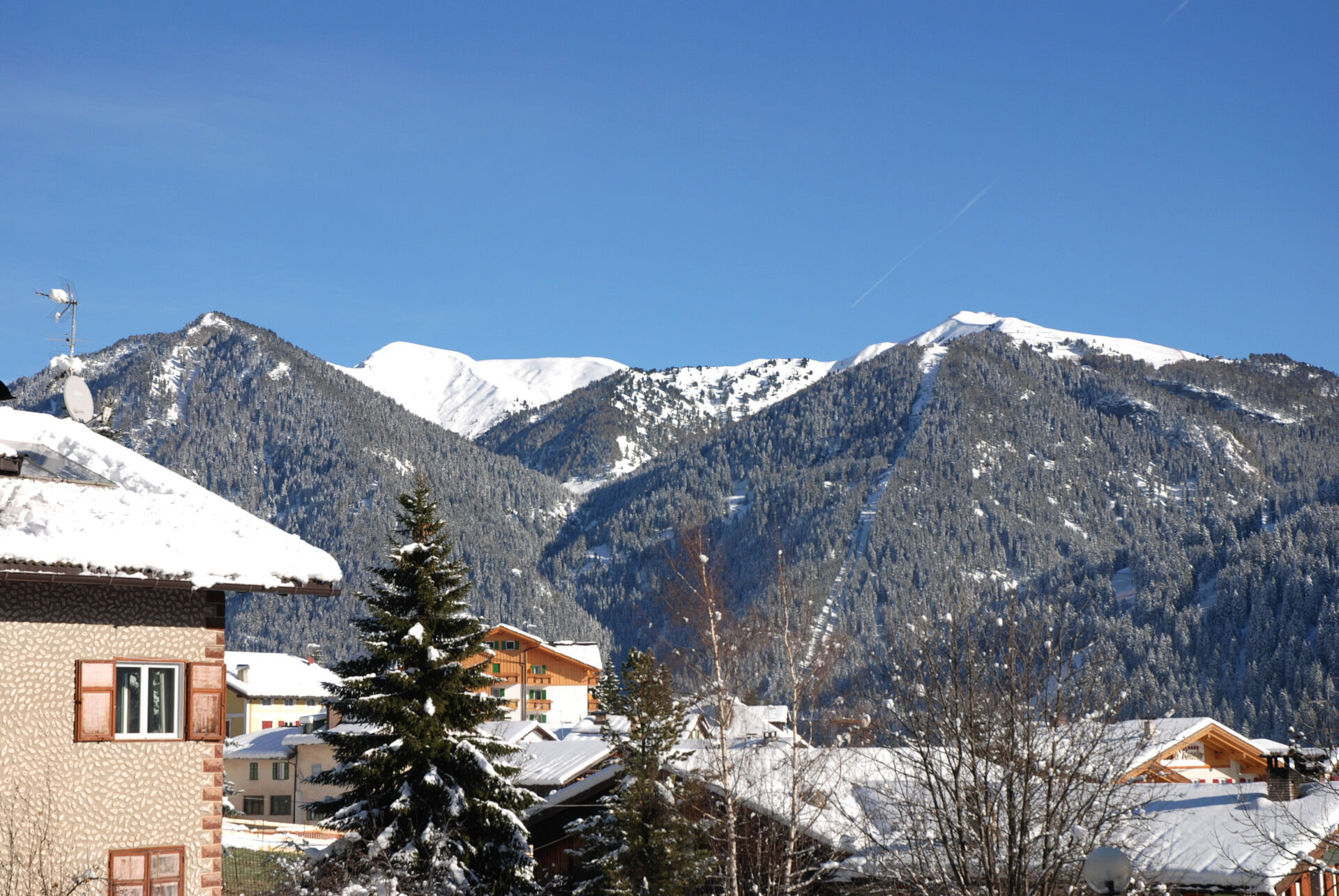
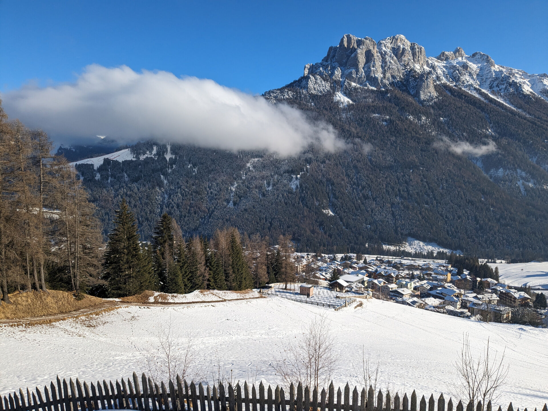
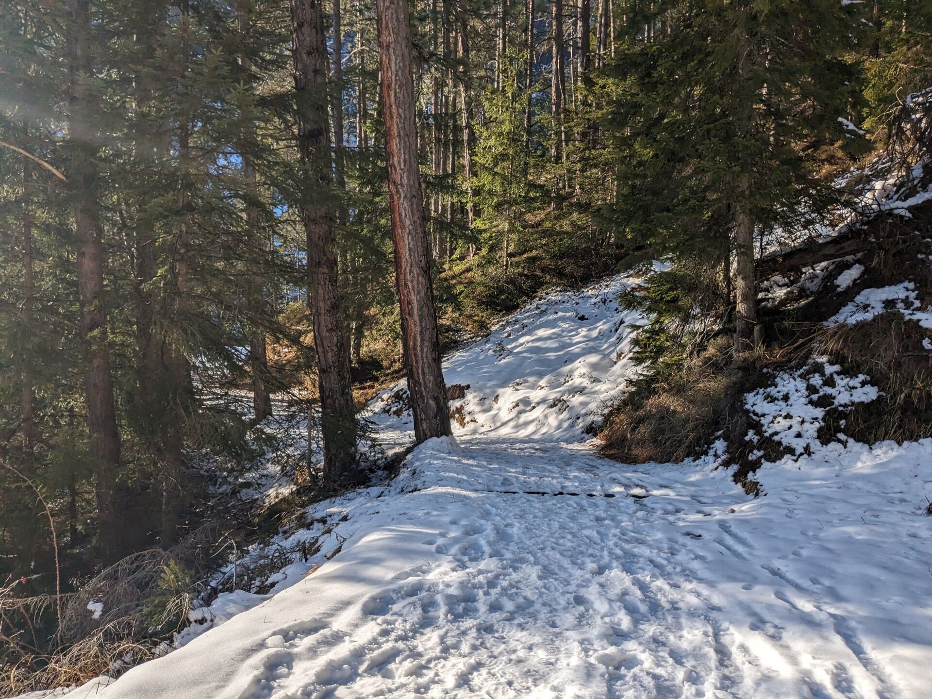
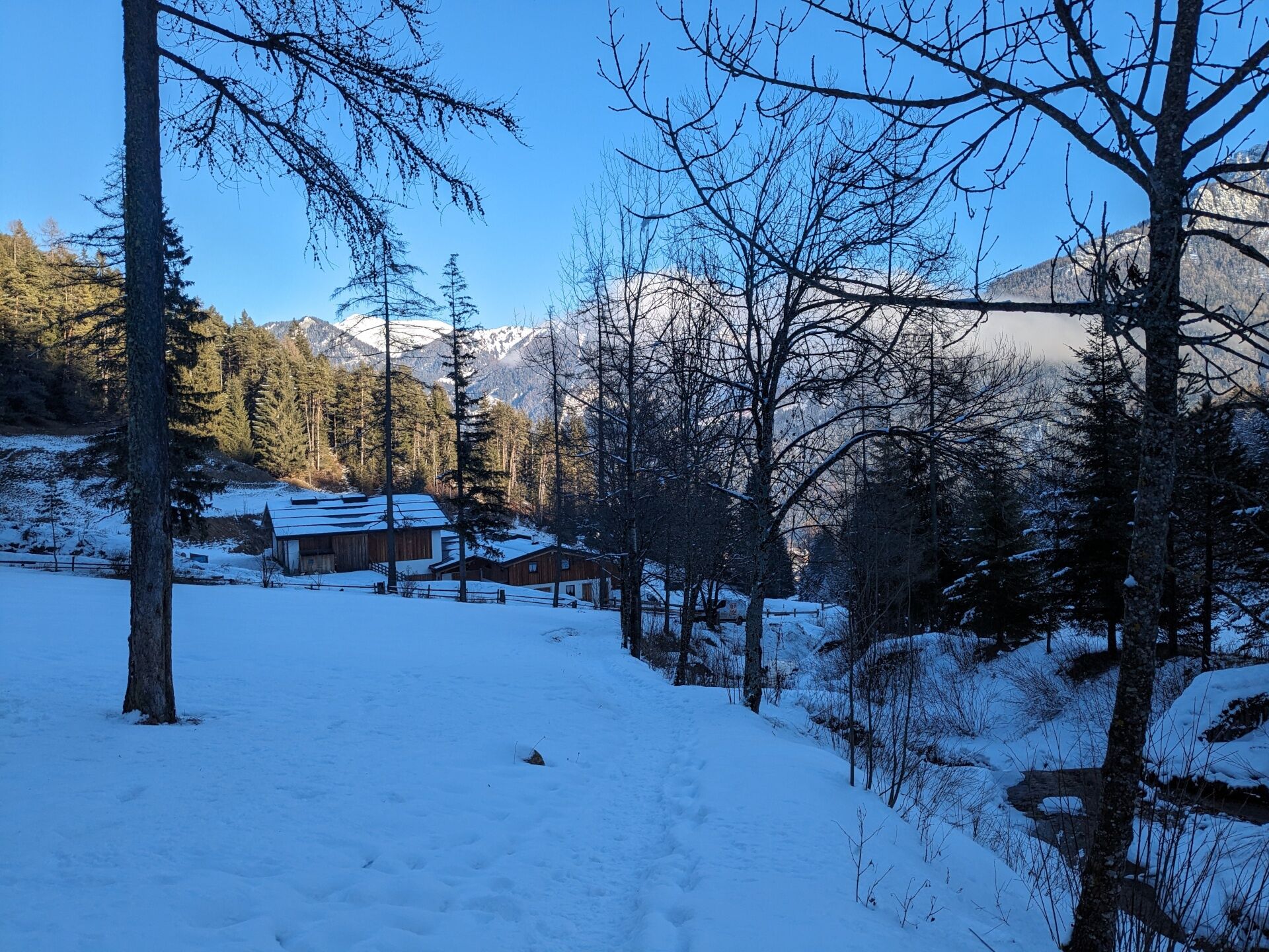
From the town centre, climb Strada de Piz to the town centre until you arrive at the covered fountain and continue straight on along Strada de Sent’Uiana. Go past the last house on the left and follow...
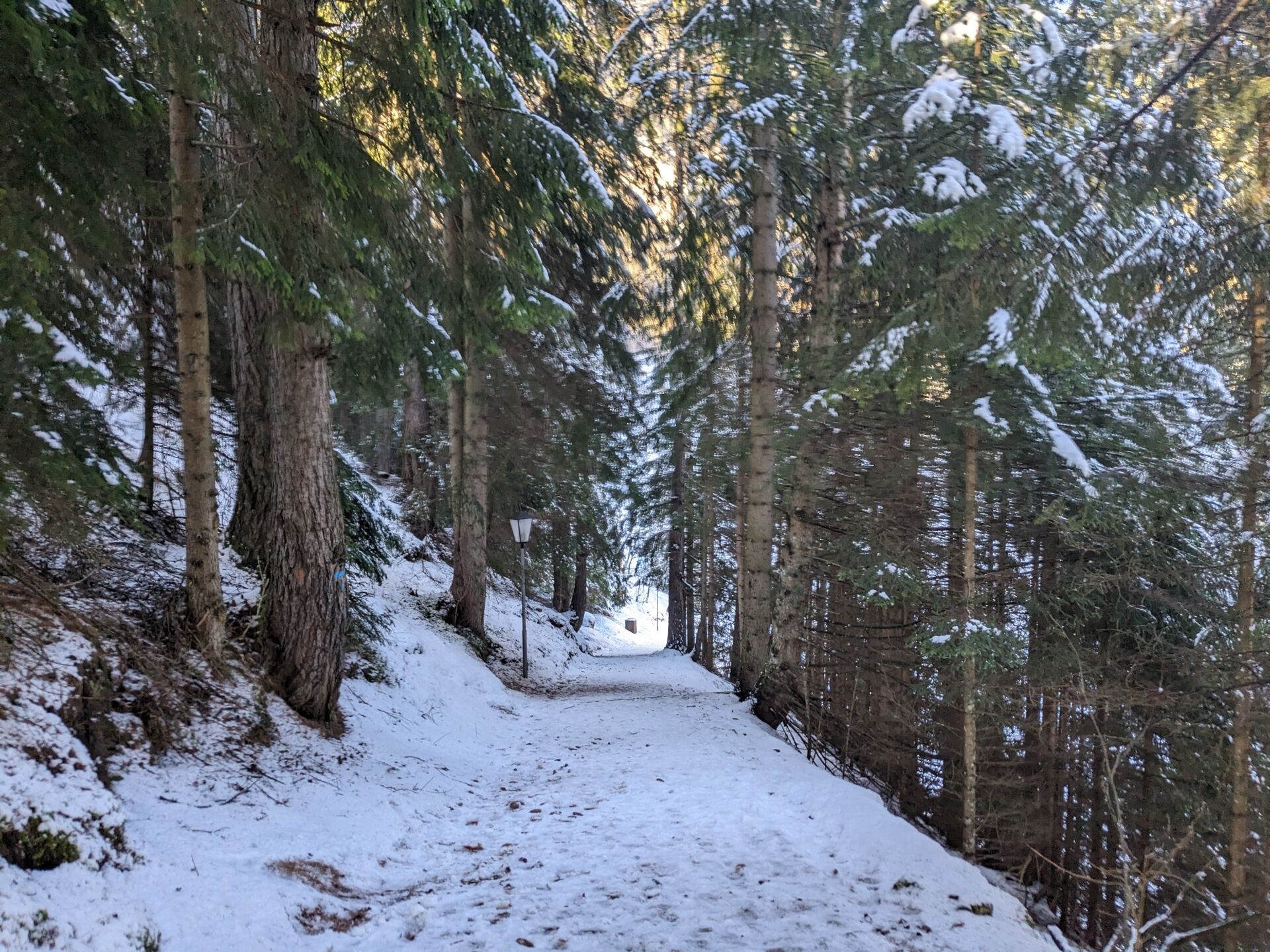
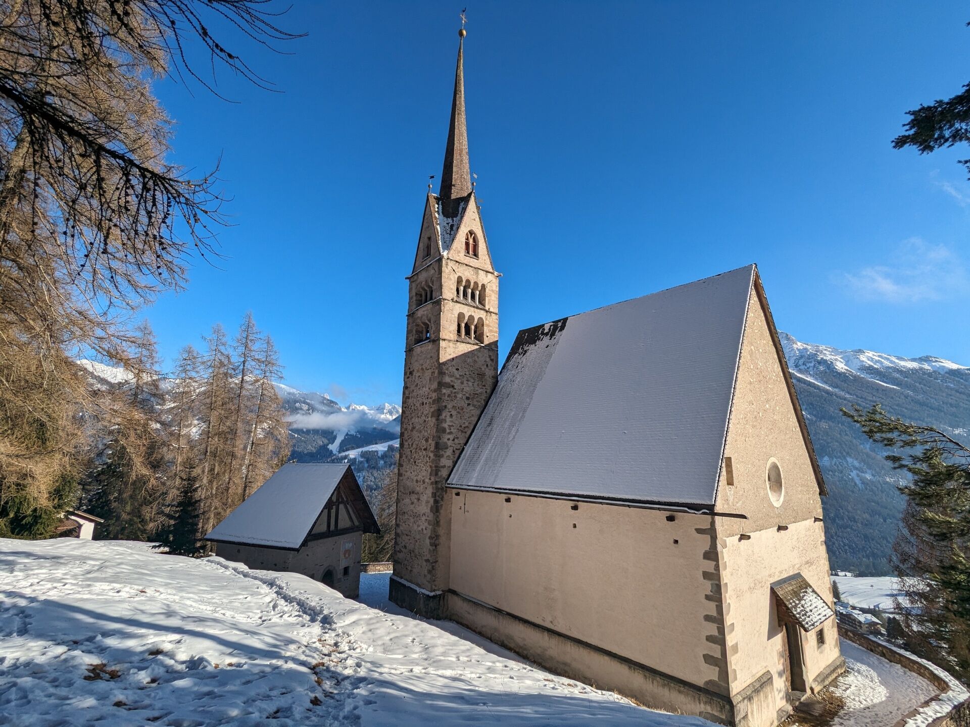
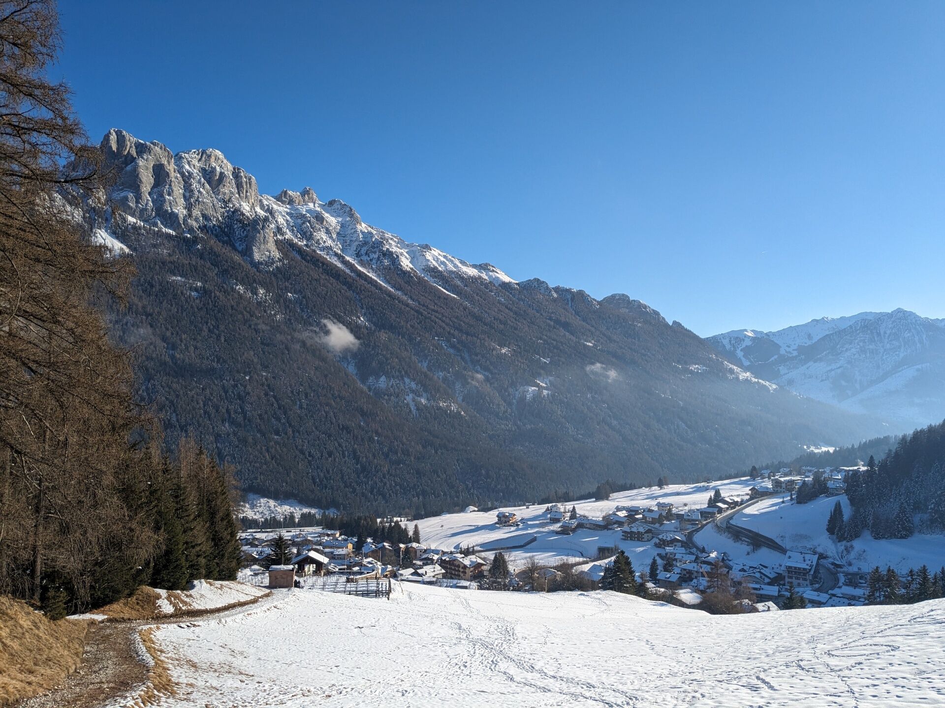
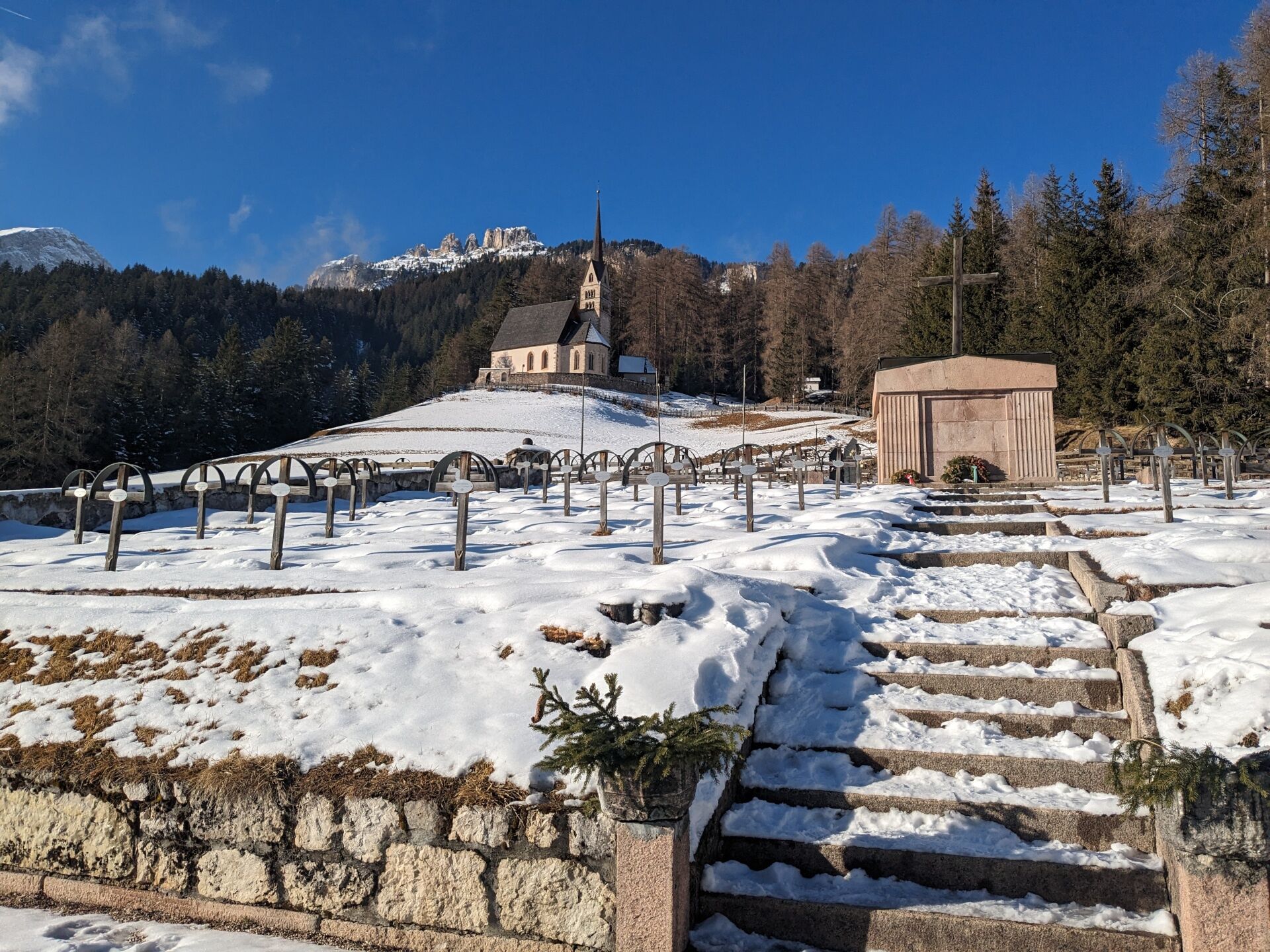
From the town centre, climb Strada de Piz to the town centre until you arrive at the covered fountain and continue straight on along Strada de Sent’Uiana. Go past the last house on the left and follow the little paved road leading to the boundary wall of the church, one of the richest buildings in the entire Val di Fassa from a historical point of view. The church dedicated to Santa Giuliana (there are documents witnessing that it existed already in 1237) is one of the most ancient church in the valley. On the outside there is a large figure representing Saint Christopher with a child, today hardly discernable. Inside are two precious works of art: the extremely beautiful frescoes on the apse, probably painted by artists of the Brixen’s school and dating back to the second half of the 15th century, and the wooden high altar, carved in 1517 by Giorgio Artz from Bolzano. The large number of benches disseminated throughout the beautiful larch forest invites to take a break in such an enchanting corner of the region beneath the church; you can also visit the Austro-Hungarian War Cemetery. The cemetery hosts the bodies of 663 soldiers killed during the First World War coming from all the countries that belonged to the Austro-Hungarian Empire at the time. From the hill behind the church, follow on the left an easy dirt path, until you cross another path which derives from Valongia. Follow this path that turns into Strada de Pontac, and then go onto Strada Rezia, and keep on walking until you get to the starting point of the itinerary.

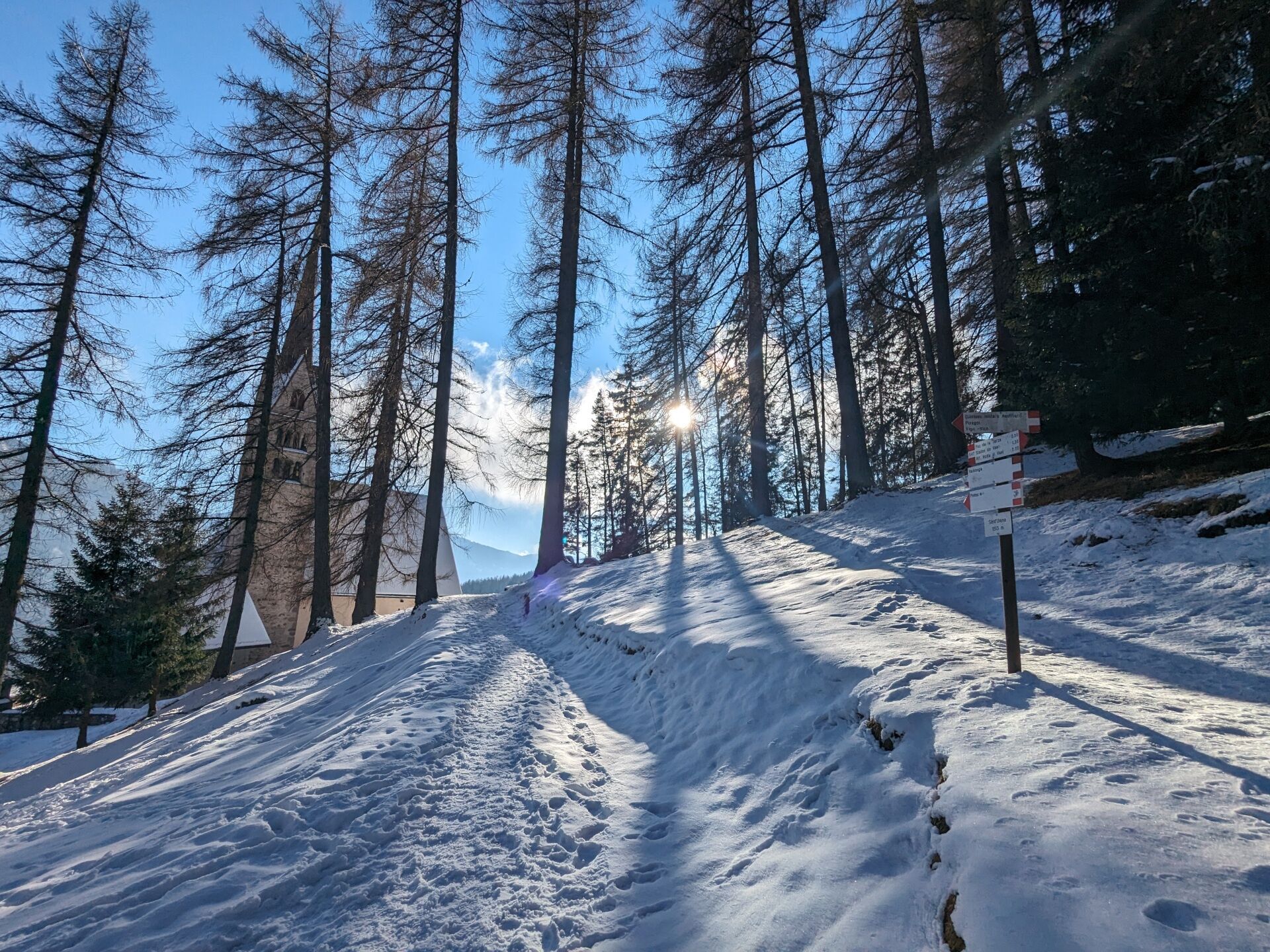


From the central square in Vigo ("Piaz de Vich") go up along Strada de Piz and Strada de Sent’Uiana streets.
Come back to the village descending along Strada de Pontac street. Go back to the starting point along Strada Rezia street.
Ensure you are properly equipped with hiking boots, crampons, and poles, and carry essential items in your backpack for potential emergencies, including a basic first aid kit.
1. Plan your hike according to your abilities, the weather, the characteristics, and conditions of the itinerary as well the avalanche risk.
2. Always prefer being accompanied by somebody. If possible, rely on a professional mountain guide.
3. Make sure you have suitable clothes and equipment (boots, crampons, and poles).
4. Inform somebody of your itinerary, return time, and possible changes.
5. Take it easy, enjoy the landscape and the silence.
6. If uncertain about the direction, turn back.
7. Stay out of cross-country and alpine skiing slopes.
8. Respect the environment around you. Bring back your rubbish.
9. Bring your pet along, but keep it on a leash.
10. Help those in need. Call the European emergency number 112 only in case of real necessity.
exit Ora/Egna, S.S. 48 delle Dolomiti - San Lugano Pass - Val di Fiemme - Val di Fassa (distance 45 km). At the roundabout in Moena (industrial area), proceed towards Canazei exit Bolzano Nord, S.S. 241 Grande Strada delle Dolomiti - Carezza Pass - Vigo di Fassa (distance 40 km). From Vigo, head north for Canazei, head south for Soraga di Fassa and Moena
Other access points to Val di Fassa:
from A27 motorway (Venezia), exit Belluno/Ponte nelle Alpi, S.S. 203 to Agordo and S.P. 346 to San Pellegrino Pass - Moena (Val di Fassa). At the roundabout in Moena, proceed towards Canazei from A27 motorway (Venezia), exit Belluno/Ponte nelle Alpi, S.S. 203 to Agordo/Alleghe/Rocca Pietore. S.P. 641 to Fedaia Pass - Canazei coming from Arabba, S.S. 48 to Pordoi Pass - Canazei from Val Gardena, S.S. 242 to Sella Pass - Canazei
line no. 101 Canazei - Cavalese - Trento line no. 104 Cavalese - Ora - Trento line no. 123 Moena - San Pellegrino Pass - Falcade
Public transport lines SAD - Val di Fassa:
line no. 180 Vigo di Fassa - Carezza Pass - Bolzano
- Nearest bus stop (Trentino Trasporti/SAD): Vigo di Fassa > Strada Rezia/Hotel Carpe Diem
- Nearest ski bus stop: Vigo di Fassa > Vigo Impianti Catinaccio
Free or paid parking spaces in the vicinity of the ski lifts.
Tourist Board Val di Fassa
Strèda Roma, 36
38032 Canazei (TN)
Phone +39 0462 609500
info@fassa.com
www.fassa.com
The tracks are primarily beaten only by foot traffic and are not subject to mechanical maintenance or grooming services. Specific signs marking the itinerary are not present along the route.
Pay close attention to the terrain at all times, as icy and slippery sections can occur, especially in shaded areas.
Popular tours in the neighbourhood
- 4,8
Langkofel-Umrundung
mediumHiking12,9 km - 4,7
Anello Passo Pordoi-Forcella P-Piz Boè
mediumHiking10,6 km - 4,6
Passo Pordoi - Sass Pordoi - Forcella Pordoi - Piz Boè - Rifugio Boè - Forcella Pordoi - Passo Pordoi
heavyHiking8,39 km - 4,8
Torre di Pisa mountain hut
mediumHiking9,09 km - 4,4
Dolomiten Sellagruppe, Alb. Col di Lana, Sas de Pordoi, Piz Boé retour 22.06.2016
mediumHiking5 km - 4,6
Umrundung Langkofel und Plattkofel, Gipfel Plattkofel
heavyHiking21,8 km - 4,9
Lang- und Plattkofel Umrundung
mediumHiking17,5 km - 3,8
Der Friedrich-August-Weg
mediumHiking10,4 km - 4,2
Rundwanderung Compatsch-Schlernhaus-Tierser Alpl
mediumHiking21,2 km - 4,8
Sasslong Rundwanderung
mediumHiking10,8 km
Hiking & Tracking


Don't miss out on offers and inspiration for your next holiday
Your e-mail address has been added to the mailing list.