Levico Terme - Cappelletta - chiesa di Santa Anna - Tezze Valsugana
light
Navigate
Navigate
Get this tour on your mobile
Levico Terme - Cappelletta - chiesa di Santa Anna - Tezze Valsugana
light
Cycling
40.86
km
Scan the QR code and start navigation in the bergfex app

Hiking & Tracking


Distance
40.86
km
Duration
05:03
h
Ascent
17
m
Sea level
230 -
490
m
Track download
Levico Terme - Cappelletta - chiesa di Santa Anna - Tezze Valsugana
light
Cycling
40.86
km


Route
Levico Terme
(477 m)
City
0.0 km
Cappelletta
(425 m)
Place of worship
13.3 km
chiesa di Santa Anna
(384 m)
Place of worship
19.6 km
Castelnuovo
(360 m)
Village
23.5 km
Ospedaletto
(344 m)
Village
28.4 km
Selva di Grigno
(270 m)
Settlement
33.4 km
Filippini
(250 m)
Settlement
38.1 km
Route
Levico Terme - Cappelletta - chiesa di Santa Anna - Tezze Valsugana
light
Cycling
40.86
km
Levico Terme
(477 m)
City
0.0 km
Costa
(448 m)
Settlement
2.9 km
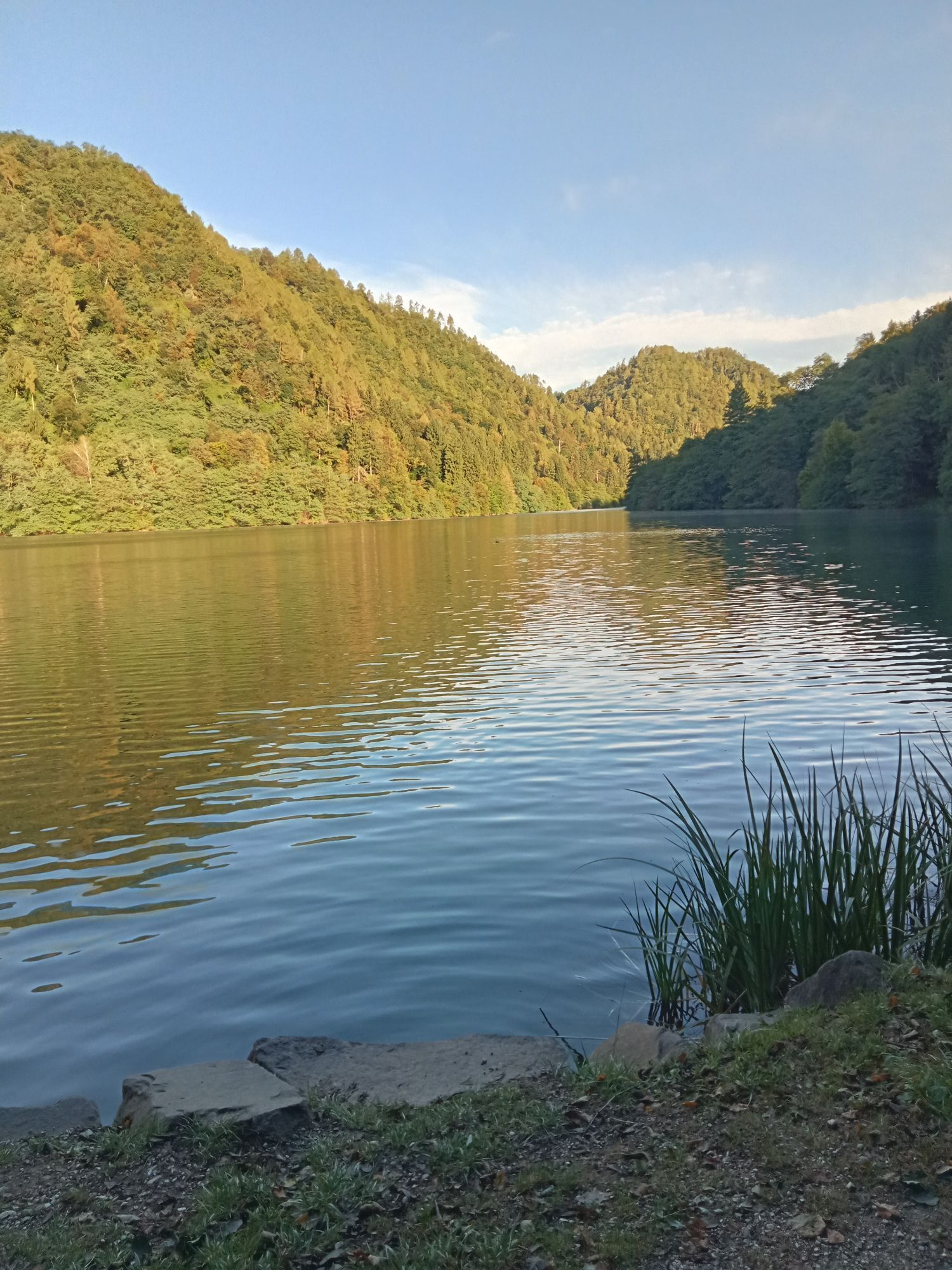
Lago Morto
(426 m)
Corridor/terrain
10.2 km
Cappelletta
(425 m)
Place of worship
13.3 km
Marter
(423 m)
Village
13.6 km
Borgo Valsugana
(383 m)
City
19.5 km
chiesa di Santa Anna
(384 m)
Place of worship
19.6 km
San Rocco
(385 m)
Place of worship
19.8 km
chiesa della Natività di Maria
(384 m)
Place of worship
19.8 km
Castelnuovo
(360 m)
Village
23.5 km
Ausei
(358 m)
Settlement
24.0 km
Ospedaletto
(344 m)
Village
28.4 km
Coalo della polveriera
(293 m)
Cave entrance
31.9 km
Selva di Grigno
(270 m)
Settlement
33.4 km
Filippini
(248 m)
Corridor/terrain
36.3 km
Filippini
(250 m)
Settlement
38.1 km
Tezze Valsugana
(236 m)
Village
40.3 km
No reviews yet
Popular tours in the neighbourhood
- 4.7
Cima Vezzana
mediumHiking11.2 km - 5.0
Frotten-lago di Erdemolo-rif.Sette Selle
mediumHiking11.4 km Ijsmeertje. Lago Erdemolo. Palù del Fersina, Trentino-Alto Adige/Italia
mediumHiking8.81 kmErdemolo en Sette Selle
mediumHiking11.9 kmForte Busa Granada
lightHiking3.01 kmPiazzale Lozze-cima Caldiera-monte Ortigara
mediumHiking8.55 kmMonte Fravort
lightSki tour7.50 km- 4.0
Località Desene- malga Trenca-lago delle Carezze-monte Cola
mediumHiking11.7 km Melette anello 12 km
lightHiking11.5 kmMarcesina
mediumMountainbike46.1 km

Hiking & Tracking

Over 550.000 tour suggestions, detailed maps and an intuitive route planner make the app a must-have for all nature enthusiasts.

Don't miss out on offers and inspiration for your next holiday
Subscribe to the newsletter
Error
An error has occurred. Please try again.Thank you for your registration
Your e-mail address has been added to the mailing list.
Tours throughout Europe
Austria Switzerland Germany Italy Slovenia France Netherlands Belgium Poland Liechtenstein Czechia Slovakia Spain Croatia Bosnia and Herzegovina Luxembourg Andorra Portugal Iceland United Kingdom Ireland Greece Albania North Macedonia Malta Norway Montenegro Moldova Kosovo Hungary San Marino Romania Estonia Latvia Belarus Cyprus Lithuania Serbia Bulgaria Monaco Denmark Sweden Finland