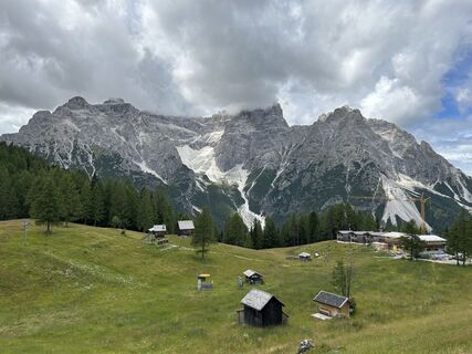
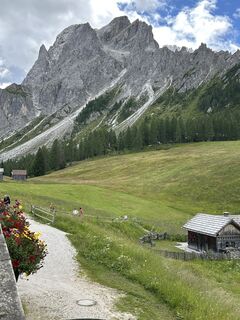
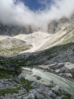
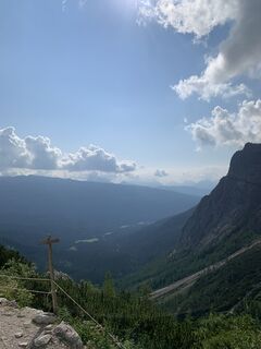
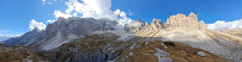
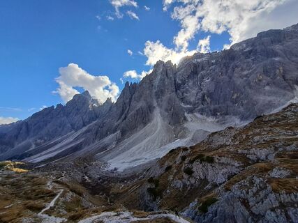
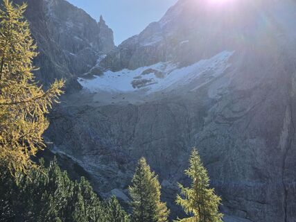
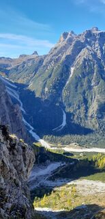
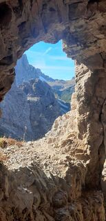
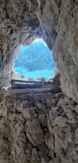
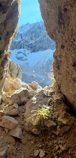
Dolomiten 101
Via ferrata
Navigate
Navigate
Get this tour on your mobile
Dolomiten 101
Via ferrata
23.80
km
Scan the QR code and start navigation in the bergfex app

Hiking & Tracking


Distance
23.80
km
Duration
16:30
h
Ascent
3,517
m
Sea level
1,902 -
2,726
m
Track download
Dolomiten 101
Via ferrata
23.80
km


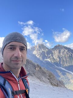
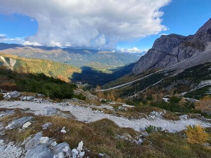
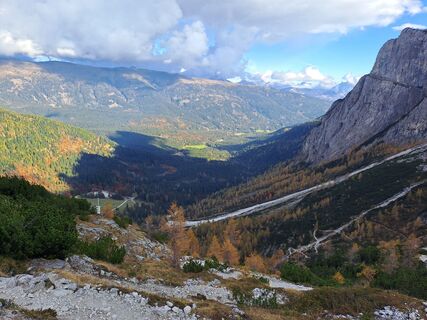
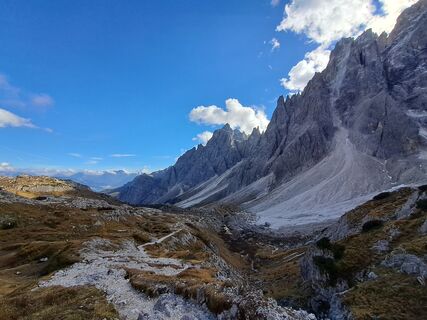
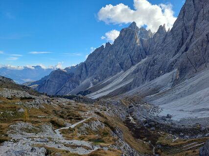
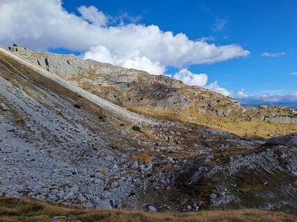
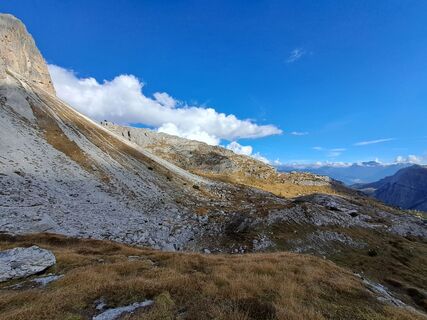
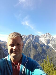
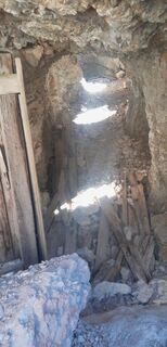
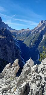
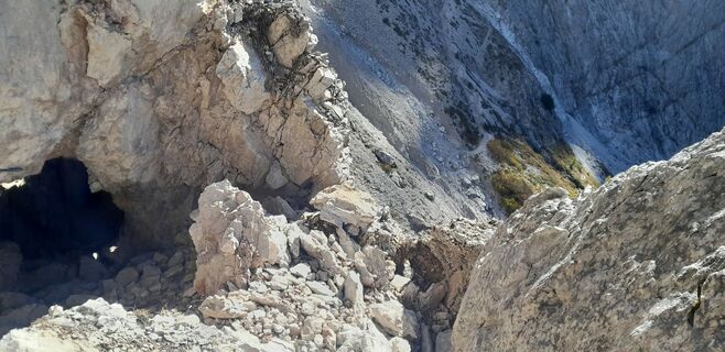
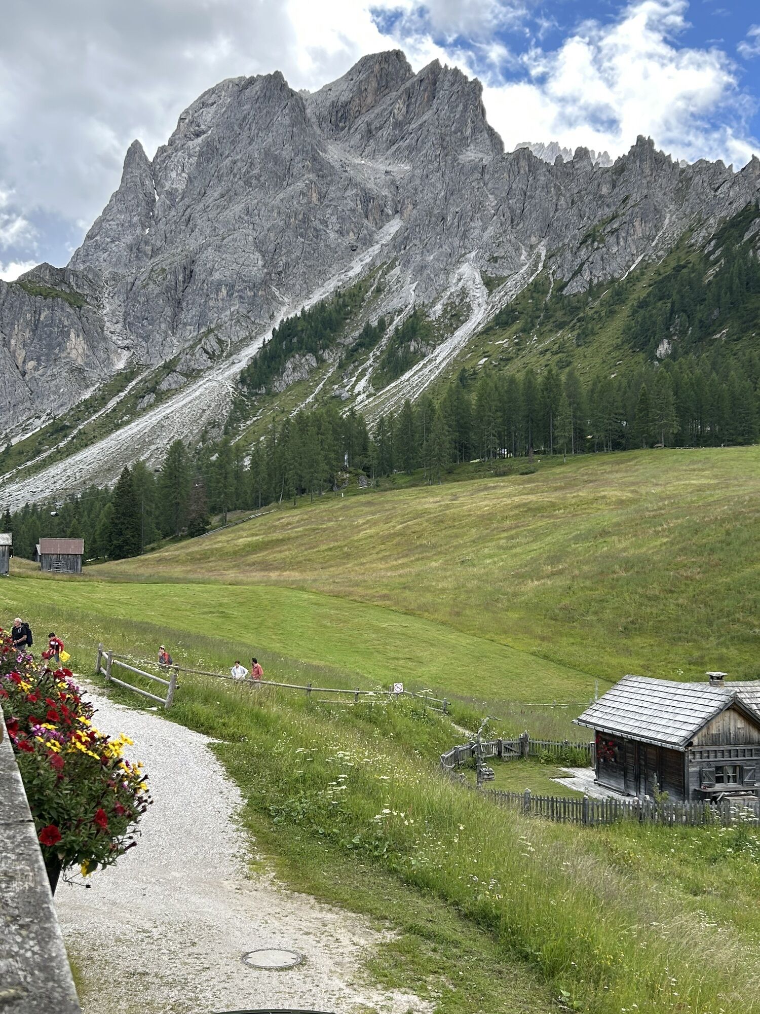
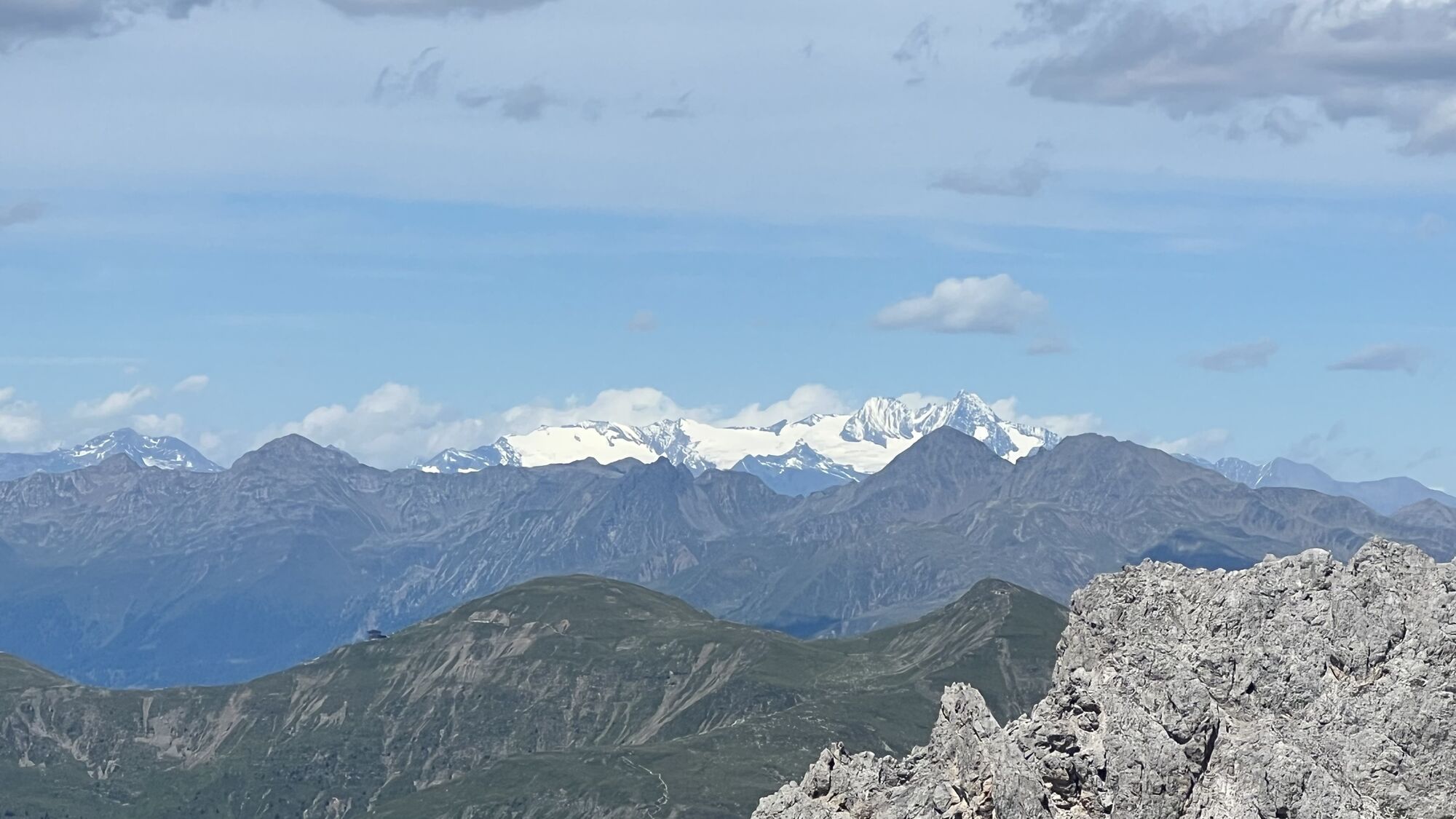
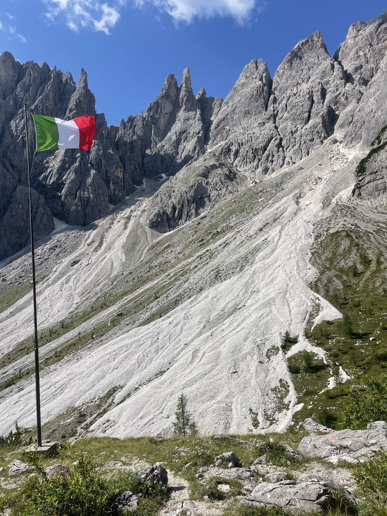
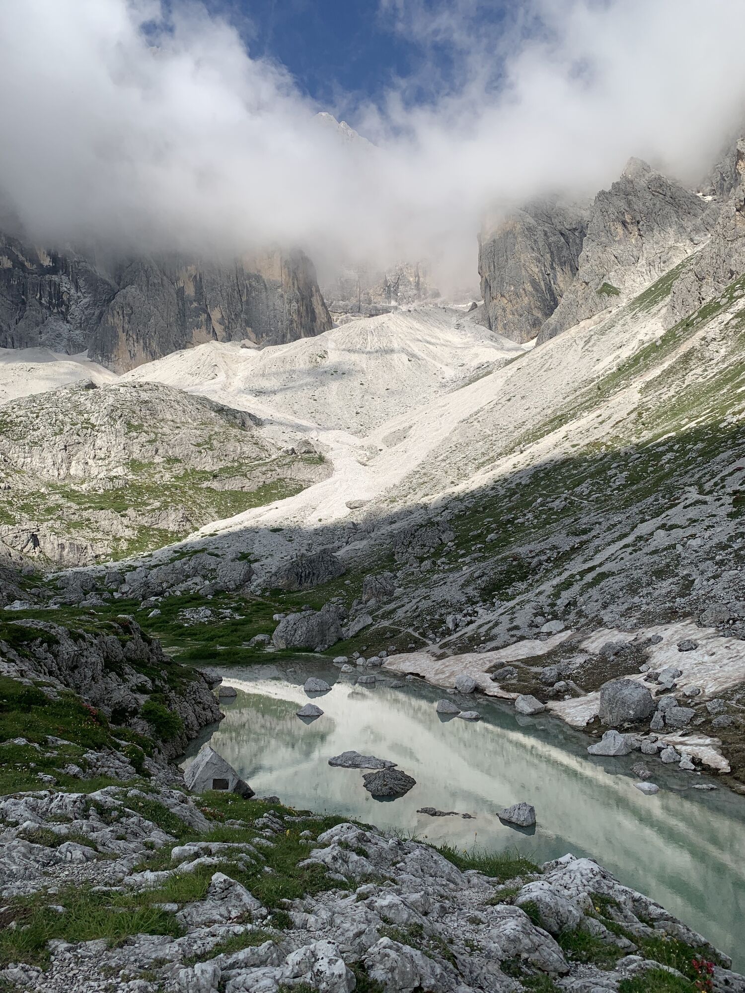
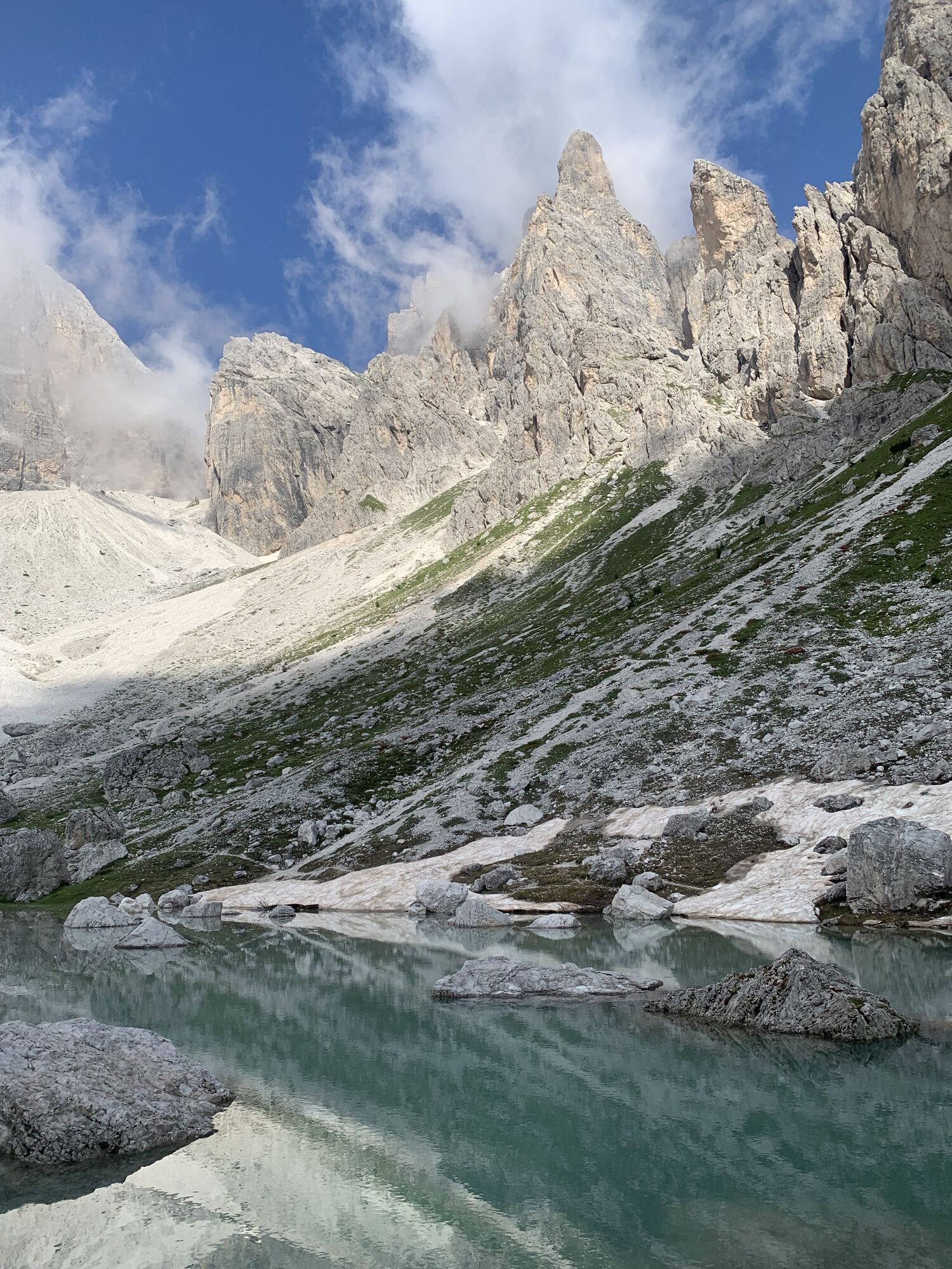
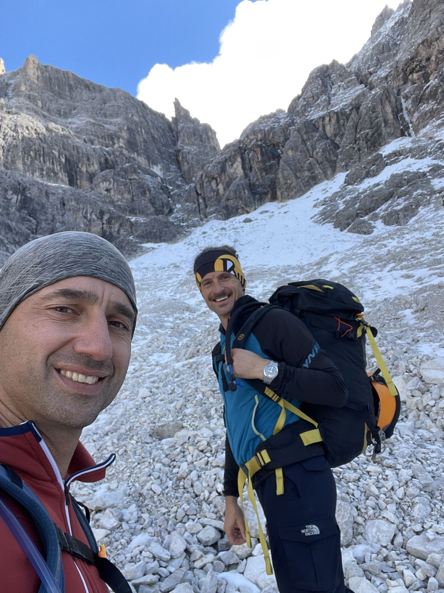
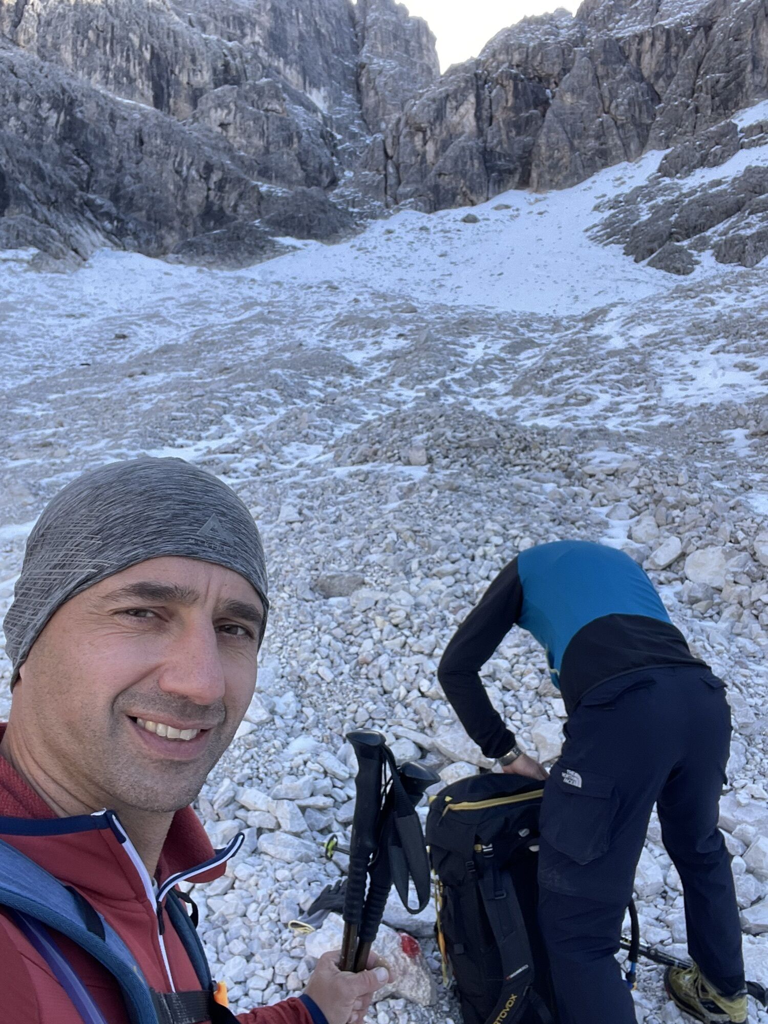
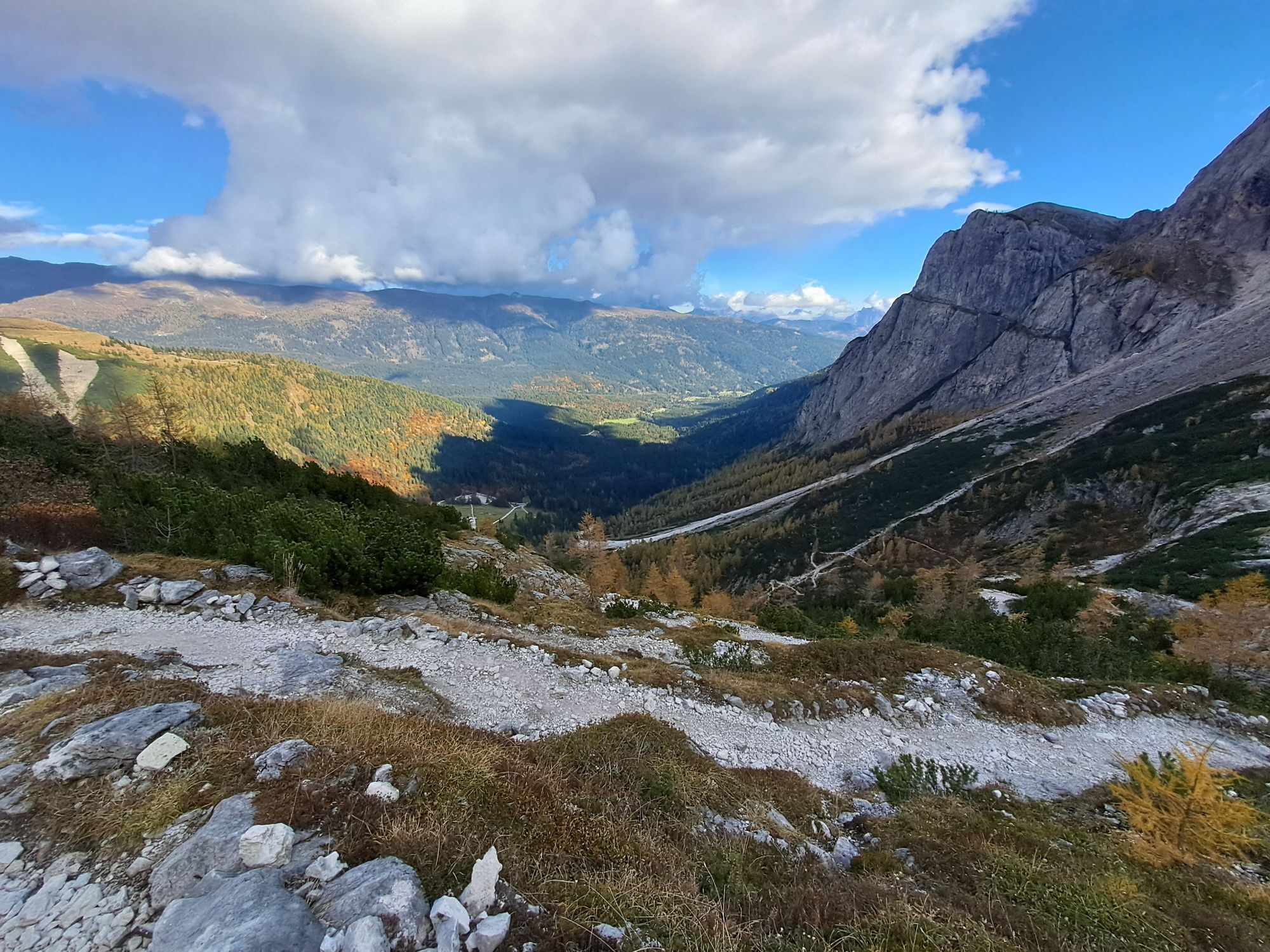
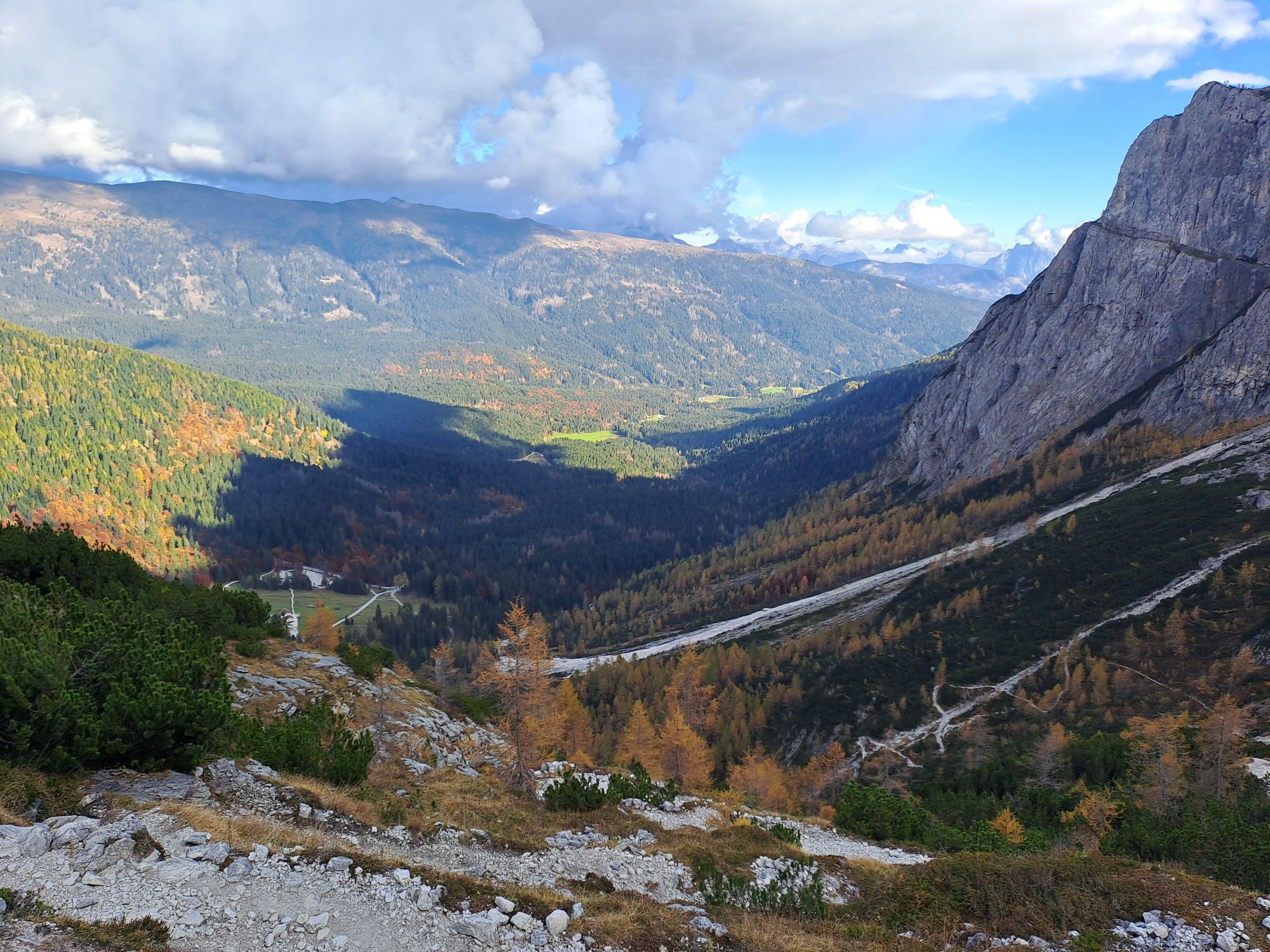
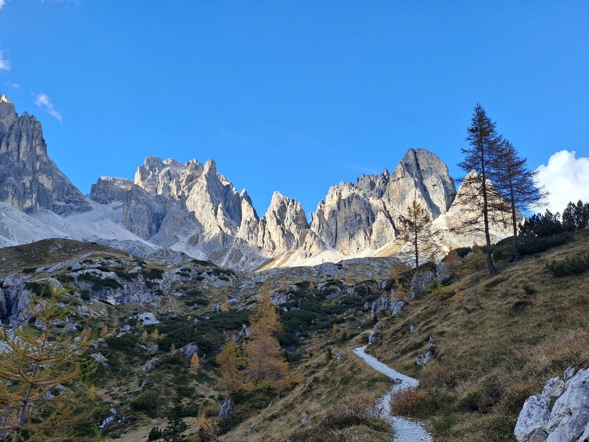
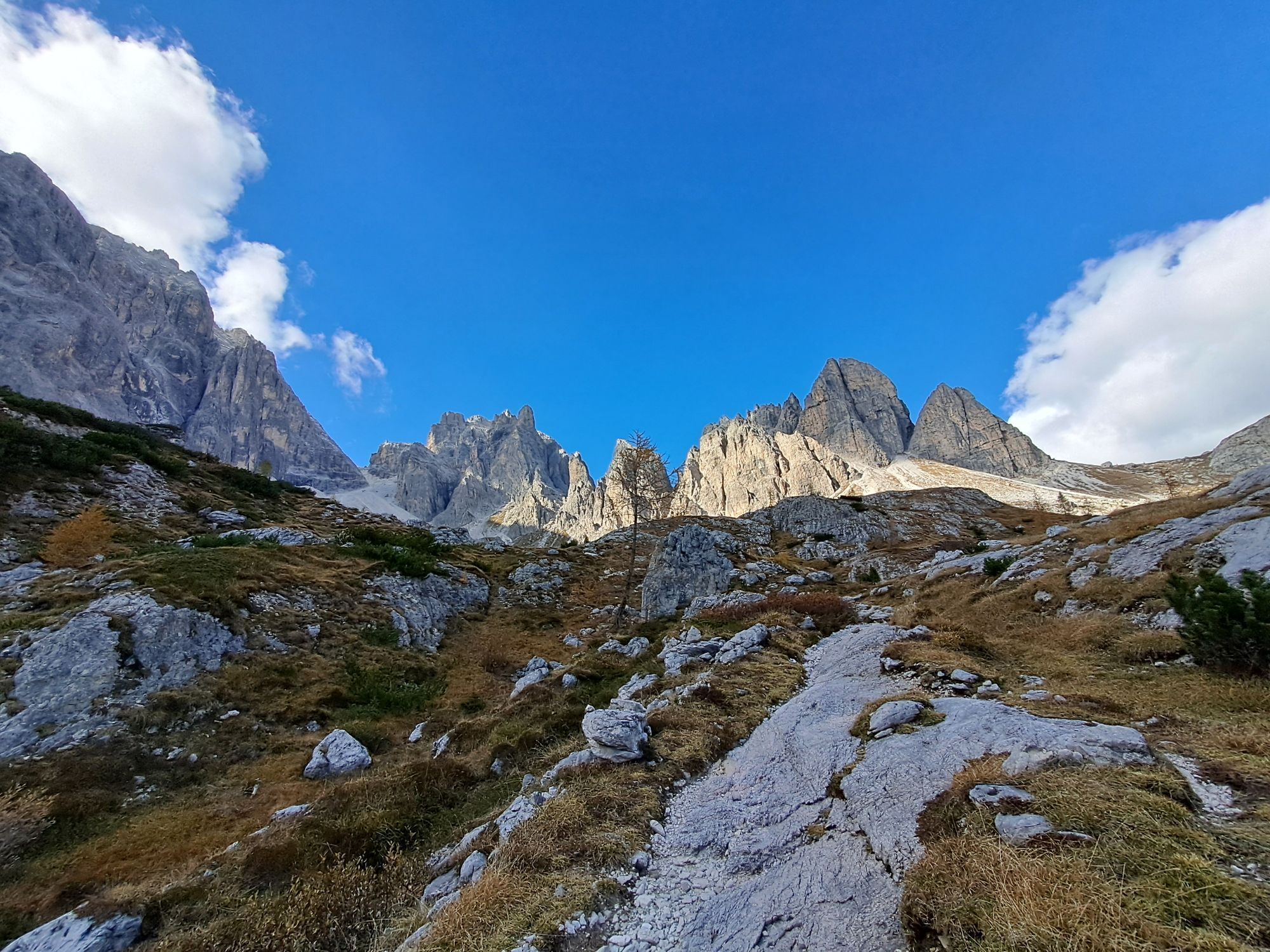
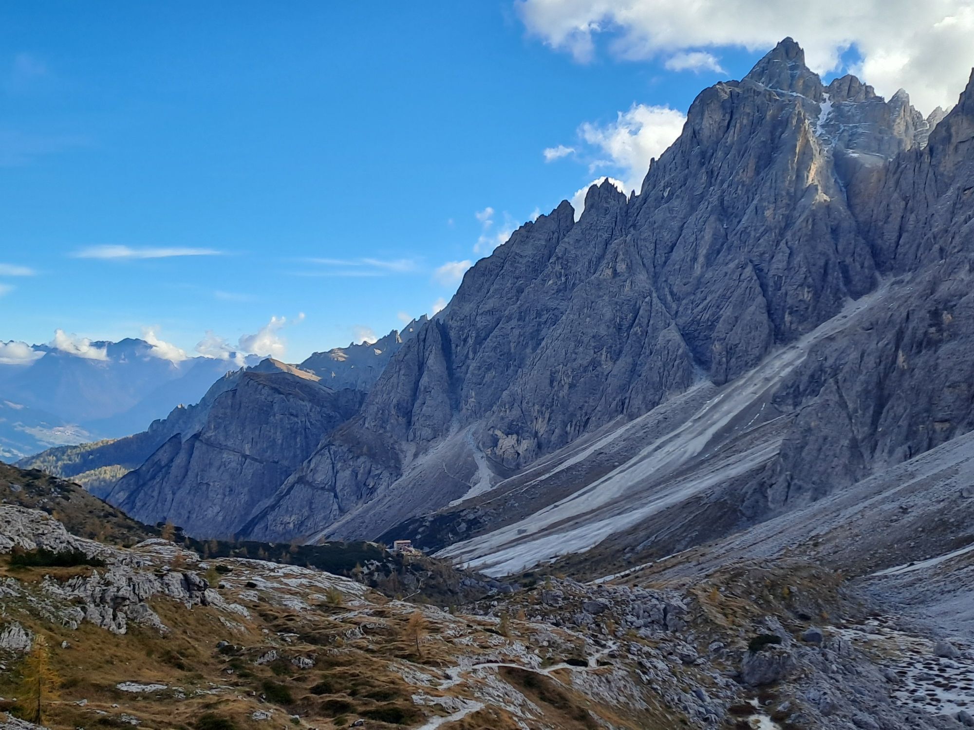
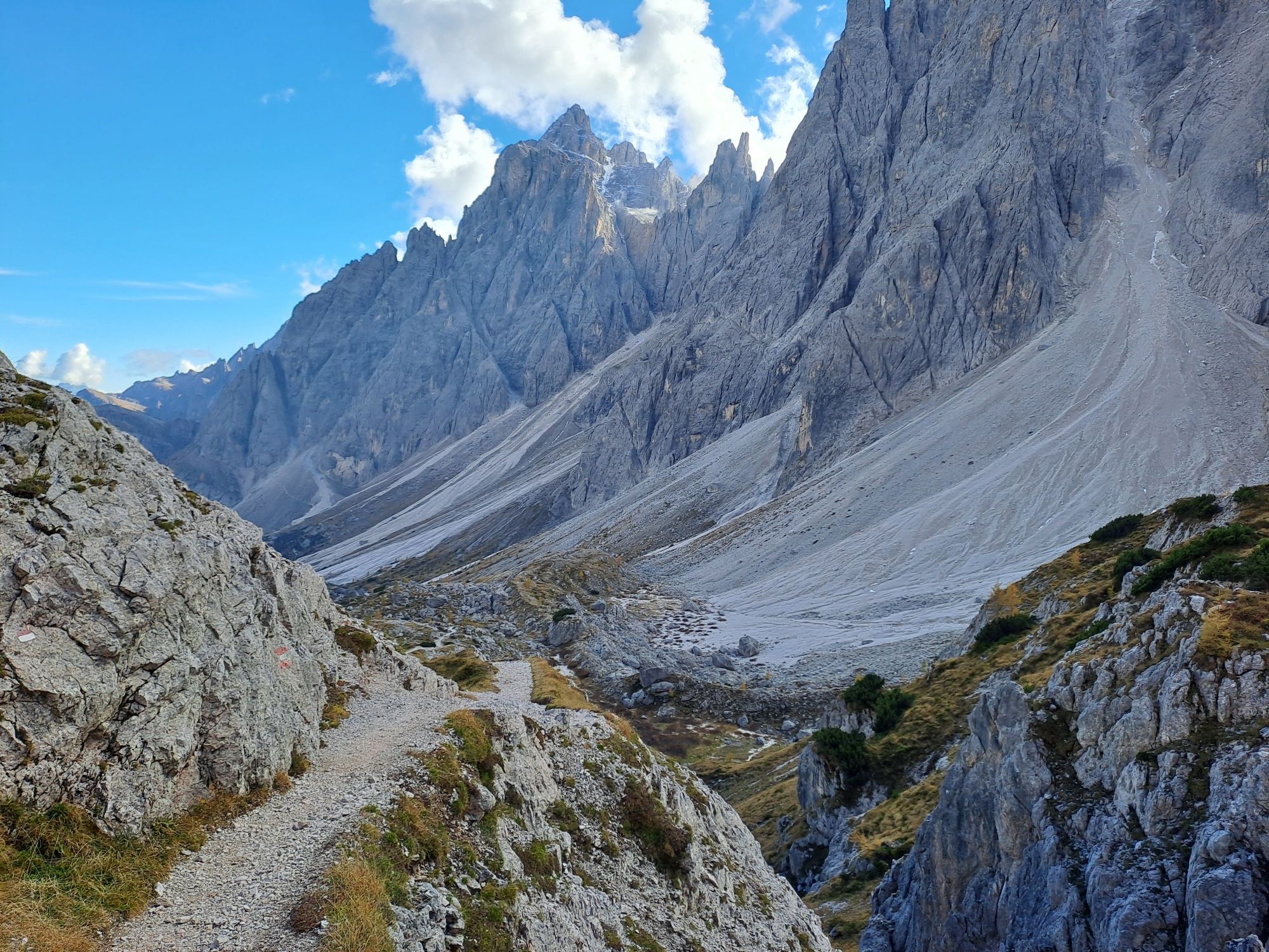
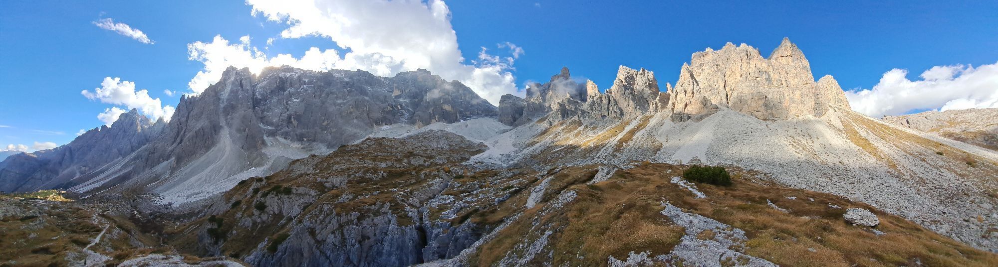
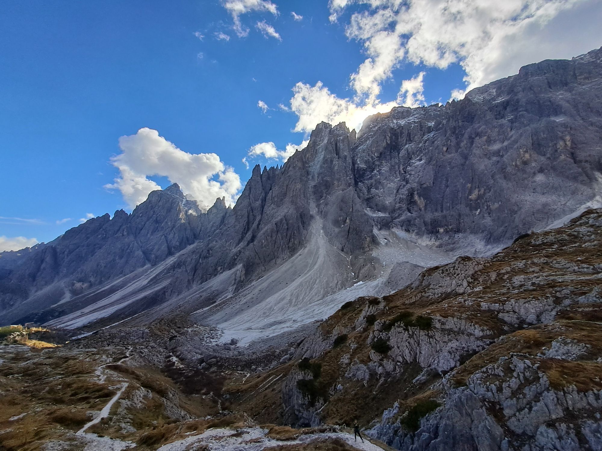
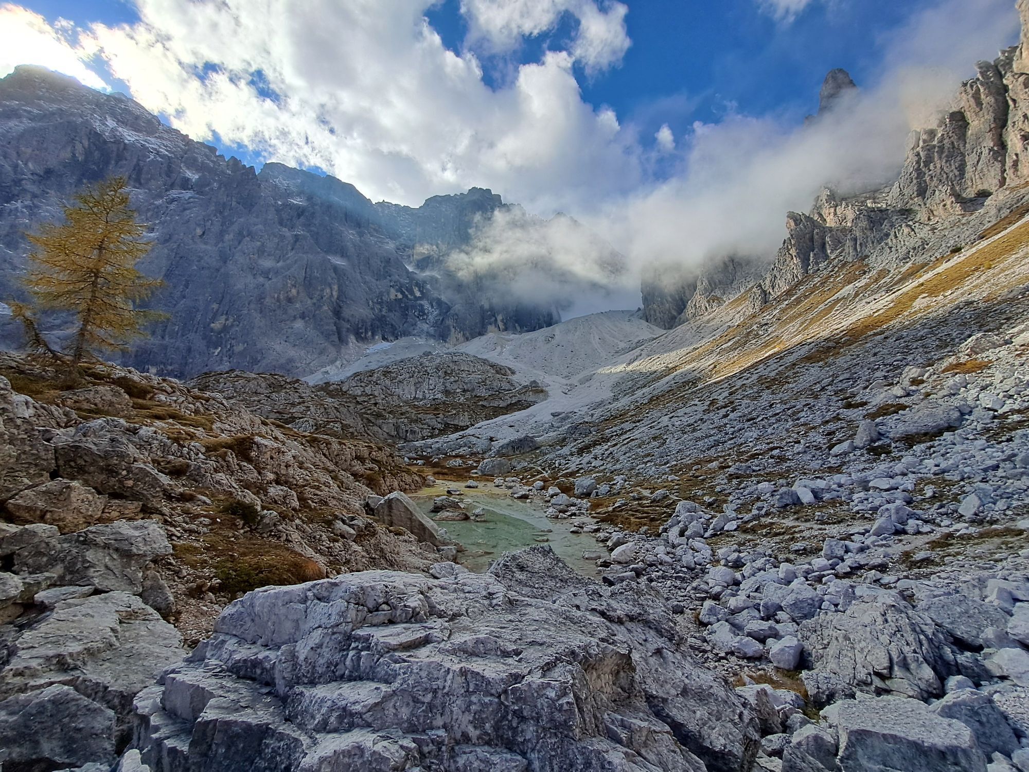
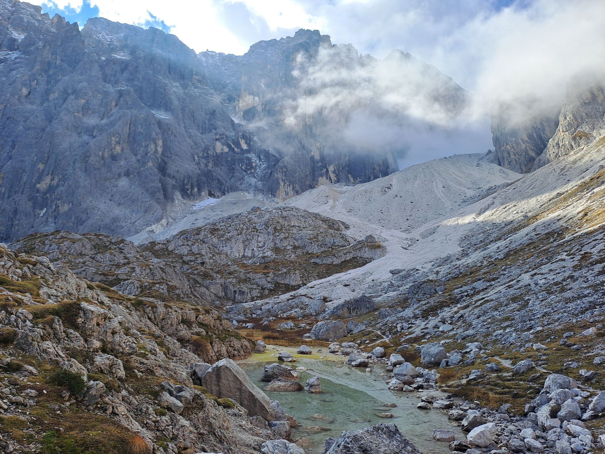
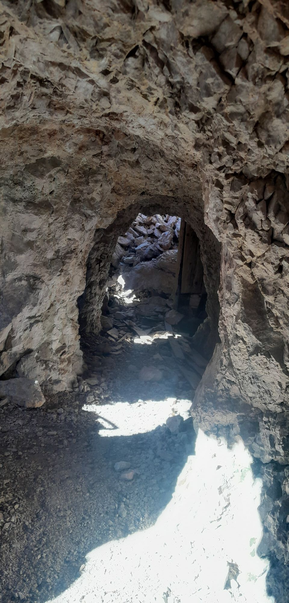
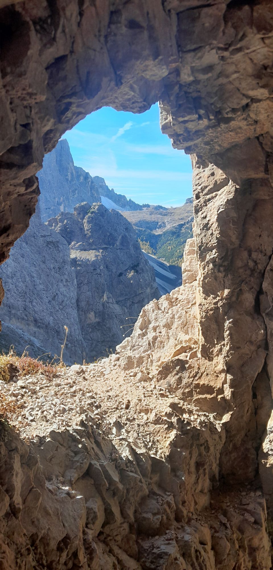
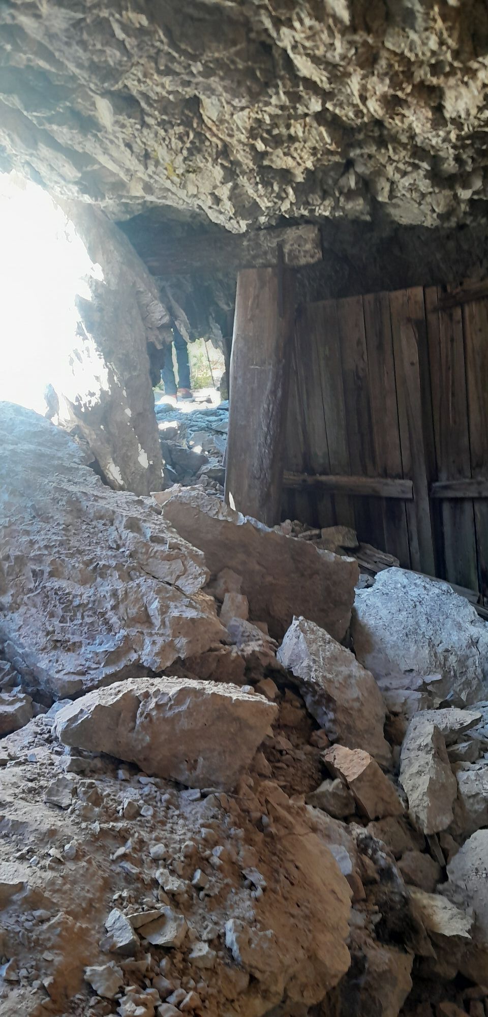
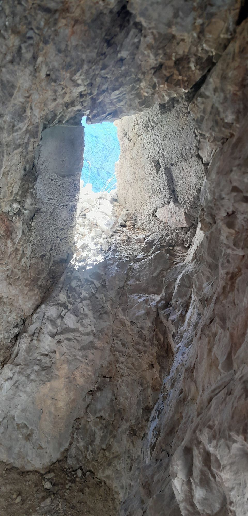
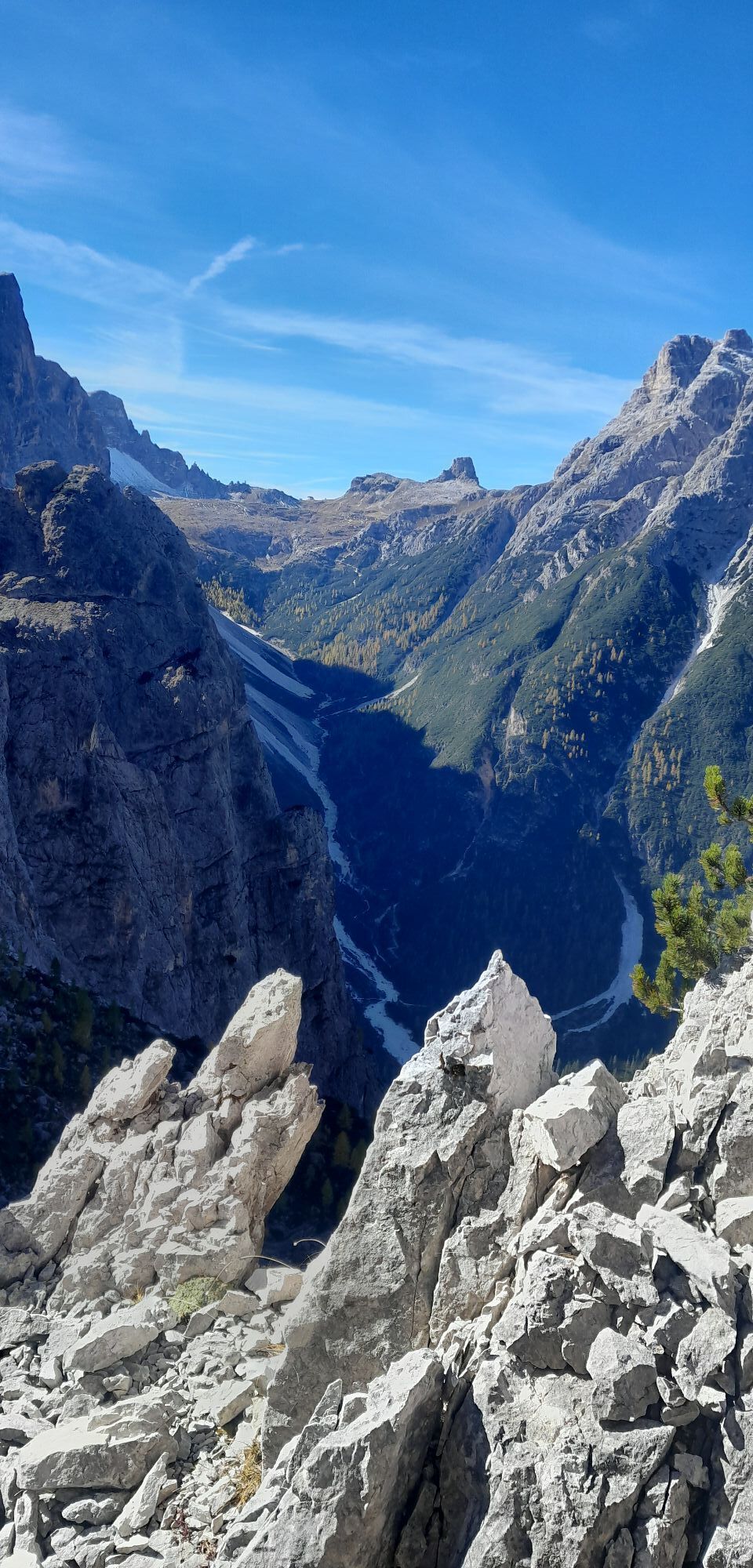
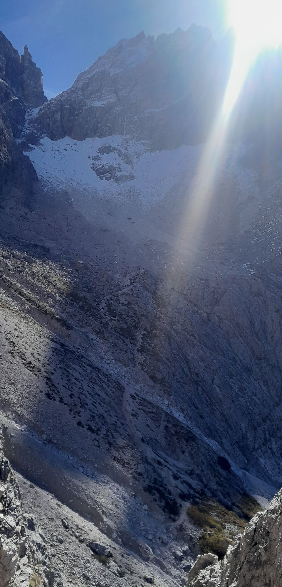
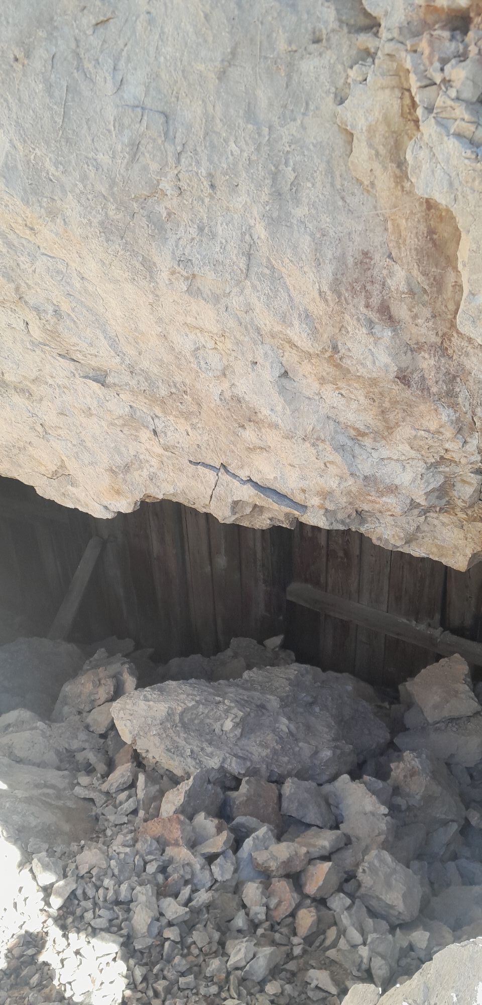
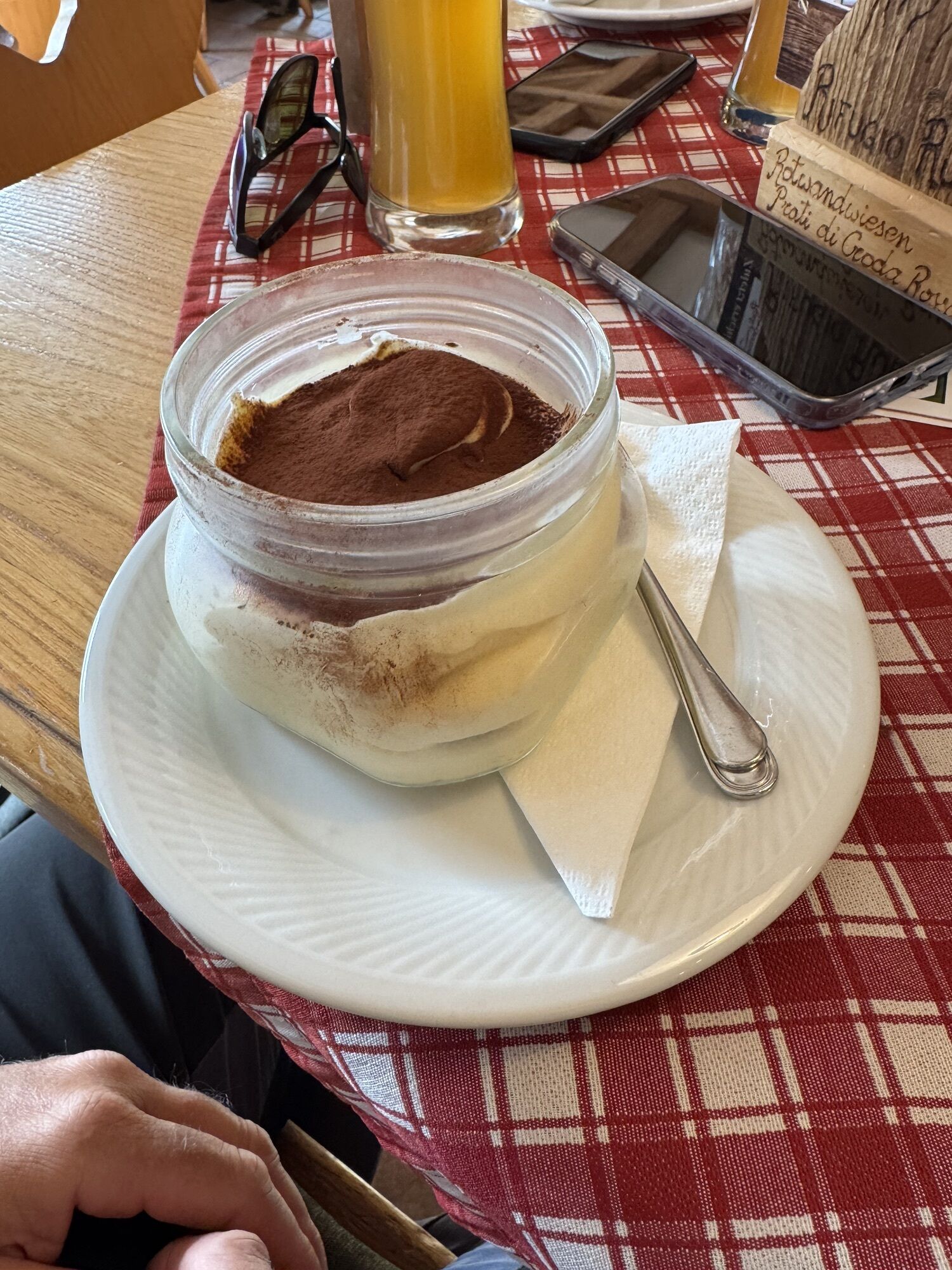
Photos from our users
-
 © RodyCreated on 31.07.2025
 -
 © RodyCreated on 31.07.2025
 -

 © GipfelspeziCreated on 18.07.2025
 -

 © Ricky RotelliCreated on 15.07.2025
 -
 © Ricky RotelliCreated on 29.07.2024
 -
 © Ricky RotelliCreated on 29.07.2024
 -
 © Ricky RotelliCreated on 18.07.2024
 -
 © Susy piazzaCreated on 11.07.2024
 -

 © Stefan SchautzerCreated on 15.10.2025
 -
 © Stefan SchautzerCreated on 15.10.2025
 -
 © Stefan SchautzerCreated on 15.10.2025
 -
 © Gunnar HerzigCreated on 14.10.2025
 -
 © Gunnar HerzigCreated on 14.10.2025
 -
 © Gunnar HerzigCreated on 14.10.2025
 -
 © Gunnar HerzigCreated on 14.10.2025
 -
 © Gunnar HerzigCreated on 14.10.2025
 -
 © Gunnar HerzigCreated on 14.10.2025
 -
 © Gunnar HerzigCreated on 14.10.2025
 -
 © Gunnar HerzigCreated on 14.10.2025
 -
 © Gunnar HerzigCreated on 14.10.2025
 -
 © Gunnar HerzigCreated on 14.10.2025
 -
 © Gunnar HerzigCreated on 14.10.2025
 -
 © Gunnar HerzigCreated on 14.10.2025
 -
 © Gunnar HerzigCreated on 14.10.2025
 -
 © Gunnar HerzigCreated on 14.10.2025
 -
 © Gunnar HerzigCreated on 14.10.2025
 -
 © Gunnar HerzigCreated on 14.10.2025
 -
 © Gunnar HerzigCreated on 14.10.2025
 -
 © Gunnar HerzigCreated on 14.10.2025
 -
 © kadotkaCreated on 13.10.2025
 -
 © kadotkaCreated on 13.10.2025
 -
 © Thomas Bock 1Created on 10.10.2025
 -
 © Thomas Bock 1Created on 10.10.2025
 -
 © Thomas Bock 1Created on 10.10.2025
 -
 © Thomas Bock 1Created on 10.10.2025
 -
 © Thomas Bock 1Created on 10.10.2025
 -
 © Thomas Bock 1Created on 10.10.2025
 -
 © Thomas Bock 1Created on 10.10.2025
 -
 © Thomas Bock 1Created on 10.10.2025
 -
 © Thomas Bock 1Created on 10.10.2025
 -
 © Thomas Bock 1Created on 10.10.2025
 -
 © Thomas Bock 1Created on 10.10.2025
 -
 © Thomas Bock 1Created on 10.10.2025
 -
 © Thomas Bock 1Created on 10.10.2025
 -
 © Thomas Bock 1Created on 10.10.2025
 -
 © Thomas Bock 1Created on 10.10.2025
 -
 © Elke HafnerCreated on 06.10.2025
 -
 © Elke HafnerCreated on 06.10.2025


Route
Rudi-Hütte - Rifugio Rudi
(1,914 m)
Restaurant
0.0 km
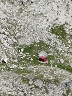
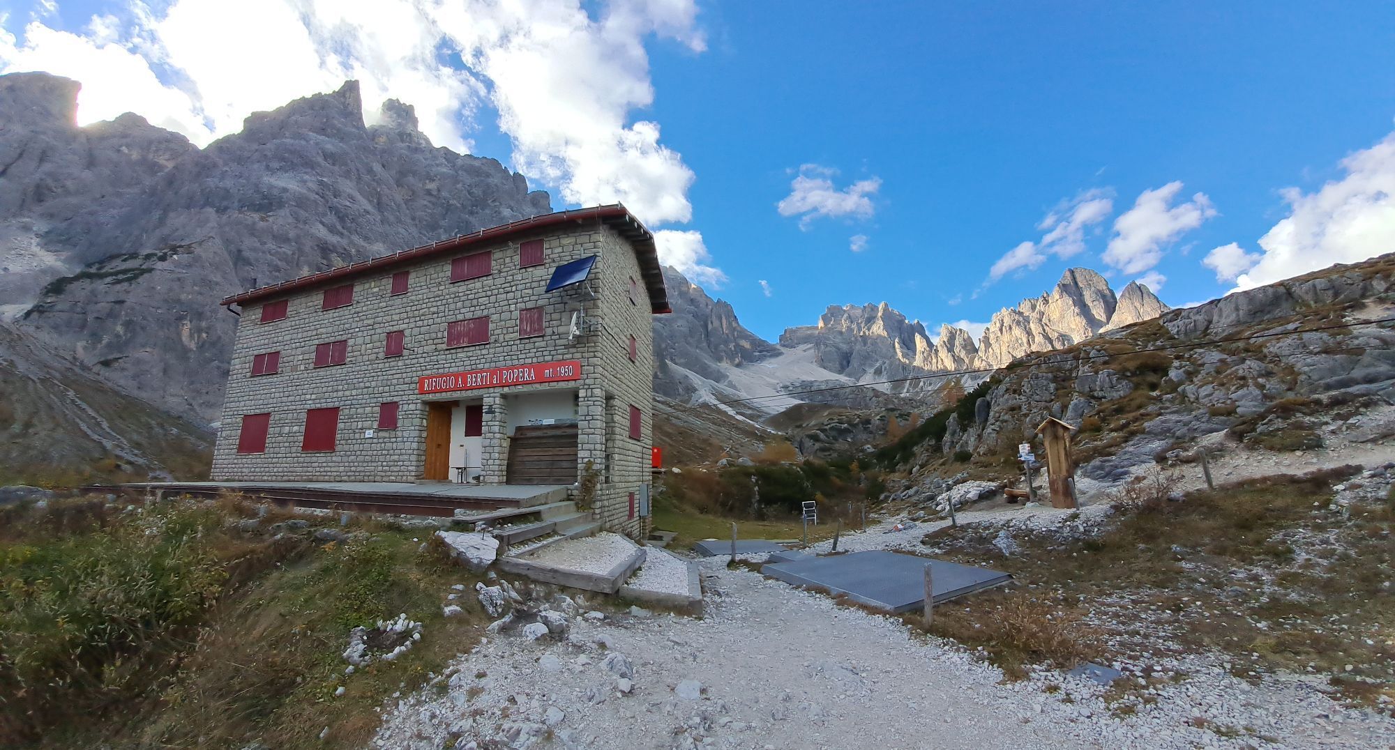
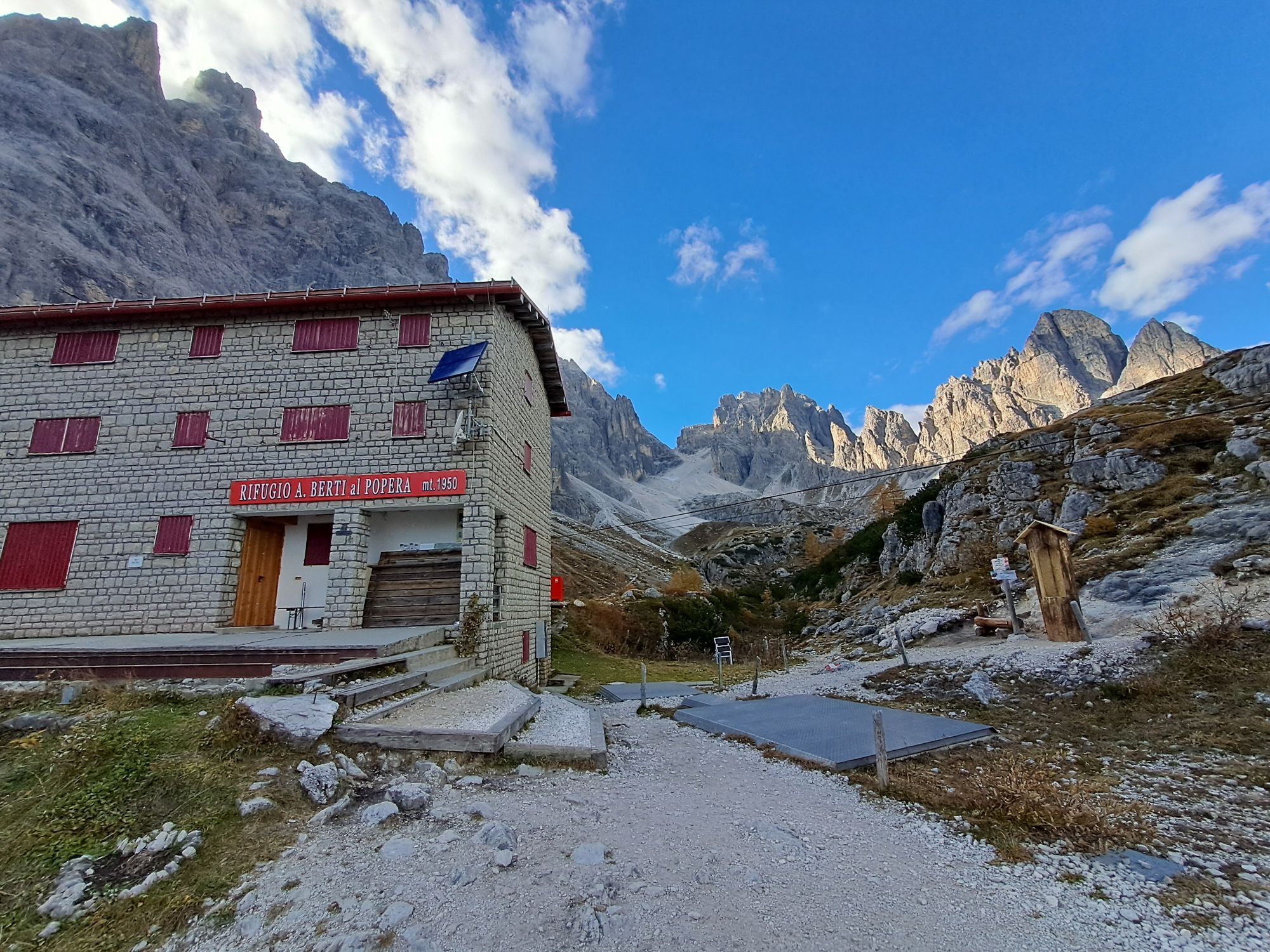
Rifugio Antonio Berti
(1,952 m)
Shelter
8.0 km
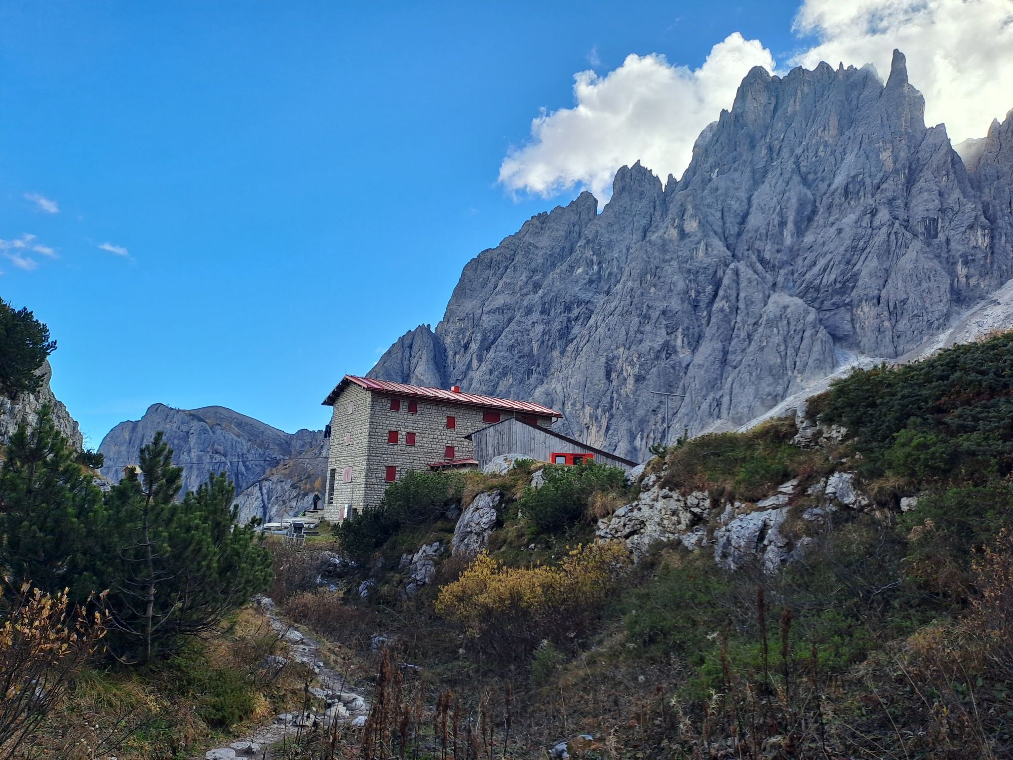
Rifugio Carducci
(2,292 m)
Shelter
14.8 km
Elferscharte - Forcella Undici
(2,595 m)
Mountain saddle
19.7 km
Rudi-Hütte - Rifugio Rudi
(1,914 m)
Restaurant
23.7 km
Route
Dolomiten 101
Via ferrata
23.80
km
Rudi-Hütte - Rifugio Rudi
(1,914 m)
Restaurant
0.0 km
Rifugio Antonio Berti
(1,952 m)
Shelter
8.0 km
Rifugio Carducci
(2,292 m)
Shelter
14.8 km
Elferscharte - Forcella Undici
(2,595 m)
Mountain saddle
19.7 km
Rudi-Hütte - Rifugio Rudi
(1,914 m)
Restaurant
23.7 km
No reviews yet
Webcams of the tour
-
Tempele
-
Toblach
-
Sexten/ Fischleintal
-
Sexten Waldheim
-
Innichen Stifts- und St.Michaelskirche
-
Toblach - Langlaufstadion / Hotel Santer
-
Stiergarten / Drei Zinnen Dolomiten
-
Stiergarten / Drei Zinnen Dolomiten
-
Stiergarten / Drei Zinnen Dolomiten
-
Stiergarten / Drei Zinnen Dolomiten
-
Stiergarten / Drei Zinnen Dolomiten
-
Kreuzbergpass
-
Kreuzbergpass
-
Kreuzbergpass
-
Kreuzbergpass
-
Kabinenbahn Signaue
-
Kabinenbahn Signaue
-
Kabinenbahn Signaue
-
Kabinenbahn Signaue
-
Dolomitenhof
-
Sexten - Chalets Rotwandwiesen
-
Sexten - Chalets Rotwandwiesen
-
Dolomitenhof
-
Rotwand Bergstation
-
Sexten / Berghotel
-
Sexten / Berghotel
Popular tours in the neighbourhood
-
4.9
Drei Zinnen
mediumHiking 19.6 km -
4.9
#31: Paternkofel von Auronzohütte, und Schartenweg, B/C
heavyVia ferrata 15.7 km -
4.7
Fischleintal zu den 3 Zinnen Hütte mit Besteigung des Sextner Steins
mediumHiking 16.2 km -
5.0
Durch das Rienztal zu den drei Zinnen
lightHiking 11.8 km -
4.8
Rundtour Drei Zinnen | Sextner Dolomiten | Wandern Südtirol
mediumHiking 10.1 km -
4.6
Dolomiten Drei Zinnen Rundweg
lightMountain hiking 10.8 km -
4.7
Drei Zinnen Wanderung
mediumHiking 10.1 km -
5.0
Paternkofel_Schartenweg
heavyVia ferrata 20.7 km -
3.9
Rotwandspitze
mediumVia ferrata 10.6 km -
4.8
Rundweg um die drei Zinnen
lightHiking 7 km
Hiking & Tracking

Over 550.000 tour suggestions, detailed maps and an intuitive route planner make the app a must-have for all nature enthusiasts.

Don't miss out on offers and inspiration for your next holiday
Subscribe to the newsletter
Error
An error has occurred. Please try again.
Thank you for your registration
Your e-mail address has been added to the mailing list.
Tours throughout Europe
Austria
Switzerland
Germany
Italy
Slovenia
France
Netherlands
Belgium
Poland
Liechtenstein
Czechia
Slovakia
Spain
Croatia
Bosnia and Herzegovina
Luxembourg
Andorra
Portugal
Iceland
United Kingdom
Ireland
Greece
Albania
North Macedonia
Malta
Norway
Montenegro
Moldova
Kosovo
Hungary
San Marino
Romania
Estonia
Latvia
Belarus
Cyprus
Lithuania
Serbia
Bulgaria
Monaco
Denmark
Sweden
Finland