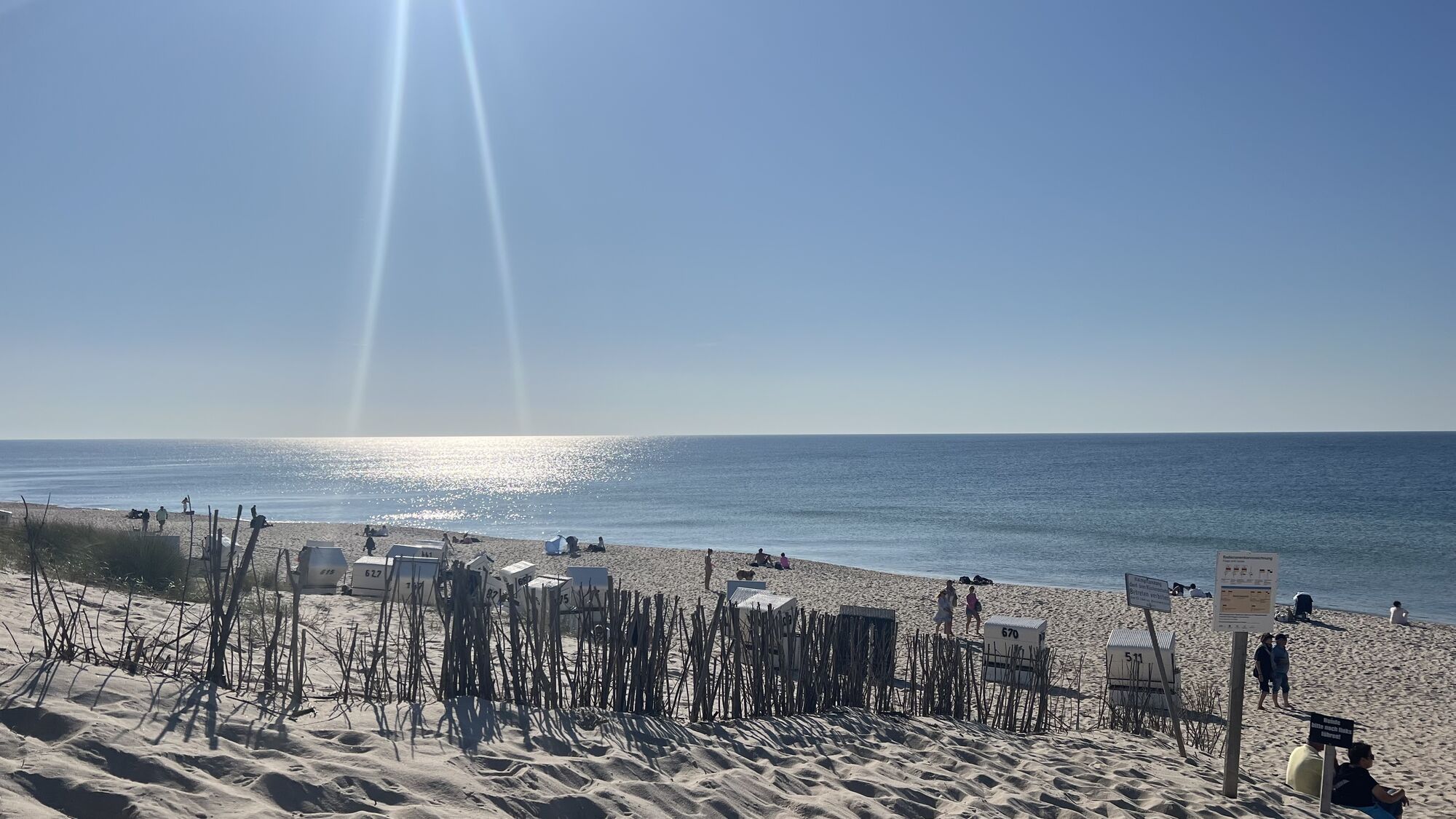
220530_Westerland nach Hörnum
Mountainbike
Navigate
Navigate
Get this tour on your mobile
220530_Westerland nach Hörnum
Mountainbike
41.56
km
Scan the QR code and start navigation in the bergfex app

Hiking & Tracking


Distance
41.56
km
Duration
03:03
h
Ascent
112
m
Sea level
-2 -
17
m
Track download
220530_Westerland nach Hörnum
Mountainbike
41.56
km


Route
Westerland
(5 m)
City
1.6 km
Der Pate
(4 m)
Restaurant
7.9 km
Rantum
(9 m)
Village
9.2 km
Tiroler Stuben
(6 m)
Restaurant
18.3 km
Hörnum (Sylt)
(4 m)
Village
19.6 km
Rantum
(9 m)
Village
33.3 km
Westerland
(5 m)
City
40.3 km
Route
220530_Westerland nach Hörnum
Mountainbike
41.56
km
Westerland
(5 m)
City
1.6 km
Die Osteria S52 Seaside
(6 m)
Restaurant
3.6 km
Der Pate
(4 m)
Restaurant
7.9 km
Rantum
(9 m)
Village
9.2 km
Tiroler Stuben
(6 m)
Restaurant
18.3 km
Hörnum (Sylt)
(4 m)
Village
19.6 km
Rantum
(9 m)
Village
33.3 km
Der Pate
(4 m)
Restaurant
34.6 km
Westerland
(5 m)
City
40.3 km

Last tracked
4 weeks ago
No reviews yet
Popular tours in the neighbourhood
Wattwanderung Dunsum/Föhr nach Norddorf/Amrum
mediumHiking11.6 kmMegamarsch Sylt 2023
heavyHiking100.1 kmMegamarsch Sylt 2022
heavyHiking100.1 kmKeitum-Tour mit Matschweg
lightWalking7.38 kmWesterland - Tinnum - Sankt Thomas - Sankt Nicolai
lightCycling59.4 km- 4.5
Wenningstedt-Braderup (Sylt) - Onkel Johnny's Strandwirtschaft - Uwe-Düne - Kampen (Sylt)
mediumHiking5.05 km 220531_Sylt Rund
Mountainbike86.6 km- 5.0
Westerland - Uwe-Düne - Onkel Johnny's Strandwirtschaft - Wenningstedt
mediumHiking13.4 km - 4.0
Westerland - Wenningstedt - Sankt Raphael
mediumCycling45.5 km Kampen (Sylt) - Uwe-Düne - Onkel Johnny's Strandwirtschaft
mediumHiking11.0 km
Hiking & Tracking

Over 550.000 tour suggestions, detailed maps and an intuitive route planner make the app a must-have for all nature enthusiasts.

Don't miss out on offers and inspiration for your next holiday
Subscribe to the newsletter
Error
An error has occurred. Please try again.Thank you for your registration
Your e-mail address has been added to the mailing list.
Tours throughout Europe
Austria Switzerland Germany Italy Slovenia France Netherlands Belgium Poland Liechtenstein Czechia Slovakia Spain Croatia Bosnia and Herzegovina Luxembourg Andorra Portugal Iceland United Kingdom Ireland Greece Albania North Macedonia Malta Norway Montenegro Moldova Kosovo Hungary San Marino Romania Estonia Latvia Belarus Cyprus Lithuania Serbia Bulgaria Monaco Denmark Sweden Finland