


Level of difficulty: 2


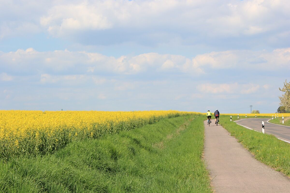
The Elbe Cycle Route is the most popular one in Germany. And you can get there from Leipzig too, on the Leipzig-Elbe track that is a bit of an insider tip and can easily keep up with its ‘big brother’....
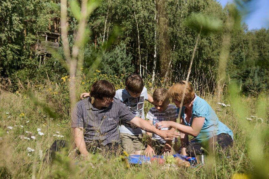
The Elbe Cycle Route is the most popular one in Germany. And you can get there from Leipzig too, on the Leipzig-Elbe track that is a bit of an insider tip and can easily keep up with its ‘big brother’. Along the route, pretty villages alternate with the idyllic countryside. Meadows, forests, ponds and river wetlands dominate the scenery. Some further highlights are the landscape park of Machern Palace that was designed in 1782, numerous Saxon village churches and the old town of Wurzen, featuring mills whose towers can be seen from afar. Overall, the region is full of mills and also offers many opportunities to take a dip in natural ponds and lakes.

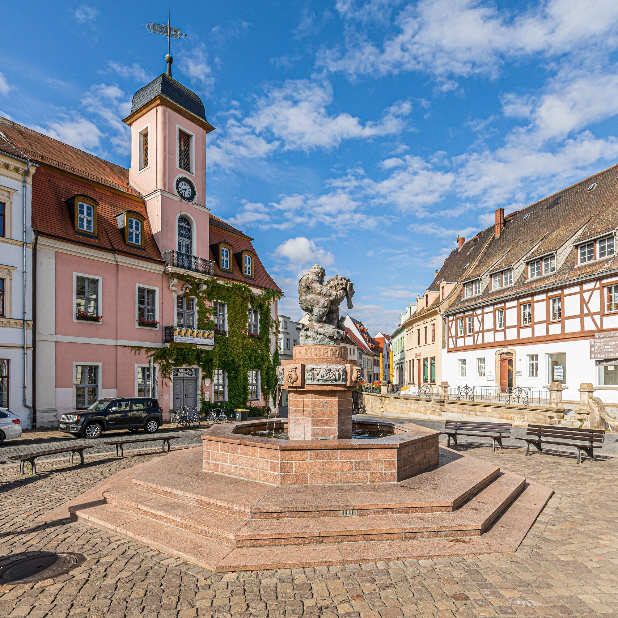

The starting point of the bike route is in Leipzig. The route continues in the direction of Brandis, where the Grüner Ring Leipzig and the Parthe-Mulde cycle route are crossed. Via Machern, the cycle route leads to Wurzen. In Wurzen, there is a connection to the Mulderadweg between Grimma and Muldenstein. The route continues via Lossatal and Dahlen to Schirmenitz. On the way, the Dahlener-Heide cycle route crosses the Leipzig-Elbe cycle route in Schildau.
Route condition: asphalt surface / road / gravel
Yes
Pack enough drinks!
Don't forget sunscreen!
Please make sure you have good lighting on your bike.
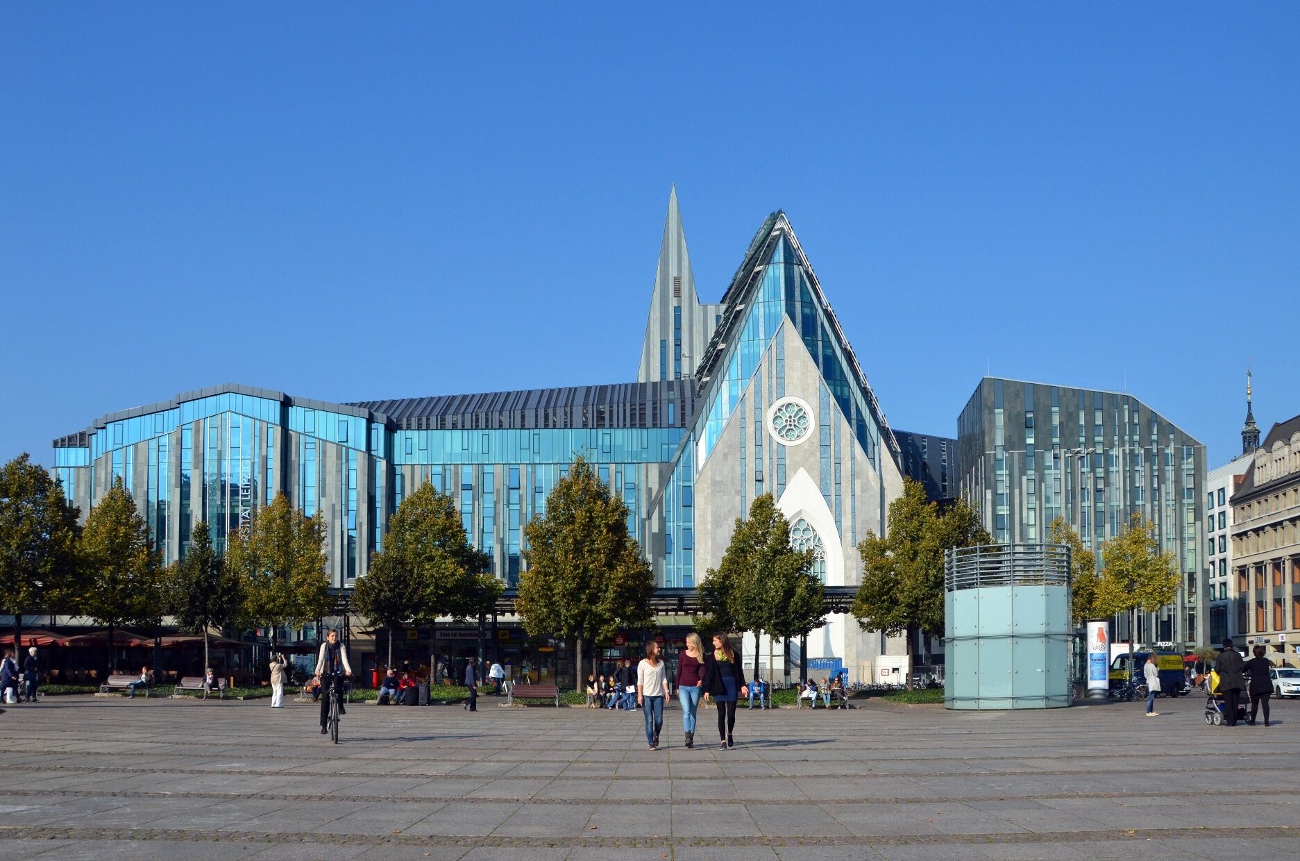
Leipzig:
From Berlin via the A9 and the A14, exit Leipzig-Mitte
From Dresden via the A14, exit Leipzig-Ost
From Munich and Erfurt via the A38, exit Leipzig-Südwest
Leipzig: Leipzig Central Station: Train and S-Bahn
Wurzen: S-Bahn station
Leipzig: Augustusplatz
Wurzen: Train station
2
Leipzig Tourismus und Marketing GmbH
Augustusplatz 9
04109 Leipzig
Telefon: +49 (0)341 7104260
Mail: region.leipzig@ltm-leipzig.de
Internet: www.leipzig.region.travel
The cycling route leads past the Kirchbruch Beucha, which provided the basic material for the Monument to the Battle of the Nations in Leipzig.
By the way, a clear heart shape can be seen from a bird's eye view.
Popular tours in the neighbourhood
7 Steinbrüche Tour
lightHiking21,5 kmMulderadweg - Section Sermuth to Wurzen (United Mulde)
lightLong distance cycling30,3 kmFrom Grimma to Wurzen - the Castle Route on the Mulde Cycle Path
mediumCycling28,8 kmGeoroute Kleiner Berg Hohburg
mediumThematic route4,75 kmGeoroute Wachtelberg-Mühlbachtal
Thematic route3,87 kmFrom Wurzen to Eilenburg - In the footsteps of Ringelnatz and historic parks along the Mulde cycle path
lightCycling23,3 km- 5,0
Teich- und Waldwanderung in Wemsdorf
mediumHiking15,0 km Wurzener Land cycling route
mediumCycling84,1 kmMulderadweg - section Wurzen to Eilenburg (Vereinigte Mulde)
lightLong distance cycling17,8 kmLuther Trail Saxony from Trebsen to Grimma
lightPilgrimage13,1 km
Hiking & Tracking


Don't miss out on offers and inspiration for your next holiday
Your e-mail address has been added to the mailing list.