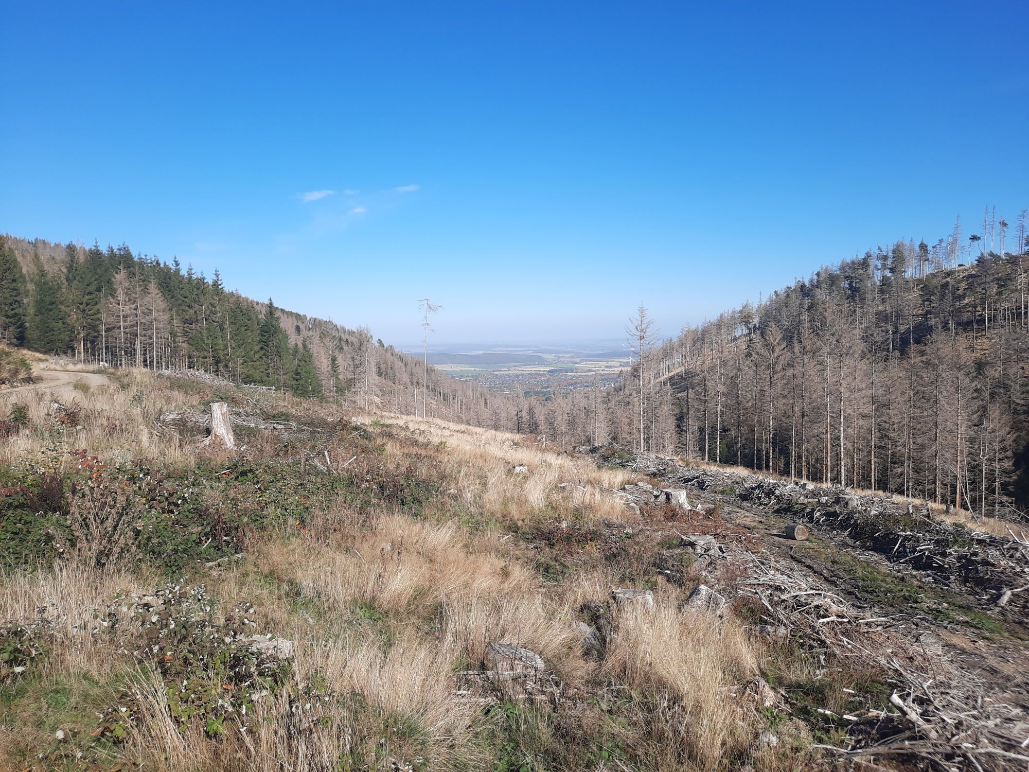
Eckerkrug - Hohestieg - Riesenbachskopf - Harz (LK Goslar)
heavy
Navigate
Navigate
Get this tour on your mobile
Eckerkrug - Hohestieg - Riesenbachskopf - Harz (LK Goslar)
heavy
Mountainbike
33,67
km
Scan the QR code and start navigation in the bergfex app

Hiking & Tracking


Distance
33,67
km
Duration
03:03
h
Ascent
653
m
Sea level
215 -
757
m
Track download
Eckerkrug - Hohestieg - Riesenbachskopf - Harz (LK Goslar)
heavy
Mountainbike
33,67
km


Route
Eckerkrug
(263 m)
Corridor/terrain
0,0 km
Bugenhagen-Kapelle
(314 m)
Place of worship
7,2 km
Silberborn
(326 m)
Neighbourhood
12,7 km
Silberborn
(353 m)
Source
13,0 km
Oker
(215 m)
Village
19,3 km
Goslar
(255 m)
City
22,1 km
Riesenbachskopf
(700 m)
Summit
31,8 km
Route
Eckerkrug - Hohestieg - Riesenbachskopf - Harz (LK Goslar)
heavy
Mountainbike
33,67
km
Eckerkrug
(263 m)
Corridor/terrain
0,0 km
Wüstung Wanlefsrode
(330 m)
Corridor/terrain
1,9 km
Sophienhöhe
(333 m)
Neighbourhood
4,5 km
Bugenhagen-Kapelle
(314 m)
Place of worship
7,2 km
Krodotal
(293 m)
Neighbourhood
8,3 km
Bad Harzburg
(261 m)
City
8,5 km
Elfenecke
(325 m)
Neighbourhood
11,5 km
Silberborn
(326 m)
Neighbourhood
12,7 km
Silberborn
(353 m)
Source
13,0 km
Bossequelle
(333 m)
Source
16,2 km
Oberoker
(211 m)
Neighbourhood
19,2 km
Oker
(215 m)
Village
19,3 km
Goslar
(255 m)
City
22,1 km
Blauer Haufen
(382 m)
Viewpoint
24,4 km
Hohestieg
(677 m)
Summit
30,8 km
Riesenbachskopf
(700 m)
Summit
31,8 km
No reviews yet
Popular tours in the neighbourhood
- 4,8
Ilsenburg - Brocken - Ilsenburg
mediumHiking23,0 km - 4,6
Trail Brocken über Ecklochstieg Schierke
heavyHiking12,9 km - 5,0
Wernigerode, Deutschland
mediumHiking15,5 km - 4,6
durchs Ilsetal zur Plessenburg
mediumHiking13,7 km - 4,5
Schierke - Brocken und zurück
mediumHiking15,3 km - 3,8
vom Oderteich zur Achtermannshöhe
mediumHiking11,3 km - 4,5
Schierke / Brocken / Schierke
heavyHiking15,2 km - 4,0
Brockentour
lightHiking18,8 km von Romkerhall zum Kästehaus
mediumHiking8,93 km- 4,5
„Erst die Arbeit, dann das Vergnügen.“
mediumHiking15,0 km
Hiking & Tracking

Over 550.000 tour suggestions, detailed maps and an intuitive route planner make the app a must-have for all nature enthusiasts.

Don't miss out on offers and inspiration for your next holiday
Subscribe to the newsletter
Error
An error has occurred. Please try again.Thank you for your registration
Your e-mail address has been added to the mailing list.
Tours throughout Europe
Austria Switzerland Germany Italy Slovenia France Netherlands Belgium Poland Liechtenstein Czechia Slovakia Spain Croatia Bosnia and Herzegovina Luxembourg Andorra Portugal Iceland United Kingdom Ireland Greece Albania North Macedonia Malta Norway Montenegro Moldova Kosovo Hungary San Marino Romania Estonia Latvia Belarus Cyprus Lithuania Serbia Bulgaria Monaco Denmark Sweden Finland