


Level of difficulty: 2


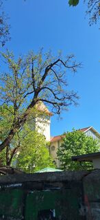
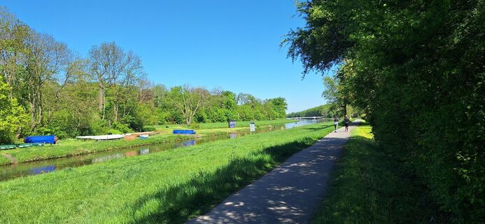
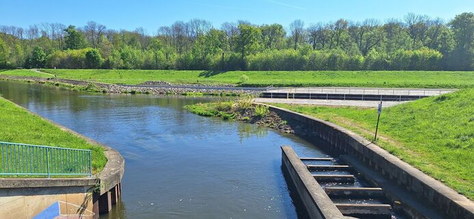
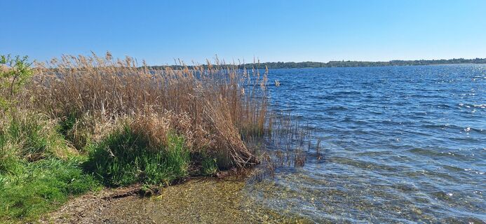
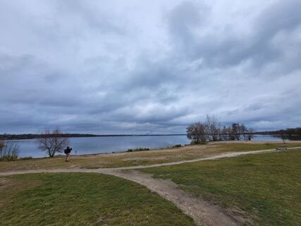
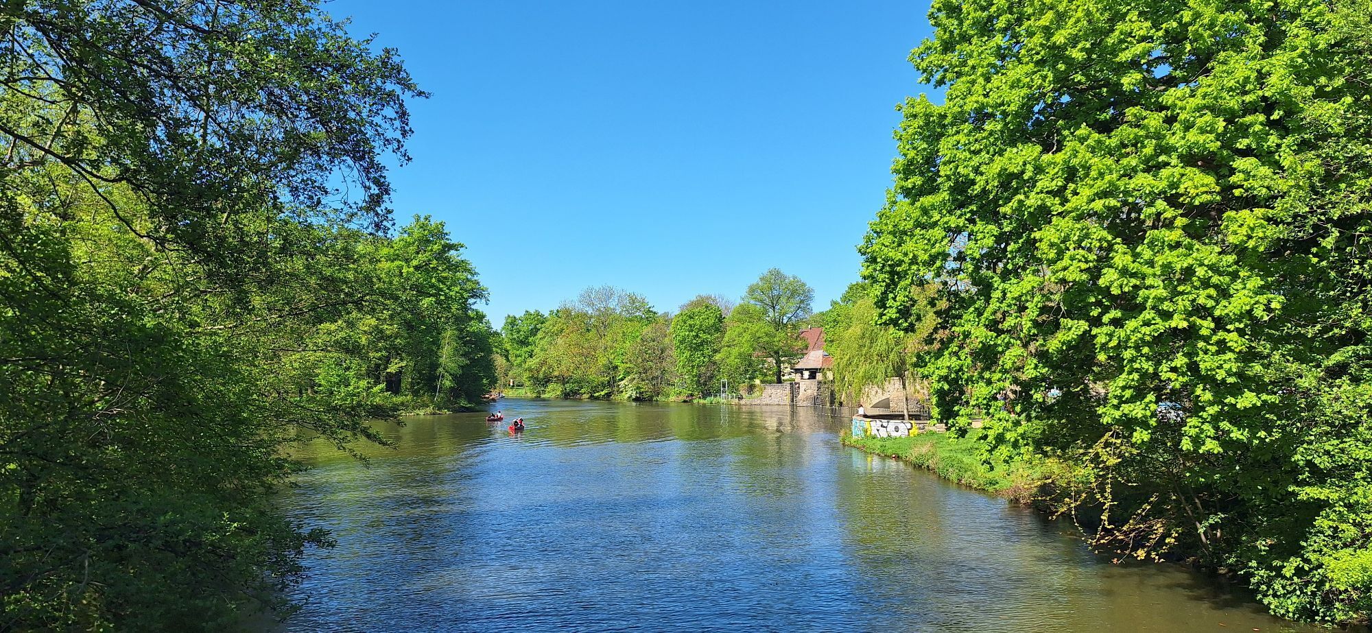
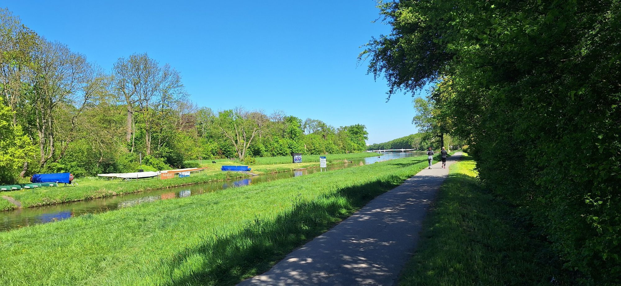
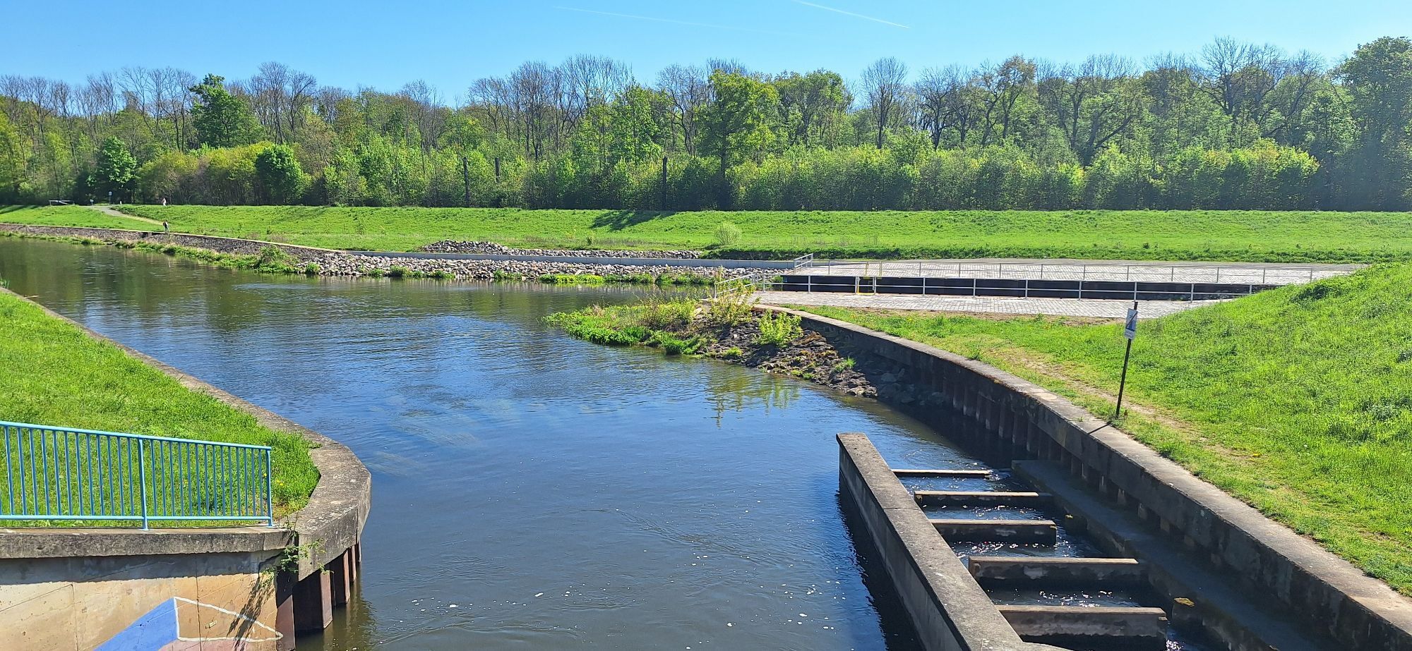
Photos from our users
-
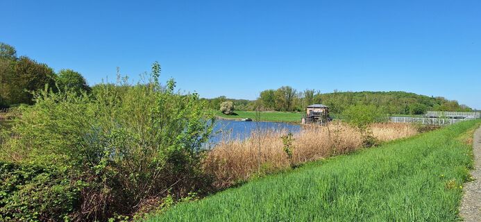
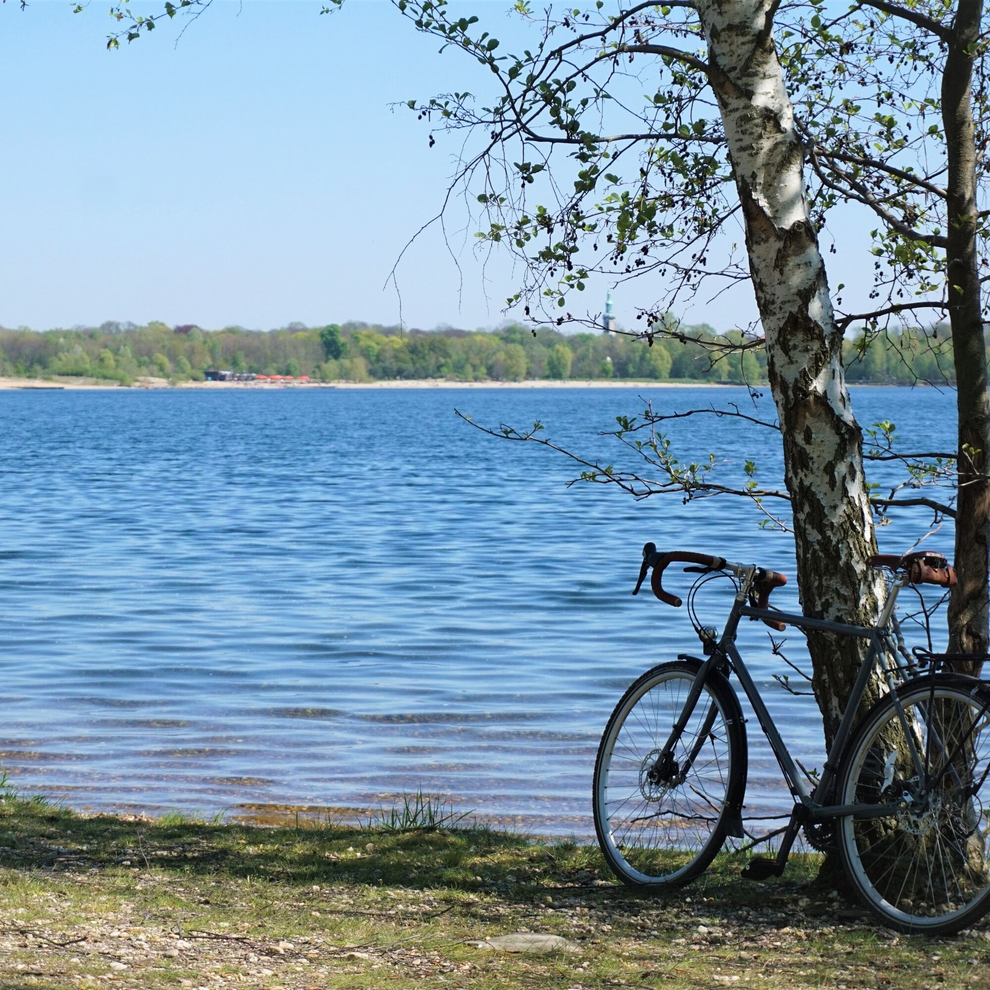
 © Hallunke FrankCreated on 27.04.2025
 -
 © Hallunke FrankCreated on 27.04.2025
 -
 © Hallunke FrankCreated on 27.04.2025
 -
 © Hallunke FrankCreated on 27.04.2025
 -
 © Hallunke FrankCreated on 27.04.2025
 -
 © Hallunke FrankCreated on 27.04.2025
 -
 © Hallunke FrankCreated on 27.04.2025
 -
 © Hallunke FrankCreated on 27.04.2025
 -
 © Hallunke FrankCreated on 27.04.2025
 -
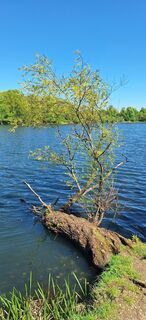
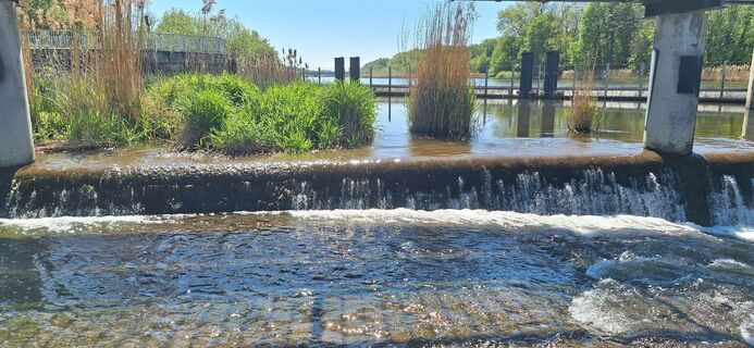
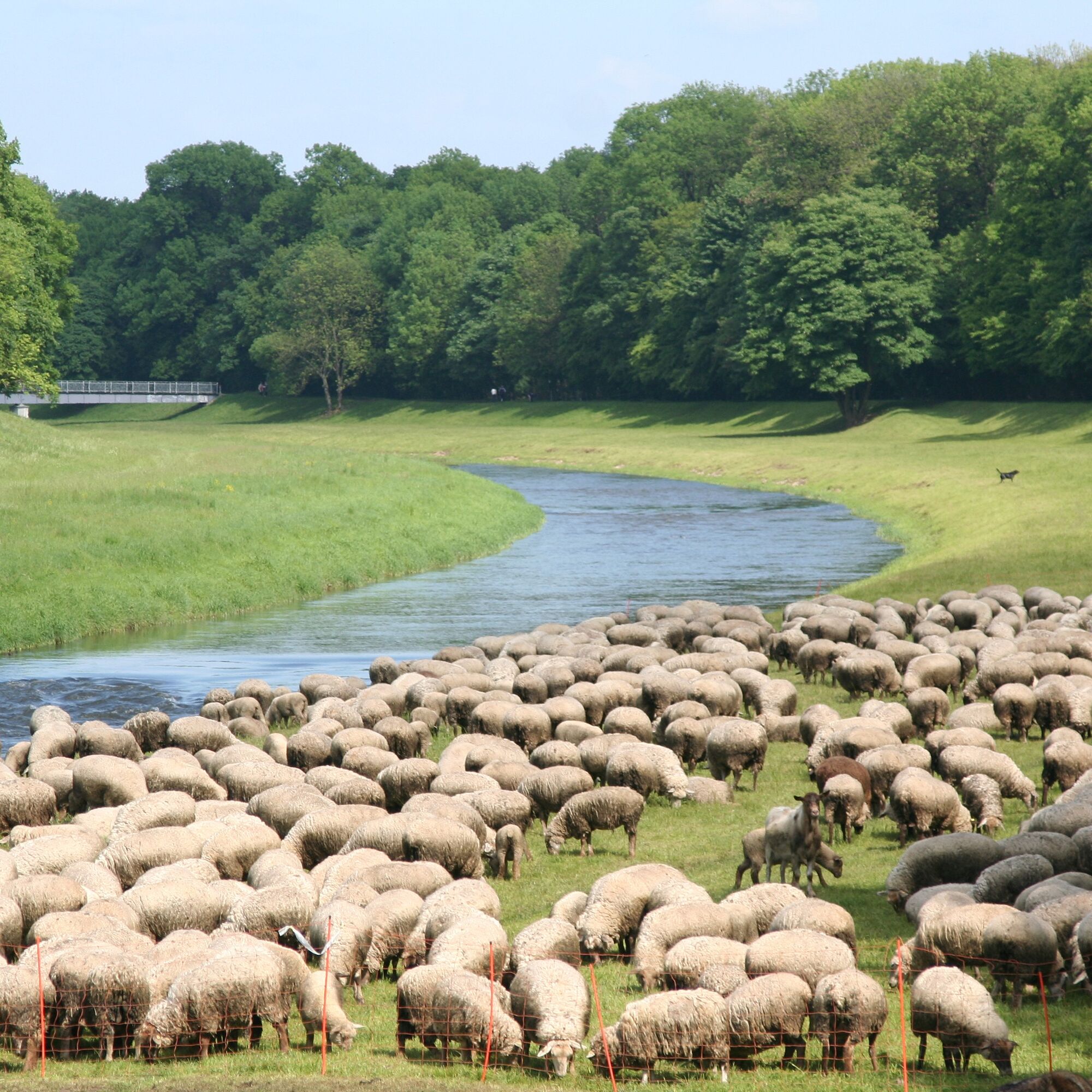
 © ToniMahoniCreated on 01.03.2025


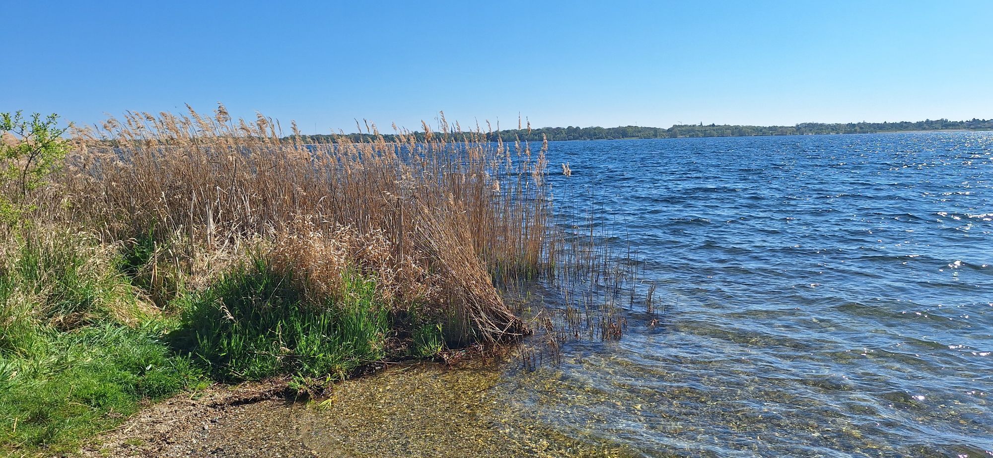
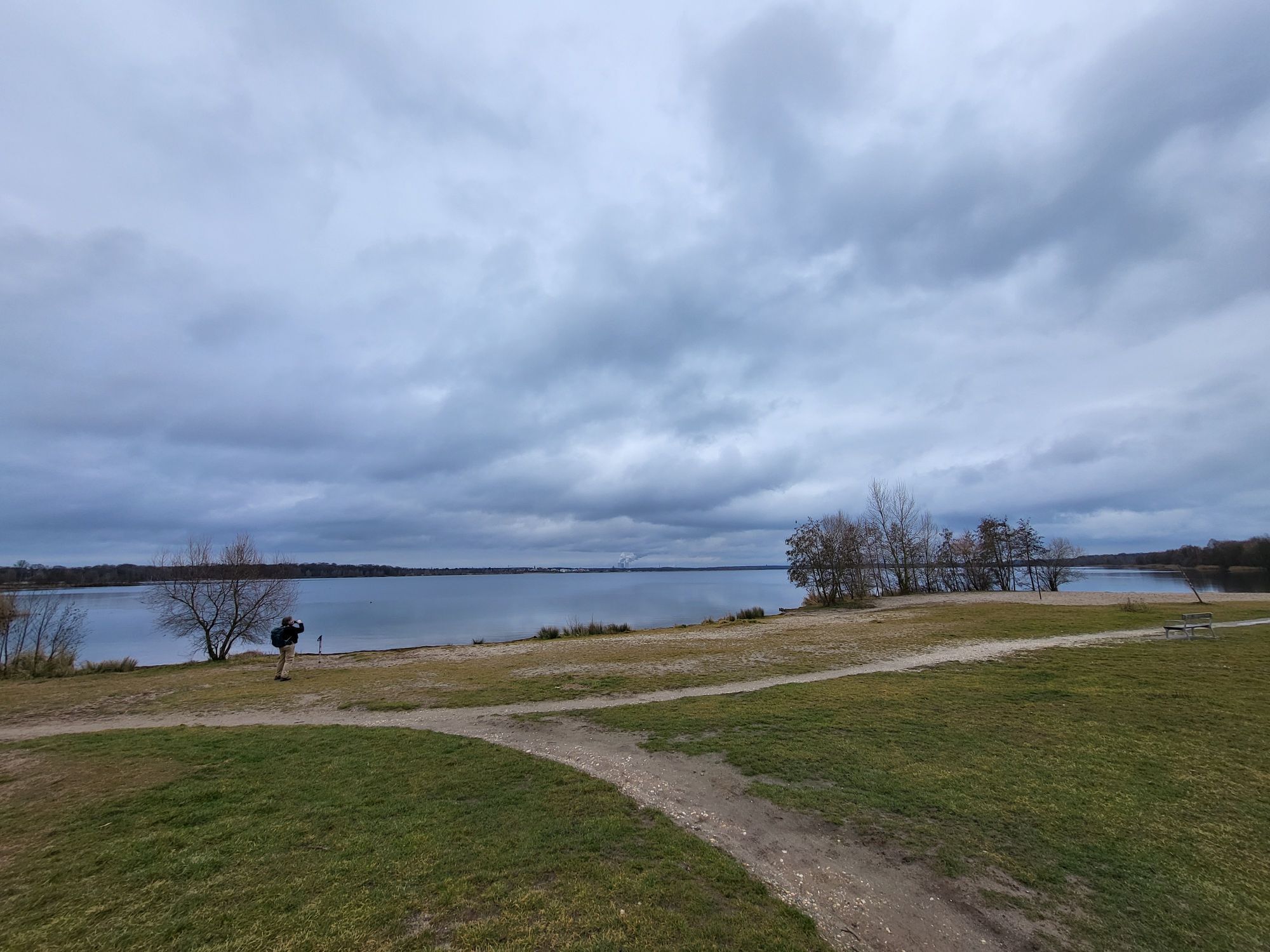
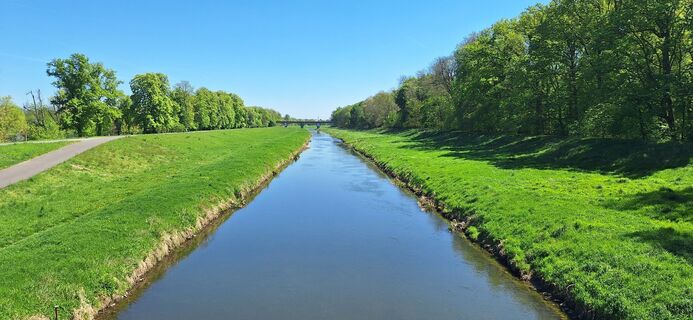
The cycling path, which follows the course of the Weiße Elster River, is characterized by a variety of trail conditions. The flat relief makes it suitable for a trip with the whole family.

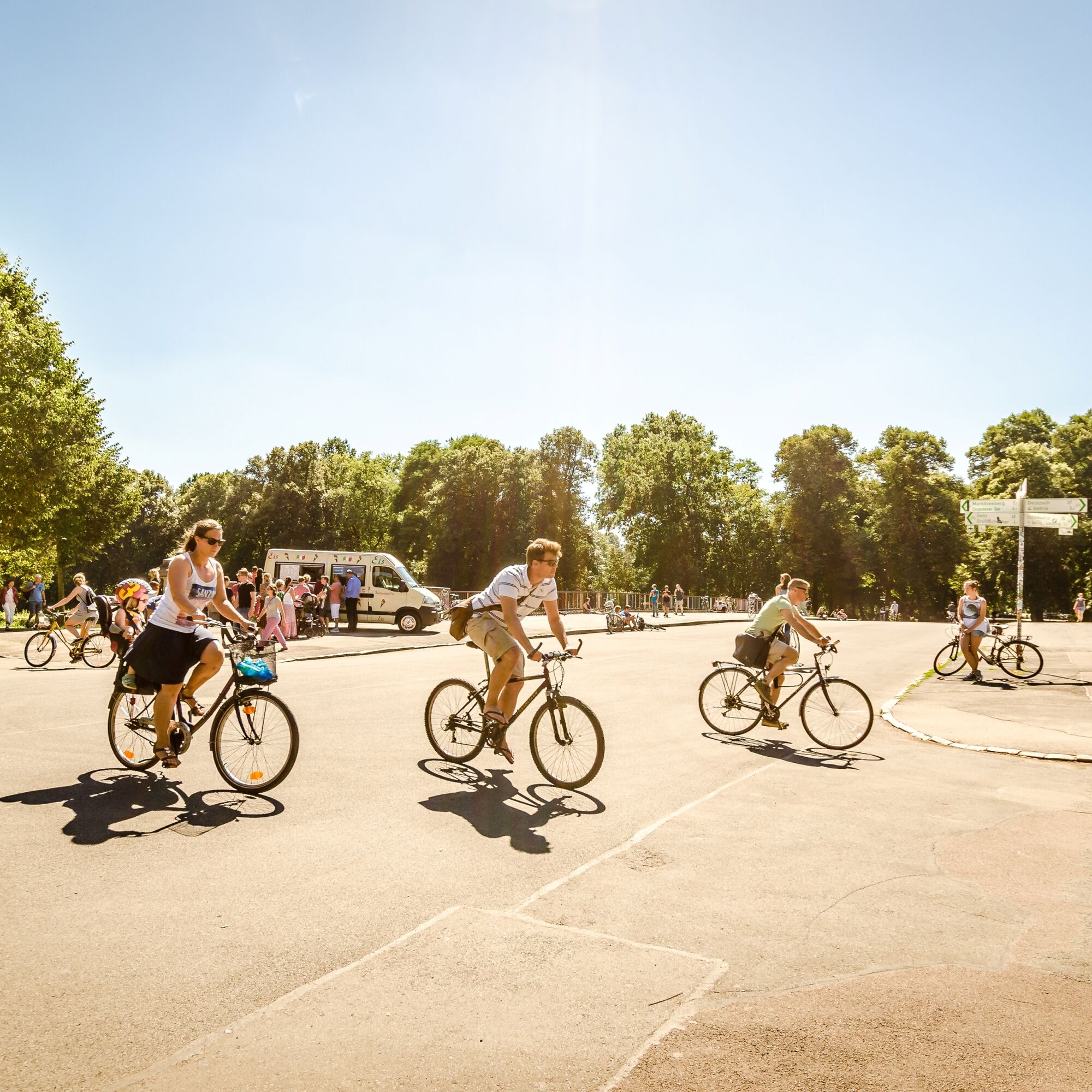
The Elsterradweg begins in Pegau. Along the Weiße Elster River, you cycle via Groitzsch past Zwenkau and Lake Zwenkau. At Markkleeberg, you pass Lake Cospuden and continue your route via Leipzig to Schkeuditz. The approx. 50-kilometer-long cycle path is characterized by varied terrain.
Trail conditions: 77% gravel road or path, 23% asphalt surface
Bicycle helmet, rain and sun protection, provisions and water, bicycle lights in the dark.
By car: Follow the B2 to Leipziger Vorstadt in Pegau
Pegau: Pegau train station: train
Schkeuditz: train station Schkeuditz: S-Bahn
Pegau: Town hall or train station
Schkeuditz: Market square or town hall square
2
‘Elsterradweg’ from Pegau to Schkeuditz on leipzig.region.travel
Connection options:
in Leipzig: from the main railway station to the Elster cycle path in Leipzig: Coal | Steam | Light cycle route, Parthe-Mulde cycle route & Pleißer cycle route in Pegau and at the Bistumshöhe on Lake Cospuden: Neuseenland cycle route in Kleindalzig (Zwenkau) and in Schkeuditz: Leipzig Green Ring
www.leipzig.travel/radfahren
Service stations:
E-bike charging stations:
Pegau: St. Laurentius Church Zwenkau: Cape Zwenkau (Hafenstraße) Markleeberg: "Zum Flotten Radler" on Lake Cospuden Leipzig: Cafe Alma, Leipzig Zoo, Auensee lake Schkeuditz: Town hall square
Bike service stations:
Schkeuditz: Town hall square Leipzig: Sommercafe, Cafe Alma Markleeberg: Hafenstraße Pegau: Schützenplatz, Wachenheimer Straße
Popular tours in the neighbourhood
-
5.0
Lake circular path at Cospudener See
lightHiking 11.1 km -
Round trip Leipzig city center to Lake Cospuden
lightCycling 28.4 km -
5.0
Lake circuit path at Kulkwitzer See
mediumHiking 7.17 km -
5.0
Rundweg um den Störmthaler See
lightHiking 21.5 km -
“Neuseenland” Cycle Route
heavyCycling 95.4 km -
Luther Trail Saxony from Neukieritzsch to Leipzig
mediumPilgrimage 30.5 km -
Coal I Steam I Light cycle route
mediumCycling 94.3 km -
Green Ring Leipzig
heavyCycling 133.6 km -
Seerunde
lightHiking 9.32 km -
Lake Störmthaler circular trail
mediumHiking 23.9 km
Hiking & Tracking


Don't miss out on offers and inspiration for your next holiday
Your e-mail address has been added to the mailing list.