


Photos from our users
-
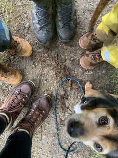
 © Romeo JuliettCreated on 03.03.2025
 -
 © Romeo JuliettCreated on 03.03.2025
 -
 © Romeo JuliettCreated on 03.03.2025
 -
 © Romeo JuliettCreated on 03.03.2025
 -
 © Romeo JuliettCreated on 03.03.2025
 -
 © Romeo JuliettCreated on 03.03.2025
 -
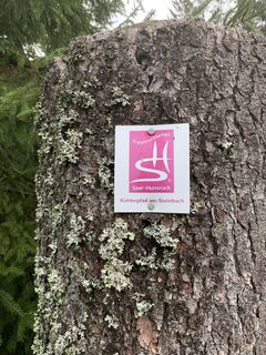
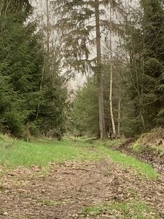
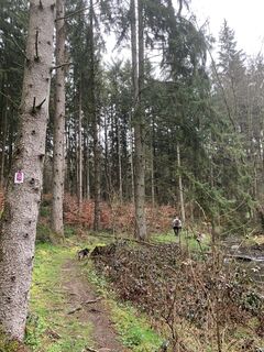
 © vieletausendkilometerCreated on 30.03.2024
 -
 © vieletausendkilometerCreated on 30.03.2024
 -
 © vieletausendkilometerCreated on 30.03.2024
 -
 © vieletausendkilometerCreated on 30.03.2024
 -
 © vieletausendkilometerCreated on 30.03.2024
 -
 © vieletausendkilometerCreated on 30.03.2024
 -
 © vieletausendkilometerCreated on 30.03.2024
 -
 © vieletausendkilometerCreated on 30.03.2024
 -
 © vieletausendkilometerCreated on 30.03.2024
 -
 © vieletausendkilometerCreated on 30.03.2024
 -
 © vieletausendkilometerCreated on 30.03.2024
 -
 © vieletausendkilometerCreated on 30.03.2024
 -
 © vieletausendkilometerCreated on 30.03.2024
 -
 © vieletausendkilometerCreated on 30.03.2024
 -
 © vieletausendkilometerCreated on 30.03.2024
 -
 © vieletausendkilometerCreated on 30.03.2024
 -
 © vieletausendkilometerCreated on 30.03.2024
 -
 © vieletausendkilometerCreated on 30.03.2024
 -
 © vieletausendkilometerCreated on 30.03.2024
 -
 © vieletausendkilometerCreated on 30.03.2024
 -
 © vieletausendkilometerCreated on 30.03.2024
 -
 © vieletausendkilometerCreated on 30.03.2024
 -
 © vieletausendkilometerCreated on 30.03.2024
 -
 © vieletausendkilometerCreated on 30.03.2024
 -
 © vieletausendkilometerCreated on 30.03.2024
 -
 © vieletausendkilometerCreated on 30.03.2024
 -
 © vieletausendkilometerCreated on 30.03.2024
 -
 © vieletausendkilometerCreated on 30.03.2024
 -
 © vieletausendkilometerCreated on 30.03.2024
 -
 © vieletausendkilometerCreated on 30.03.2024
 -
 © vieletausendkilometerCreated on 30.03.2024
 -
 © vieletausendkilometerCreated on 30.03.2024
 -
 © vieletausendkilometerCreated on 30.03.2024
 -
 © vieletausendkilometerCreated on 30.03.2024
 -
 © vieletausendkilometerCreated on 30.03.2024
 -
 © vieletausendkilometerCreated on 30.03.2024
 -
 © vieletausendkilometerCreated on 30.03.2024
 -
 © vieletausendkilometerCreated on 30.03.2024
 -
 © vieletausendkilometerCreated on 30.03.2024
 -
 © vieletausendkilometerCreated on 30.03.2024


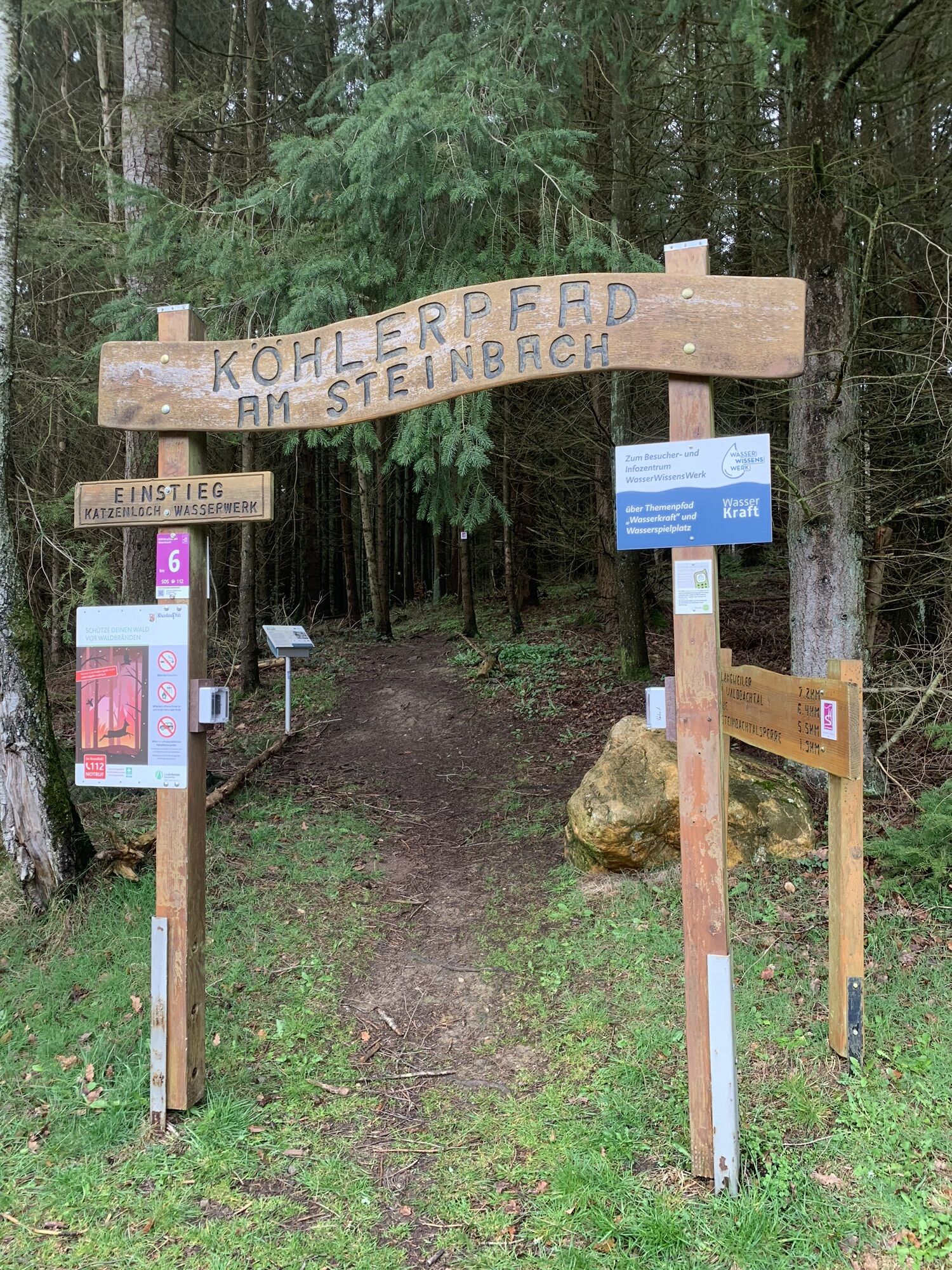


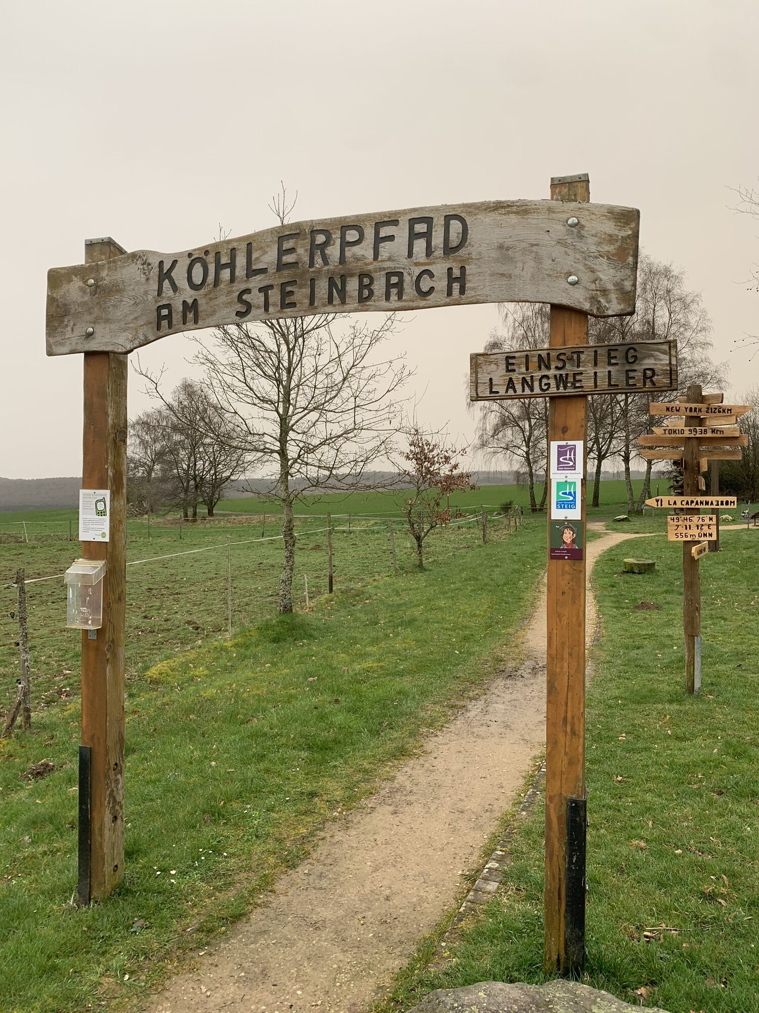


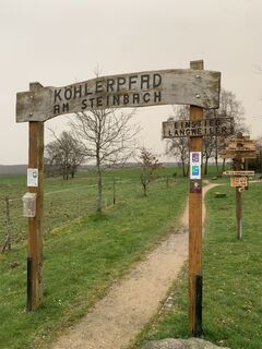
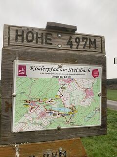
Langweiler formerly belonged to the settlements in the Hunsrück that lived from charcoal production. Not far from the starting point, information boards illustrate the life of the charcoal burners.
At...
Langweiler formerly belonged to the settlements in the Hunsrück that lived from charcoal production. Not far from the starting point, information boards illustrate the life of the charcoal burners.
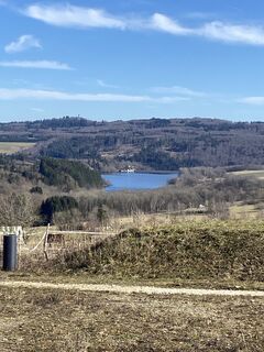
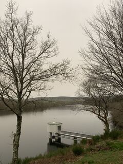
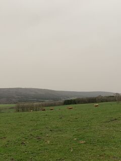
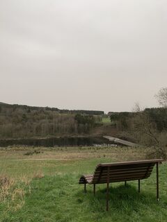
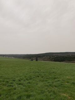
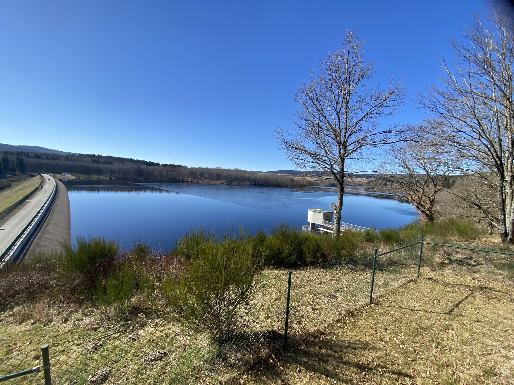
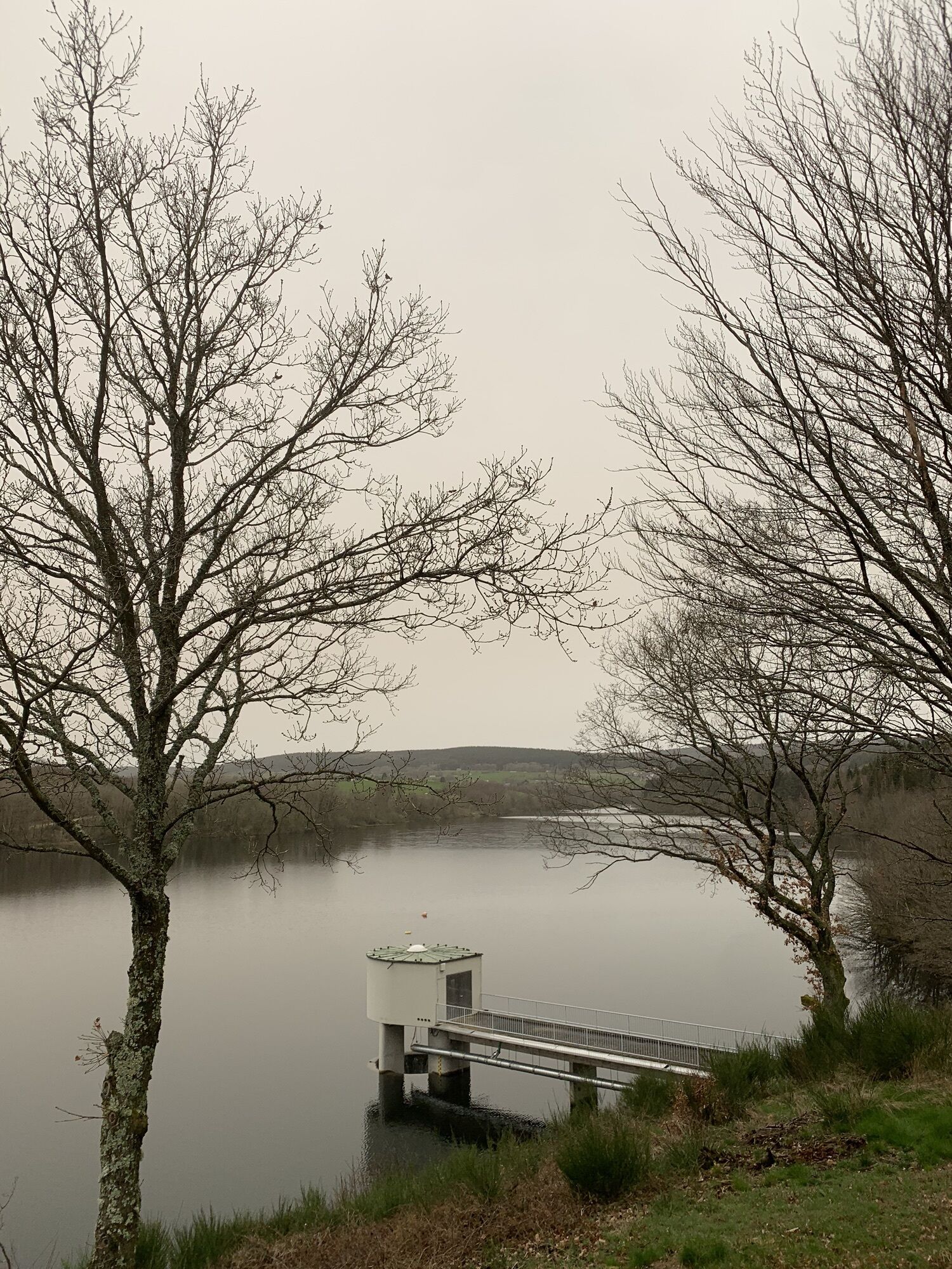
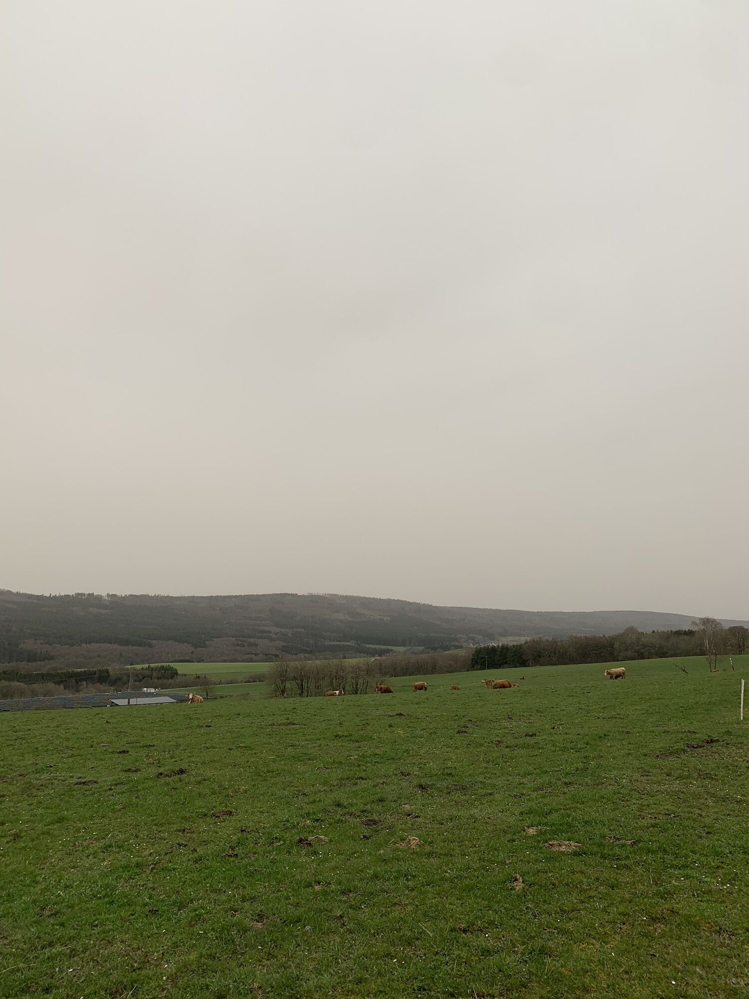
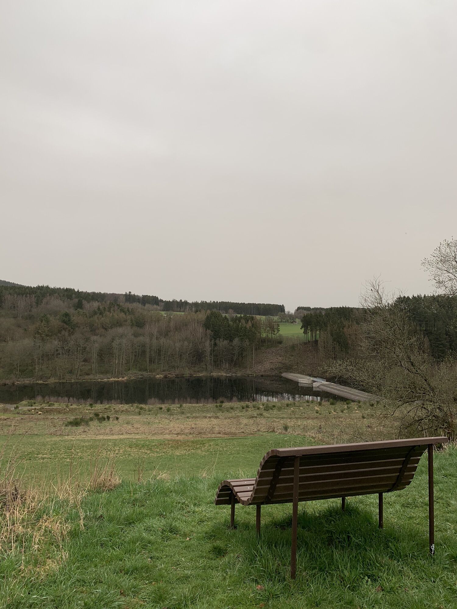
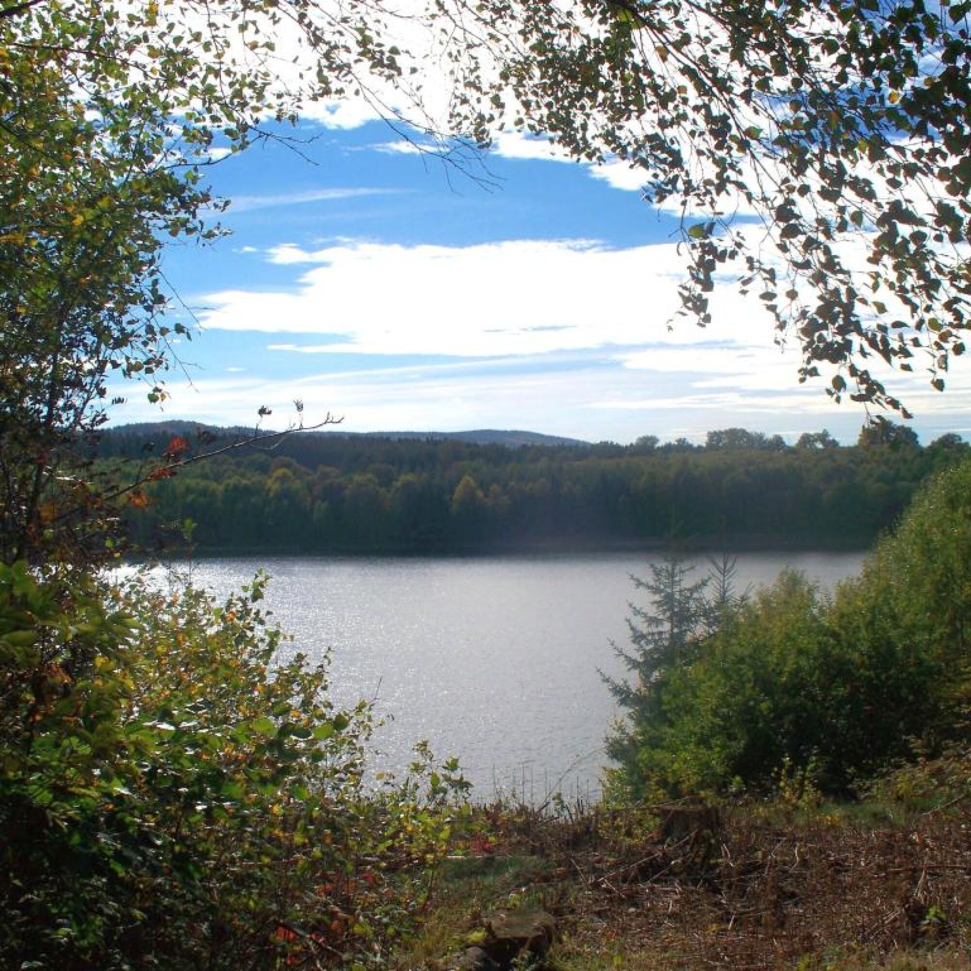
At the starting point, an extraordinary view of the Steinbach dam awaits, the rising Hunsrück heights behind it, as well as the towering observation tower of the Wildenburg. Over meadow paths, one reaches a memorial plaque that recalls the abandoned settlement Croppenhof.
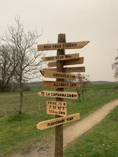
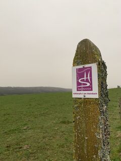
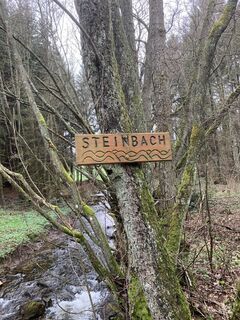
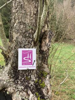
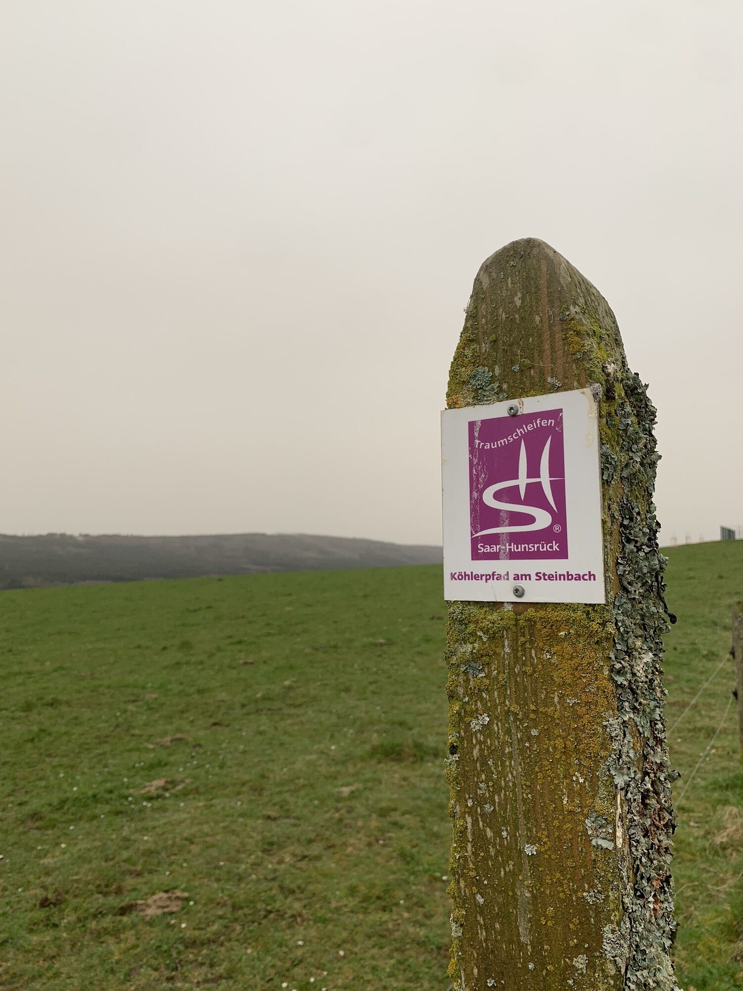
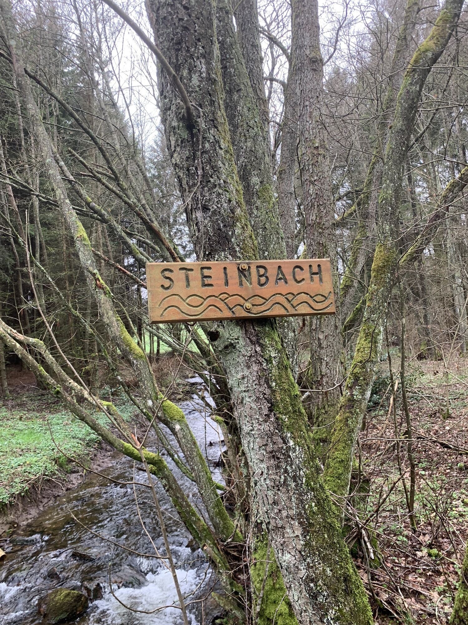
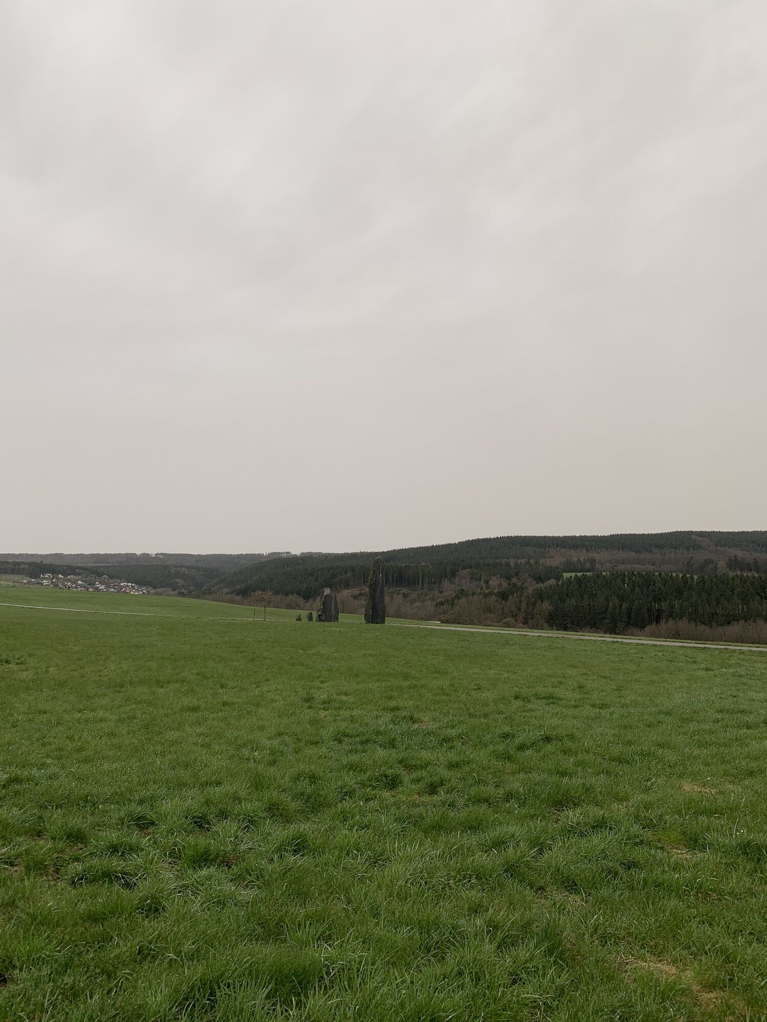
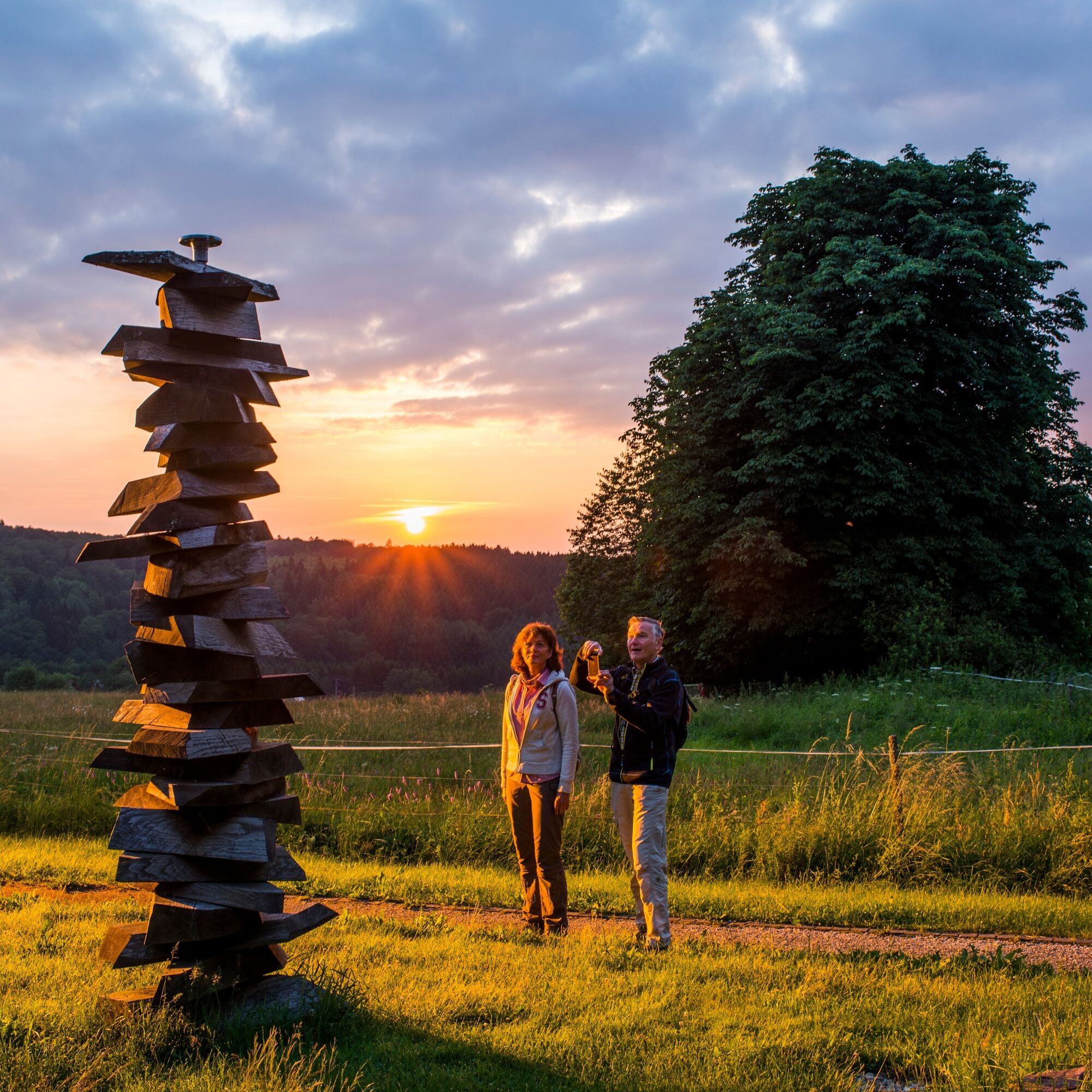
From the former free farm, it is only a few minutes to the Sensweiler viewpoint. At a crossroads, the artist Gerd Edinger created the art installation “Time-Space-Time.” Seven differently sized slate steles, positioned in the shape of a cross, are intended to make the monumental energy of millions of years old slate tangible. Along the Steinbach and in the villages on the way, you can admire many installed path signs made from different materials and in various sizes.

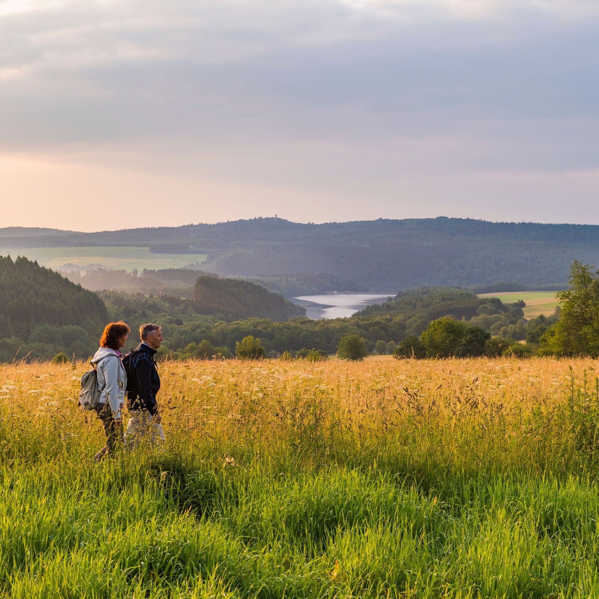
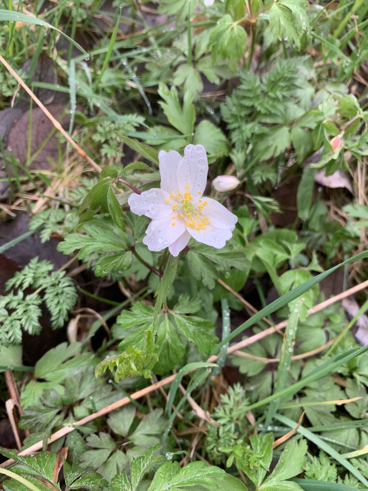
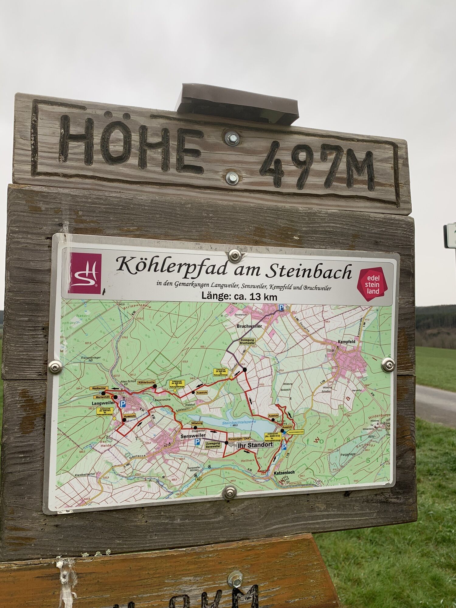
We start our hike at the entrance portal in the charcoal burner village Langweiler, where we can enjoy an impressive view of the Steinbach dam and the Wildenburg. The path initially follows the Saar-Hunsrück-Steig and the "Köhler-Liesels Nature Park Family Route." At the Garden of Biodiversity "Am Häselbure," there is an opportunity to pause and observe the nature on the flowering meadow.
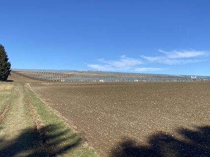
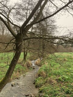
Then we go down over the meadow landscape and cross the K52. Langweiler lies to our left, and to the right is the local community of Sensweiler.
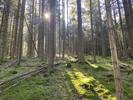
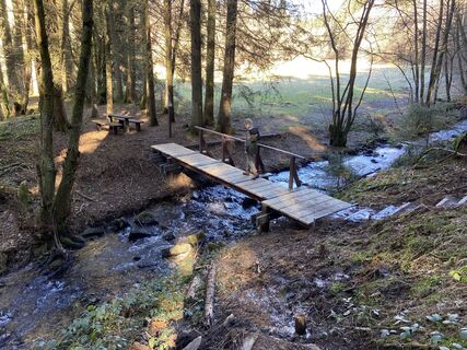
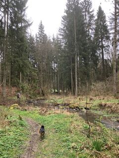
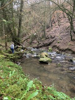
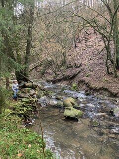
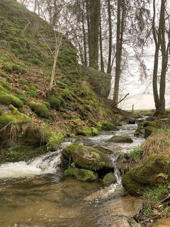
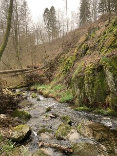
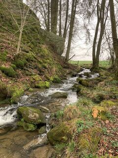
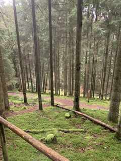
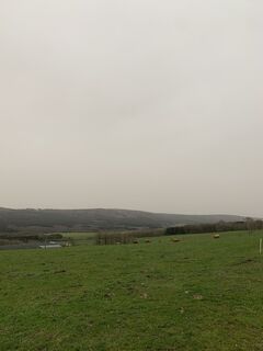
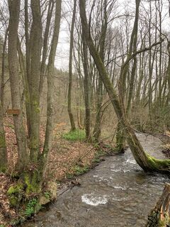
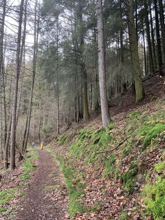
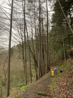
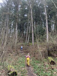
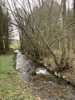
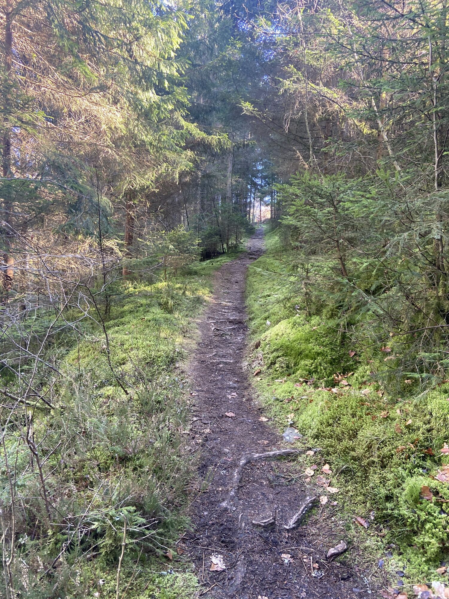
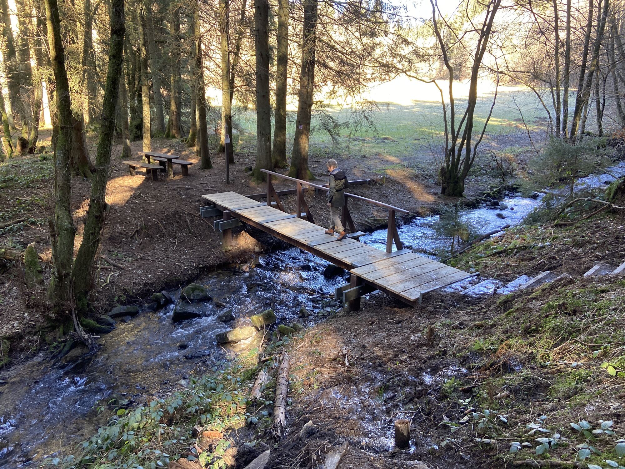
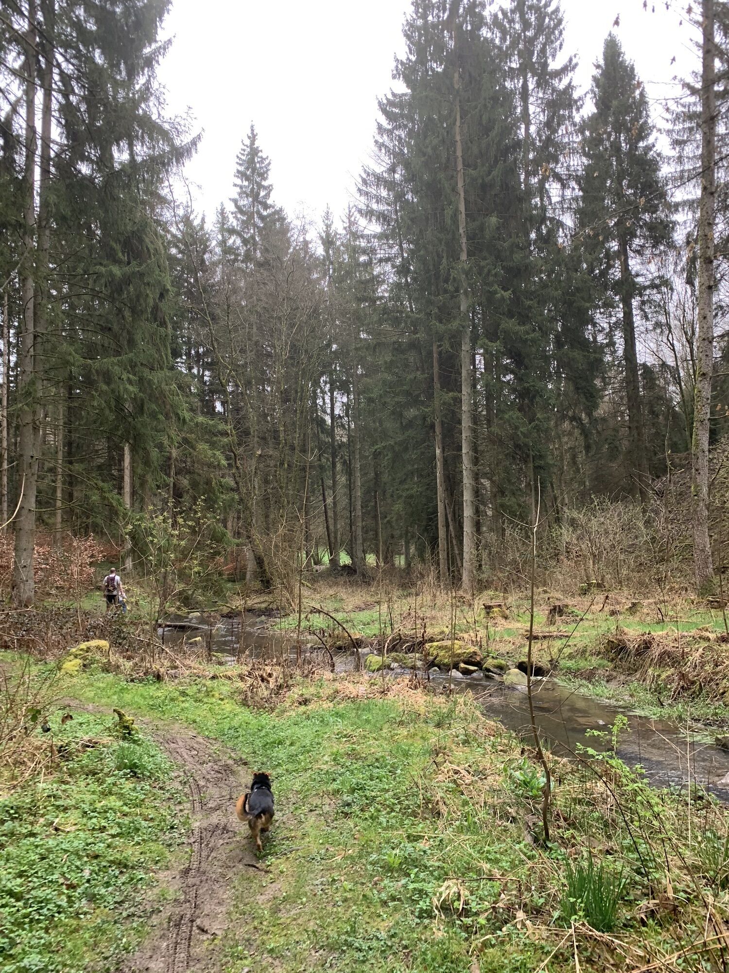
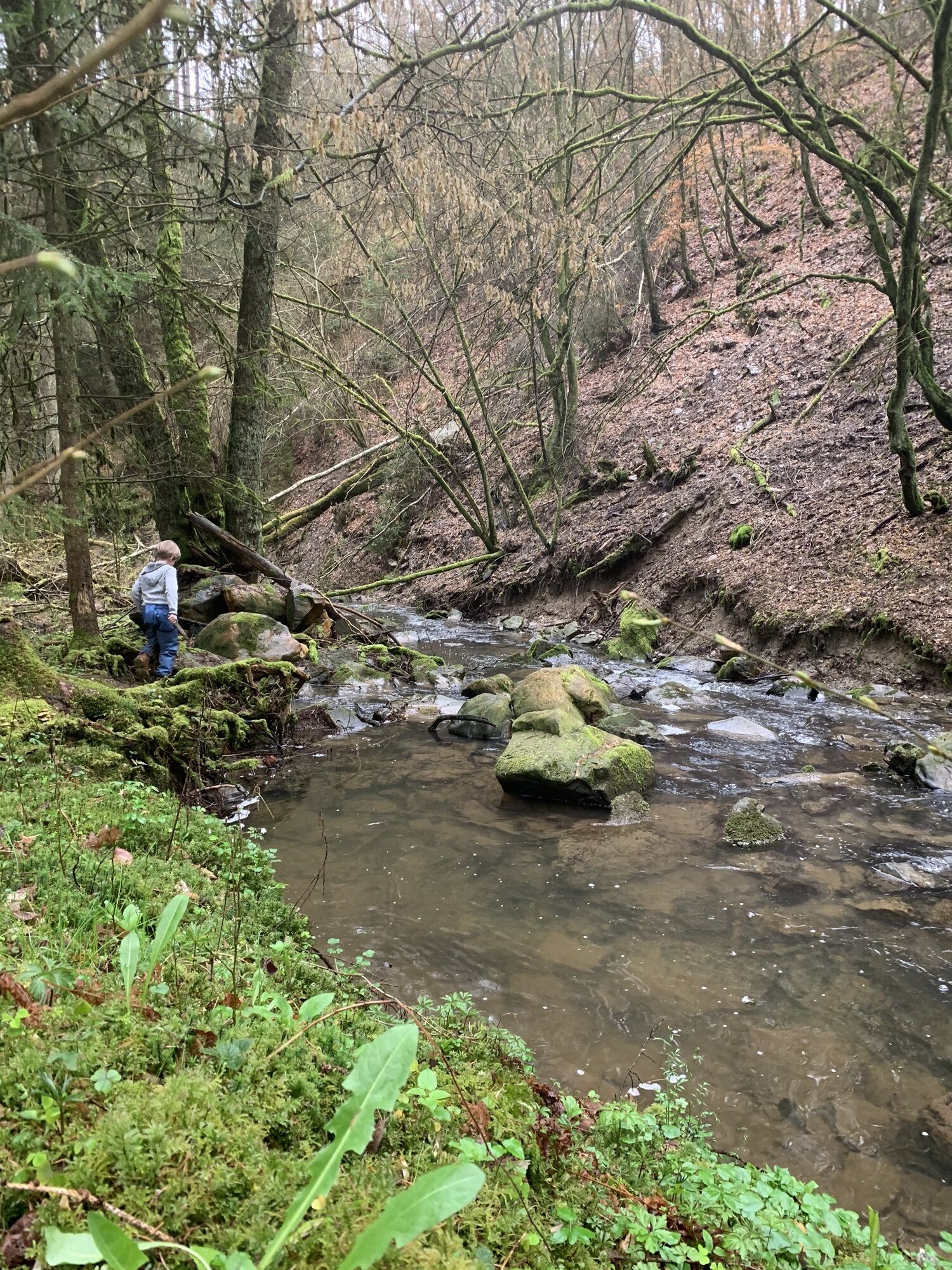
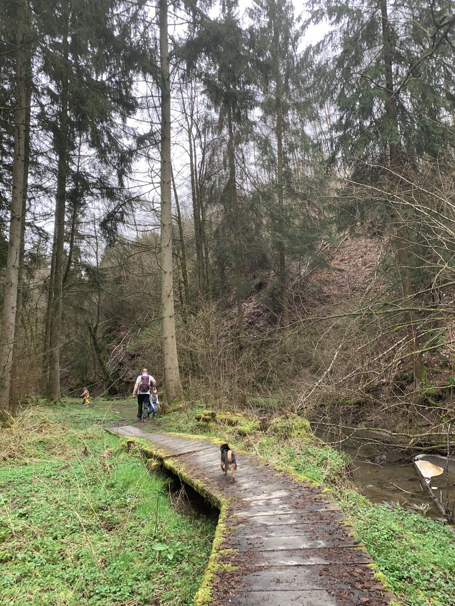
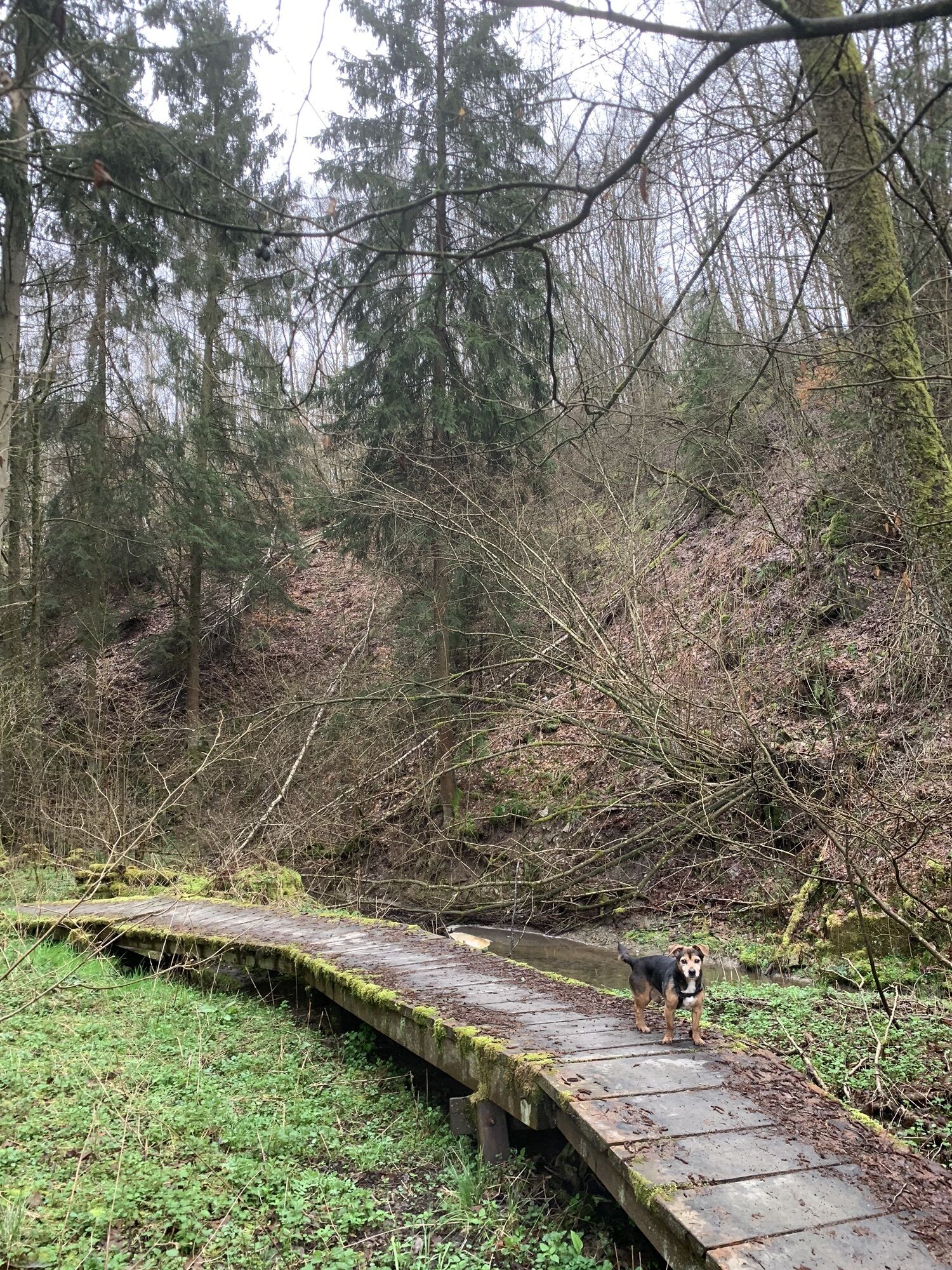
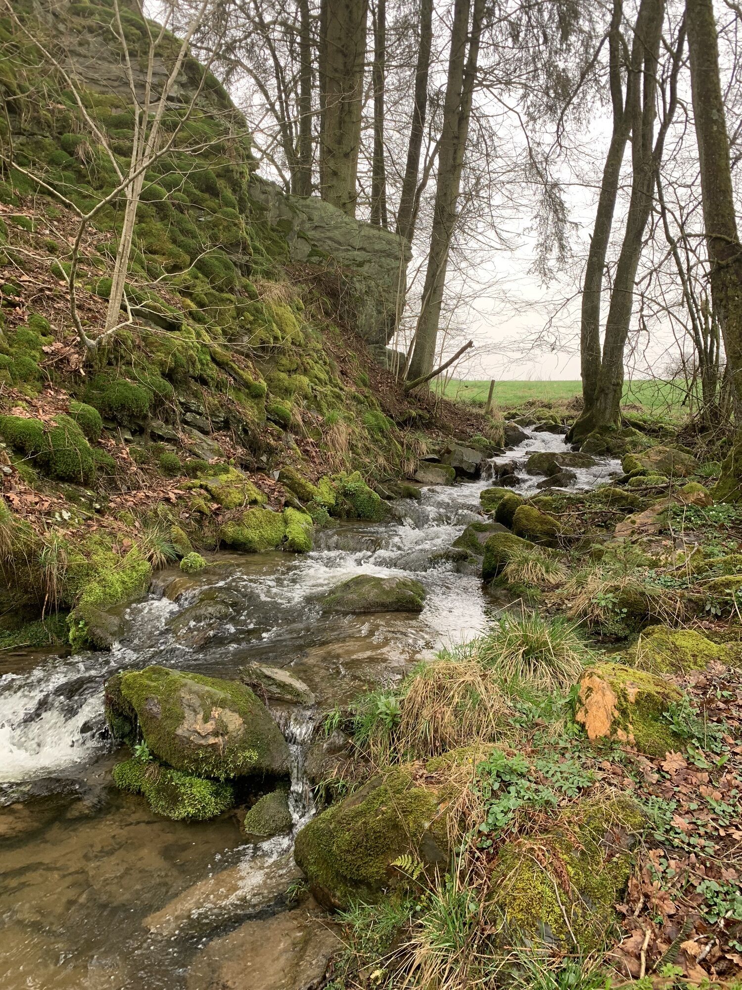
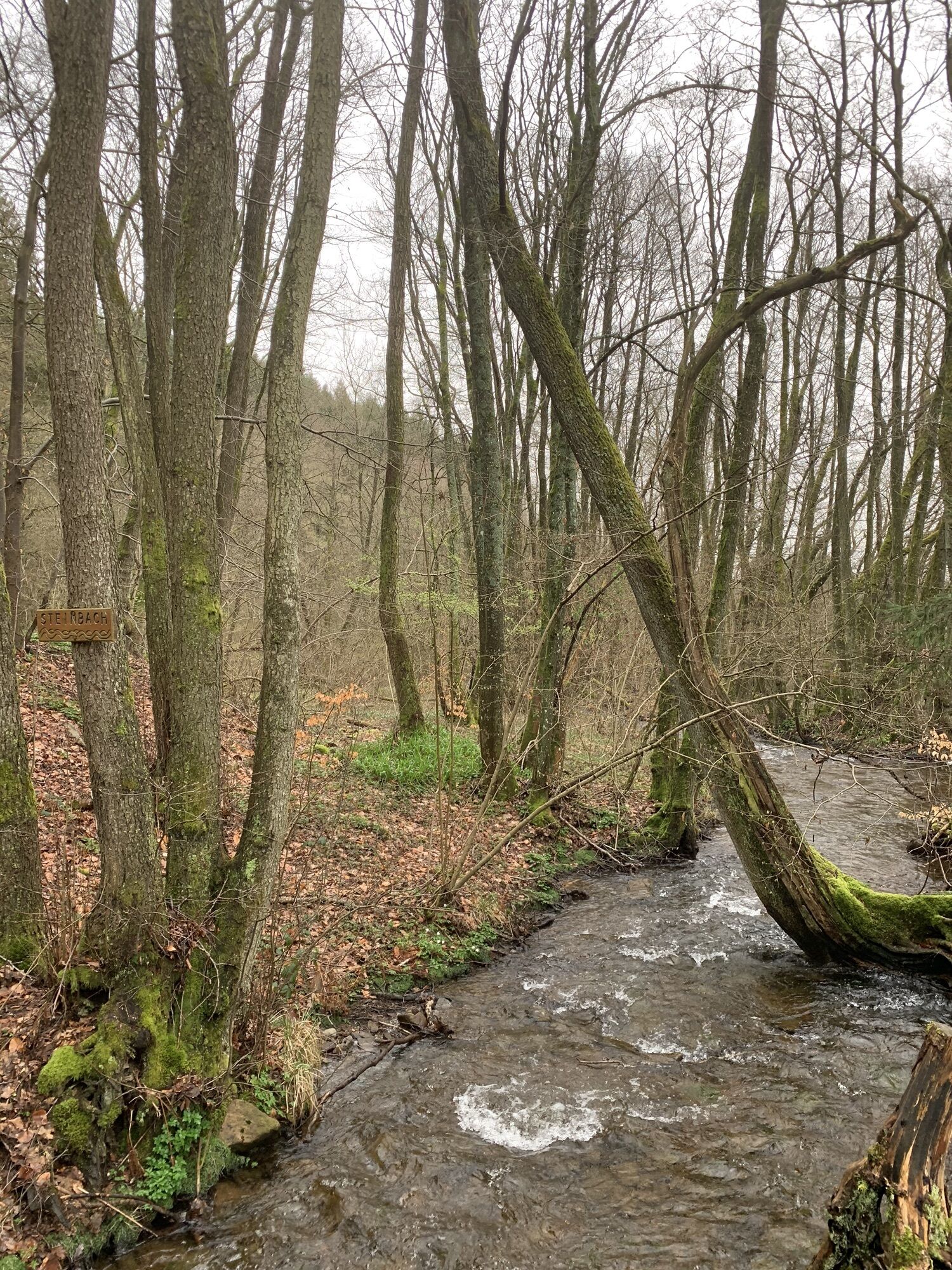
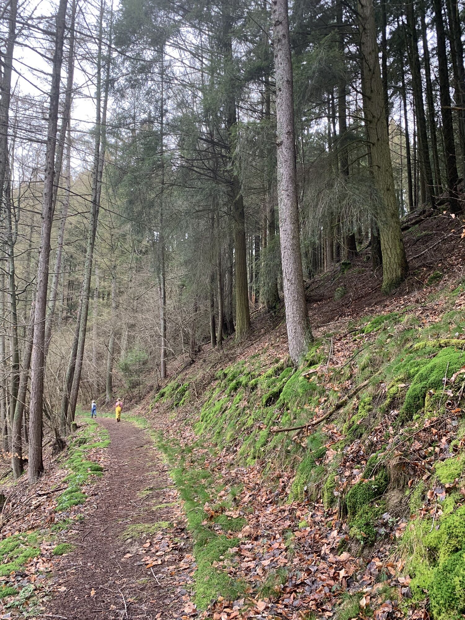
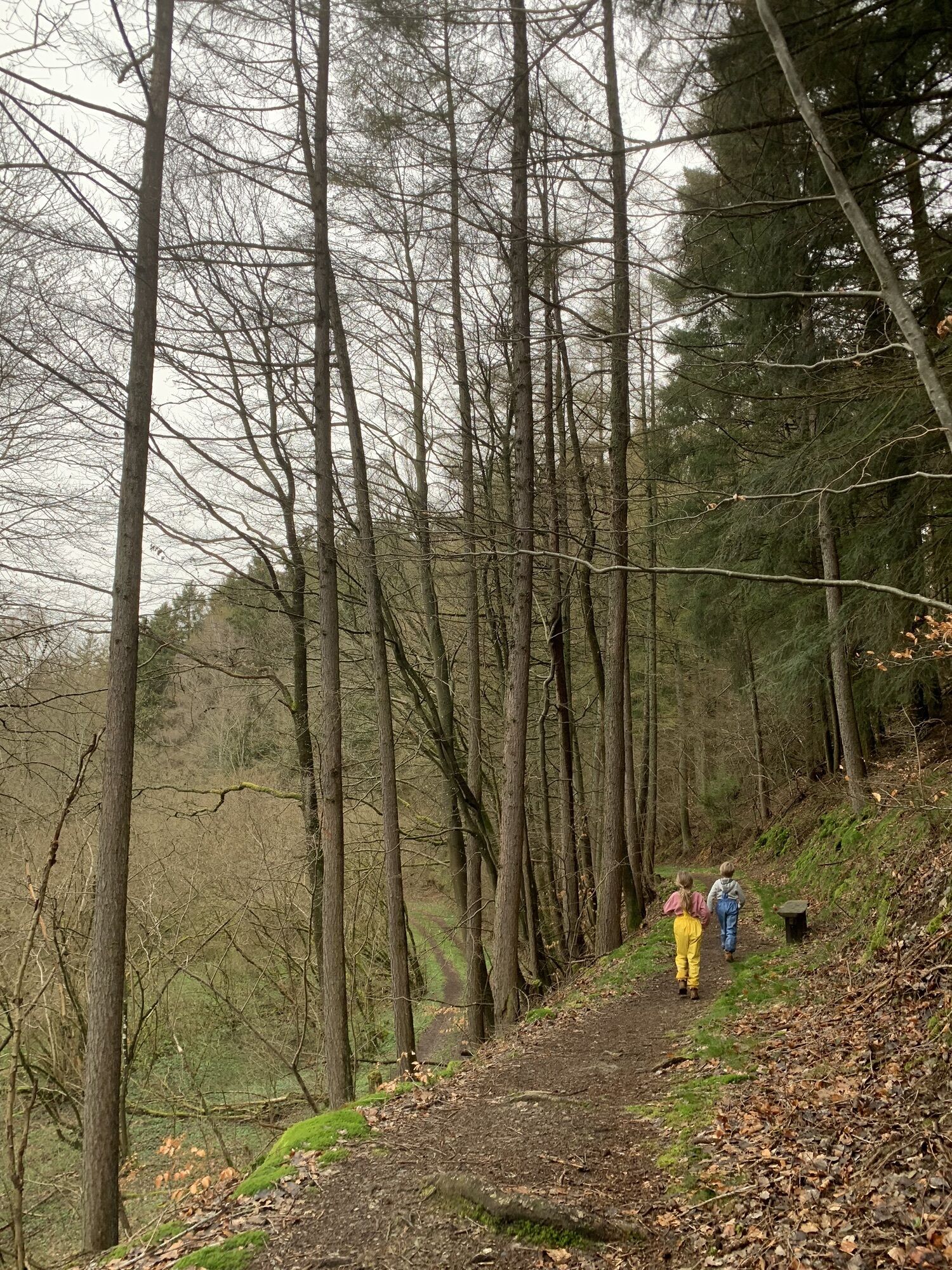
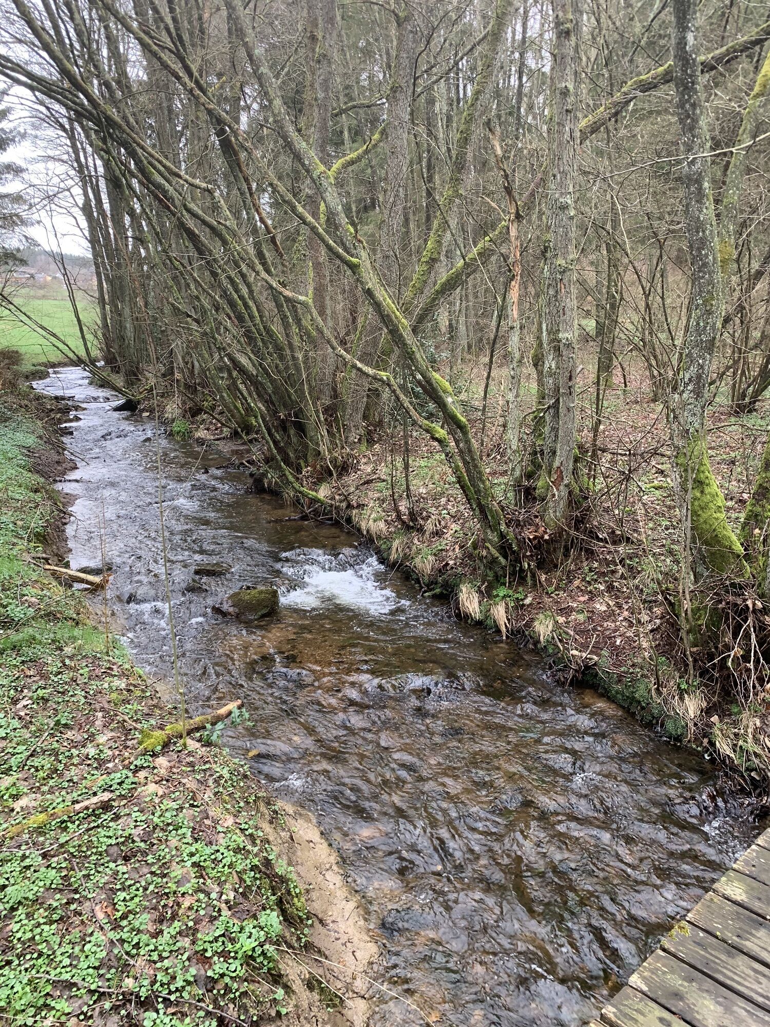
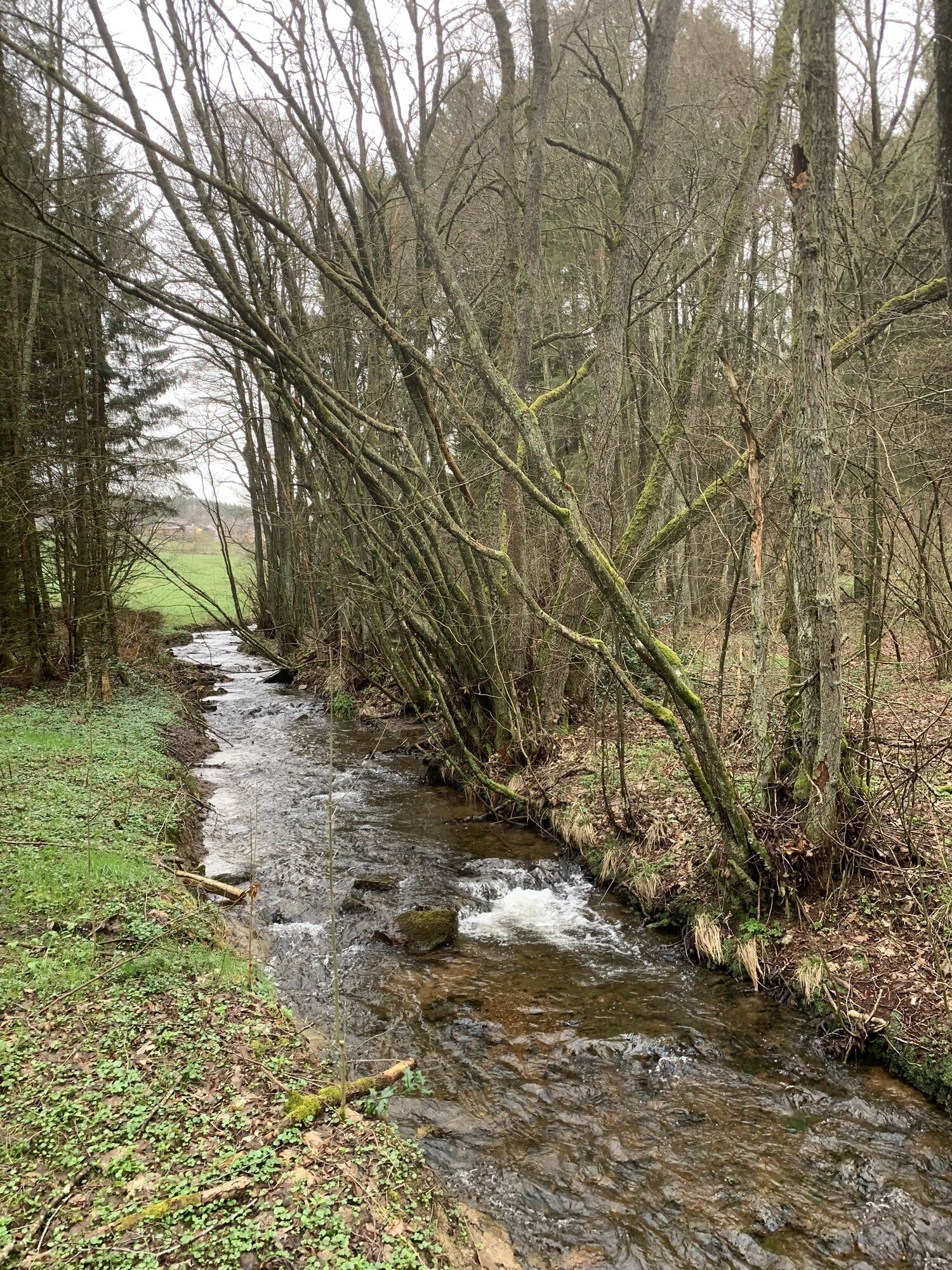
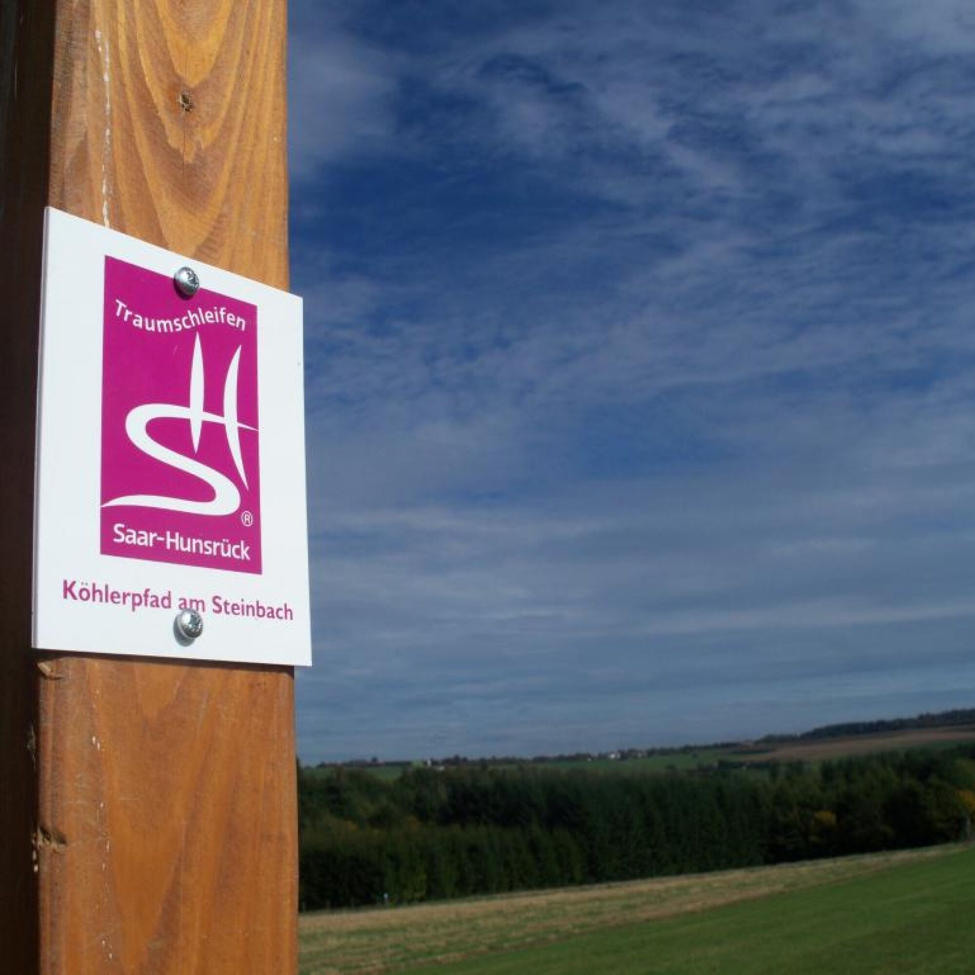
Over a meadow and a wooden footbridge, we enter the forest and cross the Steinbach on a wooden bridge, which accompanies us with its bubbling over the following meters. We pass through an open landscape past the village of Sensweiler and finally reach the memorial plaque of the abandoned settlement Croppenhof. We continue our way over fields and meadows and enjoy the beautiful view of the Wildenburg from the Sensweiler viewpoint before we follow the “Köhlerpfad am Steinbach” downhill and finally enter the forest. The path leads on winding narrow trails through the forest until we reach the Steinbach dam waterworks in Kempfeld-Katzenloch with a nearby hiking parking lot.
We turn left into the forest and follow the stream, which we cross on a wooden footbridge. Our path continues along the forest edge until we can enjoy an impressive view of the Steinbach dam at a viewpoint. We continue the path through the forest and arrive again at a viewpoint with a sensory bench. On the following stretch, we can also enjoy the fantastic view of the Steinbach dam.
Then it goes again over the open landscape, where a beautiful view of the Wildenburg opens up to us. Uphill, on the right, lie the villages of Kempfeld and Bruchweiler. We follow the path along the forest edge and cross the L162. Then it goes into the forest, over a footbridge, until we reach the open landscape again and have another beautiful view of the Steinbach dam.
Shortly before Langweiler, we enter the forest again and walk past thick, moss-covered trees until we reach the first houses. In Langweiler, we keep to the right and after a few meters turn left. Passing the memorial of the local community, we follow the path, which on the last meters uphill runs again on the Saar-Hunsrück-Steig. We pass the former monastery Marienhöh and return to the starting point of our hike.
Yes
Hiking boots required!
Our tips for a carefree hiking pleasure:
Hiking is the perfect sport. With the right clothing and the right shoes, it is twice as much fun. Functional clothing, poles, and breathable backpacks are pleasant when hiking. However, good shoes are essential. Robust jogging or casual shoes are only suitable for short distances on flat paths. For longer routes, we recommend sturdy hiking boots with a grippy, non-slip sole. Also, think of sun protection and take a drink with you. One liter of water is ideal.
Natural paths, sections with ascents and descents (appropriate footwear and weather conditions apply)
A1 exit Mehring, drive to Thalfang, from there continue on L164, then B422 and L 162 (Langweiler, Bruchweiler) or B422 (Kempfeld-Katzenloch)
A61 exit Bad Kreuznach, direction Idar-Oberstein, B41 to Herrstein/Fischbach exit, via L160, then L162 (Langweiler/Bruchweiler) or L178 (Kempfeld-Katzenloch)
From Idar-Oberstein station:
to Kempfeld-Katzenloch with lines 800, 840, 845
to Sensweiler with lines 800, 845
to Langweiler with line 845
current timetables at www.rnn.info
Parking is available at the entry points: entrance portal in Langweiler, near the parking lot of the Klosterhotel Marienhöh (for navigation: Marienhöh, 55758 Langweiler). Entrance portal in Katzenloch (hiking parking lot at the waterworks in 55758 Kempfeld-Katzenloch, on L178 towards Kempfeld). Entry point in 55758 Bruchweiler (access route, approx. 2 km distance)
Tourist Information in EdelSteinland:
Office Herrstein
Brühlstr. 16
55756 Herrstein
Phone +49 6785 - 79 1400
Fax +49 6785 - 798 1400
info@edelsteinland.de
www.edelsteinland.de
Office Idar-Oberstein
Hauptstr. 419
55743 Idar-Oberstein
Phone +49 6781 - 64 6040
Fax +49 6781 - 64 9514
info@edelsteinland.de
www.edelsteinland.de
Visit the WaterKnowledgeCenter. In the visitor and information center, you will learn everything about the topic of drinking water.
Popular tours in the neighbourhood
-
4.3
Dream loop "Medieval Path"
mediumHiking 8.46 km -
5.0
Traumschleife Hunolsteiner Klammweg
heavyHiking 11.9 km -
4.0
Dream loop "Nahe Rock Trail"
heavyHiking 8.98 km -
4.0
Dream loop "STUMM-Eisenhütten-Weg"
mediumHiking 15.5 km -
5.0
Moselsteig detour Kirchspiel's Tälertour
mediumHiking 13.1 km -
Dream loop "STUMM-Orgel-Weg"
mediumHiking 13.8 km -
5.0
National Park Dream Loop "Kirschweiler Festung"
mediumHiking 9.08 km -
2.5
Dream loop "Via molarum"
heavyHiking 15.4 km -
5.0
Bike route "Panoramic route on the Sonnenplateau"
heavyCycling 40.8 km -
5.0
Rundwanderweg Hildebrechts Heimat
Hiking 7.20 km
Hiking & Tracking


Don't miss out on offers and inspiration for your next holiday
Your e-mail address has been added to the mailing list.