


Photos from our users

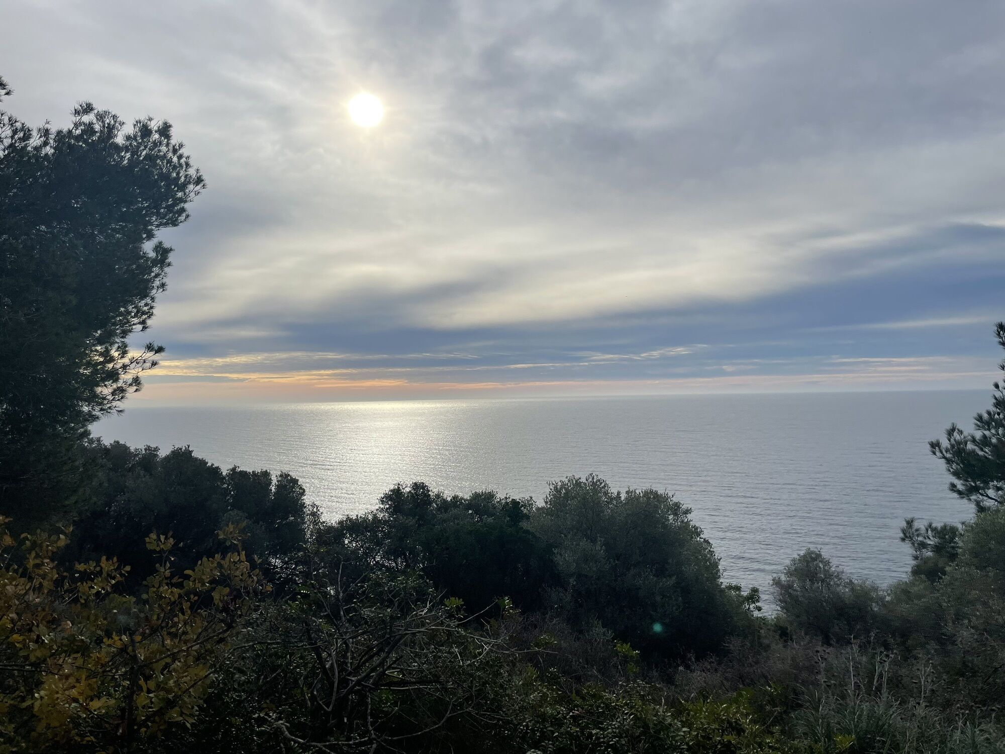
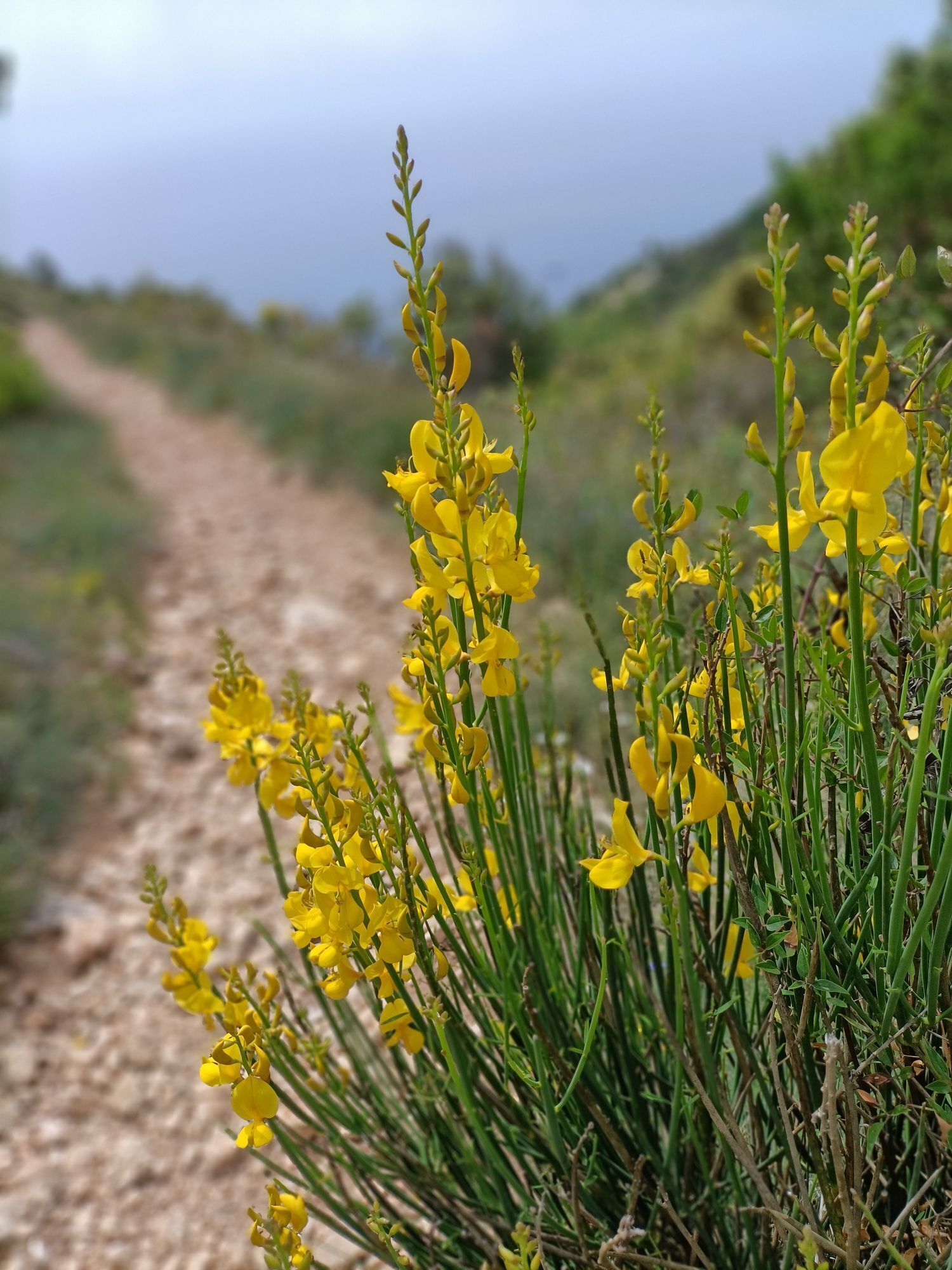
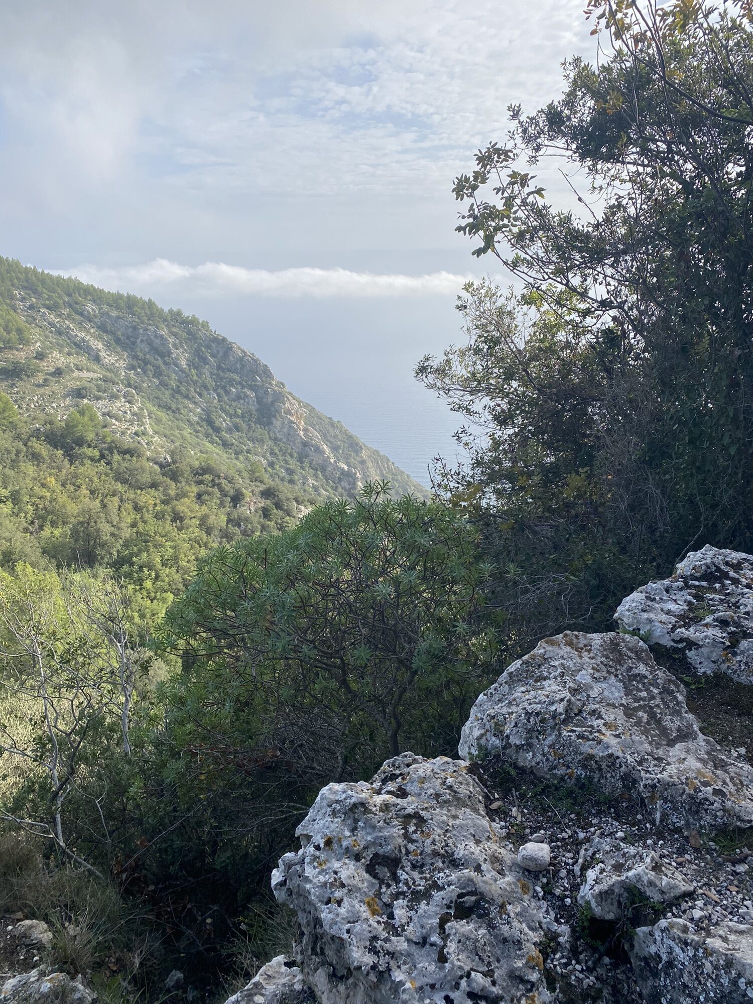
 © Olivier benasCreated on 03.01.2024
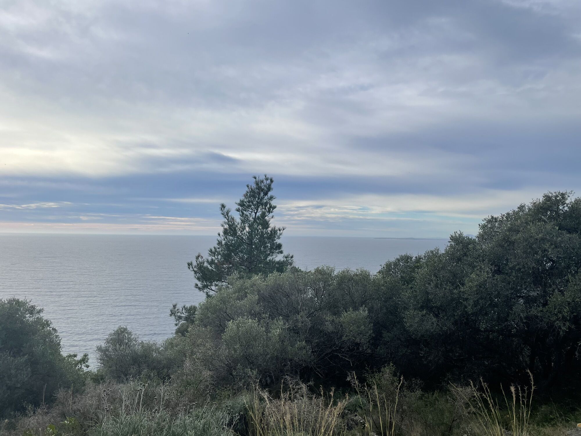
 © Olivier benasCreated on 03.01.2024
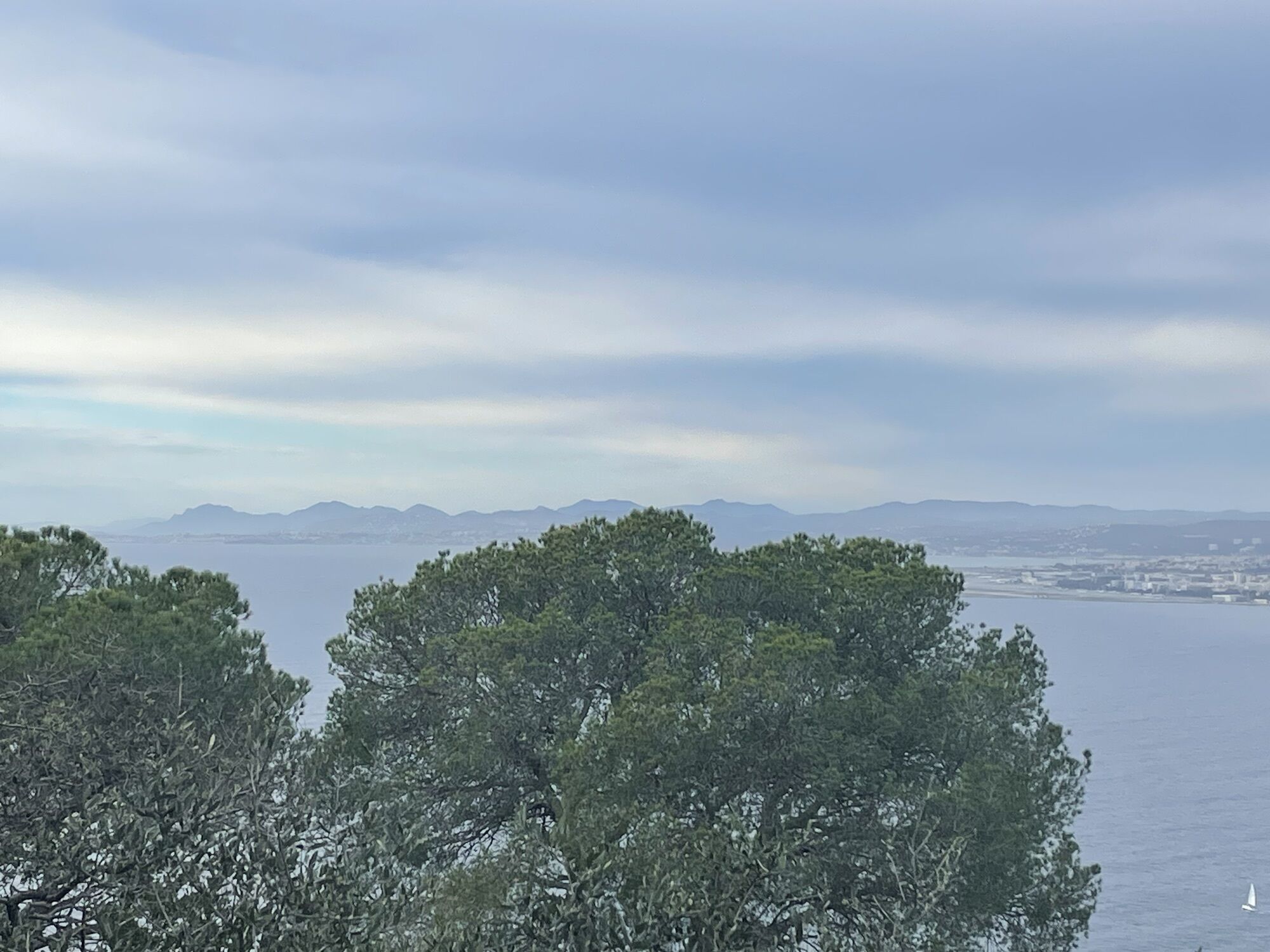
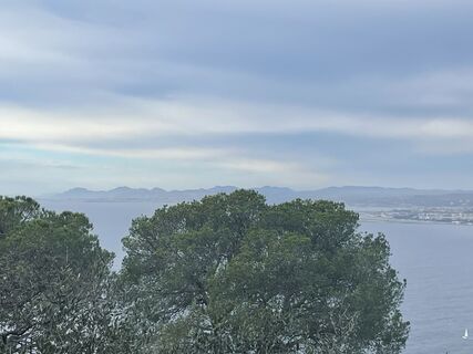 © Olivier benasCreated on 03.01.2024
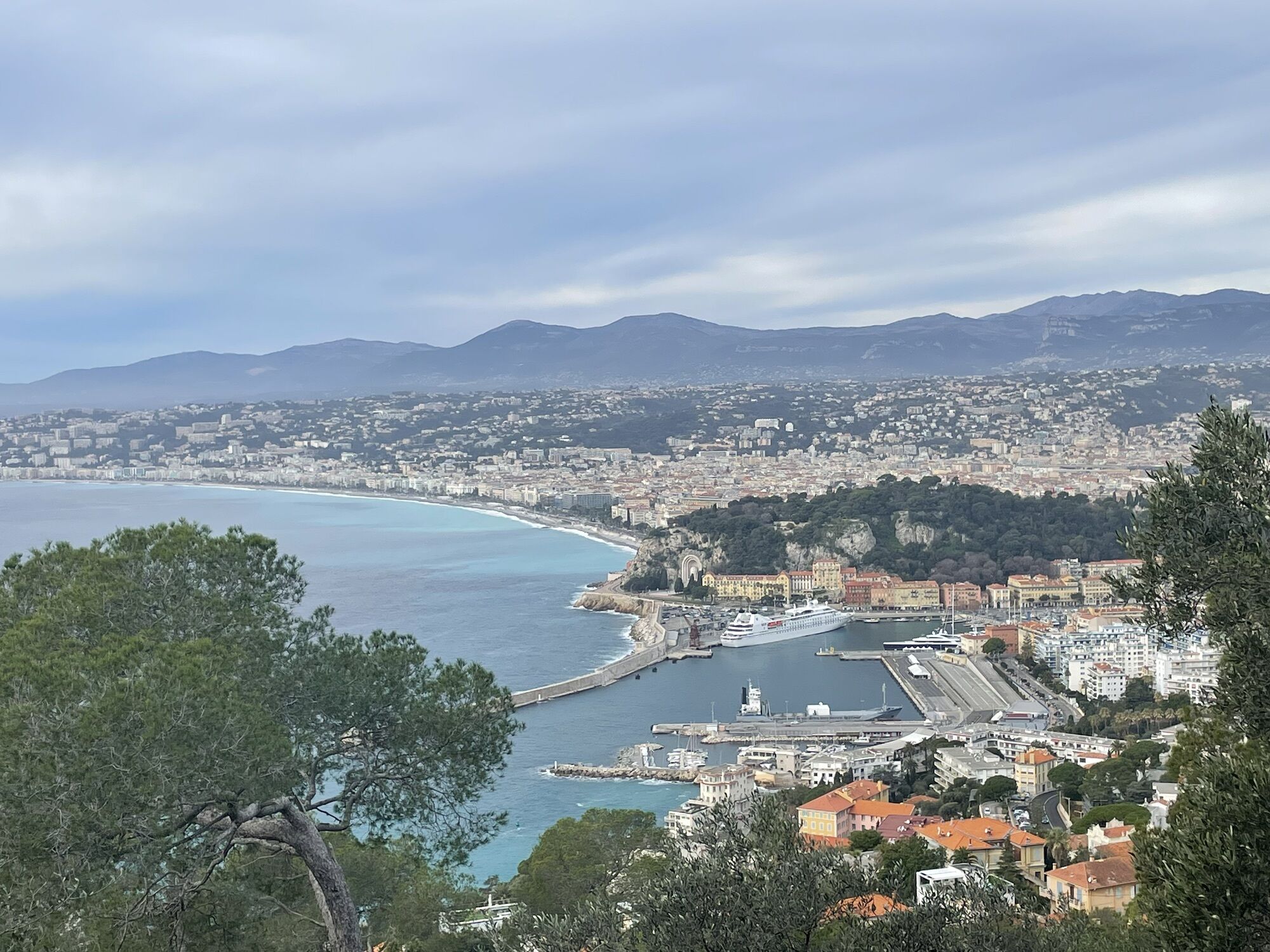
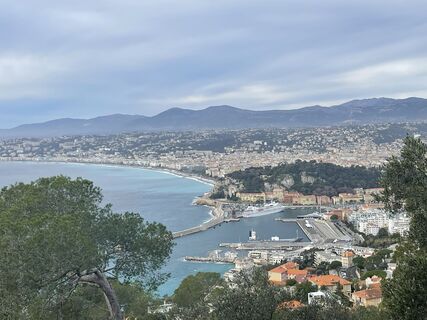 © Olivier benasCreated on 03.01.2024
 © Olivier benasCreated on 03.01.2024
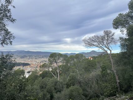 © Olivier benasCreated on 03.01.2024
 © Olivier benasCreated on 03.01.2024
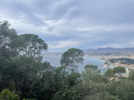 © Olivier benasCreated on 03.01.2024
 © Olivier benasCreated on 03.01.2024
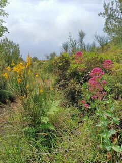
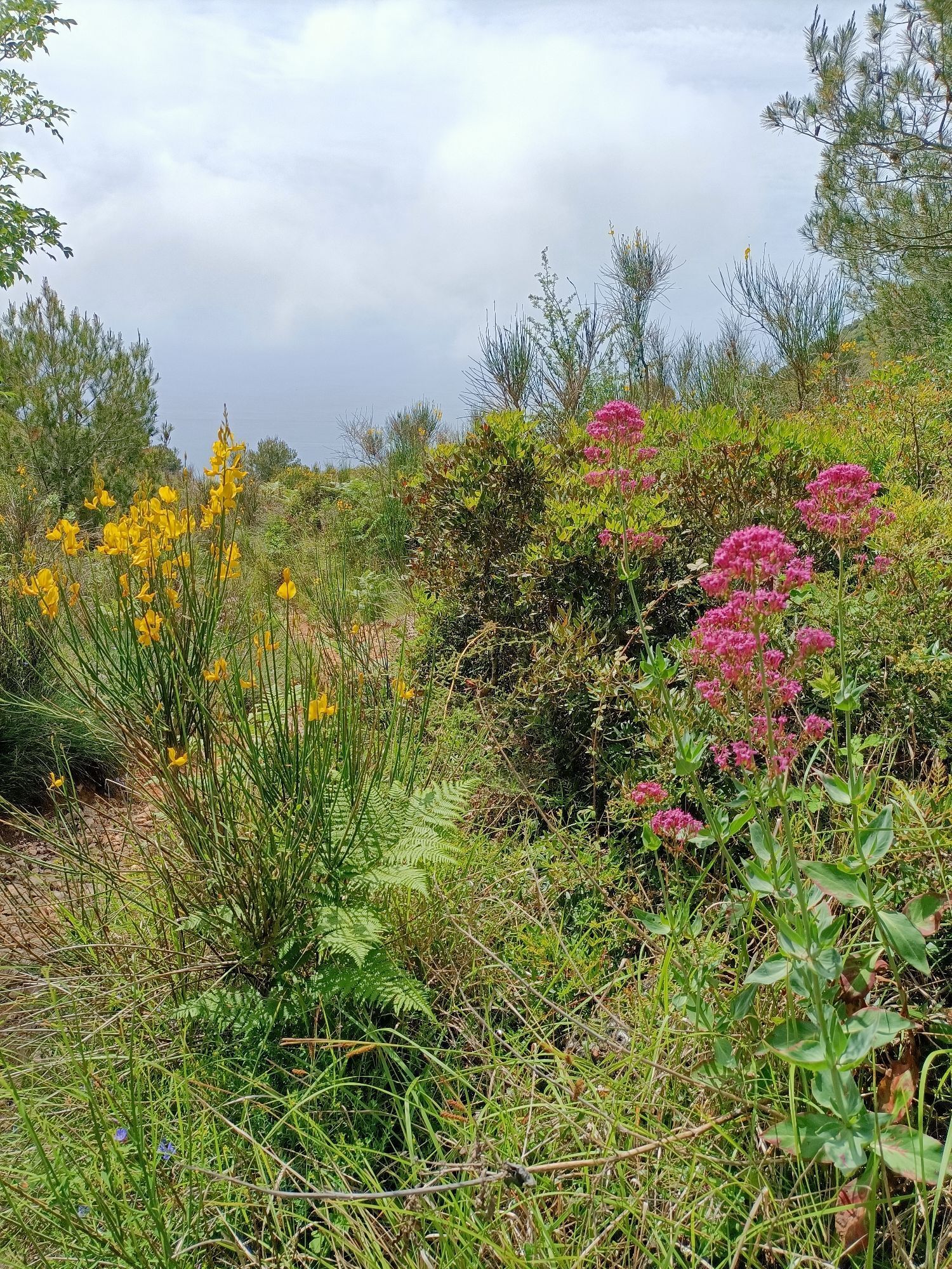
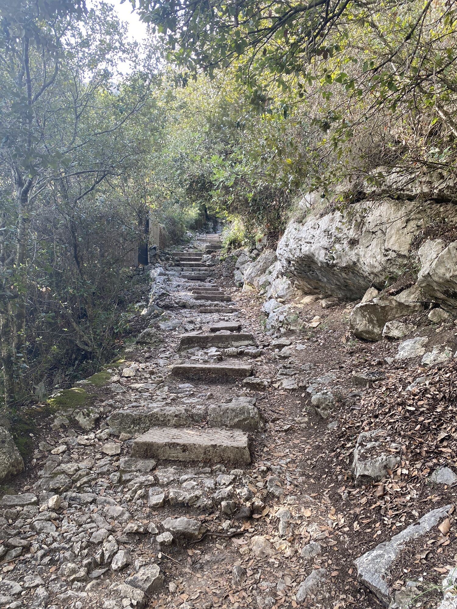
 © Stefan WallnerCreated on 04.06.2023
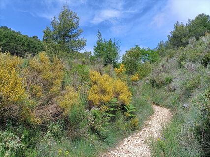 © Stefan WallnerCreated on 04.06.2023
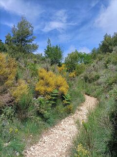 © Stefan WallnerCreated on 04.06.2023
 © Stefan WallnerCreated on 04.06.2023
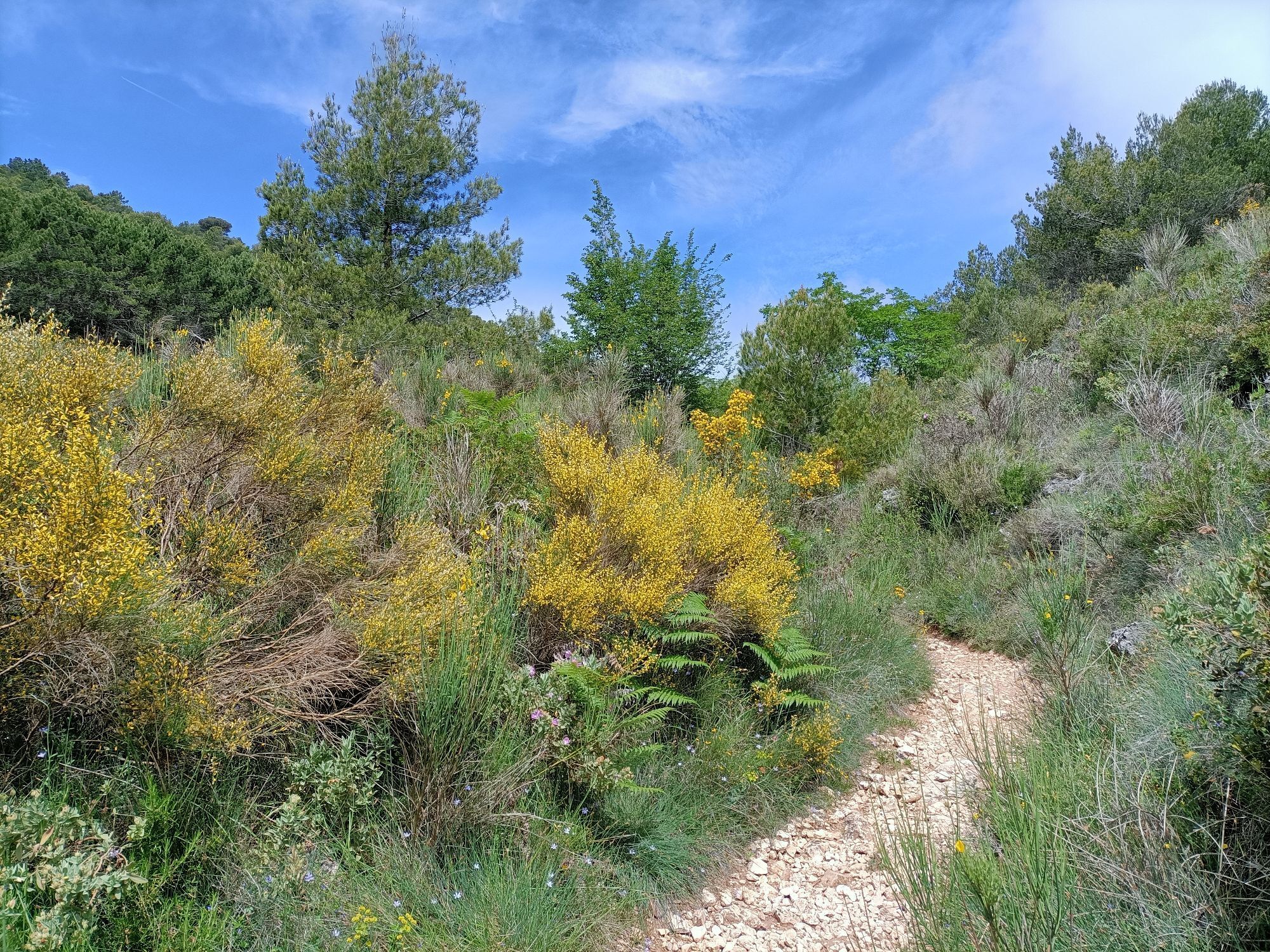
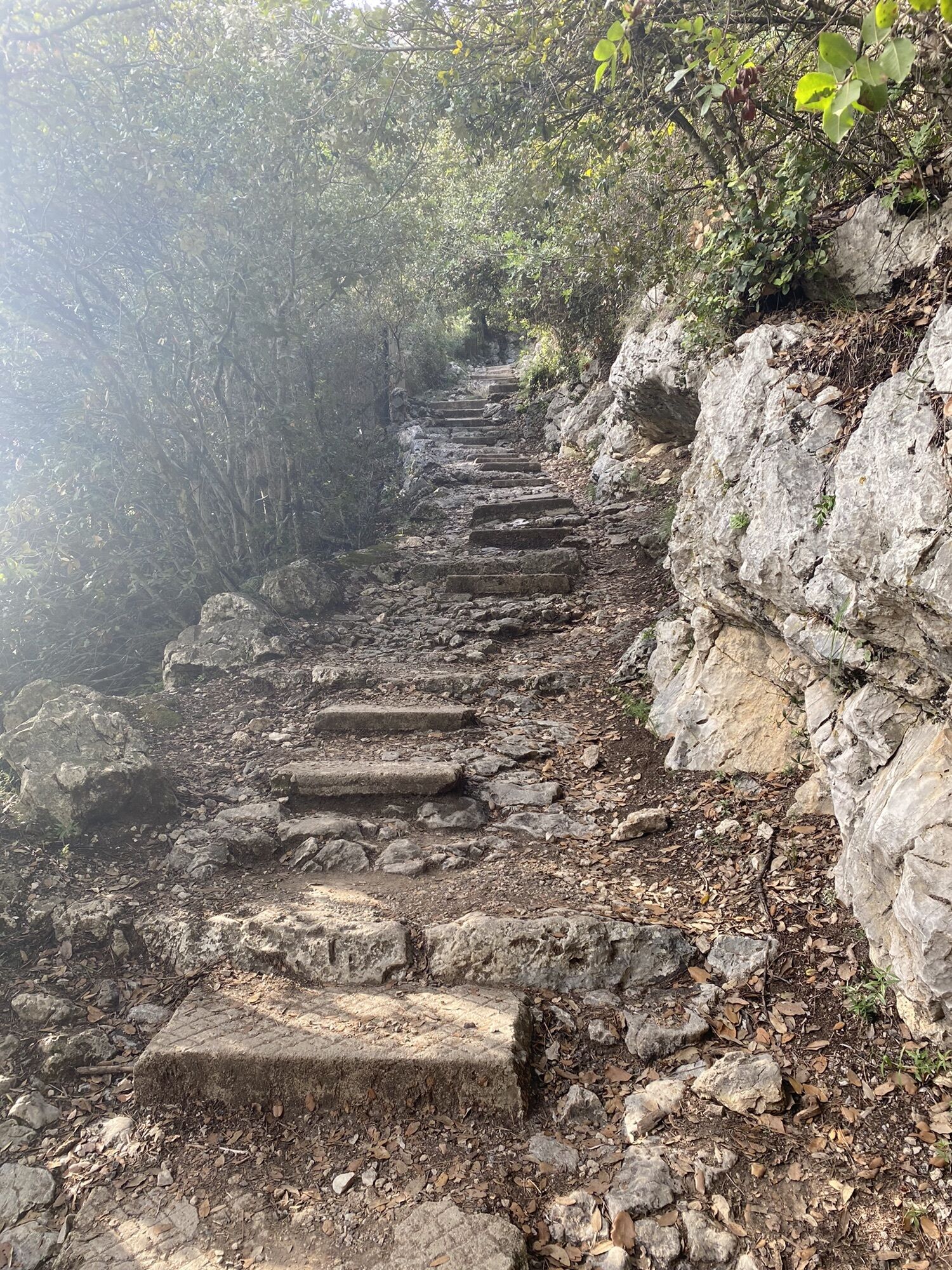
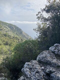 © Heike BangertCreated on 26.10.2022
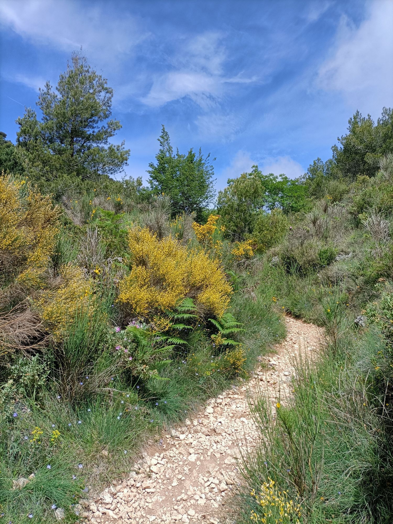
 © Heike BangertCreated on 26.10.2022
 © Heike BangertCreated on 26.10.2022
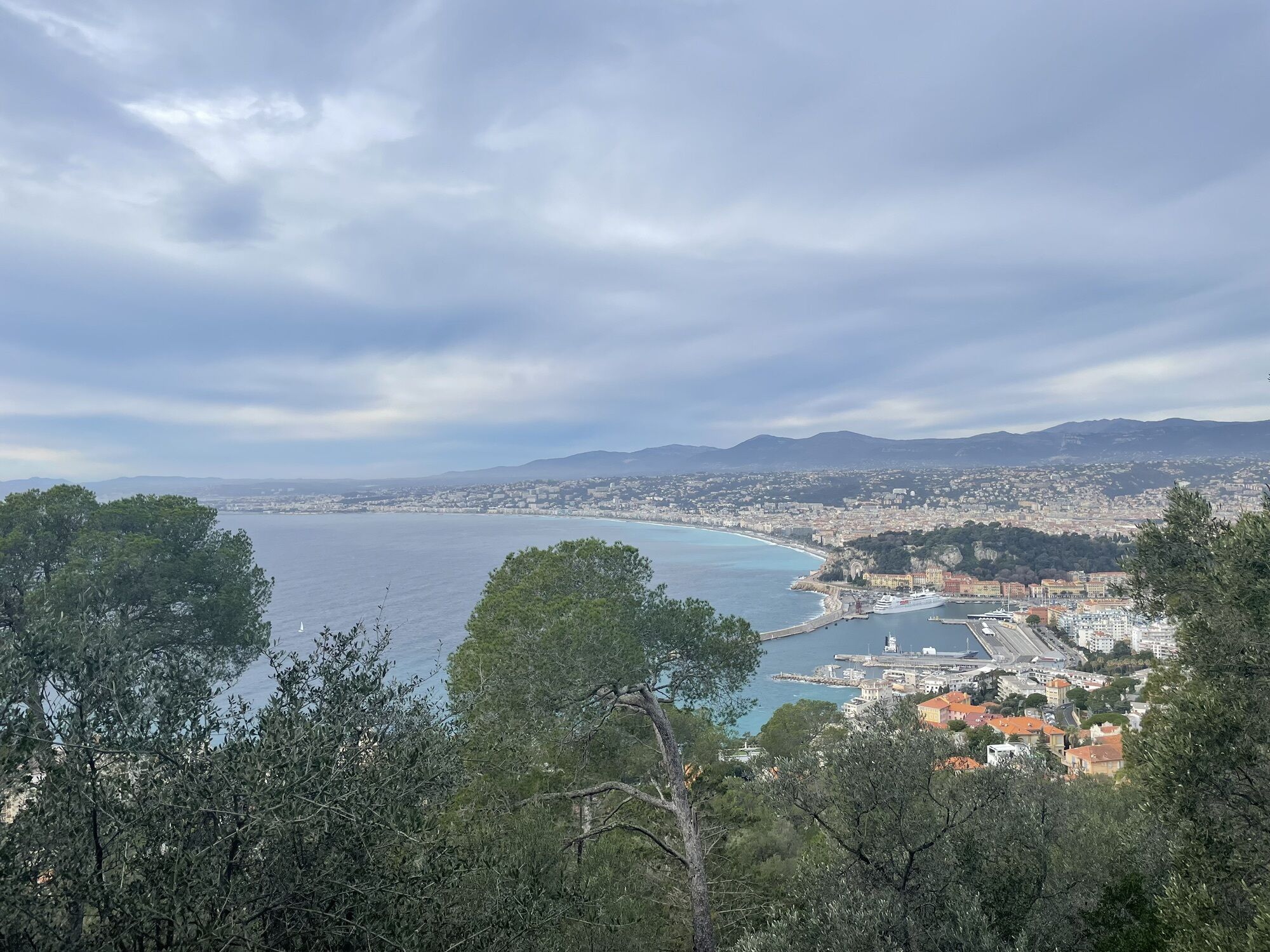
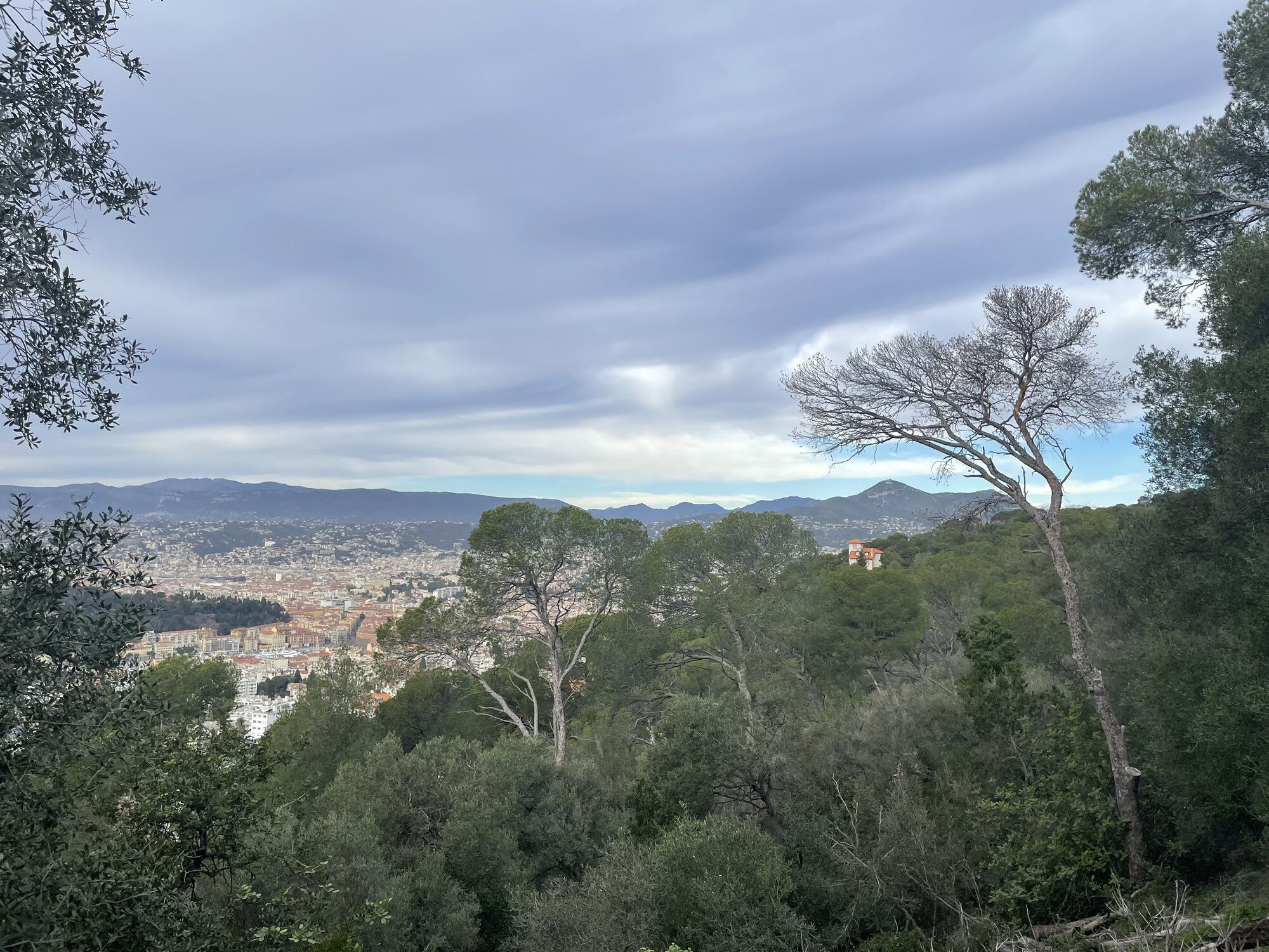
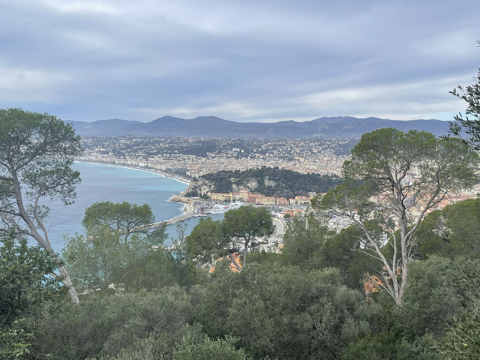
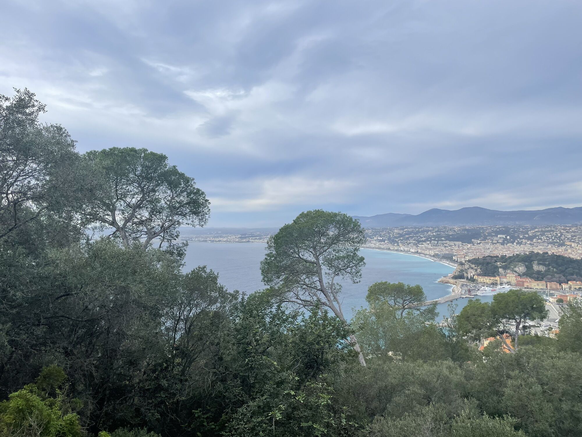
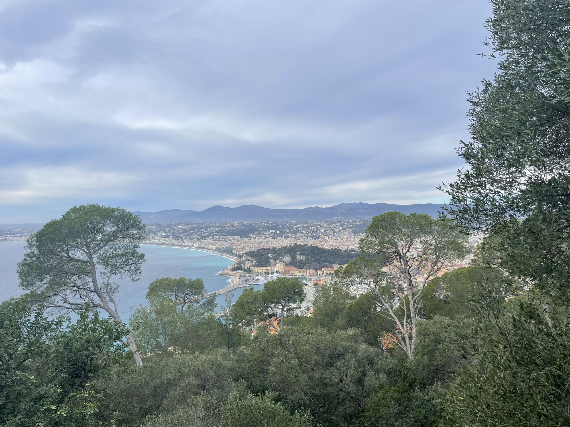
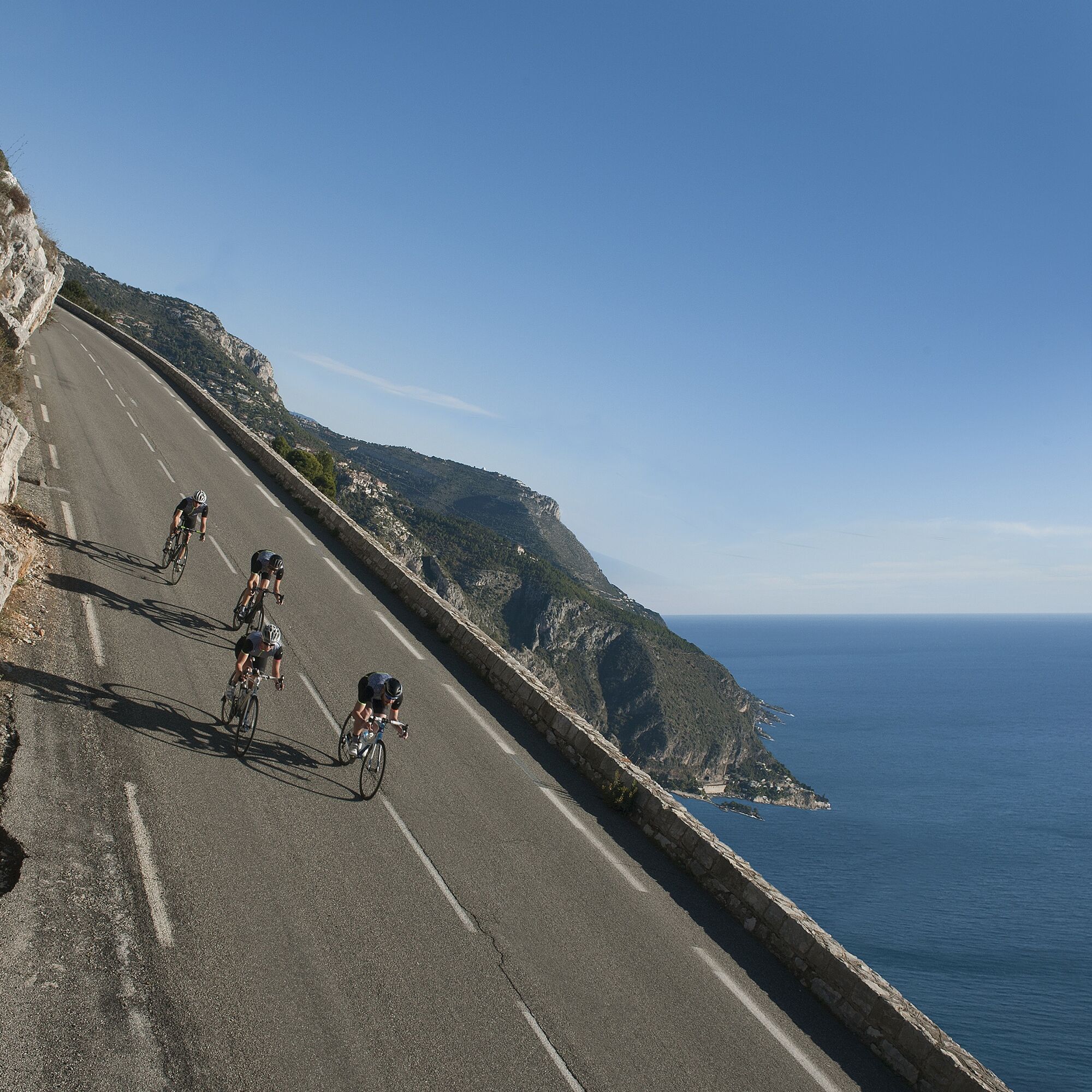
A loop that offers exceptional views of the Mediterranean Sea. A cycling paradise, chosen by many professional cyclists, most of whom live in Monaco.
All the outdoor activities in the Nice Côte d'Azur...
A loop that offers exceptional views of the Mediterranean Sea. A cycling paradise, chosen by many professional cyclists, most of whom live in Monaco.
All the outdoor activities in the Nice Côte d'Azur region can be found at https://outdoor.nicecotedazur.org

In an emergency, dial 112
Think about carpooling
Choose public transport for your journeys
A legendary Paris-Nice passage on the Col d'Eze via a variant route taken from the village of Eze, with gradients approaching 15% over a few hundred metres.
Popular tours in the neighbourhood
A short walk in Eze: Fort de la Revère circuit
lightHiking6,02 km- 4,0
Chemin de Nietzsche
lightHiking3,73 km The "Route des Paysages" between the coast and the middle country of Nice
lightMotorcycle147,7 kmGrande Randonnée® de Pays : Lou Camin Nissart
heavyLong-distance walking trail44,7 kmTour du Cap-Ferrat
mediumHiking8,99 kmFFC MTB track no. 7 - La Ronde des Oliviers
lightMountainbike8,09 kmAlla frontiera 30.08.2024
lightHiking8,01 kmKurzweg Abend.
lightHiking1,22 kmA short walk in Nice: a tour of Mont Boron
lightHiking5,13 kmCircuit VTT FFC n°1 : Le tour du Mont Chauve
mediumMountainbike11 km
Hiking & Tracking


Don't miss out on offers and inspiration for your next holiday
Your e-mail address has been added to the mailing list.