


Level of difficulty: S0


All outdoor activities of the Nice Côte d'Azur Metropolis are on https://outdoor.nicecotedazur.org
The start is at the stadium parking lot (before the waste disposal center). Take the track overlooking the Var valley and bypassing the former IBM research site. The track leads into the forest and offers a loop that allows you to return along the track in the opposite direction.
Yes
Yes
Wear a helmet, bring protective gear and repair accessories.
Monitor the weather: Mountain weather changes quickly, bring warm clothes.
Follow the marked trails, do not take shortcuts and respect the direction of the routes.
Before starting a route, check that it matches your level, check the condition of your mountain bike and leave your itinerary with someone.
Be careful, courteous and slow down when overtaking other users.
Be extra cautious during hunting season and inquire about ongoing battues.
If you encounter herd protection dogs (patous), dismount, avoid sudden movements and go around the herd.
Respect private properties, cultivated areas and close gates after passing.
Behave eco-citizenly: carry out your waste and respect wildlife and flora to preserve nature.
Always make sure to carry the IGN map corresponding to the route in question.
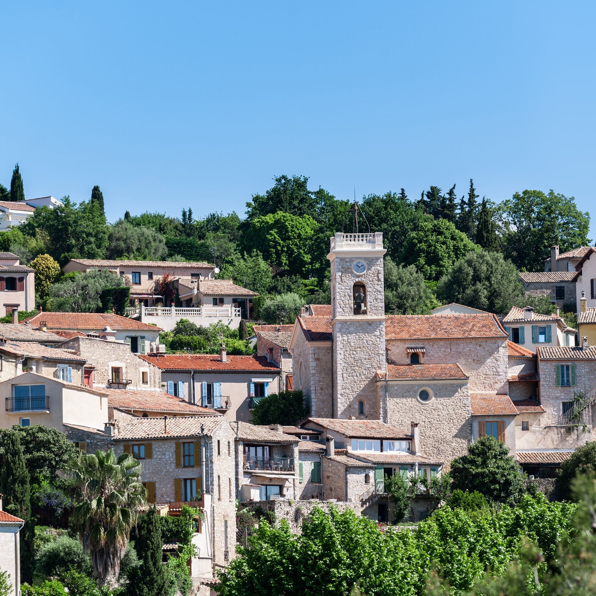
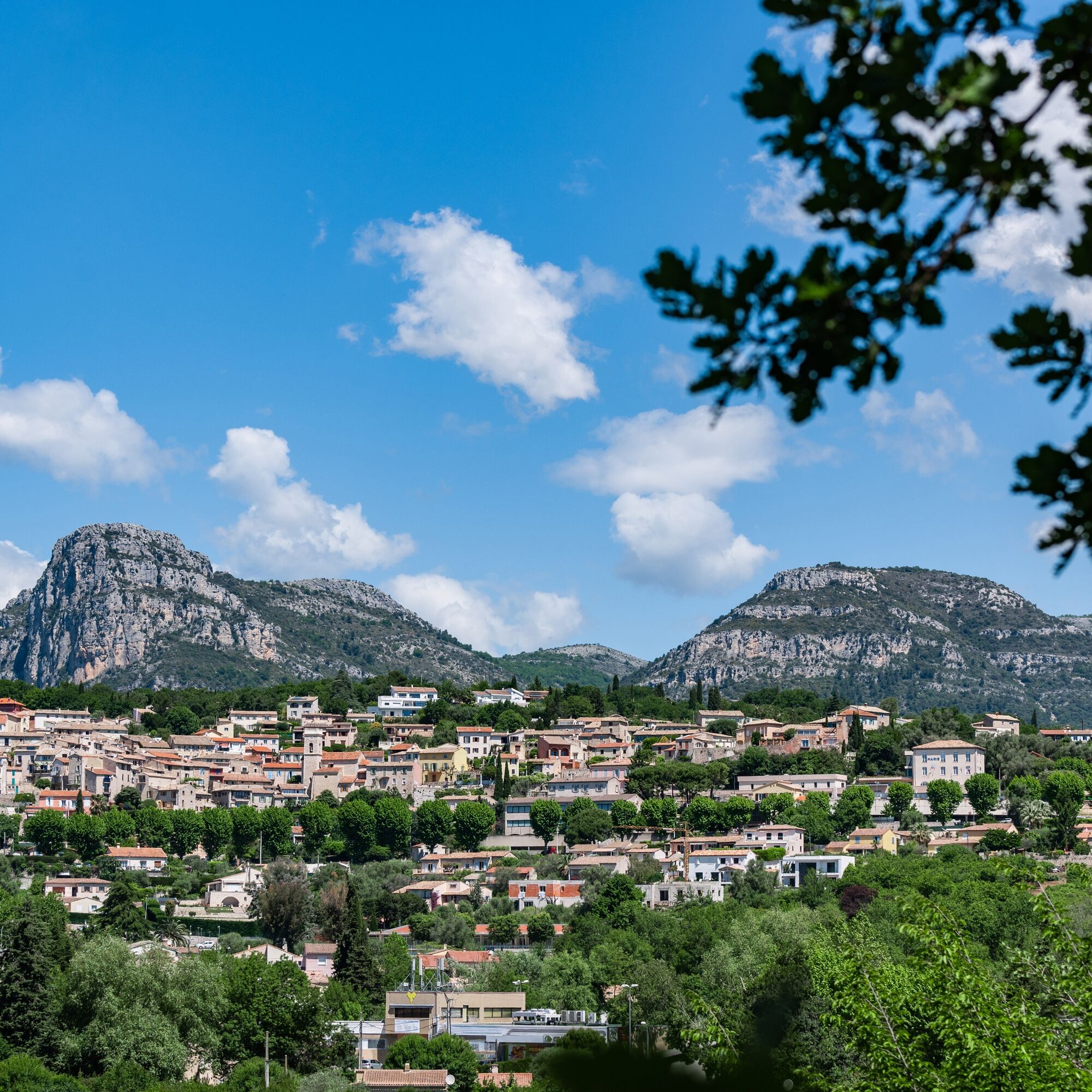
Located north of St-Laurent du Var, La Gaude is accessible by car, about twenty minutes from Nice Côte d'Azur airport.
Access by public transport:
The Lignes d’azur network offers a single fare across the entire Nice Côte d’Azur Metropolis. Validation is mandatory each time you board the bus regardless of the ticket used. To view all fares, click here: www.lignesdazur.com
Free parking on the Saint Laurent road, next to the football stadium and the waste disposal center.
S0
Popular tours in the neighbourhood
The "Route des Paysages" between the coast and the middle country of Nice
lightMotorcycle147,7 kmGrande Randonnée® de Pays : Lou Camin Nissart
heavyLong-distance walking trail44,7 kmTour du Cap-Ferrat
mediumHiking8,99 kmVTT FFC circuit no. 7 - The Olive Trees Loop
lightMountainbike8,09 kmLittle hike in Nice: the Mont Boron route
lightHiking5,13 kmFFC mountain bike circuit no. 1: The Mont Chauve route
mediumMountainbike11 kmFFC bike circuit no. 5: on the Tour De France routes (big loop)
mediumRacing74,2 kmFFC MTB route no. 25: The summit of Broc
mediumMountainbike18,9 kmMTB FFC circuit no. 50: le Calamel
mediumMountainbike18,0 kmNice - Aspremont / Pagarine Route (stage 1)
mediumHiking15,8 km
Hiking & Tracking


Don't miss out on offers and inspiration for your next holiday
Your e-mail address has been added to the mailing list.