


The route, marked as a link road and extension of Sentiero Italia , starts from the Gran Bosco di Salbertrand Nature Park headquarters and runs along an old mule track towards Oulx. Along the way there...
The route, marked as a link road and extension of Sentiero Italia , starts from the Gran Bosco di Salbertrand Nature Park headquarters and runs along an old mule track towards Oulx. Along the way there are some historical/cultural sites such as the Carbonaia and the Calcara, both part of the Colombano Romean Ecomuseum.
It continues through a coniferous forest with panoramic views of Lake Orfu.
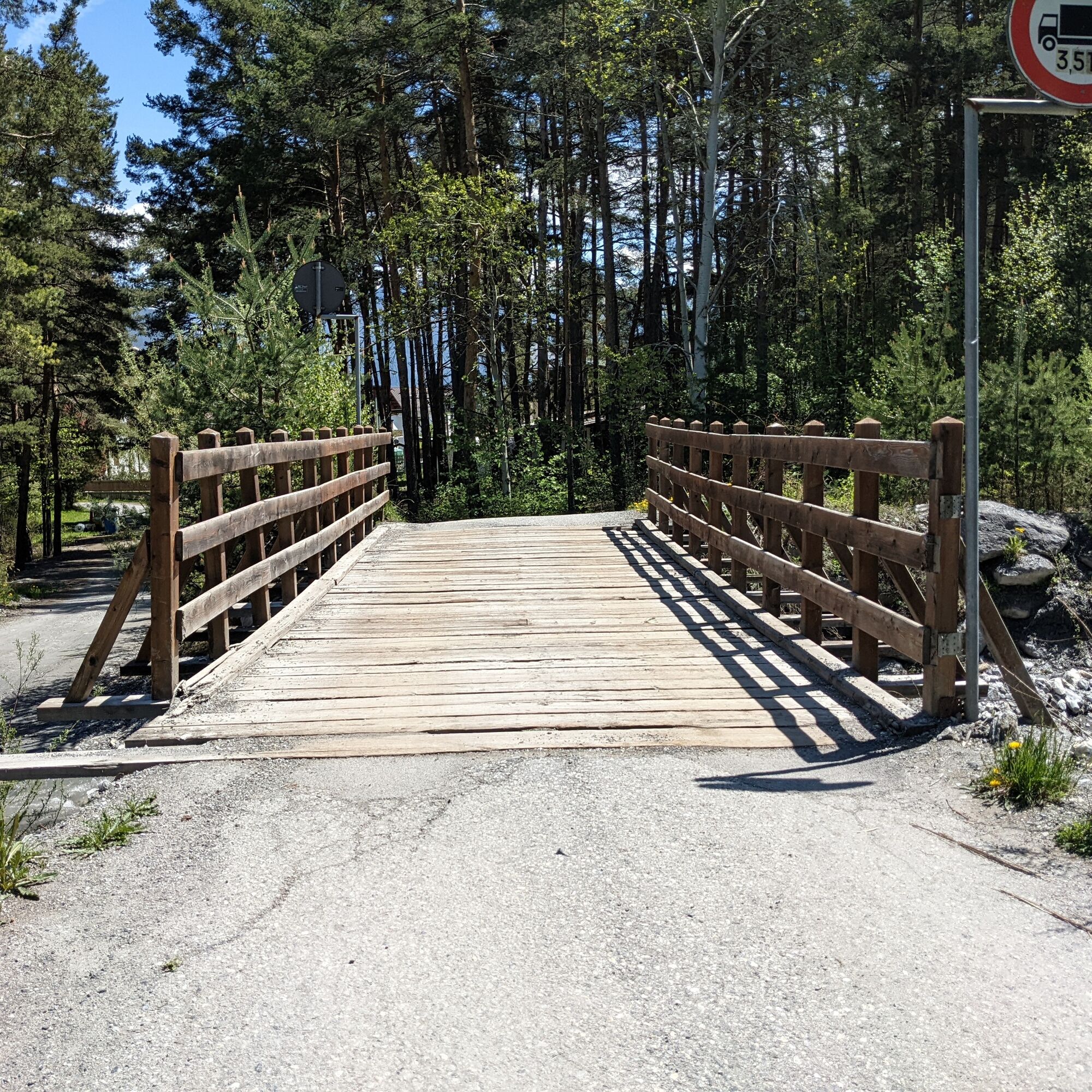
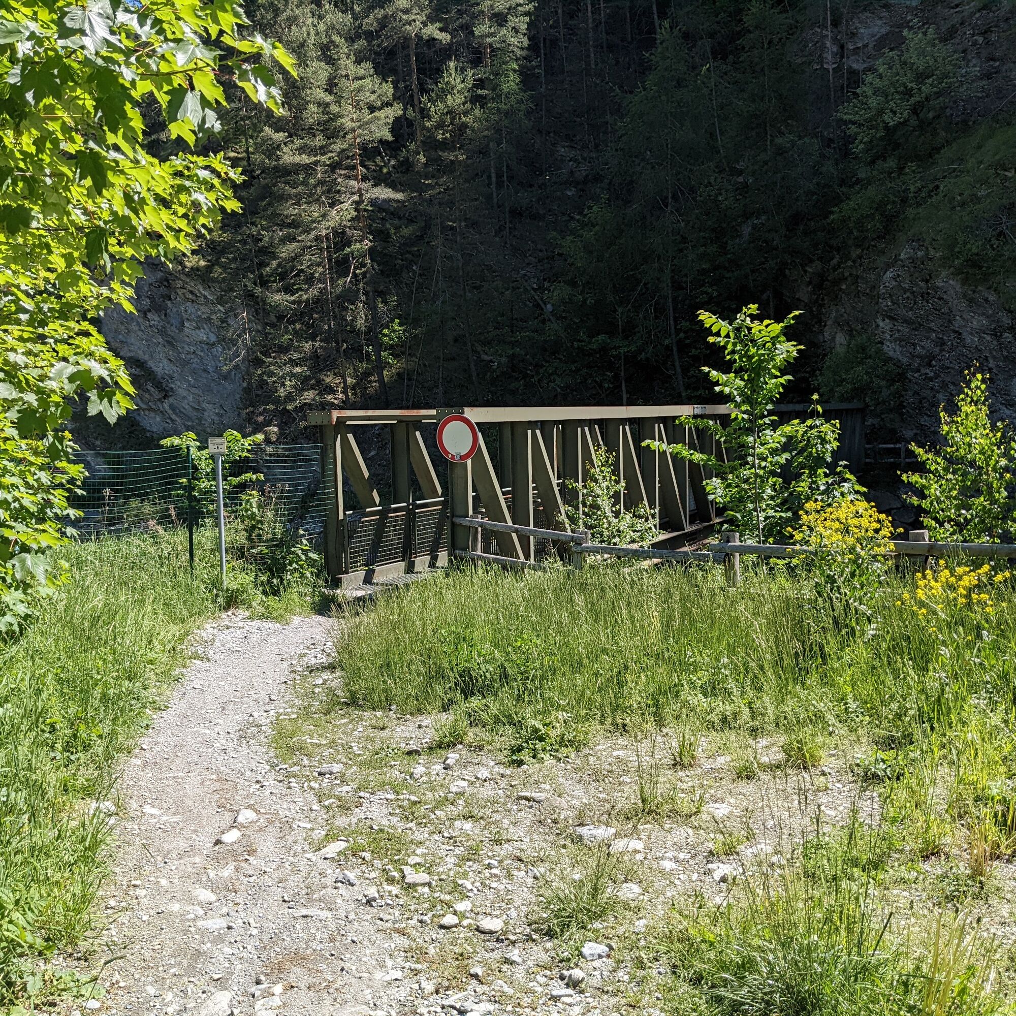
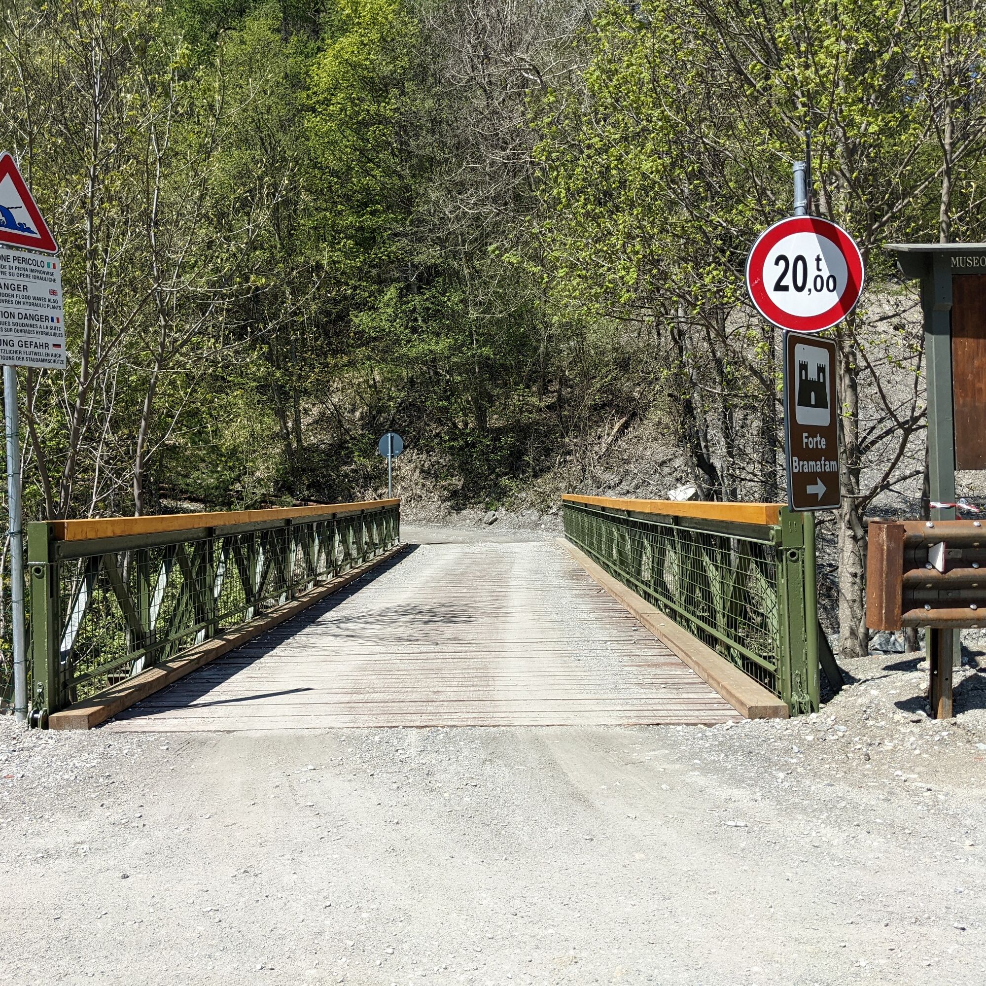
The path continues to the hamlet of Gad and, after a paved section, reaches Oulx and crosses it. Just outside the village, the Green and Emerald lakes are encountered, and continuing along a former cross-country trail that skirts the Dora di Bardonecchia, you first reach Beaulard and then Rocca Tagliata. Here, a footbridge precedes the ascent to Fort Bramafam, crossing woods rich in wildlife.
When you reach Quattro Strade, you can choose to continue uphill toward Pian del Sole or descend in the direction of Fontana Giolitti or Campo Smith.
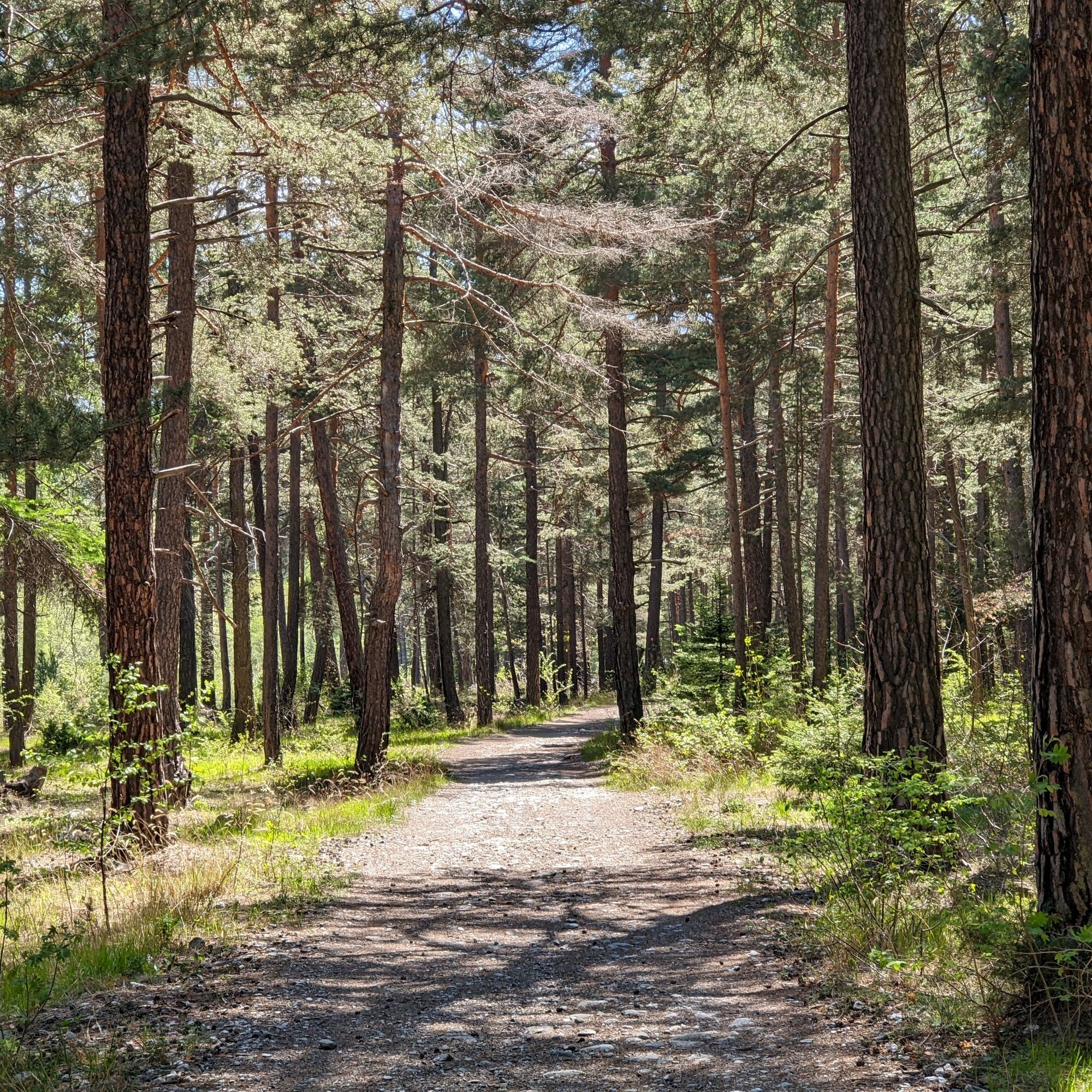
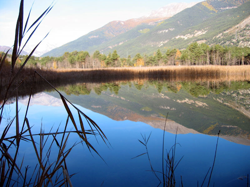
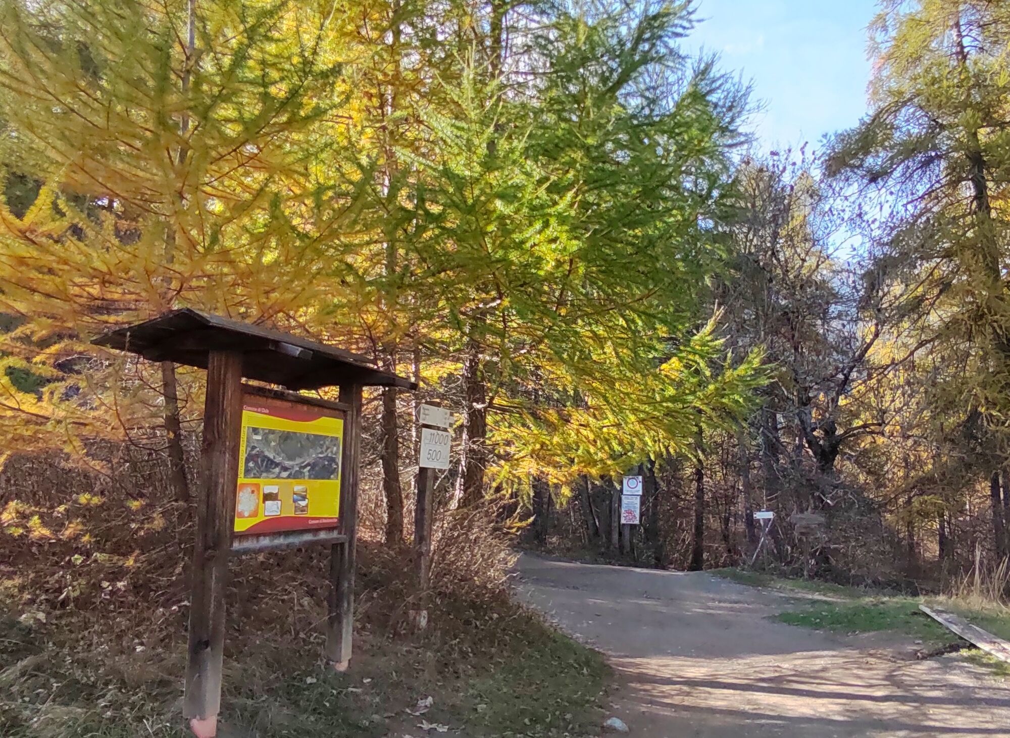
From the headquarters of the Gran Bosco Nature Park, we take an old mule track on the left. Going up the dirt road, we enter a mixed forest of birch, larch, lodgepole pine and spruce trees, past another fountain and the bridge over the Rio Gorge, we turn left until we reach the entrance to the Park.Arrived at the wooden notice board for the entrance to the Park, continuing along the carriageable dirt road we arrive at the Pinea picnic area, our route instead continues to the right following the signs for "nature trail" and "polygon lake," (Lake Orfù is so called because of the presence of a military polygon of the Taurinense Alpine Brigade). Thus we continue along the trail until we reach a junction where there is a bulletin board dedicated to the Trail of the Franks; here, we do not continue to the icehouse, but begin to climb into the coniferous forest. The trail continues uphill towards the municipality of Oulx, and the first section, about 300 meters is a bit steep, then it settles between ups and downs until it becomes almost flat. As you descend halfway down the slope into the pine forest, there are splendid panoramic views of Lake Orfù. After passing the junction, you descend to a small bridge over the Rio Gran Comba, here the trail continues along the Rio until you reach the hamlet of Gad, a small mountain hamlet.
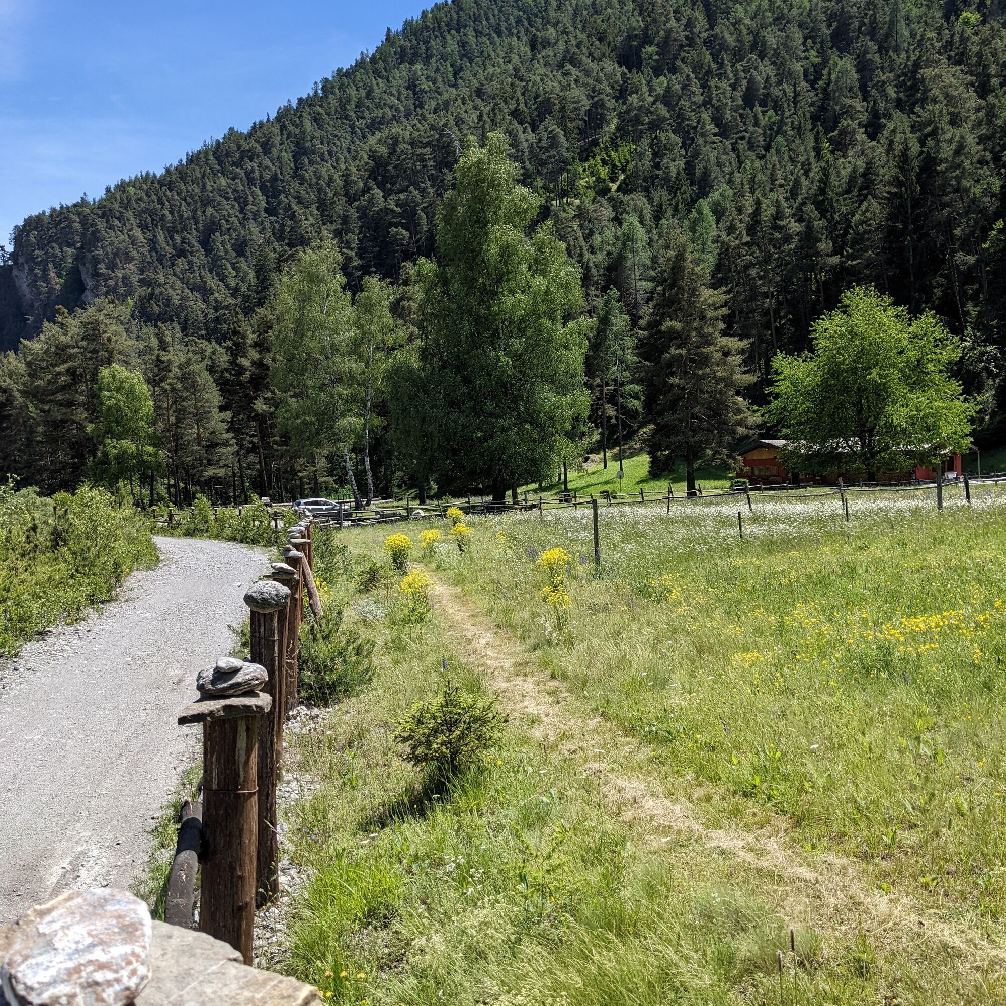
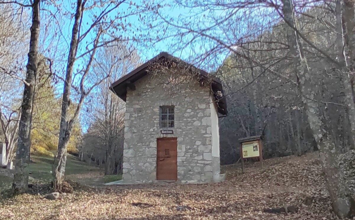
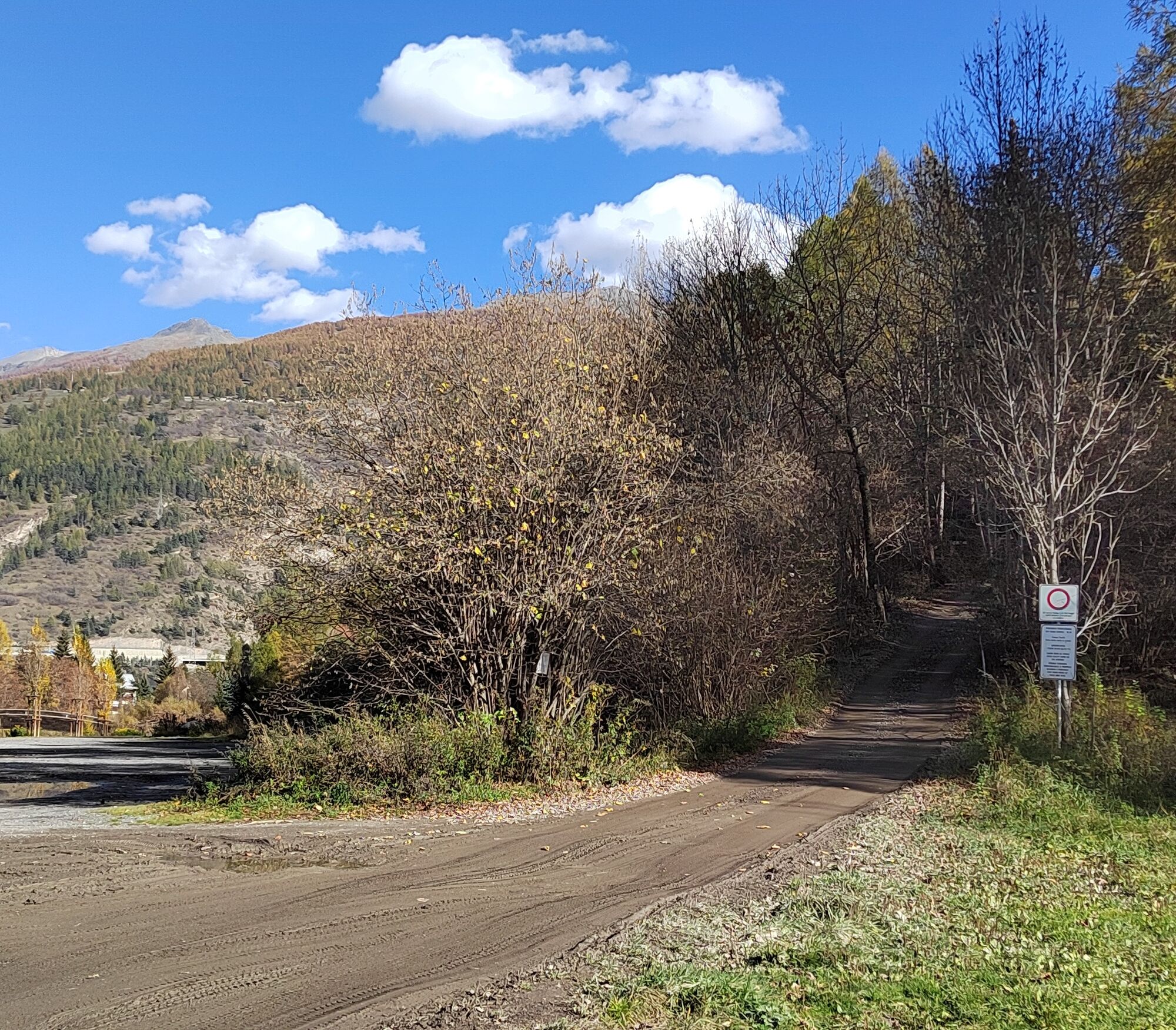
Crossing the hamlet of Gad, on a paved road, we walk along Via Riccardo Ghiotti quickly reaching State Road 24 also called Corso Torino, a section of our route coincides with it. When you reach the traffic circle, turn left in the direction of the town of Oulx, pass the commercial center le Baite until you reach the bridge over the Dora Riparia after a little more than a km. At the bridge, turn right and continue along Corso Ortigara. After about 680 m, just before the railway you turn left into Via Pellousiere, you first encounter the Green Lake, then the Emerald Lake, and soon the asphalt gives way to dirt road. Arriving near the highway, you pass under the junction and take the former Oulx - Beaulard cross-country ski trail. This is a flat dirt track that runs along the Dora di Bardonecchia, and partly along the highway. Shortly after an initial barrier, you come to the Madonna della Neve chapel, continue through the woods and after about 4.3 km you reach Beaulard. Past the campsite and the playground, taking Viale Pineta, you quickly reach the train crossing and continue left into Via del Mulino. Past the Al Vecchio Mulino restaurant the forest becomes less dense, leaving room for wide meadows. Continuing through the pine forest and skirting the river, between slight ups and downs, after about 4 km you reach a green iron footbridge near the locality of Rocca Tagliata. Here, after crossing the bridge on the left, we take the military dirt road, built in 1890 to reach Fort Bramafam. We follow many hairpin bends, pass the houses of Bersac at an altitude of 1318 m, the chapel dedicated to Saints Clare and Francis, until, after about 2 km, we reach a plateau where the dirt road forks, taking a right in a few minutes we reach Fort Bramafam; our route instead continues to the left.Passing the ruins of some old dwellings, a fountain and the chapel of Sant'Anna, we travel a short flat stretch and reach locality Quattro Strade. Our route continues straight to Campo Smith, reached in about ten minutes after a steep descent. Here we meet again a small group of houses in the locality of Vivier, where there is also a fountain.
Clothing suitable for the mountain environment and the season is recommended
A small part of the route is on an asphalt road, where motorized vehicles pass by. It is therefore recommended to pay special attention during the route
By car:
- State Road 24: Turin - Salbertrand
Once in Salbertrand, head to the headquarters of the Gran Bosco di Salbertrand Park.
or
- State Road 24: Turin - Oulx and then State Road 335: Oulx - Bardonecchia
Once in Bardonecchia, head towards Campo Smith
On foot:
- via the route called "Sentiero Italia" or "GTA"
By train:
- Turin Porta Nuova - Bardonecchia line with a stop in Salbertrand or Oulx or Bardonecchia
In Salbertrand near the park headquarters there is a parking lot.
In Oulx near the train station there is a parking lot
In Bardonecchia near Campo Smith there are several parking lots
From Italy Trail numerous routes branch off, ideal for hiking, mountain biking or snowshoeing, thus offering different options for exploring nature in all seasons.
It is also possible to travel the route only partially; the train from Turin stops at the stations of Salbertrand, Oulx, Beaulard and Bardonecchia.
Popular tours in the neighbourhood
-
5.0
BARDONECCHIA Decauville
lightHiking 7.29 km -
BARDONECCHIA Colle Sommeiller
mediumMountainbike 25.4 km -
5.0
BARDONECCHIA Lago Verde
mediumHiking 4.14 km -
4.5
BARDONECCHIA Sentiero Walter Bonatti - Grange della Rho
mediumHiking 6.12 km -
5.0
CESANA T.SE To Fenils (No. 48)
lightHiking 4.29 km -
BARDONECCHIA Punta Quattro Sorelle
heavyHiking 8.69 km -
5.0
BARDONECCHIA Col des Acles - Passo della Mulattiera
heavyHiking 6.57 km -
SESTRIERE Assietta Road
mediumMountainbike 43.3 km -
BARDONECCHIA Punta Colomion - Passo della Mulattiera - Pian del Colle Ring
heavyMountainbike 25.1 km -
BARDONECCHIA Rocce della Sueur - Tour jaune de Barabbas
mediumHiking 4.12 km
Hiking & Tracking


Don't miss out on offers and inspiration for your next holiday
Your e-mail address has been added to the mailing list.