


The route links Cesana Torinese with the hamlet of Vernin di Fenils (municipality of Cesana Torinese), from which it is less than 5 km away. It is therefore possible to combine the excursion with a visit...
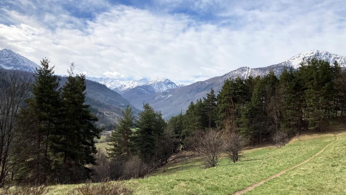
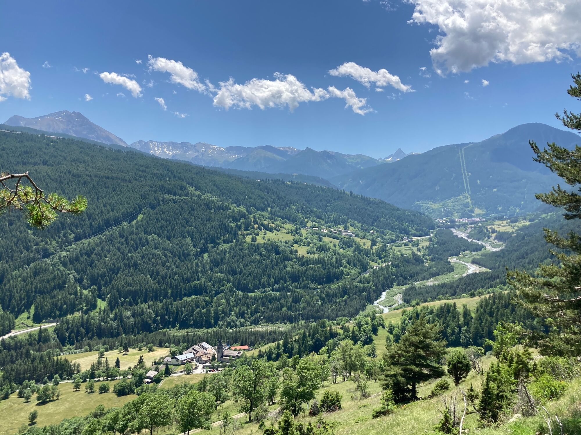
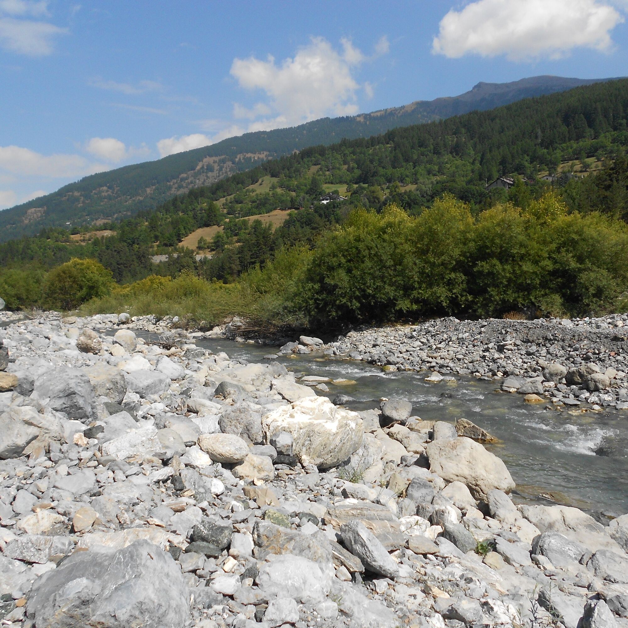
The route links Cesana Torinese with the hamlet of Vernin di Fenils (municipality of Cesana Torinese), from which it is less than 5 km away. It is therefore possible to combine the excursion with a visit to the old village of Cesana as well as Vernin, which represents the ancient core of Fenils and is home to a beautiful Gothic-style church dedicated to St Julian. Fenils in turn is located upstream of Vernin, nestling at the foot of Mount Chaberton; as well as being a pretty village, it also offers the possibility of dining at the 'La Gerla' agritourism farm, which serves typical local dishes. The excursion is very pleasant and interesting from a naturalistic point of view, crossing not only a mountain forest made up of a mixture of conifers, broad-leaved trees and all sorts of bushes, but also typical riparian vegetation, accompanying for a stretch the course of the Dora on its left bank.

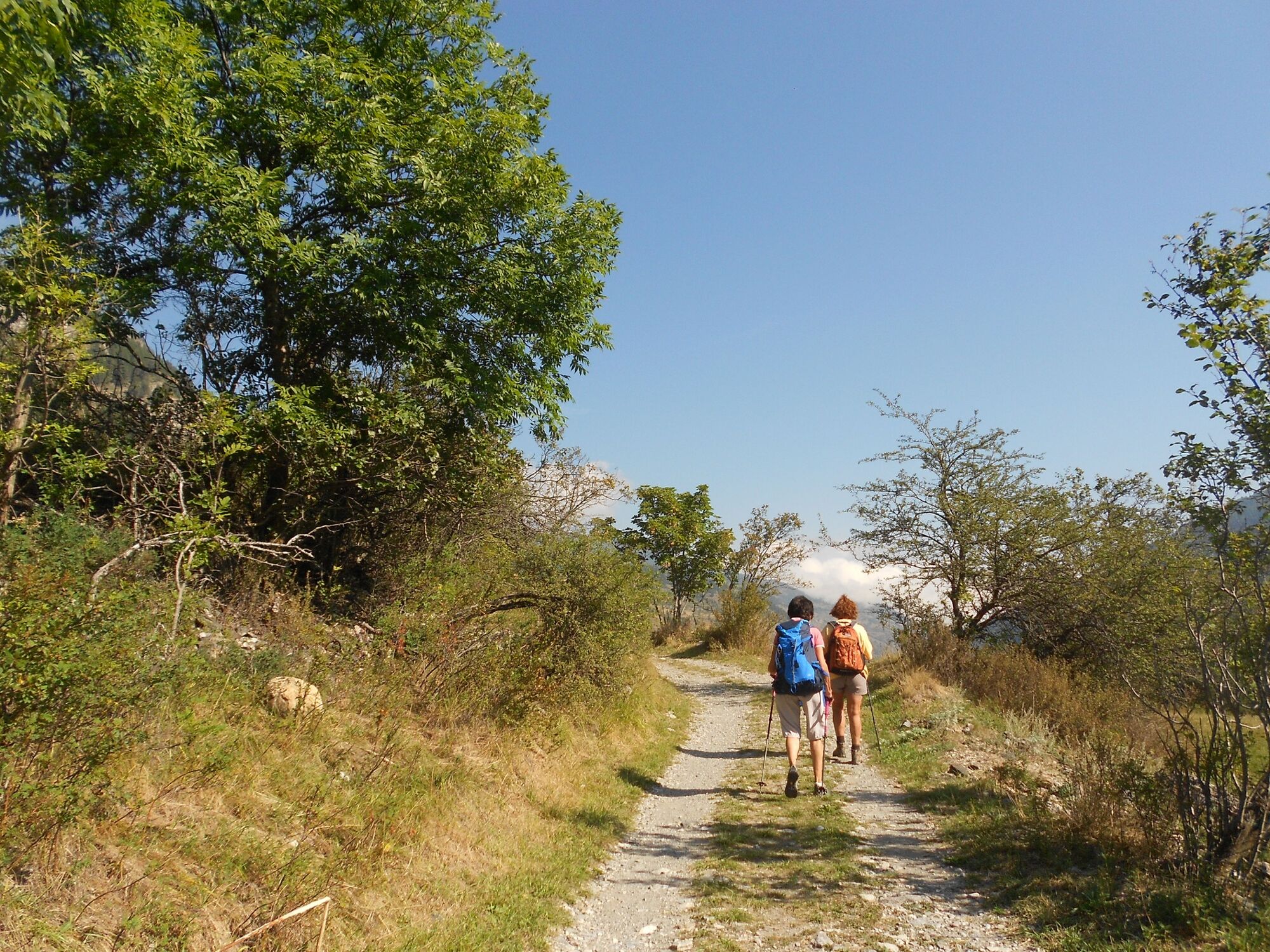
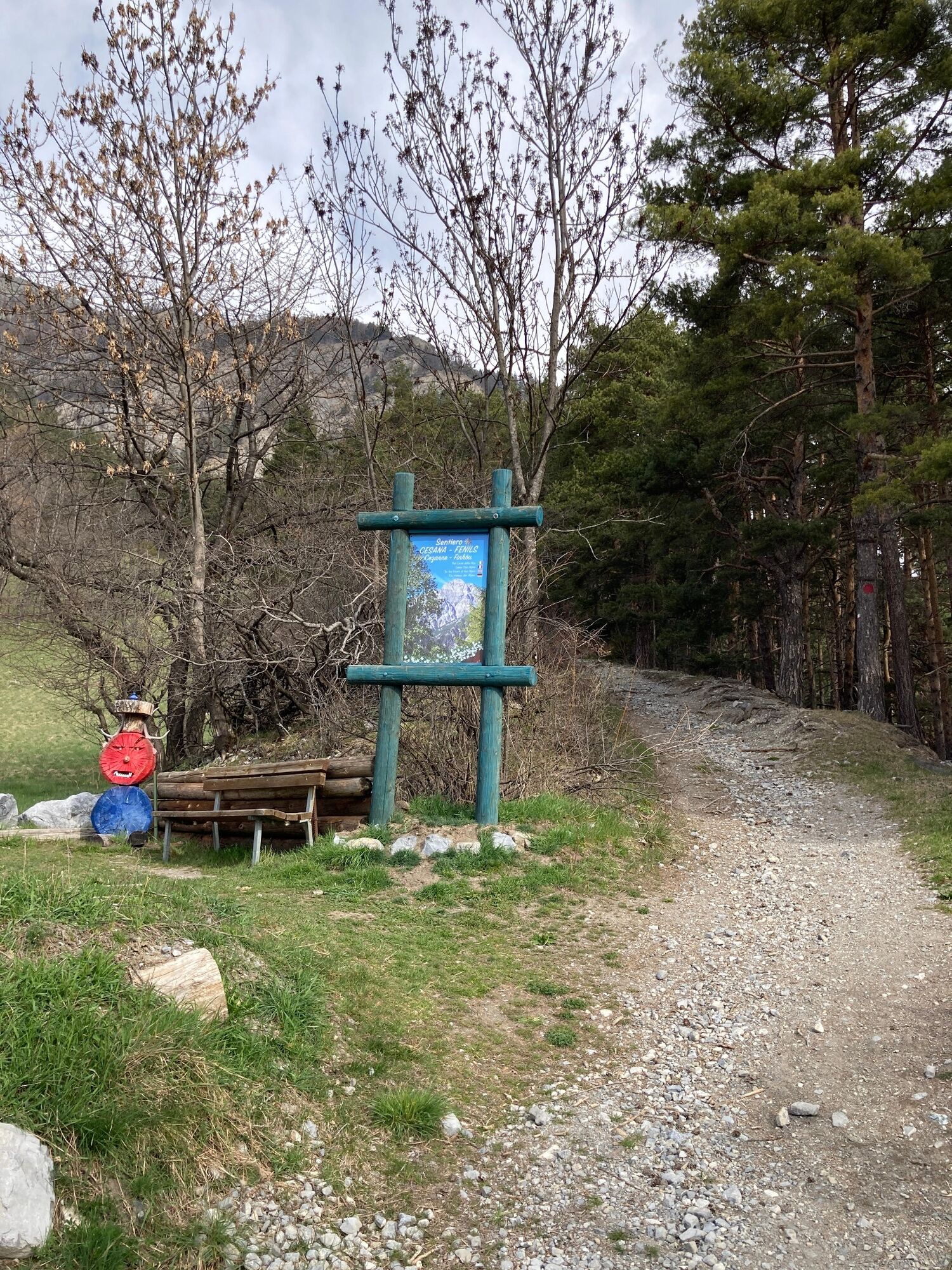
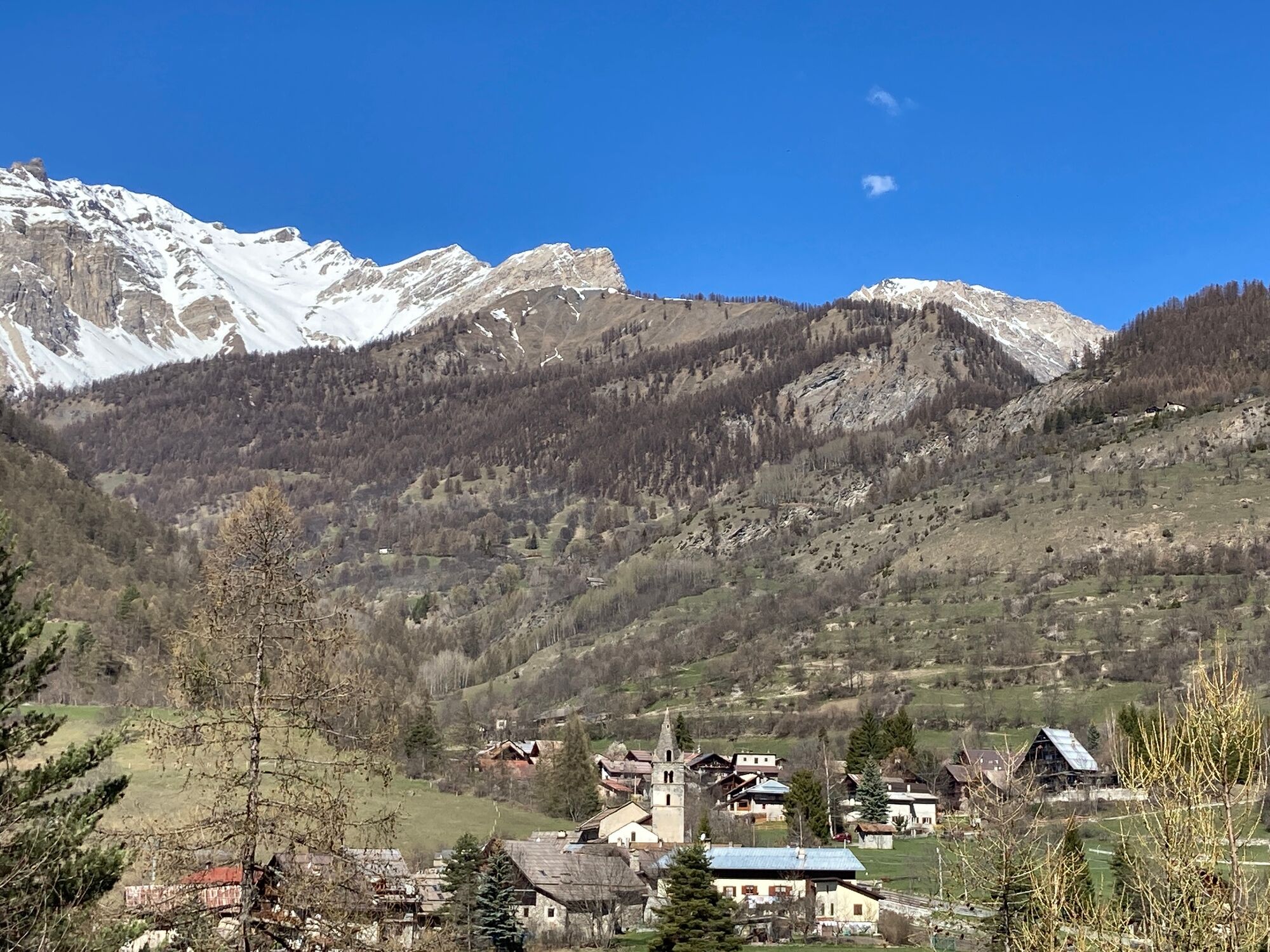
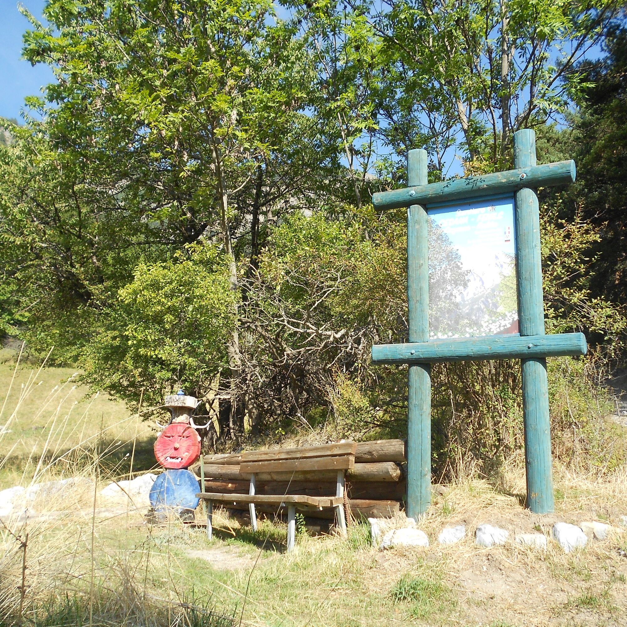
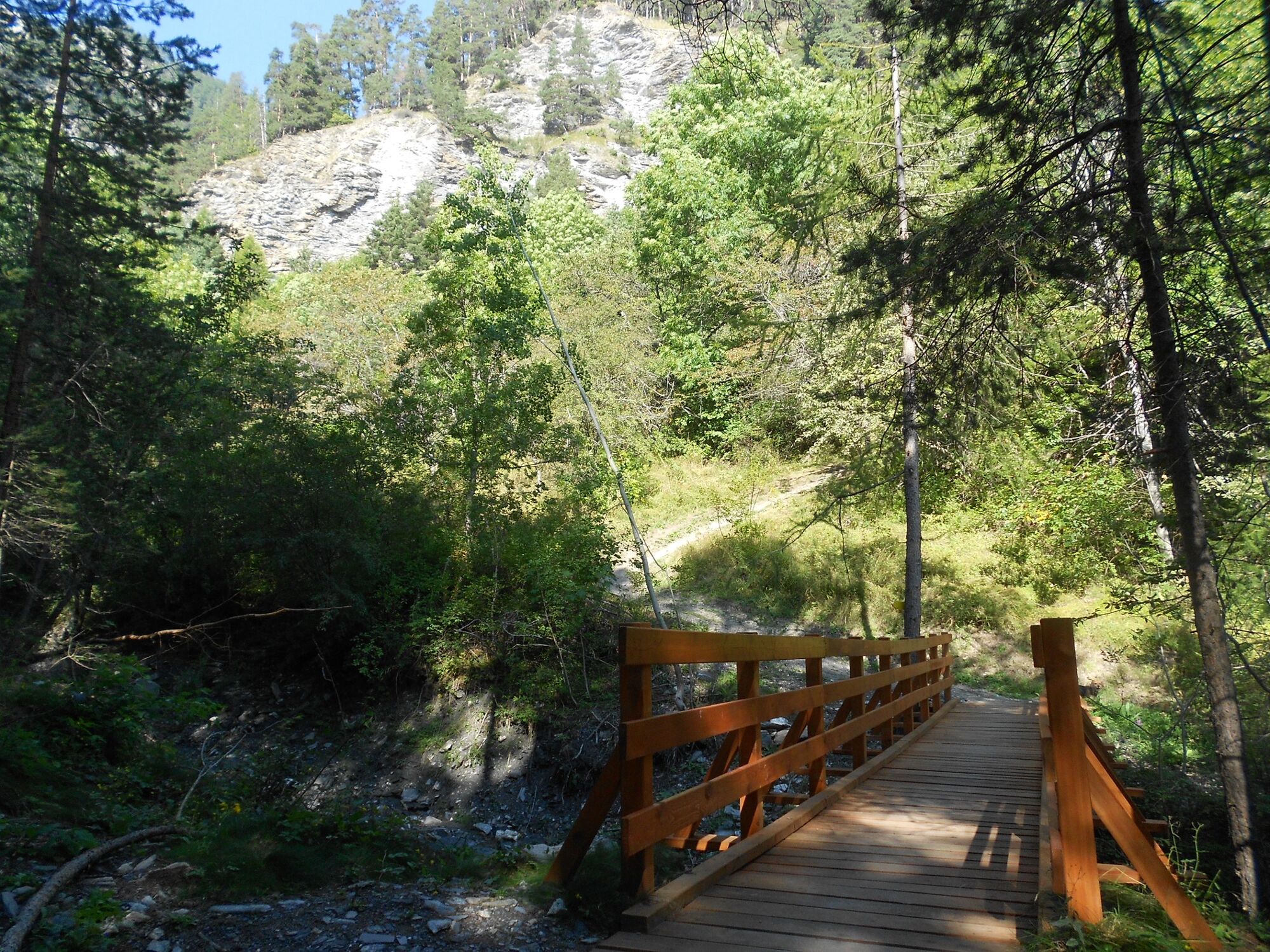
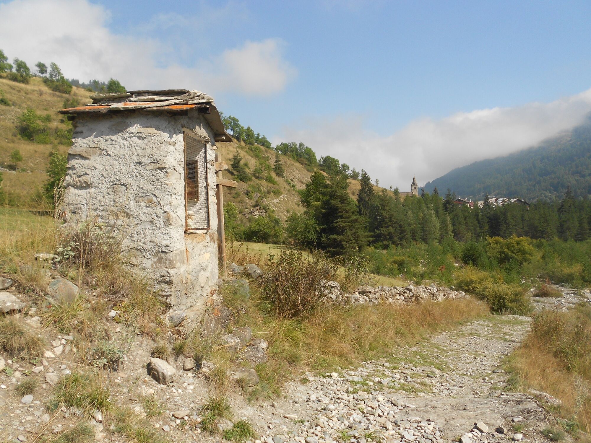
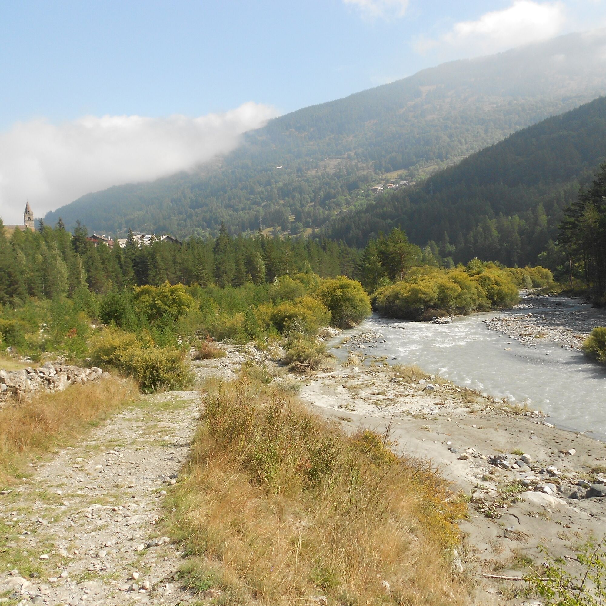
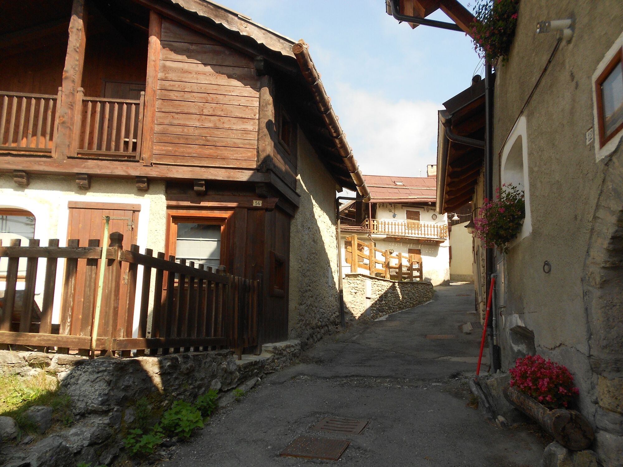
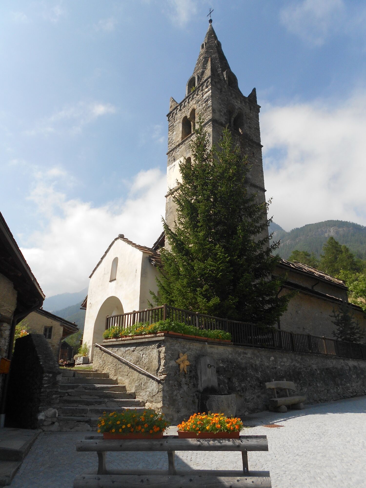

The route starts in Cesana Torinese near the small roundabout already towards Monginevro and France, and the Giardino delle Rocce, in front of which there is a large car park. It is necessary to cross the bridge over the Piccola Dora at an altitude of about 1,340 metres near the Edelweiss hotel and walk slightly uphill on the tarmac road for about 100 metres and then turn right onto Via Ferragut, skirting some abandoned barracks on the left, at the end of which the road splits and it is necessary to go straight on for another 100 metres or so along Via Carlo Ferragut until, once the tarmac road has ended, turn left onto the dirt road. You cross the Rio Malnet (which frequently dries up during the summer period) by a hairpin bend, and proceed pleasantly flat through a wood with a prevalence of broad-leaved trees; at an altitude of about mt. At an altitude of about 1360 metres, the dirt track gives way to a path near a notice board with an adjoining bench (in reality, there are two paths forking in the pine forest, one of which is adorned with coloured flags, but these can be taken either way as they join up again shortly afterwards). Approx. 1360 m.; immediately a short steep uphill stretch then descends again to reach, at an altitude of approx. 1340 m., a knoll with a notice board and bench. Descending again, after a couple of hairpin bends, we reach an altitude of 1,280 m. and, having travelled about 2.800 km from the start, the banks of the Dora Riparia River, which we begin to skirt, proceeding mainly through pine trees and a thick vegetation of willows. After about km. 3.600 from the start, we come to a fork: ignoring the one on the left that leads to Fenils borgo alto, take the one on the right; skirting the Dora Riparia, you pass the final point near a small pylon with a bench, from which Vernin is already visible, which you reach after a very short final climb along a narrow street through the hamlet and reaching the small square with the church of San Giuliano near the beautiful little bridge over the Rio Fenils, where the itinerary ends.
If you want to reach Fenils to visit the hamlet or have a meal at the agritourism, just go up the tarmac road to the left for about 500 metres.
Yes
Wear clothing and footwear appropriate to the environment and season.
The route includes a section in close contact with the river, so it is necessary to assess the possible danger in the event of heavy rain or thawing periods.
By car from Turin, follow signs for Tangenziale Nord in the direction of Trafori - Frejus.
Take the A32 motorway towards Bardonecchia and exit at Oulx -Monginevro-Sestriere.
Continue on the main road towards Cesana Torinese
Parking possibilities around Piazza Vittorio Amedeo, or in the large car park in front of the Giardino delle Rocce
- Before embarking on any excursion, it is advisable to consult weather bulletins or ask the local tourist offices for information.
- It is good practice not to undertake a hike alone, always inform yourself of your destination.
- Do not throw rubbish into the environment but take it with you, collecting any rubbish left by others.
- The hiking times given are approximate and may vary depending on weather conditions and your own abilities.
Fountains in the centre of Cesana and in front of the Fenils bakery
Tasting of typical dishes at the La Gerla farmhouse in the hamlet of Fenils. If you are interested in the stage, it is advisable to make contact with the refreshment stop before embarking on the hike
Popular tours in the neighbourhood
- 5.0
BARDONECCHIA Col des Acles - Passo della Mulattiera
heavyHiking6.57 km - 5.0
BARDONECCHIA Forte Jafferau Ring
heavyMountainbike36.8 km BARDONECCHIA Punta Colomion - Passo della Mulattiera - Pian del Colle Ring
heavyMountainbike25.1 kmBARDONECCHIA Rocce della Sueur - Tour jaune de Barabbas
mediumHiking4.12 kmCESANA T.SE Val Thuras Valley
mediumHiking7.58 kmLa Via dei Saraceni (Sauze d'Oulx)
mediumMountainbike33.6 kmBARDONECCHIA Punta Colomion - Puys - Beaulard Ring
mediumMountainbike24.7 kmCESANA T.SE Thures - Cima Bosco
mediumHiking10.6 kmSentiero Italia: Salbertrand - Bardonecchia
mediumHiking19.5 kmVal Thuras and Tornior bivacco (Cesana T.se)
mediumMountainbike37.5 km
Hiking & Tracking


Don't miss out on offers and inspiration for your next holiday
Your e-mail address has been added to the mailing list.