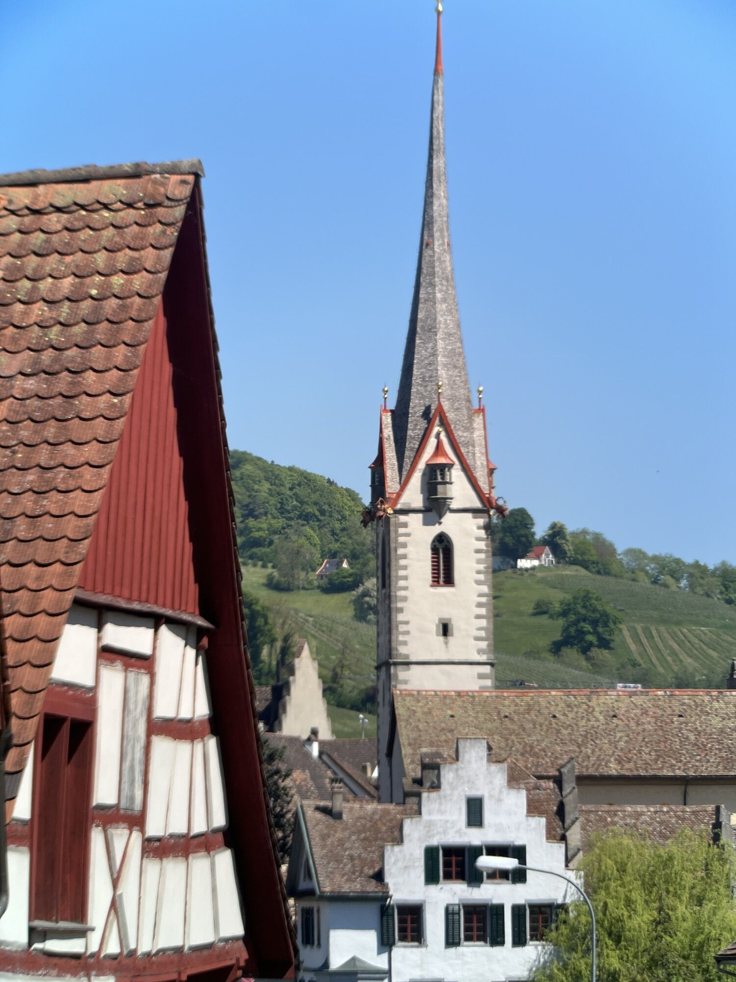
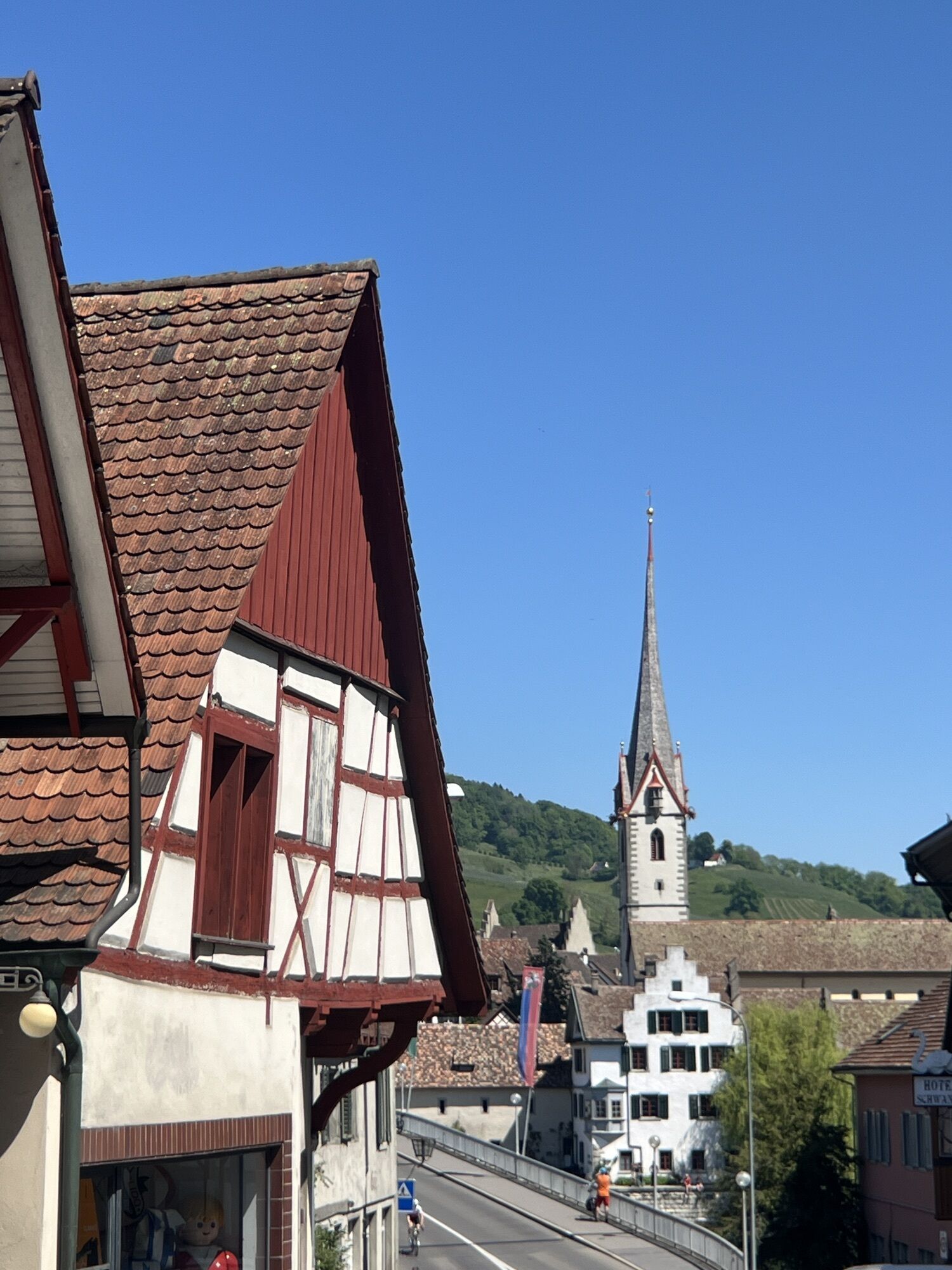
Etzwilen - Schweizerhof - Rheinklingen
medium
Navigate
Navigate
Get this tour on your mobile
Etzwilen - Schweizerhof - Rheinklingen
medium
Cycling
30.03
km
Scan the QR code and start navigation in the bergfex app

Hiking & Tracking


Distance
30.03
km
Duration
01:42
h
Ascent
240
m
Sea level
397 -
446
m
Track download
Etzwilen - Schweizerhof - Rheinklingen
medium
Cycling
30.03
km


Route
Rheinklingen
(409 m)
Village
1.9 km
Petersburg
(418 m)
Settlement
8.2 km
Petersburg
(418 m)
Settlement
12.8 km
Wagenhausen
(411 m)
Village
19.8 km
Stein am Rhein
(413 m)
Village
20.5 km
Wagenhausen
(411 m)
Village
27.3 km
Kaltenbach
(442 m)
Village
28.3 km
Route
Etzwilen - Schweizerhof - Rheinklingen
medium
Cycling
30.03
km
Etzwilen
(438 m)
Railway station
0.0 km
Schweizerhof
(438 m)
Restaurant
0.1 km
Rheinklingen
(409 m)
Village
1.9 km
Hemishofen
(401 m)
Village
4.9 km
Restaurant Bacchus
(416 m)
Restaurant
5.0 km
Petersburg
(418 m)
Settlement
8.2 km
Ramsen
(420 m)
Railway station
8.6 km
Wiesholz
(427 m)
Settlement
9.7 km
Ramsen
(420 m)
Railway station
12.4 km
Petersburg
(418 m)
Settlement
12.8 km
Hemishofen
(401 m)
Village
16.1 km
Restaurant Bacchus
(416 m)
Restaurant
16.2 km
Brühl
(408 m)
Playground
19.5 km
Wagenhausen
(411 m)
Village
19.8 km
Stein am Rhein
(413 m)
Village
20.5 km
Eschenz
(411 m)
Village
23.0 km
Bahnhof
(418 m)
Restaurant
23.1 km
Eschenz
(417 m)
Railway station
23.1 km
Stein am Rhein
(413 m)
Railway station
26.7 km
Wagenhausen
(411 m)
Village
27.3 km
Chlingeriet
(415 m)
Corridor/terrain
27.7 km
Kaltenbach
(442 m)
Village
28.3 km
Etzwilen
(437 m)
Village
30.0 km
No reviews yet
Popular tours in the neighbourhood
-
3.7
Firstweg Langenmos
mediumHiking 5.76 km -
Hike on the panorama route of the Höri Peninsula
mediumHiking 8.11 km -
Stein am Rhein - Hohenklingen Castle - Stein am Rhein
heavyHiking 7.79 km -
Wangener Bänkleweg 2 West
mediumHiking 7.54 km -
5.0
"Hegauer Kegelspiel" Hohentwieler
mediumHiking 7.21 km -
5.0
Höri Experience Path Wangen - Hemmenhofen (return by boat)
mediumHiking 9.53 km -
Cross-border adventure trail Öhningen - Stein am Rhein
mediumHiking 7.49 km -
Volcano - Enjoy Hegau - On the tracks of the world champions! 50 km
mediumMountainbike 49.5 km -
"Hegauer Kegelspiel" Hegau Volcano Tour
heavyHiking 29.2 km -
Around the Höri peninsula, start from Wangen
lightCycling 35.6 km

Hiking & Tracking

Over 550.000 tour suggestions, detailed maps and an intuitive route planner make the app a must-have for all nature enthusiasts.

Don't miss out on offers and inspiration for your next holiday
Subscribe to the newsletter
Error
An error has occurred. Please try again.
Thank you for your registration
Your e-mail address has been added to the mailing list.
Tours throughout Europe
Austria
Switzerland
Germany
Italy
Slovenia
France
Netherlands
Belgium
Poland
Liechtenstein
Czechia
Slovakia
Spain
Croatia
Bosnia and Herzegovina
Luxembourg
Andorra
Portugal
Iceland
United Kingdom
Ireland
Greece
Albania
North Macedonia
Malta
Norway
Montenegro
Moldova
Kosovo
Hungary
San Marino
Romania
Estonia
Latvia
Belarus
Cyprus
Lithuania
Serbia
Bulgaria
Monaco
Denmark
Sweden
Finland