Tamina Gorge trail 412
light
Running 4.0
Navigate
Navigate
Get this tour on your mobile
Map
Tamina Gorge trail 412
light
Running
5.60 km
Scan the QR code and start navigation in the bergfex app
QR Code
Hiking & Tracking
Hiking & Tracking

Tamina Gorge trail 412

Distance
5.60 km
Duration
01:30 h
Ascent
145 m
Sea level
502 - 690 m
Track download
Map
Tamina Gorge trail 412
light
Running
5.60 km

The starting point for this 5.9 km trail is the information point at the Bad Ragaz station near the Giessenpark outdoor pool (503 m above sea level). Like the Giessenpark Trail, the Tamina Gorge Trail...


Description of the

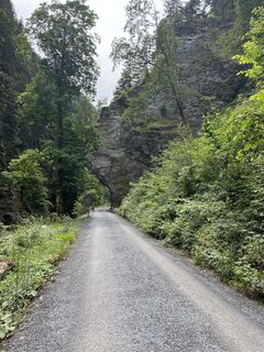
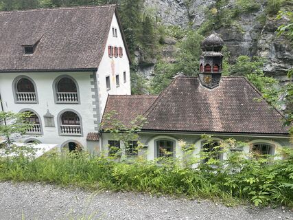
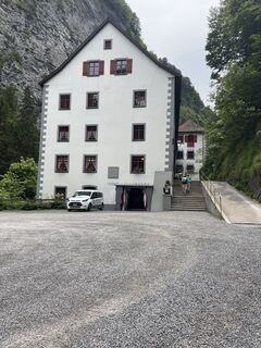
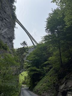
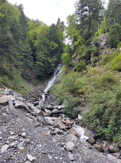
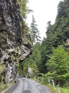
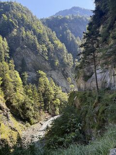
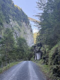
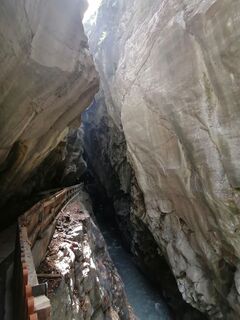
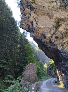
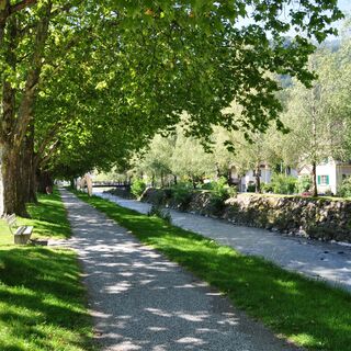
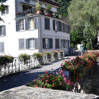
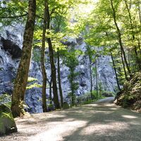
The starting point for this 5.9 km trail is the information point at the Bad Ragaz station near the Giessenpark outdoor pool (503 m above sea level). Like the Giessenpark Trail, the Tamina Gorge Trail first runs along the Tamina through the romantic mixed forest and past a mighty avenue of beech trees to the entrance to the village of Bad Ragaz (514). In the village itself, the trail first crosses the Tamina and leads through picturesque alleyways to the entrance to the Badtobel ravine on the southern edge of the village. Flanked by imposing rock faces, the trail meanders along the Tamina through partly dense forest, past numerous waterfalls and various types of vegetation, to the Alter Bad Pfäfers (680), where the trail ends and just behind it is the entrance to the mystical Tamina Gorge. The Tamina Gorge Trail is particularly recommended on hot days. Shady sections and the cool stream air in the ravine make for a refreshing running experience.

Route
Bad Ragaz
(516 m)
Village
1.4 km
Altes Bad Pfäfers
(700 m)
Corridor/terrain
5.5 km
Route
Map
Tamina Gorge trail 412
light
Running
5.60 km
Bad Ragaz
(516 m)
Village
1.4 km
Altes Bad Pfäfers
(700 m)
Corridor/terrain
5.5 km
Description of the

The outdoor fitness trails in the holiday region Heidiland comprise more than 30 uniformly signposted walking paths from a total of 10 stations and thus form one of the largest open-air fitness parks in the Alpine region. The Taminaschlucht-Trail is one of four walking trails around Bad Ragaz.

Technology
n.a.
Condition
2 / 6
Landscape
5 / 6
Experience
5 / 6
Best time of year
Jan
Feb
Mar
Apr
May
Jun
Jul
Aug
Sep
Oct
Nov
Dec
Author
Provided by Heidiland Tourismus
The tour Tamina Gorge trail 412 is provided by outdooractive.com.
Logo
Share tour
Map
Tamina Gorge trail 412
light
Running
5.60 km
Error
An error has occurred. Please try again.
Last tracked 2 weeks ago
Route information
Route

Giessenpark Bad Ragaz - Bad Ragaz - Badtobel - Altes Bad Pfäfers

Equipment

Good and comfortable jogging equipment.

Arrival information
Arrival

Take the highway exit Bad Ragaz, then follow the signs to Giessenpark.

Parking

Public parking spaces available at Giessenpark (subject to charge)

Additional information & tips
Additional information

Heidiland Tourism
Info point Bad Ragaz
T +41 81 300 40 20
www.heidiland.com

Tips

Visit the world-famous Tamina Gorge (admission CHF 5.-) and the Old Baths Museum in Pfäfers.

Valuations
4.0
5
(1)
4
(1)
3
(1)
2
(0)
1
(0)
5
(1)
4
(1)
3
(1)
2
(0)
1
(0)
Write a review

Reviews help other users choose their next adventure. Please only rate the tour, not the weather or your snack.

Select one of the stars to rate the tour
Bad tour
Weak tour
Mediocre tour
Good tour
Excellent tour
bergfex logo Get the insight Always live on site with over 9,500 webcams. As a Pro user, you can now see the corresponding webcams for many tours in the tours app from bergfex. This allows you to view the current conditions directly.
Hiking & Tracking

Hiking & Tracking

Hiking & Tracking
Over 550.000 tour suggestions, detailed maps and an intuitive route planner make the app a must-have for all nature enthusiasts.
Hiking & Tracking