


Level of difficulty: 2


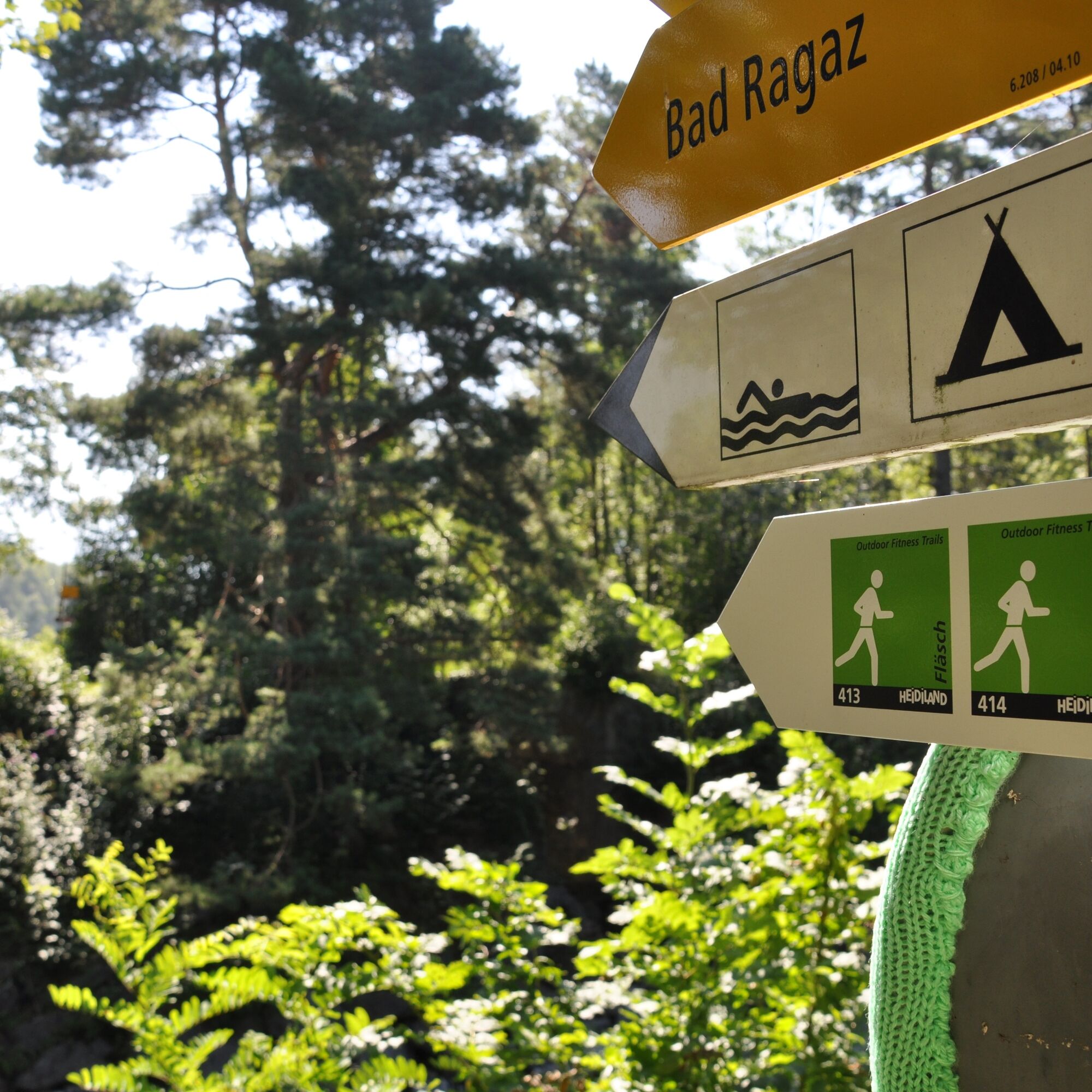
The Outdoor Fitness Trails in the Heidiland vacation region comprise over 30 uniformly signposted running trails from a total of 10 stations, forming one of the largest outdoor fitness parks in the Alps....
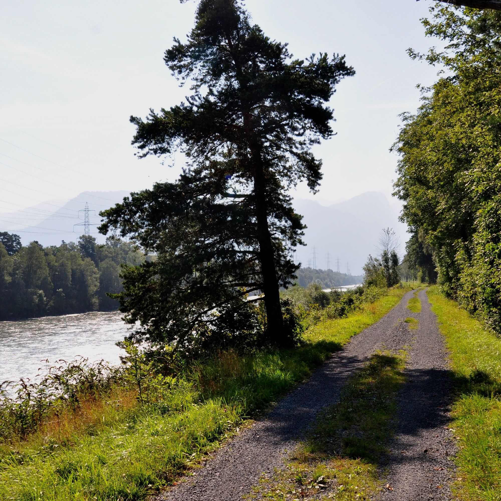
The Outdoor Fitness Trails in the Heidiland vacation region comprise over 30 uniformly signposted running trails from a total of 10 stations, forming one of the largest outdoor fitness parks in the Alps. The Rhine Trail is one of four running trails around the Bad Ragaz station.
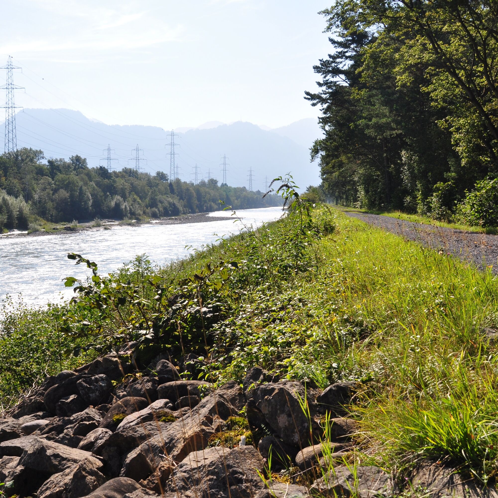
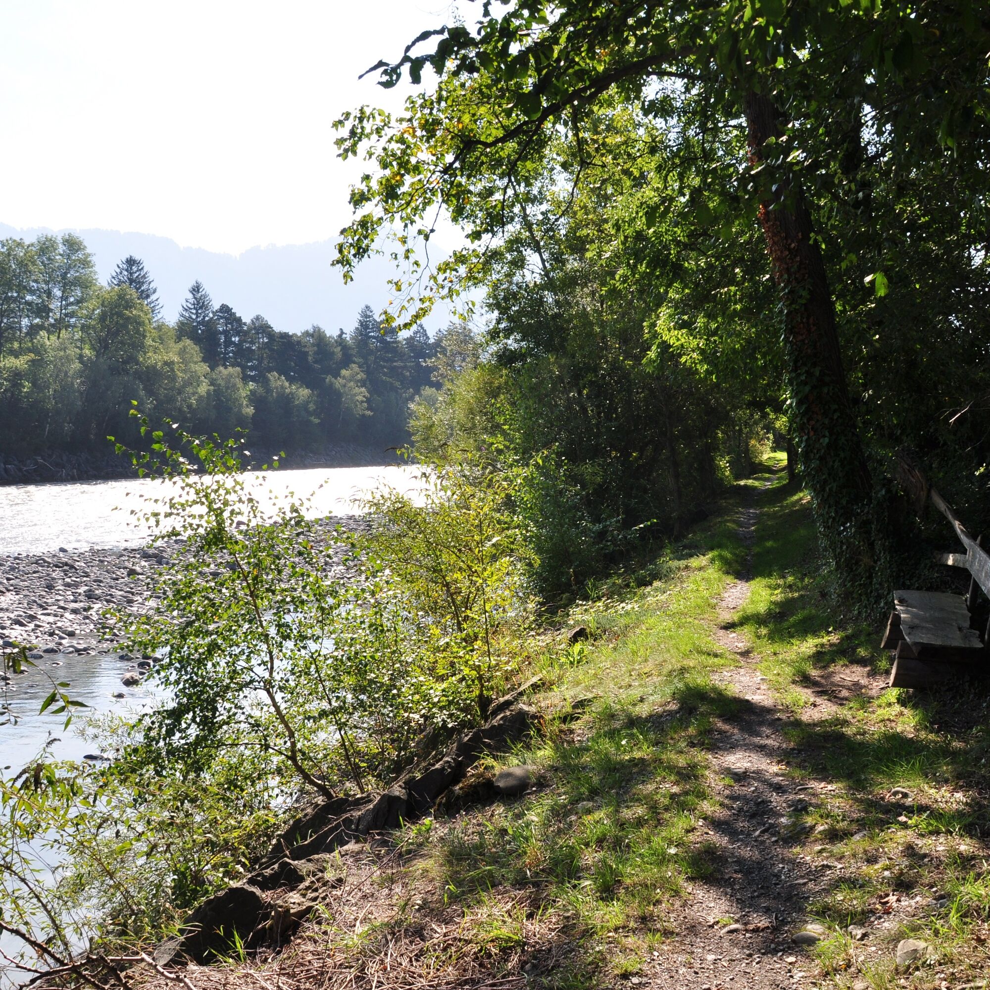
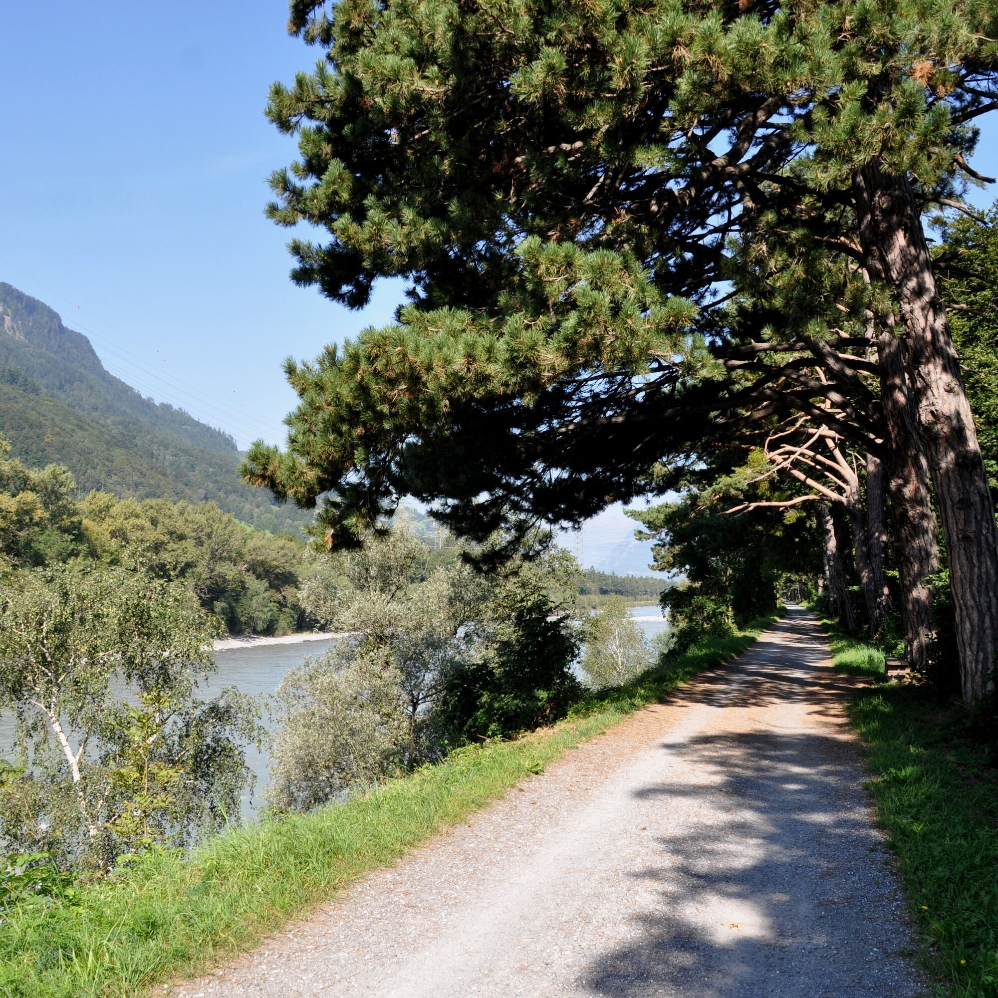
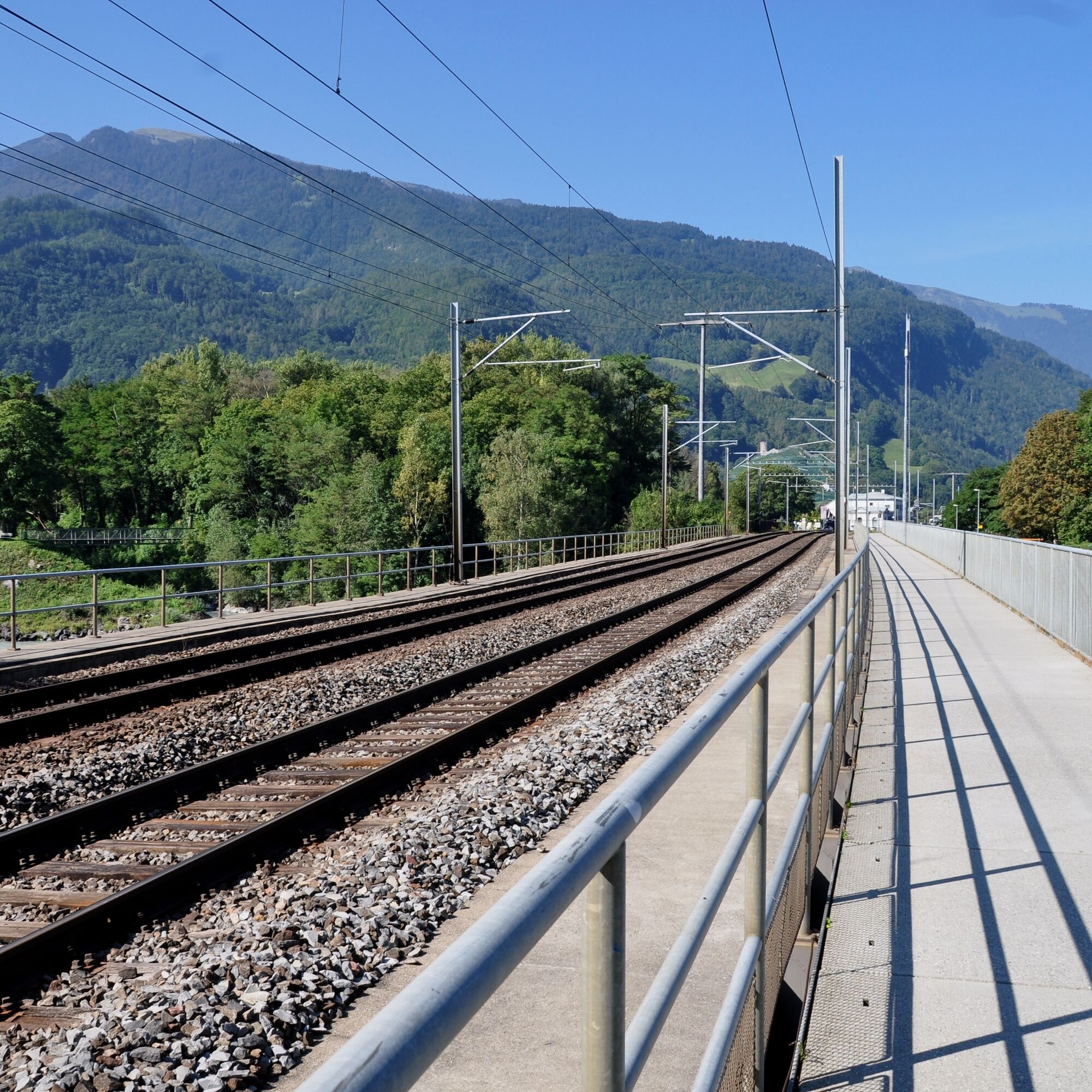
The starting point for this 11.1 km long trail is the info point at the Bad Ragaz station near the Giessenpark outdoor pool (503 m above sea level). For the first few meters, the trail runs along a wide and well-maintained gravel path through the forest to the Rhine. From there, the trail crosses the main road and then runs almost dead straight along the Rhine embankment and the edge of the forest to the Tardis bridge near Landquart (521). As soon as you have crossed the bridge, you head back towards Bad Ragaz on the other side of the Rhine. On this side of the Rhine, the road is firmer and even paved in places, making it very popular with cyclists. As the path is a few meters away from the water, it runs through the middle of a romantic mixed forest. However, the view of the Rhine is never completely blocked! After crossing the main road that connects Bad Ragaz with Maienfeld once again, the trail continues along the embankment to the level crossing at the Heidiland service station (504) The path is somewhat narrower and the forest denser on this section. Once you have crossed the Rhine, there is a short tarred section on the road leading into the village. As soon as you cross the railroad bridge, however, the trail turns back into the forest and you return to the info point at the Giessenpark outdoor pool via the Rhine dam.

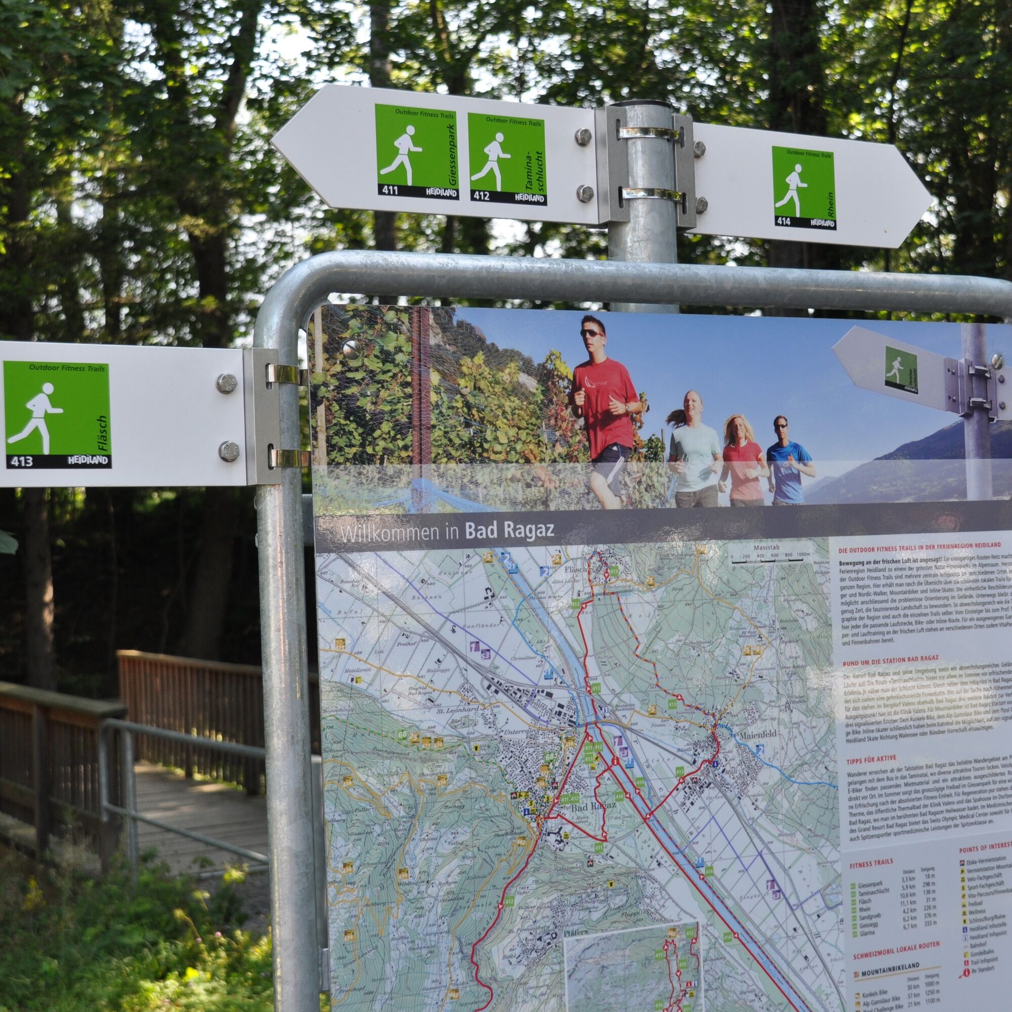
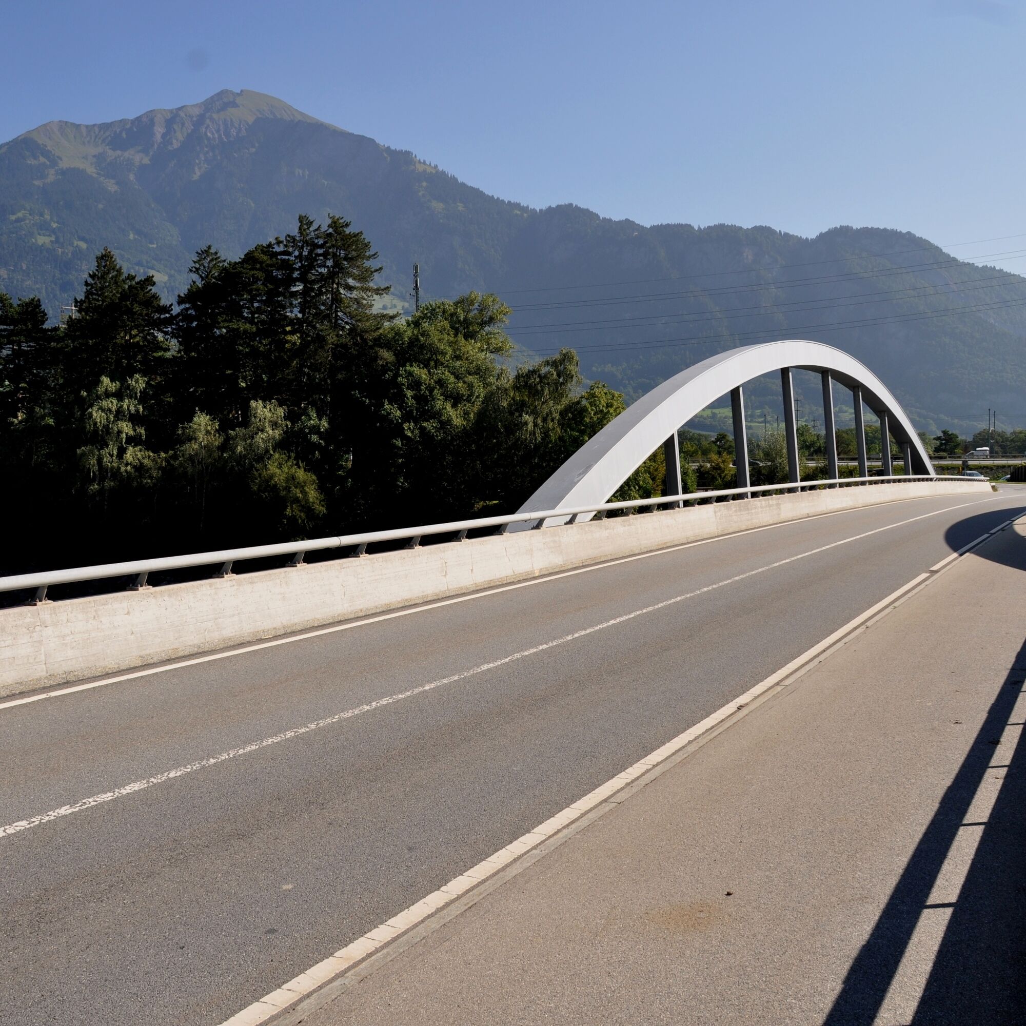
Giessenpark - Tardisbrücke - level crossing - Giessenpark
Normal jogging equipment, sturdy and comfortable shoes.
Depending on the weather, some sections may be slippery.
In addition, the highway has to be traversed at one point near Bad Ragaz, so special care is required.
Take the Bad Ragaz freeway exit, drive through the village center and continue on Fläscherstrasse to the bridge, after crossing which you come directly to Giessenpark.
Take the train to Bad Ragaz and then walk from the station to Giessenpark.
There is a paid parking lot at the Giessenpark restaurant.
2
Heidiland Tourism, Bad Ragaz information point
T +41 81 300 40 20
www.heidiland.com
Order hiking map HEIDILAND: www.heidiland.com/de/aktivitaeten-erlebnisse/sommer/wandern-klettern/wanderkarte-heidiland
Most of the Outdoor Fitness Trails run along official hiking trails. The hiking trail signage therefore also helps with orientation along the way.
Webcams of the tour
Popular tours in the neighbourhood
-
4.5
Princess Gina Trail
mediumHiking 12.0 km -
4.8
From Malbun to Schönberg mountain
mediumHiking 12.4 km -
4.6
5-Seen Wanderung am Pizol
lightHiking 10.1 km -
4.6
Mountain hut Alvier
mediumHiking 3.33 km -
4.6
Pizol - Batöni - Weisstannen
heavyHiking 11.7 km -
4.5
On to the Falknis
heavyHiking 18.2 km -
4.3
Tamina Gorge round tour
mediumHiking 14.0 km -
4.8
Wanderung von Sareis über den Augstenberg und die Pfälzerhütte nach Malbun
mediumHiking 10.5 km -
Vilan round tour
heavyHiking 12.2 km -
4.5
Bad Ragatz mit Taminaschlucht nach Pfäffers
mediumHiking 16.3 km
Hiking & Tracking


Don't miss out on offers and inspiration for your next holiday
Your e-mail address has been added to the mailing list.