Staré Město Běžecké lyžování – klasický styl
medium
Navigate
Navigate
Get this tour on your mobile
Staré Město Běžecké lyžování – klasický styl
medium
Cross-country skiing
15.92
km
Scan the QR code and start navigation in the bergfex app

Hiking & Tracking


Distance
15.92
km
Duration
03:04
h
Ascent
573
m
Sea level
807 -
1,034
m
Track download
Staré Město Běžecké lyžování – klasický styl
medium
Cross-country skiing
15.92
km


Route
Větrov
(919 m)
Summit
1.0 km
Paprsek
(1,012 m)
Corridor/terrain
3.3 km
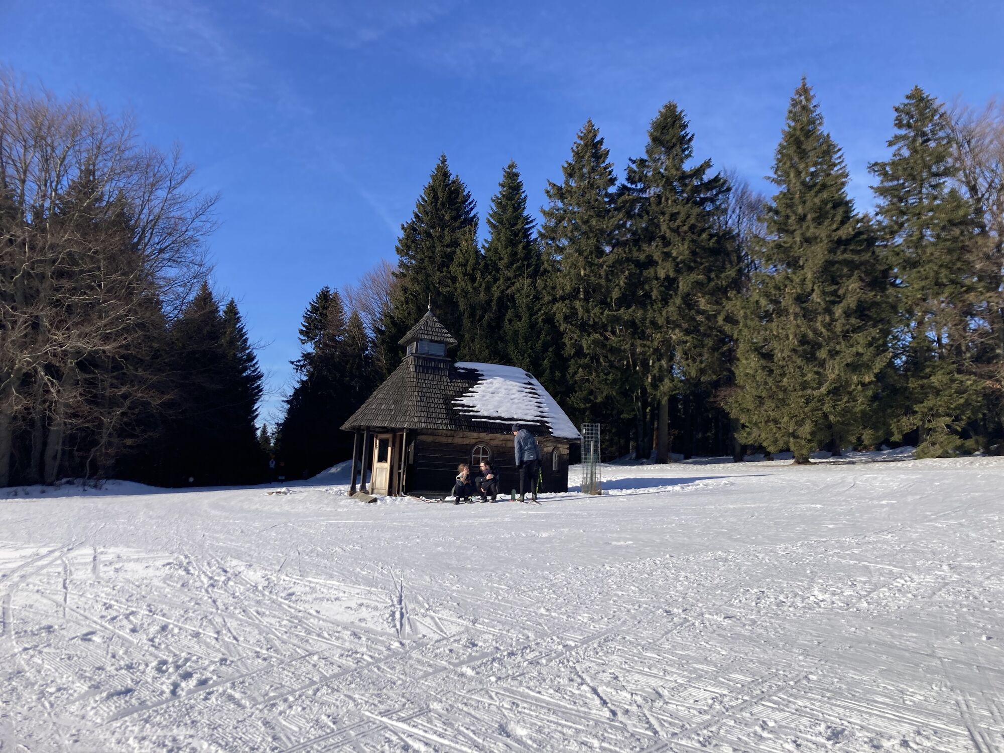
Kaplička
(1,012 m)
Place of worship
3.5 km
Kunzenkamm
(1,000 m)
Corridor/terrain
4.5 km
Palaš
(1,025 m)
Summit
12.1 km
Kaplička
(1,012 m)
Place of worship
12.8 km
Velké Vrbno
(764 m)
Village
15.5 km
Route
Staré Město Běžecké lyžování – klasický styl
medium
Cross-country skiing
15.92
km
Větrov
(919 m)
Summit
1.0 km
Paprsek
(1,012 m)
Corridor/terrain
3.3 km
Kaplička
(1,012 m)
Place of worship
3.5 km
Wolfswiesen
(1,015 m)
Corridor/terrain
3.8 km
Kunzenkamm
(1,000 m)
Corridor/terrain
4.5 km
U pramene
(1,026 m)
Corridor/terrain
8.5 km
Palaš
(1,025 m)
Summit
12.1 km
Paprsek
(1,012 m)
Corridor/terrain
12.7 km
Kaplička
(1,012 m)
Place of worship
12.8 km
Velké Vrbno
(764 m)
Village
15.5 km


Route information
Route
Sjezd k Medvědí chatě dlouhý a náročnější
No reviews yet
Popular tours in the neighbourhood
-
Longest footbridge in Europe
lightHiking 8.95 km -
Śnieżnik maj 2025
mediumHiking 10.4 km -
Sky high
lightHiking 8.95 km -
Hreben DM
mediumSki tour 27.2 km -
The Great Schengen Czech-Polish route
lightCross-country skiing 28.3 km -
Králíky - Kralický Sněžník - Stříbrnice
mediumHiking 26.0 km -
Stříbrnice - Paprsek
lightHiking 13.6 km -
Paprsek - Horní Lipová
lightHiking 15.8 km -
Śnieżnickie mchy
lightHiking 17.2 km -
5.0
Wodospad Wilczki - Kościół Św. Józefa Oblubieńca NMP - Na Śnieżniku - Králický Sněžník / Śnieżnik
heavyHiking 18.9 km

Hiking & Tracking

Over 550.000 tour suggestions, detailed maps and an intuitive route planner make the app a must-have for all nature enthusiasts.

Don't miss out on offers and inspiration for your next holiday
Subscribe to the newsletter
Error
An error has occurred. Please try again.
Thank you for your registration
Your e-mail address has been added to the mailing list.
Tours throughout Europe
Austria
Switzerland
Germany
Italy
Slovenia
France
Netherlands
Belgium
Poland
Liechtenstein
Czechia
Slovakia
Spain
Croatia
Bosnia and Herzegovina
Luxembourg
Andorra
Portugal
Iceland
United Kingdom
Ireland
Greece
Albania
North Macedonia
Malta
Norway
Montenegro
Moldova
Kosovo
Hungary
San Marino
Romania
Estonia
Latvia
Belarus
Cyprus
Lithuania
Serbia
Bulgaria
Monaco
Denmark
Sweden
Finland