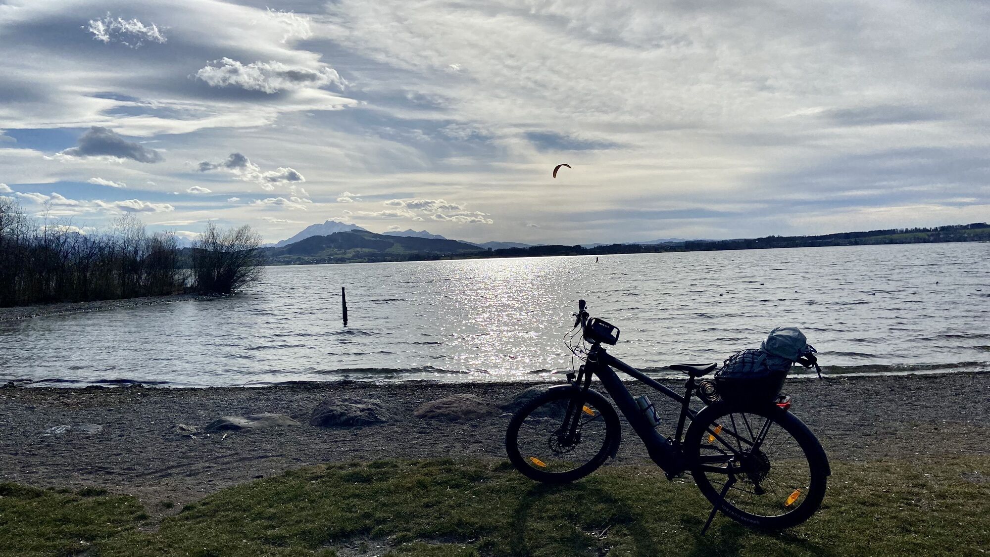
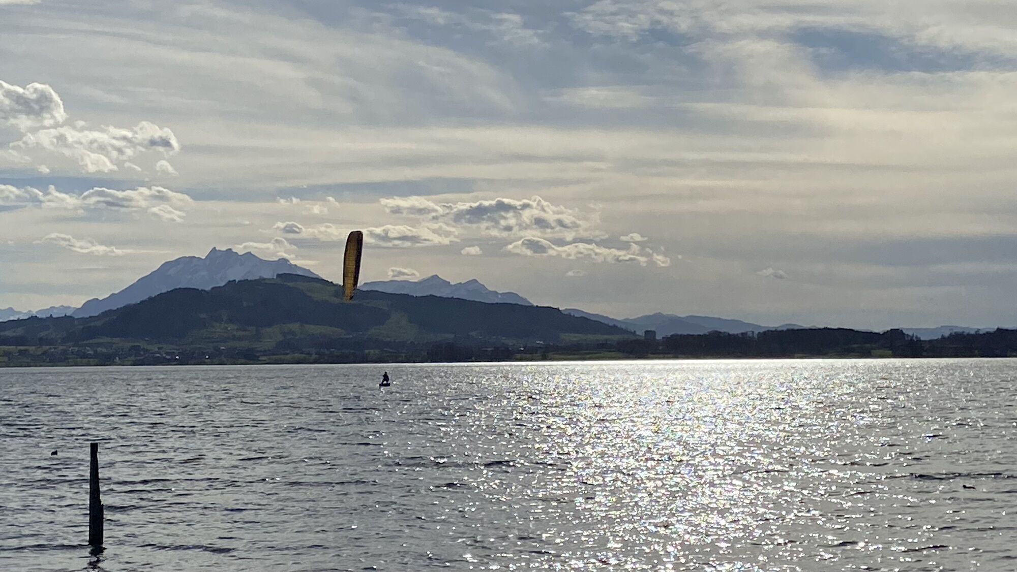
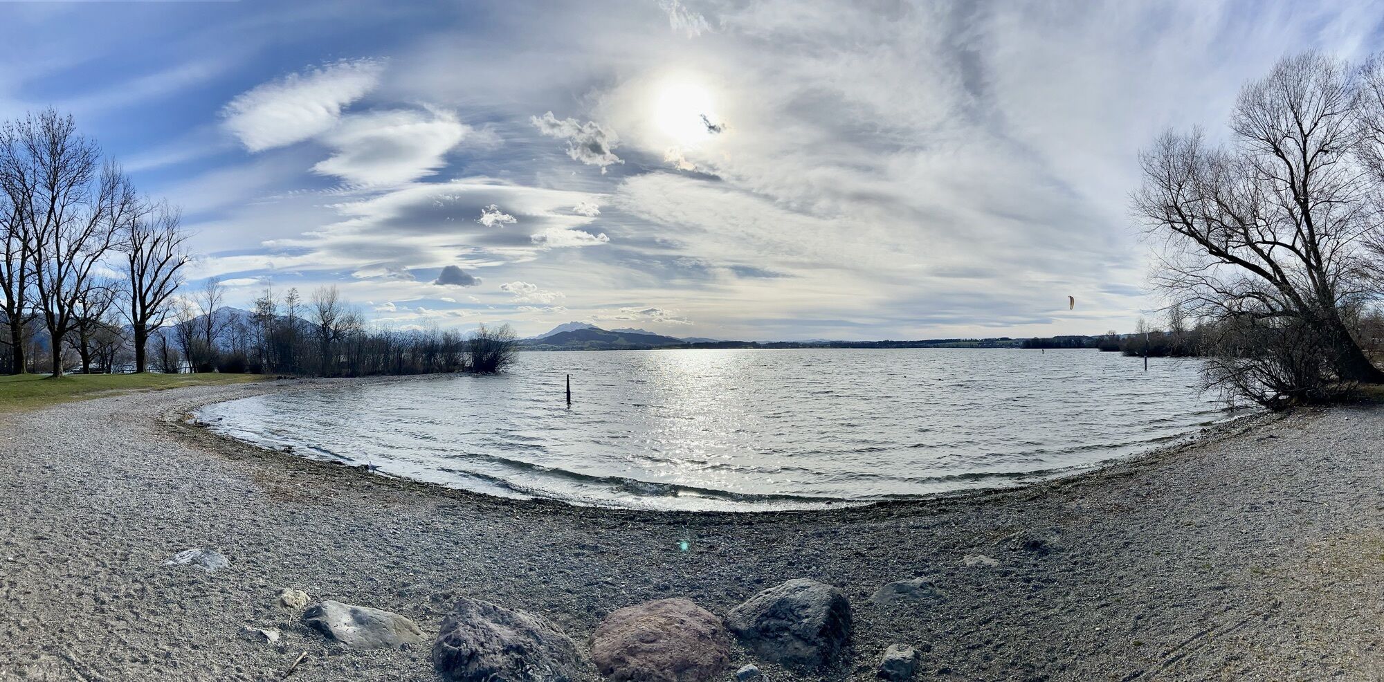
Hochdorf - Hof Beiz - Löwen - St. Germanus
medium
Navigate
Navigate
Get this tour on your mobile
Hochdorf - Hof Beiz - Löwen - St. Germanus
medium
Mountainbike
47.16
km
Scan the QR code and start navigation in the bergfex app

Hiking & Tracking


Distance
47.16
km
Duration
03:23
h
Ascent
586
m
Sea level
395 -
611
m
Track download
Hochdorf - Hof Beiz - Löwen - St. Germanus
medium
Mountainbike
47.16
km


Route
Hochdorf
(486 m)
Village
0.0 km
Wald
(478 m)
Settlement
7.8 km
Cham
(420 m)
City
22.2 km
Evangelisch-Reformierte Kirche Cham
(426 m)
Place of worship
31.1 km
Kloster Heiligkreuz
(434 m)
Settlement
32.6 km
St. Germanus
(539 m)
Place of worship
41.5 km
Obackerhof
(552 m)
Settlement
41.7 km
Route
Hochdorf - Hof Beiz - Löwen - St. Germanus
medium
Mountainbike
47.16
km
Hochdorf
(486 m)
Village
0.0 km
Frauenwald
(521 m)
Corridor/terrain
4.1 km
Eschenbach
(485 m)
Village
5.0 km
Oberhof
(479 m)
Neighbourhood
5.1 km
Hof Beiz
(477 m)
Restaurant
5.2 km
Löwen
(468 m)
Restaurant
5.3 km
Eschenbach LU
(468 m)
Railway station
5.5 km
Wald
(478 m)
Settlement
7.8 km
Sürpfen
(515 m)
Settlement
9.9 km
Schwerzlen
(535 m)
Settlement
10.4 km
Moos
(528 m)
Settlement
11.0 km
Buholz
(516 m)
Settlement
11.2 km
Limi-Hütte
(450 m)
Restaurant
17.7 km
Lohmatt
(465 m)
Corridor/terrain
18.4 km
Talacker
(463 m)
Corridor/terrain
18.5 km
Neubösch
(462 m)
Corridor/terrain
18.9 km
Hünenberg
(444 m)
Village
19.1 km
Hünenberg-See
(417 m)
Neighbourhood
20.9 km
Cham
(418 m)
Railway station
21.8 km
Cham
(420 m)
City
22.2 km
Seematte
(416 m)
Corridor/terrain
22.7 km
Schutzengelkapelle
(417 m)
Place of worship
25.9 km
Zug
(425 m)
City
26.0 km
Letzi
(418 m)
Neighbourhood
26.9 km
Tormatt
(423 m)
Corridor/terrain
30.3 km
Cham
(420 m)
City
30.6 km
Evangelisch-Reformierte Kirche Cham
(426 m)
Place of worship
31.1 km
Hammergut
(423 m)
Corridor/terrain
31.6 km
Rosengarten
(429 m)
Restaurant
32.4 km
Kloster Heiligkreuz
(434 m)
Settlement
32.6 km
da rocco
(424 m)
Restaurant
32.6 km
Zollhus
(397 m)
Settlement
36.4 km
Zoll-Huus
(397 m)
Restaurant
36.6 km
Einhornplatz
(411 m)
Neighbourhood
37.3 km
Sins
(412 m)
Village
37.3 km
Neuwund
(481 m)
Settlement
39.2 km
Aettenschwil
(489 m)
Settlement
39.6 km
Neuhof
(524 m)
Settlement
40.9 km
Restaurant Balmer
(538 m)
Restaurant
41.3 km
Abtwil
(537 m)
Village
41.5 km
St. Germanus
(539 m)
Place of worship
41.5 km
Zum Weissen Kreuz
(537 m)
Restaurant
41.6 km
Obackerhof
(552 m)
Settlement
41.7 km
Bifang
(552 m)
Settlement
42.1 km
Grüt
(592 m)
Settlement
43.4 km
Oberebersol
(555 m)
Settlement
44.3 km
Hochdorf
(486 m)
Village
47.1 km
No reviews yet
Popular tours in the neighbourhood
-
3.9
Rundweg Seebodenalp Küssnacht am Rigi, Schweiz
mediumHiking 9.56 km -
4.2
Seebodenalp Panoramaweg
lightHiking 5.25 km -
Kleine Rigi Runde🥾🏔
mediumHiking 14.0 km -
5.0
Zugerberg - via Blasenberg - Rundwanderung
lightHiking 9.44 km -
3.0
Türlersee Albis Rundweg
lightHiking 9.05 km -
3.6
Rundwanderung Schloss Heidegg, Luzern
lightHiking 6.89 km -
4.0
Seebodenalp Panoramaweg
lightHiking 5.35 km -
5.0
Von Weggis ufd Rigi
mediumHiking 18.4 km -
JOG Koller 5.5 km
lightRunning 5.59 km -
Albiskette
mediumMountainbike 39.0 km
Hiking & Tracking

Over 550.000 tour suggestions, detailed maps and an intuitive route planner make the app a must-have for all nature enthusiasts.

Don't miss out on offers and inspiration for your next holiday
Subscribe to the newsletter
Error
An error has occurred. Please try again.
Thank you for your registration
Your e-mail address has been added to the mailing list.
Tours throughout Europe
Austria
Switzerland
Germany
Italy
Slovenia
France
Netherlands
Belgium
Poland
Liechtenstein
Czechia
Slovakia
Spain
Croatia
Bosnia and Herzegovina
Luxembourg
Andorra
Portugal
Iceland
United Kingdom
Ireland
Greece
Albania
North Macedonia
Malta
Norway
Montenegro
Moldova
Kosovo
Hungary
San Marino
Romania
Estonia
Latvia
Belarus
Cyprus
Lithuania
Serbia
Bulgaria
Monaco
Denmark
Sweden
Finland