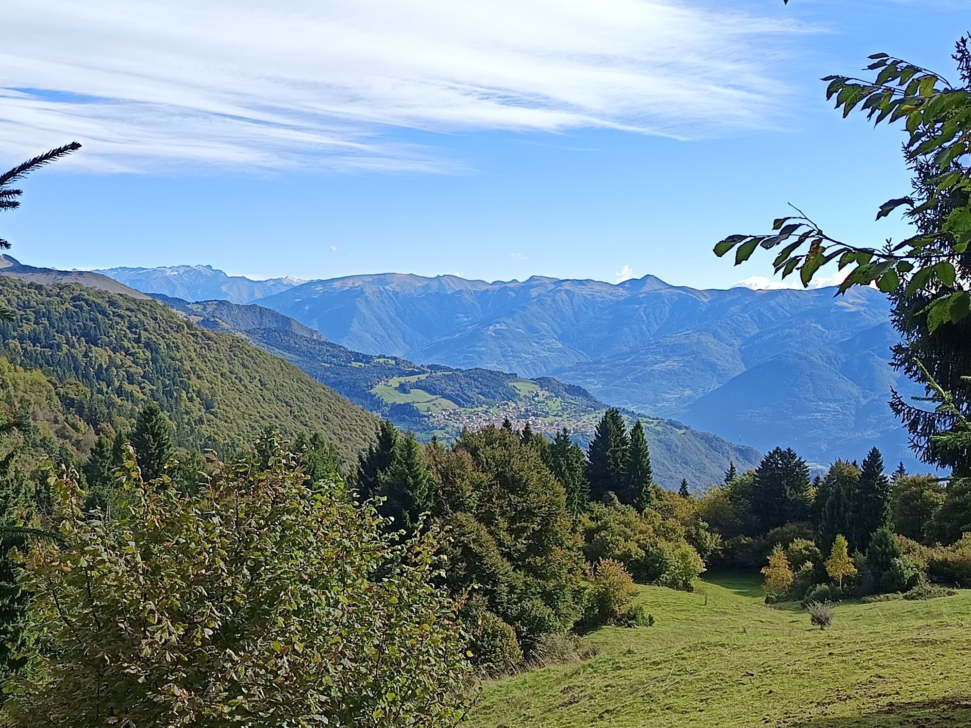
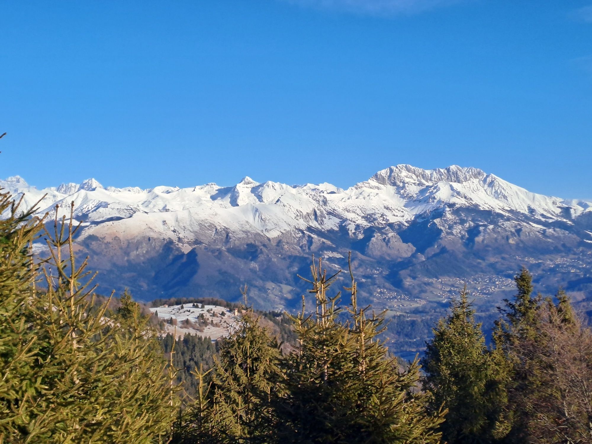
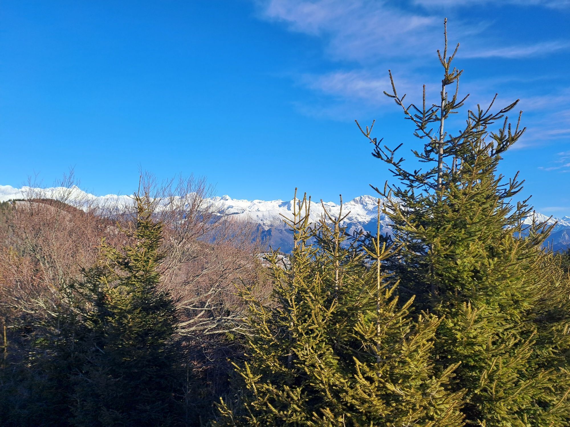
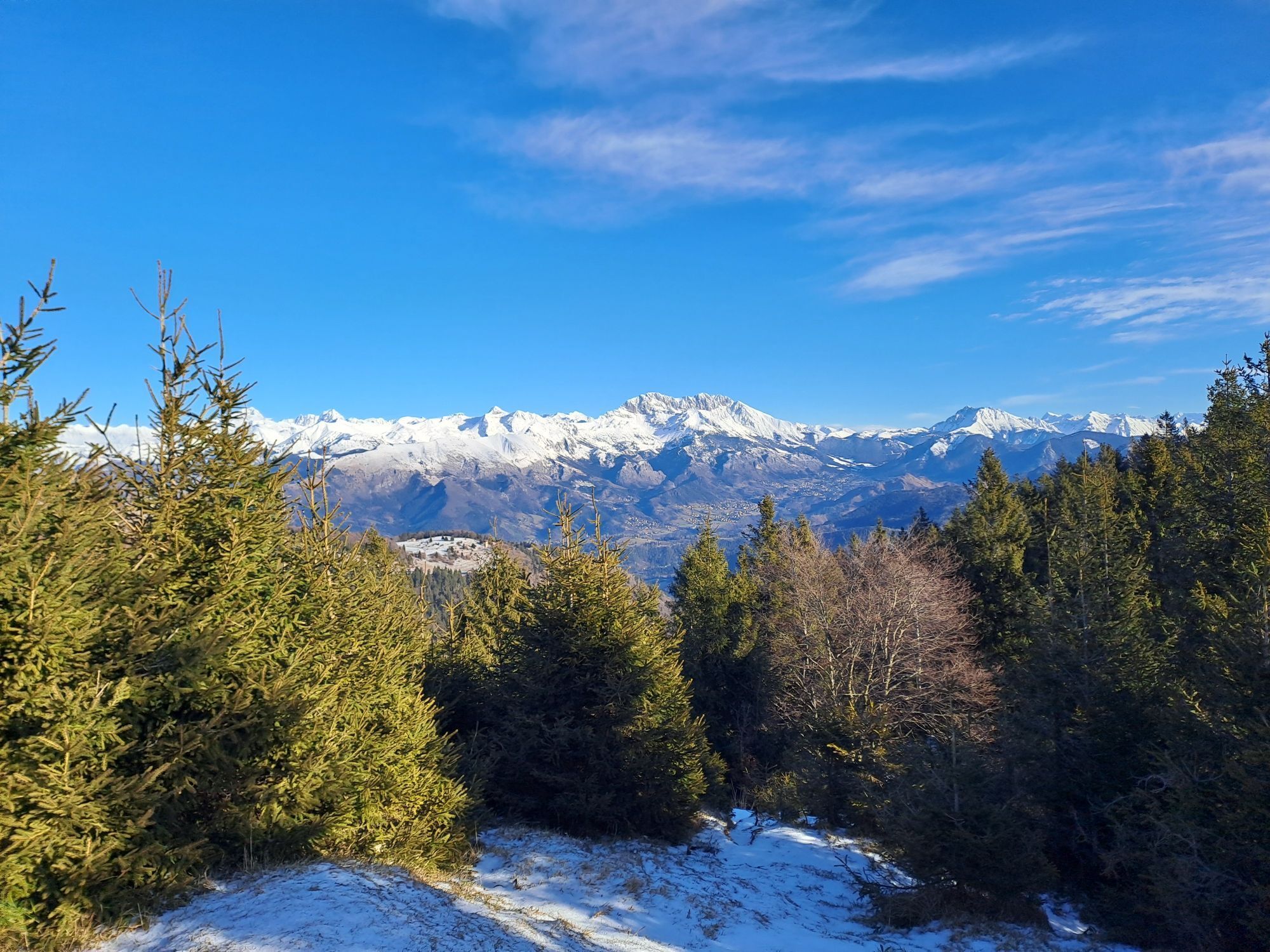
Gandino - Malgalonga - Corna Lunga 1265mt - Baita Monte Alto
heavy
Navigate
Navigate
Get this tour on your mobile
Gandino - Malgalonga - Corna Lunga 1265mt - Baita Monte Alto
heavy
Hiking
25.80
km
Scan the QR code and start navigation in the bergfex app

Hiking & Tracking


Distance
25.80
km
Duration
08:51
h
Ascent
1,838
m
Sea level
525 -
1,383
m
Track download
Gandino - Malgalonga - Corna Lunga 1265mt - Baita Monte Alto
heavy
Hiking
25.80
km


Route
Gandino
(552 m)
City
0.7 km
Santa Maria degli Angeli
(1,039 m)
Place of worship
6.0 km
Corna Lunga
(1,265 m)
Summit
13.5 km
Baita Monte Alto
(1,381 m)
Shelter
16.0 km
Cirano
(612 m)
Village
23.8 km
Basilica di Santa Maria Assunta
(552 m)
Place of worship
24.8 km
Gandino
(552 m)
City
24.9 km
Route
Gandino - Malgalonga - Corna Lunga 1265mt - Baita Monte Alto
heavy
Hiking
25.80
km
Gandino
(552 m)
City
0.7 km
Fontanei
(732 m)
Corridor/terrain
4.1 km
Santa Maria degli Angeli
(1,039 m)
Place of worship
6.0 km
Bistro
(1,077 m)
Settlement
6.8 km
Malgalonga
(1,236 m)
Shelter
8.4 km
Corna Lunga
(1,265 m)
Summit
13.5 km
Baita Monte Alto
(1,381 m)
Shelter
16.0 km
Fontanì Gröér
(665 m)
Source
23.0 km
Cirano
(612 m)
Village
23.8 km
Basilica di Santa Maria Assunta
(552 m)
Place of worship
24.8 km
Gandino
(552 m)
City
24.9 km
No reviews yet
Popular tours in the neighbourhood
-
4.0
Trentapasso
mediumHiking 11.2 km -
5.0
Zone Wanderung
mediumHiking 10.3 km -
Corna Trentapassi - Lago de Iseo
mediumHiking 15.2 km -
4.7
Ciochet - Oratorio di San Rocco - XVI sec. - Chiesa di San Rocco - Iseo
mediumLong distance cycling 69.4 km -
cima Grem e Foppazzi
Mountain hiking 15.6 km -
Periplo Parre, Monte Vaccaro, Monte Secco
mediumHiking 18.7 km -
Songavazzo-Passo della Presolana
mediumMountainbike 32.0 km -
5.0
Chiesa di Sant'Antonio - Cusato - Anticima Est Corna Trentapassi - Corna Trentapassi
mediumHiking 3.29 km -
4.0
Pian Camuno - Val Palot
heavyMountainbike 16.9 km -
4.5
Fonteno - Monte Boario - Monte Sicolo - Il Colletto
mediumHiking 14 km
Hiking & Tracking

Over 550.000 tour suggestions, detailed maps and an intuitive route planner make the app a must-have for all nature enthusiasts.

Don't miss out on offers and inspiration for your next holiday
Subscribe to the newsletter
Error
An error has occurred. Please try again.
Thank you for your registration
Your e-mail address has been added to the mailing list.
Tours throughout Europe
Austria
Switzerland
Germany
Italy
Slovenia
France
Netherlands
Belgium
Poland
Liechtenstein
Czechia
Slovakia
Spain
Croatia
Bosnia and Herzegovina
Luxembourg
Andorra
Portugal
Iceland
United Kingdom
Ireland
Greece
Albania
North Macedonia
Malta
Norway
Montenegro
Moldova
Kosovo
Hungary
San Marino
Romania
Estonia
Latvia
Belarus
Cyprus
Lithuania
Serbia
Bulgaria
Monaco
Denmark
Sweden
Finland