


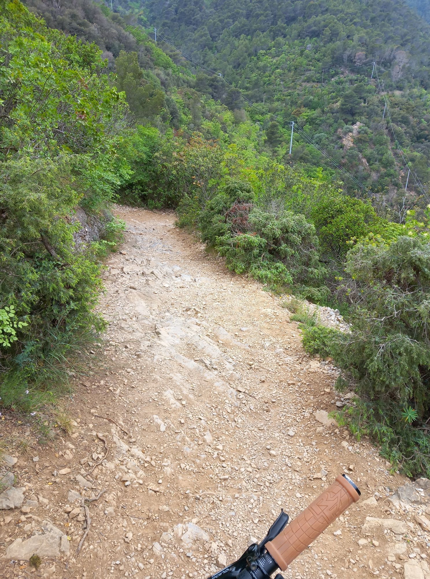
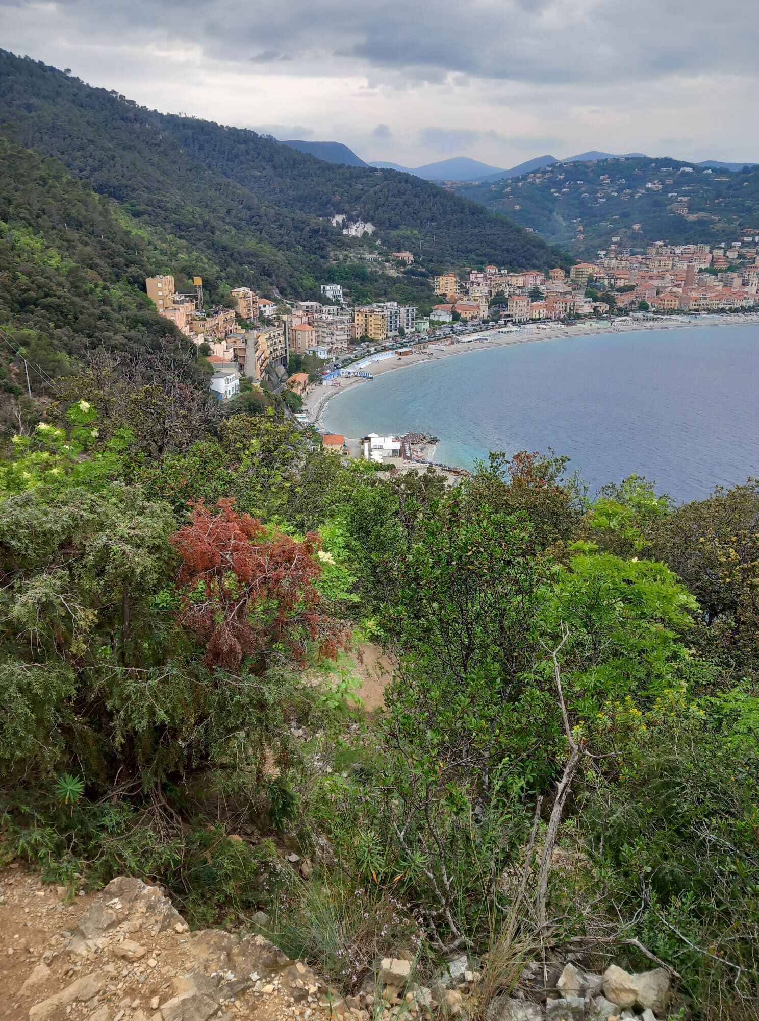
Photos from our users
at the end of Via degli Orti, go up to the left along a mule track (trail marker: X red). A short path to the right leads at the Medieval Church of San Lorenzo. Go back in the main path (further an other...
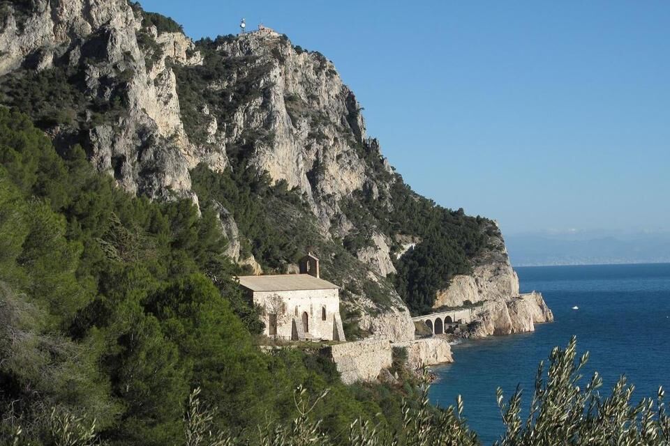
at the end of Via degli Orti, go up to the left along a mule track (trail marker: X red). A short path to the right leads at the Medieval Church of San Lorenzo. Go back in the main path (further an other short deviation lead to the tower “Torre delle Streghe”) and continue as far as the dirt road coming from Le Manie (trail marker: a blocked red circle). Follow it to the right as far as Monte di Capo Noli (wonderful view). To reach the “Caverna dei Falsari”, follow a stretch of the dirt road going down to Noli (trail marker: yelloy 1), thence follow to the right a footpath (signpost) in the rocky ground as far as the Caverna dei Falsari. It is a big cave overlooking the sea. In the bottom of the cave there are some roman dry-stone walls. In the middle there is a small basin in the rock to receive rainwater from the overhanging slopes. It's also possible to see the cave from Via Aurelia (from the Caverna dei Falsari it is possible to reach the via Aurelia not far from the Capo Noli tunnel, but it isn't recommended because the road is without the pavement). From the Caverna go back as far as the dirt road. Follow it to the right as far as Noli. From Noli you can go back to Varigotti with the public bus (autolinee TPL; www.tpllinea.it).

from Savona to Varigotti (autolinee TPL; www.tpllinea.it).
from Finale Ligure motorway exit (A10 Genova-Ventimiglia) reach the via Aurelia, turn left and drive as far as Varigotti. Park in via degli Orti, upstream the historical centre.
Nature and Landscape * * * * * * Family * * * * Gourmet * * * Culture * * * *
Popular tours in the neighbourhood
Forests and the sea
mediumE-Bike43,6 kmAlta Via dei Monti Liguri - AV
Hiking317,8 kmPietra ligure trail
lightTrailrunning8,64 km- 2,0
Finale Ligure
mediumRacing37,2 km Rocche Bianche e Monte Mao (Finale Ligure)
mediumMountainbike37,0 kmNew Roller Coaster – Il Cacciatore
mediumMountainbike9,54 kmDH Men
mediumMountainbike2,24 km- 4,0
Finale Enduro 2008
mediumMountainbike38,2 km Cravarezza
heavyMountainbike46,0 kmTerre Alte and Alta Via
mediumMountainbike63,0 km
Hiking & Tracking


Don't miss out on offers and inspiration for your next holiday
Your e-mail address has been added to the mailing list.