Eppstein - Sankt Laurentius - Michaels Kapelle - St. Peter und Paul
heavy
Navigate
Navigate
Get this tour on your mobile
Eppstein - Sankt Laurentius - Michaels Kapelle - St. Peter und Paul
heavy
Cycling
59.79
km
Scan the QR code and start navigation in the bergfex app

Hiking & Tracking


Distance
59.79
km
Duration
04:13
h
Ascent
679
m
Sea level
86 -
248
m
Track download
Eppstein - Sankt Laurentius - Michaels Kapelle - St. Peter und Paul
heavy
Cycling
59.79
km


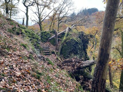
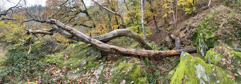
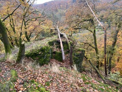
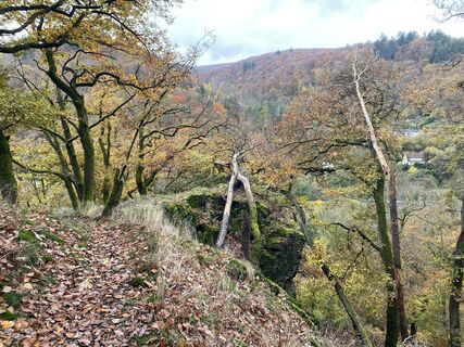
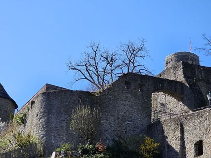
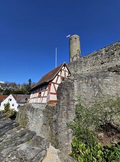
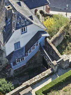
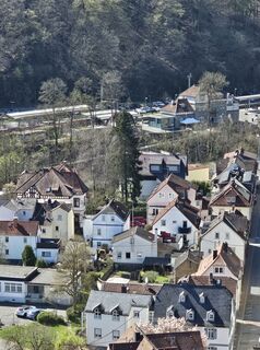
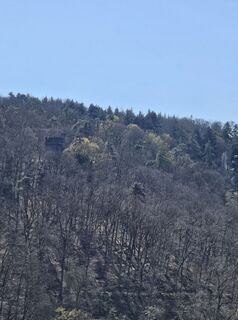
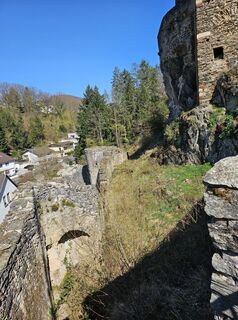
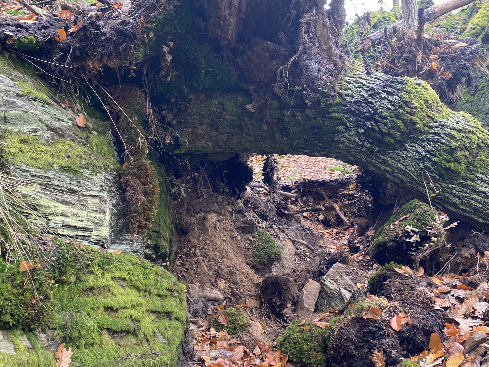
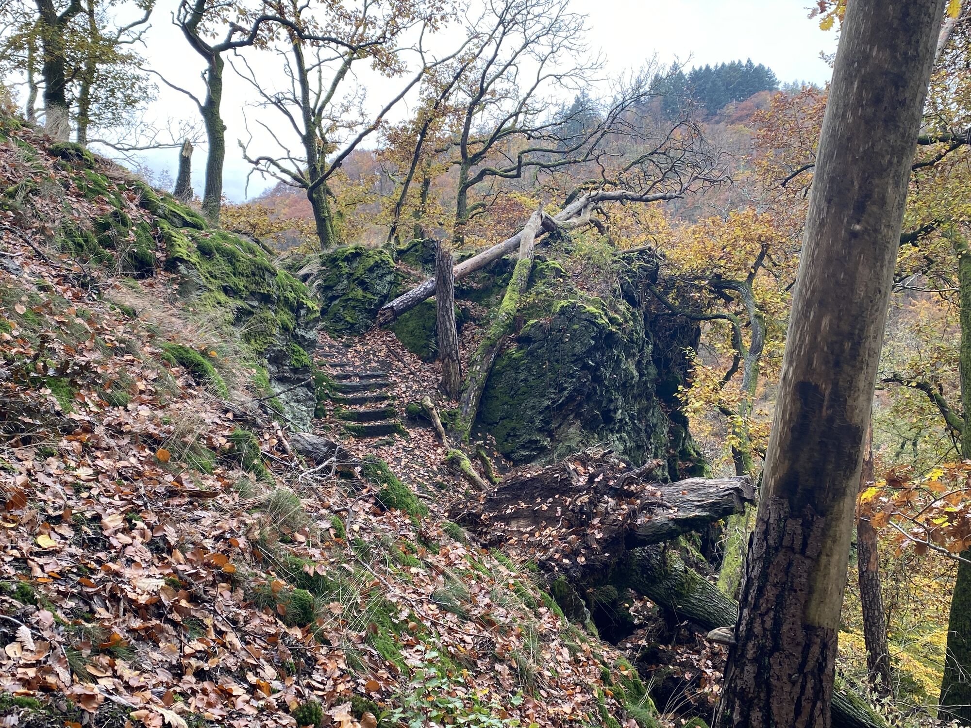
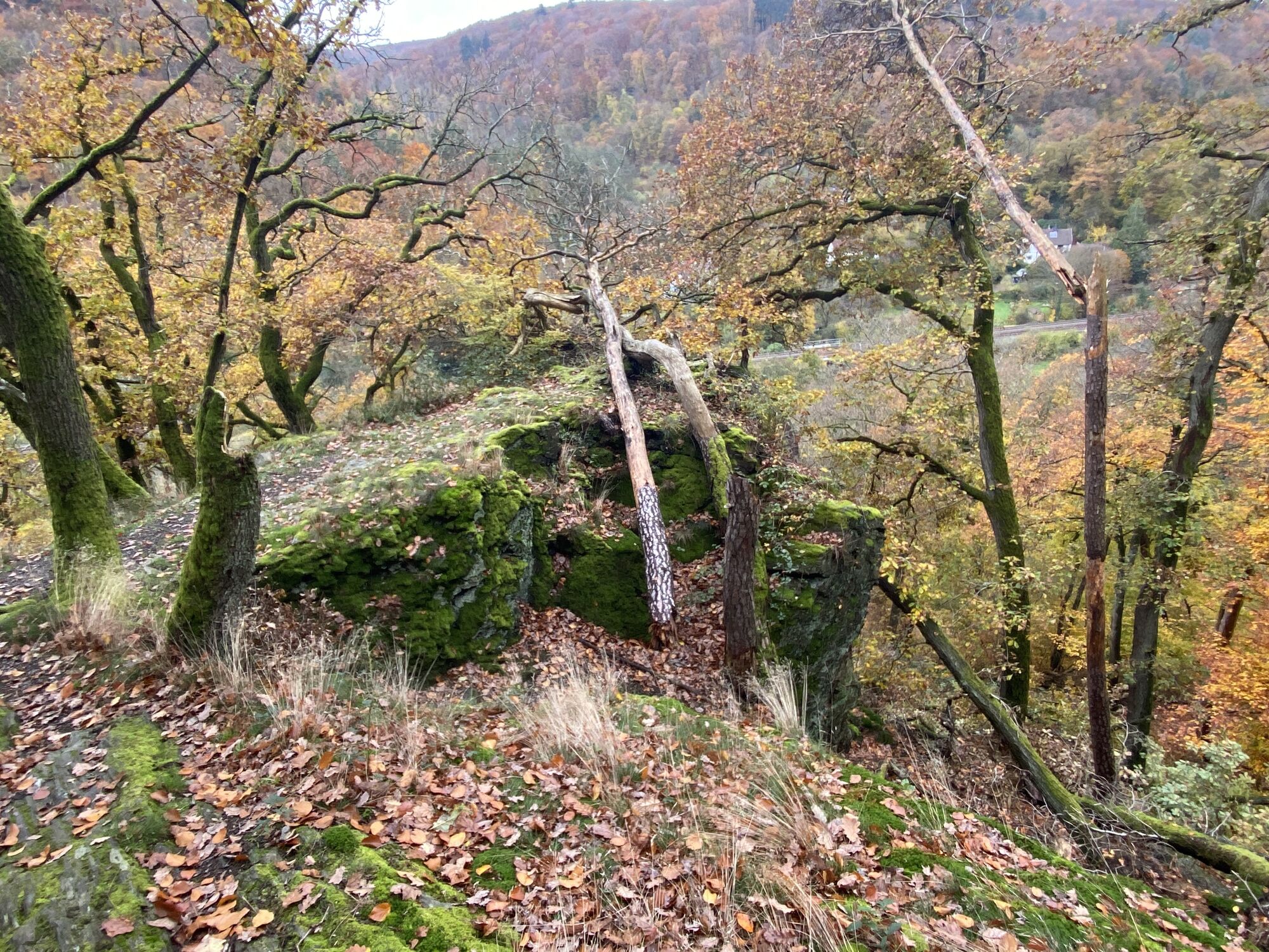
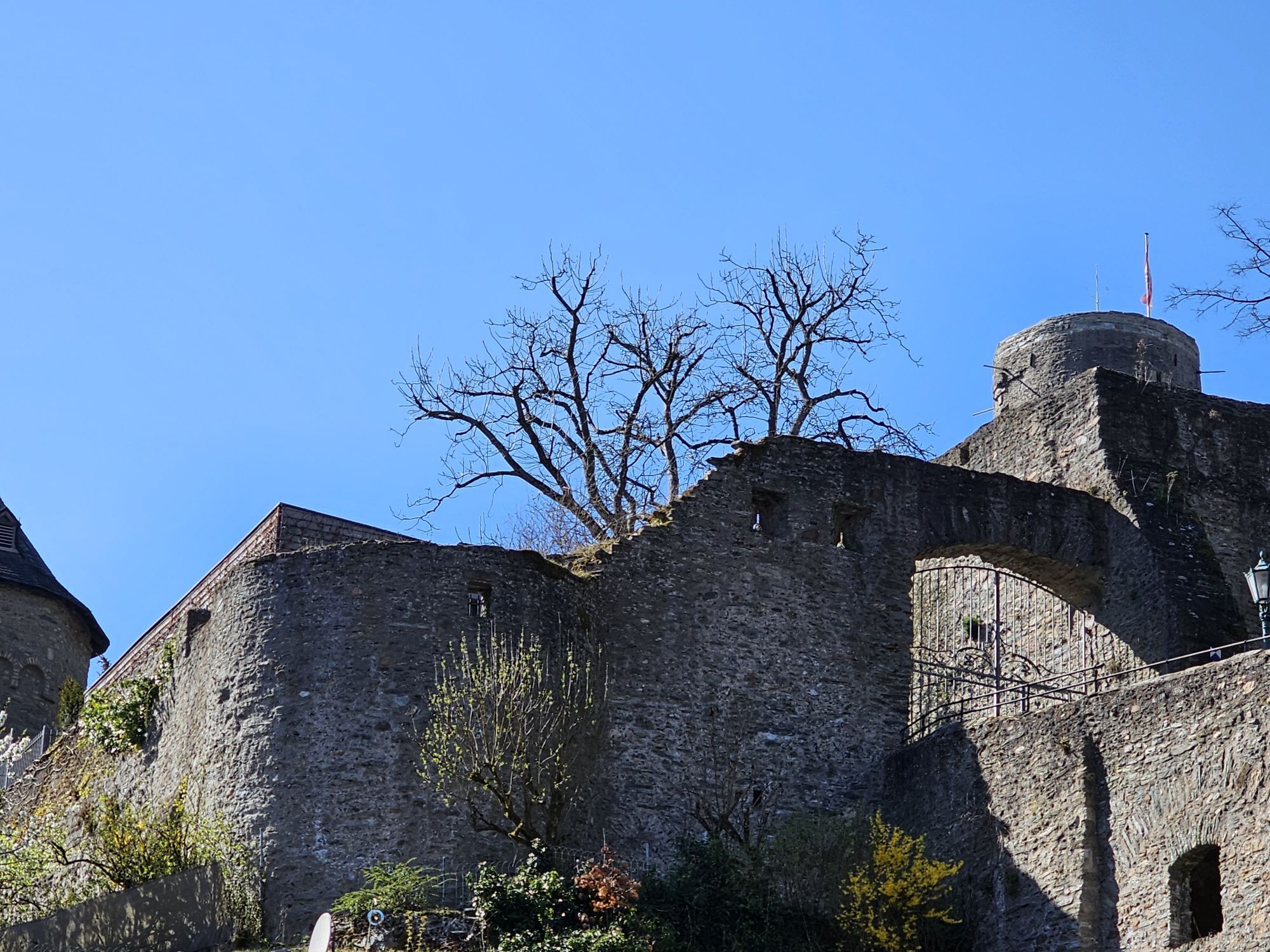
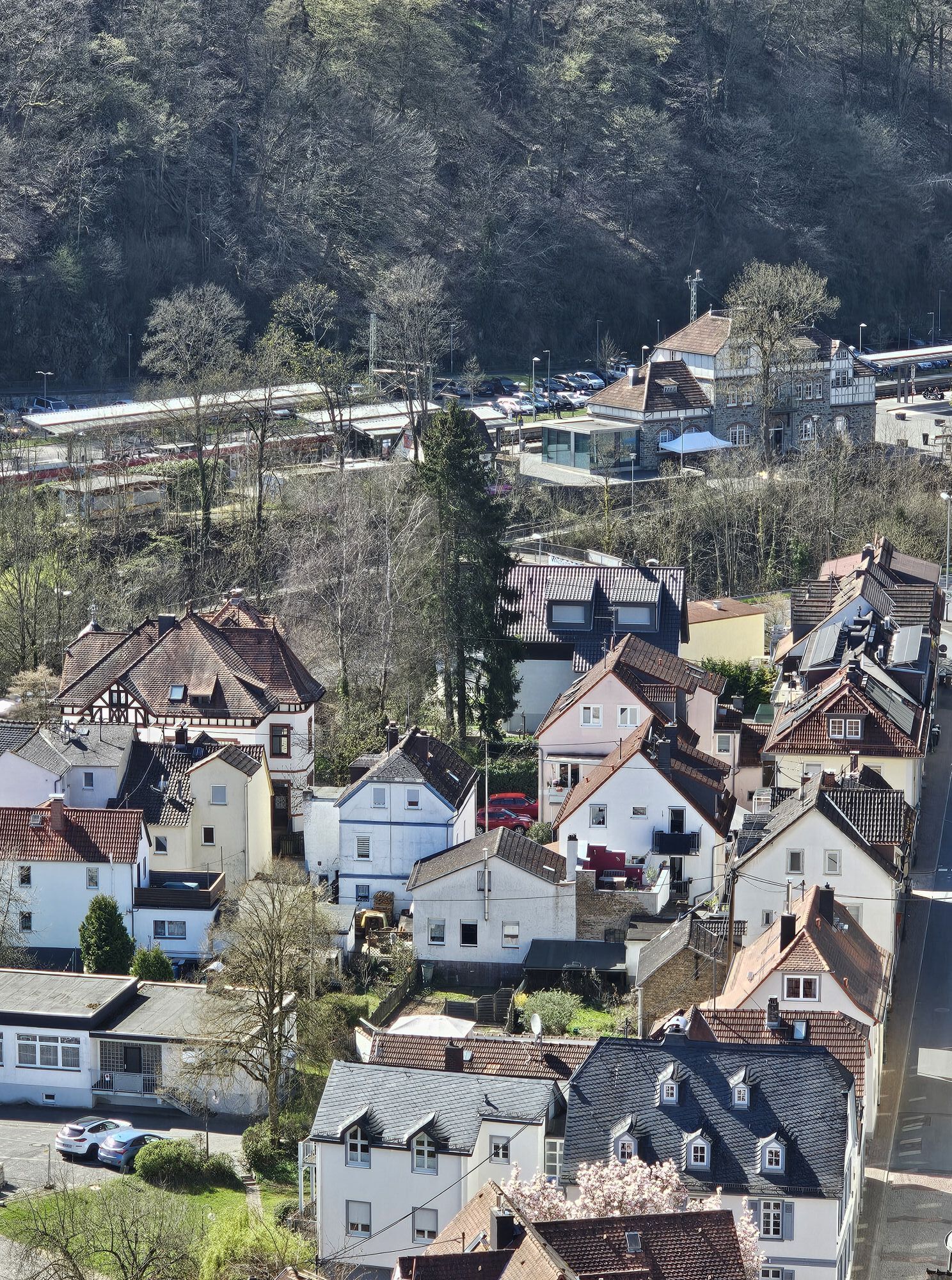
Photos from our users
-

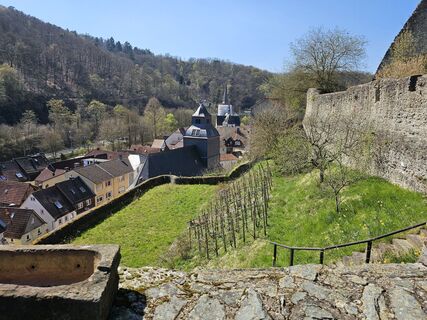
 © Jutta RömerCreated on 09.06.2025
 -
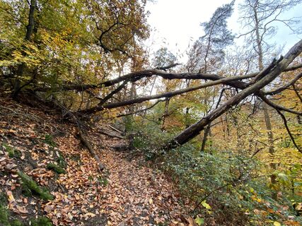
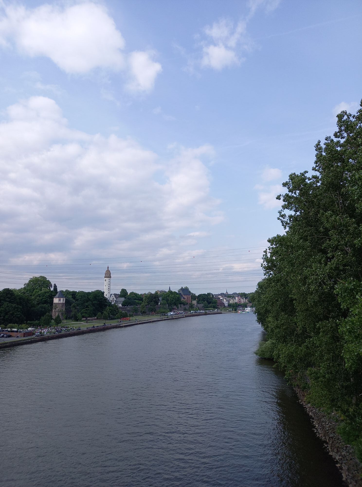
 © Arthur MuskallaCreated on 02.11.2025
 -
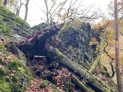 © Arthur MuskallaCreated on 02.11.2025
 -
 © Arthur MuskallaCreated on 02.11.2025
 -
 © Arthur MuskallaCreated on 02.11.2025
 -
 © Arthur MuskallaCreated on 02.11.2025
 -
 © Arthur MuskallaCreated on 02.11.2025
 -
 © Arthur MuskallaCreated on 02.11.2025
 -
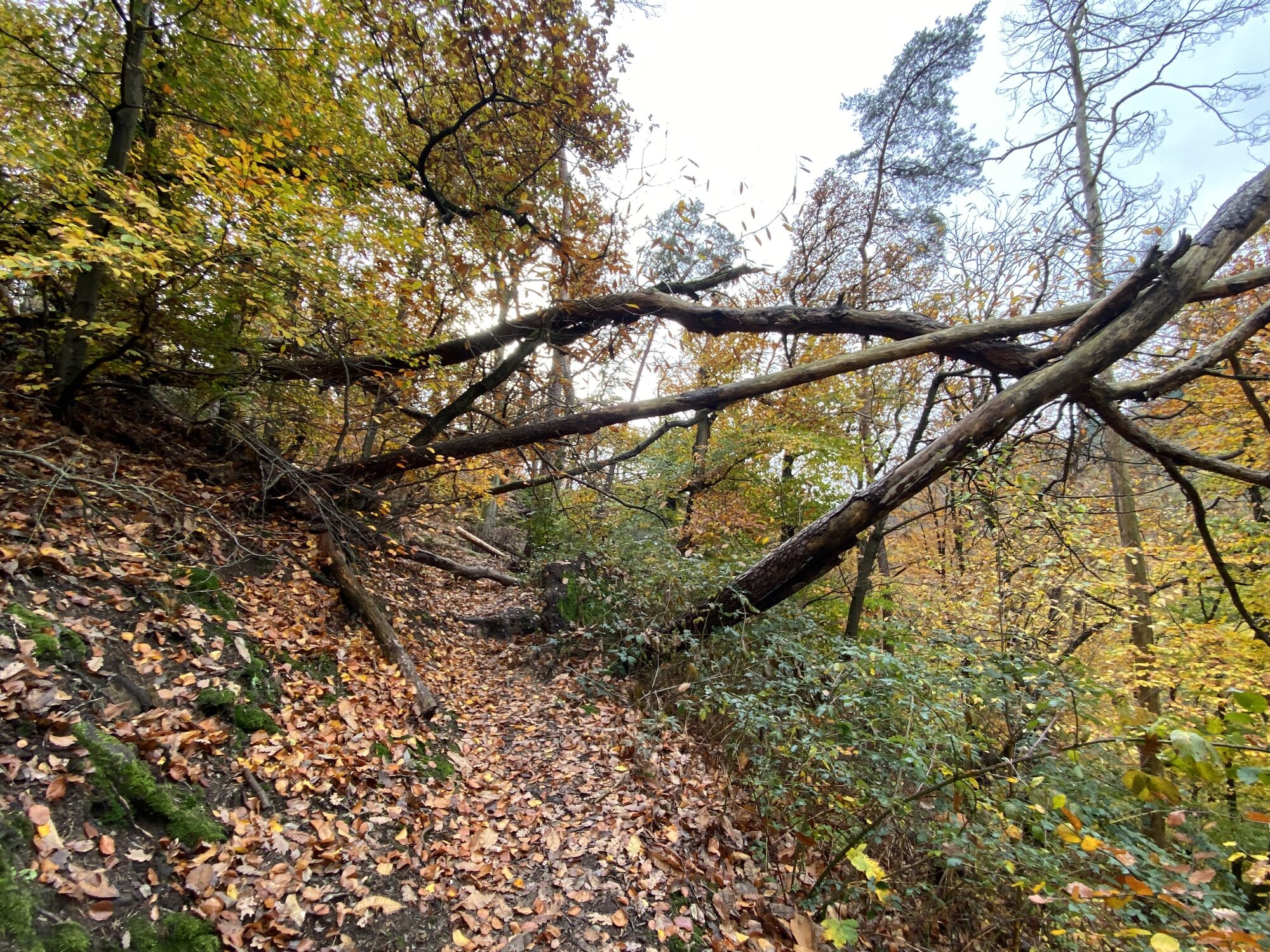
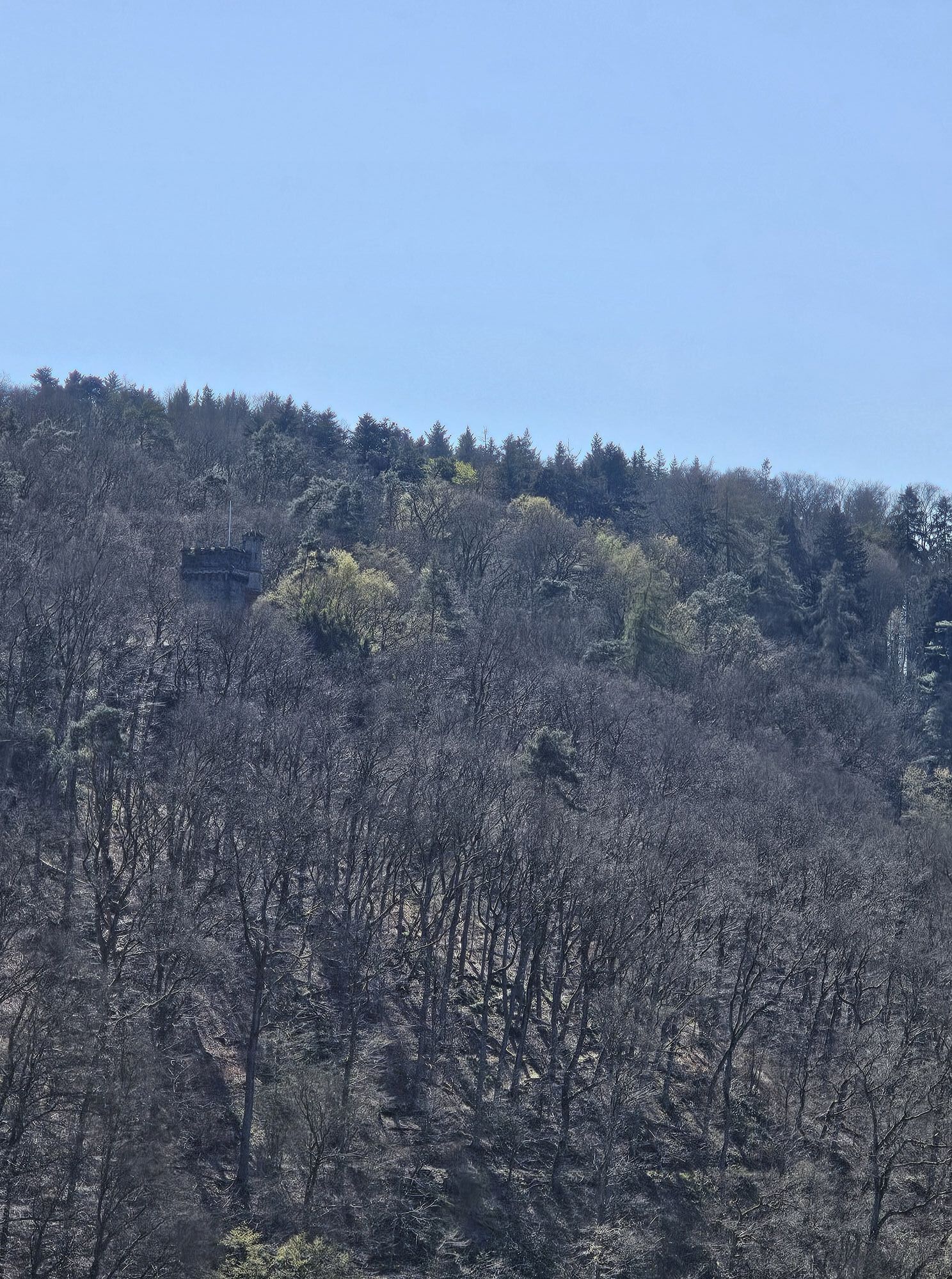
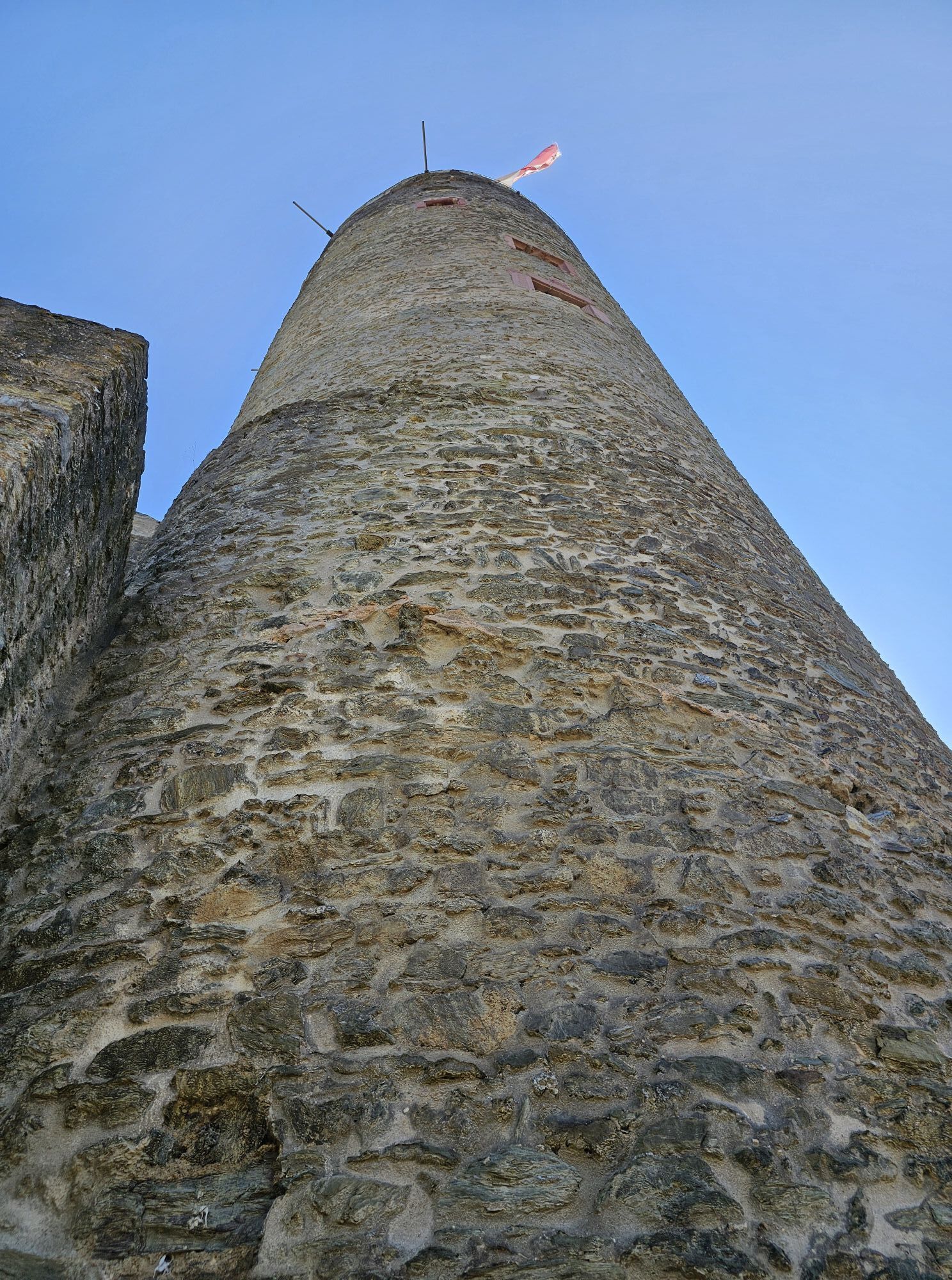
 © Blinki27Created on 03.04.2025
 -
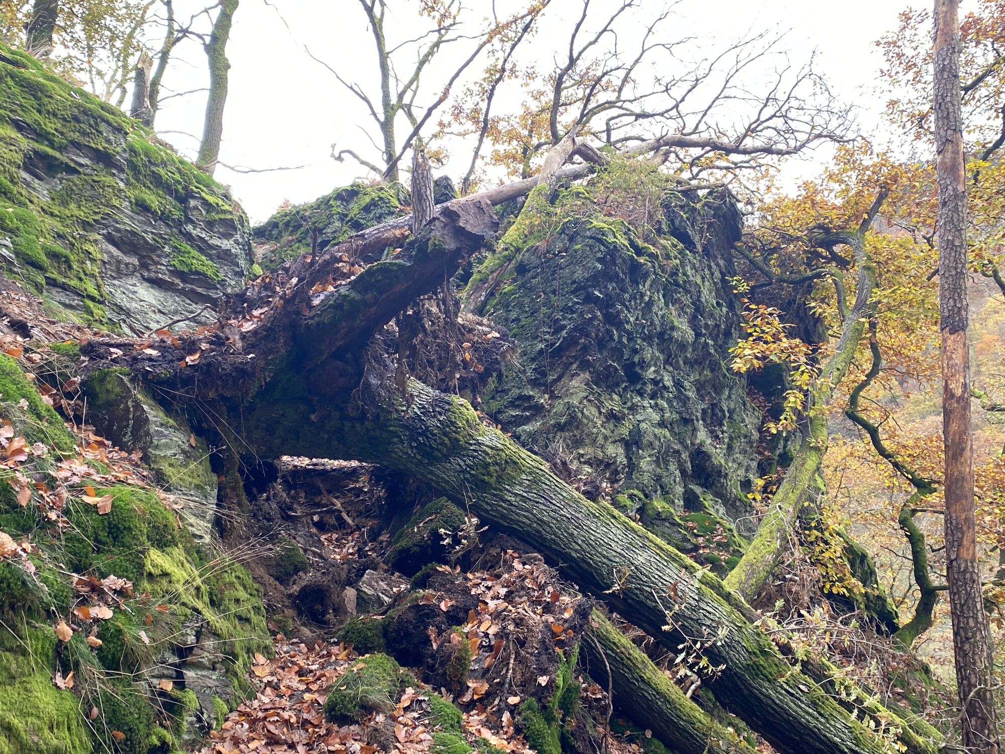
 © Blinki27Created on 03.04.2025
 -
 © Blinki27Created on 03.04.2025
 -
 © Blinki27Created on 03.04.2025
 -
 © Blinki27Created on 03.04.2025
 -
 © Blinki27Created on 03.04.2025
 -
 © Blinki27Created on 03.04.2025
 -
 © Blinki27Created on 03.04.2025
 -
 © Blinki27Created on 03.04.2025
 -
 © Blinki27Created on 03.04.2025
 -
 © Blinki27Created on 03.04.2025


Route
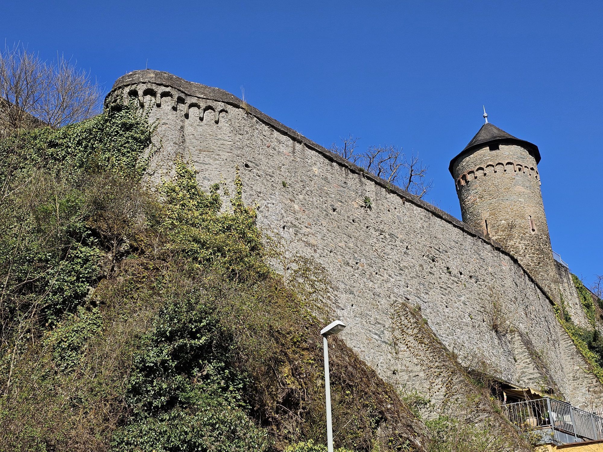
Sankt Laurentius
(188 m)
Place of worship
0.6 km
Kelkheim (Taunus)
(197 m)
City
7.0 km
Liederbach am Taunus
(146 m)
Village
10.5 km
Am Main
(94 m)
Corridor/terrain
21.7 km
Frankfurt
(112 m)
City
29.2 km
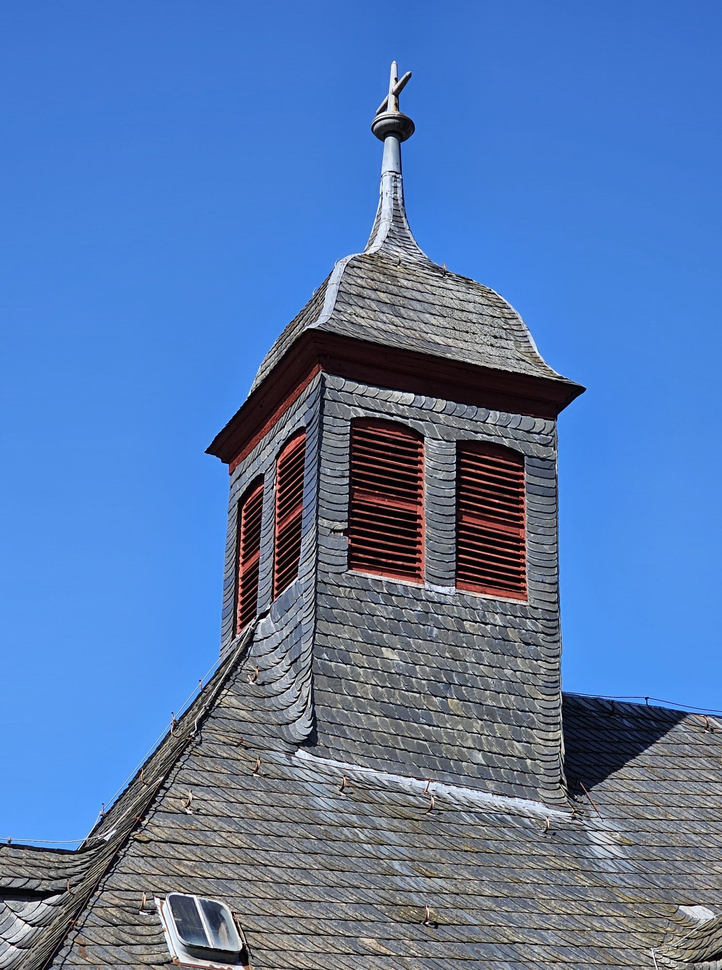
St. Peter und Paul
(136 m)
Place of worship
49.5 km
Lorsbach
(160 m)
Village
55.1 km
Route
Eppstein - Sankt Laurentius - Michaels Kapelle - St. Peter und Paul
heavy
Cycling
59.79
km
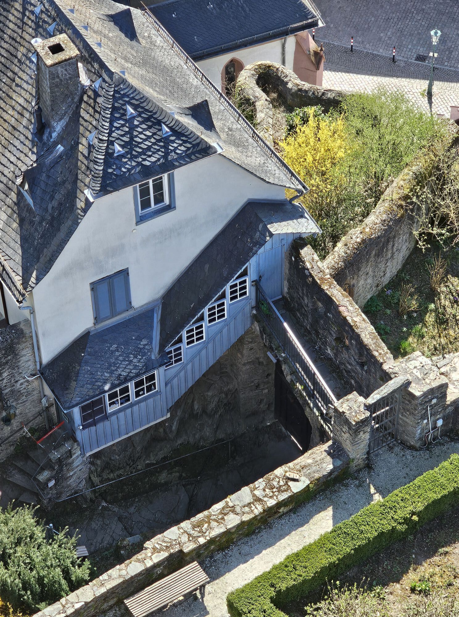
Eppstein
(197 m)
Railway station
0.0 km
Sankt Laurentius
(188 m)
Place of worship
0.6 km
Eppstein
(190 m)
Village
0.8 km
Fischbachtal
(200 m)
Restaurant
2.2 km
Taunus Club 1912
(223 m)
Source
2.9 km
Fischbach
(227 m)
Village
4.0 km
Bamboo House
(251 m)
Restaurant
4.6 km
Restaurant Konfuzius
(250 m)
Restaurant
4.7 km
Osteria Il Caminetto
(249 m)
Restaurant
4.8 km
Kelkheim
(201 m)
Railway station
6.3 km
Kelkheim (Taunus)
(197 m)
City
7.0 km
Kelkheim-Mitte
(195 m)
Neighbourhood
7.0 km
Münster
(171 m)
Neighbourhood
8.7 km
Niederhofheim
(157 m)
Village
10.0 km
Liederbach am Taunus
(146 m)
Village
10.5 km
Oberliederbach
(145 m)
Village
11.2 km
Schöne Aussicht
(142 m)
Restaurant
11.6 km
Unterliederbach
(111 m)
Neighbourhood
14.5 km
Pflugsgewann
(93 m)
Corridor/terrain
17.6 km
Höchst
(102 m)
Neighbourhood
18.4 km
Fähre Höchst
(88 m)
Ferry landing stage
18.7 km
Fähre Höchst
(89 m)
Ferry landing stage
18.8 km
Am Main
(92 m)
Corridor/terrain
20.5 km
Am Faßstück
(96 m)
Corridor/terrain
20.5 km
Am Main
(94 m)
Corridor/terrain
21.7 km
Niederrad
(102 m)
Neighbourhood
25.9 km
Frankfurt
(112 m)
City
29.2 km
Niederrad
(102 m)
Neighbourhood
32.2 km
Am Main
(94 m)
Corridor/terrain
36.3 km
Am Beinweg
(97 m)
Corridor/terrain
37.9 km
Am Bohnenweg
(94 m)
Corridor/terrain
38.3 km
Langackergewann
(93 m)
Corridor/terrain
40.8 km
Langackergewann
(94 m)
Corridor/terrain
41.3 km
Sindlingen
(100 m)
Neighbourhood
42.9 km
Zeilsheim
(117 m)
Neighbourhood
45.4 km
Sankt Bartholomäus
(115 m)
Place of worship
45.6 km
Michaels Kapelle
(116 m)
Place of worship
45.8 km
Restaurant Nassauer Hof
(115 m)
Restaurant
45.8 km
St. Peter und Paul
(136 m)
Place of worship
49.5 km
Hofheim am Taunus
(128 m)
City
49.5 km
Nassauer Schweiz
(161 m)
Restaurant
55.0 km
Pizzeria da Maria
(162 m)
Restaurant
55.1 km
Lorsbach
(160 m)
Village
55.1 km
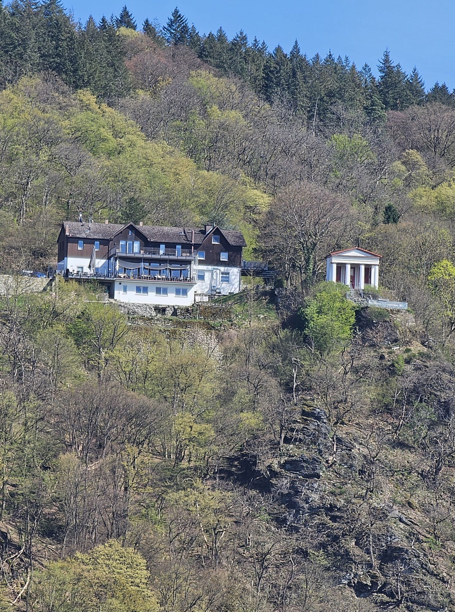
Georg-Sparwasser-Tempel
(241 m)
Viewpoint
59.2 km
Eppstein
(190 m)
Village
59.2 km
Eppstein
(197 m)
Railway station
59.7 km
No reviews yet
Popular tours in the neighbourhood
-
5.0
Drei Burgen Weg
mediumHiking 12.8 km -
5.0
Hohe Mark - Weiße Mauer - Altkönig - Gr. Feldberg - Hohe Mark
lightHiking 19.4 km -
5.0
3 Taunusgipfel
mediumHiking 18.2 km -
Falkenstein -> Altkönig -> Feldberg -> Falkenstein
mediumHiking 13.6 km -
Bad Soden - Gehen und Sehen
lightHiking 11.8 km -
4.0
Rundtour 7 Brüder
mediumHiking 7.74 km -
Megamarsch Frankfurt 2022
heavyHiking 100.3 km -
Megamarsch Frankfurt 2023
heavyHiking 103.1 km -
Langenhain Runde
mediumE-Bike 33.9 km -
5.0
Eichhörnchenrunde - Glashütten, Deutschland
lightHiking 5.89 km
Hiking & Tracking

Over 550.000 tour suggestions, detailed maps and an intuitive route planner make the app a must-have for all nature enthusiasts.

Don't miss out on offers and inspiration for your next holiday
Subscribe to the newsletter
Error
An error has occurred. Please try again.
Thank you for your registration
Your e-mail address has been added to the mailing list.
Tours throughout Europe
Austria
Switzerland
Germany
Italy
Slovenia
France
Netherlands
Belgium
Poland
Liechtenstein
Czechia
Slovakia
Spain
Croatia
Bosnia and Herzegovina
Luxembourg
Andorra
Portugal
Iceland
United Kingdom
Ireland
Greece
Albania
North Macedonia
Malta
Norway
Montenegro
Moldova
Kosovo
Hungary
San Marino
Romania
Estonia
Latvia
Belarus
Cyprus
Lithuania
Serbia
Bulgaria
Monaco
Denmark
Sweden
Finland