


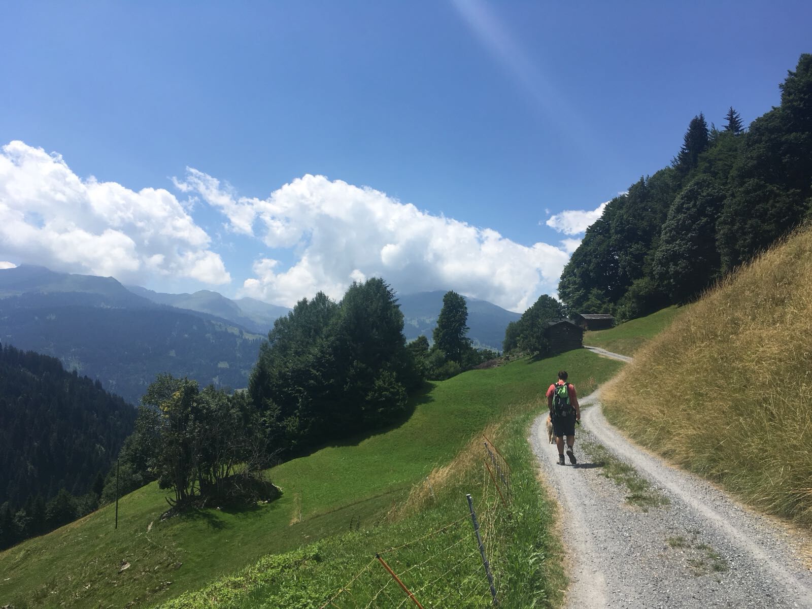
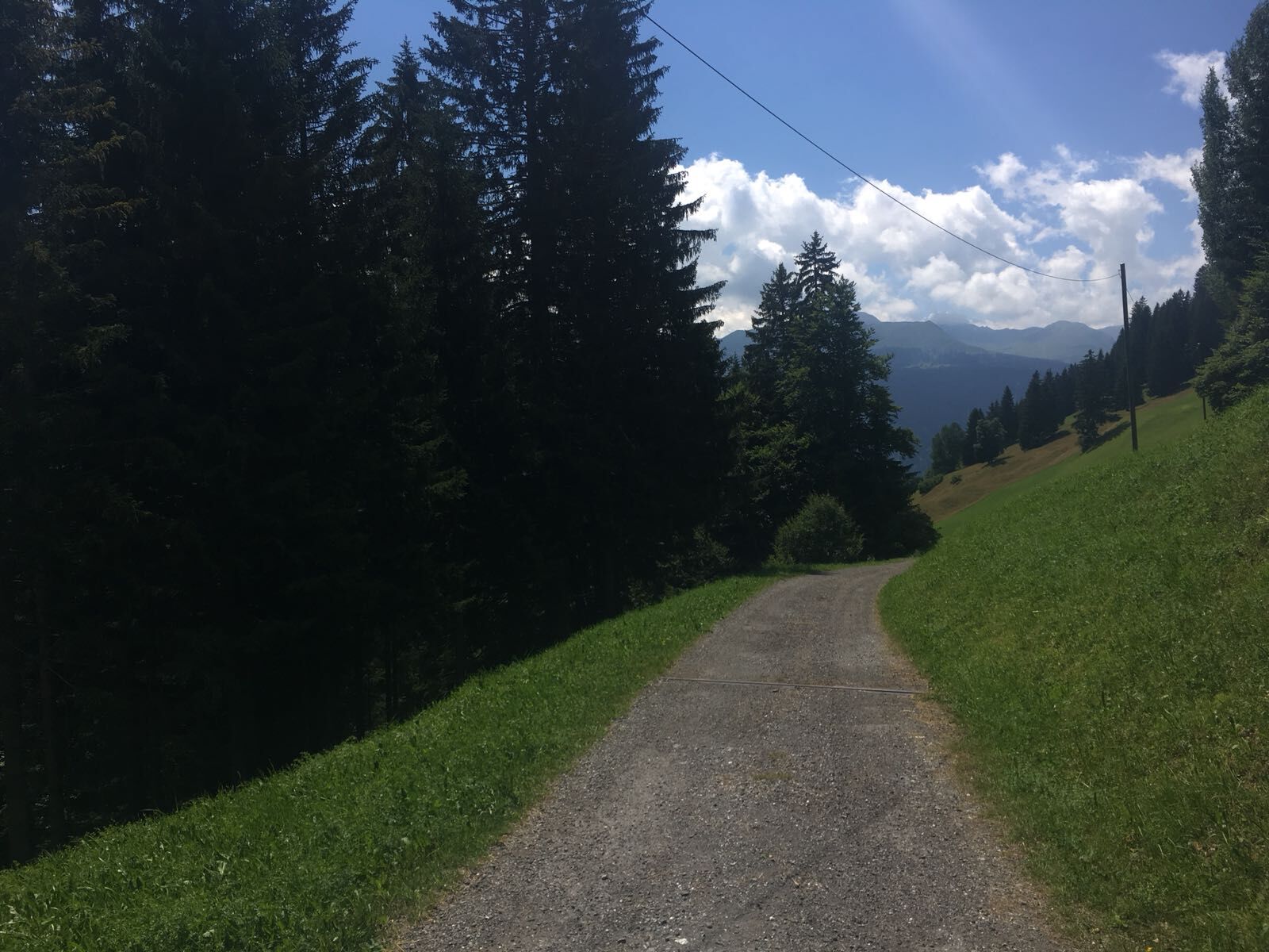
From the St. Antönien Platz post bus stop, follow the signs of the nature adventure trail towards Pany. At the beginning the road leads uphill. After about 600 m, the hiking trail branches off. Along the...
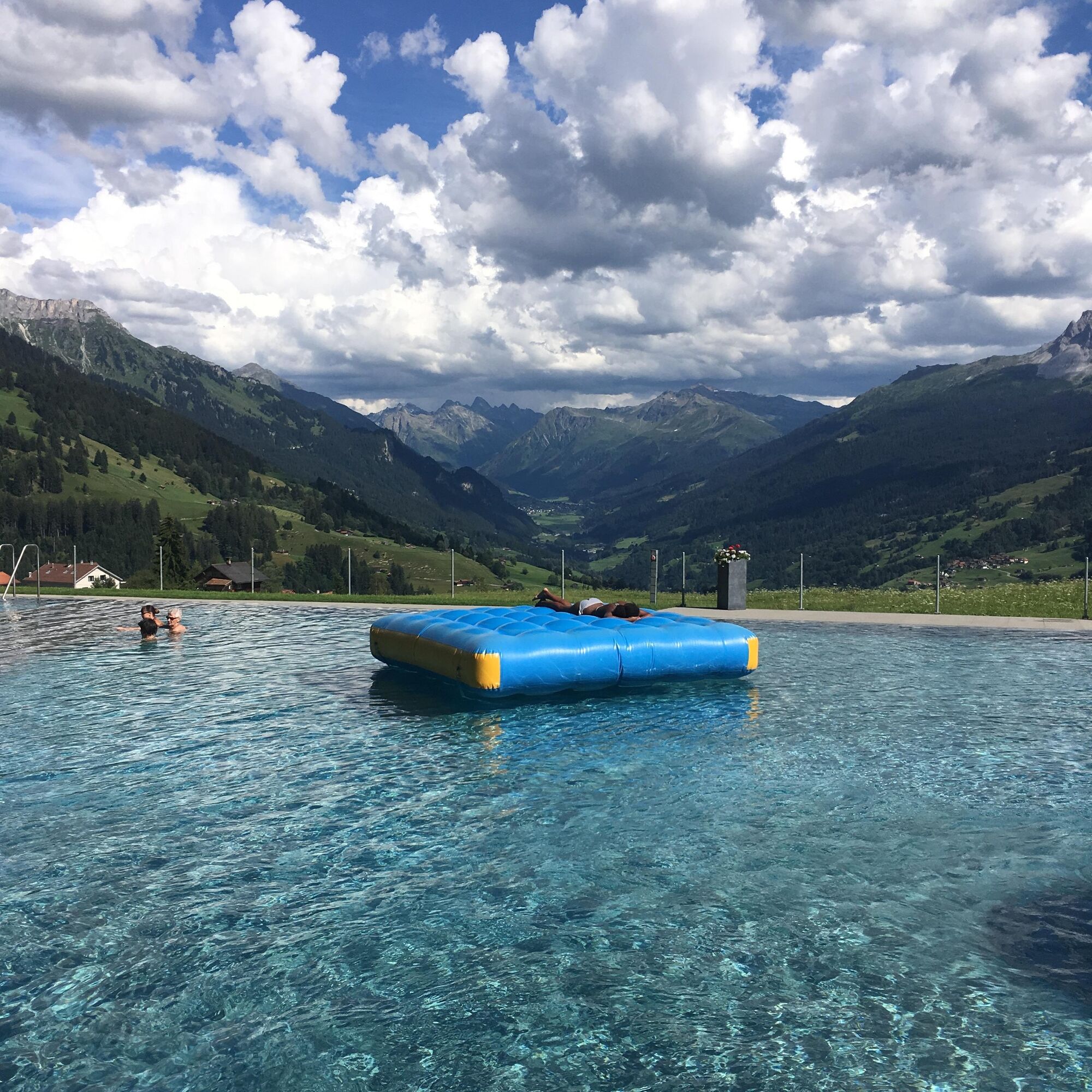
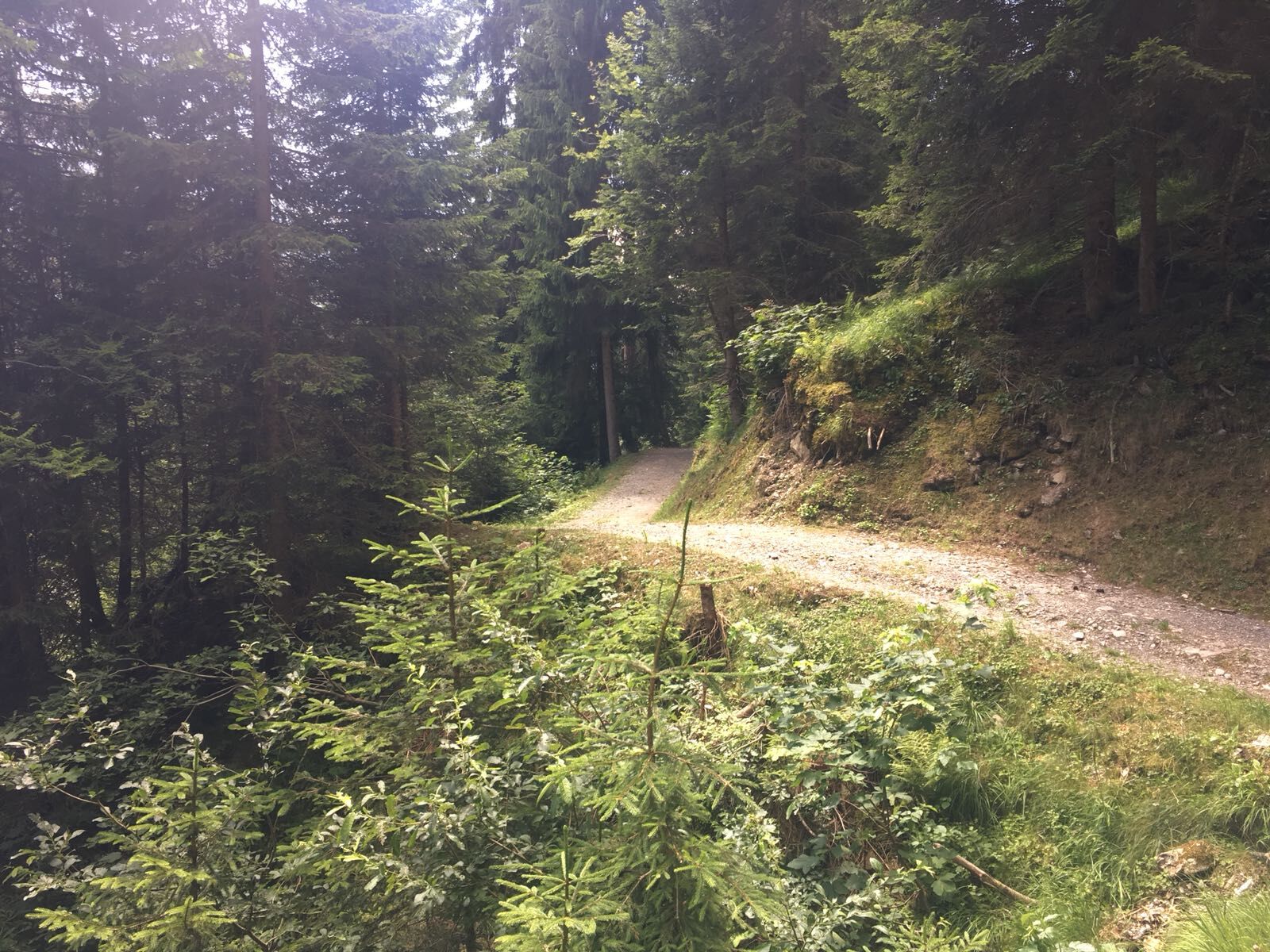
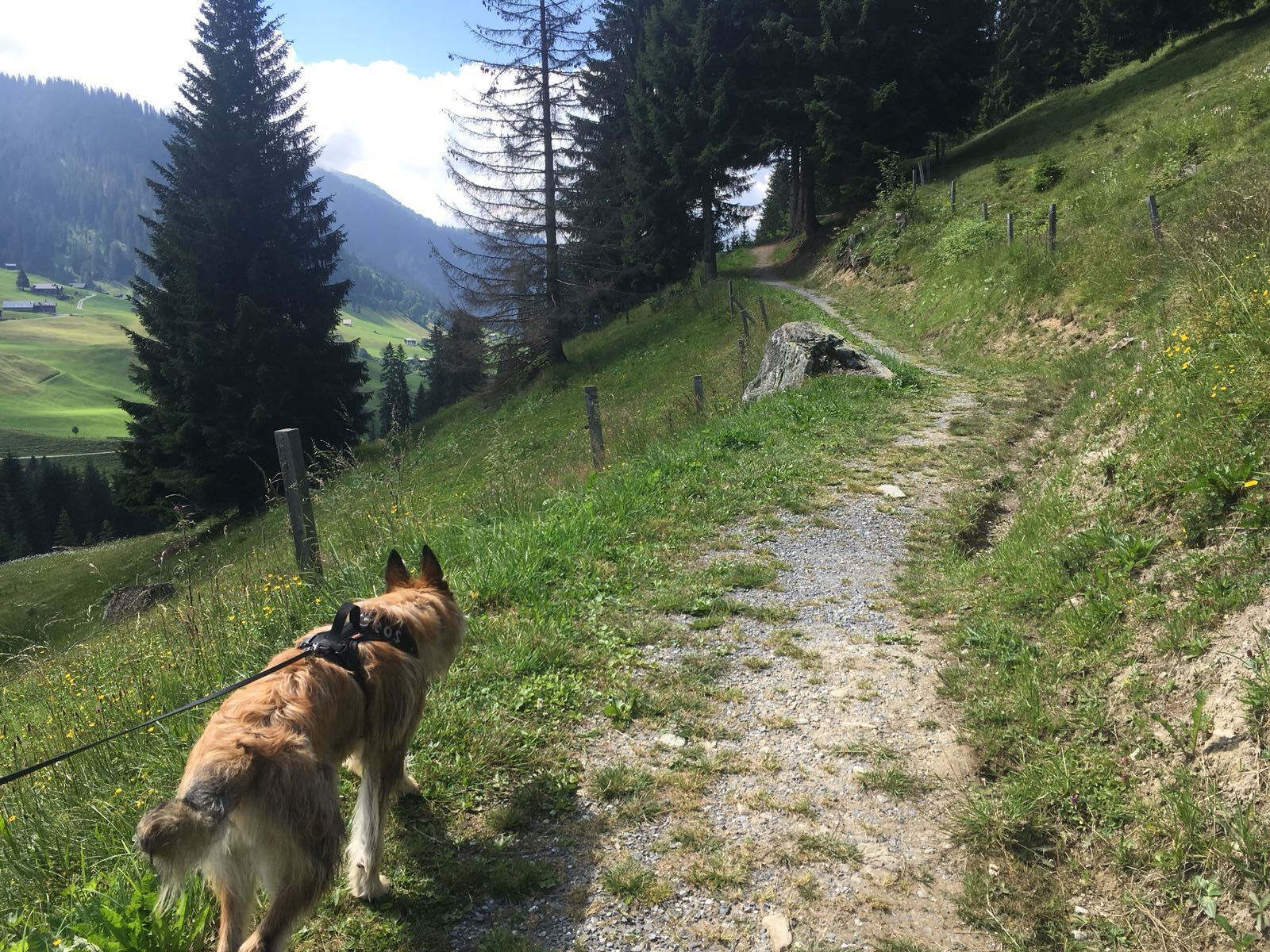
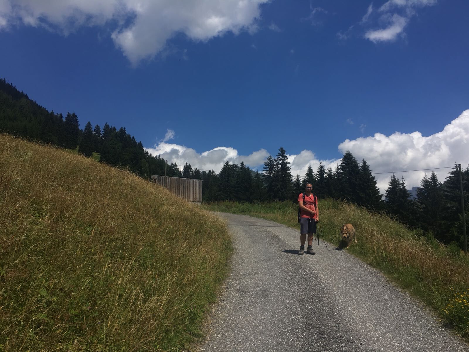
From the St. Antönien Platz post bus stop, follow the signs of the nature adventure trail towards Pany. At the beginning the road leads uphill. After about 600 m, the hiking trail branches off. Along the path around the height of Ascharina Post is the Holderboden barbecue area (wood available). After a while you come out of the forest onto a nice meadow slope with a few typical Walser alpine huts. At Gadenstätt, Bardills hiking trail inn (self-service) invites you to stop for a break. Children can enjoy the small playground there. Afterwards, the path leads back into the shady forest and continues there to Pany and through the village to the post bus station. On beautiful summer days, a detour to the wonderfully located Pany swimming pool is definitely recommended. At the associated restaurant, you can enjoy good refreshments and the magnificent panoramic view of the Prättigau.

Yes
Follow the N28 to Küblis, then take the main road towards Pany/St. Antönien and continue on it to St. Antönien.
Take the train to Küblis, then change to the post bus to St. Antönien (90.222)
All parking spaces in St. Antönien require a fee. You can pay in cash, with the Parkingpay app, or Twint at the parking lots.
Pany-St. Antönien Tourism
Panyerstrasse 39
CH-7243 Pany
Tel. +41 81 300 32 22
info@pany-stantoenien.ch
www.pany-stantoenien.ch
Prättigau Marketing
Feldweg 19
CH-7233 Jenaz
Tel. +41 (0)81 325 11 11
info@praettigau.info
www.praettigau.info
Popular tours in the neighbourhood
- 4,7
Smuggler’s path
mediumThematic route8,60 km - 5,0
Douglasshütte, Lünersee, Gafalljoch Brand bei Bludenz, Vorarlberg
lightHiking9,16 km - 4,4
Golm-Rundwanderweg im Rätikon
mediumThematic route7,28 km - 5,0
Ski tour to the Lindauer Hut (1,744 m)
lightSki tour14,0 km - 4,3
Golmer, Höhenweg und Golmer Seenrundweg
mediumMountain hiking7,62 km - 4,8
From Latschau through the Gauertal to the Lindauer Hütte
mediumSnowshoe14,0 km - 3,5
Golmer Höhenweg
mediumHiking13,8 km - 4,8
BLUDENZ | Lünersee
lightHiking6,20 km - 5,0
Schesaplana (15.07.2018)
heavyHiking8,68 km - 4,0
Golm, Seenweg
lightHiking7,43 km
Hiking & Tracking


Don't miss out on offers and inspiration for your next holiday
Your e-mail address has been added to the mailing list.