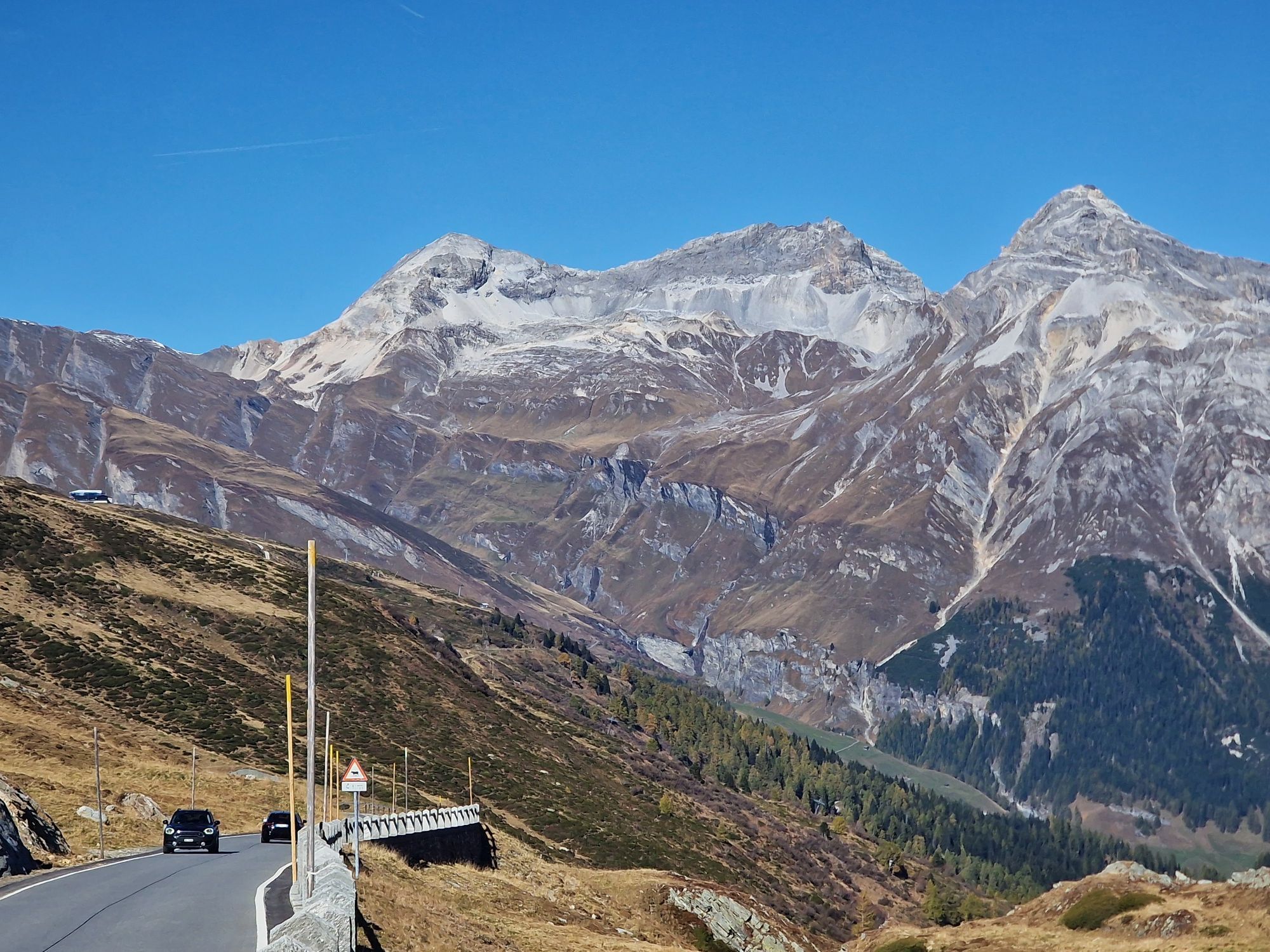
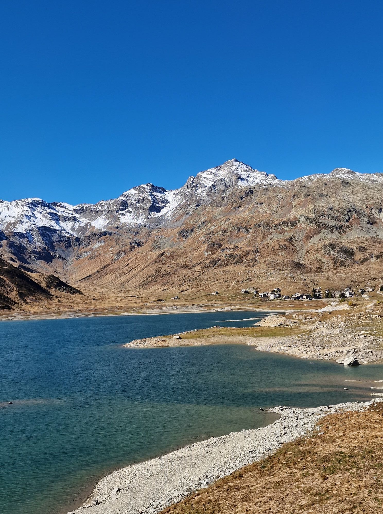
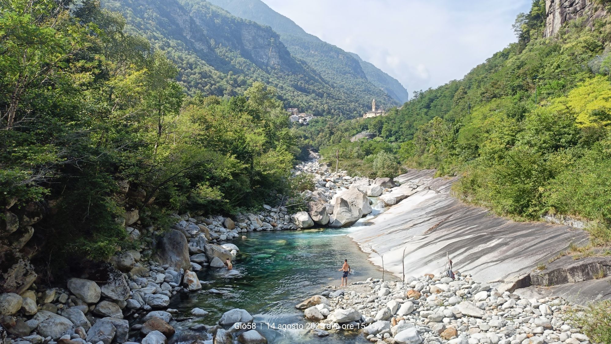
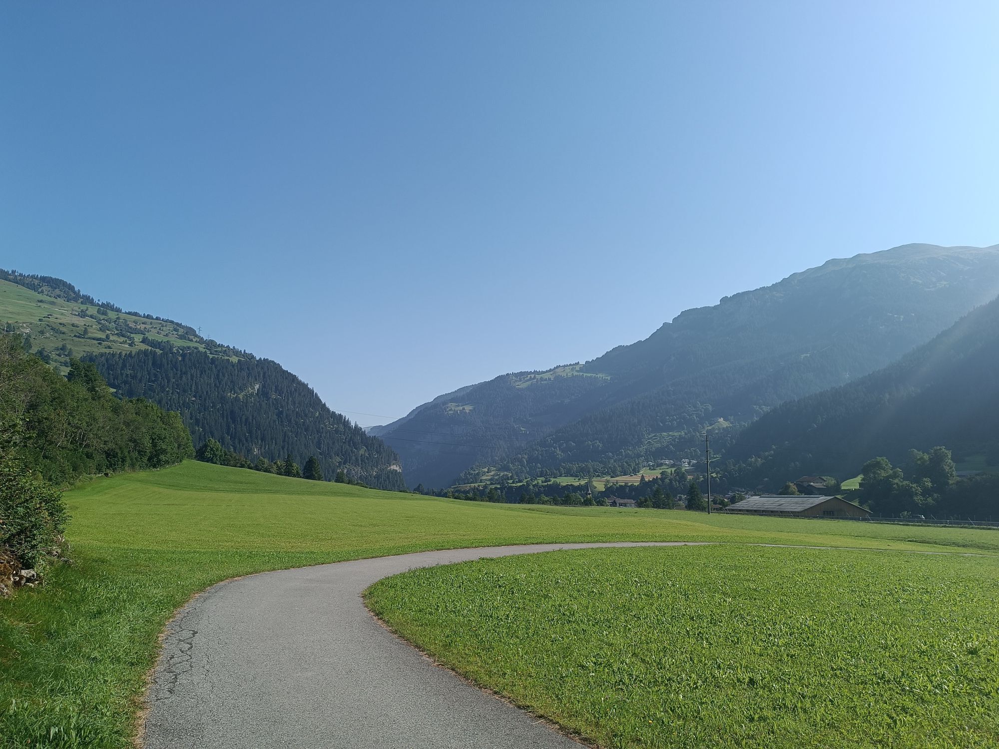
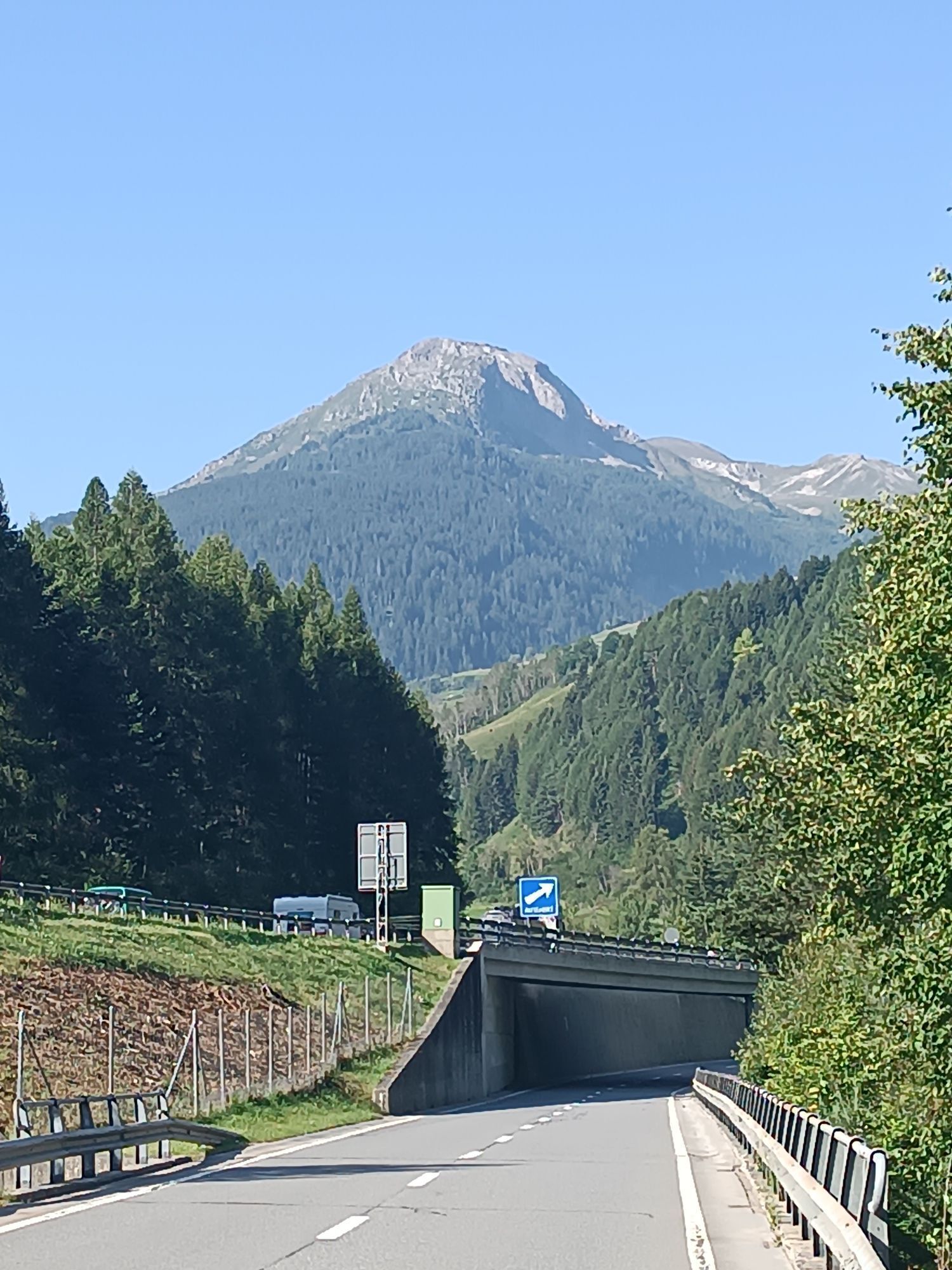
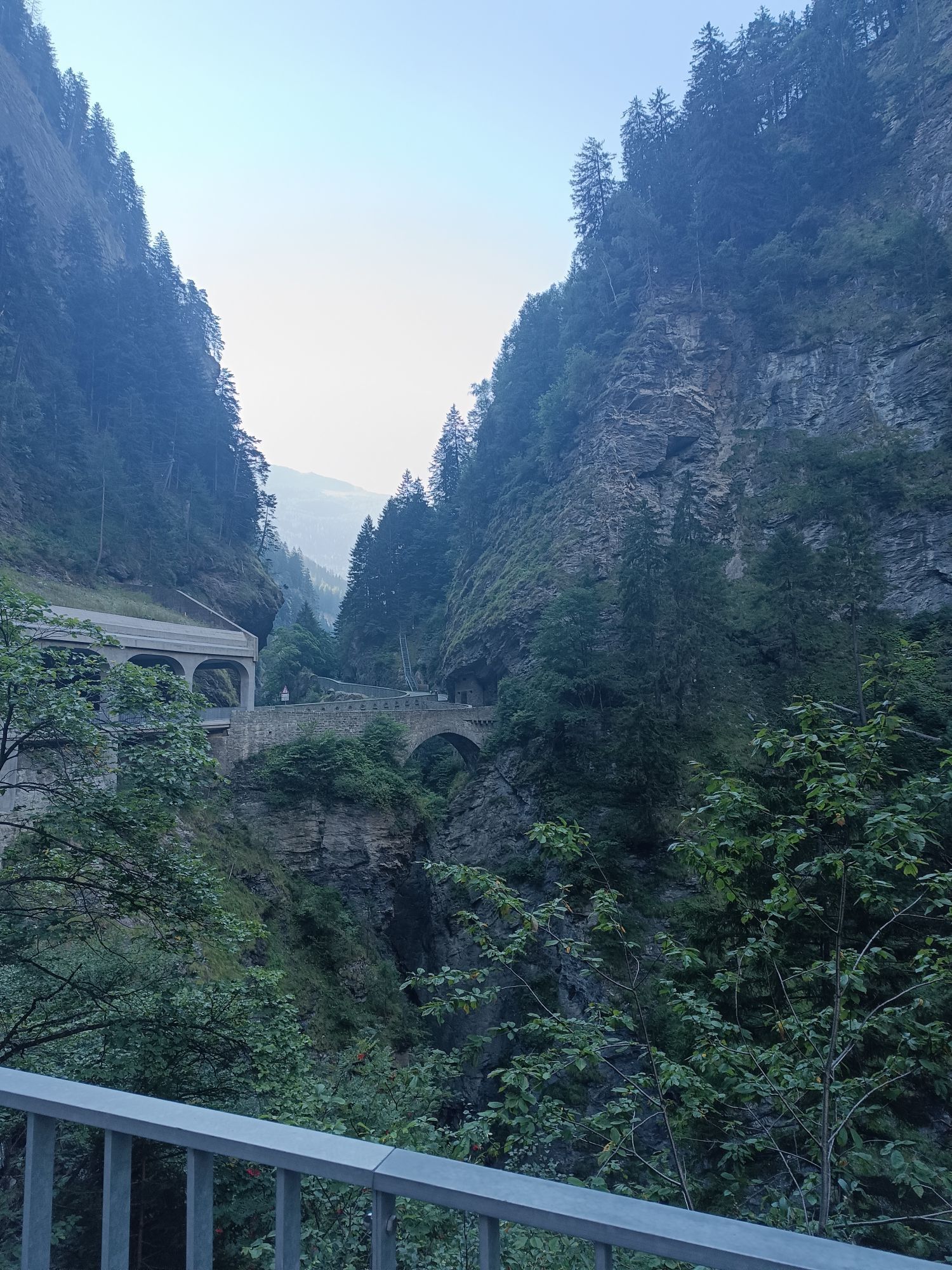
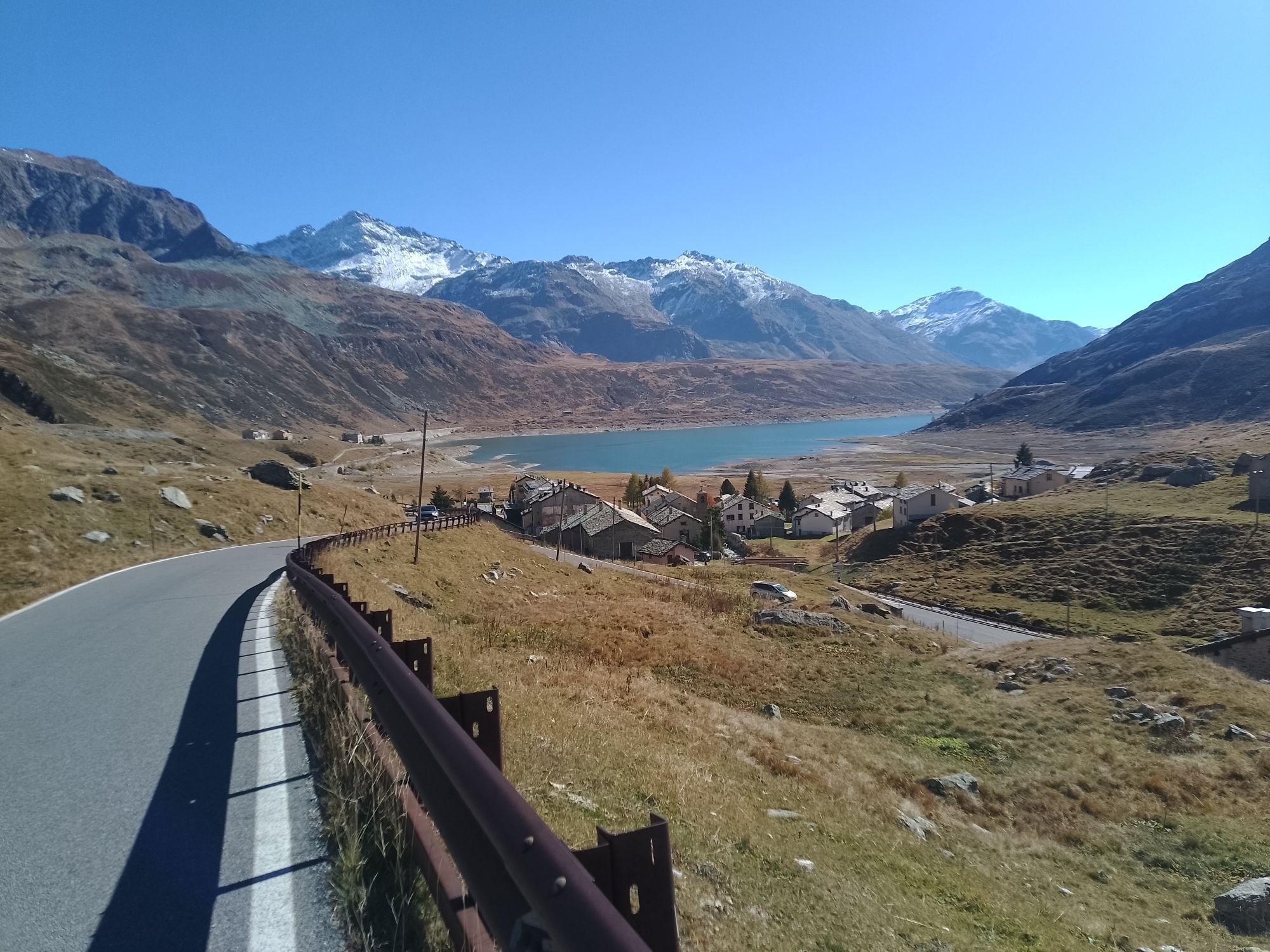
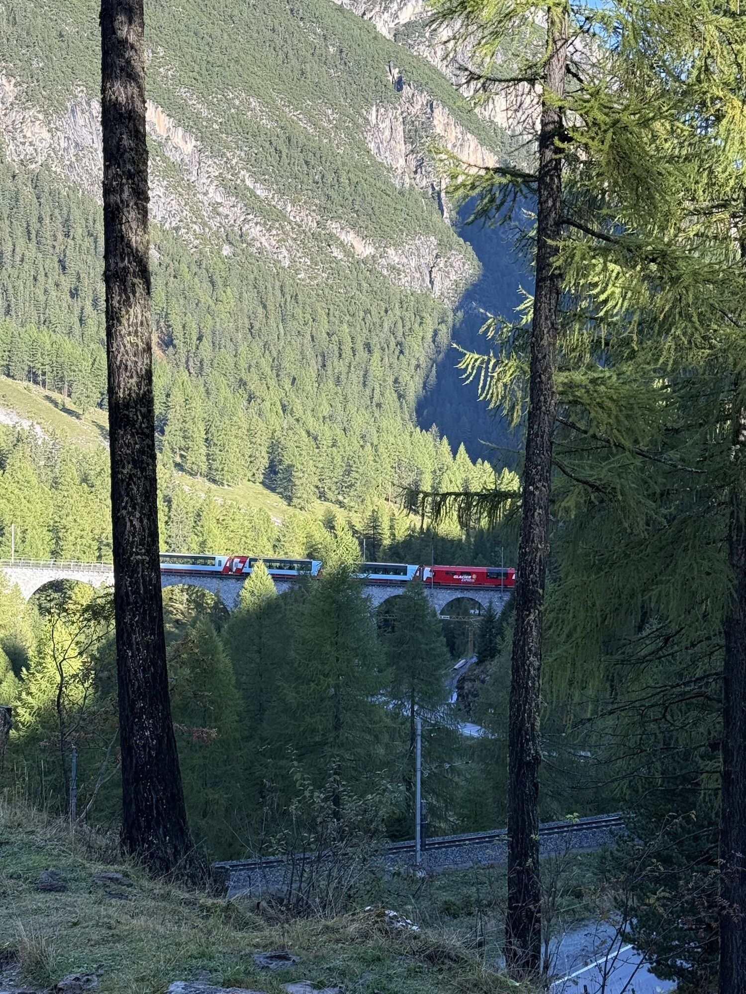
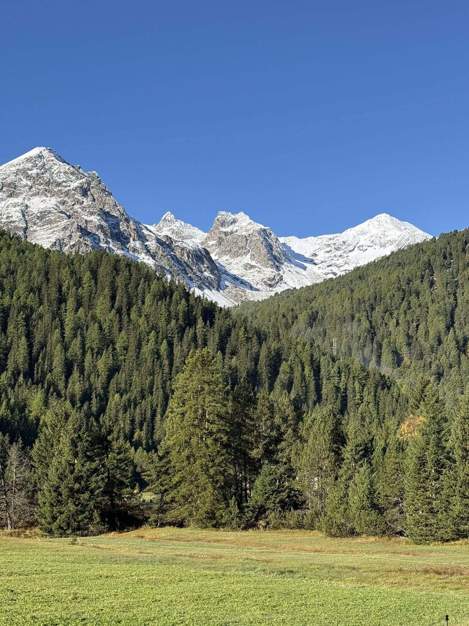
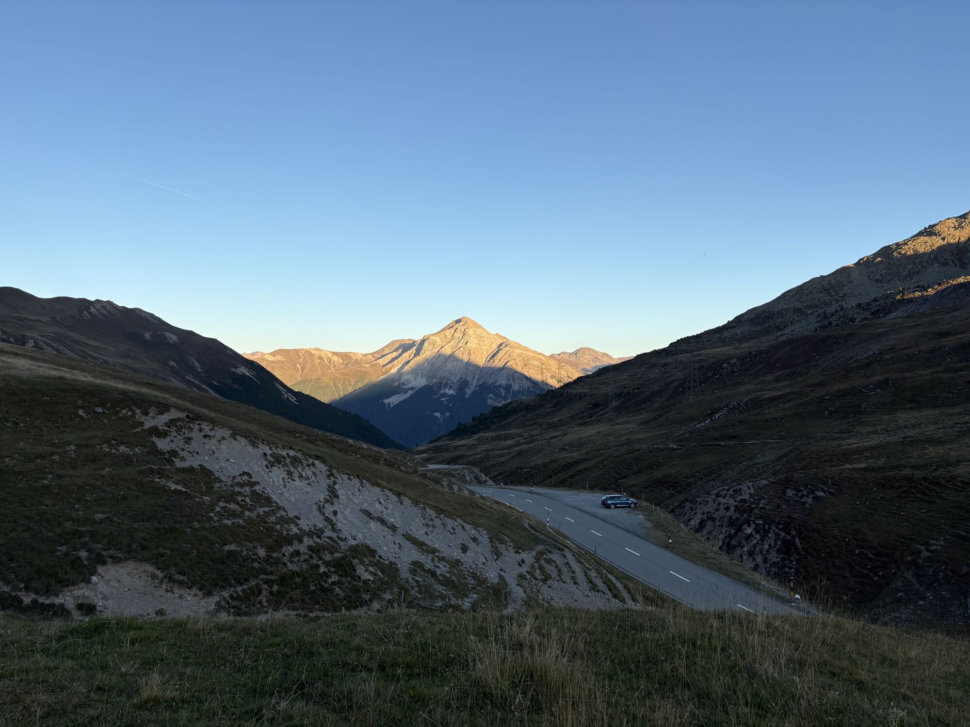
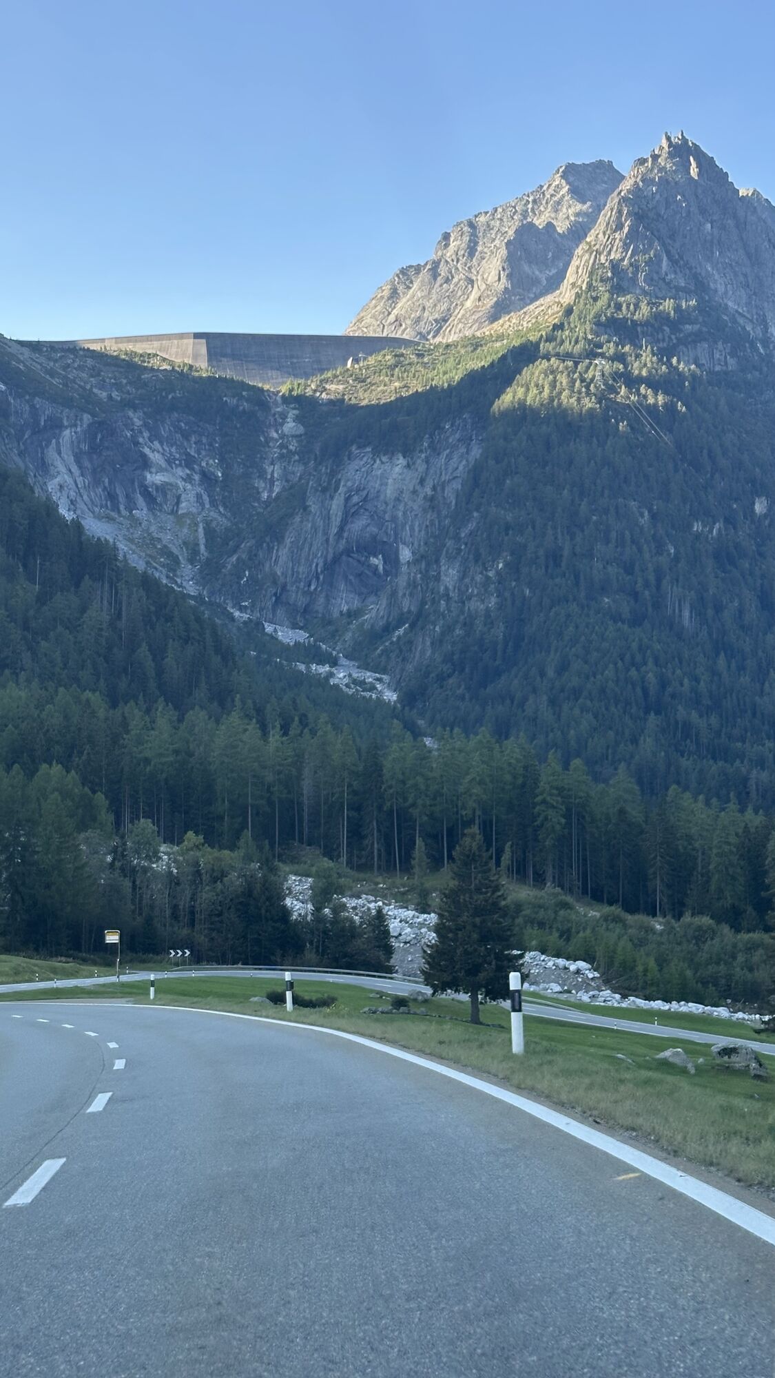
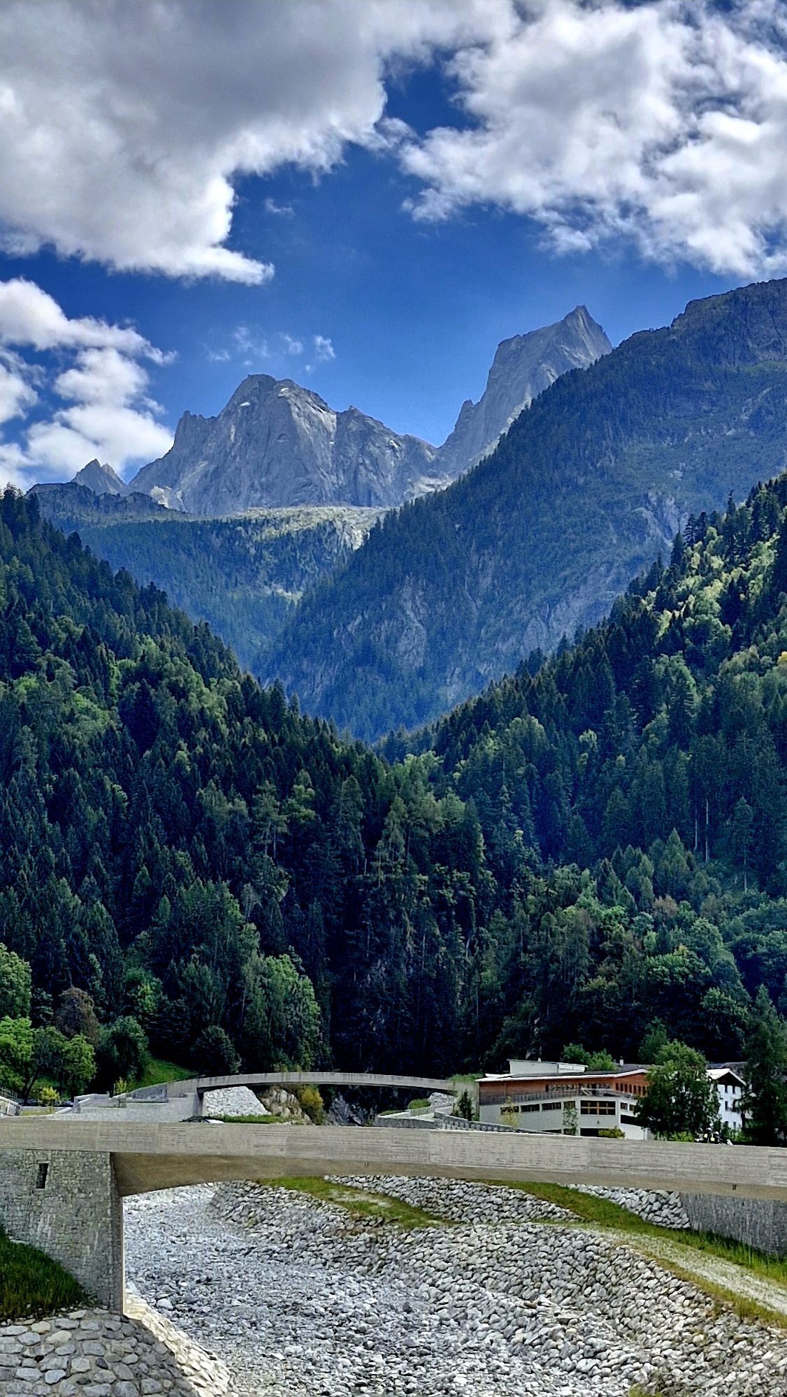
Champfèr - Chiesa Evangelica Maloja - Chiesa riformata di San Giovanni - Sankt Moritz Bad
Racing
Navigate
Navigate
Get this tour on your mobile
Champfèr - Chiesa Evangelica Maloja - Chiesa riformata di San Giovanni - Sankt Moritz Bad
Racing
179,97
km
Scan the QR code and start navigation in the bergfex app

Hiking & Tracking


Distance
179,97
km
Duration
09:56
h
Ascent
3.997
m
Sea level
325 -
2.310
m
Track download
Champfèr - Chiesa Evangelica Maloja - Chiesa riformata di San Giovanni - Sankt Moritz Bad
Racing
179,97
km


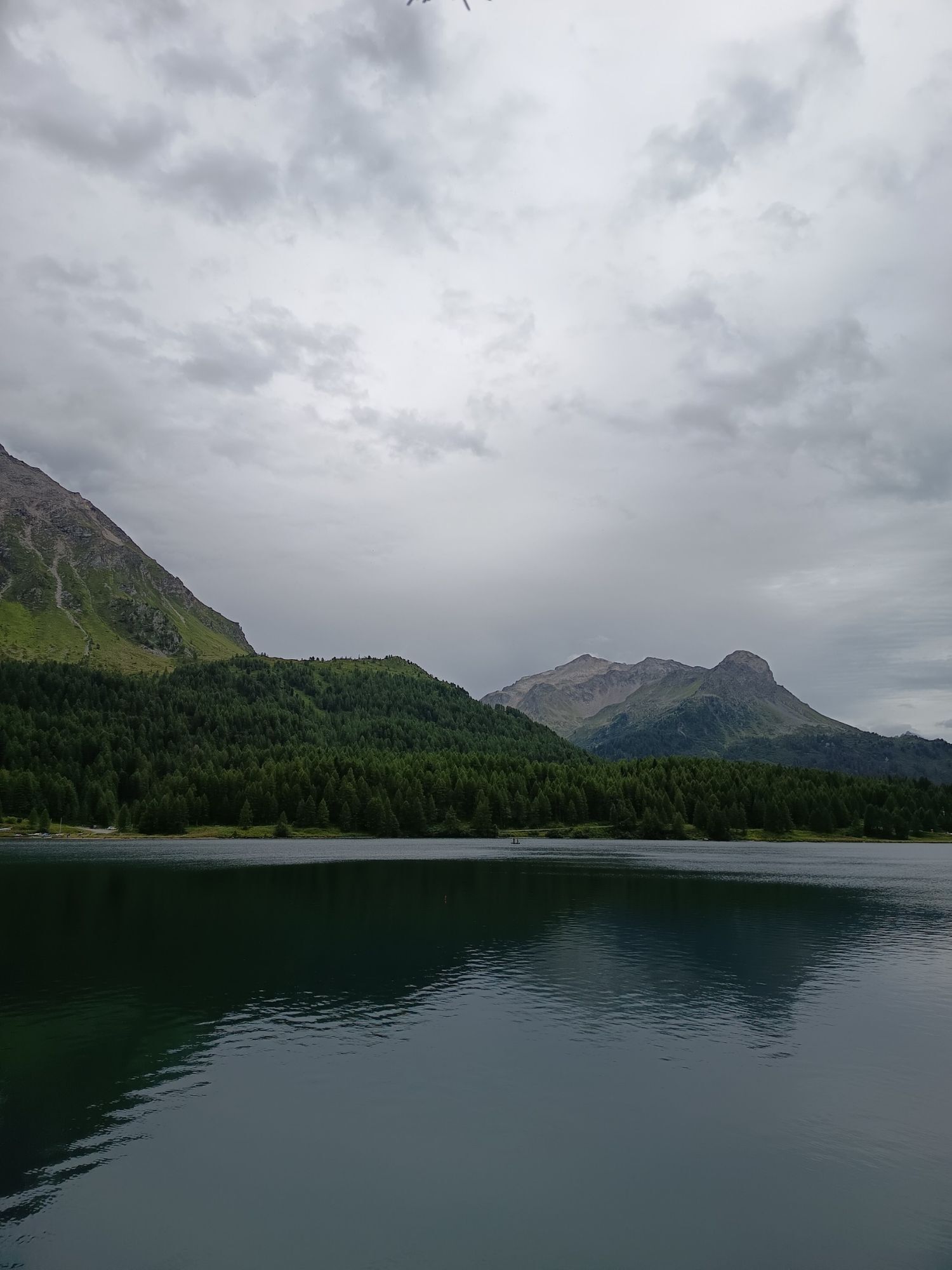
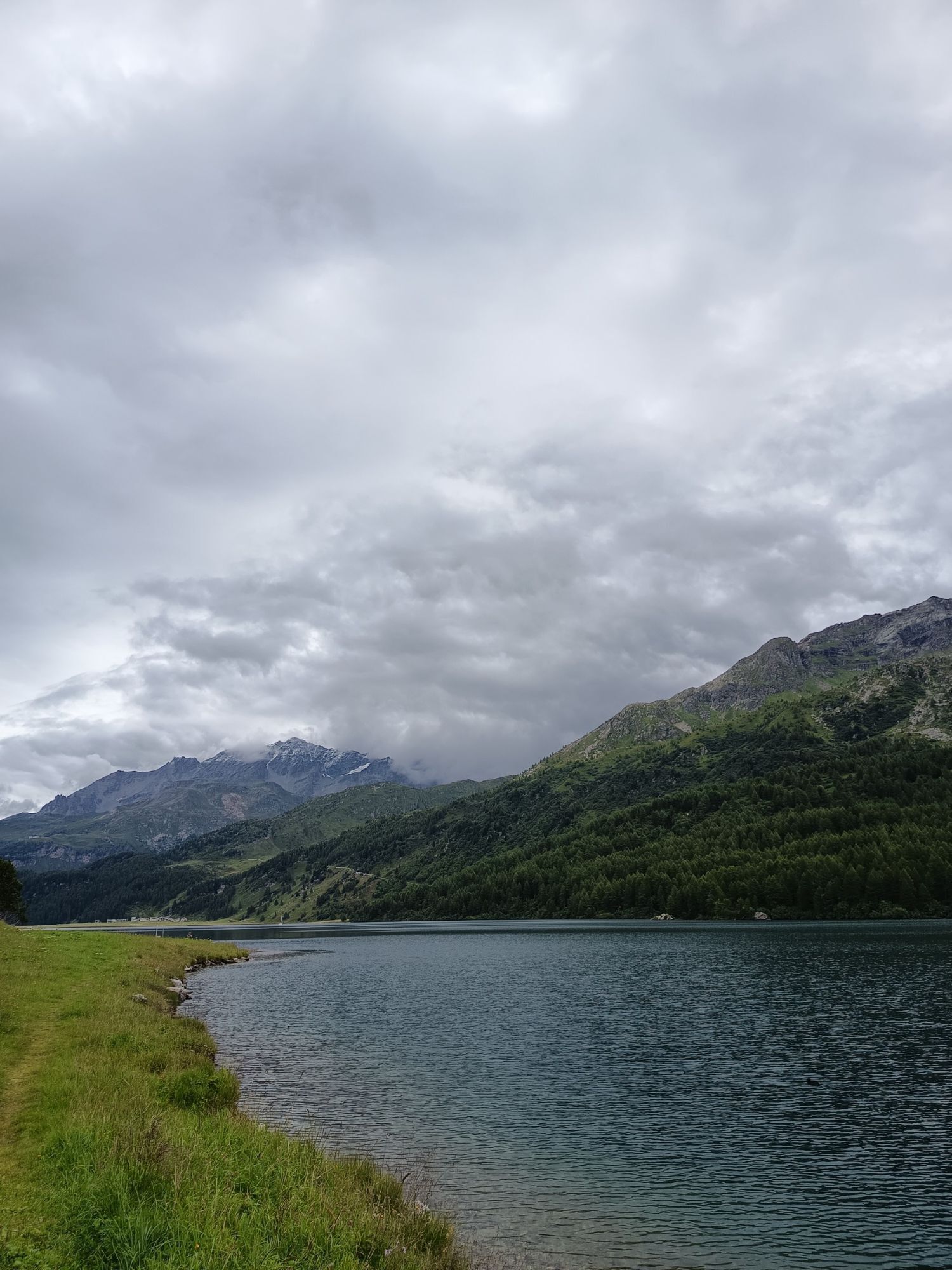
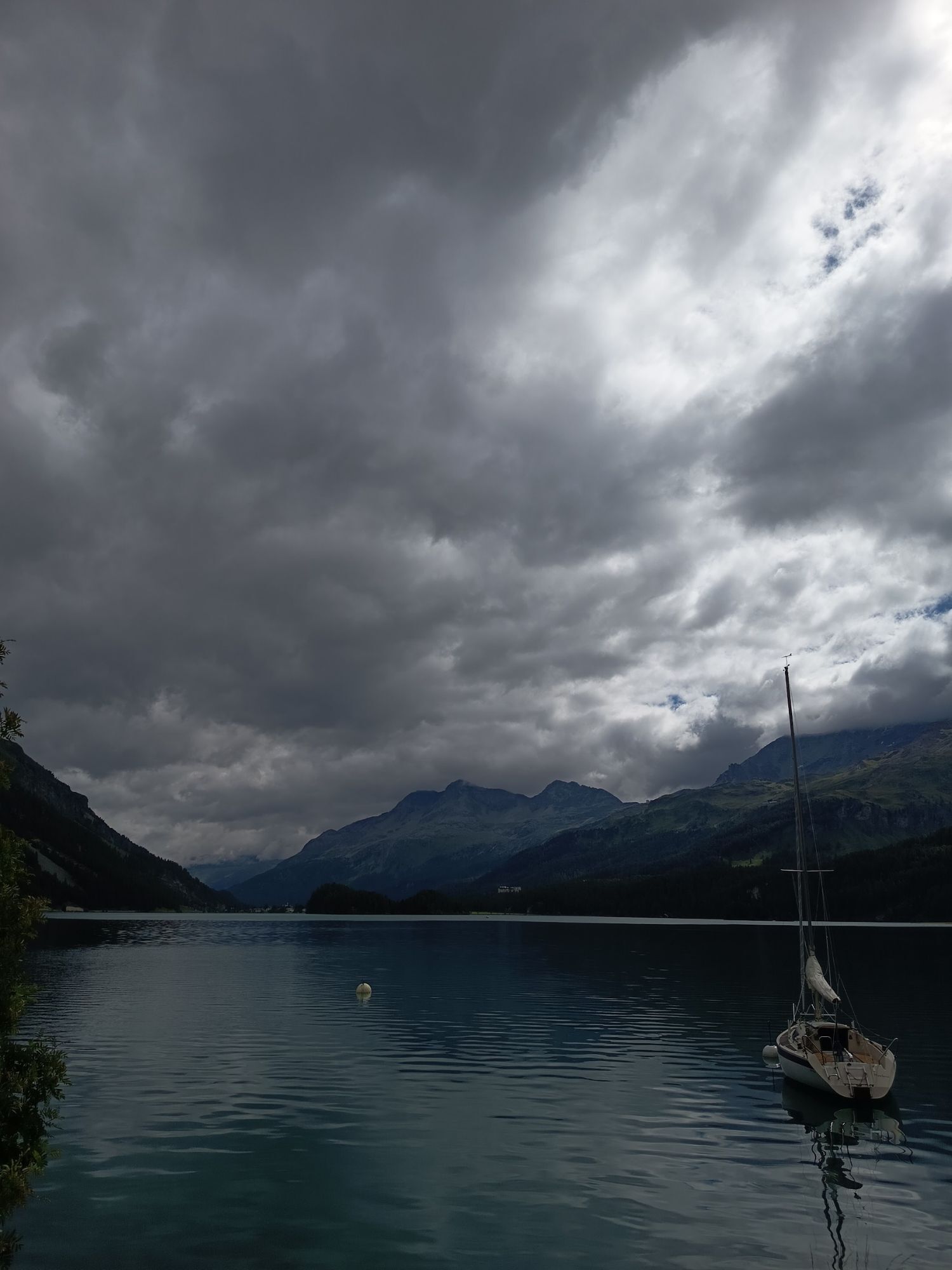
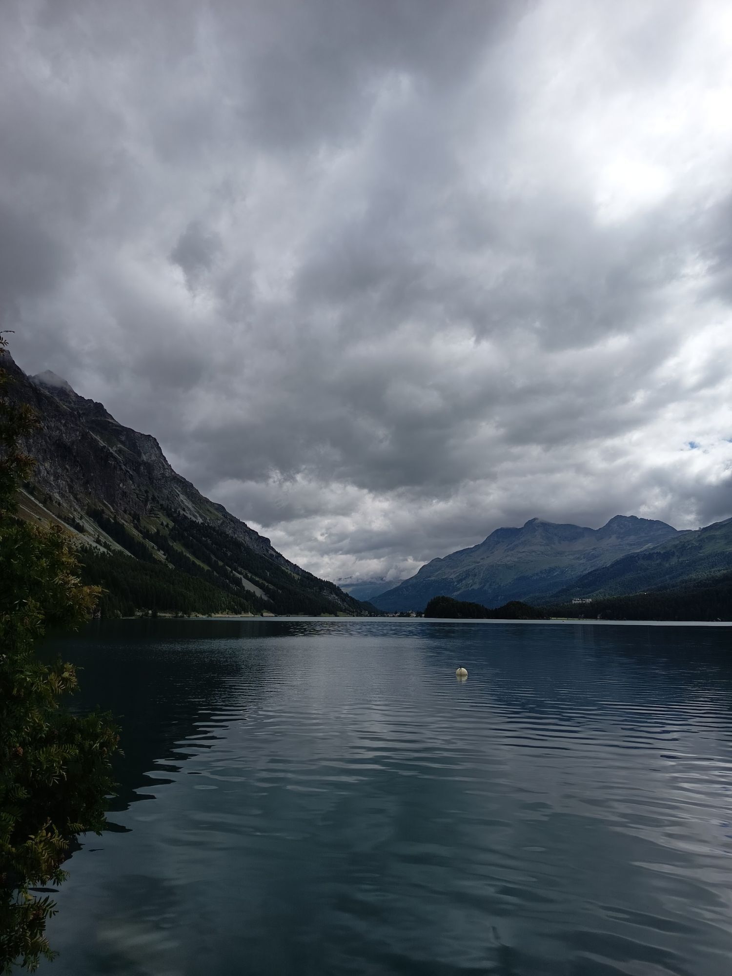
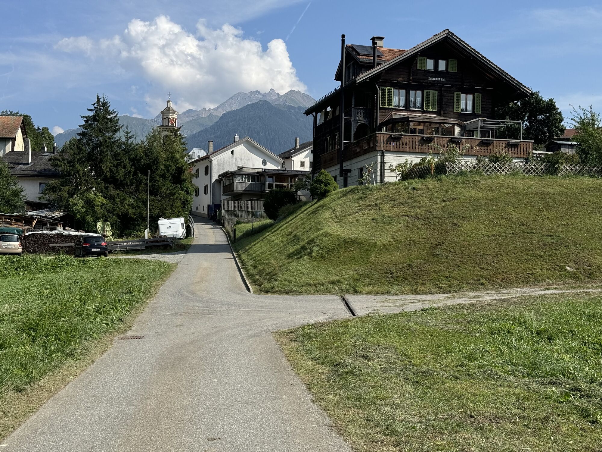
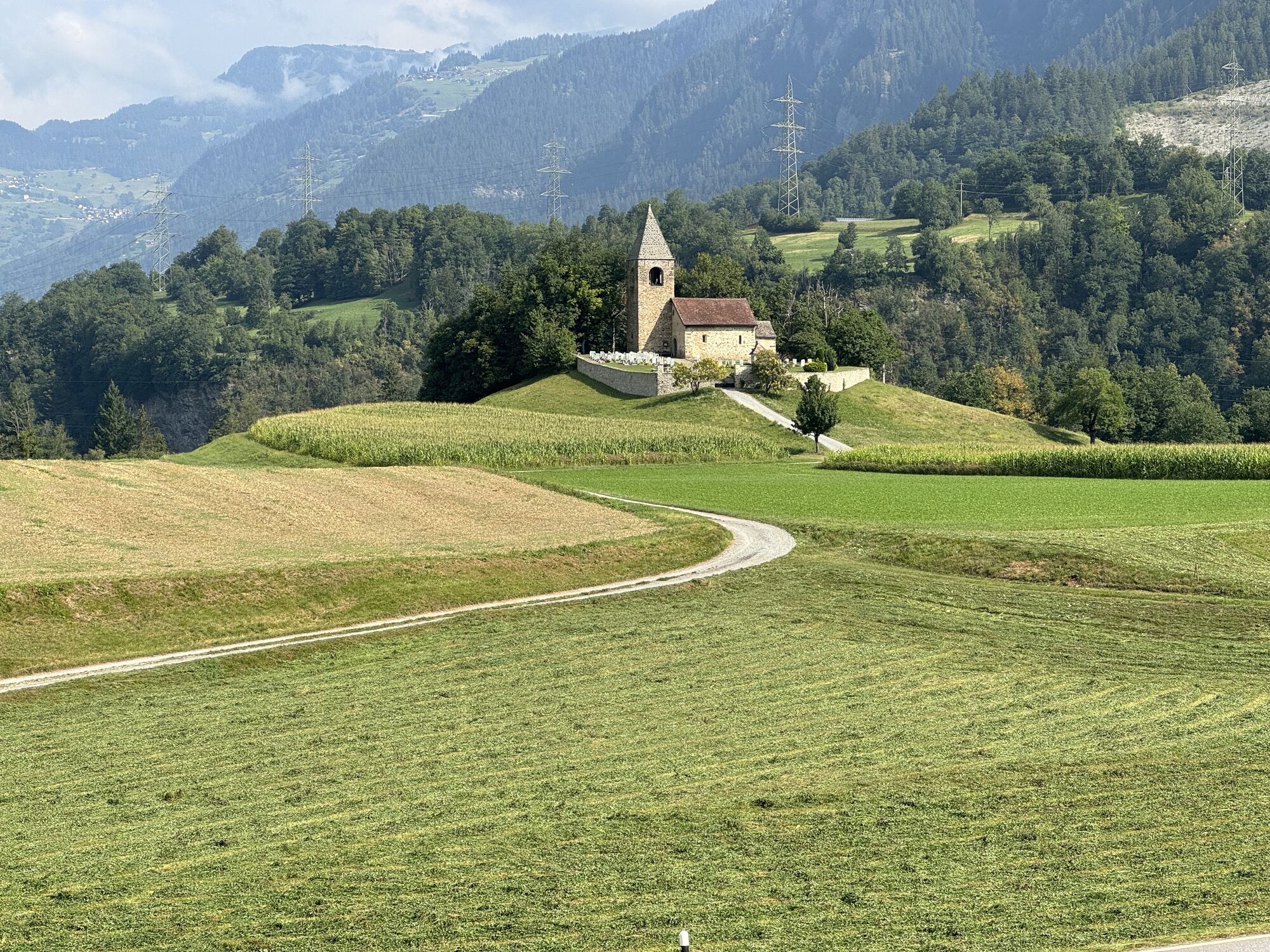
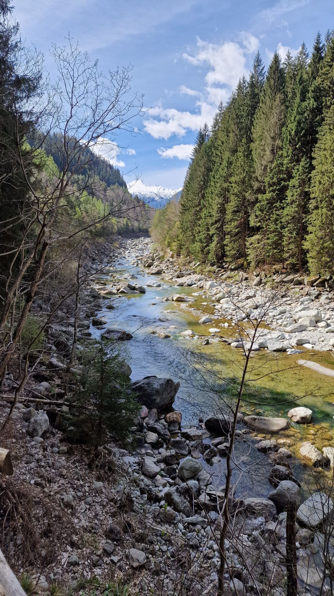
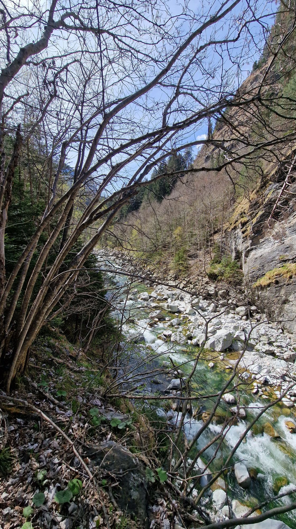
Photos from our users
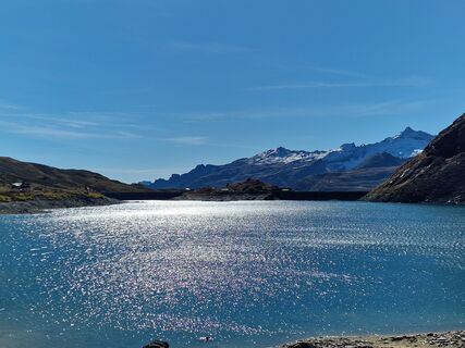
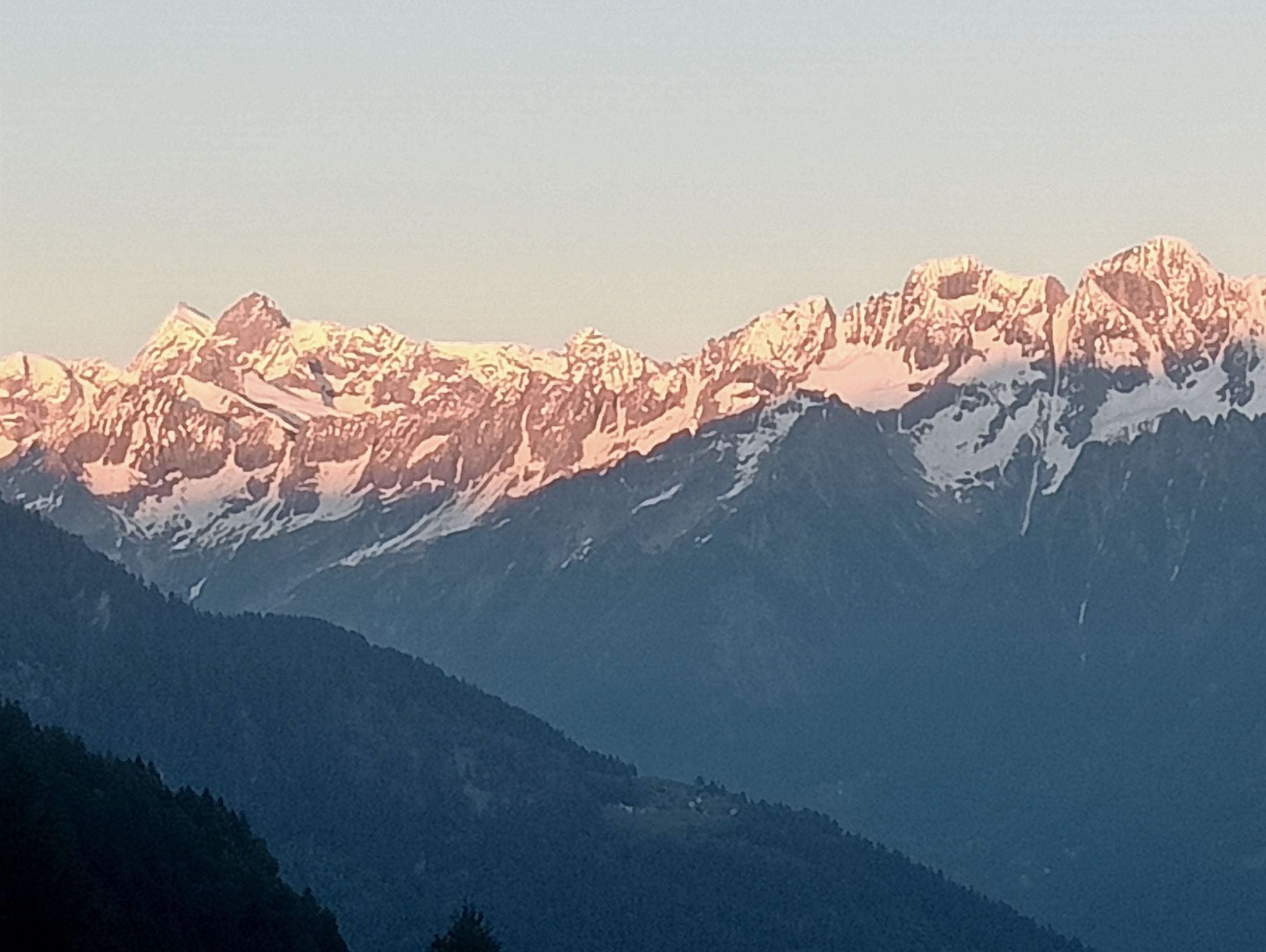
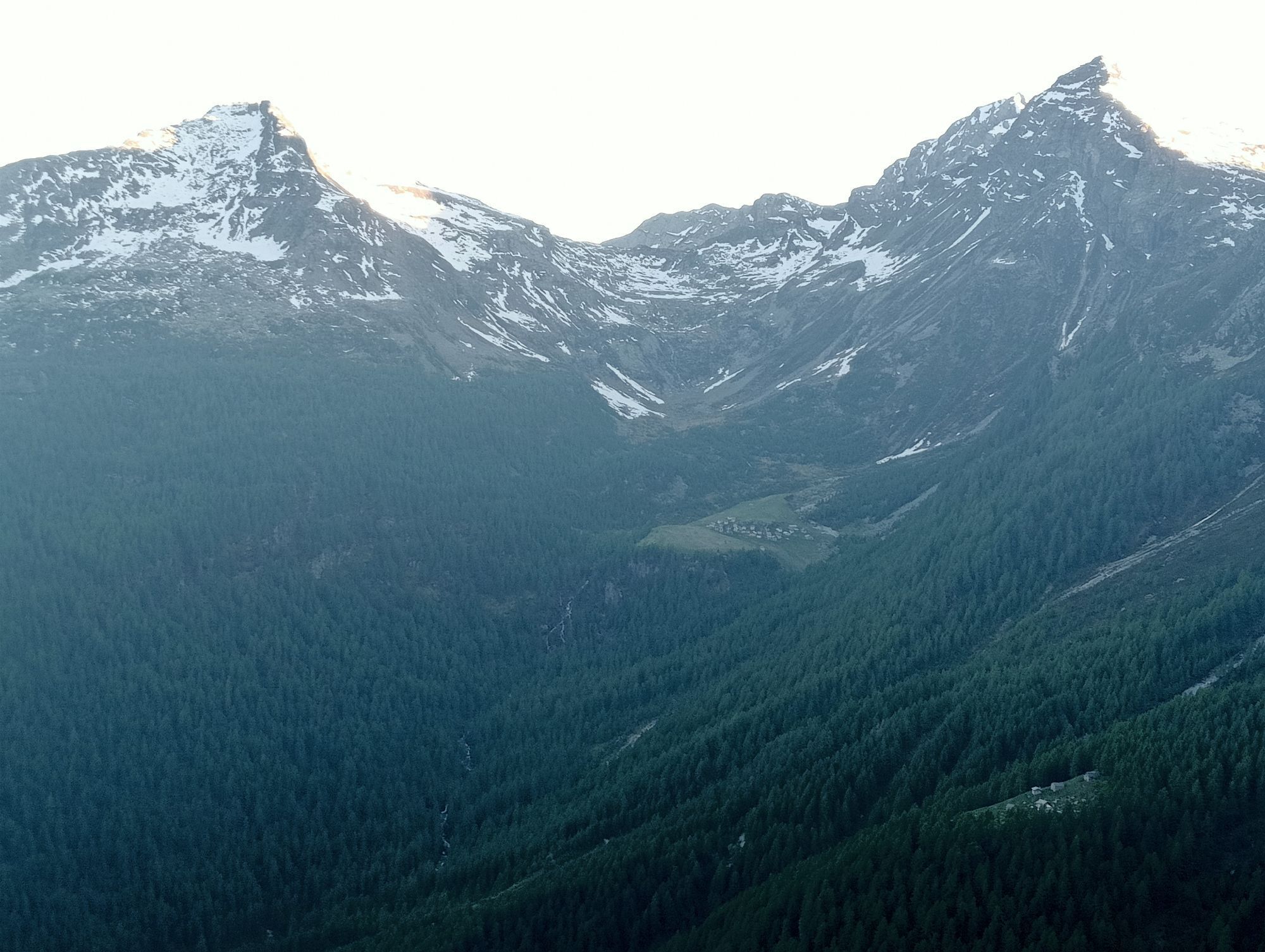
 © Cristian Mario RotaCreated on 11.10.2025
 © Cristian Mario RotaCreated on 11.10.2025
 © Cristian Mario RotaCreated on 11.10.2025
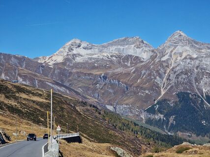 © Cristian Mario RotaCreated on 11.10.2025
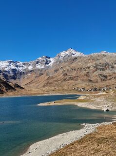 © Cristian Mario RotaCreated on 11.10.2025
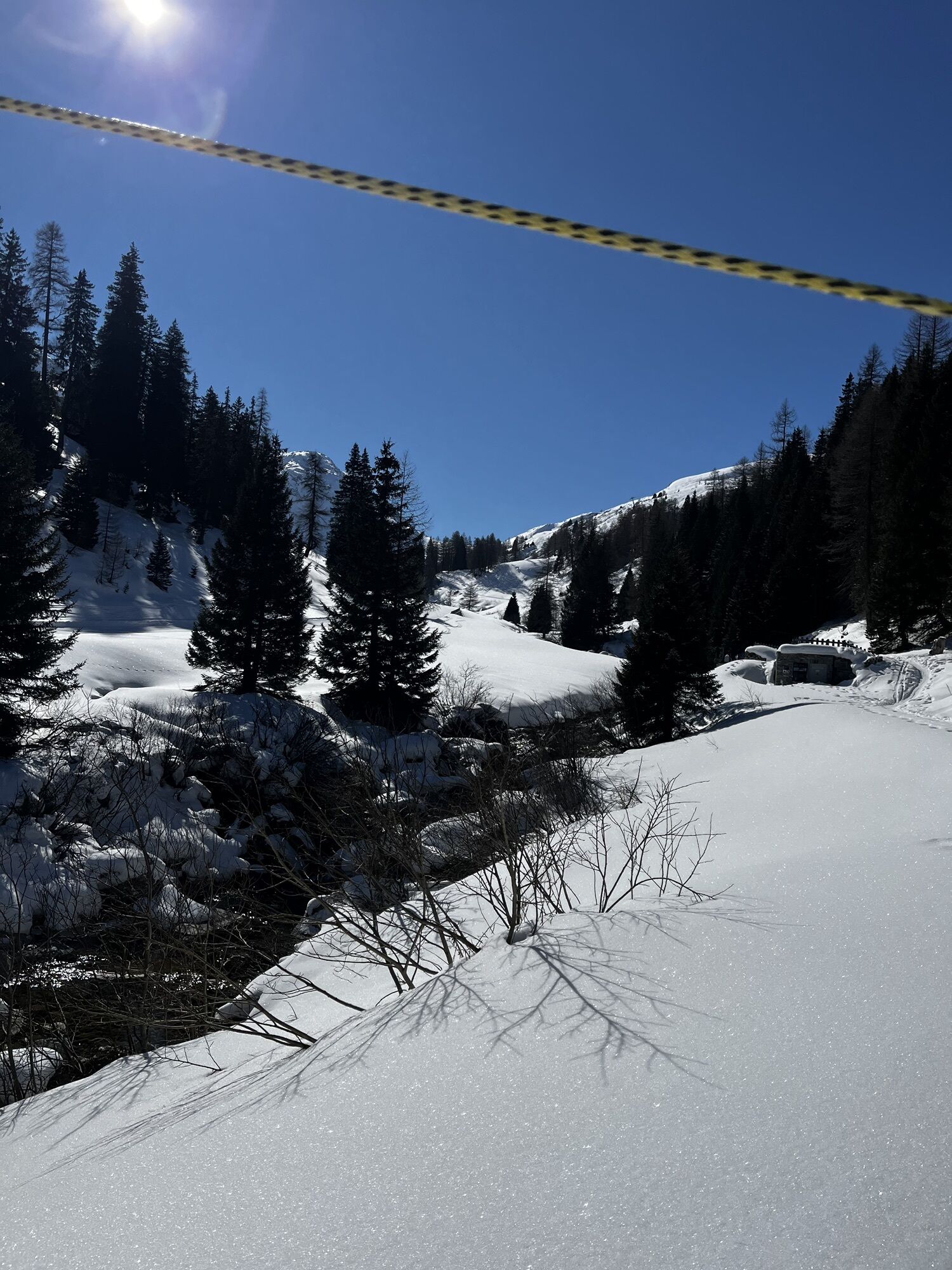
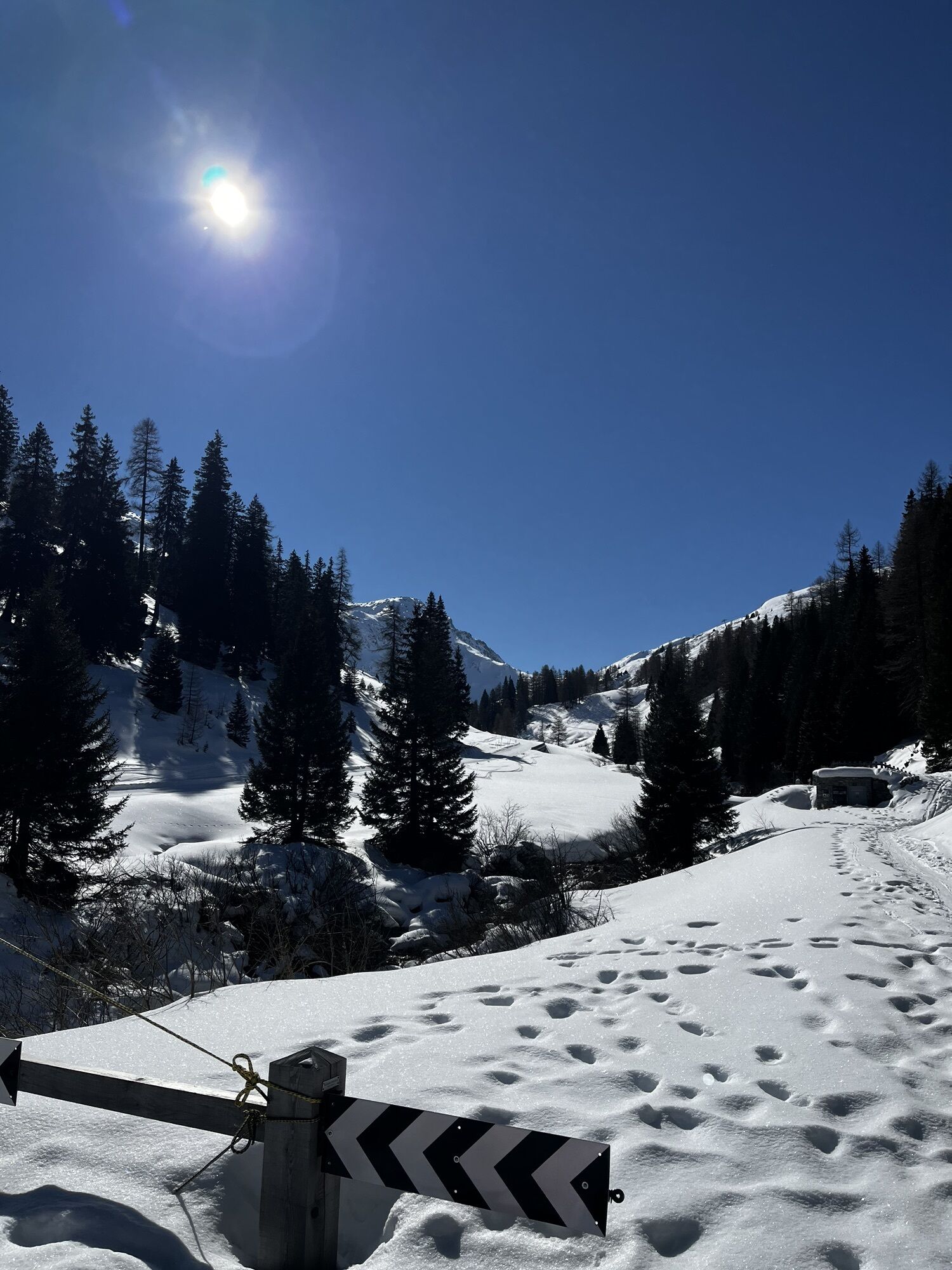
 © Gio58Created on 14.08.2025
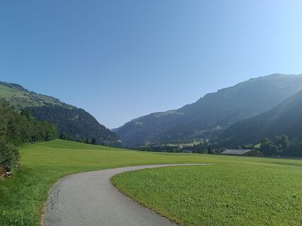
 © Thomas WaldraffCreated on 11.08.2025
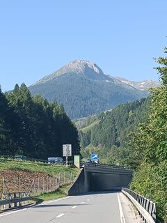 © Thomas WaldraffCreated on 11.08.2025
 © Thomas WaldraffCreated on 11.08.2025
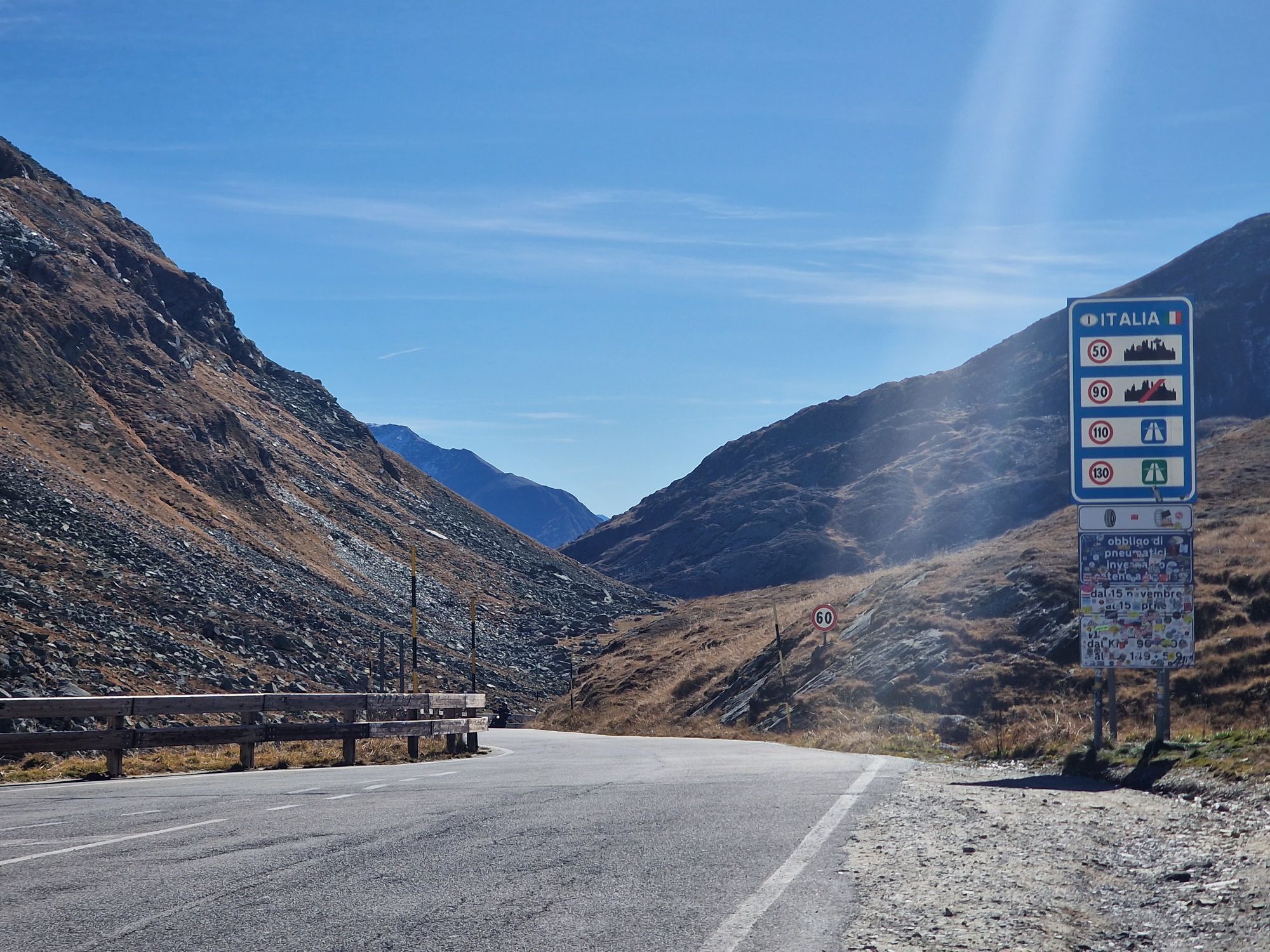
 © Daniel BulfoniCreated on 14.10.2024
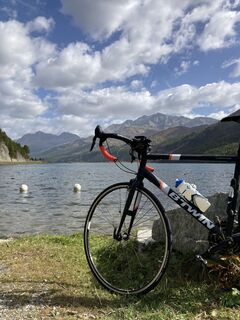
 © Mauro Del CurtoCreated on 08.10.2023
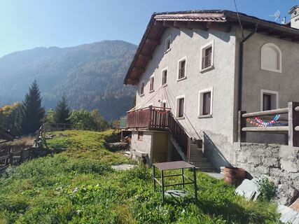
 © Fabio SalviniCreated on 12.10.2025
 © Fabio SalviniCreated on 12.10.2025
 © Christopher RubinCreated on 28.09.2025
 © Christopher RubinCreated on 28.09.2025
 © Jako KoelCreated on 19.09.2025
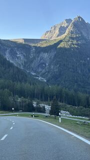
 © Robert RuckstuhlCreated on 11.09.2025
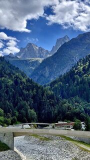 © El Bandito76Created on 23.08.2025
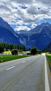 © El Bandito76Created on 23.08.2025
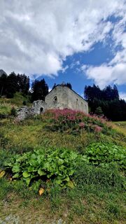 © El Bandito76Created on 23.08.2025
 © El Bandito76Created on 23.08.2025
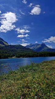 © El Bandito76Created on 23.08.2025
 © El Bandito76Created on 23.08.2025
 © El Bandito76Created on 23.08.2025
 © Thomas BodmerCreated on 01.08.2025
 © Thomas BodmerCreated on 01.08.2025
 © Thomas BodmerCreated on 01.08.2025
 © Thomas BodmerCreated on 01.08.2025
 © AnerCreated on 27.07.2025
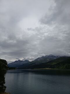 © AnerCreated on 27.07.2025
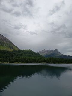 © AnerCreated on 27.07.2025
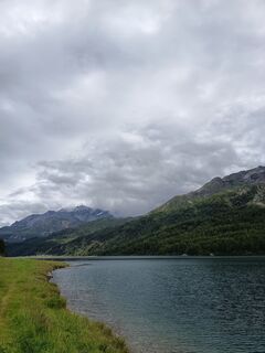 © AnerCreated on 27.07.2025
 © AnerCreated on 27.07.2025
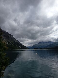 © AnerCreated on 27.07.2025
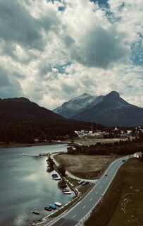
 © Aurelian BöhlerCreated on 20.07.2025
 © simone ravasiCreated on 30.05.2025
 © simone ravasiCreated on 30.05.2025
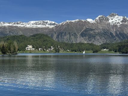 © Manfred Fuchs 3Created on 30.05.2025
 © Marisa scafettaCreated on 02.03.2025
 © Marisa scafettaCreated on 02.03.2025
 © Marisa scafettaCreated on 02.03.2025
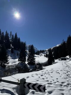 © Marisa scafettaCreated on 02.03.2025
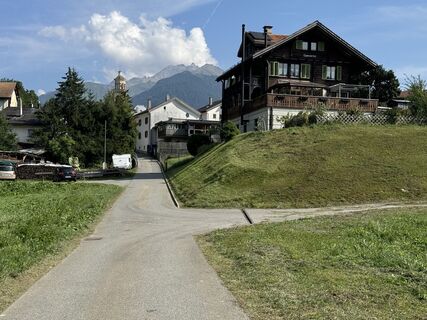
 © Pass ChristinaCreated on 21.08.2024
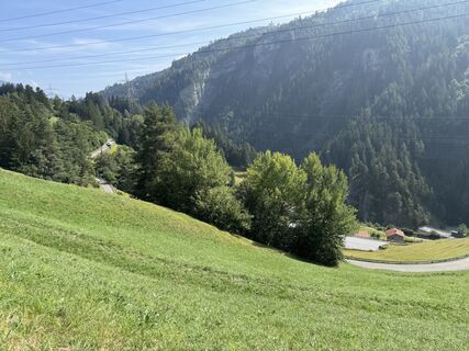 © Pass ChristinaCreated on 21.08.2024
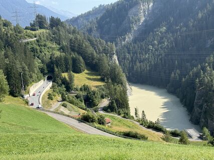 © Pass ChristinaCreated on 21.08.2024
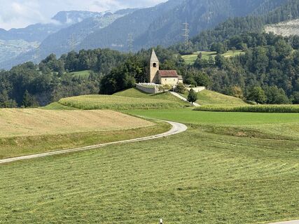 © Pass ChristinaCreated on 21.08.2024
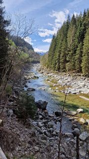
 © Marc SchmidigCreated on 27.04.2023
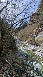 © Marc SchmidigCreated on 27.04.2023


Route
Chiesa riformata di San Giovanni
(1.458 m)
Place of worship
21,0 km
Chiesa riformata di San Giorgio
(1.030 m)
Place of worship
30,2 km
Chiesa dell'Invenzione della Croce
(511 m)
Place of worship
42,7 km
Santuario della Madonna di Gallivaggio
(796 m)
Place of worship
55,0 km
Rifugio Stuetta
(1.889 m)
Shelter
71,9 km
Sogn Gieri
(902 m)
Place of worship
129,1 km
Baselgia refurmeda Crasta
(1.731 m)
Place of worship
175,3 km
Route
Champfèr - Chiesa Evangelica Maloja - Chiesa riformata di San Giovanni - Sankt Moritz Bad
Racing
179,97
km
Champfèr
(1.825 m)
Village
2,2 km
Silvaplana
(1.815 m)
Village
4,7 km
Plazza da giuver Mulets
(1.801 m)
Playground
5,1 km
Föglias
(1.796 m)
Settlement
7,9 km
Stüvetta
(1.809 m)
Corridor/terrain
9,0 km
Sils Baselgia
(1.800 m)
Neighbourhood
9,2 km
Clos
(1.798 m)
Neighbourhood
9,2 km
Puoncha
(1.822 m)
Corridor/terrain
9,6 km
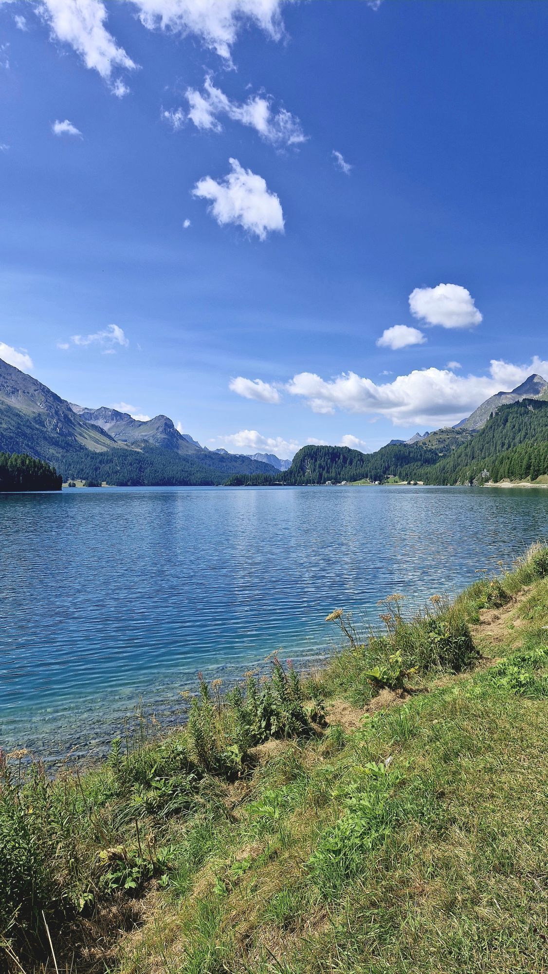
Plaun da Lej
(1.802 m)
Settlement
11,9 km
Plaun da Lej (See)
(1.305 m)
Ferry landing stage
12,1 km
Murtaröl
(1.798 m)
Restaurant
12,1 km
Splüga
(1.875 m)
Settlement
12,8 km
Capolago
(1.803 m)
Settlement
14,7 km
Chiesa Evangelica Maloja
(1.808 m)
Place of worship
15,1 km
Schweizerhaus
(1.809 m)
Restaurant
15,6 km
Maloja Posta
(1.809 m)
Neighbourhood
15,6 km
Chiesa dei Santi Pietro e Paolo
(1.811 m)
Place of worship
15,6 km
Maloja
(1.809 m)
Village
15,8 km
Cranch dal Malögia
(1.735 m)
Corridor/terrain
17,0 km
Plan Malögia
(1.585 m)
Corridor/terrain
18,6 km
Pra da Pila
(1.570 m)
Corridor/terrain
19,0 km
Cavril
(1.551 m)
Settlement
19,5 km
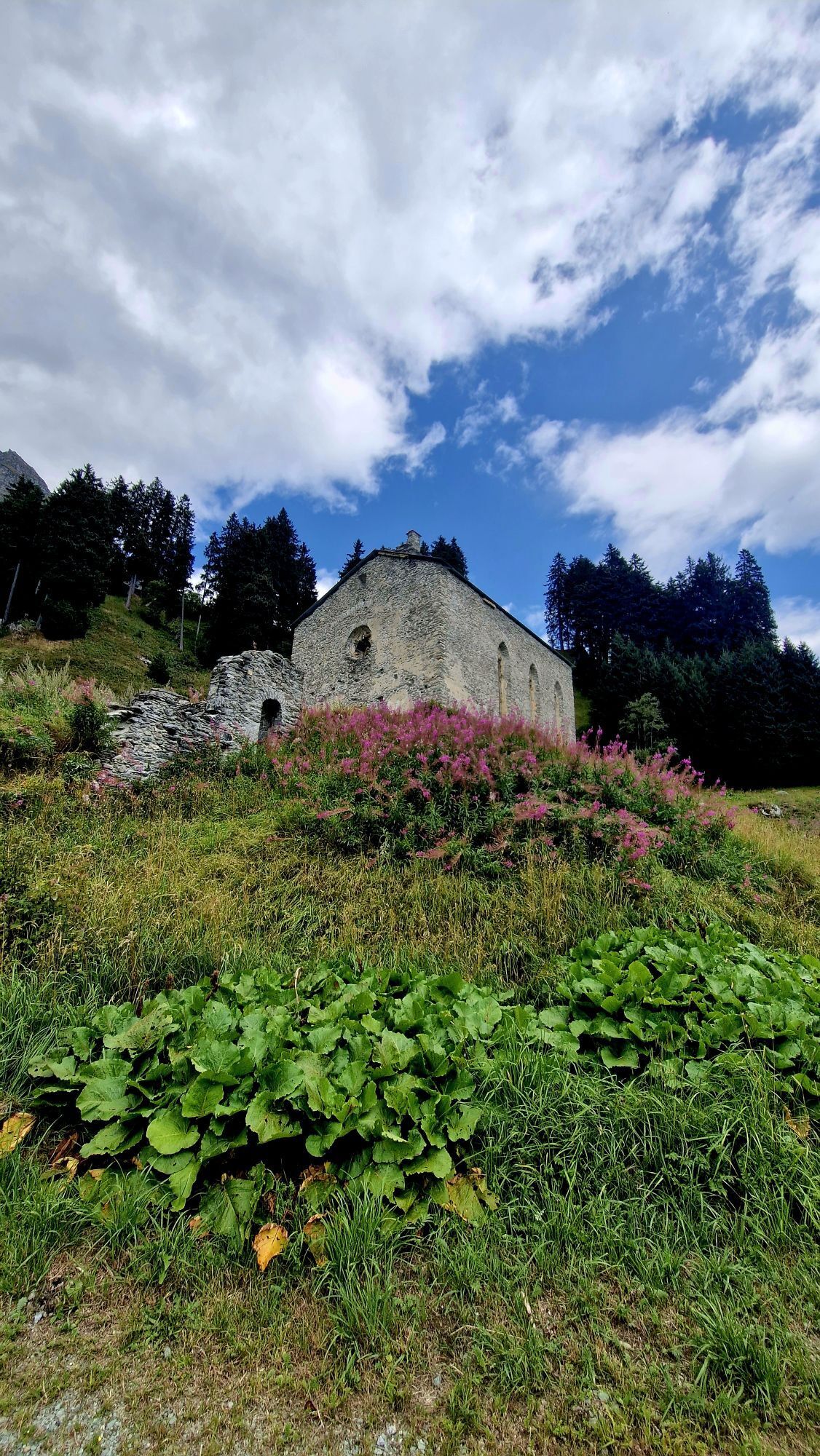
Chiesa riformata di San Giovanni
(1.458 m)
Place of worship
21,0 km
Ristorantino Bar Sett
(1.456 m)
Restaurant
21,1 km
Casaccia
(1.458 m)
Village
21,2 km
Löbbia
(1.436 m)
Settlement
22,0 km
Nasciarina
(1.370 m)
Corridor/terrain
24,0 km
Röivan
(1.346 m)
Settlement
24,3 km
Tognaca
(1.327 m)
Corridor/terrain
24,5 km
Pranzaira
(1.195 m)
Settlement
26,2 km
Runcalacc
(1.079 m)
Corridor/terrain
28,0 km
Vicosoprano
(1.067 m)
Village
28,1 km
Sur Albigna
(1.070 m)
Neighbourhood
28,5 km
Borgonovo
(1.045 m)
Village
29,9 km
San Pietro
(1.031 m)
Corridor/terrain
30,2 km
Chiesa riformata di San Giorgio
(1.030 m)
Place of worship
30,2 km
Stampa
(995 m)
Settlement
31,1 km
Al Calcett
(993 m)
Neighbourhood
31,2 km
Mulin
(982 m)
Corridor/terrain
31,3 km
Clüs
(978 m)
Corridor/terrain
31,7 km
Punt Alt
(954 m)
Corridor/terrain
32,2 km
La Porta
(864 m)
Settlement
33,8 km
Promontogno
(832 m)
Village
34,1 km
Sottoponte
(814 m)
Settlement
34,3 km
Bondo
(823 m)
Village
34,5 km
Punt Spizarun - Cantiere
(794 m)
Corridor/terrain
34,5 km
Spino
(793 m)
Settlement
34,6 km
Clavera
(788 m)
Corridor/terrain
35,0 km
Farzett
(771 m)
Settlement
35,9 km
Dangal
(763 m)
Corridor/terrain
36,3 km
Dangal da Mezz
(763 m)
Corridor/terrain
36,4 km
Sponda da Dangal
(772 m)
Corridor/terrain
36,6 km
Pezza Grassa
(743 m)
Corridor/terrain
36,6 km
Böcc
(731 m)
Corridor/terrain
36,9 km
Plän Caroggia
(740 m)
Corridor/terrain
36,9 km
Plän Mäira
(715 m)
Corridor/terrain
37,1 km
Castasegna
(690 m)
Village
37,3 km
Valico di Castasegna
(685 m)
Corridor/terrain
37,6 km
Dogana
(688 m)
Neighbourhood
37,8 km
Crotto Ghiggi
(649 m)
Restaurant
38,5 km
Case Fornari
(641 m)
Corridor/terrain
38,9 km
Pian della Cà
(647 m)
Neighbourhood
39,1 km
Case Foratti
(653 m)
Neighbourhood
39,5 km
Case Scattoni
(638 m)
Neighbourhood
39,7 km
Villa di Chiavenna
(640 m)
Village
39,8 km
Specchi
(636 m)
Neighbourhood
39,9 km
Motta
(664 m)
Neighbourhood
40,0 km
San Sebastiano
(627 m)
Neighbourhood
40,2 km
Ponteggia
(615 m)
Neighbourhood
40,4 km
Ristorante Tavernella
(615 m)
Restaurant
40,6 km
Tajamént
(590 m)
Corridor/terrain
41,1 km
Punt
(513 m)
Neighbourhood
42,5 km
Chiesa dell'Invenzione della Croce
(511 m)
Place of worship
42,7 km
Santa Croce
(512 m)
Village
42,7 km
Aurogo
(497 m)
Settlement
42,7 km
Pè del Rovano
(444 m)
Neighbourhood
43,7 km
San Michele
(425 m)
Neighbourhood
43,8 km
Rogantini
(438 m)
Corridor/terrain
43,8 km
Sarlone
(444 m)
Neighbourhood
43,9 km
Borgonuovo
(417 m)
Village
44,2 km
Chiesa parrocchiale dei Santi Abbondio, Cassiano e Luigi Guanella
(413 m)
Place of worship
44,3 km
Ristorante Pizzeria Pink Panther
(409 m)
Restaurant
44,4 km
Cascata del Cavrii
(392 m)
Waterfall
45,4 km
Giüpéet
(399 m)
Neighbourhood
45,6 km
Prosto
(380 m)
Village
45,6 km
Cà de la Pòšta
(374 m)
Neighbourhood
45,7 km
Cà di Cént
(380 m)
Neighbourhood
45,7 km
Cà Rogàant
(390 m)
Neighbourhood
45,8 km
Campedello
(380 m)
Settlement
46,0 km
San Carlo
(367 m)
Settlement
46,4 km
Chiesa di San Carlo
(370 m)
Place of worship
46,5 km
Loreto
(360 m)
Neighbourhood
46,7 km
Orelli
(350 m)
Neighbourhood
46,9 km
Bottonera
(329 m)
Neighbourhood
47,0 km
Chiesa di San Fedele alle Pergole
(330 m)
Place of worship
47,1 km
Ladranio
(327 m)
Neighbourhood
47,2 km
San Giovanni
(333 m)
Neighbourhood
47,2 km
Monteno
(333 m)
Neighbourhood
47,5 km
Oltremera
(323 m)
Neighbourhood
47,6 km
Chiavenna
(333 m)
City
47,7 km
Quattro strade
(325 m)
Corridor/terrain
47,8 km
Bette
(354 m)
Settlement
48,2 km
Chiesa di San Gregorio Magno
(363 m)
Place of worship
48,3 km
Giavere di Sotto
(371 m)
Neighbourhood
48,5 km
Giavere di Sopra
(382 m)
Neighbourhood
48,5 km
San Giacomo Filippo
(520 m)
Village
51,0 km
Chiesa parrocchiale di San Giacomo
(523 m)
Place of worship
51,1 km
Cappella di San Guglielmo
(559 m)
Place of worship
51,8 km
Motta San Guglielmo
(590 m)
Settlement
51,8 km
Vignola
(613 m)
Corridor/terrain
52,4 km
Mescolana
(631 m)
Corridor/terrain
52,9 km
Gallivaggio
(800 m)
Settlement
54,9 km
Santuario della Madonna di Gallivaggio
(796 m)
Place of worship
55,0 km
Lirone
(852 m)
Settlement
56,2 km
Ca’ nei Sass
(881 m)
Restaurant
56,4 km
Cimaganda
(915 m)
Settlement
56,8 km
Prestone
(1.065 m)
Neighbourhood
59,0 km
Portarezza
(1.066 m)
Neighbourhood
59,5 km
Pietra
(1.065 m)
Neighbourhood
59,7 km
Tini
(1.075 m)
Neighbourhood
60,1 km
Chiesa parrocchiale di San Giovanni Battista
(1.105 m)
Place of worship
60,5 km
Campodolcino
(1.093 m)
Village
60,5 km
Acero
(1.107 m)
Neighbourhood
60,5 km
Corti
(1.084 m)
Neighbourhood
61,1 km
Ristorante - Pizzeria La Cantina
(1.081 m)
Restaurant
61,2 km
Cascata di Pianazzo
(1.265 m)
Waterfall
64,9 km
Pianazzo
(1.400 m)
Settlement
65,2 km
Chiesa di Santa Maria Maddalena
(1.405 m)
Place of worship
65,2 km
Teggiate Nuova
(1.685 m)
Corridor/terrain
68,6 km
Boffalora
(1.832 m)
Corridor/terrain
70,1 km
Stuetta
(1.874 m)
Corridor/terrain
71,4 km
Chiesa della Madonna del Carmelo
(1.876 m)
Place of worship
71,5 km
Rifugio Stuetta
(1.889 m)
Shelter
71,9 km
Suretta
(1.906 m)
Corridor/terrain
72,8 km
Montespluga
(1.908 m)
Settlement
75,3 km
Alp Cerfui
(2.063 m)
Corridor/terrain
77,4 km
Passo dello Spluga
(2.100 m)
Viewpoint
78,1 km
Berghaus Splügen
(2.024 m)
Restaurant
79,1 km
Steina
(1.474 m)
Neighbourhood
86,5 km
Rustico
(1.460 m)
Restaurant
86,8 km
Splügen
(1.457 m)
Village
87,0 km
Altes Zollhaus
(1.463 m)
Restaurant
87,0 km
Sufers
(1.430 m)
Village
91,0 km
Rofflafall
(1.099 m)
Waterfall
97,5 km
Planca Lumbarda
(1.094 m)
Corridor/terrain
98,4 km
Bärenburg
(1.049 m)
Settlement
99,7 km
Andeer
(983 m)
Village
101,0 km
Clugin
(1.007 m)
Village
102,5 km
Zillis
(945 m)
Village
104,7 km
Reischen
(1.020 m)
Village
105,1 km
Rania
(886 m)
Restaurant
106,8 km
Foto-Spot Viamala-Schlucht
(872 m)
Viewpoint
108,5 km
Besenbeiz zur alten Post
(856 m)
Restaurant
109,7 km
Rongellen
(1.003 m)
Village
110,0 km
Cafe im Park
(718 m)
Restaurant
112,3 km
Thusis
(720 m)
Village
112,5 km
Beverin
(717 m)
Restaurant
112,7 km
Übernolla
(715 m)
Corridor/terrain
112,8 km
Gasthaus Post
(683 m)
Restaurant
113,9 km
Reformierte Kirche Sils im Domleschg
(685 m)
Place of worship
113,9 km
Campell
(683 m)
Restaurant
114,0 km
Sils im Domleschg
(633 m)
Village
114,1 km
Campi
(772 m)
Settlement
115,4 km
Freihof
(831 m)
Corridor/terrain
116,4 km
Passmal
(831 m)
Corridor/terrain
118,8 km
Punt da Solas
(844 m)
Settlement
121,4 km
Alpenblick
(1.002 m)
Restaurant
123,3 km
Alvaschein
(1.001 m)
Village
123,4 km
Bistro Casti
(883 m)
Restaurant
125,7 km
Tiefencastel
(884 m)
Railway station
125,8 km
Tiefencastel
(859 m)
Village
126,1 km
Landgasthaus Post
(902 m)
Restaurant
129,0 km
Sogn Gieri
(902 m)
Place of worship
129,1 km
Surava
(904 m)
Village
129,2 km
Alvaneu Bad
(957 m)
Village
131,8 km
Filisur
(1.032 m)
Village
135,2 km
Bergün/Bravuogn
(1.367 m)
Village
142,7 km
Sporthotel Bergün
(1.381 m)
Restaurant
143,5 km
Bergün/Bravuogn Sagliaz
(1.398 m)
Gondola station
143,7 km
Naz
(1.751 m)
Settlement
148,3 km
Preda
(1.782 m)
Village
149,1 km
Alp Alesch
(2.081 m)
Restaurant
161,1 km
Albula
(1.690 m)
Restaurant
165,4 km
La Punt Chamues-ch
(1.687 m)
Village
165,5 km
La Punt
(1.686 m)
Neighbourhood
165,5 km
Foto-Spot La Punt
(1.682 m)
Viewpoint
165,6 km
Reformierte Kirche
(1.689 m)
Place of worship
165,7 km
Bever
(1.708 m)
Village
169,7 km
Bever
(1.714 m)
Railway station
170,1 km
Da Primo
(1.711 m)
Restaurant
170,1 km
Samedan Staziun
(1.706 m)
Corridor/terrain
172,2 km
Samedan
(1.721 m)
Village
172,2 km
Celerina/Schlarigna
(1.714 m)
Village
175,0 km
Baselgia refurmeda Crasta
(1.731 m)
Place of worship
175,3 km
Tree Corner
(1.762 m)
Corridor/terrain
176,4 km
Shamrock
(1.777 m)
Corridor/terrain
176,4 km
Telephone Corner
(1.784 m)
Corridor/terrain
176,6 km
Horse-Shoe
(1.791 m)
Corridor/terrain
176,6 km
Sunny Corner
(1.813 m)
Corridor/terrain
176,7 km
Nash-Dixon Corner
(1.804 m)
Corridor/terrain
176,8 km
Monti's Bolt
(1.805 m)
Corridor/terrain
176,8 km
St. Mauritius
(1.854 m)
Place of worship
177,4 km
Reformierte Kirche St. Moritz
(1.838 m)
Place of worship
177,8 km
Sankt Moritz
(1.822 m)
City
178,0 km
Badkirche
(1.789 m)
Place of worship
178,8 km
Sankt Moritz Bad
(1.776 m)
Neighbourhood
179,1 km
No reviews yet
Webcams of the tour
Corviglia
St. Moritz / Samedan - Muottas Muragl
Bergün
Bahnhof Bergün
Alvaneu-Bad
Corvatsch
Davos Wiesen
Motta di sotto-Campodolcino
Marguns - Plateau Nair
Soglio - Val Bregaglia
Zuoz - Hotel Castell
Samedo - Engadin Golf
Alp Darlux
St. Moritz / Samedan - Muottas Muragl
St. Moritz / Samedan - Muottas Muragl
St. Moritz / Samedan - Muottas Muragl
St. Moritz / Samedan - Muottas Muragl
Sufers - KHR Stausee
Corviglia
Corviglia
Corviglia
Corviglia
Corviglia
Corviglia
Lenzerheide - Piz Scalottas
Sils - Hotel Waldhaus
Corviglia
Lenzerheide Biathlon Arena
Silvaplana - Mittelstation Murtèl
Silvaplana - Mittelstation Murtèl
Silvaplana - Mittelstation Murtèl
Silvaplana - Mittelstation Murtèl
Silvaplana - Mittelstation Murtèl
Fraciscio
Madesimo - Andossi
Corvatsch
Corvatsch
Corvatsch
Corvatsch
Corvatsch
Popular tours in the neighbourhood
- 5,0
Maloja-Piz Lunghin-Pass Lunghin-See Lunghin- Blaunca- Maloja
mediumHiking15,5 km ALP FLIX
mediumHiking13,0 kmBivio - Septimerpass - Pass Lunghin - Maloja
mediumHiking14,8 km- 4,5
Motta Tscharnoz
mediumE-MTB14,1 km Tinizong - Castelas - Lai Tigiel - Pass digls Orgels
heavyHiking17,4 km- 4,0
Savognin-Zitail (Armin's Spezial Trail)
heavyE-MTB27,9 km Tolle Bergtour über Fuorcla Grevasalvas
heavyHiking18,7 kmFlix - Kanonensattel - Natons
lightMountain hiking10,4 kmEla circular route
heavyHiking24,6 km- 5,0
Alp Flix - Rona
mediumHiking15,0 km
Hiking & Tracking

Over 550.000 tour suggestions, detailed maps and an intuitive route planner make the app a must-have for all nature enthusiasts.

Don't miss out on offers and inspiration for your next holiday
Subscribe to the newsletter
Error
An error has occurred. Please try again.Thank you for your registration
Your e-mail address has been added to the mailing list.
Tours throughout Europe
Austria Switzerland Germany Italy Slovenia France Netherlands Belgium Poland Liechtenstein Czechia Slovakia Spain Croatia Bosnia and Herzegovina Luxembourg Andorra Portugal Iceland United Kingdom Ireland Greece Albania North Macedonia Malta Norway Montenegro Moldova Kosovo Hungary San Marino Romania Estonia Latvia Belarus Cyprus Lithuania Serbia Bulgaria Monaco Denmark Sweden Finland