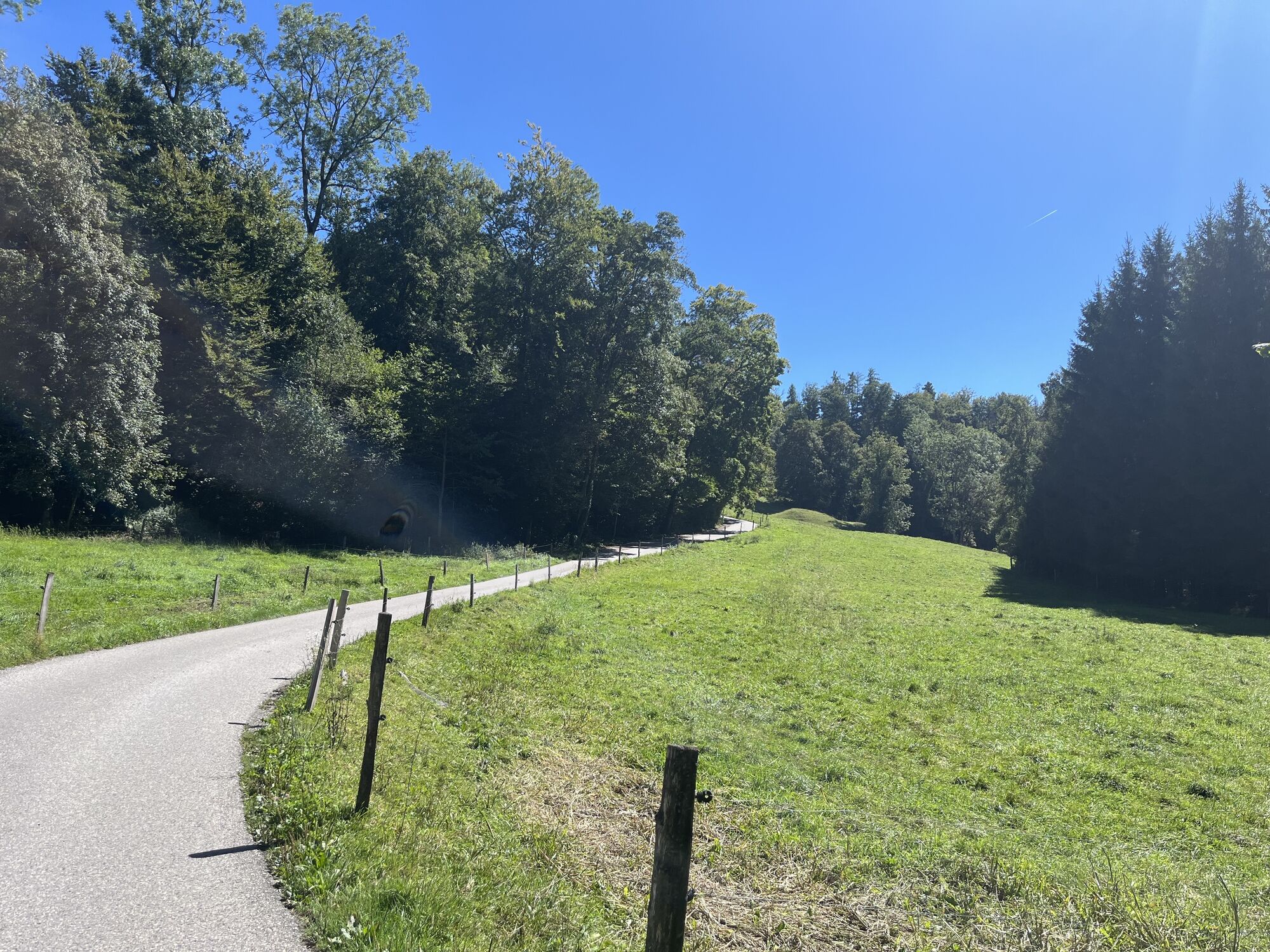
Cossonay-Penthalaz - Temple de Daillens - Auberge Communale La Balance - Église Catholique
heavy
Navigate
Navigate
Get this tour on your mobile
Cossonay-Penthalaz - Temple de Daillens - Auberge Communale La Balance - Église Catholique
heavy
Cycling
44.20
km
Scan the QR code and start navigation in the bergfex app

Hiking & Tracking


Distance
44.20
km
Duration
03:20
h
Ascent
580
m
Sea level
428 -
687
m
Track download
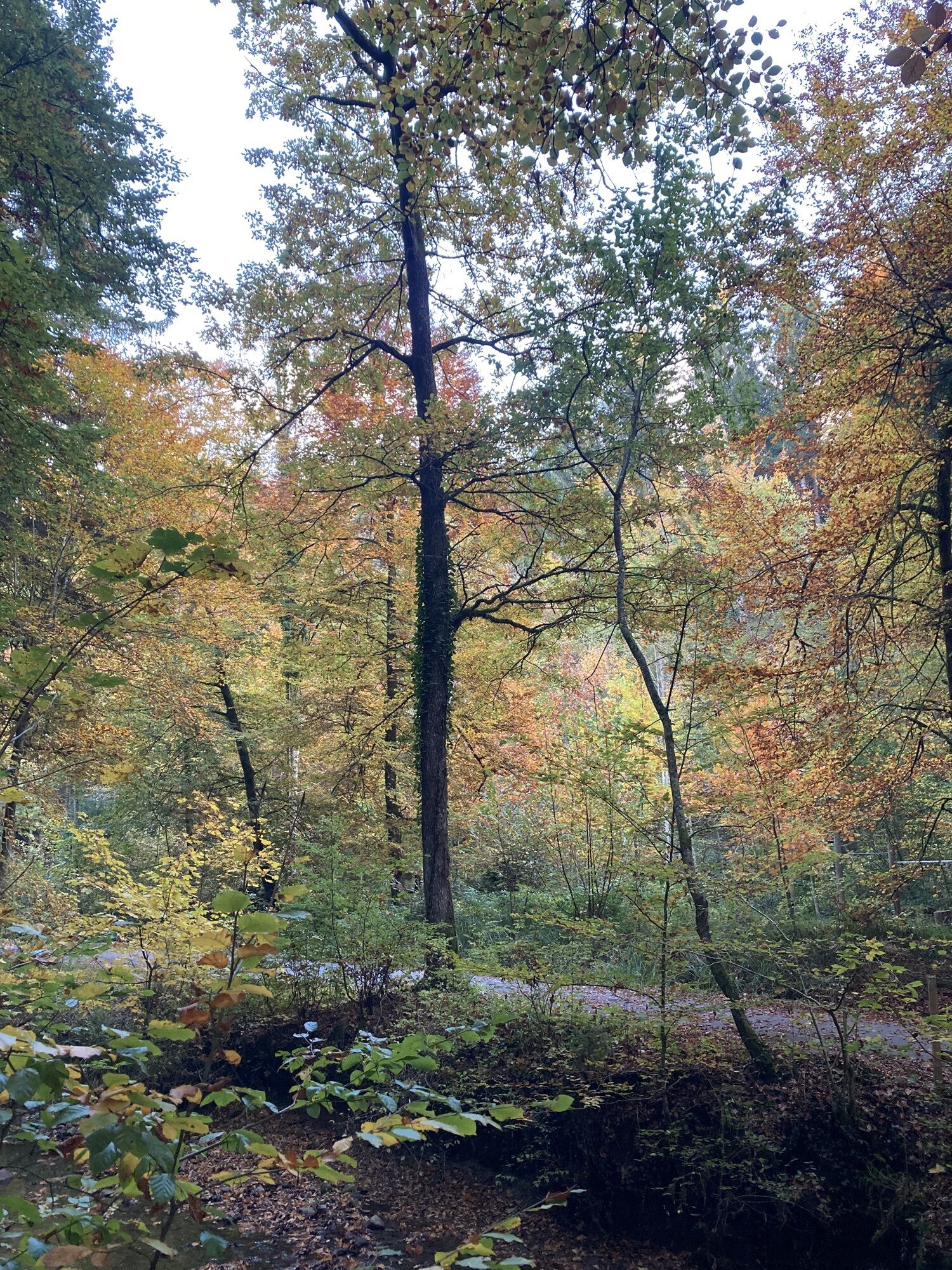
Cossonay-Penthalaz - Temple de Daillens - Auberge Communale La Balance - Église Catholique
heavy
Cycling
44.20
km


Route
Temple de Penthalaz
(496 m)
Place of worship
1.3 km
Temple de Daillens
(503 m)
Place of worship
3.2 km
Daillens
(503 m)
Village
3.3 km
Église Catholique
(626 m)
Place of worship
16.4 km
Église de Bioley-Orjulaz
(607 m)
Place of worship
28.9 km
Église d'Oulens-sous-Echallens
(589 m)
Place of worship
36.3 km
Temple de Daillens
(503 m)
Place of worship
40.9 km
Route
Cossonay-Penthalaz - Temple de Daillens - Auberge Communale La Balance - Église Catholique
heavy
Cycling
44.20
km
Cossonay-Penthalaz
(428 m)
Railway station
0.0 km
Cossonay-Penthalaz
(431 m)
Railway station
0.1 km
Penthalaz
(491 m)
Village
0.9 km
Temple de Penthalaz
(496 m)
Place of worship
1.3 km
Temple de Daillens
(503 m)
Place of worship
3.2 km
Auberge Communale La Balance
(501 m)
Restaurant
3.2 km
Daillens
(503 m)
Village
3.3 km
Oulens-sous-Echallens
(588 m)
Village
8.2 km
Eclagnens
(598 m)
Settlement
9.8 km
Goumoens-la-Ville
(619 m)
Village
11.1 km
Villars-le-Terroir
(644 m)
Village
13.7 km
Église Catholique
(626 m)
Place of worship
16.4 km
Echallens
(621 m)
Village
16.8 km
Malapalud
(663 m)
Village
20.7 km
Moulin d'Assens
(651 m)
Restaurant
21.9 km
Auberge d'Etagnières
(630 m)
Restaurant
25.8 km
Etagnières
(628 m)
Village
25.9 km
Little Persia
(624 m)
Restaurant
26.1 km
Bioley-Orjulaz
(603 m)
Village
28.9 km
Église de Bioley-Orjulaz
(607 m)
Place of worship
28.9 km
Saint-Barthélemy
(593 m)
Village
30.2 km
Goumoens-la-Ville
(619 m)
Village
33.3 km
Eclagnens
(598 m)
Settlement
34.8 km
Église d'Oulens-sous-Echallens
(589 m)
Place of worship
36.3 km
Oulens-sous-Echallens
(588 m)
Village
36.3 km
Daillens
(503 m)
Village
40.8 km
Temple de Daillens
(503 m)
Place of worship
40.9 km
Auberge Communale La Balance
(501 m)
Restaurant
40.9 km
Temple de Penthalaz
(496 m)
Place of worship
42.8 km
Penthalaz
(491 m)
Village
43.3 km
Cossonay-Penthalaz
(431 m)
Railway station
44.0 km
Cossonay-Penthalaz
(428 m)
Railway station
44.2 km
No reviews yet
Popular tours in the neighbourhood
-
Epalinges - Bois de la Chapelle - Gorges de la Chandelard - Vallon de la Paudèze - Port de Pully
lightHiking 10.5 km -
Chalet à gobet
lightMountainbike 19.6 km -
Nidau - Abbatiale de Romainmôtier - Ligne de partage des eaux Rhône/Rhin - Le Casino
mediumHiking 14.8 km -
Pompaples - Chapelle Origami - Envy - Abbatiale de Romainmôtier
Mountain hiking 7.08 km -
Les Clées - L'Ecusson vaudois - Abbatiale de Romainmôtier - Agiez
lightPilgrimage 12.8 km -
Croy-Romainmôtier - Croy - Envy - Abbatiale de Romainmôtier
mediumHiking 8.56 km -
Pompaples - Chapelle Origami - Envy - Abbatiale de Romainmôtier
mediumHiking 13.1 km -
Cheseaux - Le 7 ième - Temple de Romanel - Chapelle de Puidoux
heavyRacing 78.4 km -
Ben Ouais - Corcelles-le-Jorat - Abbaye de Montheron - Auberge de l'Abbaye de Montheron
mediumMountainbike 25.6 km -
Romainmôtier-Envy - Le Pectinarium - Abbatiale de Romainmôtier - Romainmôtier
lightHiking 5.23 km
Hiking & Tracking

Over 550.000 tour suggestions, detailed maps and an intuitive route planner make the app a must-have for all nature enthusiasts.

Don't miss out on offers and inspiration for your next holiday
Subscribe to the newsletter
Error
An error has occurred. Please try again.
Thank you for your registration
Your e-mail address has been added to the mailing list.
Tours throughout Europe
Austria
Switzerland
Germany
Italy
Slovenia
France
Netherlands
Belgium
Poland
Liechtenstein
Czechia
Slovakia
Spain
Croatia
Bosnia and Herzegovina
Luxembourg
Andorra
Portugal
Iceland
United Kingdom
Ireland
Greece
Albania
North Macedonia
Malta
Norway
Montenegro
Moldova
Kosovo
Hungary
San Marino
Romania
Estonia
Latvia
Belarus
Cyprus
Lithuania
Serbia
Bulgaria
Monaco
Denmark
Sweden
Finland