Valbruna - Malga Rauna - Planja-Sattel - Jôf di Miezegnot
heavy
Navigate
Navigate
Get this tour on your mobile
Valbruna - Malga Rauna - Planja-Sattel - Jôf di Miezegnot
heavy
Hiking
18.11
km
Scan the QR code and start navigation in the bergfex app

Hiking & Tracking


Distance
18.11
km
Duration
07:09
h
Ascent
1,717
m
Sea level
825 -
2,083
m
Track download
Valbruna - Malga Rauna - Planja-Sattel - Jôf di Miezegnot
heavy
Hiking
18.11
km


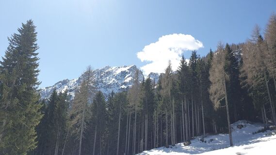
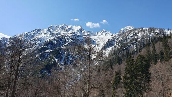
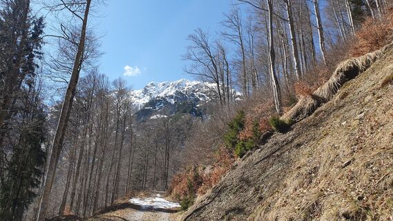
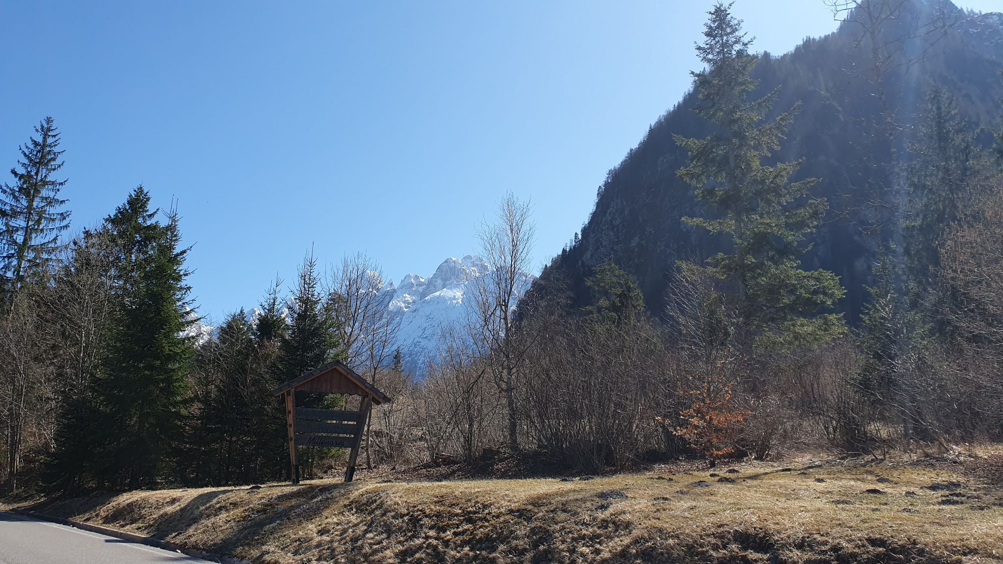
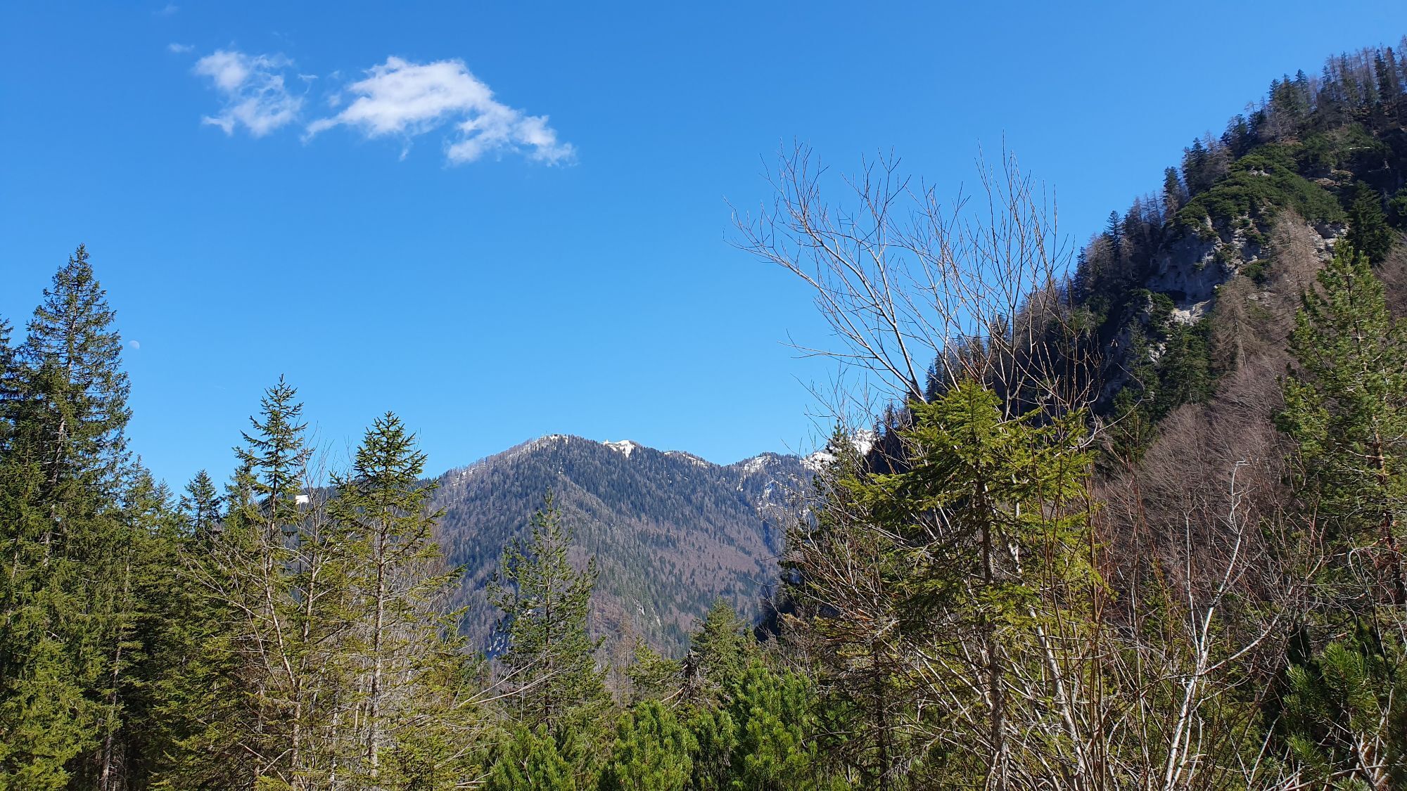
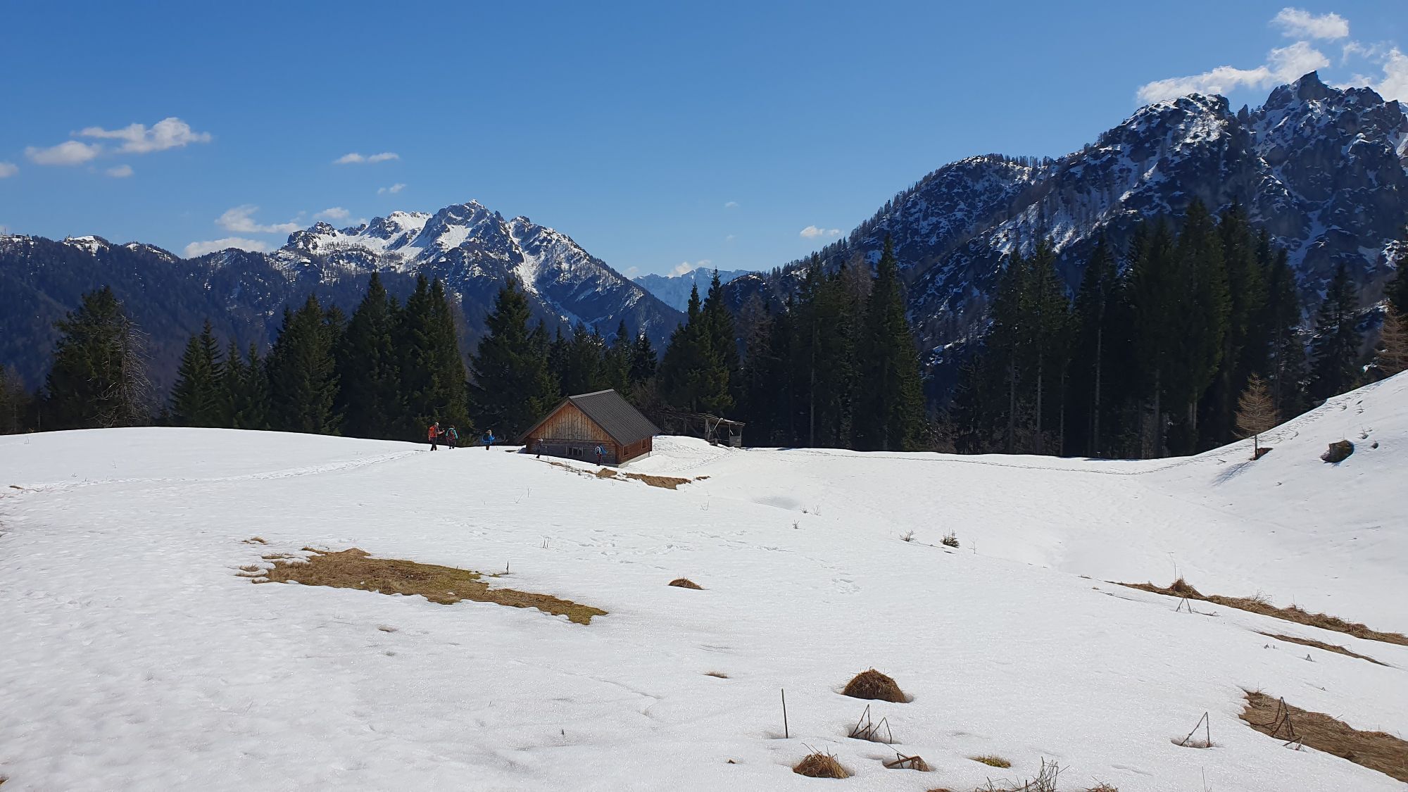
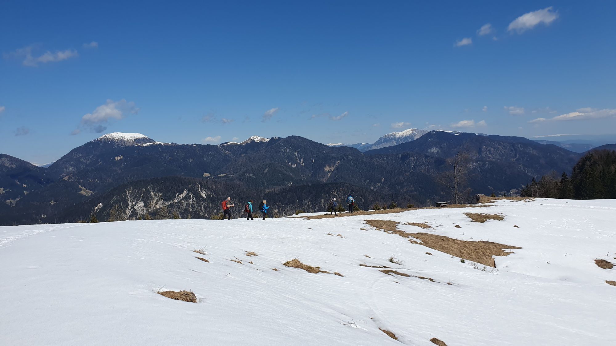
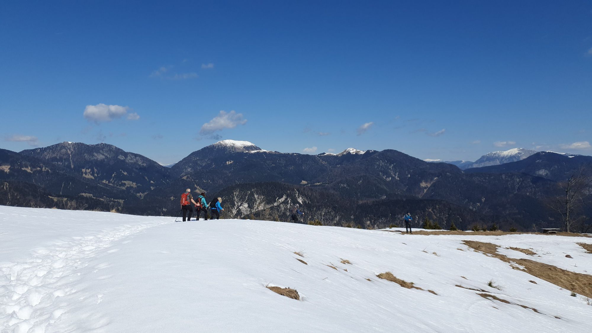
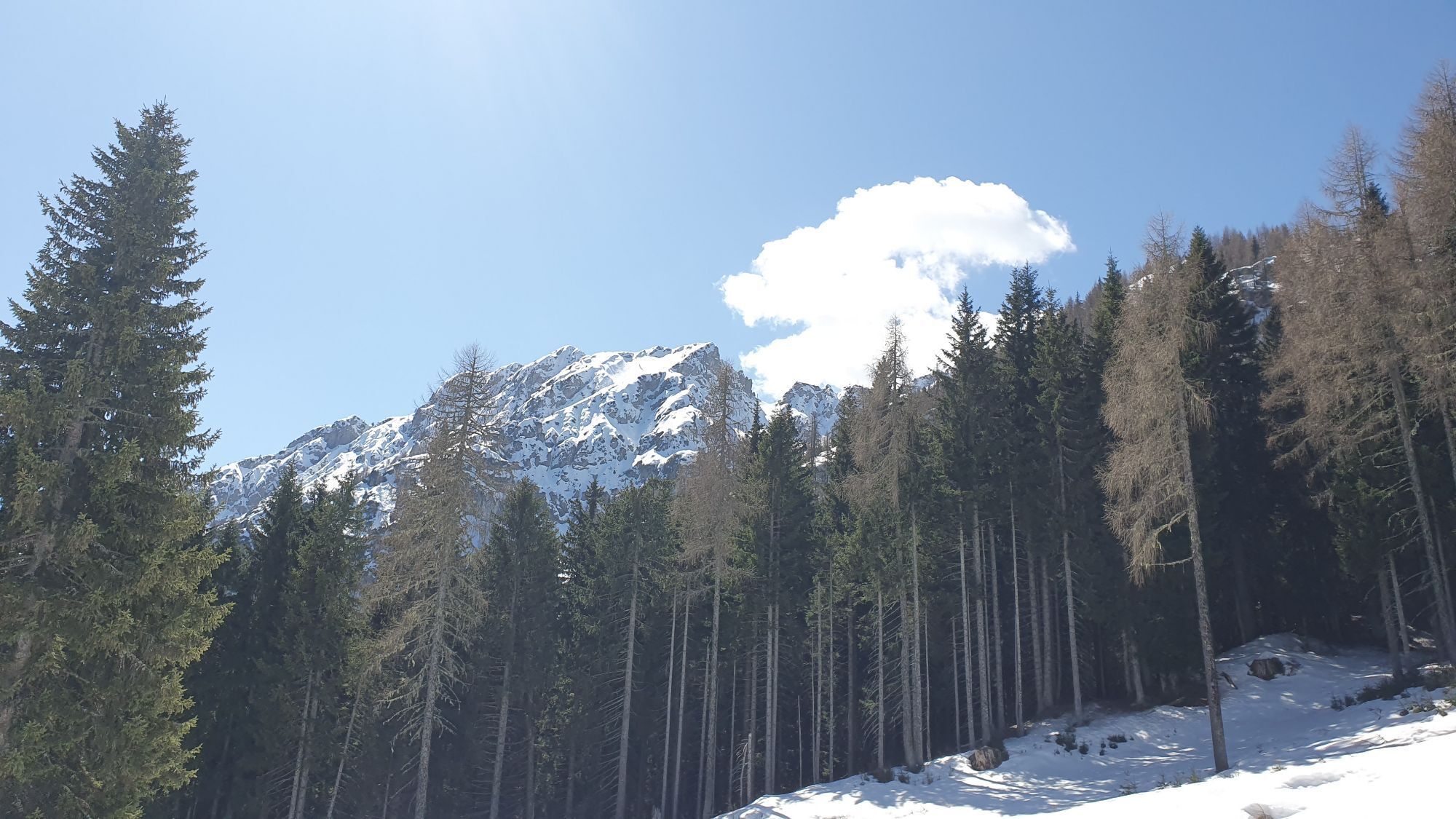
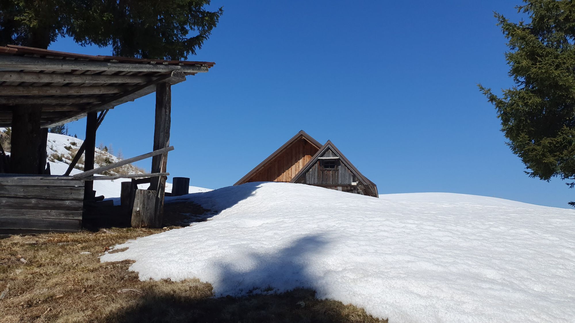
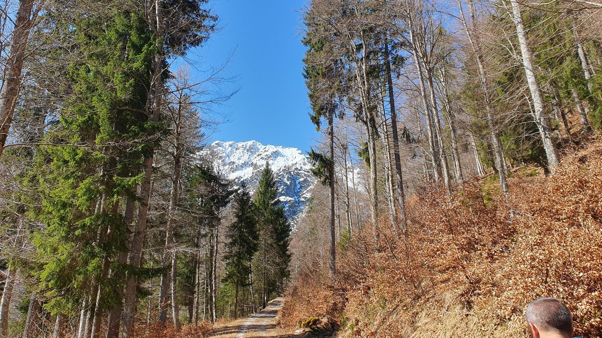
Photos from our users
-
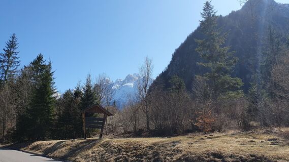
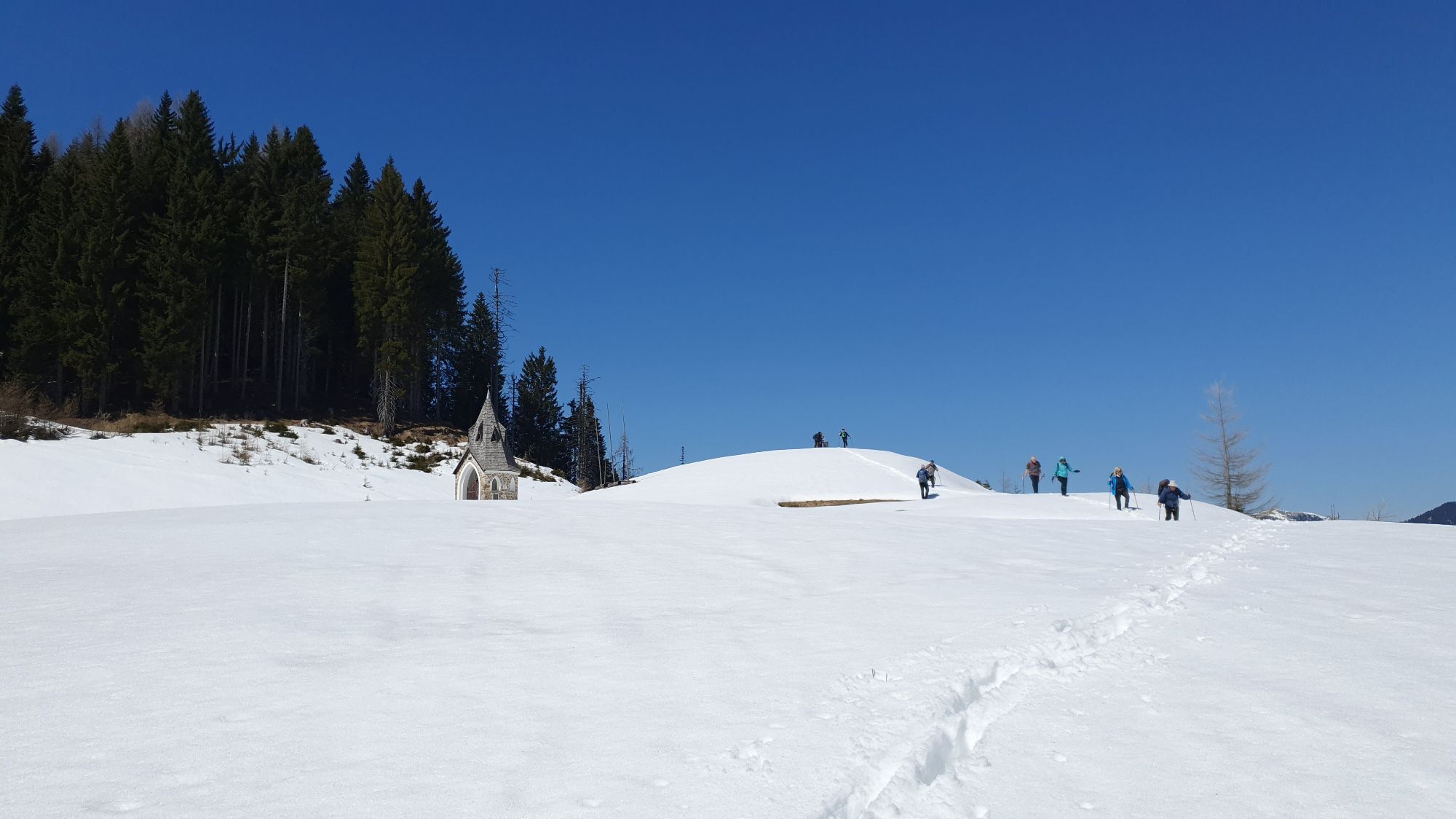
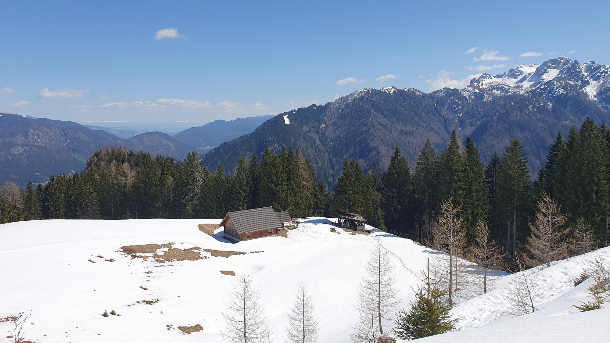
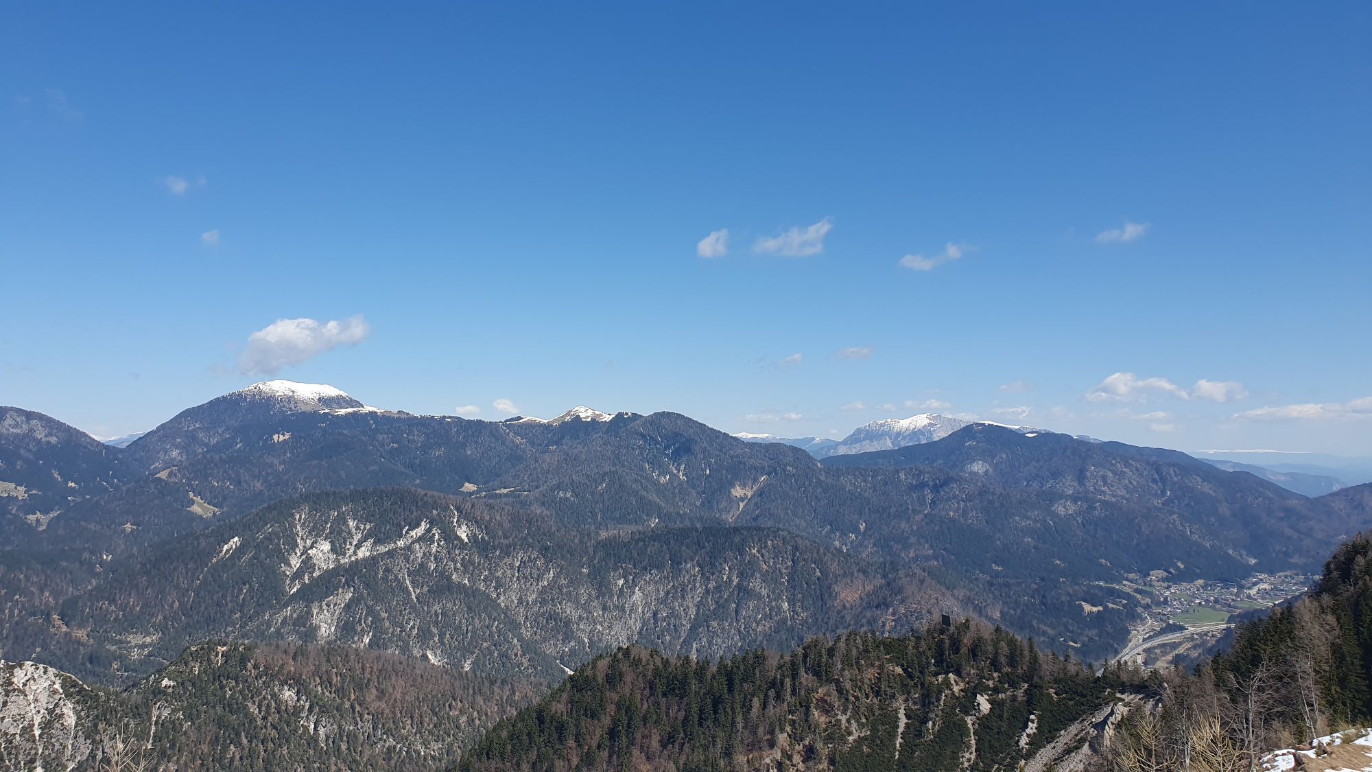
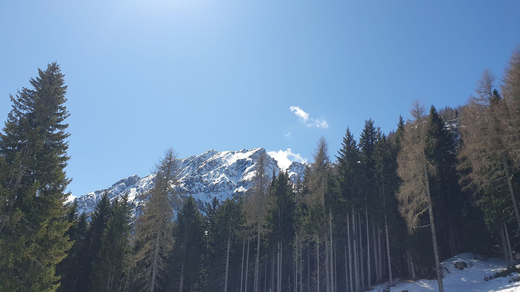
 © Fabrizio PlesnizerCreated on 06.04.2025
 -
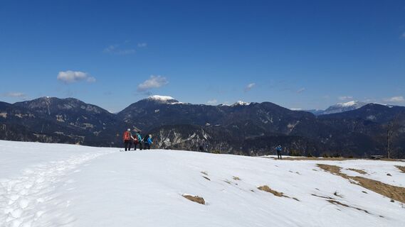
 © Fabrizio PlesnizerCreated on 06.04.2025
 -
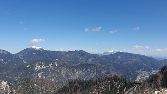
 © Fabrizio PlesnizerCreated on 06.04.2025
 -
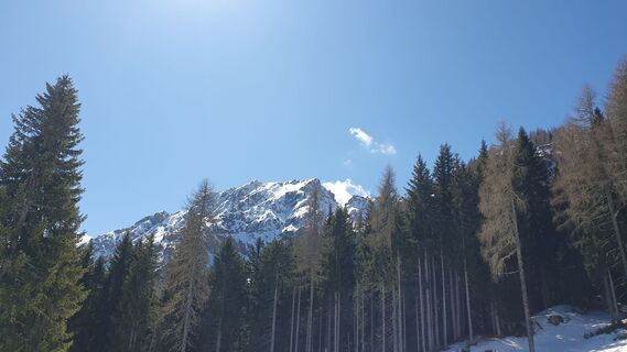
 © Fabrizio PlesnizerCreated on 06.04.2025
 -
 © Fabrizio PlesnizerCreated on 06.04.2025
 -
 © Fabrizio PlesnizerCreated on 06.04.2025
 -
 © Fabrizio PlesnizerCreated on 06.04.2025
 -
 © Fabrizio PlesnizerCreated on 06.04.2025
 -
 © Fabrizio PlesnizerCreated on 06.04.2025
 -
 © Fabrizio PlesnizerCreated on 06.04.2025
 -
 © Fabrizio PlesnizerCreated on 06.04.2025
 -
 © Fabrizio PlesnizerCreated on 06.04.2025
 -
 © Fabrizio PlesnizerCreated on 06.04.2025
 -
 © Fabrizio PlesnizerCreated on 06.04.2025


Route
Valbruna/Ovčja vas
(807 m)
Village
0.0 km
Malga Rauna
(1,489 m)
Refuge (unmanaged)
5.8 km
Planja-Sattel
(1,902 m)
Mountain saddle
8.3 km
Costone Peceit
(1,966 m)
Corridor/terrain
8.6 km
Jôf di Miezegnot
(2,087 m)
Summit
9.1 km
Malga Rauna
(1,489 m)
Corridor/terrain
12.1 km
Valbruna/Ovčja vas
(807 m)
Village
18.1 km
Route
Valbruna - Malga Rauna - Planja-Sattel - Jôf di Miezegnot
heavy
Hiking
18.11
km
Valbruna/Ovčja vas
(807 m)
Village
0.0 km
Malga Rauna
(1,489 m)
Refuge (unmanaged)
5.8 km
Planja-Sattel
(1,902 m)
Mountain saddle
8.3 km
Costone Peceit
(1,966 m)
Corridor/terrain
8.6 km
Jôf di Miezegnot
(2,087 m)
Summit
9.1 km
Malga Rauna
(1,489 m)
Corridor/terrain
12.1 km
Valbruna/Ovčja vas
(807 m)
Village
18.1 km
Last tracked
one day ago
Valuations
1 Comment
Gianfranco zupancich
06. Jul. 2025
Bello, ripido nella parte finale
Webcams of the tour
Popular tours in the neighbourhood
-
4.9
Orrido dello Slizza, Tarvisio, Italië
lightHiking 2.65 km -
4.9
Monte Lussari über den alten Pilgerweg
mediumHiking 6.43 km -
4.2
Monte Lussari über den Büßerweg
mediumHiking 5.66 km -
4.6
Monte Lussari
lightSki tour 5.35 km -
3.9
Monte Santo di Lussari, Skitour, Pilgerweg
mediumSki tour 9.35 km -
4.7
Stage 1 - FVG1 Tarvisio - Venzone (C101)
mediumLong distance cycling 64.7 km -
4.5
Terra Rossa
lightHiking 9.29 km -
4.8
Cima di Terrarossa al Montasio, in the realm of ibexes
mediumHiking 9.50 km -
4.8
Drauradweg Seitensprung: Dolve Vita Tour
heavyCycling 97.2 km -
3.0
Mangart slov. Klettersteig (B) "gesperrt??"
Via ferrata 4.64 km
Hiking & Tracking

Over 550.000 tour suggestions, detailed maps and an intuitive route planner make the app a must-have for all nature enthusiasts.

Don't miss out on offers and inspiration for your next holiday
Subscribe to the newsletter
Error
An error has occurred. Please try again.
Thank you for your registration
Your e-mail address has been added to the mailing list.
Tours throughout Europe
Austria
Switzerland
Germany
Italy
Slovenia
France
Netherlands
Belgium
Poland
Liechtenstein
Czechia
Slovakia
Spain
Croatia
Bosnia and Herzegovina
Luxembourg
Andorra
Portugal
Iceland
United Kingdom
Ireland
Greece
Albania
North Macedonia
Malta
Norway
Montenegro
Moldova
Kosovo
Hungary
San Marino
Romania
Estonia
Latvia
Belarus
Cyprus
Lithuania
Serbia
Bulgaria
Monaco
Denmark
Sweden
Finland