


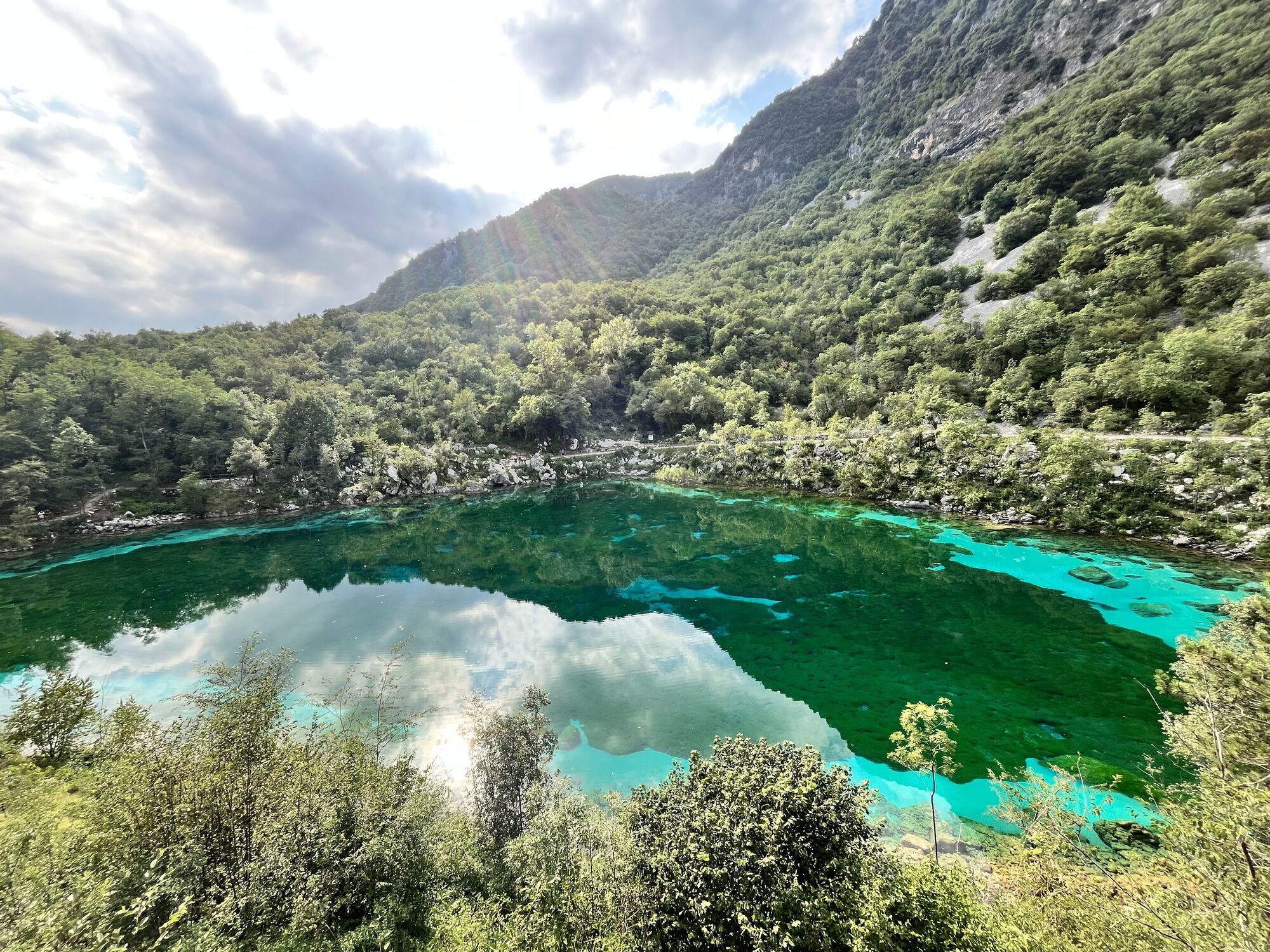
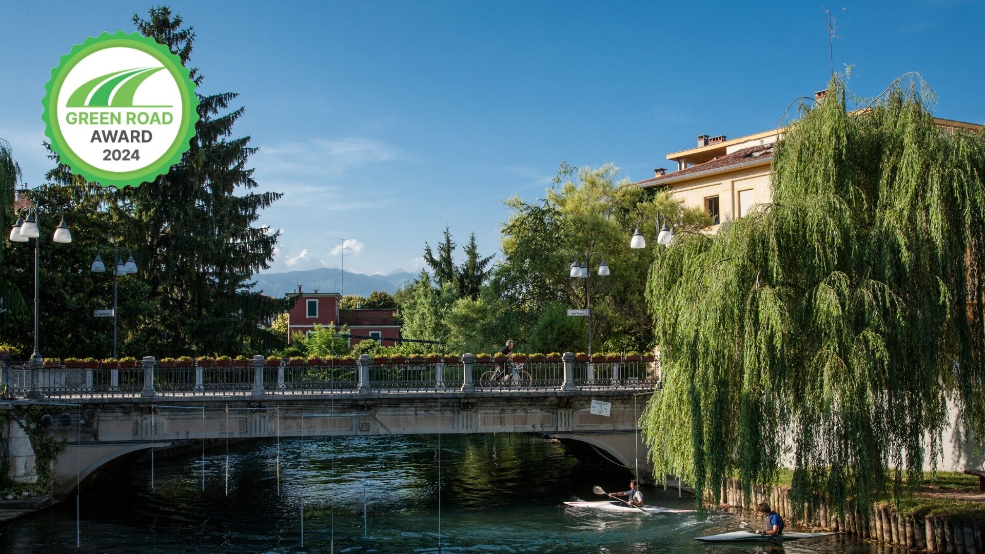
The Pedemontana FVG3 cycle route crosses the region following the imaginary line delimiting the regional Alpine arc and covers a total distance of about 180 km. The cycle route starts in Sacile, crossed...
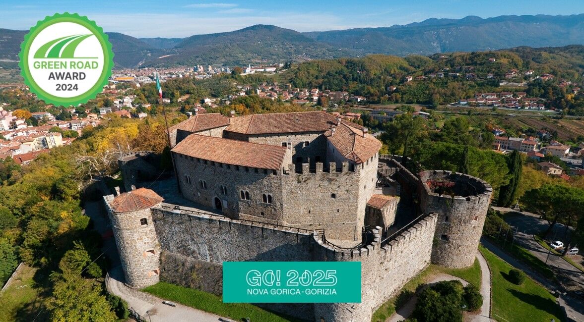
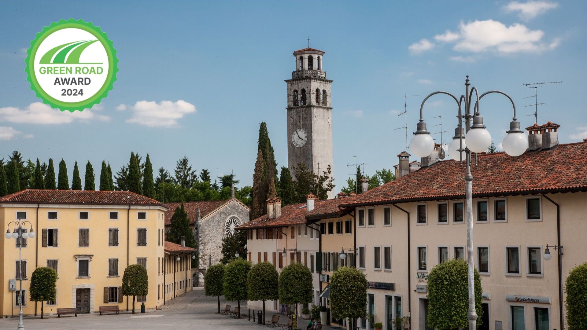
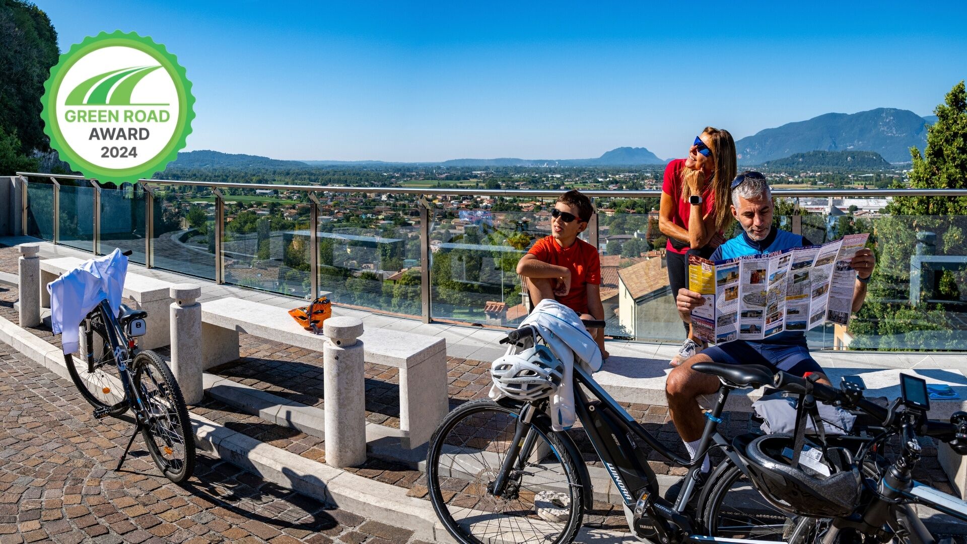
The Pedemontana FVG3 cycle route crosses the region following the imaginary line delimiting the regional Alpine arc and covers a total distance of about 180 km. The cycle route starts in Sacile, crossed by the Livenza river, and ends in Gorizia-Nova Gorica (Slovenia) . Along the route we cross the villages of Maniago, known worldwide for its cutlery production, Gemona del Friuli medieval village contaminated by Street Art and contemporary architecture and Cividale del Friuli UNESCO site for Longobard art. In this area, the renowned wines of the Grave, Colli Orientali del Friuli, Isonzo and Collio DOC zones are produced and can be tasted in the numerous wine cellars. Along the cycle route you can use other cycle paths, described in other cards, to get to know the villages of Polcenigo, Poffabbro, Venzone and Gradisca d'Isonzo (Most Beautiful Villages in Italy).

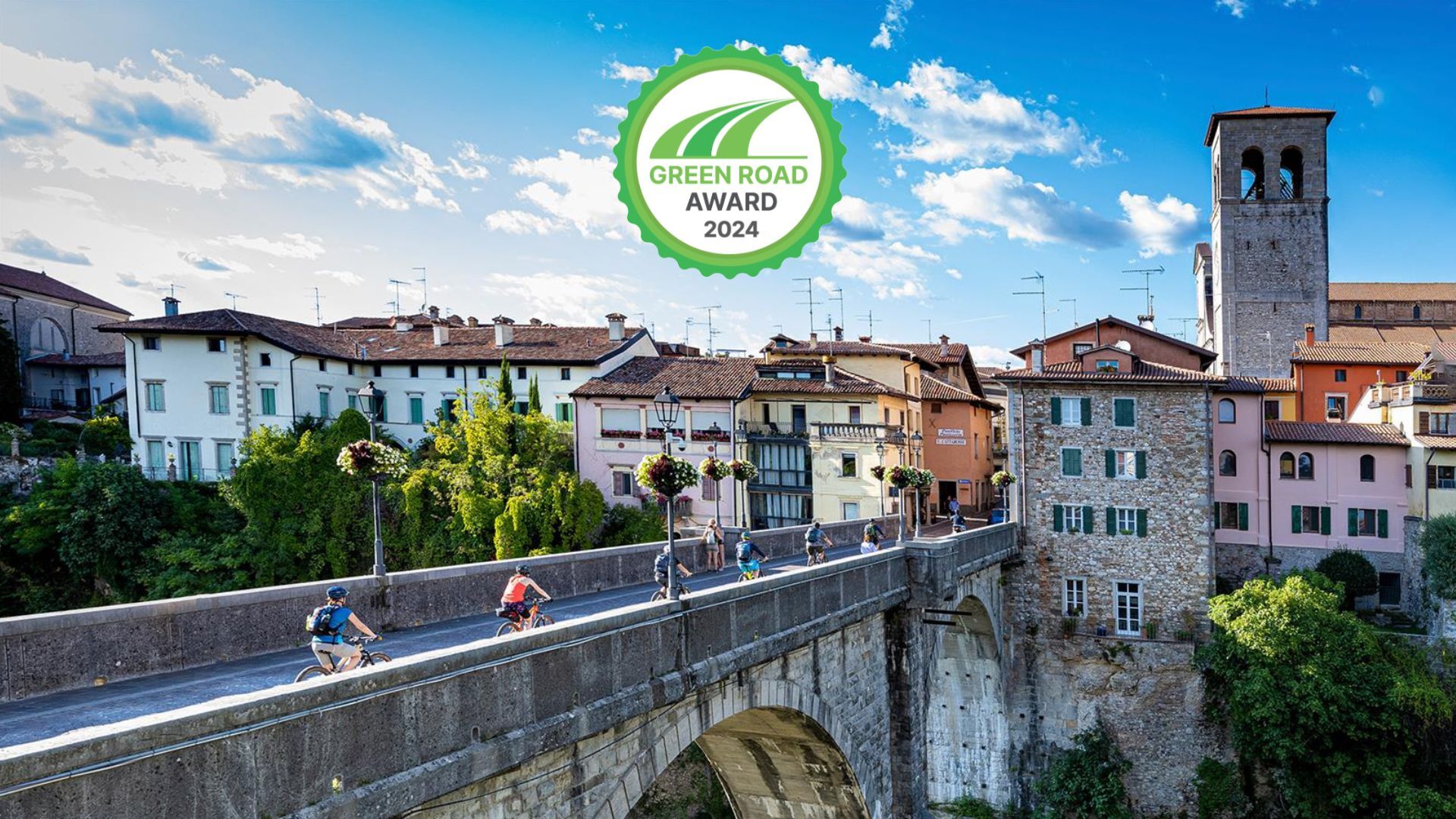
From Sacile, Maniago, Gemona del Friuli, Cividale del Friuli, Cormons and Gorizia-Nova Gorica (Slovenia) or vice versa. Along the way you can decide to change your itinerary using other cycle paths or variants.
In Gemona del Friuli:
FVG1 to reach Udine, Palmanova and Grado in a southerly direction or Venzone, Pontebba and Tarvisio in a northerly direction. FVG6 to reach Lignano Sabbiadoro via Spilimbergo, San Vito al Tagliamento in a southerly direction. FVG 6/a to reach Lignano Sabbiadoro but passing through San Daniele del Friuli and Codroipo.
In Cividale del Friuli:
FVG 3/e to cross the Natisone Valleys (P006). FVG 3/d Variation of the vineyards in a southerly direction as far as Cormons via Dolegna del Collio and Corno di Rosazzo and north as far as Tarcento via Attimis and Nimis (C305).
Yes
Some routes are suitable for families with children.
For Sacile: take the A4 highway, continue A27 towards Belluno and at Conegliano A28 Portogruaro-Conegliano
For Gorizia: take the A4 and A34 Villesse-Gorizia highways
Intermodal transportation with bicycle in tow:
The piedmont bikeway is served by intermodal transportation, both train and bus.
Regional trains (Trenitalia) can transport bicycles along the Gorizia to Sacile route (Trieste - Udine - Venice line) and from Sacile to Maniago.
The MICOTRA train is a special international, intermodal convoy between Udine and Villach (A) with a stop in Gemona del Friuli and can carry more than 70 bicycles in special cars. It makes two daily round trips and in summer extends its run to Trieste.
In summer there is a BiciBus service, buses with a bicycle cart in tow:
- from Cormons to Grado with stops in Gorizia, Gradisca d'Isonzo, Redipuglia and Monfalcone
- from Maniago to Gemona del Friuli with stops in Meduno, Travesio, Pinzano al Tagliamento, Osoppo and San Daniele del Friuli
In Sacile, Maniago, Gemona del Friuli, Tarcento, Cividale del Friuli, Cormons, and Gorizia near the train station.
Trail type: trail with slight inclines and few cycling difficulties. Mostly on bike path or paved secondary roads with no traffic; some sections on good dirt roads.
Gemona is the crossing point of 3 cycle routes. Do you want to change route? In DIRECTIONS TO FOLLOW you will find the information.
Popular tours in the neighbourhood
Parenzana Extended
mediumMountainbike422,0 km- 5,0
Stage 2 - FVG1 Venzone - Udine (C102)
mediumLong distance cycling56,7 km Monte di Ragogna by Wilson Holz
lightHiking12,3 kmRing of Ragogna mountain
mediumHiking11,9 kmSan Rocco - Forgaria nel Friuli - Ragogna - San Daniele del Friuli - Susans - Cornino - San Rocco
lightE-MTB38,1 kmRing of Monte Prat from Cornino
mediumHiking15,2 kmFVG6 Tagliamento river cycle route (C600)
mediumLong distance cycling136,9 kmUdine - San Daniele route (P015)
mediumLong distance cycling29,5 kmCircular route of San Daniele del Friuli (R007)
mediumLong distance cycling31,4 kmRing of medieval castles (R036)
mediumLong distance cycling61,5 km
Hiking & Tracking


Don't miss out on offers and inspiration for your next holiday
Your e-mail address has been added to the mailing list.