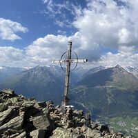
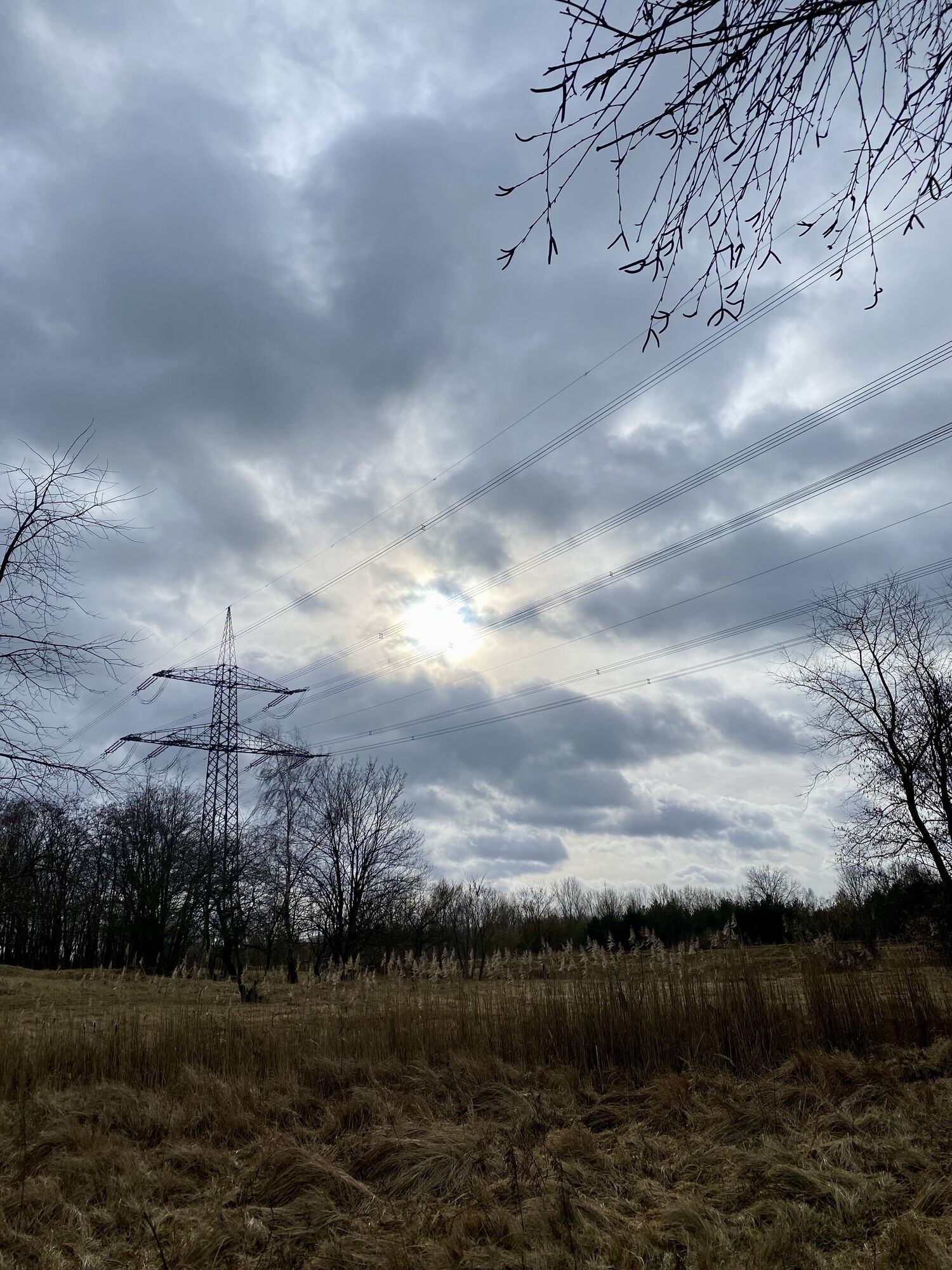
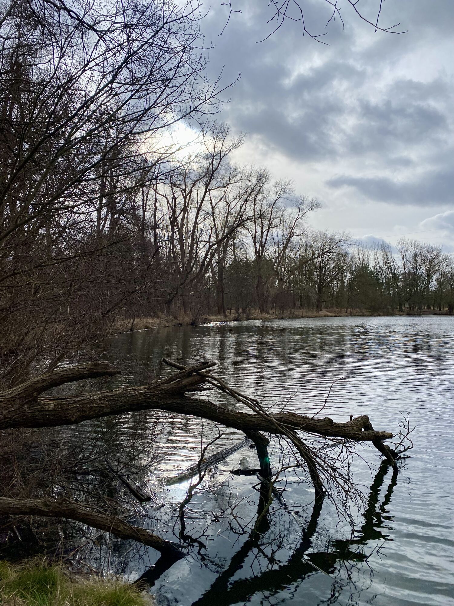
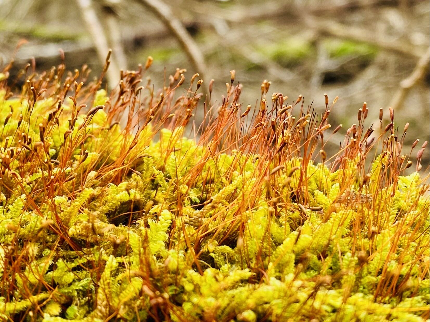
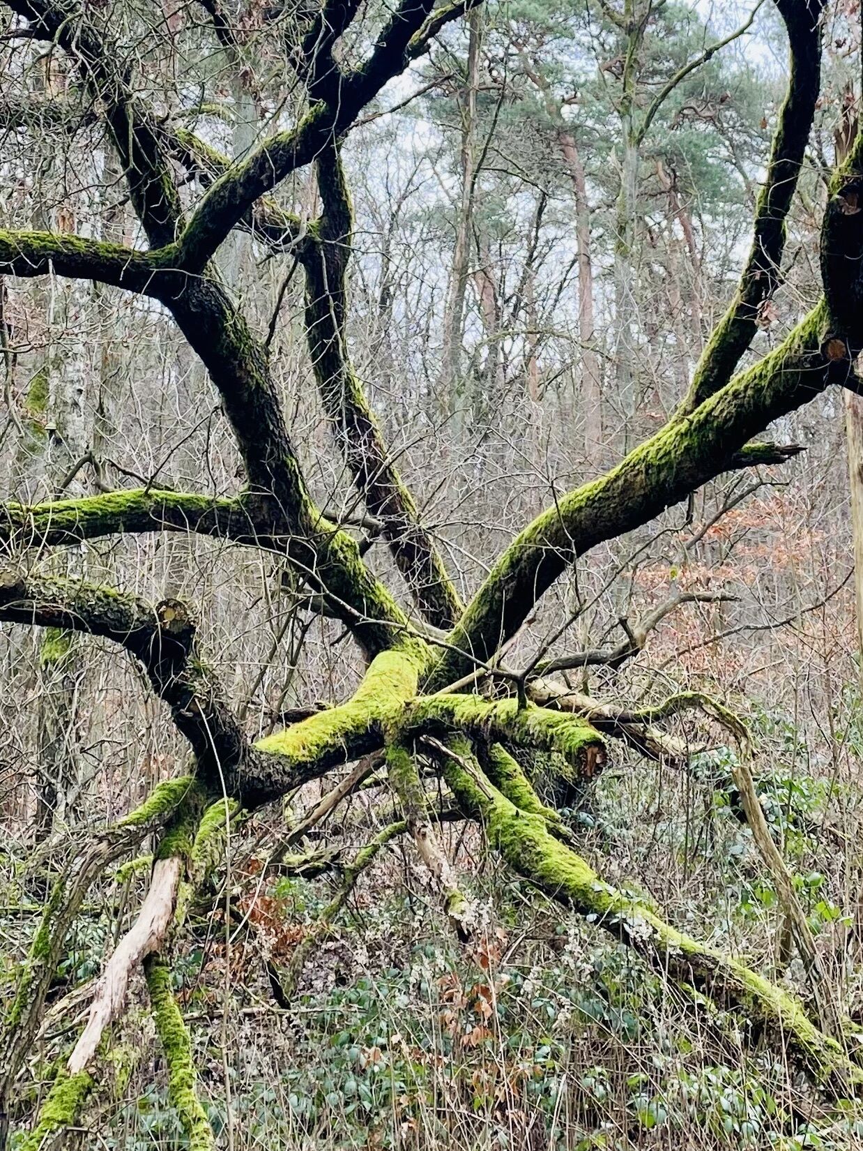
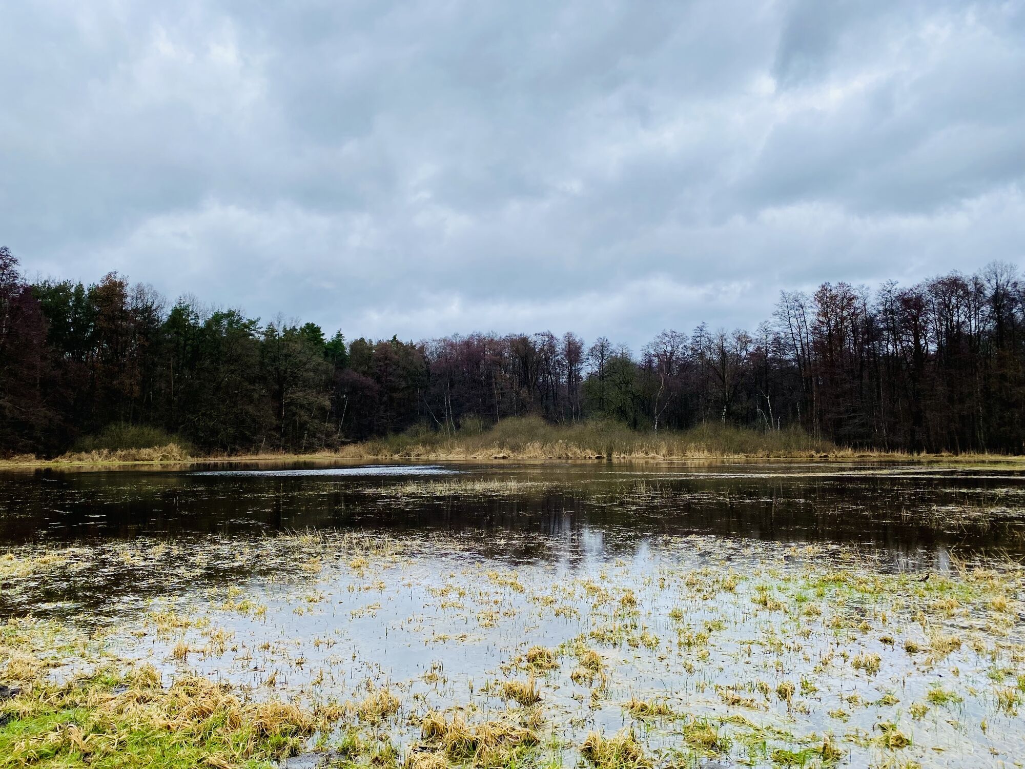
An der Bogenseekette
light
Navigate
Navigate
Get this tour on your mobile
An der Bogenseekette
light
Hiking
5.69
km
Scan the QR code and start navigation in the bergfex app

Hiking & Tracking


Distance
5.69
km
Duration
01:19
h
Ascent
15
m
Sea level
49 -
58
m
Track download
An der Bogenseekette
light
Hiking
5.69
km


Route


Arrival information
Arrival
Auto
Public transport
S Bahn bis Buch
No reviews yet
Popular tours in the neighbourhood
-
"Bergwanderung" rund um den höchsten Berg von Berlin-Reinickendorf
lightMountain hiking 15.3 km -
Sightseeing by bike through Berlin
mediumCycling 58.4 km -
Precioso
mediumMountainbike 16.8 km -
Tegeler Forst
lightHiking 3.67 km -
Mitte - Nikolaikirche - Quaker Meeting - Raum der Stille
lightCycling 11.3 km -
Sightseeingtour Berlin
lightHiking 10.5 km -
Jagd durch den Hobrechtswald
lightThematic route 4.47 km -
Panketal - Berlin - St. Elisabeth - Südkreuz (Ringbahn)
mediumCycling 29.2 km -
5.0
Wandlitzsee - Waldbad Liepnitzsee
mediumHiking 9.28 km -
Ahrensfelde - Die Sattmacher - Evangelische Freikirche Leuchtturm
mediumMountainbike 19.5 km

Hiking & Tracking

Over 550.000 tour suggestions, detailed maps and an intuitive route planner make the app a must-have for all nature enthusiasts.

Don't miss out on offers and inspiration for your next holiday
Subscribe to the newsletter
Error
An error has occurred. Please try again.
Thank you for your registration
Your e-mail address has been added to the mailing list.
Tours throughout Europe
Austria
Switzerland
Germany
Italy
Slovenia
France
Netherlands
Belgium
Poland
Liechtenstein
Czechia
Slovakia
Spain
Croatia
Bosnia and Herzegovina
Luxembourg
Andorra
Portugal
Iceland
United Kingdom
Ireland
Greece
Albania
North Macedonia
Malta
Norway
Montenegro
Moldova
Kosovo
Hungary
San Marino
Romania
Estonia
Latvia
Belarus
Cyprus
Lithuania
Serbia
Bulgaria
Monaco
Denmark
Sweden
Finland