


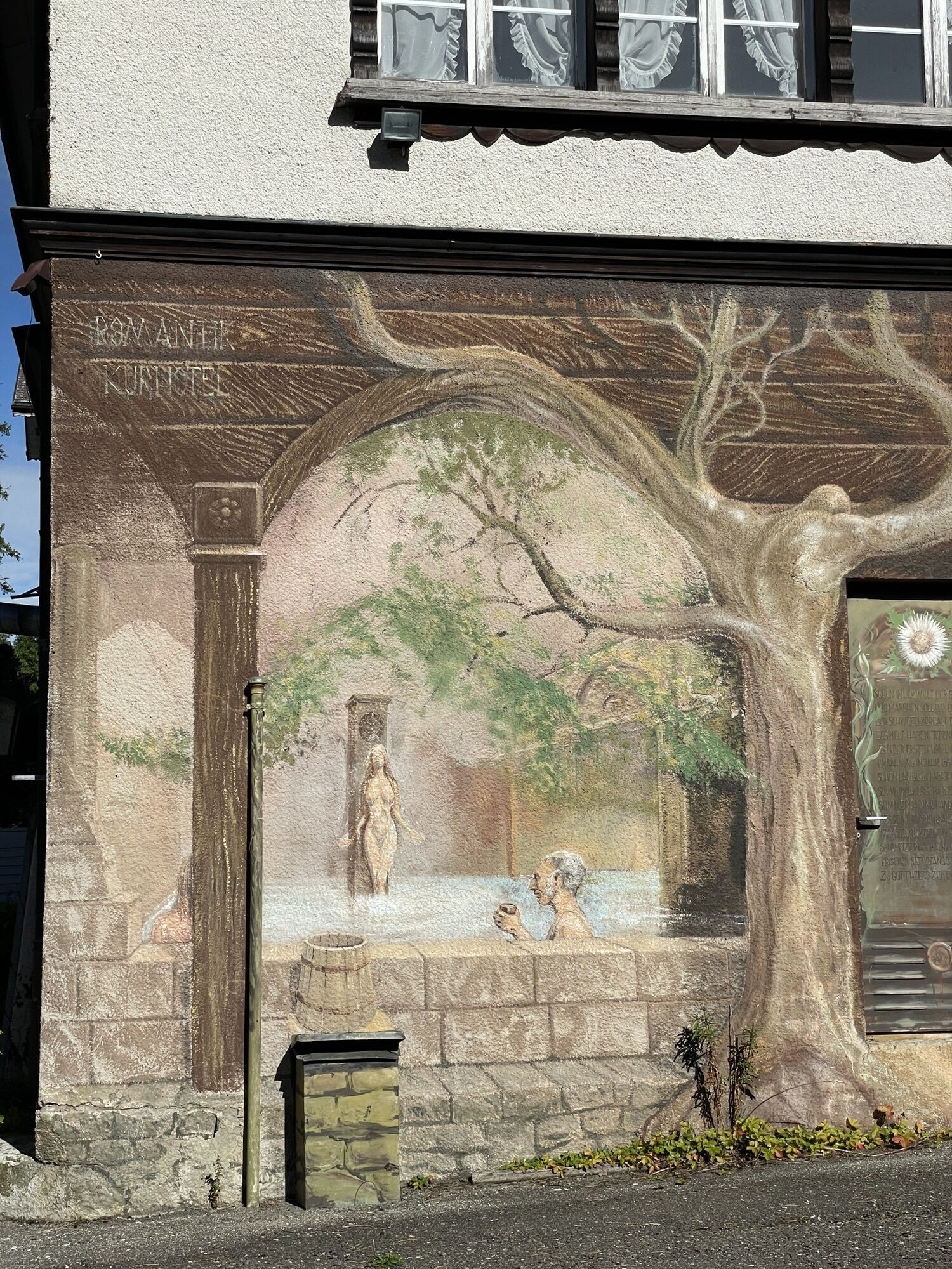
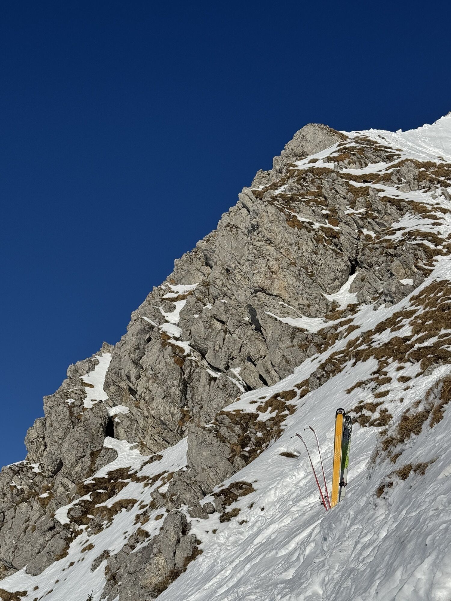
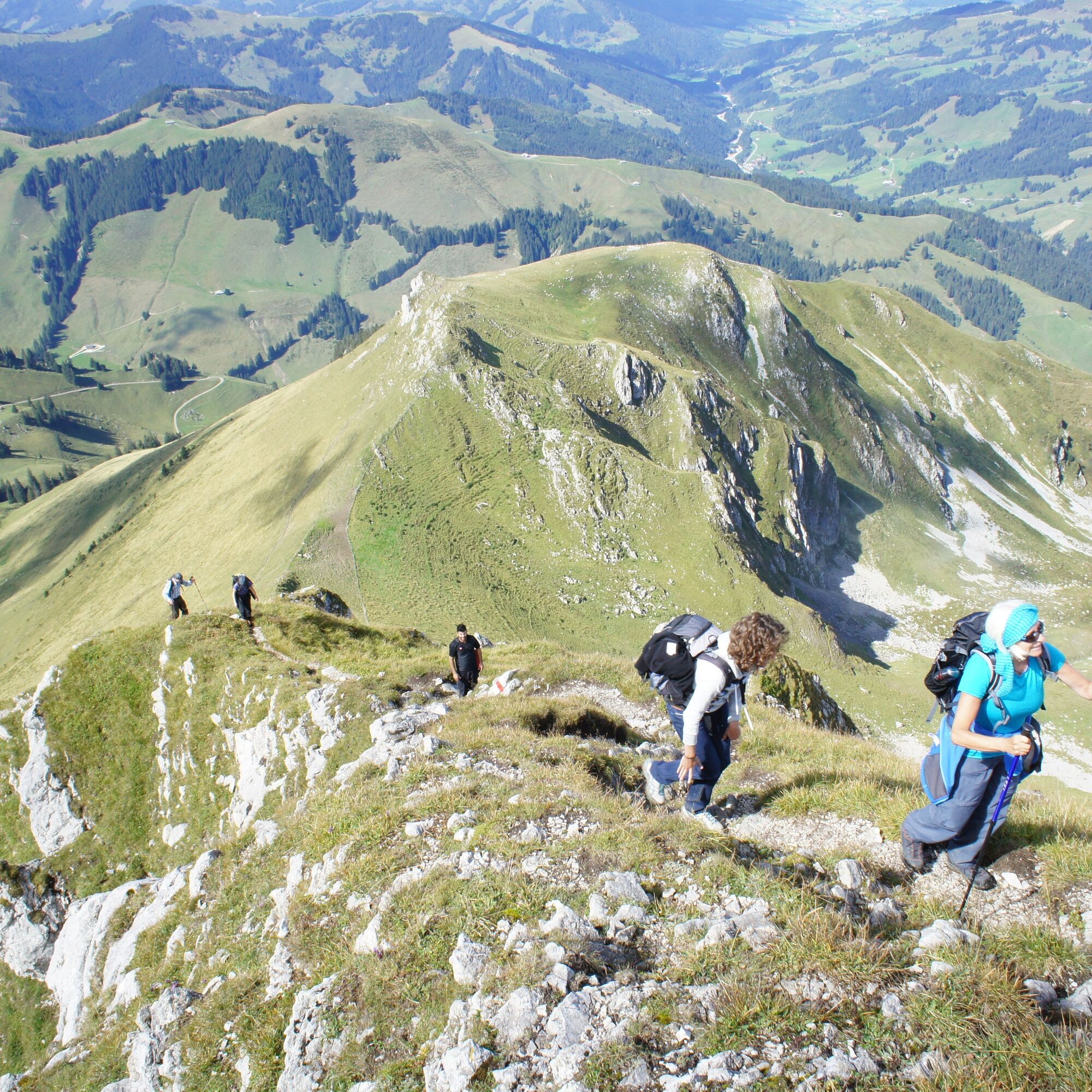
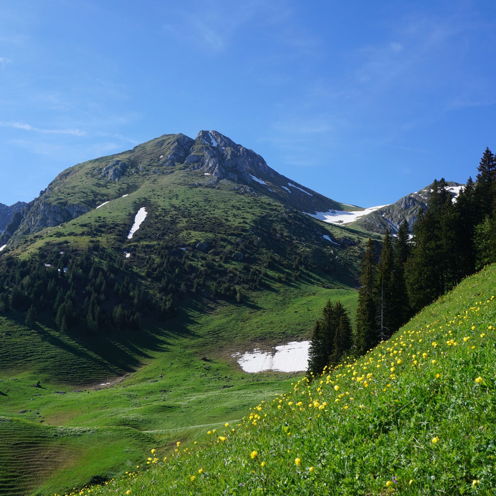
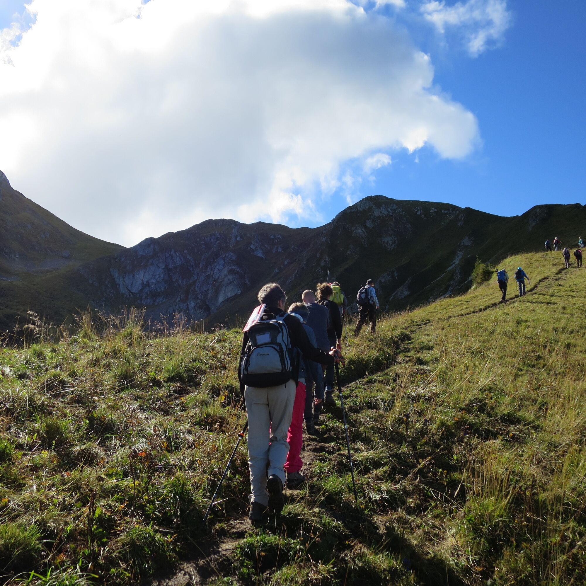
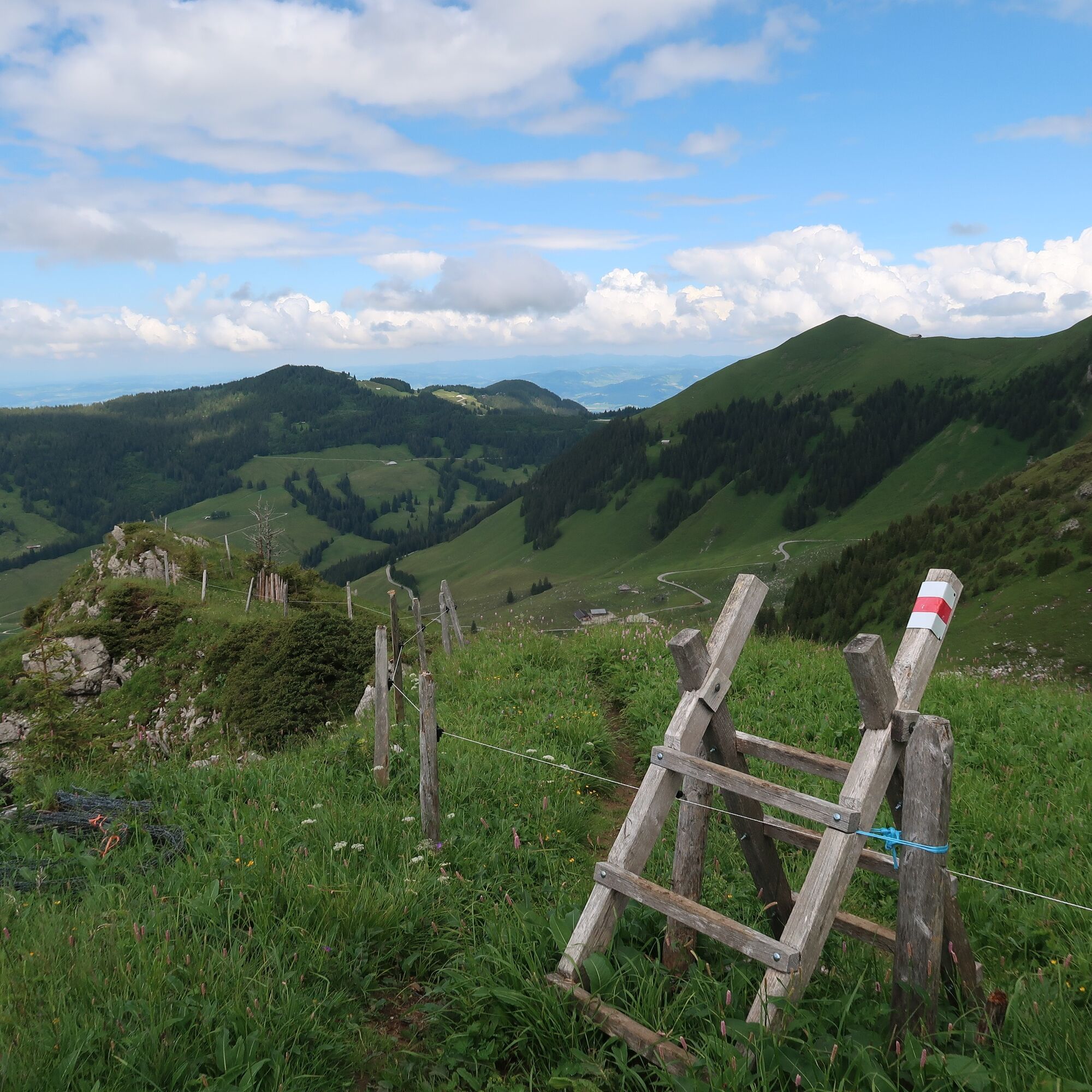
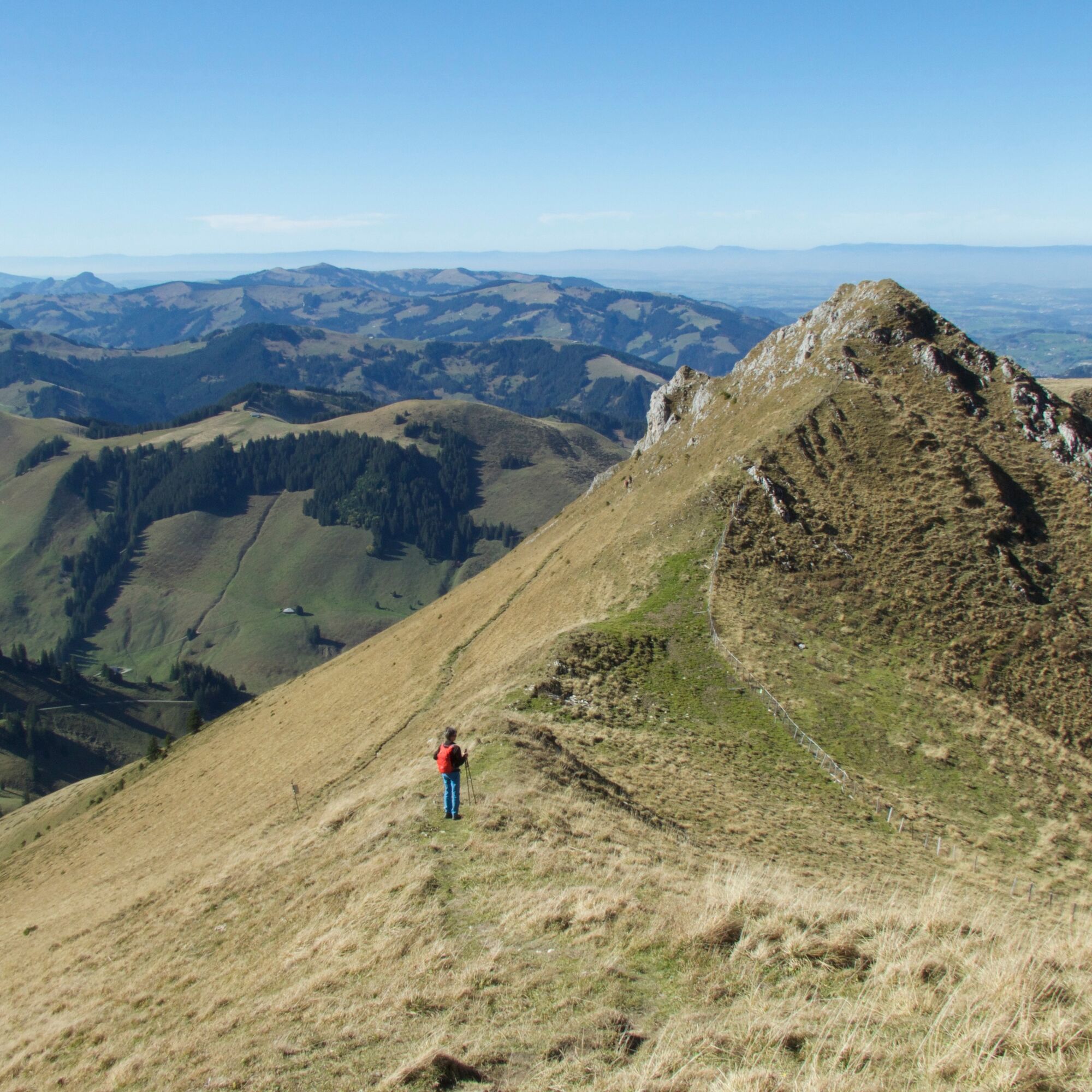
Pass the disused sulphur spring and climb up to the Lauigrat, which you follow to the saddle after the Huerlisboden. The mountain trail crosses the south-western flank towards Alpiglegalm. Now the view...
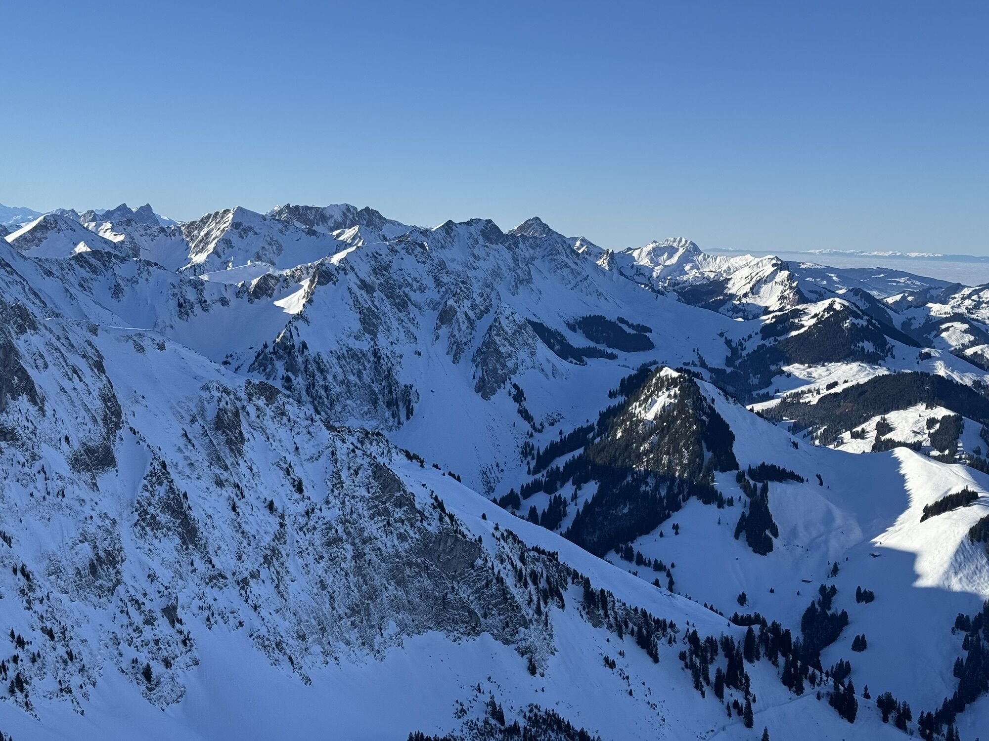
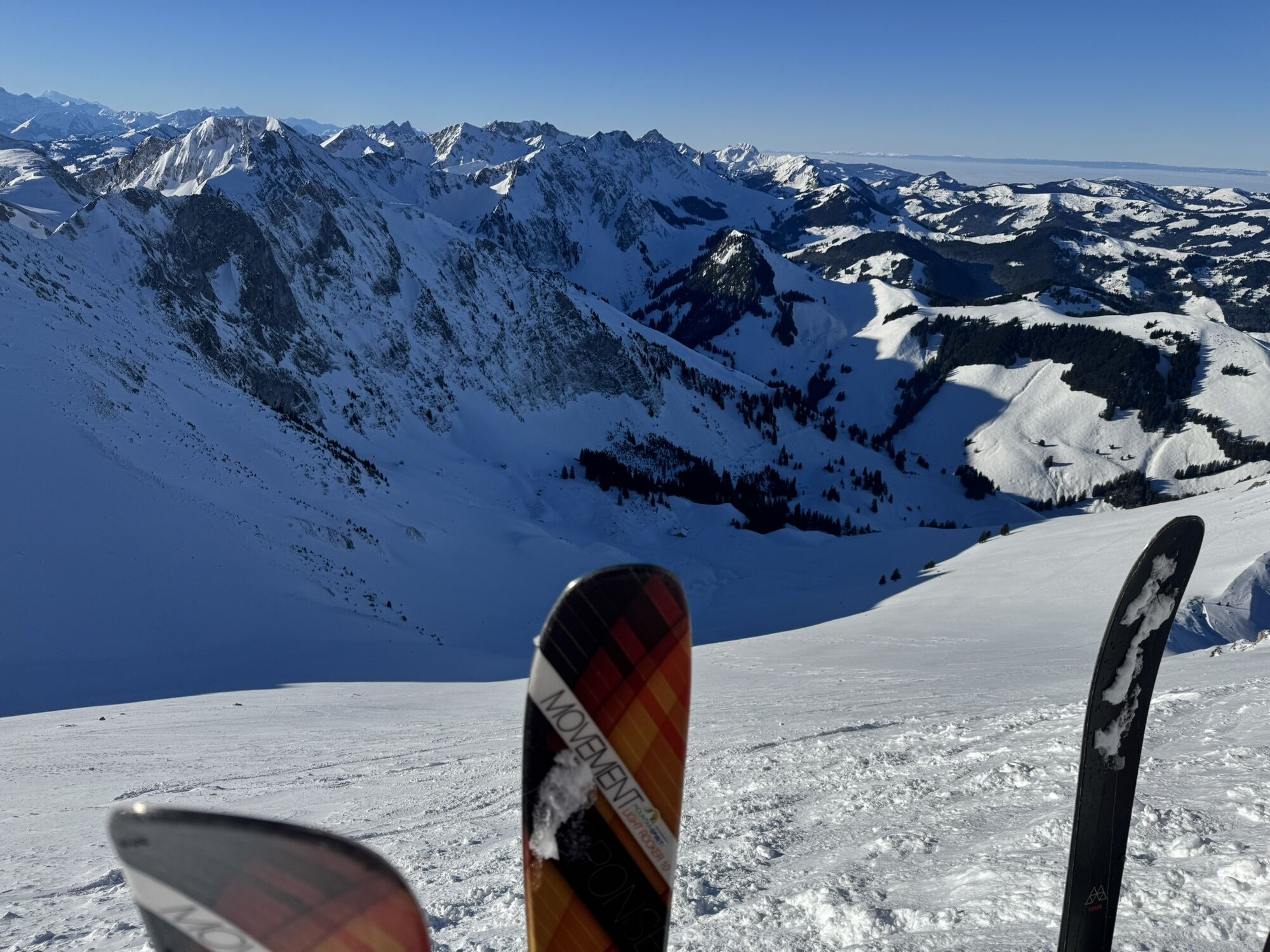
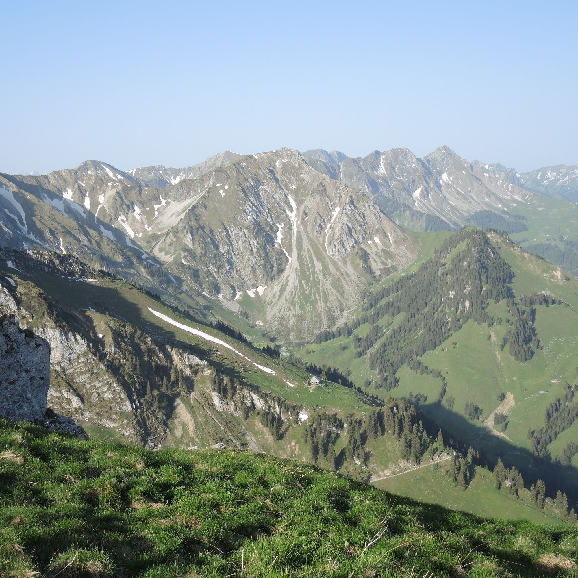
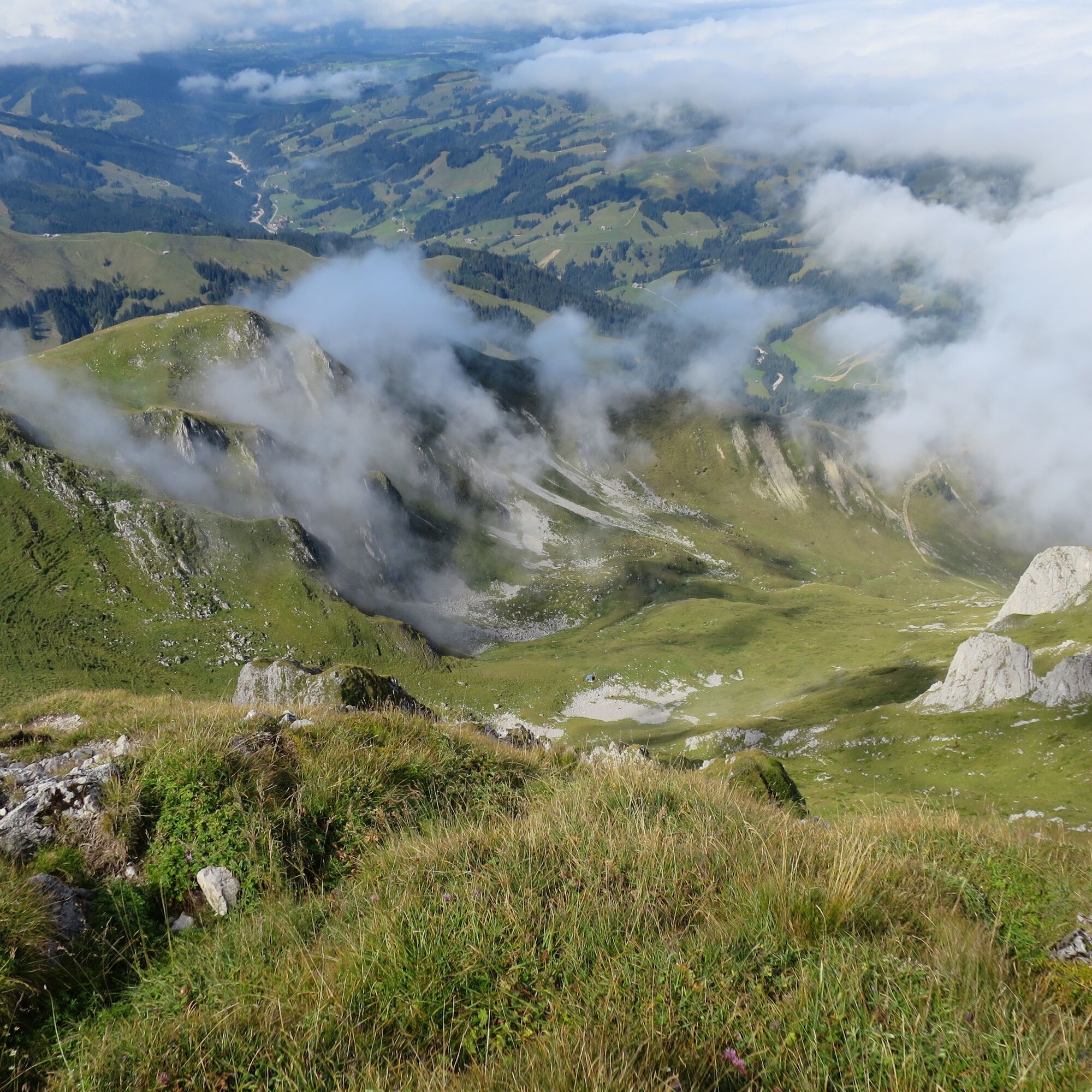
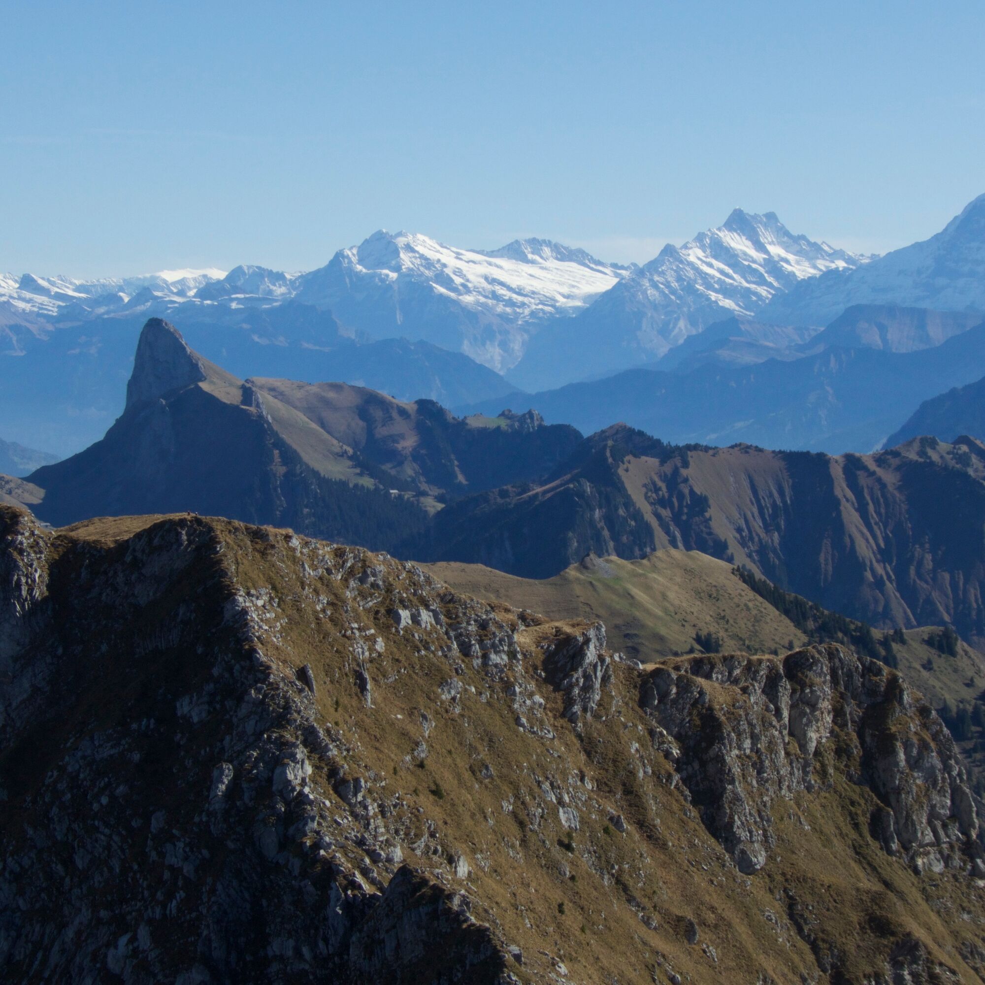
Pass the disused sulphur spring and climb up to the Lauigrat, which you follow to the saddle after the Huerlisboden. The mountain trail crosses the south-western flank towards Alpiglegalm. Now the view also opens up to the Oberland mountains. Via the south ridge, you finally reach the summit of the Ochsens, quite exposed. The highest point of the Gantrisch Nature Park offers a magnificent panoramic view of the Gantrisch chain from the Stockhorn to the Fribourg Alps and, of course, out into the Mittelland or towards the Oberland. Even Mont Blanc can be spotted in good weather. The descent is via the same route to the Schwefelbergbad post bus station.

Yes
Yes
Hiking equipment suitable for the weather
Route with Switzerland Mobile
Popular tours in the neighbourhood
- 4,0
Höhenwanderung Gurnigel - Stockhorn
heavyHiking11,2 km Patraflon & Schopfenspitz
mediumHiking15,1 km- 4,4
Gipfelwanderung Gantrisch, 2176 m.ü.M
mediumHiking9,13 km - 4,7
Wasserscheide - Gantrisch Seeli
lightHiking9,33 km Riggisalp-Brecca-Schwarzsee Gypsera
mediumHiking10,1 km- 5,0
Lake Schwarzsee circular route (SwitzerlandMobility 787)
lightWinter hiking4,10 km - 3,2
Breccaschlund Panorama Trail (Switzerland Mobil 267)
mediumHiking12,9 km - 4,7
Stockholm über Leiterepass
lightHiking10,7 km - 4,0
Circular hike Gürbequelle
mediumHiking8,24 km Anspruchsvolle Wanderung im Simmental
mediumHiking19,0 km

Hiking & Tracking


Don't miss out on offers and inspiration for your next holiday
Your e-mail address has been added to the mailing list.