Abfahrt nach Kiental
medium
Navigate
Navigate
Get this tour on your mobile
Abfahrt nach Kiental
medium
Ski tour
12.22
km
Scan the QR code and start navigation in the bergfex app

Hiking & Tracking


Distance
12.22
km
Duration
01:31
h
Ascent
44
m
Sea level
925 -
2,718
m
Track download
Abfahrt nach Kiental
medium
Ski tour
12.22
km


Route
Drättehorn
(2,794 m)
Summit
0.0 km
Bärenfeld
(1,921 m)
Corridor/terrain
3.4 km
Alte Weide
(1,287 m)
Corridor/terrain
7.5 km
Kneuweide
(1,210 m)
Corridor/terrain
9.6 km
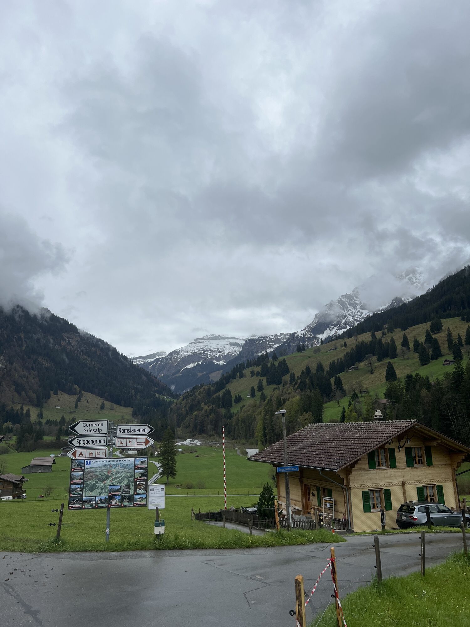
Kiental
(958 m)
Village
12.2 km
Route
Abfahrt nach Kiental
medium
Ski tour
12.22
km
Drättehorn
(2,794 m)
Summit
0.0 km
Bärenfeld
(1,921 m)
Corridor/terrain
3.4 km
Alte Weide
(1,287 m)
Corridor/terrain
7.5 km
Kneuweide
(1,210 m)
Corridor/terrain
9.6 km
Kiental
(958 m)
Village
12.2 km
No reviews yet
Popular tours in the neighbourhood
-
4.5
Oeschinensee
lightHiking 15.2 km -
3.0
Morgenberghorn
mediumHiking 9.60 km -
4.6
Mülenen - Glogghore - Niesen - Niesen Kulm
heavyHiking 7.86 km -
Gimmelwald - Tanzbödeli - Oberhornsee - Stechelberg
mediumHiking 22.3 km -
Kandersteg-SAC Blüemlisalp
heavyHiking 7.83 km -
3.8
Lobhornhütte / Sulseewli
mediumHiking 7.14 km -
4.0
Eigertrail - Männlichen
mediumHiking 18.3 km -
4.8
Restaurant Bergstübli - Oberbärgli - Berghaus Oeschinensee - Berghotel Oeschinensee
mediumHiking 8.85 km -
Via ferrata Mürren
mediumVia ferrata 2.20 km -
Durch das Lauterbrunnental
lightHiking 15.1 km

Hiking & Tracking

Over 550.000 tour suggestions, detailed maps and an intuitive route planner make the app a must-have for all nature enthusiasts.

Don't miss out on offers and inspiration for your next holiday
Subscribe to the newsletter
Error
An error has occurred. Please try again.
Thank you for your registration
Your e-mail address has been added to the mailing list.
Tours throughout Europe
Austria
Switzerland
Germany
Italy
Slovenia
France
Netherlands
Belgium
Poland
Liechtenstein
Czechia
Slovakia
Spain
Croatia
Bosnia and Herzegovina
Luxembourg
Andorra
Portugal
Iceland
United Kingdom
Ireland
Greece
Albania
North Macedonia
Malta
Norway
Montenegro
Moldova
Kosovo
Hungary
San Marino
Romania
Estonia
Latvia
Belarus
Cyprus
Lithuania
Serbia
Bulgaria
Monaco
Denmark
Sweden
Finland