Boltigen - Simmental - Kirche Boltigen - Kirche Allmendingen
medium
Navigate
Navigate
Get this tour on your mobile
Boltigen - Simmental - Kirche Boltigen - Kirche Allmendingen
medium
Racing
80,53
km
Scan the QR code and start navigation in the bergfex app

Hiking & Tracking


Distance
80,53
km
Duration
04:22
h
Ascent
739
m
Sea level
567 -
822
m
Track download
Boltigen - Simmental - Kirche Boltigen - Kirche Allmendingen
medium
Racing
80,53
km


Route
Kirche Boltigen
(830 m)
Place of worship
0,6 km
Därstetten
(765 m)
Village
10,0 km
Thoracker
(742 m)
Neighbourhood
14,3 km
Oberdorf
(753 m)
Neighbourhood
14,5 km
Thun
(560 m)
City
44,1 km
Zwieselberg
(660 m)
Village
52,2 km
Kirche Boltigen
(830 m)
Place of worship
79,9 km
Route
Boltigen - Simmental - Kirche Boltigen - Kirche Allmendingen
medium
Racing
80,53
km
Boltigen
(817 m)
Railway station
0,0 km
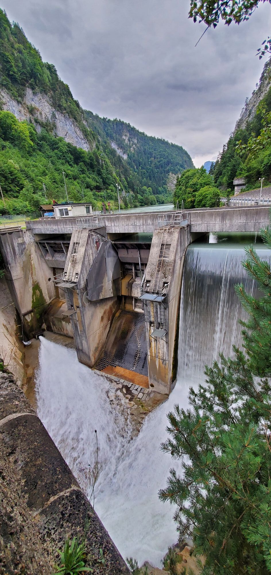
Simmental
(822 m)
Restaurant
0,2 km
Boltigen
(824 m)
Village
0,3 km
Kirche Boltigen
(830 m)
Place of worship
0,6 km
Pfaffenried
(819 m)
Settlement
3,2 km
Wüstenbach
(833 m)
Settlement
3,7 km
Ey
(797 m)
Corridor/terrain
4,2 km
Oberwil im Simmental
(850 m)
Village
5,3 km
Heidenweidli
(784 m)
Corridor/terrain
5,4 km
Ey
(783 m)
Corridor/terrain
5,9 km
Ey
(767 m)
Corridor/terrain
7,2 km
Simmenweidli
(762 m)
Corridor/terrain
7,5 km
Oberdorf
(751 m)
Corridor/terrain
8,6 km
Doktorhaus
(741 m)
Corridor/terrain
8,7 km
Weissenburg
(743 m)
Village
8,7 km
Dorf
(741 m)
Corridor/terrain
8,7 km
Alte Post
(742 m)
Corridor/terrain
8,7 km
Stalden
(756 m)
Corridor/terrain
8,9 km
Friberig
(764 m)
Settlement
9,4 km
Grabenmatte
(799 m)
Neighbourhood
9,6 km
Reichenbachmatte
(757 m)
Neighbourhood
9,7 km
Richenbach
(784 m)
Settlement
9,8 km
Kehlstadtmatte
(758 m)
Corridor/terrain
10,0 km
Därstetten
(765 m)
Village
10,0 km
Lochmatte
(755 m)
Corridor/terrain
10,1 km
Bären
(758 m)
Restaurant
10,1 km
Restaurant Bahnhof
(757 m)
Corridor/terrain
10,3 km
Därstetten
(758 m)
Railway station
10,3 km
Hasli
(789 m)
Settlement
10,4 km
Baumgärtli
(760 m)
Corridor/terrain
10,4 km
Hüseli
(749 m)
Neighbourhood
10,5 km
Haslimatte
(759 m)
Corridor/terrain
10,6 km
Bühl
(756 m)
Corridor/terrain
10,8 km
Rohracker
(752 m)
Corridor/terrain
11,0 km
Wilermatte
(739 m)
Corridor/terrain
11,1 km
Wiler
(732 m)
Settlement
11,3 km
Jäger
(741 m)
Restaurant
12,7 km
Ringoldingen
(749 m)
Settlement
12,7 km
Hüttacker
(735 m)
Corridor/terrain
12,8 km
Stapfackerweid
(736 m)
Corridor/terrain
13,2 km
Bächenmattli
(733 m)
Corridor/terrain
13,7 km
Acherli
(713 m)
Corridor/terrain
14,1 km
Thoracker
(742 m)
Neighbourhood
14,3 km
Chlidorf Beizli
(721 m)
Restaurant
14,4 km
Grube
(714 m)
Corridor/terrain
14,4 km
Pulvermatte
(739 m)
Neighbourhood
14,5 km
Oberdorf
(753 m)
Neighbourhood
14,5 km
Kleindorf
(721 m)
Neighbourhood
14,5 km
Weiermatte
(702 m)
Corridor/terrain
14,6 km
Platz
(716 m)
Corridor/terrain
14,7 km
Farb
(704 m)
Corridor/terrain
14,9 km
Erlenbach im Simmental
(722 m)
Village
14,9 km
Linde
(710 m)
Corridor/terrain
15,0 km
Raiffeisenhaus
(702 m)
Corridor/terrain
15,0 km
Drogerie
(709 m)
Corridor/terrain
15,0 km
Kastel
(711 m)
Corridor/terrain
16,6 km
Oey
(669 m)
Village
16,6 km
Bären
(705 m)
Corridor/terrain
16,9 km
Latterbach
(700 m)
Village
17,0 km
Gasthof Adler
(701 m)
Restaurant
17,0 km
Adler
(699 m)
Corridor/terrain
17,0 km
Schluecht
(687 m)
Corridor/terrain
17,0 km
Hof
(683 m)
Corridor/terrain
17,5 km
Stalden
(675 m)
Settlement
17,6 km
Bruni
(673 m)
Corridor/terrain
17,8 km
Stutzweidli
(688 m)
Corridor/terrain
18,1 km
Nagelfluh
(653 m)
Corridor/terrain
18,3 km
Ausserlatterbach
(672 m)
Corridor/terrain
18,7 km
Brünnlisau
(642 m)
Corridor/terrain
19,4 km
Onkel Thoms Schnitzelscheune
(625 m)
Restaurant
21,6 km
Hirschen
(616 m)
Restaurant
23,0 km
Reutigen
(622 m)
Village
23,6 km
Tell
(620 m)
Restaurant
23,8 km
Niederstocken
(634 m)
Village
26,8 km
Restaurant Stockhorn
(650 m)
Restaurant
28,2 km
Oberstocken
(691 m)
Village
29,8 km
Pohlern
(710 m)
Village
31,3 km
Bären
(668 m)
Restaurant
34,0 km
Blumenstein
(659 m)
Village
34,3 km
Uebeschi
(685 m)
Village
37,4 km
Restaurant Löwen
(609 m)
Restaurant
41,3 km
Thierachern
(610 m)
Village
41,4 km
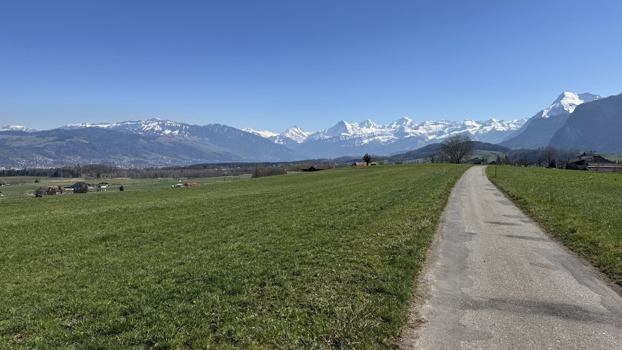
Thun
(560 m)
City
44,1 km
Allmendingen
(574 m)
Neighbourhood
44,1 km
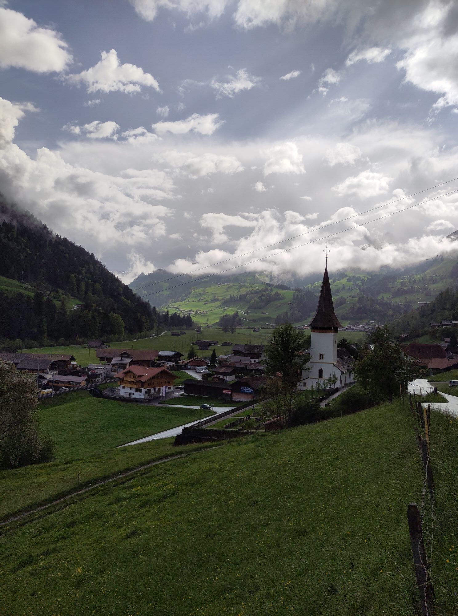
Kirche Allmendingen
(574 m)
Place of worship
44,2 km
Amsoldingen
(637 m)
Village
48,6 km
Bühl
(655 m)
Settlement
49,9 km
Dürrenacker
(664 m)
Settlement
50,0 km
Weyer
(663 m)
Settlement
50,1 km
Bodenwald
(668 m)
Settlement
50,3 km
Riederwald
(690 m)
Settlement
50,8 km
Beim Wald
(667 m)
Corridor/terrain
51,1 km
Schafallmend
(645 m)
Corridor/terrain
51,7 km
Zwieselberg
(660 m)
Village
52,2 km
Reutigen
(622 m)
Village
54,6 km
Hirschen
(616 m)
Restaurant
55,0 km
Gasthof Kreuz
(635 m)
Restaurant
57,2 km
Hotel Löwen
(636 m)
Restaurant
57,4 km
Wimmis
(645 m)
Village
57,6 km
Port
(630 m)
Corridor/terrain
58,4 km
Oey-Diemtigen
(670 m)
Railway station
62,6 km
Latterbach
(700 m)
Village
62,6 km
Sternen
(669 m)
Restaurant
62,6 km
Bahnhof
(670 m)
Restaurant
62,6 km
Oey
(669 m)
Village
62,9 km
Wiler
(701 m)
Settlement
63,7 km
Erlenbach
(681 m)
Railway station
65,2 km
Alpinamatte
(688 m)
Corridor/terrain
65,3 km
Farb
(704 m)
Corridor/terrain
65,6 km
Erlenbach im Simmental
(722 m)
Village
65,6 km
Platz
(716 m)
Corridor/terrain
65,8 km
Weiermatte
(702 m)
Corridor/terrain
65,9 km
Oberdorf
(753 m)
Neighbourhood
66,0 km
Pulvermatte
(739 m)
Neighbourhood
66,0 km
Kleindorf
(721 m)
Neighbourhood
66,0 km
Grube
(714 m)
Corridor/terrain
66,0 km
Chlidorf Beizli
(721 m)
Restaurant
66,0 km
Thoracker
(742 m)
Neighbourhood
66,2 km
Acherli
(713 m)
Corridor/terrain
66,3 km
Bächenmattli
(733 m)
Corridor/terrain
66,7 km
Stapfackerweid
(736 m)
Corridor/terrain
67,3 km
Hüttacker
(735 m)
Corridor/terrain
67,6 km
Ringoldingen
(749 m)
Settlement
67,8 km
Jäger
(741 m)
Restaurant
67,8 km
Wiler
(732 m)
Settlement
69,1 km
Rohracker
(752 m)
Corridor/terrain
69,3 km
Wilermatte
(739 m)
Corridor/terrain
69,3 km
Bühl
(756 m)
Corridor/terrain
69,7 km
Haslimatte
(759 m)
Corridor/terrain
69,9 km
Hüseli
(749 m)
Neighbourhood
70,0 km
Baumgärtli
(760 m)
Corridor/terrain
70,0 km
Hasli
(789 m)
Settlement
70,0 km
Därstetten
(758 m)
Railway station
70,1 km
Restaurant Bahnhof
(757 m)
Corridor/terrain
70,1 km
Bären
(758 m)
Restaurant
70,3 km
Lochmatte
(755 m)
Corridor/terrain
70,3 km
Kehlstadtmatte
(758 m)
Corridor/terrain
70,4 km
Därstetten
(765 m)
Village
70,4 km
Richenbach
(784 m)
Settlement
70,7 km
Reichenbachmatte
(757 m)
Neighbourhood
70,8 km
Grabenmatte
(799 m)
Neighbourhood
70,9 km
Friberig
(764 m)
Settlement
71,1 km
Stalden
(756 m)
Corridor/terrain
71,6 km
Weissenburg
(743 m)
Village
71,8 km
Alte Post
(742 m)
Corridor/terrain
71,8 km
Dorf
(741 m)
Corridor/terrain
71,8 km
Doktorhaus
(741 m)
Corridor/terrain
71,8 km
Oberdorf
(751 m)
Corridor/terrain
71,9 km
Simmenweidli
(762 m)
Corridor/terrain
72,9 km
Ey
(767 m)
Corridor/terrain
73,3 km
Ey
(783 m)
Corridor/terrain
74,6 km
Heidenweidli
(784 m)
Corridor/terrain
75,1 km
Oberwil im Simmental
(850 m)
Village
75,2 km
Ey
(797 m)
Corridor/terrain
76,2 km
Wüstenbach
(833 m)
Settlement
76,8 km
Pfaffenried
(819 m)
Settlement
77,3 km
Kirche Boltigen
(830 m)
Place of worship
79,9 km
Boltigen
(824 m)
Village
80,2 km
Simmental
(822 m)
Restaurant
80,3 km
Boltigen
(817 m)
Railway station
80,5 km
No reviews yet
Popular tours in the neighbourhood
- 4,0
Höhenwanderung Gurnigel - Stockhorn
heavyHiking11,2 km - 4,7
Mülenen - Glogghore - Niesen - Niesen Kulm
heavyHiking7,86 km - 4,4
Gipfelwanderung Gantrisch, 2176 m.ü.M
mediumHiking9,13 km - 4,7
Wasserscheide - Gantrisch Seeli
lightHiking9,33 km - 4,7
Summit hike Ochsen, 2188 m.a.s.l.
mediumHiking7,94 km - 4,7
Stockholm über Leiterepass
lightHiking10,7 km - 4,0
Circular hike Gürbequelle
mediumHiking8,24 km Anspruchsvolle Wanderung im Simmental
mediumHiking19,0 kmSelibüel Panorama Trail (SwitzerlandMobility 113)
lightSnowshoe4,34 kmGantrisch Panorama route with Gäggersteg (Switzerland Mobility 379)
heavyHiking21,0 km
Hiking & Tracking

Over 550.000 tour suggestions, detailed maps and an intuitive route planner make the app a must-have for all nature enthusiasts.

Don't miss out on offers and inspiration for your next holiday
Subscribe to the newsletter
Error
An error has occurred. Please try again.Thank you for your registration
Your e-mail address has been added to the mailing list.
Tours throughout Europe
Austria Switzerland Germany Italy Slovenia France Netherlands Belgium Poland Liechtenstein Czechia Slovakia Spain Croatia Bosnia and Herzegovina Luxembourg Andorra Portugal Iceland United Kingdom Ireland Greece Albania North Macedonia Malta Norway Montenegro Moldova Kosovo Hungary San Marino Romania Estonia Latvia Belarus Cyprus Lithuania Serbia Bulgaria Monaco Denmark Sweden Finland