Riedlhütte - Grüdelberg - Liz - St. Anna
heavy
Navigate
Navigate
Get this tour on your mobile
Riedlhütte - Grüdelberg - Liz - St. Anna
heavy
Hiking
25,03
km
Scan the QR code and start navigation in the bergfex app

Hiking & Tracking


Distance
25,03
km
Duration
06:35
h
Ascent
504
m
Sea level
668 -
822
m
Track download
Riedlhütte - Grüdelberg - Liz - St. Anna
heavy
Hiking
25,03
km


Route
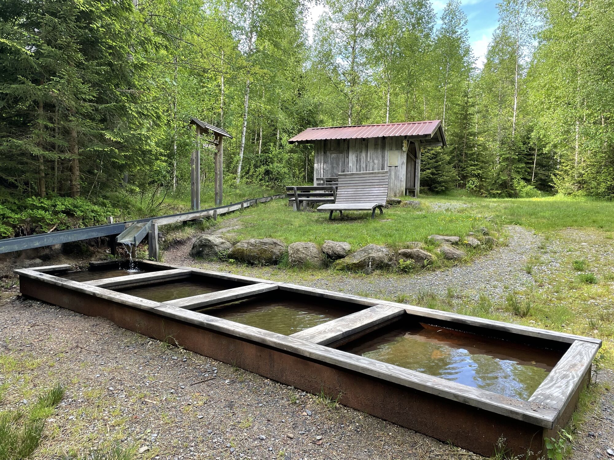
Riedlhütte
(747 m)
Village
0,3 km
Siebenellen
(762 m)
Settlement
4,6 km
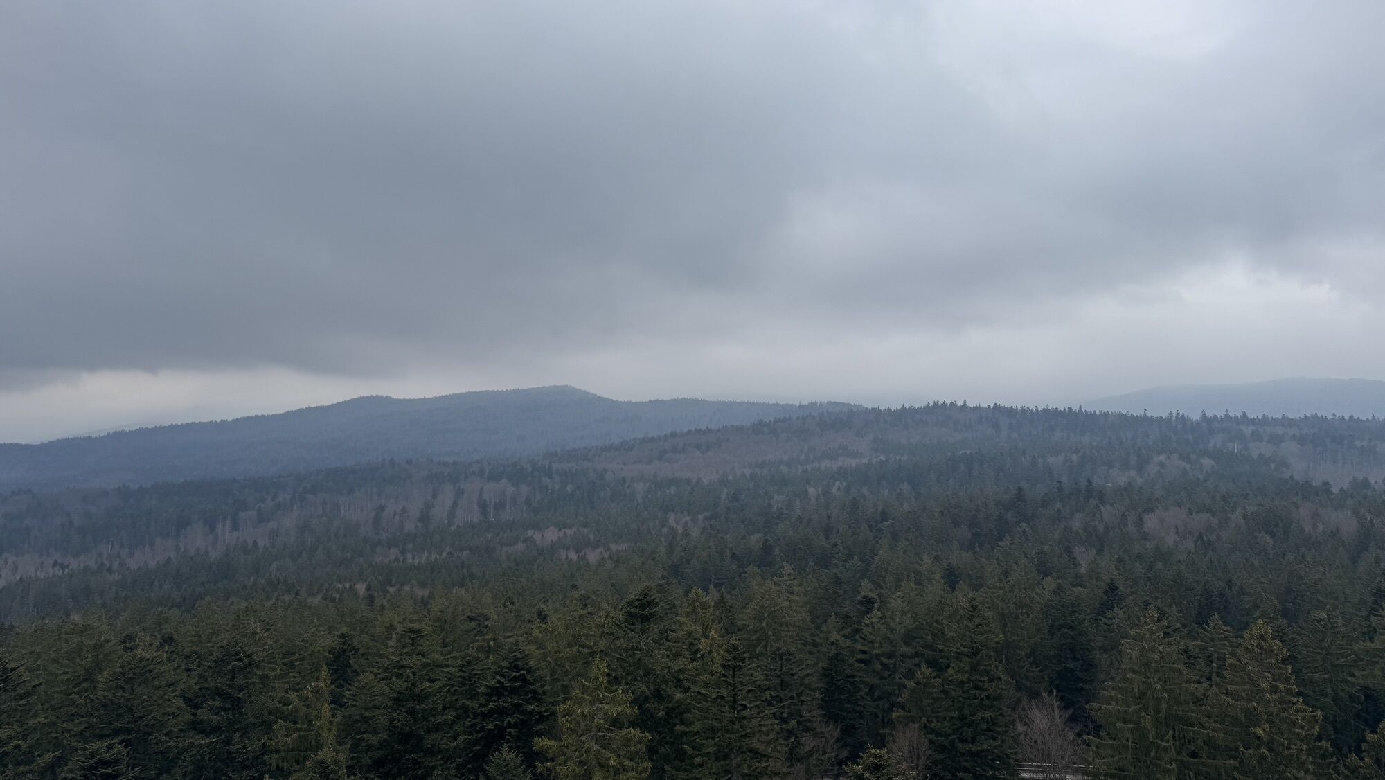
Grüdelberg
(808 m)
Summit
6,3 km
Schönauer Mühle
(667 m)
Settlement
8,0 km
Neuschönau
(752 m)
Village
9,7 km
St. Anna
(752 m)
Place of worship
10,1 km
Altschönau
(721 m)
Village
15,4 km
Route
Riedlhütte - Grüdelberg - Liz - St. Anna
heavy
Hiking
25,03
km
Riedlhütte
(747 m)
Village
0,3 km
zum Friedl
(747 m)
Restaurant
0,7 km
Siebenellen
(762 m)
Settlement
4,6 km
Grüdelberg
(808 m)
Summit
6,3 km
Schönauer Mühle
(667 m)
Settlement
8,0 km
Liz
(742 m)
Restaurant
9,7 km
Neuschönau
(752 m)
Village
9,7 km
Landgasthof Euler
(746 m)
Restaurant
9,9 km
St. Anna
(752 m)
Place of worship
10,1 km
Wasserelemente
(779 m)
Playground
10,4 km
Waldwirtschaft
(814 m)
Restaurant
11,8 km
Altschönau
(721 m)
Village
15,4 km
Siebenellen
(762 m)
Settlement
20,2 km
Riedlhütte
(747 m)
Village
25,0 km
No reviews yet
Popular tours in the neighbourhood
- 4,3
Finsterau - Lusen und zurück
mediumHiking13,2 km - 4,5
Großer Rachel - Rundweg
mediumHiking11,8 km - 2,7
Großer Rachel
Hiking17,9 km - 3,5
Schachtenwanderung
Hiking20,7 km - 4,0
Hexenpfad
Hiking12,5 km - 5,0
Nach Grosser Rachel
mediumHiking13,5 km - 4,0
Rachel-Lusen Rundweg
heavyHiking30,8 km - 3,0
Frauenau Rundwanderung Trinkwassertalsperre (5)
lightHiking9,03 km Bayrischer Wald-Lusen Runde
mediumHiking9,48 km- 5,0
Geheimtipp-Wanderung durch das Kerngebiet des Nationalparks
mediumHiking18,8 km
Hiking & Tracking

Over 550.000 tour suggestions, detailed maps and an intuitive route planner make the app a must-have for all nature enthusiasts.

Don't miss out on offers and inspiration for your next holiday
Subscribe to the newsletter
Error
An error has occurred. Please try again.Thank you for your registration
Your e-mail address has been added to the mailing list.
Tours throughout Europe
Austria Switzerland Germany Italy Slovenia France Netherlands Belgium Poland Liechtenstein Czechia Slovakia Spain Croatia Bosnia and Herzegovina Luxembourg Andorra Portugal Iceland United Kingdom Ireland Greece Albania North Macedonia Malta Norway Montenegro Moldova Kosovo Hungary San Marino Romania Estonia Latvia Belarus Cyprus Lithuania Serbia Bulgaria Monaco Denmark Sweden Finland