Berggasthaus Stroblalm - Högl - Stroblalm
light
Navigate
Navigate
Get this tour on your mobile
Berggasthaus Stroblalm - Högl - Stroblalm
light
Hiking
2.46
km
Scan the QR code and start navigation in the bergfex app

Hiking & Tracking


Distance
2.46
km
Duration
00:35
h
Ascent
35
m
Sea level
745 -
768
m
Track download
Berggasthaus Stroblalm - Högl - Stroblalm
light
Hiking
2.46
km


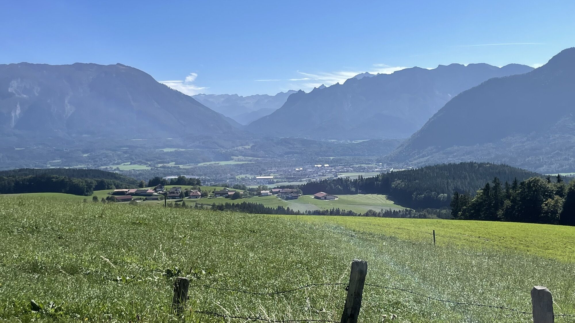
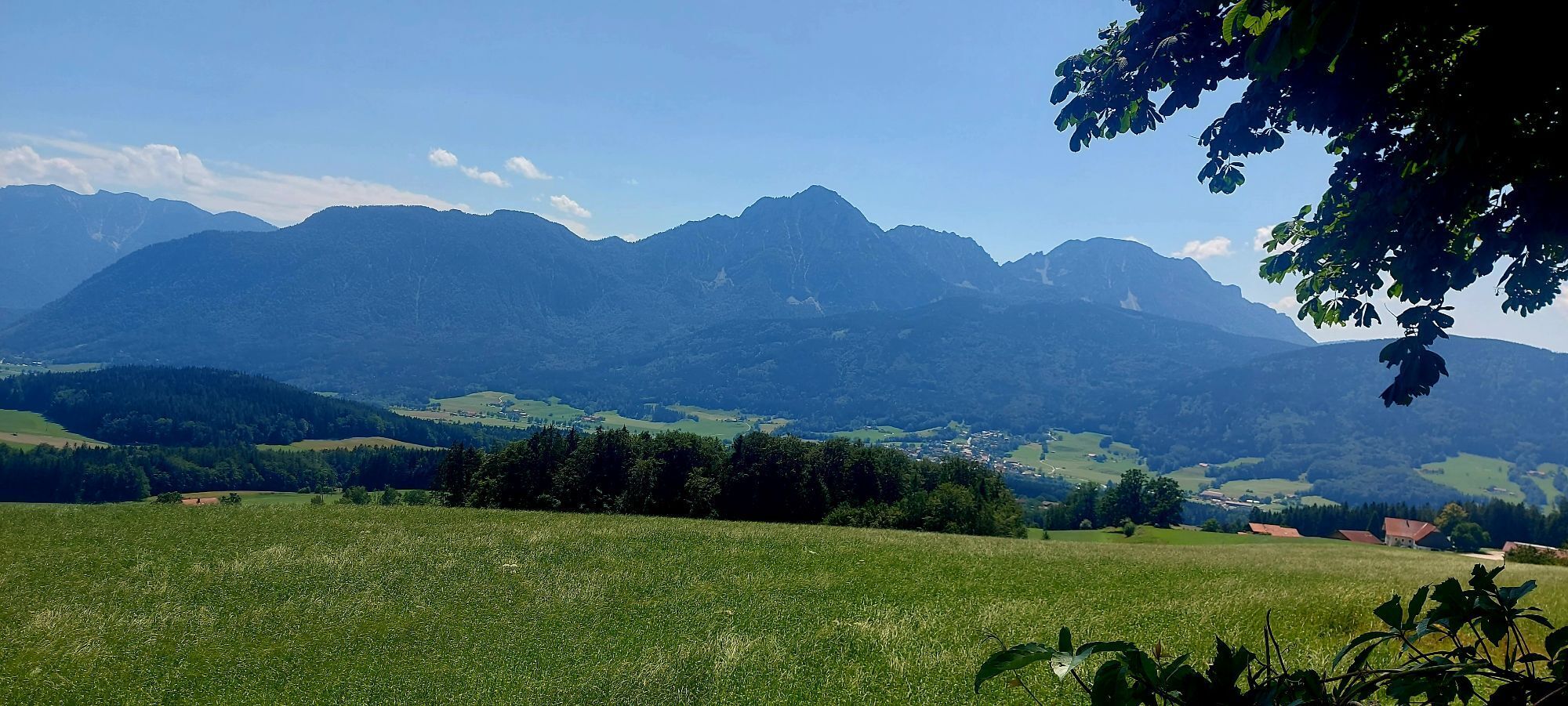
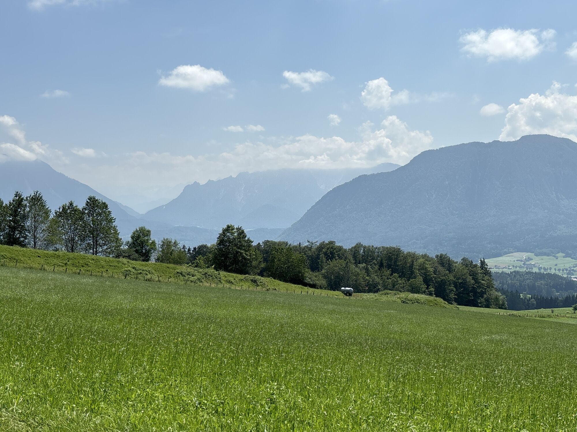
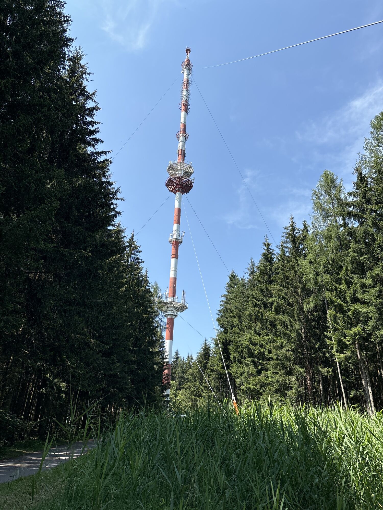
Photos from our users

Route
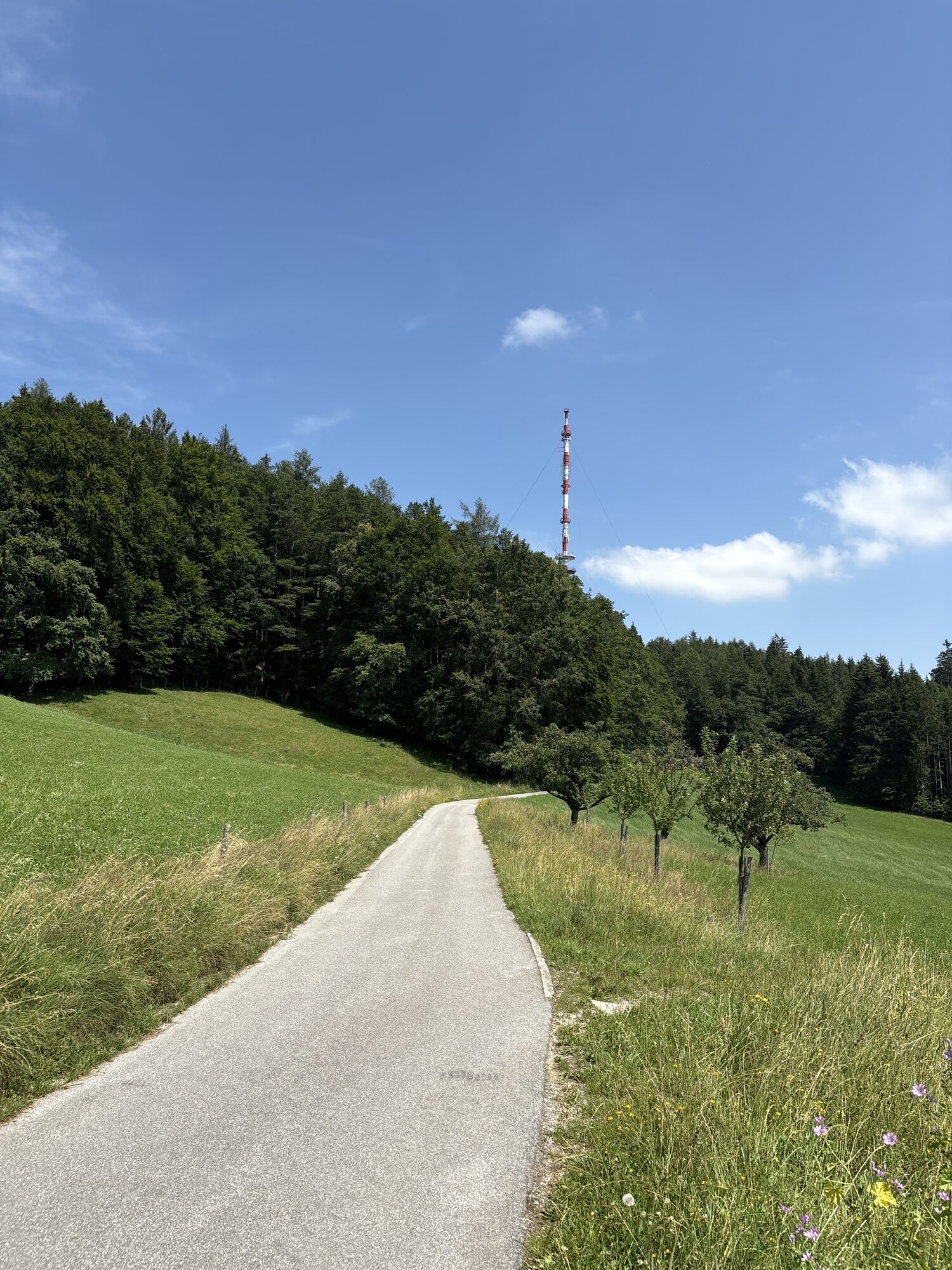
Berggasthaus Stroblalm
(760 m)
Restaurant
0.1 km
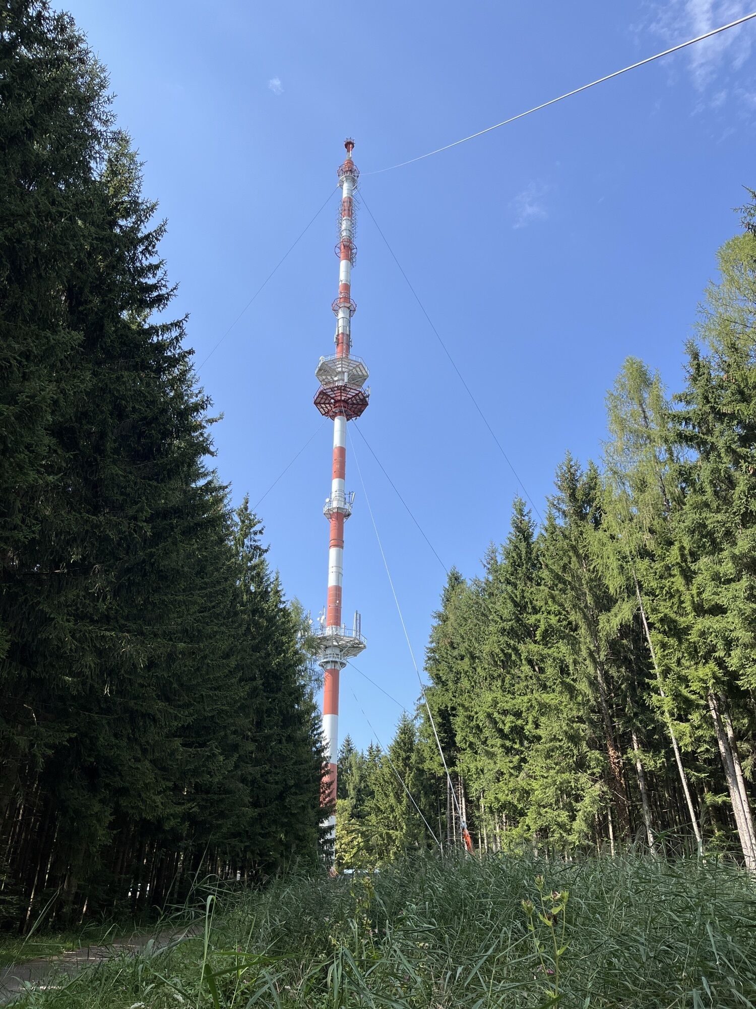
Högl
(827 m)
Summit
1.5 km
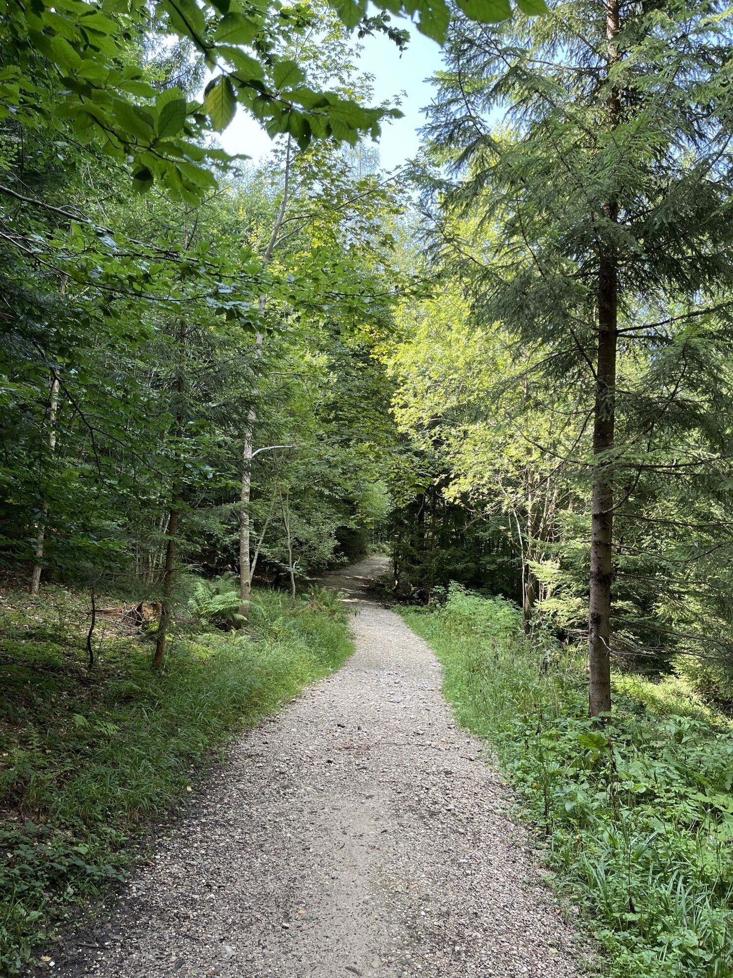
Stroblalm
(758 m)
Corridor/terrain
2.5 km
Route
Berggasthaus Stroblalm - Högl - Stroblalm
light
Hiking
2.46
km
Berggasthaus Stroblalm
(760 m)
Restaurant
0.1 km
Högl
(827 m)
Summit
1.5 km
Stroblalm
(758 m)
Corridor/terrain
2.5 km
No reviews yet
Popular tours in the neighbourhood
-
4.3
Staufen-Bergtour
mediumHiking 14.1 km -
4.1
Panoramic circular route Kaiserbuche
lightHiking 4.93 km -
4.7
Reitsteig - Dopplersteig Runde_Untersberg
mediumHigh tour 9.89 km -
5.0
Untersberg (Salzburger Hochthron)
mediumHiking 11.8 km -
4.0
From Latschenwirt over Tannenwinkel to Wolfschwang
lightHiking 5.55 km -
3.8
UNTERSBERG: Salzburger Hochtrohn (1852m)
mediumHiking 11.2 km -
4.6
Untersberg Bahn - Salzburger Hochthron - Berchstendgadener Hochthron
mediumHiking 11.2 km -
4.9
Dötzenkopf Rundweg
mediumHiking 6.73 km -
4.5
Alpgarten-Rundweg
Hiking 2.93 km -
4.2
Stoanara Jaga Hochstaufen Bad Reichenhall, Deutschland
heavyHiking 14.8 km

Hiking & Tracking

Over 550.000 tour suggestions, detailed maps and an intuitive route planner make the app a must-have for all nature enthusiasts.

Don't miss out on offers and inspiration for your next holiday
Subscribe to the newsletter
Error
An error has occurred. Please try again.
Thank you for your registration
Your e-mail address has been added to the mailing list.
Tours throughout Europe
Austria
Switzerland
Germany
Italy
Slovenia
France
Netherlands
Belgium
Poland
Liechtenstein
Czechia
Slovakia
Spain
Croatia
Bosnia and Herzegovina
Luxembourg
Andorra
Portugal
Iceland
United Kingdom
Ireland
Greece
Albania
North Macedonia
Malta
Norway
Montenegro
Moldova
Kosovo
Hungary
San Marino
Romania
Estonia
Latvia
Belarus
Cyprus
Lithuania
Serbia
Bulgaria
Monaco
Denmark
Sweden
Finland