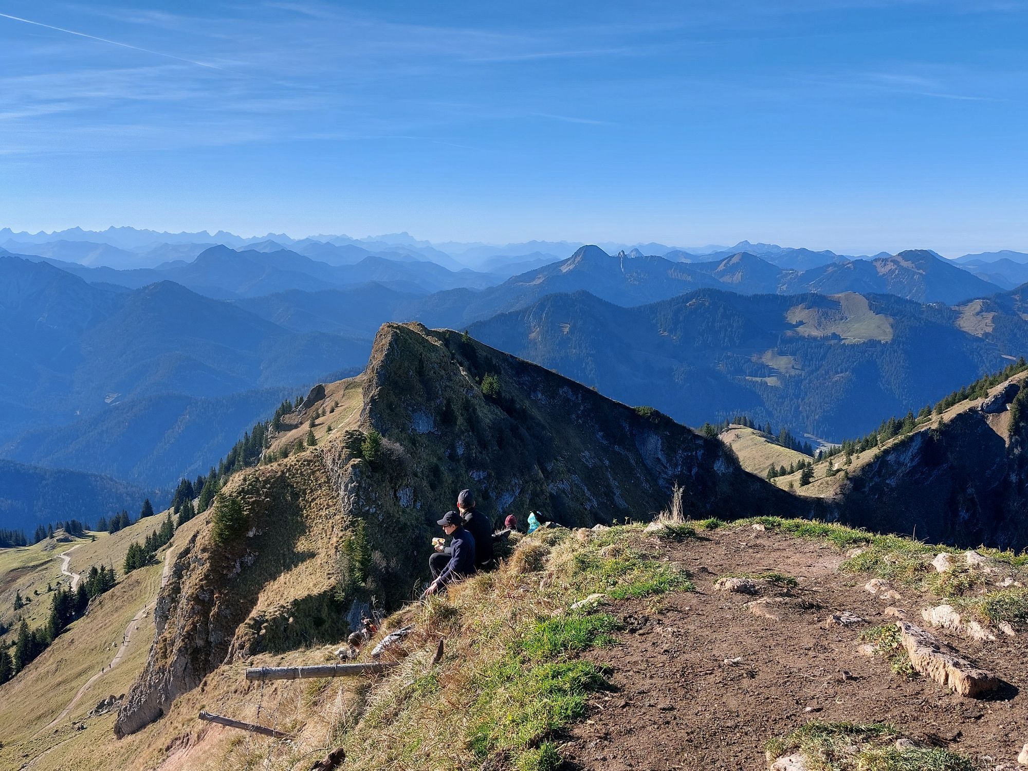
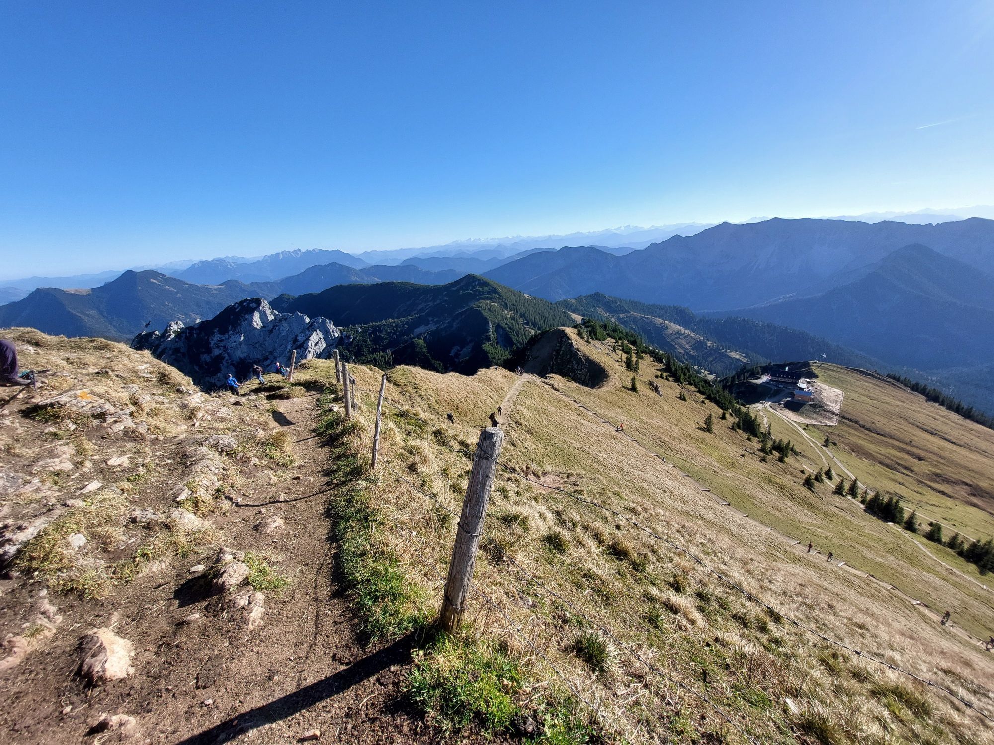
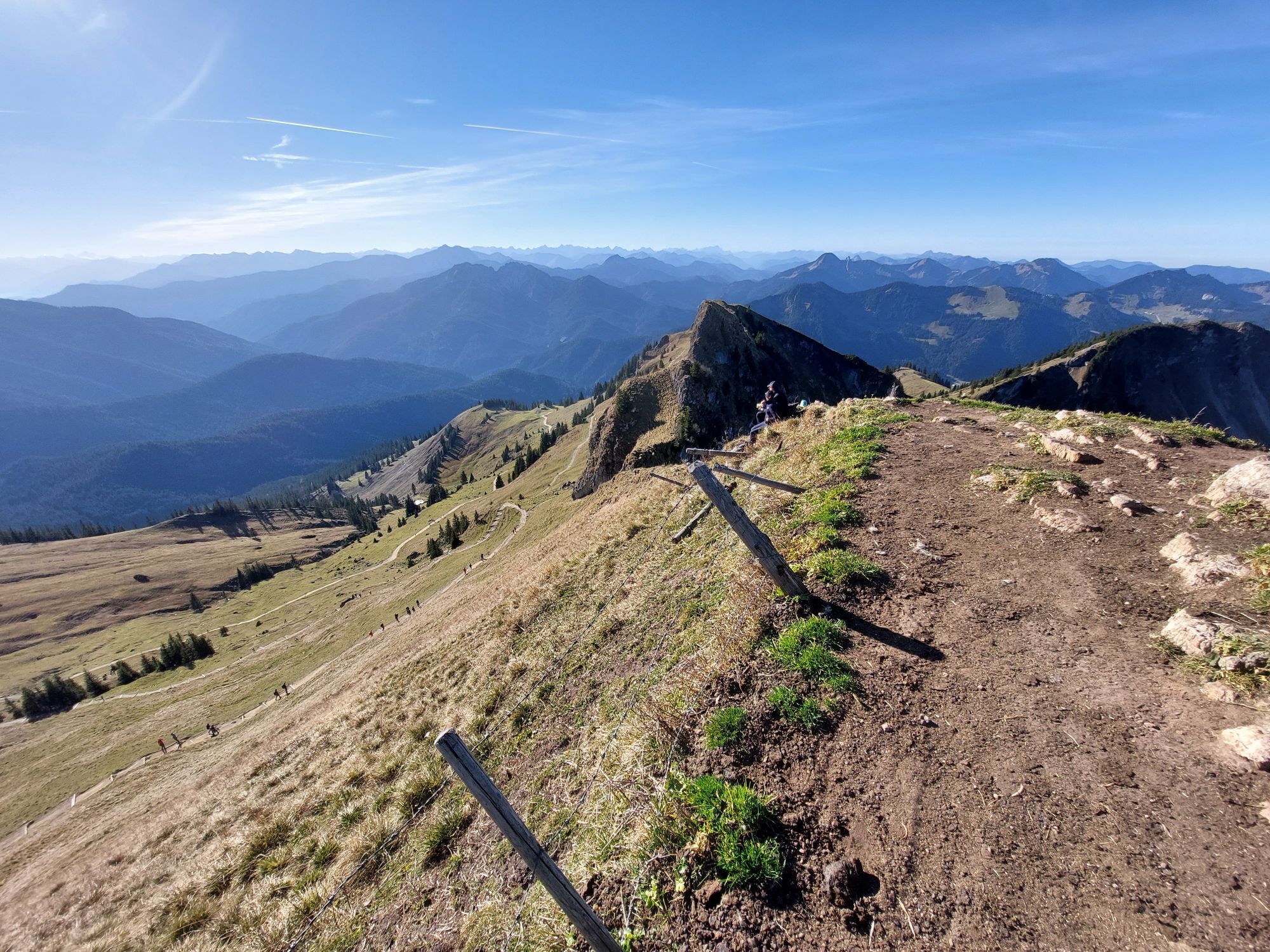
Geitau - Lempersberg - Rotwandkopf - Rotwand
heavy
Navigate
Navigate
Get this tour on your mobile
Geitau - Lempersberg - Rotwandkopf - Rotwand
heavy
Hiking
20.95
km
Scan the QR code and start navigation in the bergfex app

Hiking & Tracking


Distance
20.95
km
Duration
06:27
h
Ascent
1,282
m
Sea level
770 -
1,873
m
Track download
Geitau - Lempersberg - Rotwandkopf - Rotwand
heavy
Hiking
20.95
km


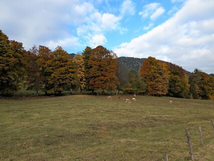
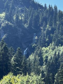
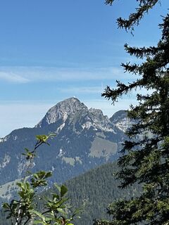
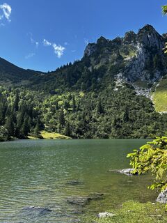
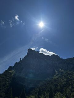
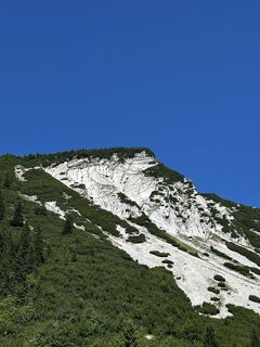
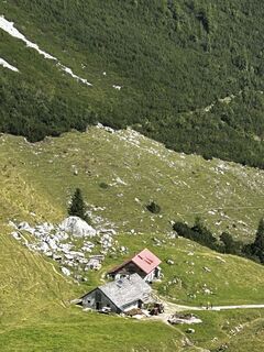
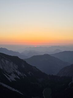
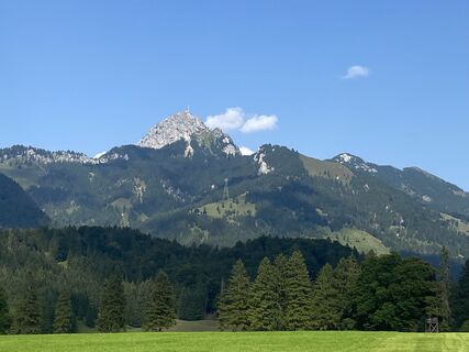
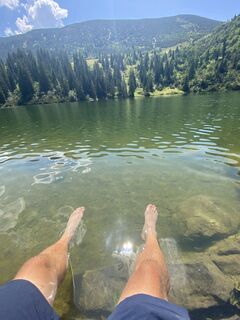
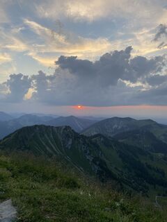
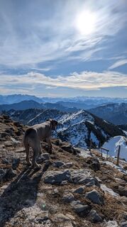
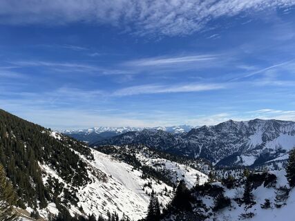
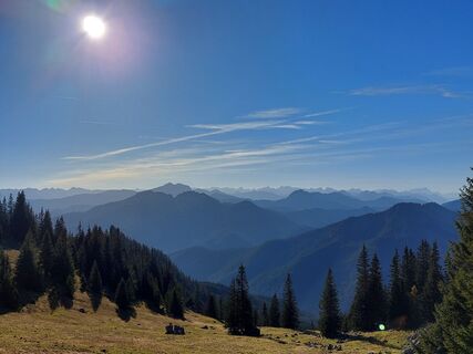
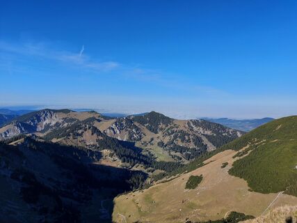
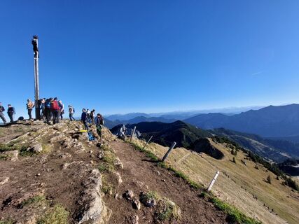
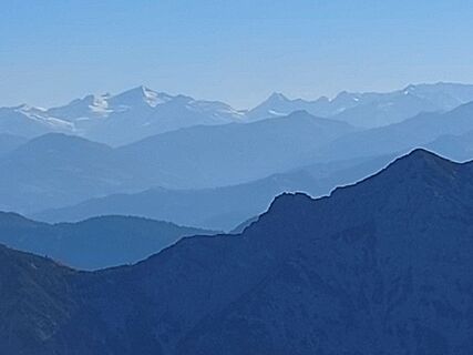
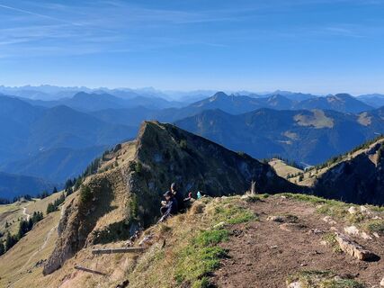
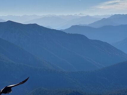
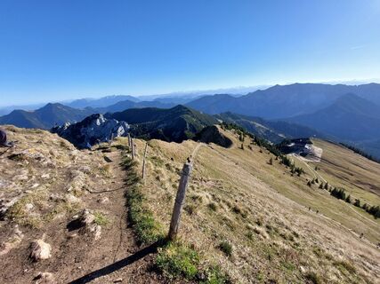
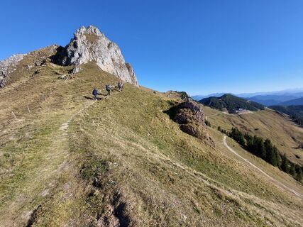
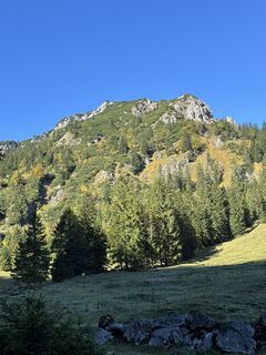
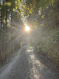
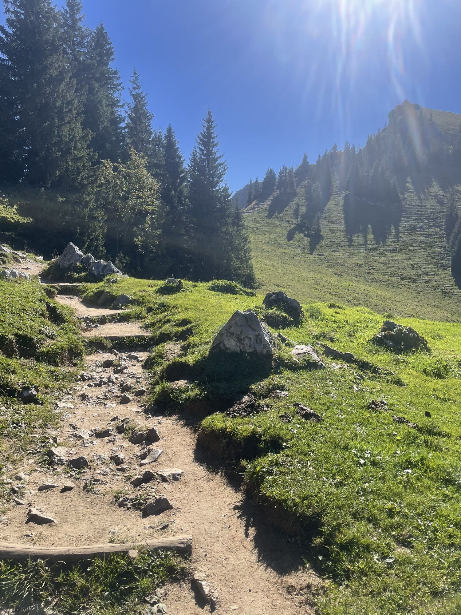
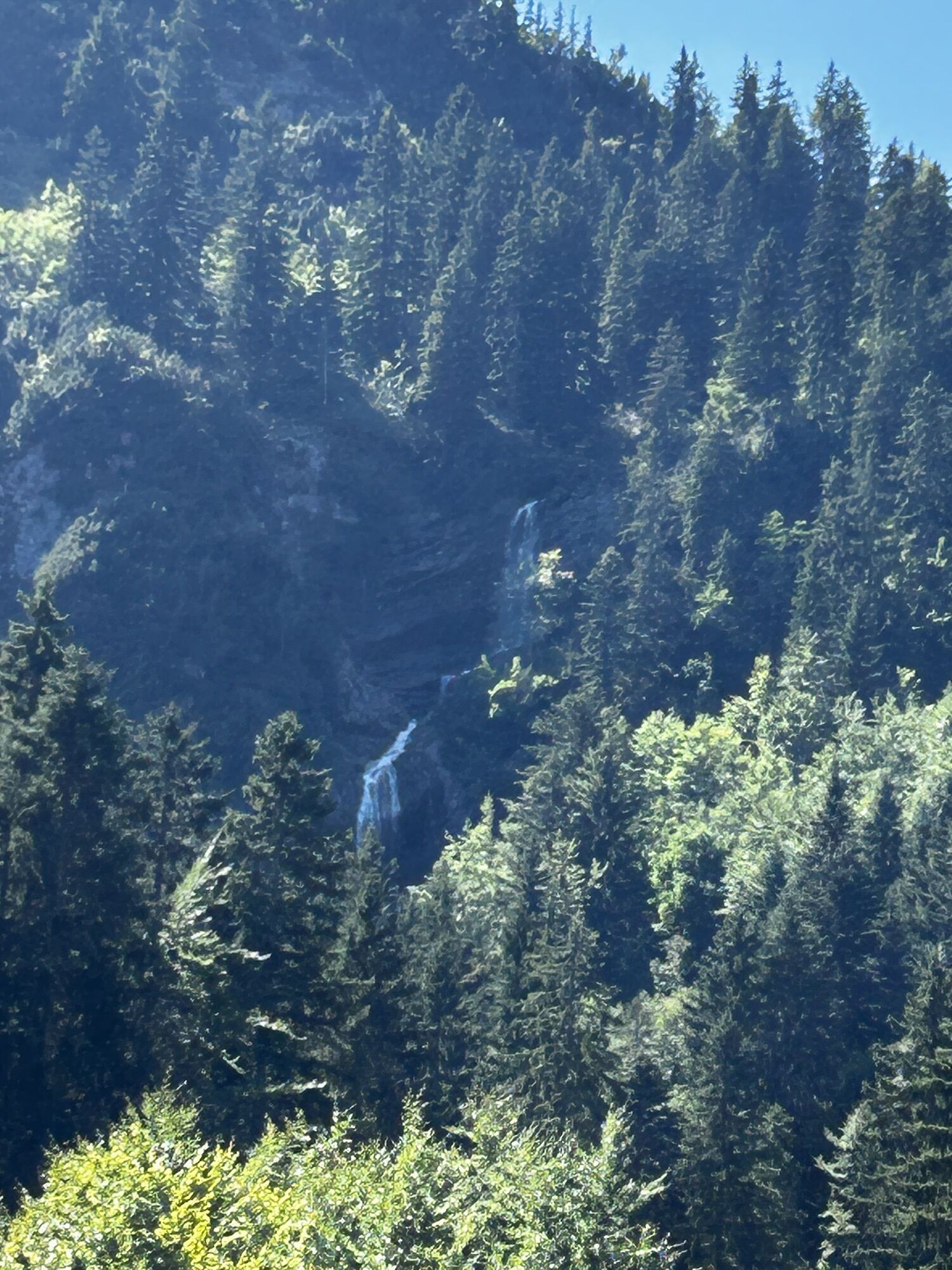
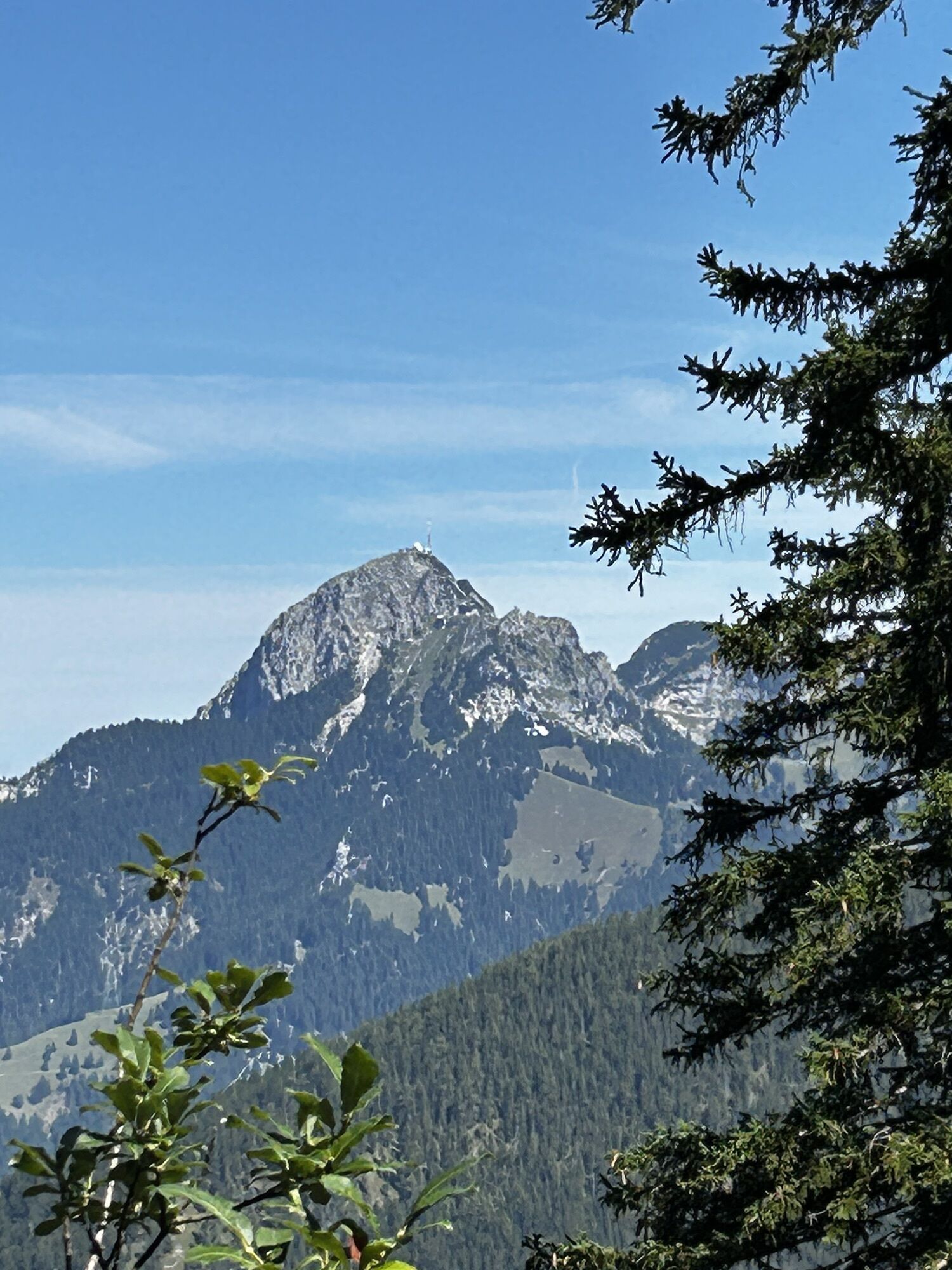
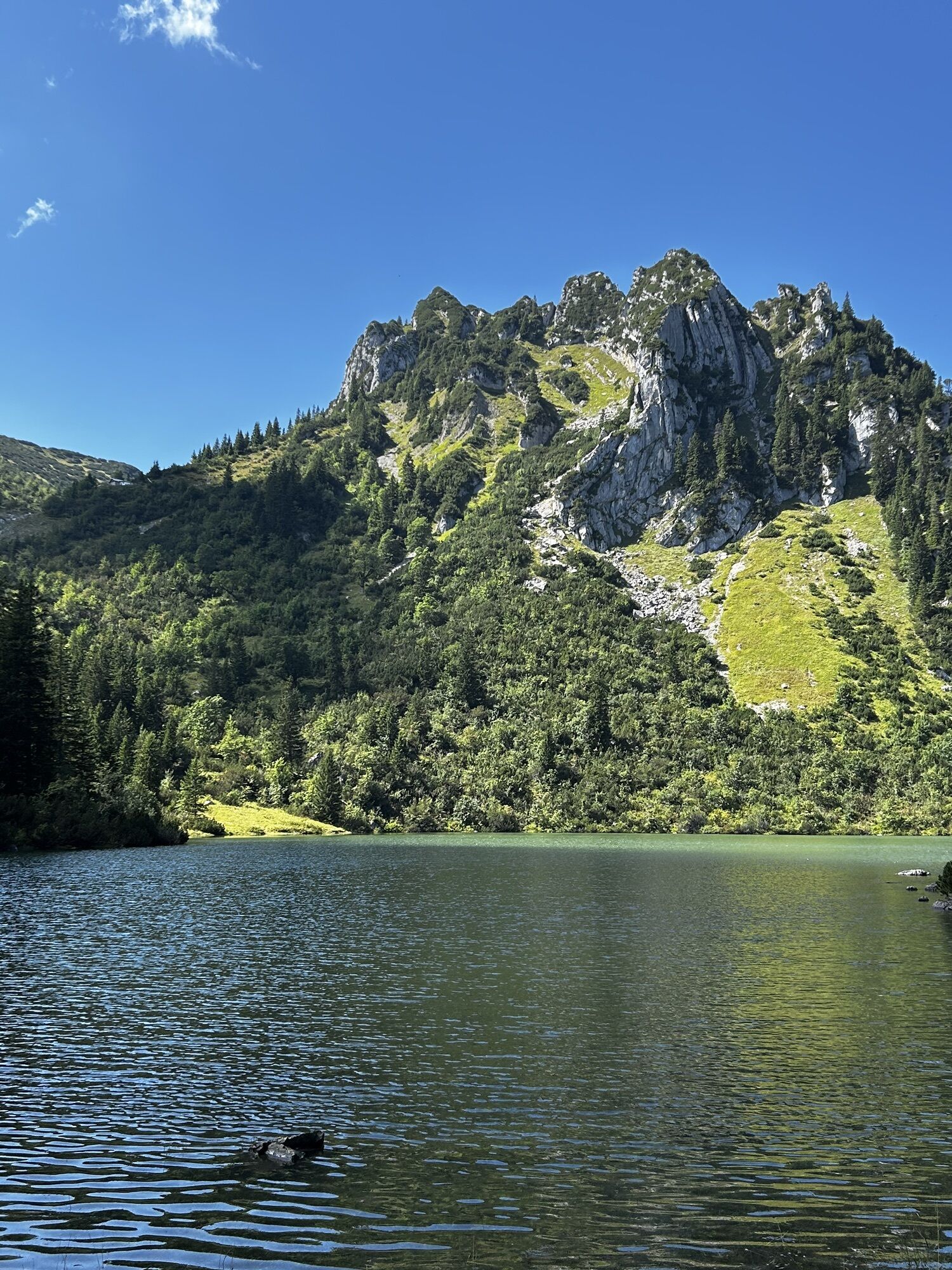
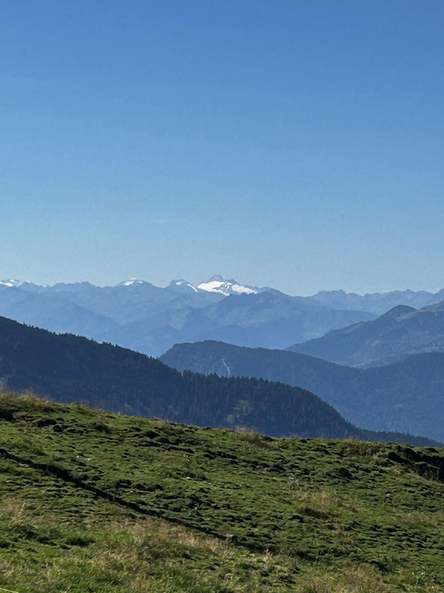
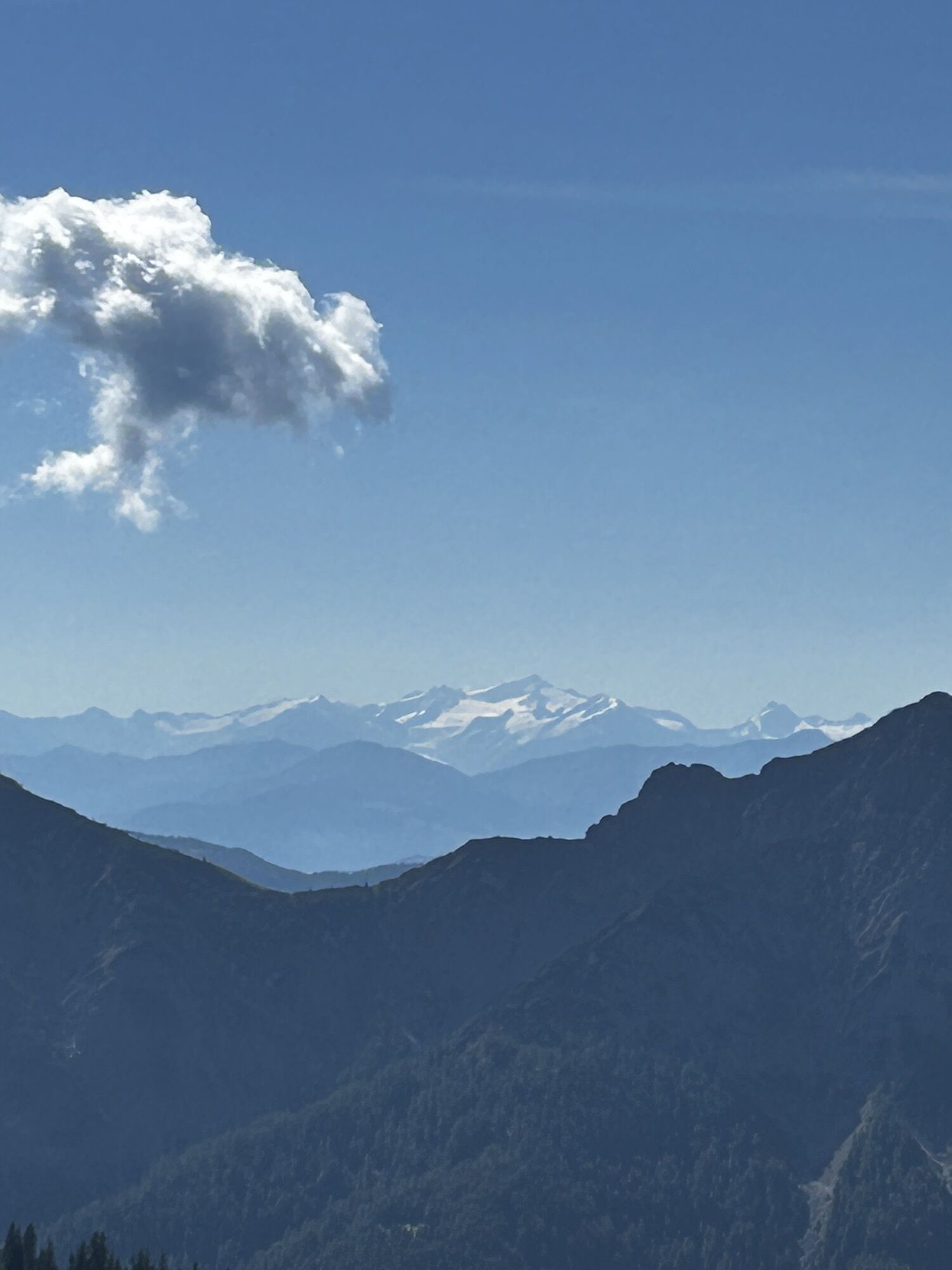
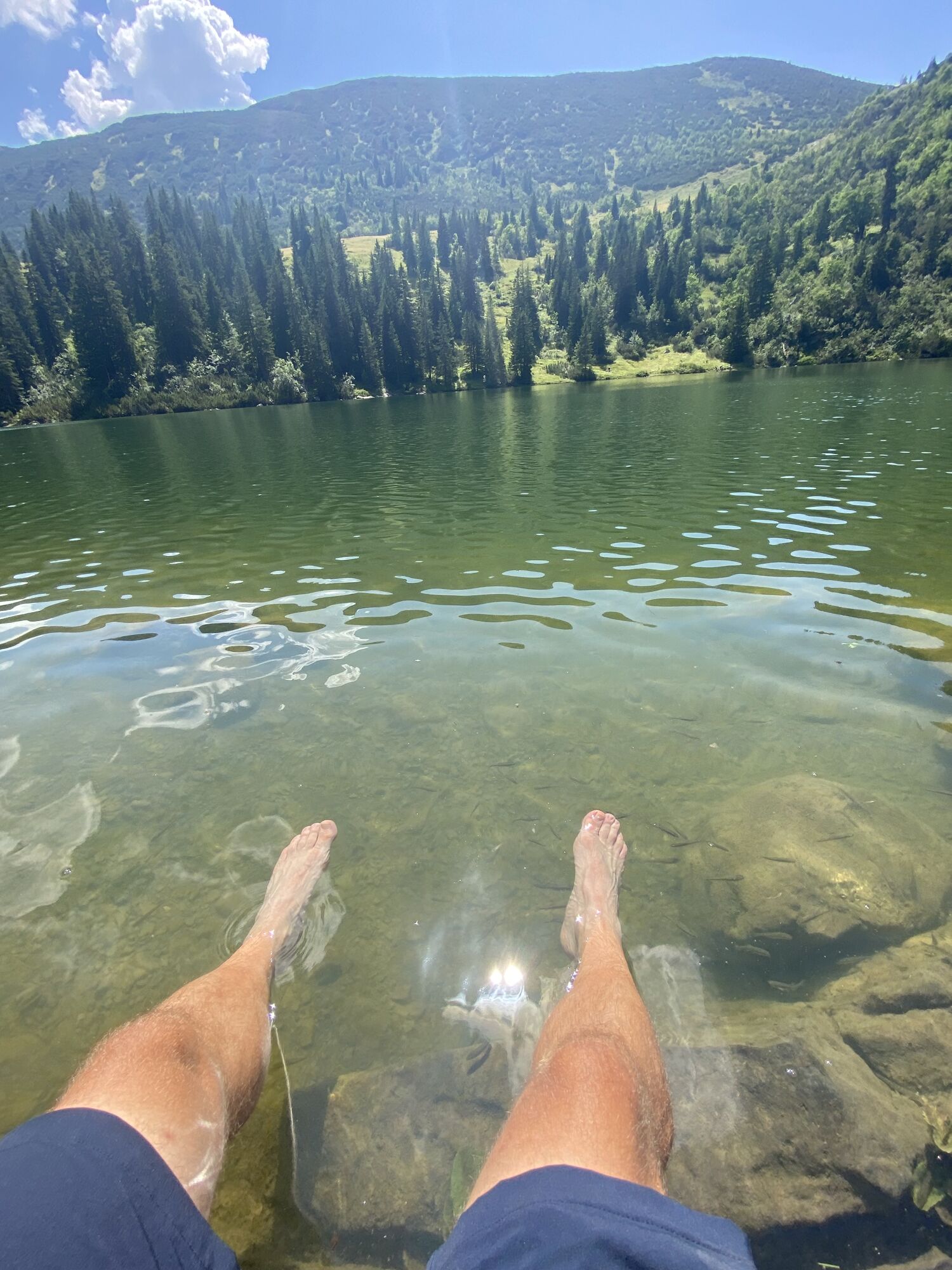
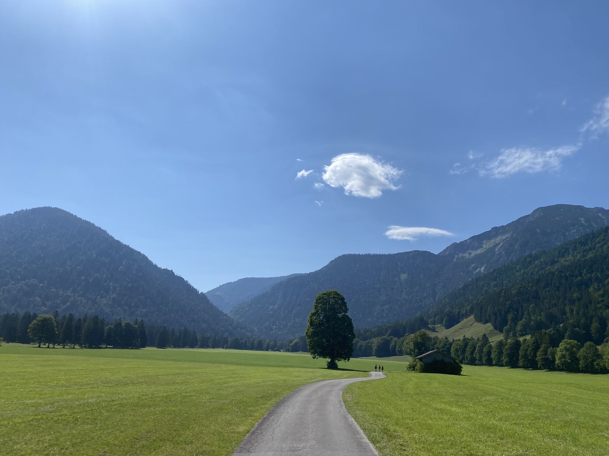
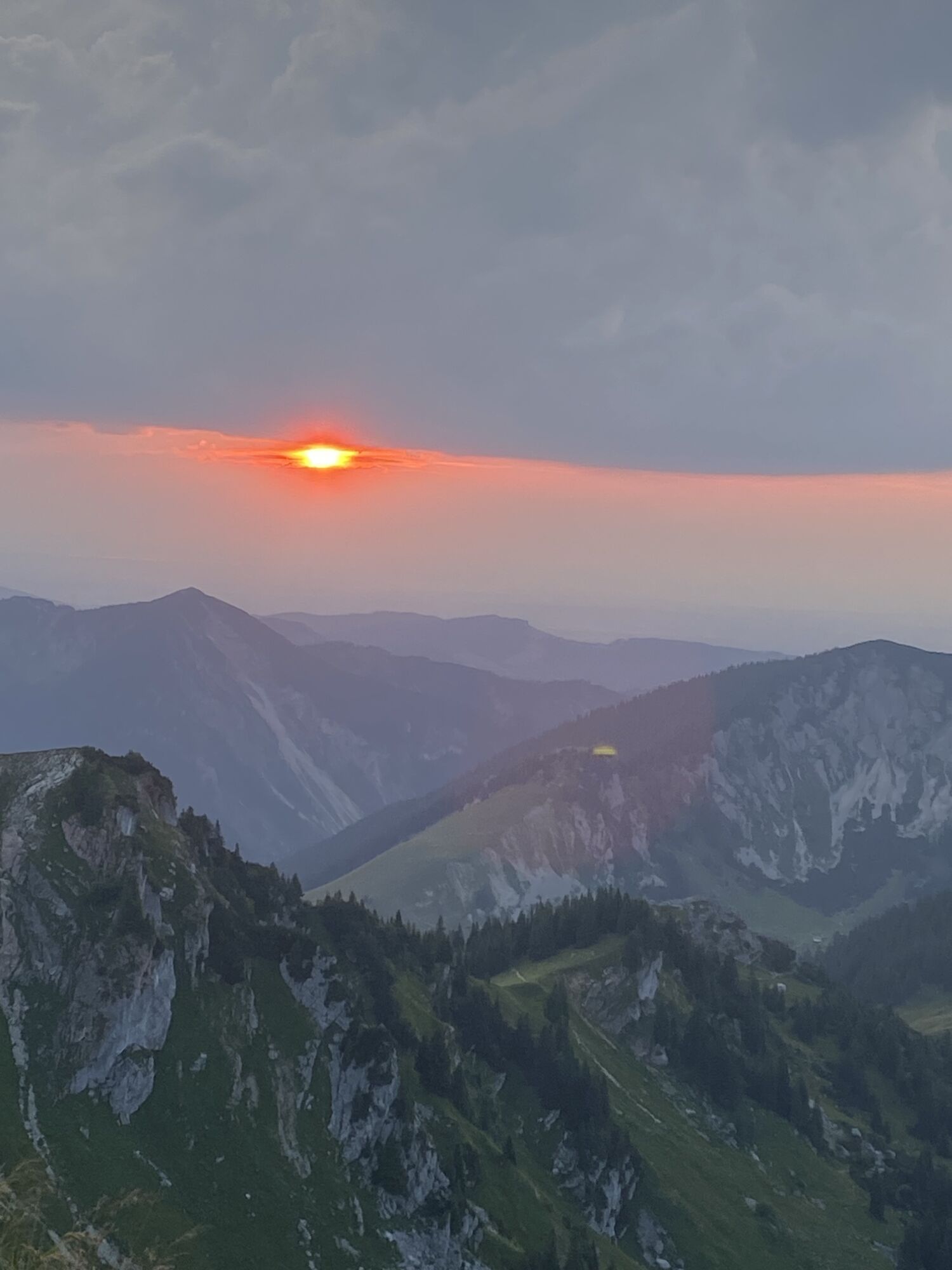
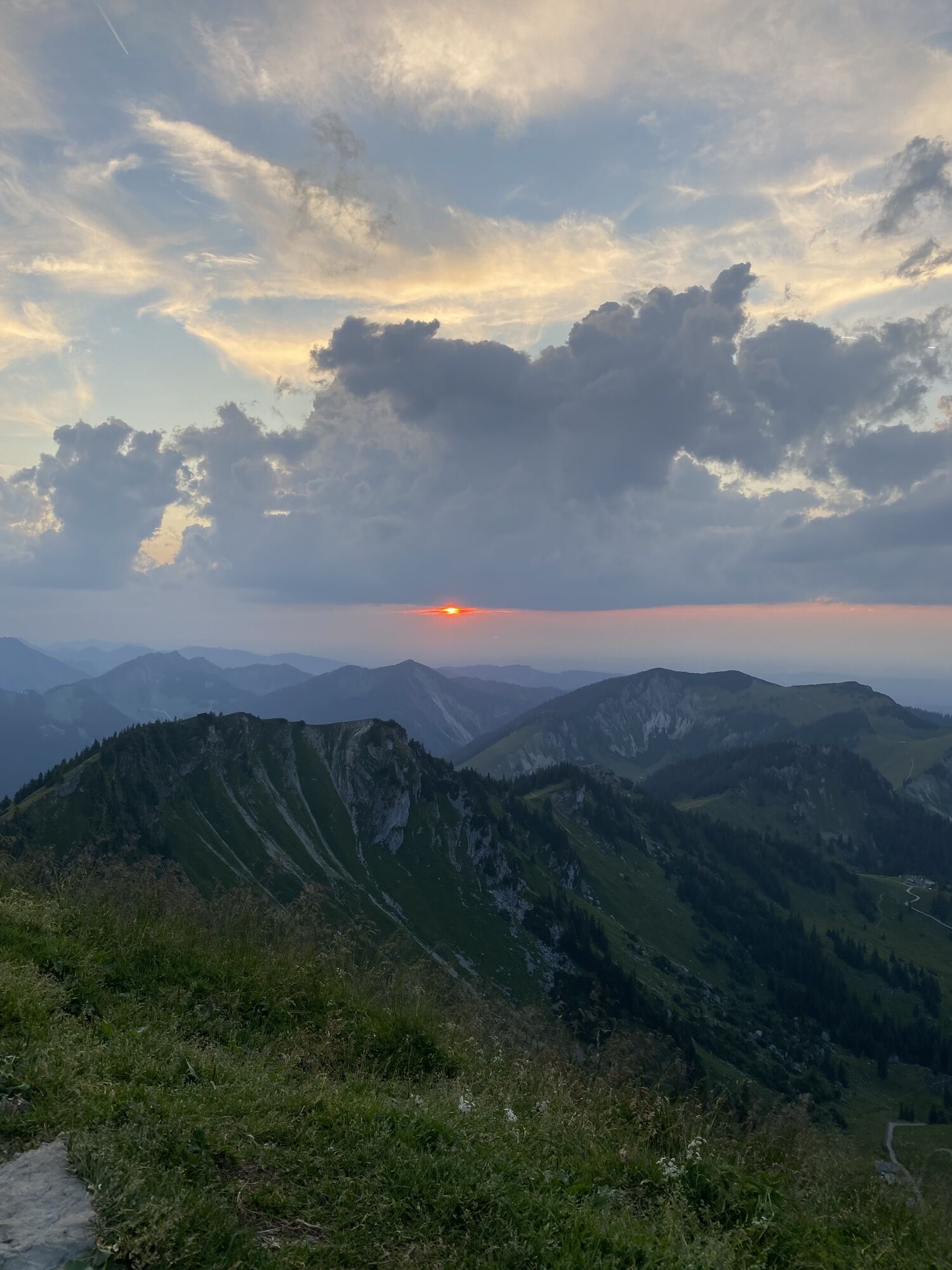
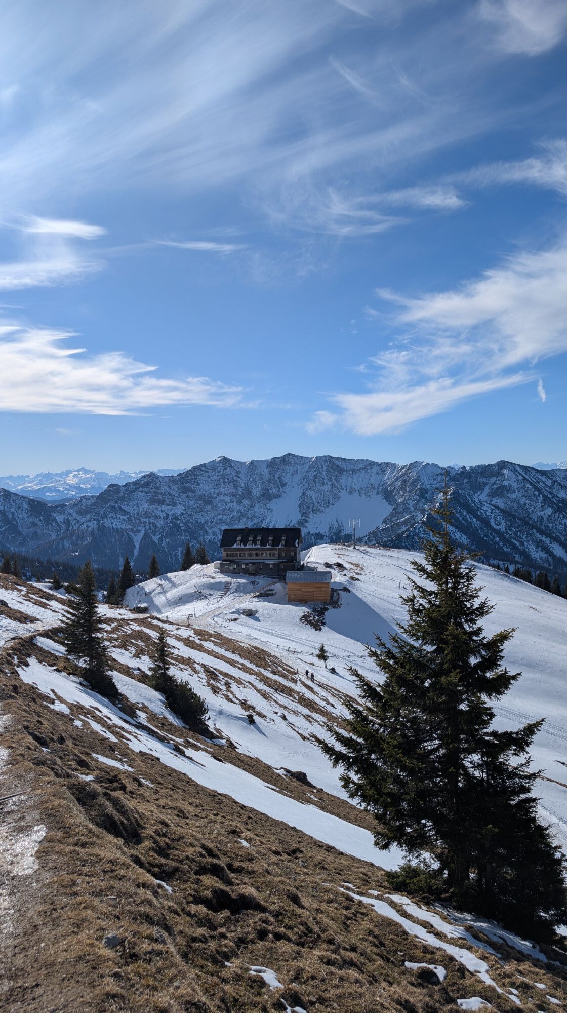
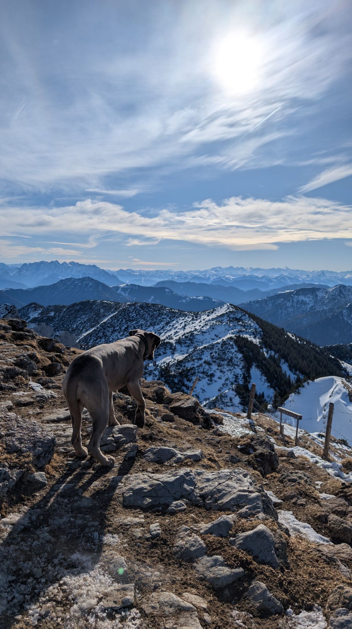
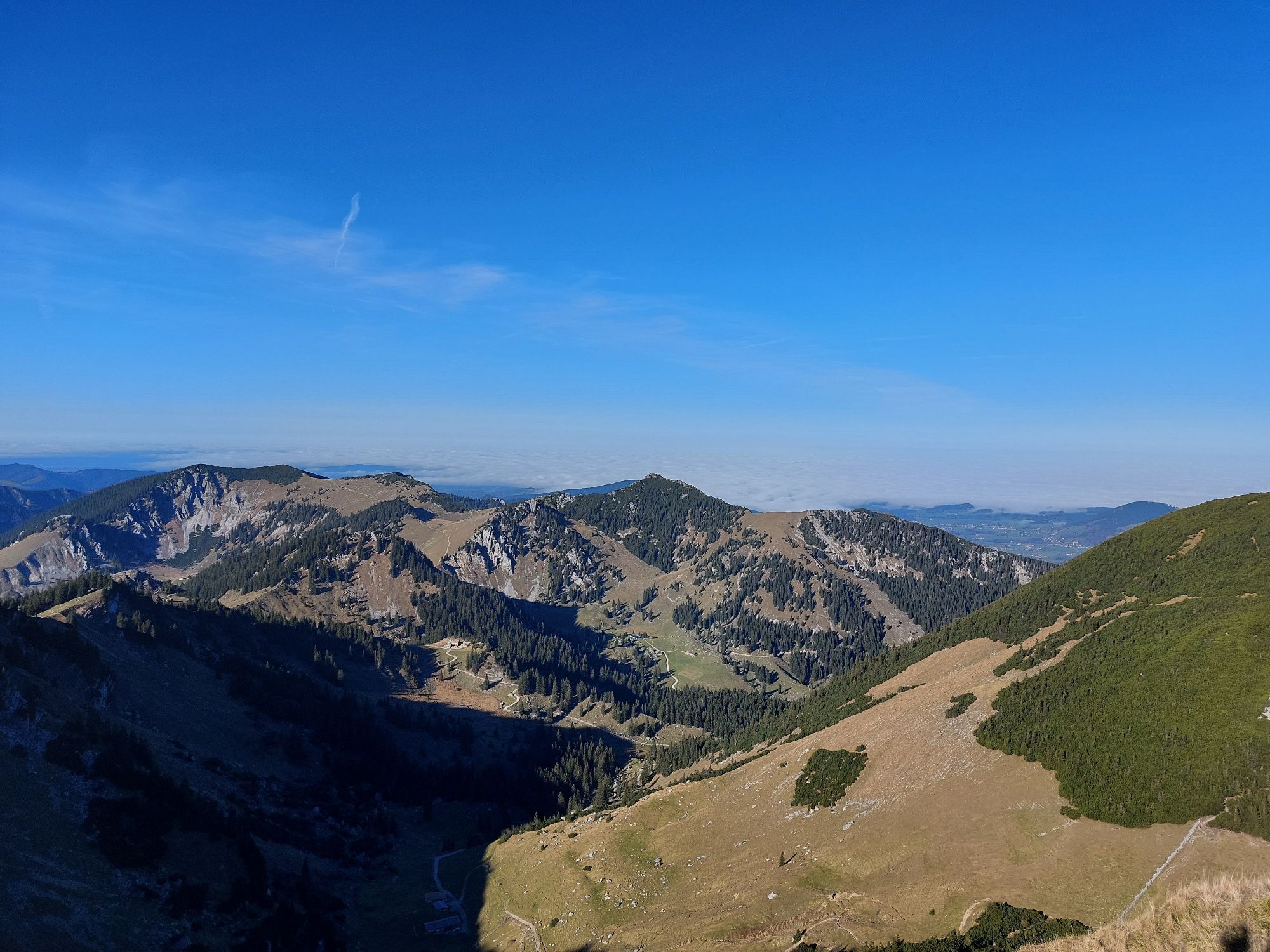
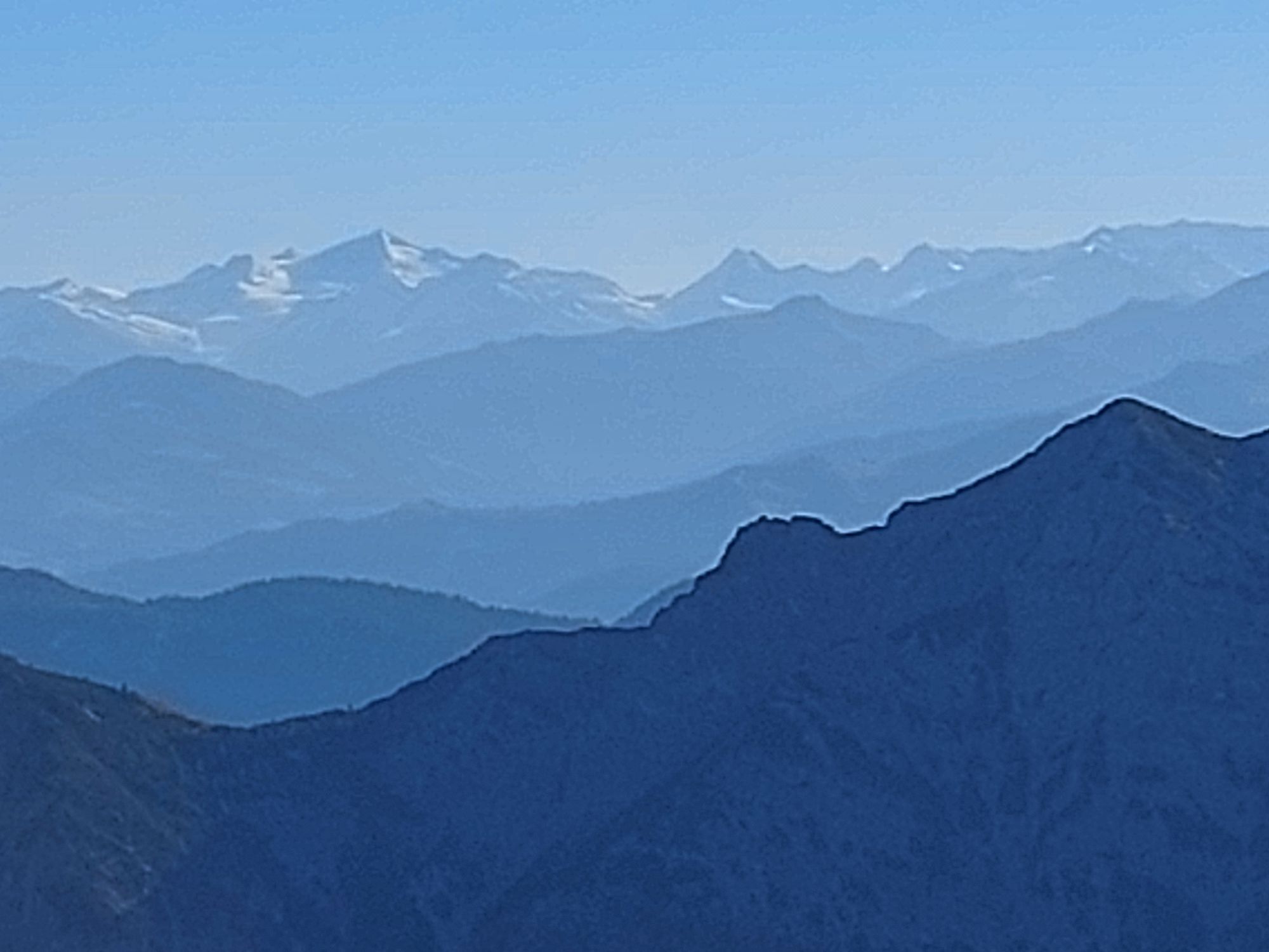
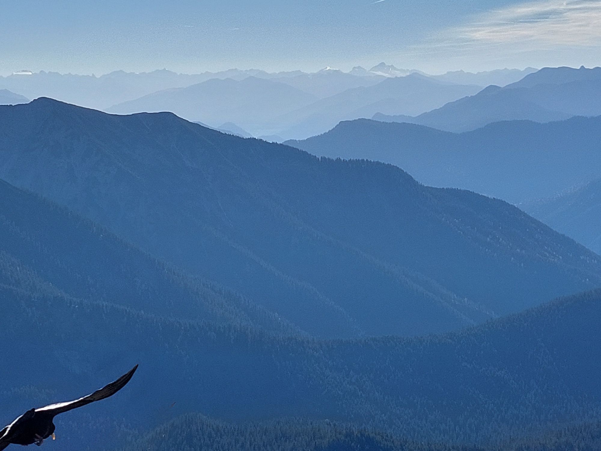
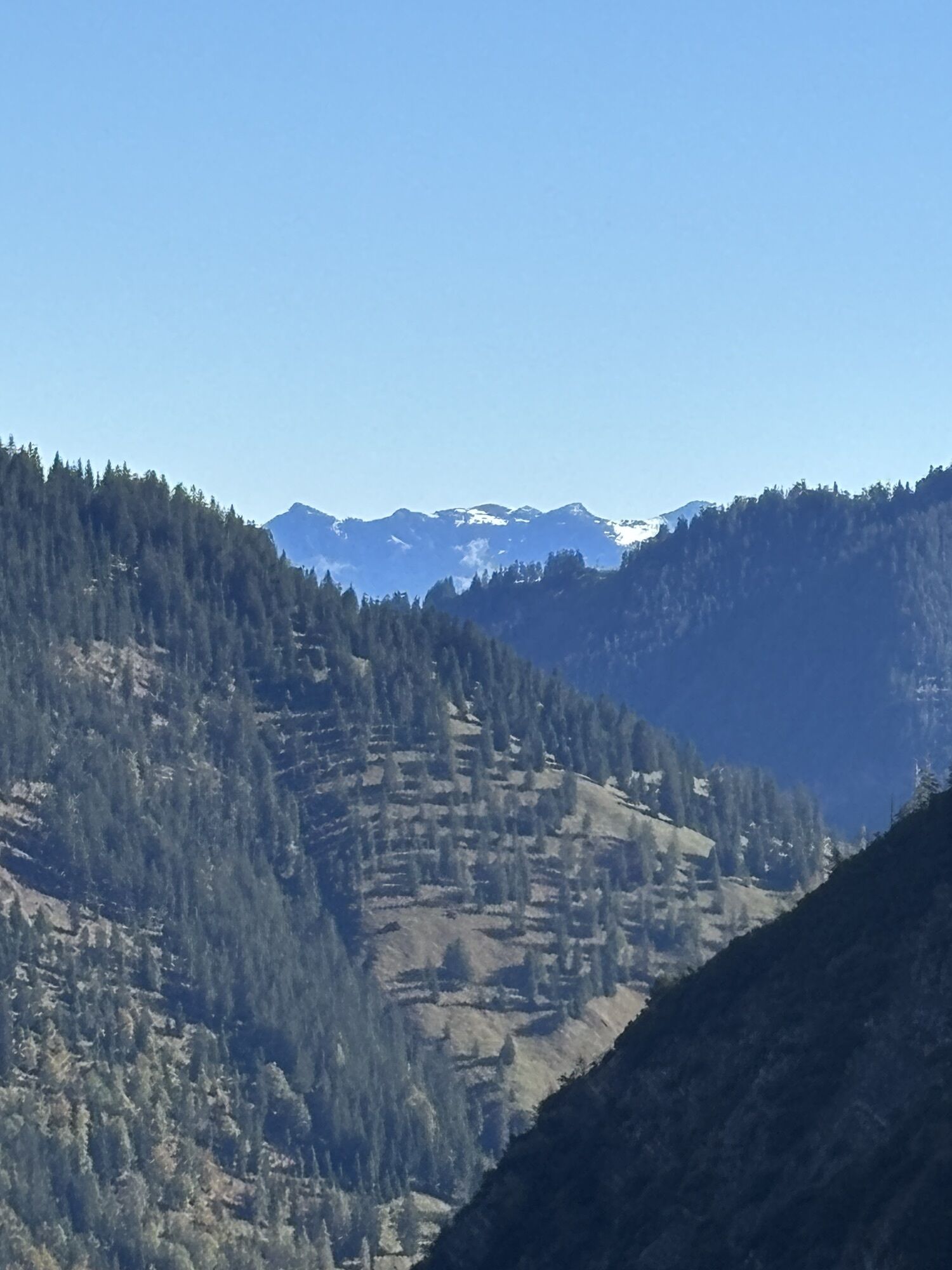
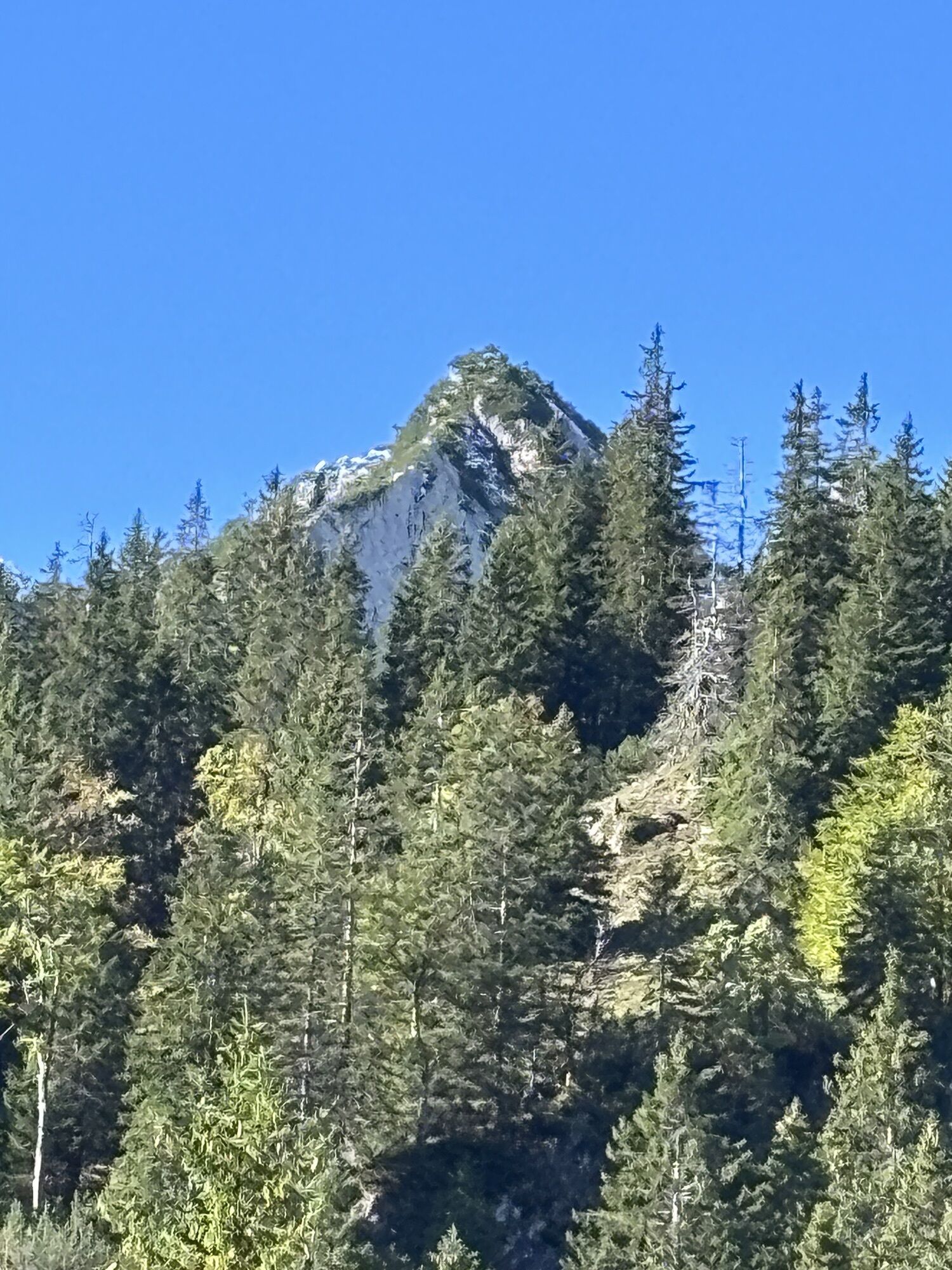
Photos from our users
-
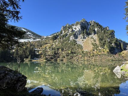
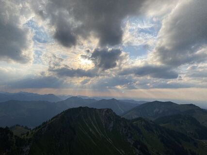
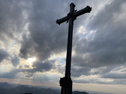
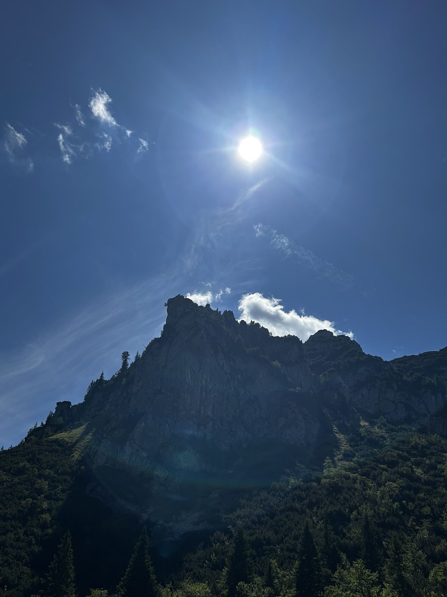
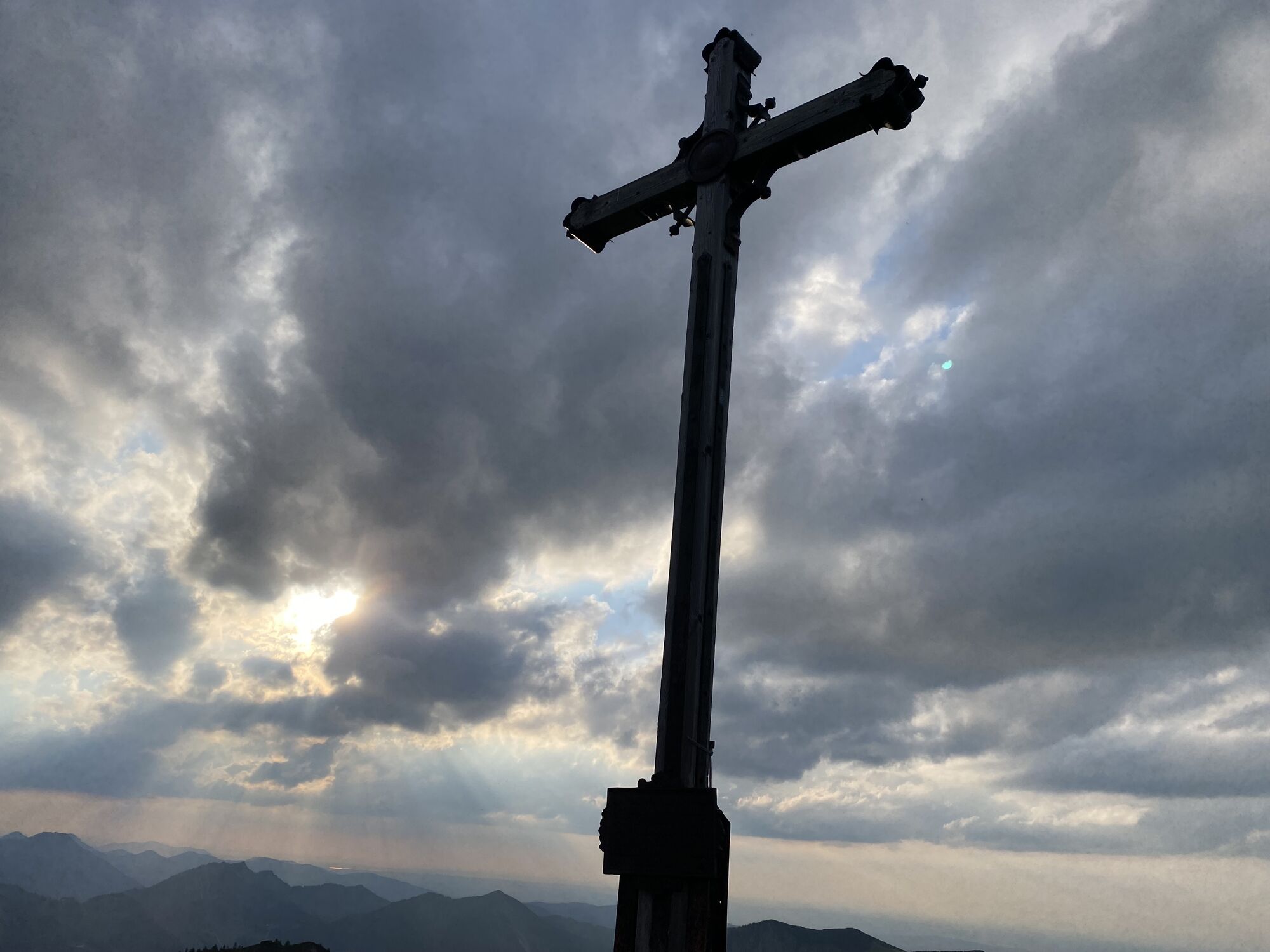
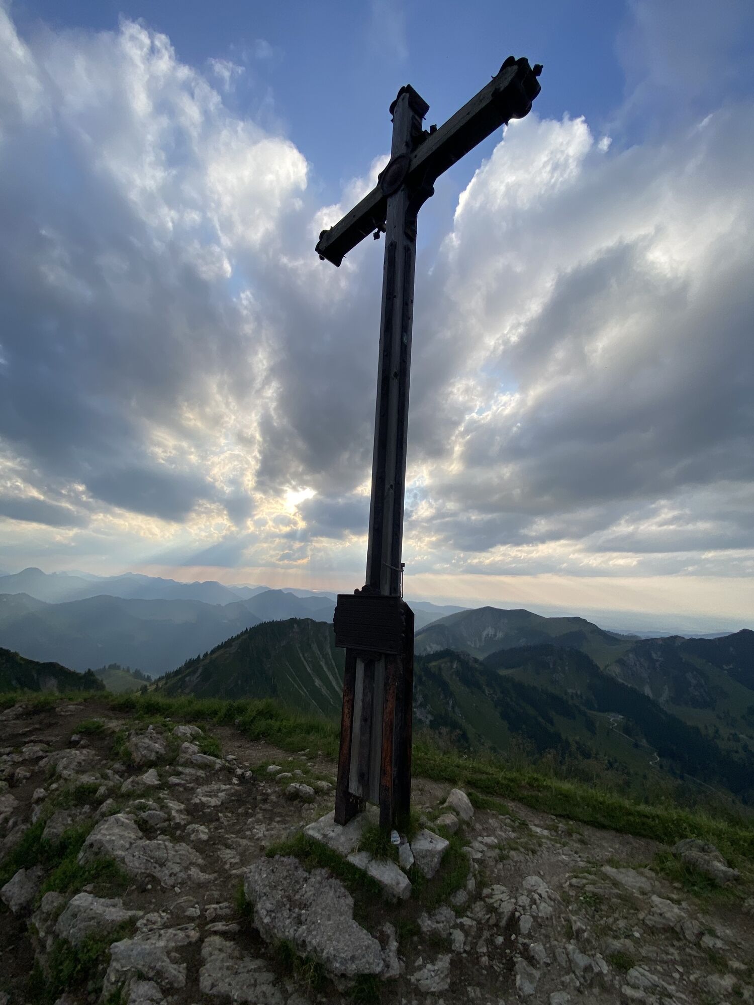
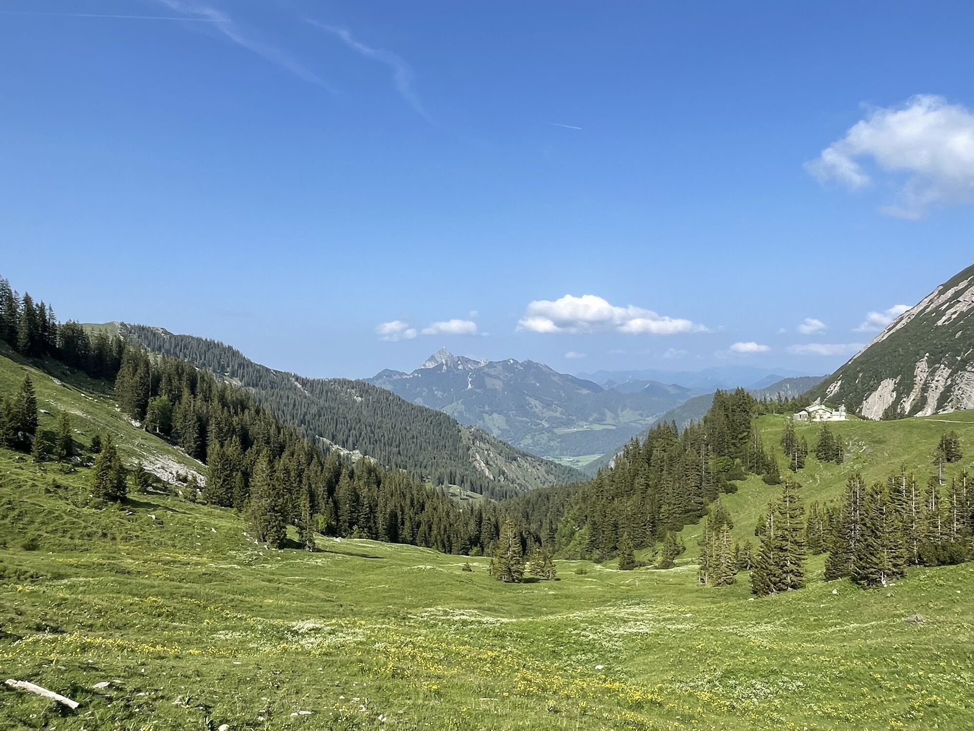
 © Katrin RupprechtCreated on 06.10.2024
 -

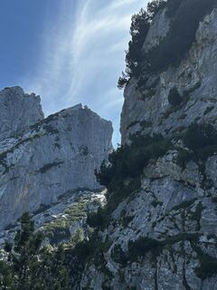
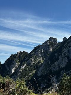
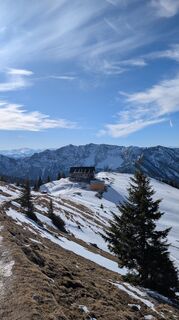
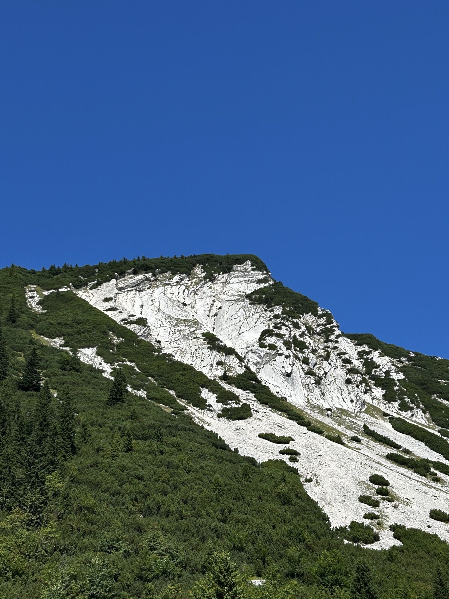
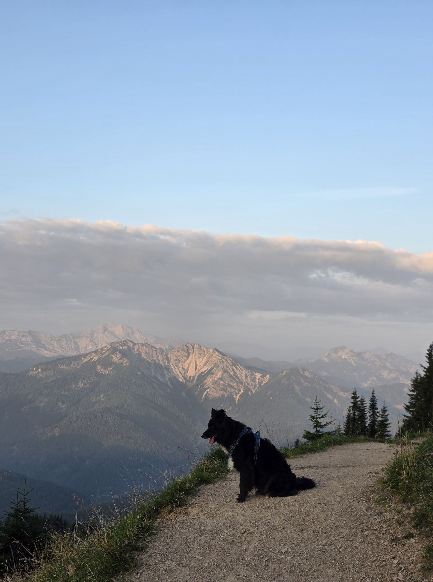
 © matthieuCreated on 18.10.2025
 -
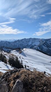
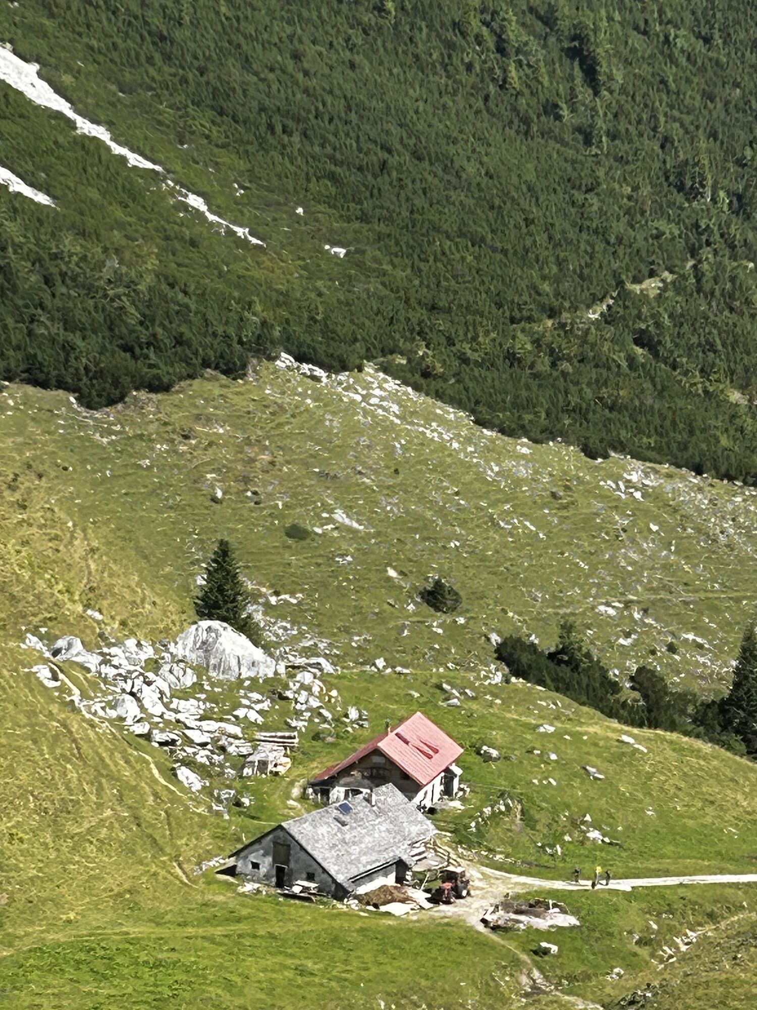
 © matthieuCreated on 18.10.2025
 -

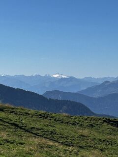
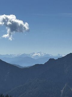
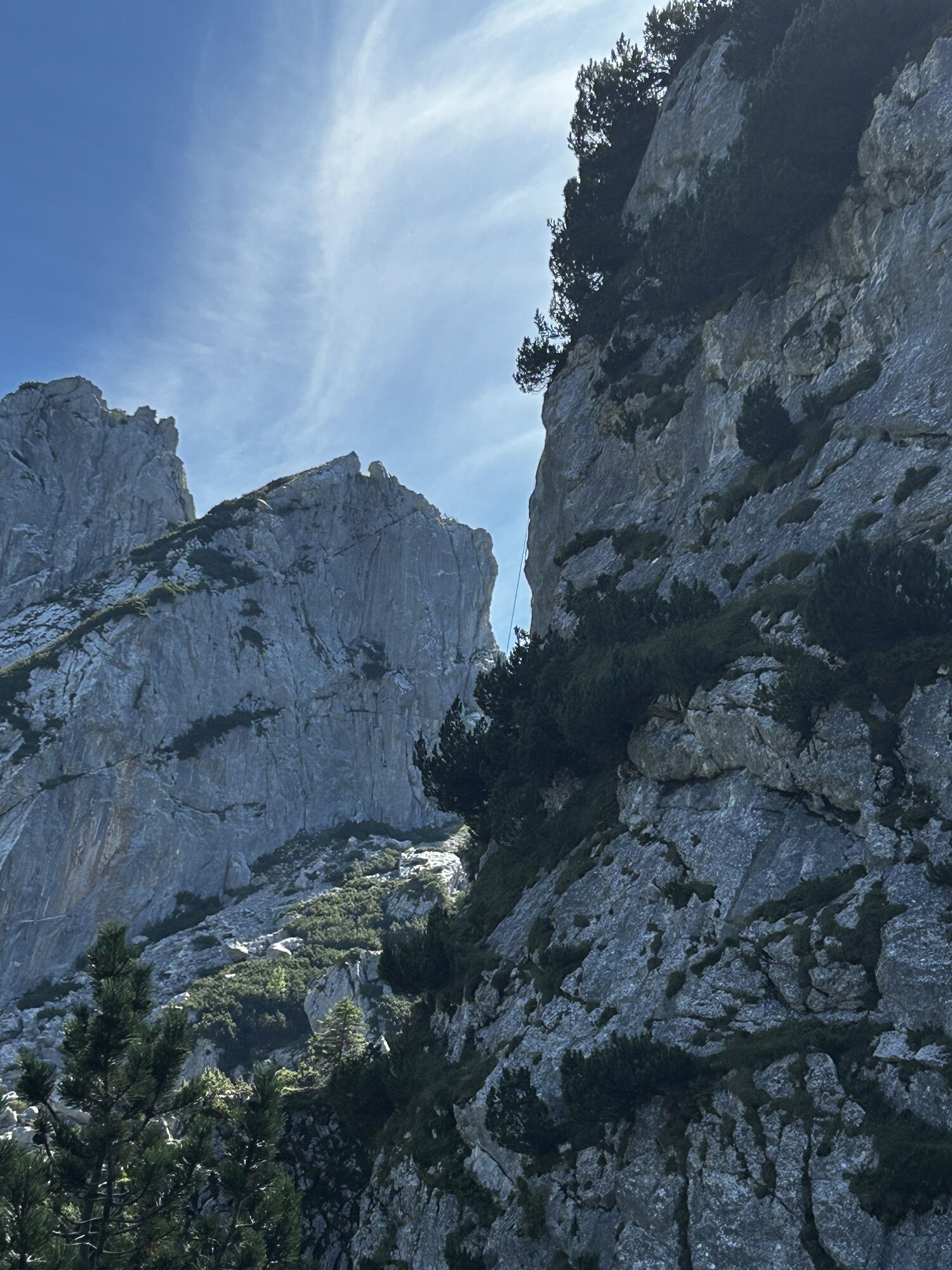
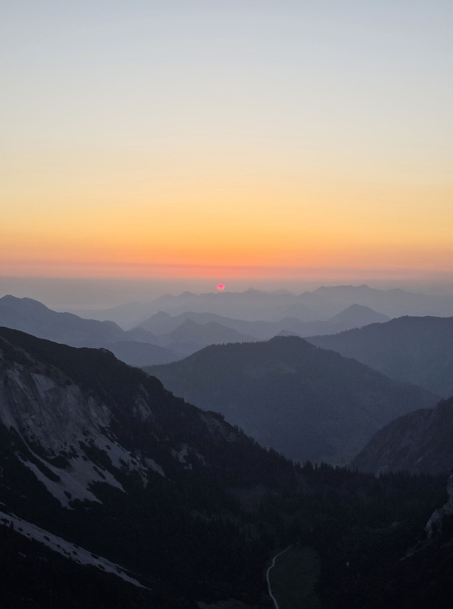
 © Supierre?️Created on 20.09.2025
 -
 © Katrin RupprechtCreated on 26.08.2025
 -
 © Katrin RupprechtCreated on 26.08.2025
 -
 © Katrin RupprechtCreated on 26.08.2025
 -
 © Katrin RupprechtCreated on 26.08.2025
 -
 © Katrin RupprechtCreated on 26.08.2025
 -
 © Katrin RupprechtCreated on 26.08.2025
 -
 © Katrin RupprechtCreated on 26.08.2025
 -
 © Katrin RupprechtCreated on 26.08.2025
 -
 © Katrin RupprechtCreated on 26.08.2025
 -
 © Katrin RupprechtCreated on 26.08.2025
 -
 © Katrin RupprechtCreated on 26.08.2025
 -
 © Katrin RupprechtCreated on 26.08.2025
 -
 © Simone SchmausCreated on 15.08.2025
 -
 © Simone SchmausCreated on 15.08.2025
 -
 © Sven KrieblinCreated on 10.08.2025
 -
 © Sven KrieblinCreated on 10.08.2025
 -
 © Sven KrieblinCreated on 10.08.2025
 -
 © Sven KrieblinCreated on 05.07.2025
 -
 © Sven KrieblinCreated on 05.07.2025
 -
 © Sven KrieblinCreated on 05.07.2025
 -
 © Sven KrieblinCreated on 05.07.2025
 -
 © Sven KrieblinCreated on 05.07.2025
 -

 © Martin Weiss 3Created on 09.06.2025
 -

 © StubiCreated on 04.03.2025
 -
 © StubiCreated on 04.03.2025
 -
 © StubiCreated on 04.03.2025
 -
 © StubiCreated on 04.03.2025
 -
 © StubiCreated on 04.03.2025
 -
 © Martin Weiss 3Created on 25.01.2025
 -
 © Mike888Created on 10.11.2024
 -
 © Mike888Created on 10.11.2024
 -
 © Mike888Created on 10.11.2024
 -
 © Mike888Created on 10.11.2024
 -
 © Mike888Created on 10.11.2024
 -
 © Mike888Created on 10.11.2024
 -
 © Mike888Created on 10.11.2024
 -
 © Mike888Created on 10.11.2024
 -
 © Mike888Created on 10.11.2024
 -
 © Katrin RupprechtCreated on 06.10.2024
 -
 © Katrin RupprechtCreated on 06.10.2024
 -
 © Katrin RupprechtCreated on 06.10.2024
 -
 © Katrin RupprechtCreated on 06.10.2024
 -
 © Katrin RupprechtCreated on 06.10.2024
 -
 © Katrin RupprechtCreated on 06.10.2024


Route
Geitau
(779 m)
Settlement
0.1 km
Ried
(773 m)
Settlement
0.2 km
Geitau
(784 m)
Settlement
1.0 km
Lochgrabensattel
(1,580 m)
Mountain saddle
7.4 km
Lempersberg
(1,817 m)
Summit
8.7 km
Rotwandkopf
(1,858 m)
Summit
9.9 km
Rotwand
(1,884 m)
Summit
10.3 km
Route
Geitau - Lempersberg - Rotwandkopf - Rotwand
heavy
Hiking
20.95
km
Geitau
(779 m)
Settlement
0.1 km
Ried
(773 m)
Settlement
0.2 km
Hasenöhrl Hof
(774 m)
Restaurant
0.6 km
Postgasthof Rote Wand
(778 m)
Restaurant
0.8 km
Gasthaus-Pension Aiplspitz
(782 m)
Restaurant
0.9 km
Geitau
(784 m)
Settlement
1.0 km
Angelalm
(1,297 m)
Refuge (unmanaged)
3.7 km
Naturfreundehaus Krottentaler Alm
(1,435 m)
Refuge (unmanaged)
5.6 km
DAV Selbstversorgerhütte Sektion Bayerland
(1,436 m)
Refuge (unmanaged)
6.1 km
Taubensteinhaus
(1,565 m)
Shelter
7.0 km
Lochgrabensattel
(1,580 m)
Mountain saddle
7.4 km
Bergstation
(1,612 m)
Gondola station
7.5 km
Berggaststätte Panoramablick
(1,613 m)
Restaurant
7.6 km
Taubenstein
(1,693 m)
Summit
7.8 km
Taubensteinsattel
(1,660 m)
Mountain saddle
7.9 km
Lempersberg
(1,817 m)
Summit
8.7 km
Kirchstein
(1,795 m)
Summit
9.4 km
Rotwandkopf
(1,858 m)
Summit
9.9 km
Rotwand
(1,884 m)
Summit
10.3 km
Rotwandhaus
(1,737 m)
Shelter
11.0 km
Kümpflscharte
(1,695 m)
Mountain saddle
11.3 km
Schellenberg-Alm
(1,347 m)
Restaurant
14.2 km
Geitau
(784 m)
Settlement
19.8 km
Gasthaus-Pension Aiplspitz
(782 m)
Restaurant
20.0 km
Postgasthof Rote Wand
(778 m)
Restaurant
20.1 km
Hasenöhrl Hof
(774 m)
Restaurant
20.3 km
Ried
(773 m)
Settlement
20.7 km
Geitau
(779 m)
Settlement
20.9 km
Valuations
1 Comment
Felix Facchini
18. May. 2025
Schöne Tagestour
Abwechslungsreich, mit ein paar guten Hütten unterwegs (Rotwandhaus hat in 05/25 grad zu wg. Problemen mit dem Betreiber!).
Vom Geländer her eher eine „rote“ Tour, die letzten Kilometer sind „Auslaufstrecke“, relativ viel Forstweg und am Flugplatzgelände entlang einer wenig befahrenen Straße.
Webcams of the tour
-
Bergstation Taubensteinbahn
-
Talstation Stümpflingbahn
-
Jagahütt´n
-
Stümpflingabfahrt
-
Obere Maxlraineralm
-
Taubensteinbahn - Bergstation
-
Wendelsteinbahn Bergstation Gacher
-
Wendelsteinbahn Bergstation Gacher
-
Kitzlahner 4er Sessellift Berg
-
Spitzingsee
-
Wendelstein - Bayrischzell
-
Kitzlahner 4er Sessellift Berg
-
Spitzingsee
-
Wendelstein - Bayrischzell
-
Wendelstein - Bayrischzell
-
Wendelstein - Bayrischzell
-
Wendelstein - Bayrischzell
-
Loipenzentrum Stocker
-
Lyralift
-
Talstation Rosskopf
-
Spitzingsee - Obere Maxlraineralm
-
Sutten Bergstation
-
Bergstation Stümpflingbahn
Popular tours in the neighbourhood
-
4.8
Breitenstein
mediumHiking 9.13 km -
4.0
Von der Kistenwinterstube zum Risserkogel
mediumHiking 10.4 km -
4.0
Jägerkamp und Benzingspitze
mediumHiking 8 km -
4.7
Wendelstein
mediumHiking 11.2 km -
5.0
Durch den Pfanngraben auf die Rotwand
mediumHiking 18.4 km -
4.8
Brecherspitze
mediumHiking 14.5 km -
4.5
Brecherspitz-Runde auf dem Normalweg Schliersee, Bayern
mediumHiking 11.3 km -
4.0
Seeberg
mediumHiking 14.5 km -
4.2
Alpbach valley and Neureuth
mediumHiking 12.9 km -
4.6
Wildalpjoch und Käserwand
mediumHiking 7.16 km
Hiking & Tracking

Over 550.000 tour suggestions, detailed maps and an intuitive route planner make the app a must-have for all nature enthusiasts.

Don't miss out on offers and inspiration for your next holiday
Subscribe to the newsletter
Error
An error has occurred. Please try again.
Thank you for your registration
Your e-mail address has been added to the mailing list.
Tours throughout Europe
Austria
Switzerland
Germany
Italy
Slovenia
France
Netherlands
Belgium
Poland
Liechtenstein
Czechia
Slovakia
Spain
Croatia
Bosnia and Herzegovina
Luxembourg
Andorra
Portugal
Iceland
United Kingdom
Ireland
Greece
Albania
North Macedonia
Malta
Norway
Montenegro
Moldova
Kosovo
Hungary
San Marino
Romania
Estonia
Latvia
Belarus
Cyprus
Lithuania
Serbia
Bulgaria
Monaco
Denmark
Sweden
Finland