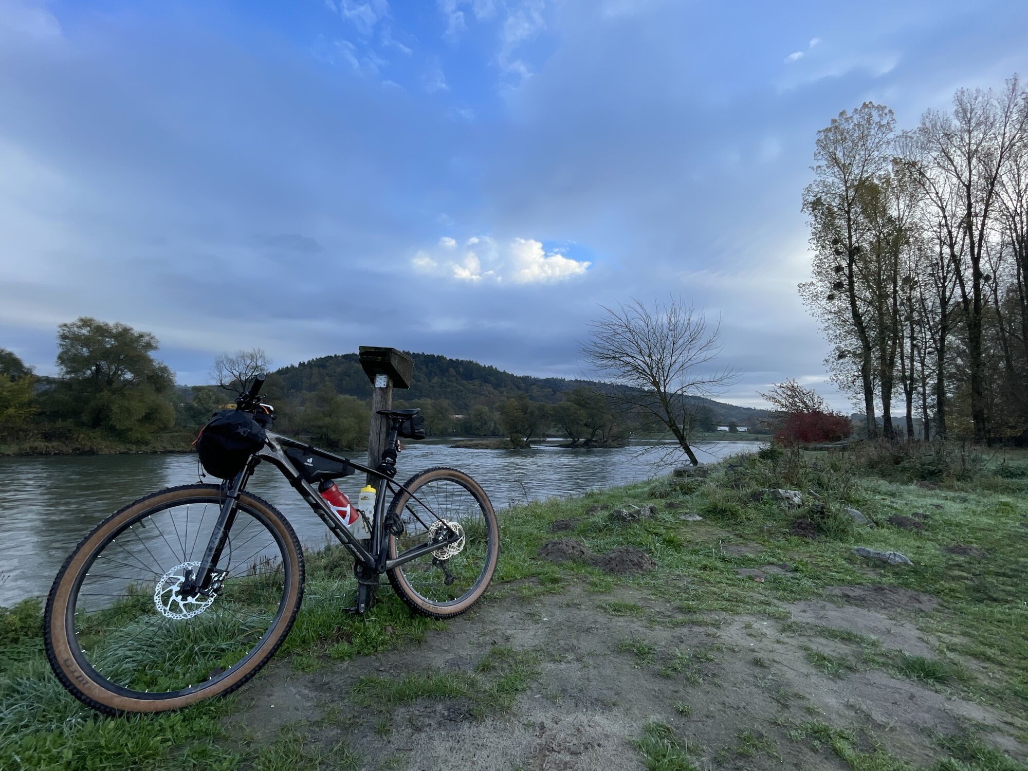
Winsing - Vierzehn-Heilige-Nothelfer - Mariä Himmelfahrt - Frauenberg
medium
Navigate
Navigate
Get this tour on your mobile
Winsing - Vierzehn-Heilige-Nothelfer - Mariä Himmelfahrt - Frauenberg
medium
Racing
58,04
km
Scan the QR code and start navigation in the bergfex app

Hiking & Tracking


Distance
58,04
km
Duration
03:06
h
Ascent
706
m
Sea level
309 -
549
m
Track download
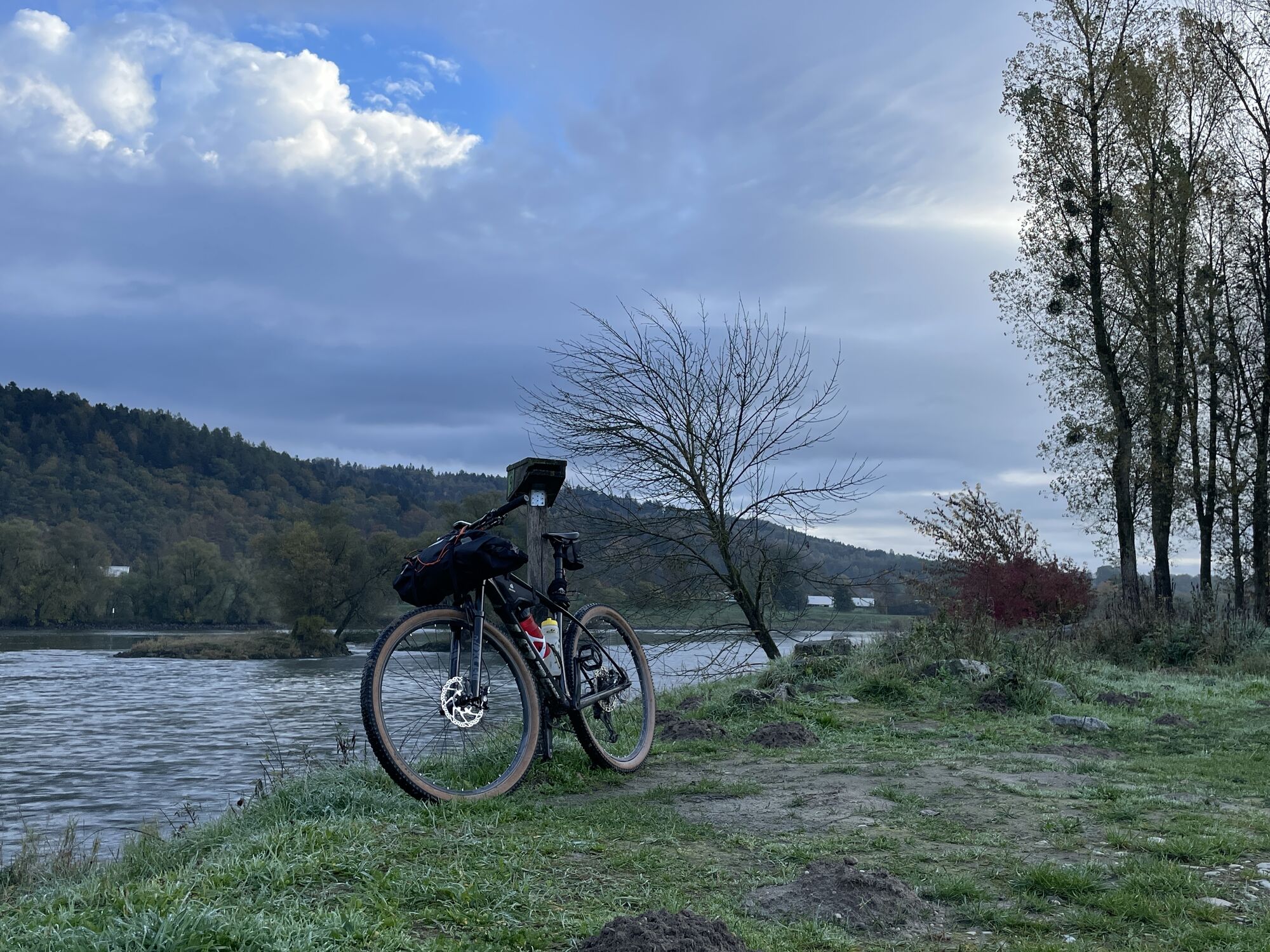
Winsing - Vierzehn-Heilige-Nothelfer - Mariä Himmelfahrt - Frauenberg
medium
Racing
58,04
km


Route
St. Ägidus
(476 m)
Place of worship
2,9 km
Vierzehn-Heilige-Nothelfer
(443 m)
Place of worship
13,7 km
Hainstetten
(542 m)
Village
16,3 km
Mariä Himmelfahrt
(320 m)
Place of worship
27,2 km
Christus Centrum Ostbayern e.V.
(312 m)
Place of worship
27,3 km
Frauenberg
(337 m)
Summit
39,5 km
Waltersdorf
(360 m)
Settlement
43,3 km
Route
Winsing - Vierzehn-Heilige-Nothelfer - Mariä Himmelfahrt - Frauenberg
medium
Racing
58,04
km
Winsing
(448 m)
Settlement
0,1 km
Renzling
(429 m)
Settlement
0,8 km
Falkenacker
(512 m)
Settlement
2,3 km
Grattersdorf
(476 m)
Village
2,9 km
St. Ägidus
(476 m)
Place of worship
2,9 km
Gasthaus Lohner
(473 m)
Restaurant
2,9 km
Büchelsteiner Hof
(473 m)
Restaurant
3,0 km
Lanzing
(460 m)
Settlement
3,7 km
Furthmühle
(412 m)
Settlement
5,8 km
Euschertsfurth
(437 m)
Village
6,6 km
Lalling
(432 m)
Village
7,9 km
Stritzling
(438 m)
Village
10,5 km
Wulreiching
(406 m)
Village
12,4 km
Schaufling
(445 m)
Village
13,5 km
Vierzehn-Heilige-Nothelfer
(443 m)
Place of worship
13,7 km
Edhof
(447 m)
Settlement
14,2 km
Hainstetten
(542 m)
Village
16,3 km
Nemering
(572 m)
Village
17,5 km
Dietmannsberg
(554 m)
Settlement
18,3 km
Klessing
(554 m)
Settlement
19,0 km
Haslach
(511 m)
Settlement
19,6 km
Großfilling
(437 m)
Village
20,4 km
Kleinfilling
(397 m)
Village
20,8 km
Scheuering
(443 m)
Neighbourhood
21,2 km
Schleiberg
(407 m)
Settlement
21,6 km
Altstadtviertel
(316 m)
Neighbourhood
26,1 km
Kulturviertel
(314 m)
Neighbourhood
26,7 km
Deggendorf
(314 m)
City
26,8 km
Heilig-Grab-Kirche Sankt Peter und Paul
(314 m)
Place of worship
26,8 km
Spitalkirche St. Katharina
(313 m)
Place of worship
27,1 km
Kriegergedächtniskirche
(314 m)
Place of worship
27,1 km
Mariä Himmelfahrt
(320 m)
Place of worship
27,2 km
Christus Centrum Ostbayern e.V.
(312 m)
Place of worship
27,3 km
Findlstein
(317 m)
Corridor/terrain
27,6 km
Weinberg
(322 m)
Settlement
28,1 km
Deggenau
(316 m)
Neighbourhood
29,4 km
Oberdorf
(314 m)
Village
32,2 km
Prof- Dr. C.M. Müller Ufer
(310 m)
Corridor/terrain
35,3 km
Niederalteich
(310 m)
Village
36,8 km
Leonhardikapelle
(309 m)
Place of worship
37,4 km
Altenufer
(308 m)
Village
38,4 km
Frauenbergkirche
(334 m)
Place of worship
39,4 km
Frauenberg
(337 m)
Summit
39,5 km
Hengersberg
(312 m)
Village
39,7 km
Mimming
(349 m)
Village
42,1 km
Fronhofen
(346 m)
Settlement
42,9 km
Waltersdorf
(360 m)
Settlement
43,3 km
Schwanenkirchen
(375 m)
Village
45,2 km
Holling
(374 m)
Settlement
47,6 km
Iggensbach
(368 m)
Village
48,8 km
Schöllnach
(369 m)
Village
53,0 km
Englfing
(385 m)
Settlement
55,2 km
Winsing
(448 m)
Settlement
58,0 km
No reviews yet
Popular tours in the neighbourhood
- 3,2
Lallinger Steinbruchsteig
lightThematic route5,94 km - 2,0
Hochwaldweg - Lallinger Winkel
mediumHiking13,7 km - 4,0
Teufelstisch - Geißkof - Einödriegel
mediumHiking13,1 km - 4,0
Goldsteig-Alternativrunde Schaufling
heavyHiking18,0 km Habischrieder Tour - Nr. 23
lightMountainbike9 kmTour near Schaufling
lightHiking19,4 kmBreitenauriegel über Saulochschlucht
mediumMountain hiking16,9 kmGrattersdorf - Büchelstein - Brotjacklriegel - Kerschbaum - Rastbuche
mediumHiking14 kmBrotjacklriegel - Start in Hunding
mediumHiking12 kmSchöfweg
mediumHiking11,4 km

Hiking & Tracking

Over 550.000 tour suggestions, detailed maps and an intuitive route planner make the app a must-have for all nature enthusiasts.

Don't miss out on offers and inspiration for your next holiday
Subscribe to the newsletter
Error
An error has occurred. Please try again.Thank you for your registration
Your e-mail address has been added to the mailing list.
Tours throughout Europe
Austria Switzerland Germany Italy Slovenia France Netherlands Belgium Poland Liechtenstein Czechia Slovakia Spain Croatia Bosnia and Herzegovina Luxembourg Andorra Portugal Iceland United Kingdom Ireland Greece Albania North Macedonia Malta Norway Montenegro Moldova Kosovo Hungary San Marino Romania Estonia Latvia Belarus Cyprus Lithuania Serbia Bulgaria Monaco Denmark Sweden Finland