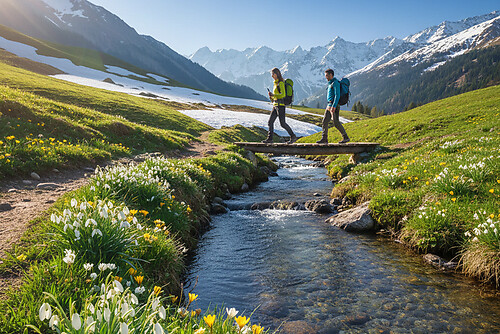
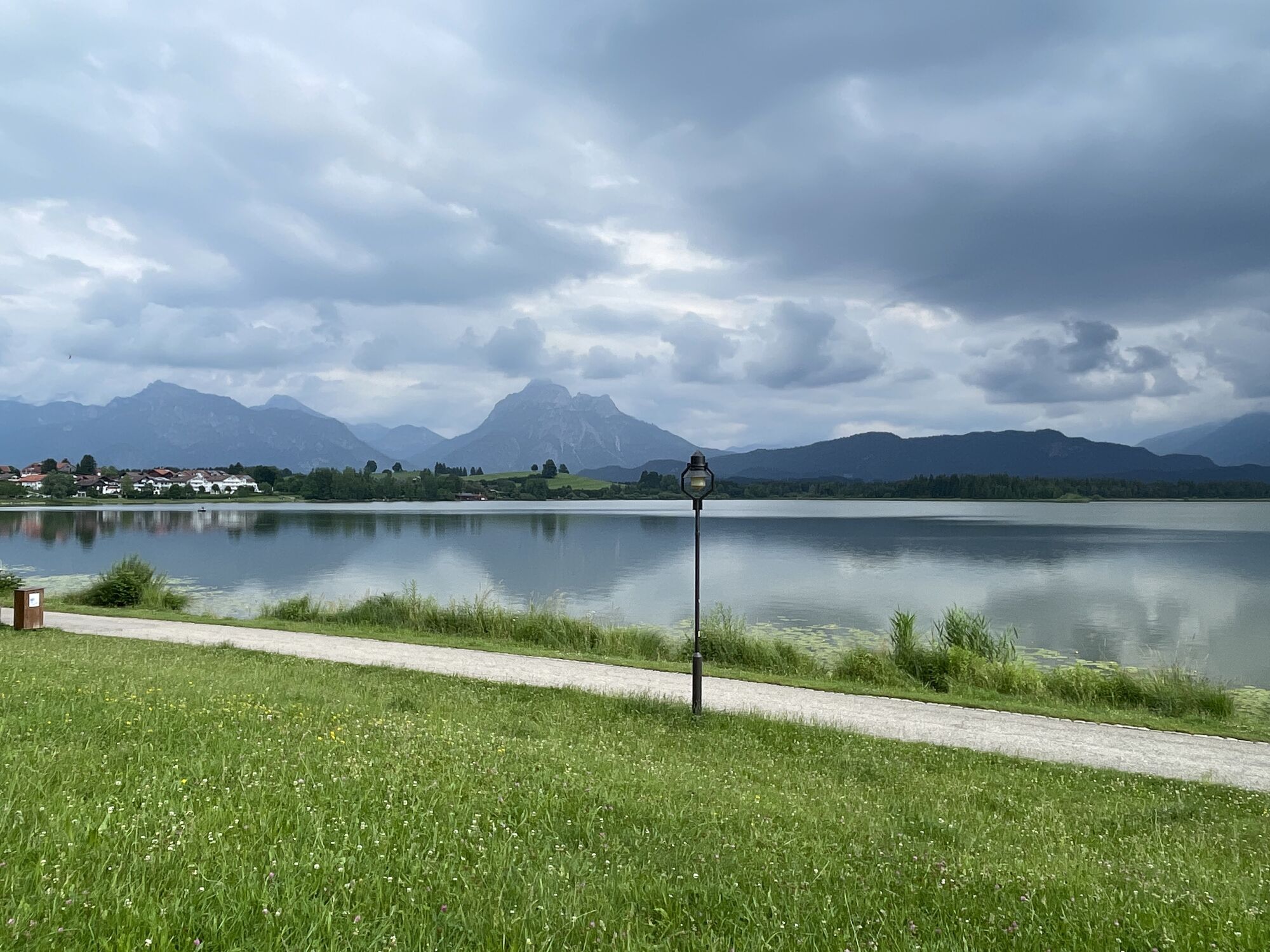
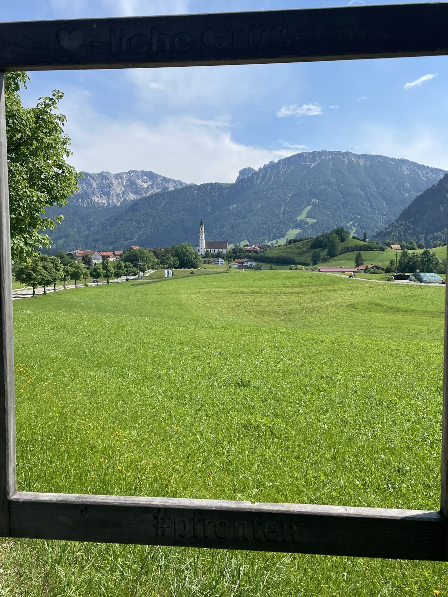
Pfronten - Mariahilfkirche - St. Martin - St. Peter und Paul
heavy
Navigate
Navigate
Get this tour on your mobile
Pfronten - Mariahilfkirche - St. Martin - St. Peter und Paul
heavy
Racing
96.82
km
Scan the QR code and start navigation in the bergfex app

Hiking & Tracking


Distance
96.82
km
Duration
03:48
h
Ascent
347
m
Sea level
706 -
919
m
Track download
Pfronten - Mariahilfkirche - St. Martin - St. Peter und Paul
heavy
Racing
96.82
km


Route
Mariahilfkirche
(818 m)
Place of worship
6.9 km
St. Urban
(810 m)
Place of worship
16.5 km
Mariä Sieben Schmerzen
(773 m)
Place of worship
28.0 km
St. Rochus
(714 m)
Place of worship
56.8 km
Marienkapelle
(775 m)
Place of worship
69.2 km
St. Johannes der Täufer
(843 m)
Place of worship
75.3 km
St. Martin
(886 m)
Place of worship
93.6 km
Route
Pfronten - Mariahilfkirche - St. Martin - St. Peter und Paul
heavy
Racing
96.82
km
Pfronten
(860 m)
City
0.0 km
Pizzeria La Fattoria
(876 m)
Restaurant
0.9 km
Weißbach
(875 m)
Village
0.9 km
Pfronten-Weißbach
(874 m)
Railway station
0.9 km
Kreuzegg
(876 m)
Village
1.6 km
Zell
(901 m)
Village
3.9 km
Eisenberg
(830 m)
Village
5.9 km
Landhotel Gockelwirt
(829 m)
Restaurant
6.0 km
Speiden
(816 m)
Village
6.9 km
Mariahilfkirche
(818 m)
Place of worship
6.9 km
St. Martin
(814 m)
Place of worship
8.6 km
Hopferau
(815 m)
Village
8.6 km
Gasthaus zum Hirsch
(813 m)
Restaurant
8.7 km
Auenhalle
(813 m)
Restaurant
9.1 km
Hopfen am See
(797 m)
Village
13.1 km
St. Peter und Paul
(800 m)
Place of worship
13.9 km
Heidelsbuch
(818 m)
Settlement
14.7 km
Erkenbollingen
(812 m)
Settlement
15.5 km
St. Urban
(810 m)
Place of worship
16.5 km
Rieden am Forggensee
(817 m)
Village
17.4 km
Gasthof Rössle
(810 m)
Restaurant
17.6 km
Zu den heiligen fünf Wunden
(814 m)
Place of worship
17.7 km
St. Andreas
(816 m)
Place of worship
22.5 km
Beim Lipp
(815 m)
Restaurant
22.6 km
Roßhaupten
(815 m)
Village
22.8 km
Egelmoosen
(813 m)
Settlement
26.5 km
St. Magnus
(812 m)
Place of worship
26.5 km
Mariä Sieben Schmerzen
(773 m)
Place of worship
28.0 km
Gasthof Adler
(773 m)
Restaurant
28.1 km
Sameister
(770 m)
Settlement
28.1 km
Kinsegg
(793 m)
Settlement
29.7 km
Nachsee
(785 m)
Settlement
30.5 km
Langegg
(828 m)
Settlement
32.2 km
Loxhub
(802 m)
Settlement
33.2 km
Wiesbichl
(791 m)
Settlement
34.9 km
Wieshof
(776 m)
Settlement
34.9 km
Bürstenstiel
(810 m)
Settlement
35.4 km
Pension Restaurant Doldewirt
(775 m)
Restaurant
36.3 km
Bernbeuren
(773 m)
Village
36.4 km
Riedhof
(794 m)
Settlement
37.8 km
Reisgang
(786 m)
Settlement
38.8 km
Skihütte
(831 m)
Restaurant
41.3 km
Rettenbach
(833 m)
Village
41.6 km
St. Vitus, Modestus & Crescentia
(833 m)
Place of worship
41.7 km
Unterlöchlers
(801 m)
Settlement
43.5 km
Ob
(776 m)
Village
46.1 km
St. Michael
(776 m)
Place of worship
46.1 km
Bernbach
(784 m)
Village
50.0 km
Hausen
(720 m)
Village
55.5 km
St. Isidor
(718 m)
Place of worship
55.6 km
St. Rochus
(714 m)
Place of worship
56.8 km
Königswirt
(714 m)
Restaurant
56.8 km
Bertoldshofen
(714 m)
Village
57.5 km
Heiland
(734 m)
Settlement
61.4 km
Rieder
(739 m)
Village
62.0 km
Sulzschneid
(793 m)
Village
66.0 km
St. Pankratius
(791 m)
Place of worship
66.2 km
Marienkapelle
(775 m)
Place of worship
69.2 km
Sigratsbold
(781 m)
Settlement
69.3 km
Bethlehem
(804 m)
Settlement
70.9 km
Lengenwang
(800 m)
Village
71.3 km
Gasthaus Goldener Adler
(805 m)
Restaurant
71.5 km
St. Wolfgang
(806 m)
Place of worship
71.5 km
Albisried
(810 m)
Settlement
72.7 km
Marienkapelle
(809 m)
Place of worship
72.7 km
St. Johannes der Täufer
(843 m)
Place of worship
75.3 km
Enisried
(842 m)
Settlement
75.4 km
Albatsried
(831 m)
Settlement
76.8 km
Seeg
(847 m)
Village
79.2 km
Platzhirsch
(853 m)
Restaurant
79.2 km
Schmiedwirt
(853 m)
Restaurant
79.4 km
Restaurant-Pizzeria Da Luigi
(849 m)
Restaurant
79.5 km
Zeil
(814 m)
Settlement
81.0 km
Anwanden
(827 m)
Settlement
82.9 km
St. Koloman
(878 m)
Place of worship
84.7 km
Schwarzenbach
(882 m)
Settlement
84.7 km
Schweinegg
(892 m)
Settlement
85.4 km
Franzensruh
(891 m)
Corridor/terrain
87.9 km
Hertingen
(909 m)
Settlement
89.2 km
Verklärung Christi
(909 m)
Place of worship
89.2 km
Schicken
(906 m)
Settlement
89.6 km
Obere Wank
(879 m)
Neighbourhood
90.8 km
Wank
(895 m)
Settlement
91.8 km
Gasthof Engel - Alps Hostel
(893 m)
Restaurant
93.4 km
Kappel
(890 m)
Village
93.4 km
St. Martin
(886 m)
Place of worship
93.6 km
Weißbach
(875 m)
Village
96.3 km
Pfronten
(860 m)
City
96.7 km
No reviews yet
Webcams of the tour
-
Skizentrum Steinach / Pfronten
-
Breitenberg Bergstation
-
Kesselmoos und Hochalpbahn
-
Pfronten-Halden / Hotel Zugspitzblick
-
Füssen - Wellness Hotel Sommer
-
Segelclub Füssen
-
Burghotel Falkenstein im Allgäu
-
Camping Hopfensee
-
Camping Hopfensee
-
Hopfen am See - Restaurant Fischerhütte
-
Alpspitzbahn Mittelstation Nesselwang
-
Ostlerhütte
-
Nesselwang - Womo-Stellplatz
-
Oberellegg - Wertach
-
Ludwigs Festspielhaus Füssen
-
Seeg
-
Auerberg Bernbeuren
-
Rieden am Forggensee - Salenberghof
-
Forggensee Yachtschule
-
Roßhaupten im Allgäu
-
Forggensee
-
Füssen Appartementhotel Seespitz
-
Breitenbergbahn - Pfronten
-
Hotel Hirsch
-
Auerberg Bernbeuren
-
Schwaltenweiher
-
Schwaltenweiher
Popular tours in the neighbourhood
-
4.4
Höllschlucht hike » Water & Forest
mediumHiking 7.38 km -
4.8
Around Weißensee
lightHiking 6.12 km -
5.0
Circular hike to the Edelsberghütte (formerly Gundhütte)
mediumHiking 7.04 km -
5.0
From hut to hut around Edelsberg in Pfronten
heavyHiking 13.2 km -
4.7
Forggensee round
mediumCycling 32.2 km -
4.5
Salober circular route
mediumHiking 4.02 km -
5.0
Pfronten hut hike – winter hike at Edelsberg
heavyWinter hiking 9.10 km -
5.0
Small castle route to the twin ruins
lightHiking 4.70 km -
4.4
Alpspitz über Höllschlucht
lightHiking 10.1 km -
5.0
Drei Schlösser Weg
lightHiking 13.3 km
Hiking & Tracking

Over 550.000 tour suggestions, detailed maps and an intuitive route planner make the app a must-have for all nature enthusiasts.

Don't miss out on offers and inspiration for your next holiday
Subscribe to the newsletter
Error
An error has occurred. Please try again.
Thank you for your registration
Your e-mail address has been added to the mailing list.
Tours throughout Europe
Austria
Switzerland
Germany
Italy
Slovenia
France
Netherlands
Belgium
Poland
Liechtenstein
Czechia
Slovakia
Spain
Croatia
Bosnia and Herzegovina
Luxembourg
Andorra
Portugal
Iceland
United Kingdom
Ireland
Greece
Albania
North Macedonia
Malta
Norway
Montenegro
Moldova
Kosovo
Hungary
San Marino
Romania
Estonia
Latvia
Belarus
Cyprus
Lithuania
Serbia
Bulgaria
Monaco
Denmark
Sweden
Finland