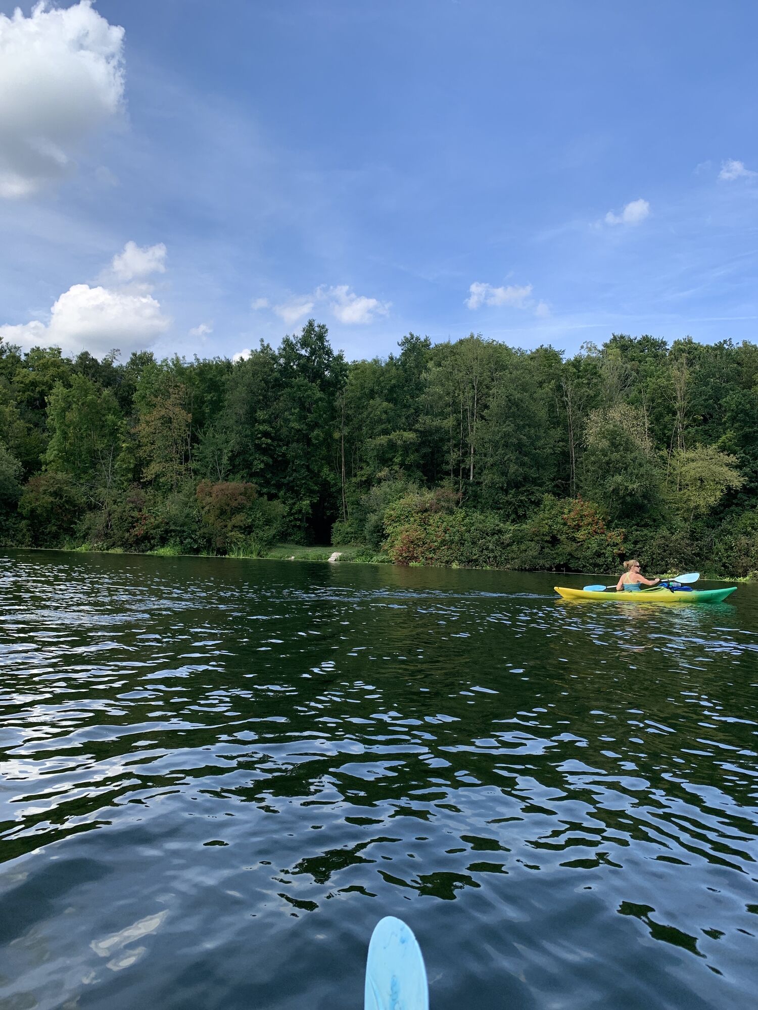
Geichsenhof - St. Kunigund - St. Nikolaus - Gessendorf
Cycling
Navigate
Navigate
Get this tour on your mobile
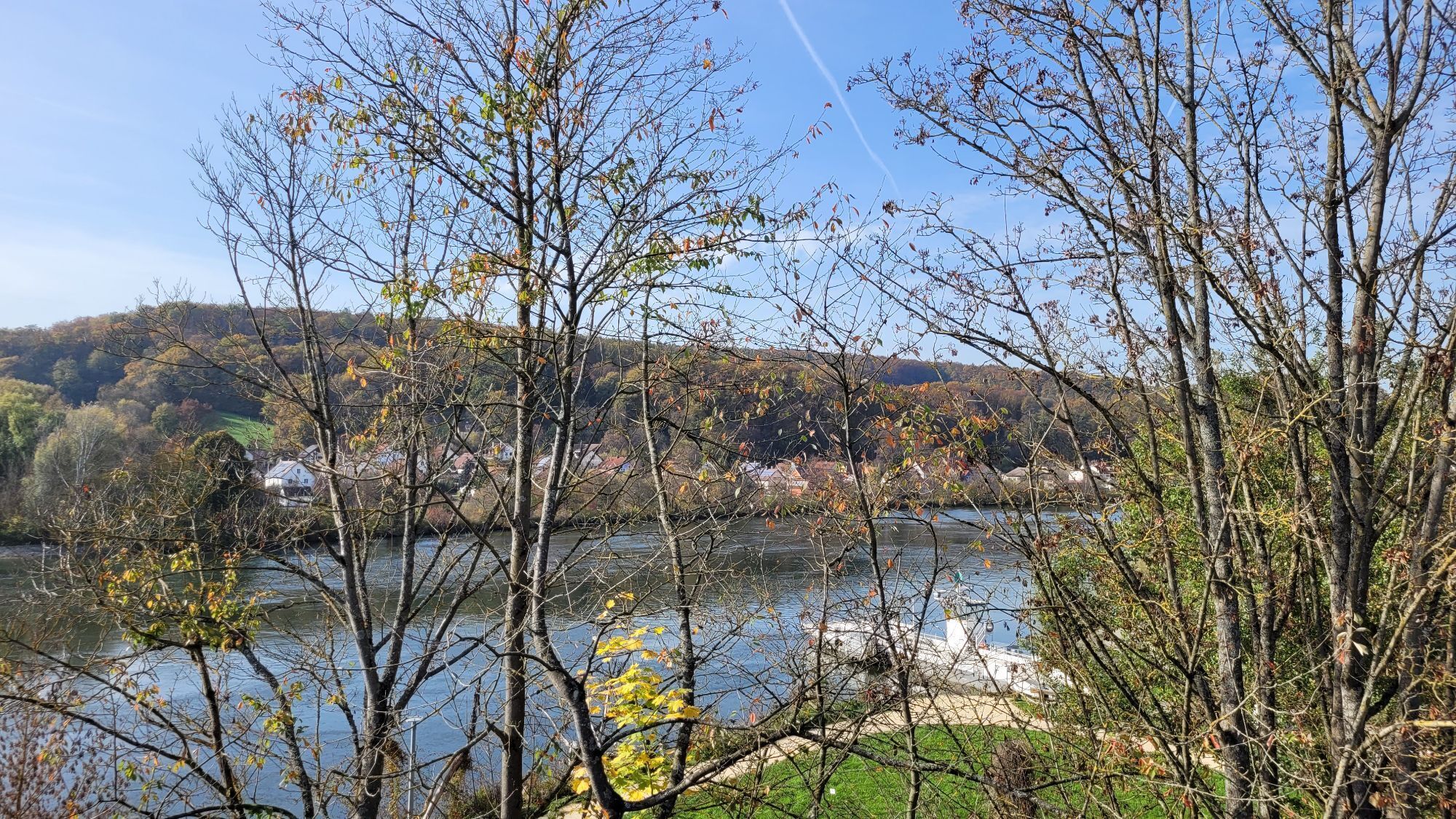
Geichsenhof - St. Kunigund - St. Nikolaus - Gessendorf
Cycling
191.88
km
Scan the QR code and start navigation in the bergfex app

Hiking & Tracking


Distance
191.88
km
Duration
07:03
h
Ascent
407
m
Sea level
333 -
609
m
Track download
Geichsenhof - St. Kunigund - St. Nikolaus - Gessendorf
Cycling
191.88
km


Route
St. Nikolaus
(380 m)
Place of worship
13.4 km
St. Emmeram
(369 m)
Place of worship
23.9 km
St. Gotthard
(414 m)
Place of worship
64.6 km
Frauenkirche
(369 m)
Place of worship
98.7 km
St. Martin
(359 m)
Place of worship
126.3 km
Mariä Himmelfahrt
(343 m)
Place of worship
141.7 km
Seufzerkapelle
(346 m)
Place of worship
177.8 km
Route
Geichsenhof - St. Kunigund - St. Nikolaus - Gessendorf
Cycling
191.88
km
Geichsenhof
(415 m)
Village
0.2 km
Haag
(419 m)
Village
1.8 km
St. Kunigund
(433 m)
Place of worship
2.9 km
Reuth
(433 m)
Village
3.0 km
Watzendorf
(416 m)
Village
4.6 km
Moosbach
(417 m)
Settlement
7.8 km
Gasthaus Geißelsöder
(416 m)
Restaurant
7.8 km
Windsbach
(384 m)
City
10.2 km
Retzendorf
(378 m)
Village
10.4 km
Gasthaus Pension Rezatgrund
(378 m)
Restaurant
10.5 km
Elpersdorf bei Windsbach
(376 m)
Village
11.5 km
Untereschenbach
(373 m)
Village
13.3 km
St. Nikolaus
(380 m)
Place of worship
13.4 km
Gasthaus zur Post
(372 m)
Restaurant
15.8 km
Wassermungenau
(370 m)
Village
15.8 km
St. Andreas
(377 m)
Place of worship
16.2 km
Wernfels
(422 m)
Village
19.0 km
Stiegelmühle
(366 m)
Settlement
19.1 km
Gasthof Blumenthal
(367 m)
Restaurant
19.1 km
Höfstetten
(366 m)
Settlement
20.1 km
Hohenrad
(367 m)
Settlement
20.2 km
Trautenfurt
(363 m)
Settlement
21.3 km
Spalt
(309 m)
City
23.8 km
St. Emmeram
(369 m)
Place of worship
23.9 km
St Christopherus
(368 m)
Place of worship
24.2 km
Wasserzell
(361 m)
Village
25.7 km
Straßenhaus
(366 m)
Settlement
26.4 km
Hügelmühle
(356 m)
Settlement
27.6 km
Landgasthof Liegel
(361 m)
Restaurant
32.4 km
Die kleine Kneipe
(362 m)
Restaurant
32.5 km
Mühlstetten
(365 m)
Village
32.5 km
Seenlandring Modellbahn
(368 m)
Playground
35.2 km
Seemannsmühle
(367 m)
Settlement
36.3 km
Böschleinsmühle
(368 m)
Settlement
37.0 km
Reichertsmühle
(369 m)
Settlement
37.4 km
Pleinfeld
(375 m)
City
39.0 km
Wurmmühle
(376 m)
Settlement
39.5 km
Marien-Kapelle Fiegenstall
(470 m)
Place of worship
43.0 km
Fiegenstall
(451 m)
Village
43.9 km
Zur Sonne
(450 m)
Restaurant
44.1 km
St. Nikolaus
(449 m)
Place of worship
44.1 km
Ettenstatt
(448 m)
Village
47.1 km
Geyern
(538 m)
Village
49.5 km
Bergen
(540 m)
Village
51.3 km
Landgasthof Syburg
(522 m)
Restaurant
53.9 km
Syburg
(523 m)
Settlement
53.9 km
Thalmannsfeld
(540 m)
Village
55.1 km
Bräustüberl
(540 m)
Restaurant
55.2 km
Dannhausen
(546 m)
Village
56.1 km
Reinwarzhofen
(584 m)
Village
59.1 km
St. Michael
(429 m)
Place of worship
63.6 km
Thalmässing
(415 m)
City
64.3 km
St. Gotthard
(414 m)
Place of worship
64.6 km
Hagenich
(425 m)
Village
66.1 km
Kleinhöbing
(402 m)
Settlement
69.6 km
Großhöbing
(406 m)
Settlement
70.7 km
St. Johannes Evangelist
(405 m)
Place of worship
70.7 km
Hausen
(441 m)
Village
77.5 km
Greding
(397 m)
City
80.6 km
Mettendorf
(394 m)
Settlement
83.0 km
Mariä Geburt
(379 m)
Place of worship
88.5 km
Gasthof "Zum Krebs"
(373 m)
Restaurant
88.6 km
Hotel Gasthof Krone
(373 m)
Restaurant
88.7 km
Kinding
(377 m)
Village
88.7 km
Pfraundorf
(369 m)
Village
94.1 km
Kratzmühle
(370 m)
Village
94.1 km
Badanhausen
(380 m)
Village
95.5 km
Weinbergsiedlung
(372 m)
Neighbourhood
98.0 km
Frauenkirche
(369 m)
Place of worship
98.7 km
Beilngries
(368 m)
City
98.7 km
Ottmaringer Siedlung
(383 m)
Neighbourhood
99.7 km
Ottmaring
(377 m)
Village
104.6 km
Töging
(369 m)
Village
106.8 km
Dietfurt an der Altmühl
(365 m)
City
108.8 km
Griesstetten
(361 m)
Village
109.0 km
Landgasthof zum Wolfsberg
(370 m)
Restaurant
112.0 km
Mühlbach
(364 m)
Village
112.2 km
Meihern
(370 m)
Village
115.6 km
Deising
(359 m)
Village
116.1 km
Untereggersberg
(357 m)
Village
118.4 km
Oberhofen
(360 m)
Village
119.8 km
Gundlfing
(359 m)
Village
121.0 km
Haidhof
(361 m)
Village
122.9 km
Riedenburg
(353 m)
City
125.0 km
St. Anna
(359 m)
Place of worship
125.4 km
Neuenkehrsdorf
(363 m)
Settlement
126.1 km
St. Martin
(359 m)
Place of worship
126.3 km
Aicholding
(361 m)
Settlement
126.5 km
Pestkapelle Maria Hilf Emmerthal
(356 m)
Place of worship
127.5 km
Prunn
(355 m)
Village
128.5 km
Hotel-Gasthof zur Krone
(357 m)
Restaurant
129.0 km
Schloßprunn
(450 m)
Settlement
129.5 km
Nußhausen
(354 m)
Settlement
129.6 km
Einthal
(352 m)
Village
129.8 km
Randeck
(516 m)
Village
133.6 km
Brauereigasthof Schneider
(348 m)
Restaurant
133.8 km
Gasthof Felsenwastlwirt
(357 m)
Restaurant
133.9 km
Heilig Geist
(350 m)
Place of worship
134.0 km
Essing
(352 m)
Village
134.1 km
Altessing
(351 m)
Village
135.0 km
Gasthof-Pension Ehrl
(350 m)
Restaurant
135.3 km
St. Martin
(352 m)
Place of worship
135.4 km
Oberau
(350 m)
Settlement
137.3 km
Kelheim
(343 m)
City
141.4 km
St. Matthäus
(342 m)
Place of worship
141.5 km
Mariä Himmelfahrt
(343 m)
Place of worship
141.7 km
La Pizza Dagli Amici
(344 m)
Restaurant
143.3 km
Gasthaus Winzer
(344 m)
Restaurant
145.2 km
Herrnsaal
(354 m)
Village
148.5 km
Kapfelberg
(383 m)
Village
152.1 km
Bullen und Bären Restaurant & Bar
(354 m)
Restaurant
152.4 km
Gundelshausen
(348 m)
Village
154.1 km
Lohstadt
(338 m)
Settlement
155.1 km
St. Leodegar
(451 m)
Place of worship
157.2 km
Bergmatting
(451 m)
Village
157.2 km
Saxberg
(444 m)
Village
158.1 km
Alling
(353 m)
Village
161.2 km
Bruckdorf
(346 m)
Village
163.4 km
Der Grieche
(342 m)
Restaurant
163.9 km
Sinzing
(355 m)
Village
165.7 km
Riegling
(352 m)
Settlement
167.1 km
Kleinprüfening
(336 m)
Village
167.8 km
Marienhöhe
(377 m)
Settlement
168.3 km
Kalvarienbergkirche
(343 m)
Place of worship
168.6 km
Mariaort
(337 m)
Corridor/terrain
168.7 km
Mariä Himmelfahrt
(338 m)
Place of worship
168.8 km
Waltenhofen
(336 m)
Settlement
170.1 km
Pizzeria - Ristorante Don Pietro
(345 m)
Restaurant
172.7 km
Deckelstein
(339 m)
Settlement
174.8 km
Landgasthof Spitzauer
(338 m)
Restaurant
175.6 km
Penk
(336 m)
Settlement
175.6 km
Gut Löweneck
(336 m)
Restaurant
175.7 km
Seufzerkapelle
(346 m)
Place of worship
177.8 km
Pielenhofen
(347 m)
Village
179.1 km
Duggendorf
(353 m)
Village
183.8 km
Heitzenhofen
(344 m)
Village
185.5 km
Weichseldorf
(340 m)
Village
187.0 km
Krachenhausen
(342 m)
Village
188.2 km
Gessendorf
(342 m)
Village
188.2 km
Kallmünz
(342 m)
Village
190.1 km
Krachenhausen
(342 m)
Village
191.7 km
Gessendorf
(342 m)
Village
191.8 km
No reviews yet
Popular tours in the neighbourhood
-
5.0
Sulzbürgrundtour mit 4 Gipfel
mediumHiking 13.7 km -
Naturlehrpfad Kaisinger Tal für Kinder ab 3 Jahren
lightHiking 2.68 km -
Burgenweg Kinding (ab Unteremmendorf)
mediumHiking 10.4 km -
Steinerne Rinne & Brunnen Sollngrießbach
mediumHiking 7.83 km -
Kratzmühle - Badanhausen Rundweg
lightHiking 8.68 km -
5.0
Kinding - Kratzmühlsee
mediumHiking 8.61 km -
La(a)bertour mit Kids
mediumCycling 25.1 km -
Burgenweg im Anlautertal - Schlaufe 18 des Altmühltal-Panoramaweges
mediumHiking 18.2 km -
3.0
Mühlenweg - Schlaufe 16 des Altmühltal-Panoramaweges
mediumHiking 25.9 km -
5.0
Labertalweg - Schlaufe 23 des Altmühltal-Panoramawegs
mediumHiking 23.6 km
Hiking & Tracking

Over 550.000 tour suggestions, detailed maps and an intuitive route planner make the app a must-have for all nature enthusiasts.

Don't miss out on offers and inspiration for your next holiday
Subscribe to the newsletter
Error
An error has occurred. Please try again.
Thank you for your registration
Your e-mail address has been added to the mailing list.
Tours throughout Europe
Austria
Switzerland
Germany
Italy
Slovenia
France
Netherlands
Belgium
Poland
Liechtenstein
Czechia
Slovakia
Spain
Croatia
Bosnia and Herzegovina
Luxembourg
Andorra
Portugal
Iceland
United Kingdom
Ireland
Greece
Albania
North Macedonia
Malta
Norway
Montenegro
Moldova
Kosovo
Hungary
San Marino
Romania
Estonia
Latvia
Belarus
Cyprus
Lithuania
Serbia
Bulgaria
Monaco
Denmark
Sweden
Finland