Anger_Teisenberg
medium
Navigate
Navigate
Get this tour on your mobile
Anger_Teisenberg
medium
Mountain hiking
10.92
km
Scan the QR code and start navigation in the bergfex app

Hiking & Tracking


Distance
10.92
km
Duration
02:26
h
Ascent
664
m
Sea level
812 -
1,338
m
Track download
Anger_Teisenberg
medium
Mountain hiking
10.92
km


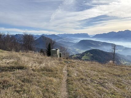
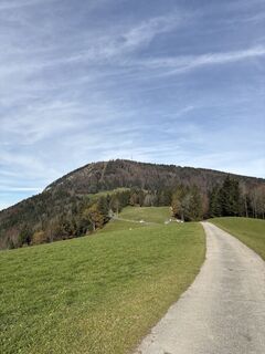
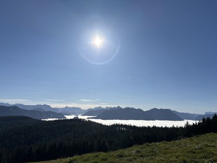
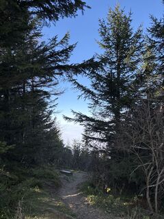
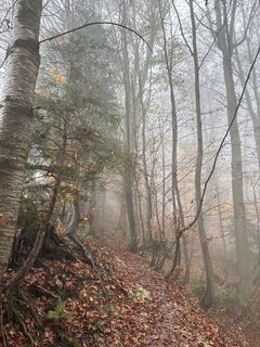
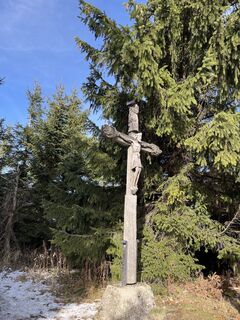
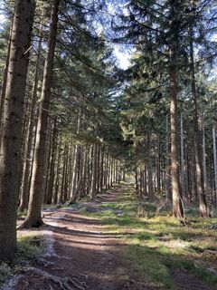
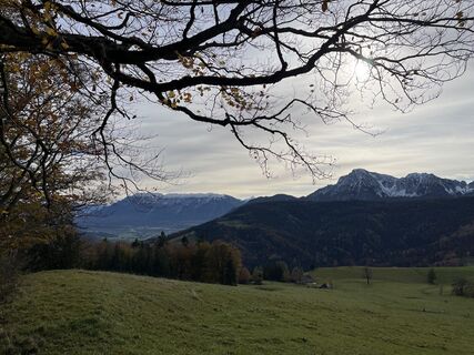
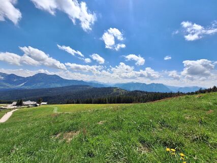
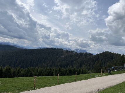
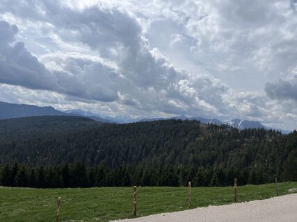
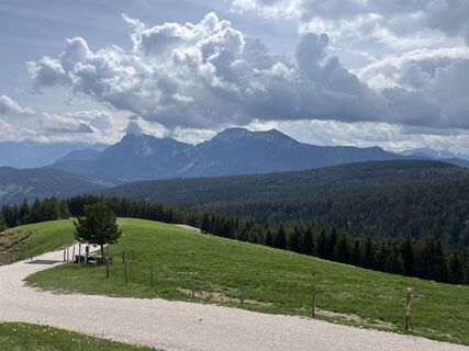
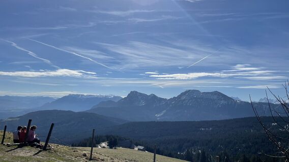
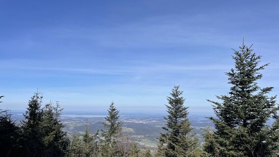
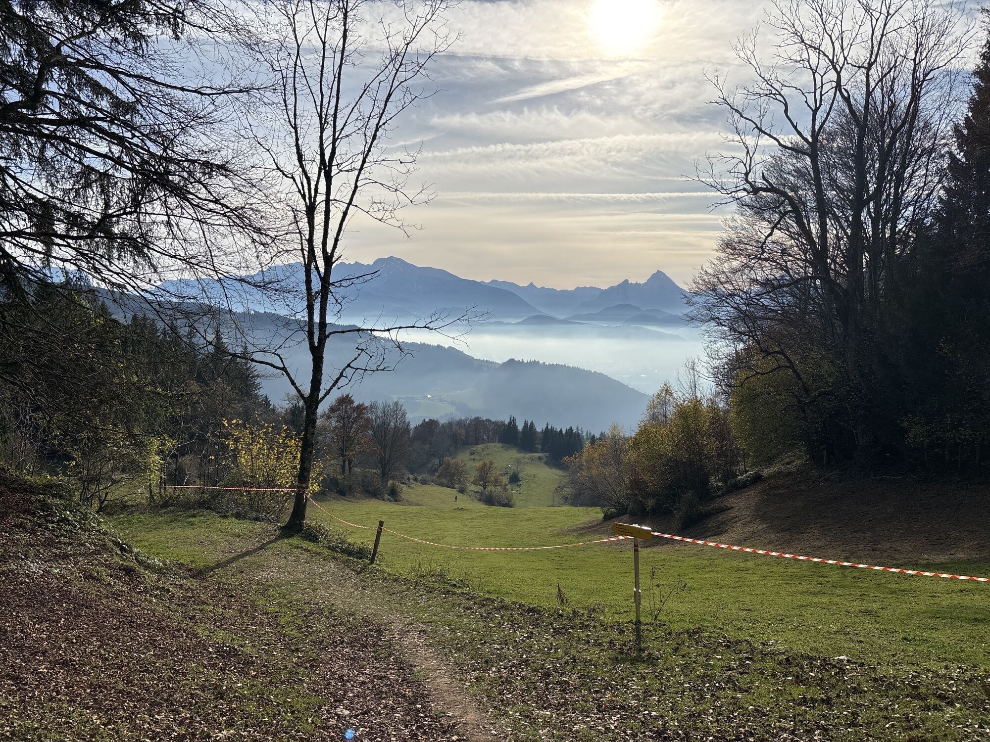
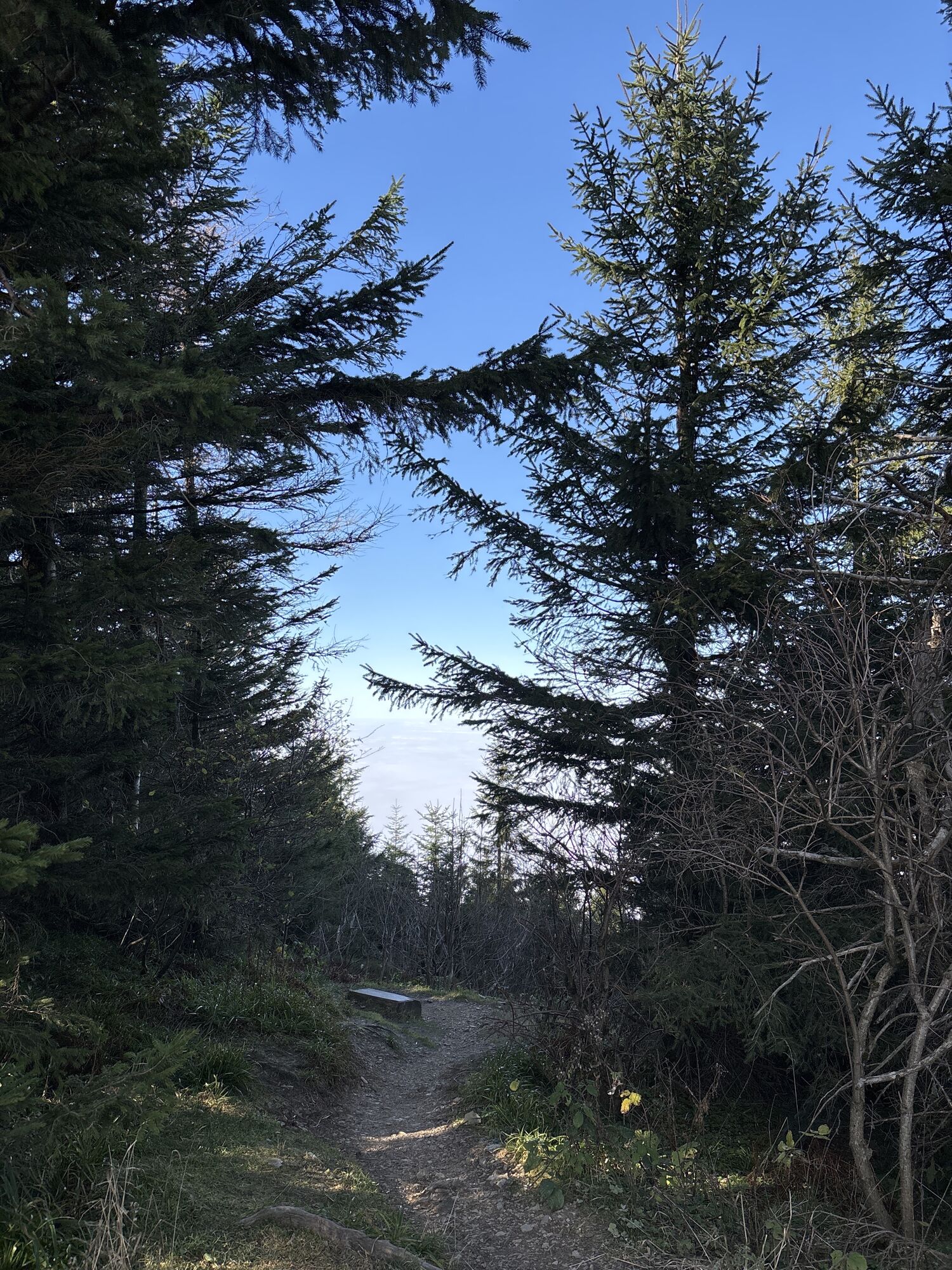
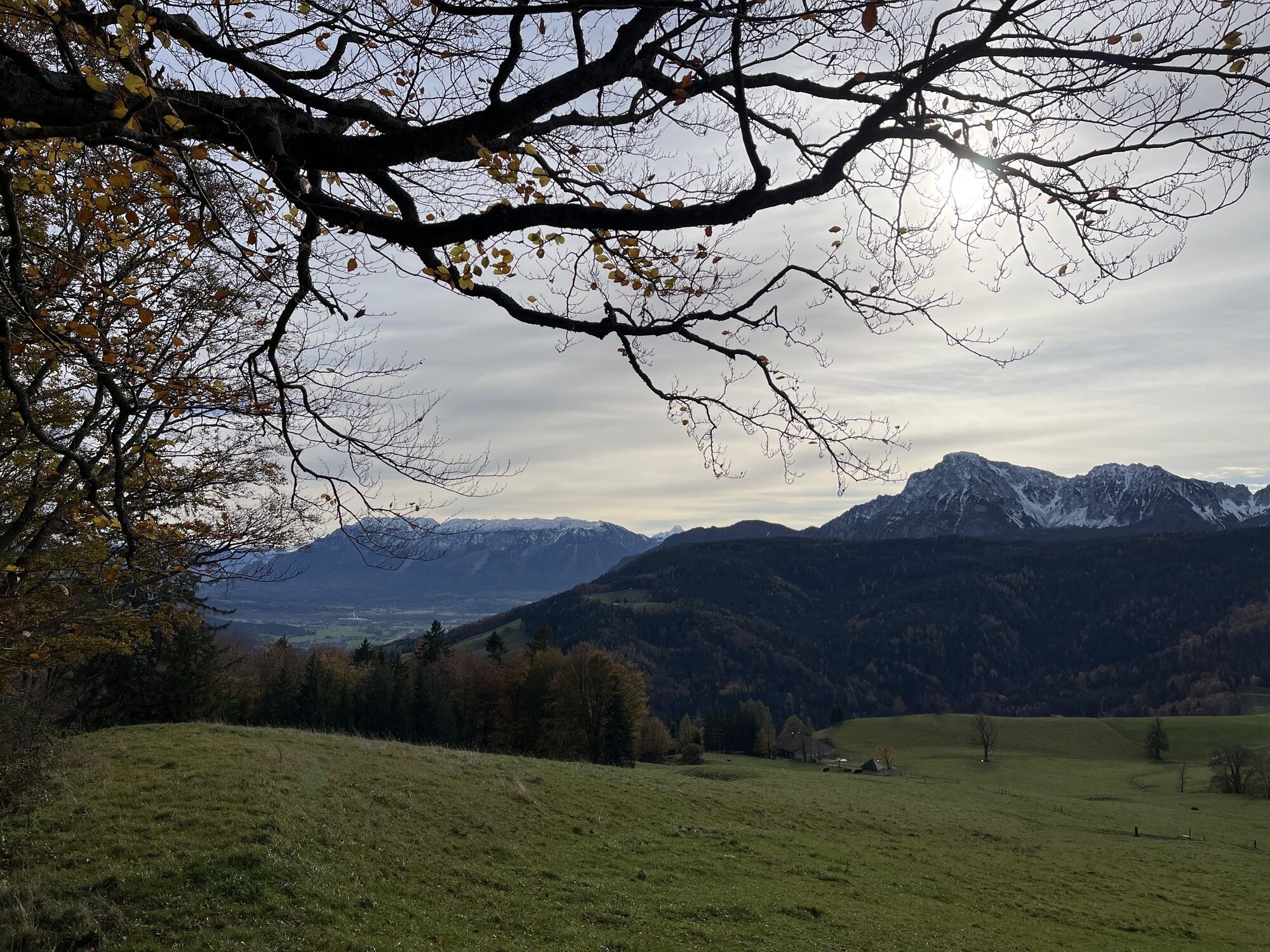
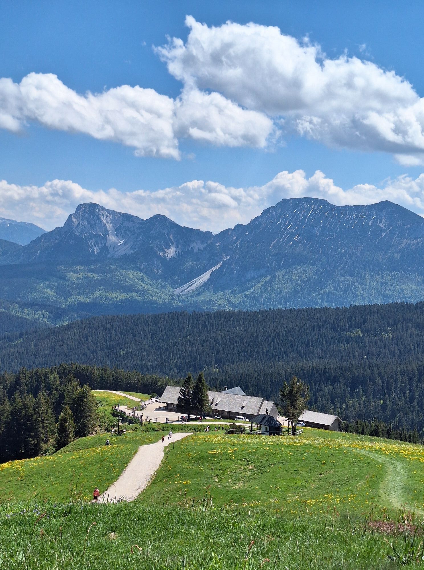
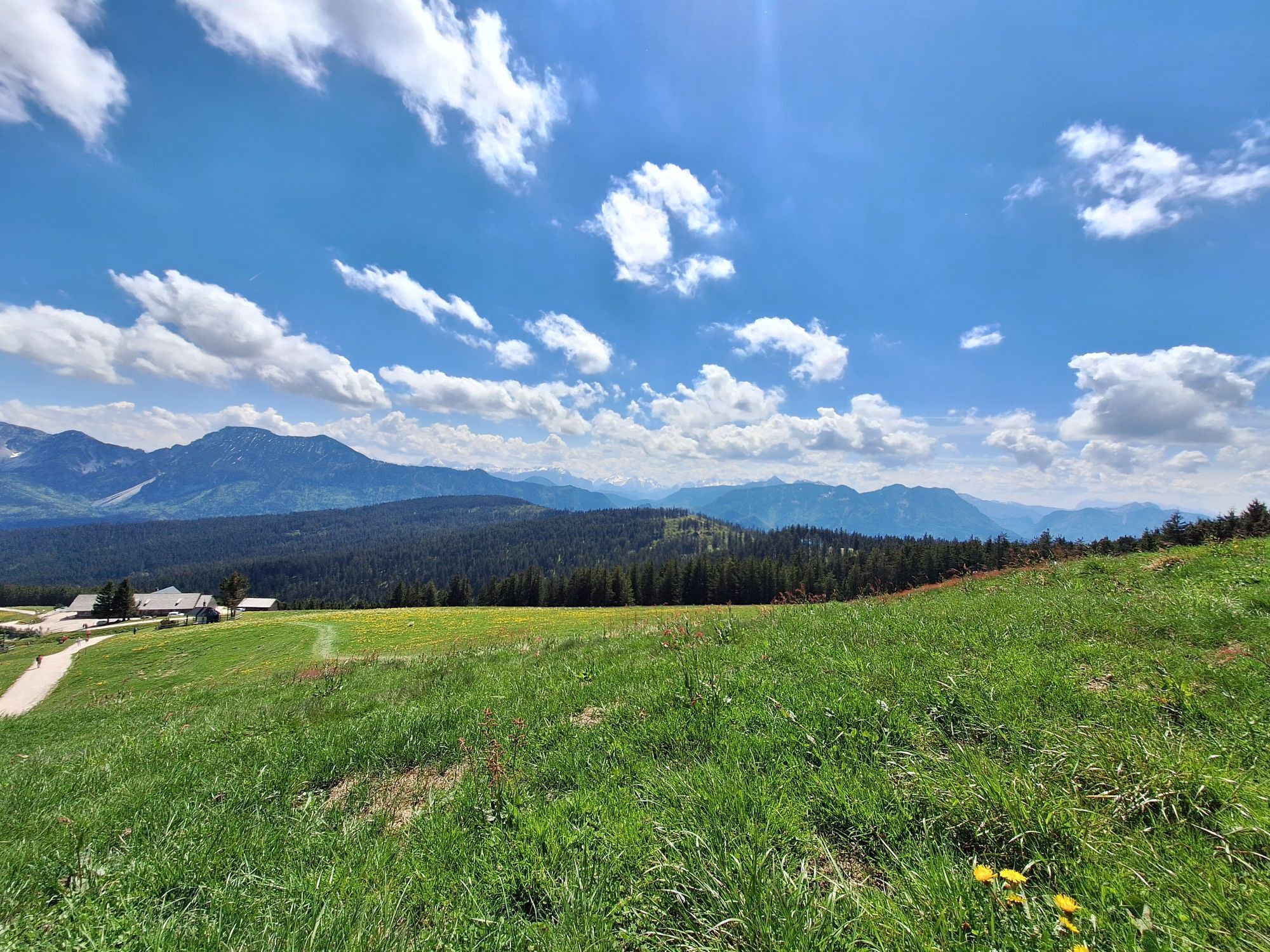
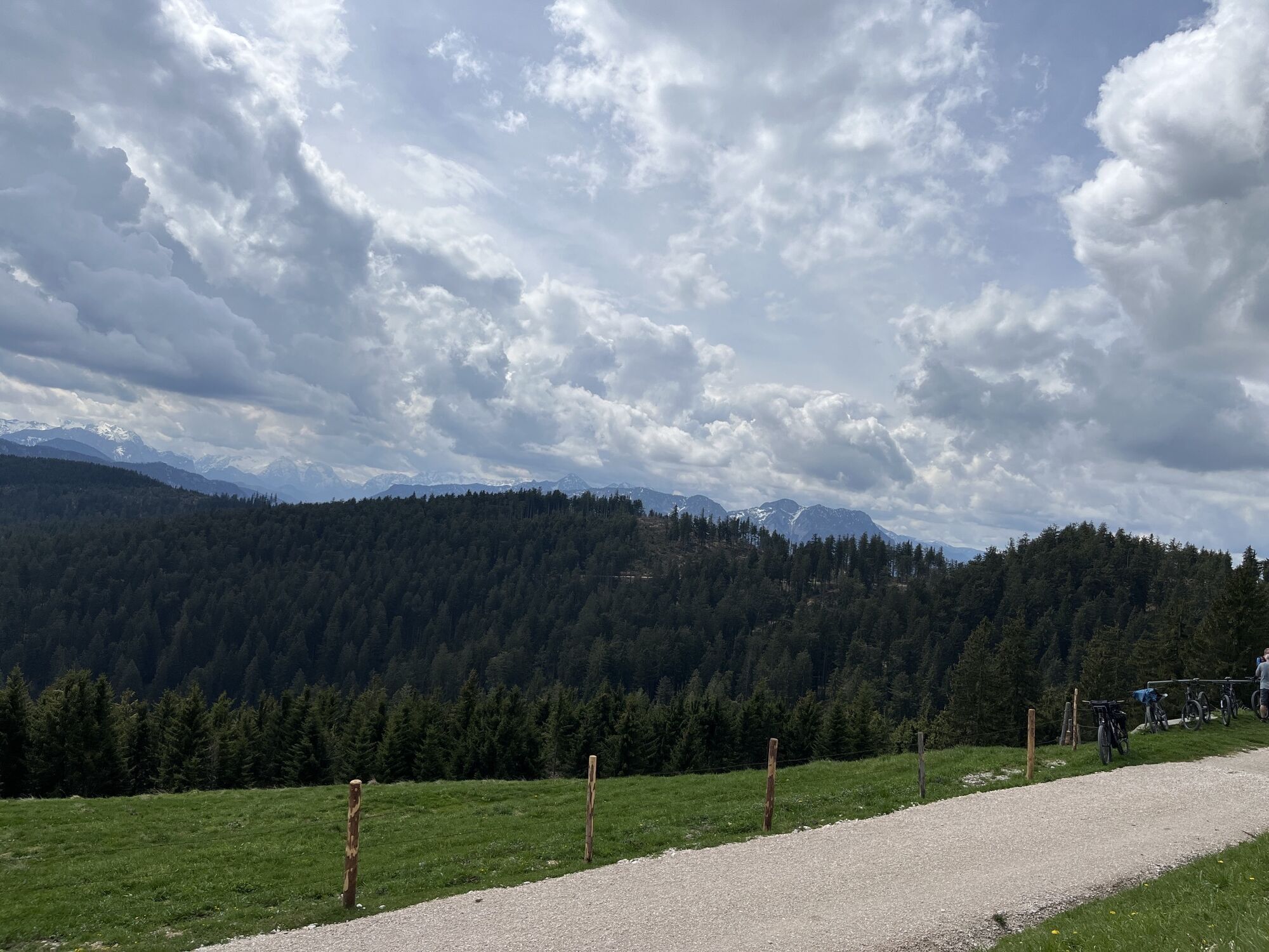
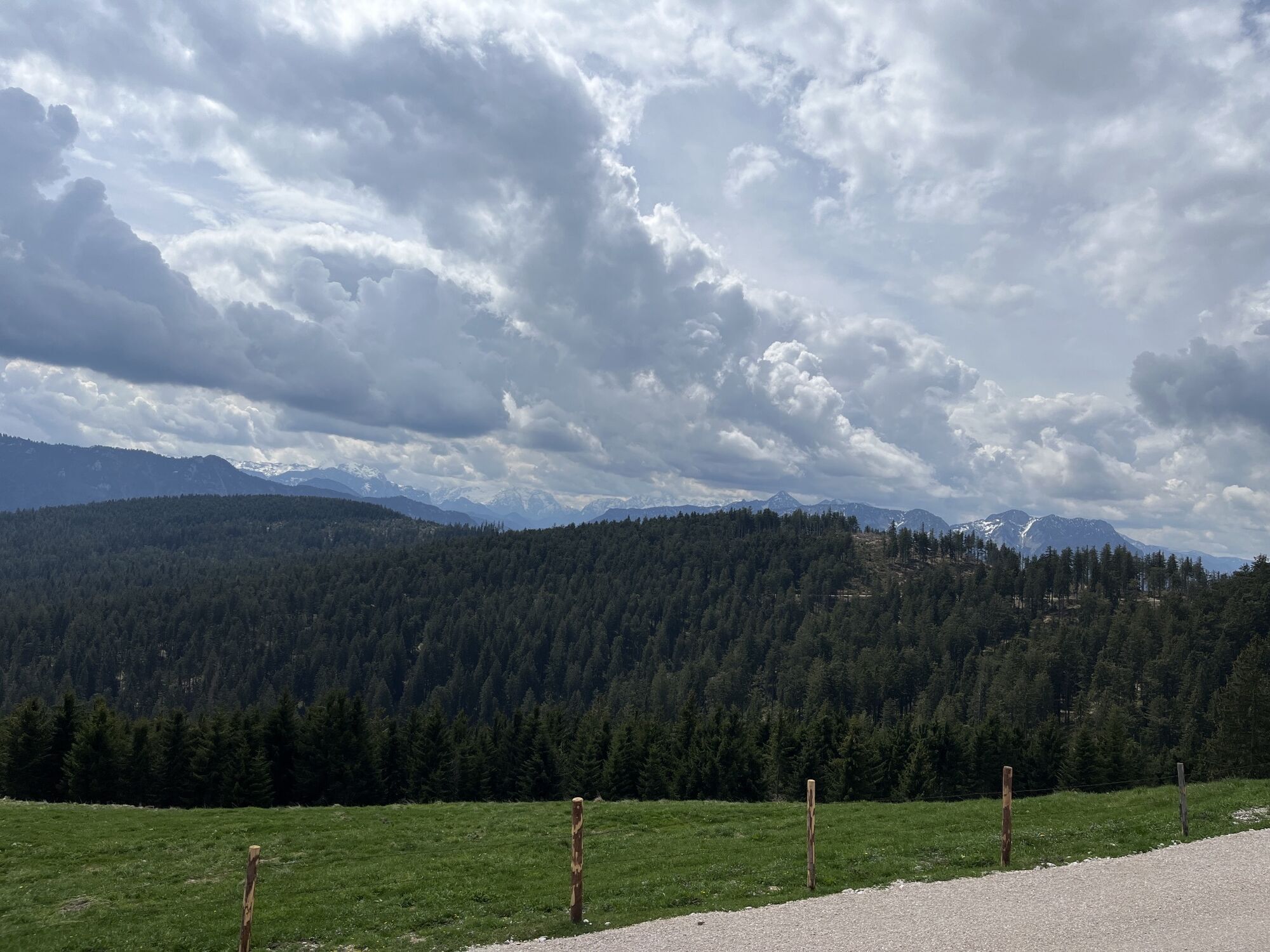
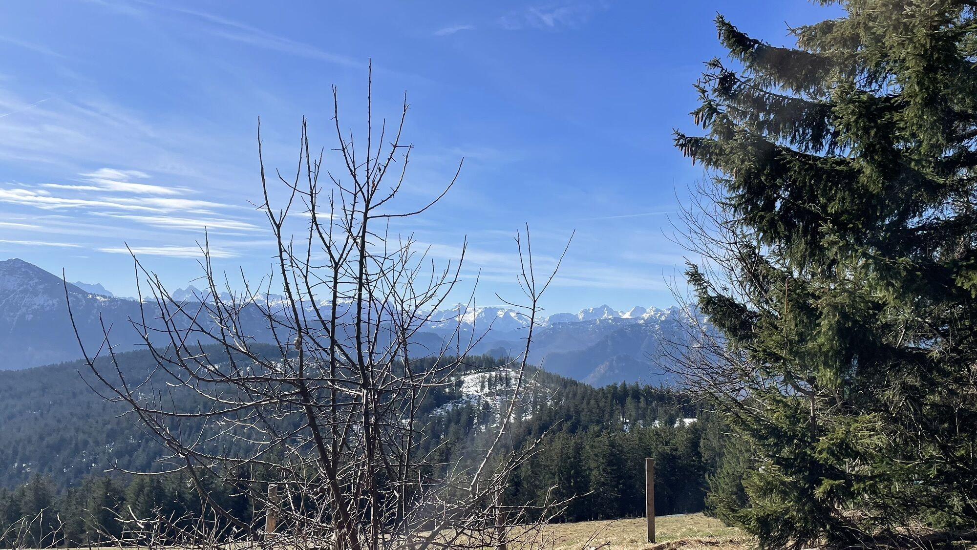
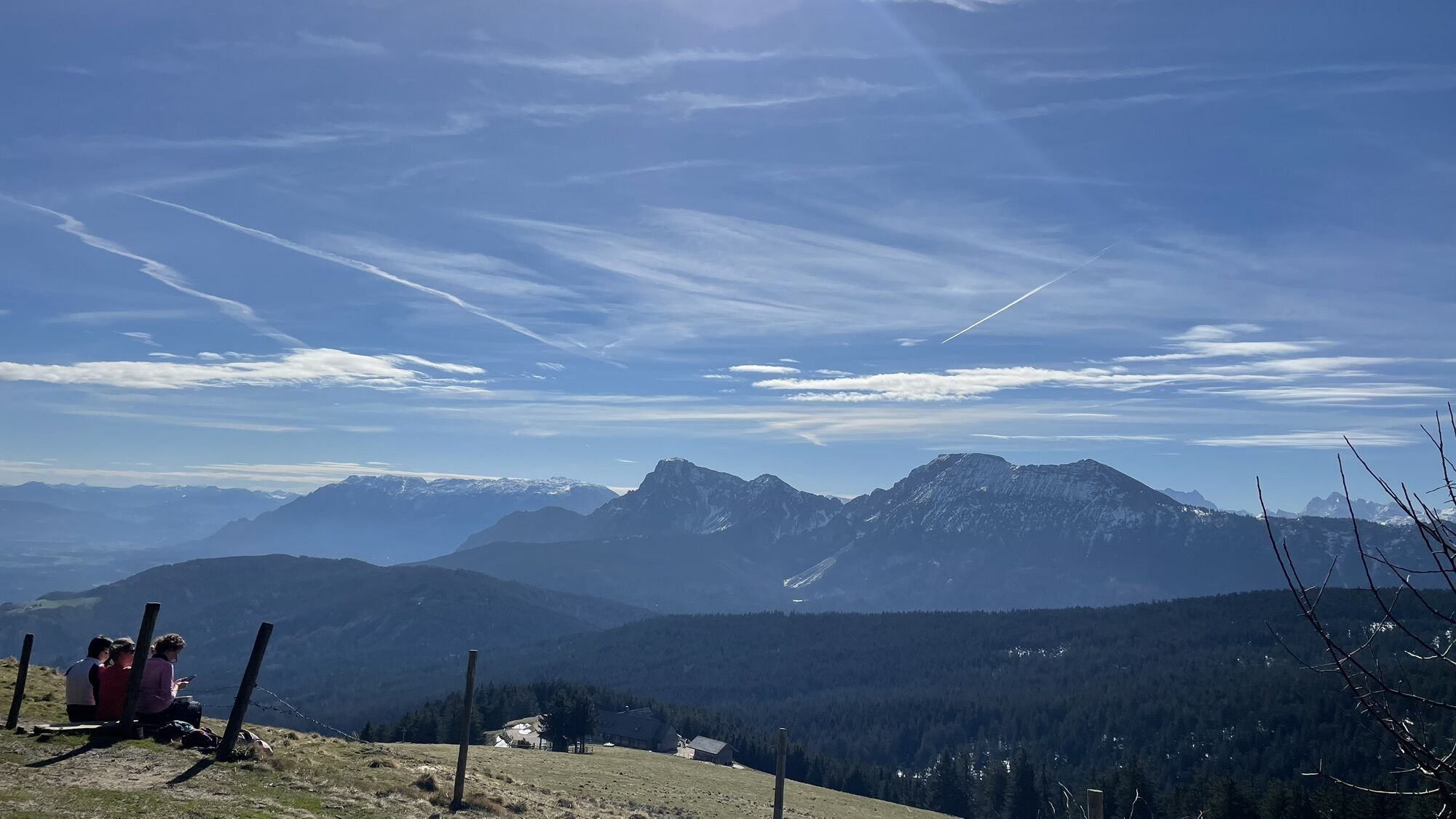
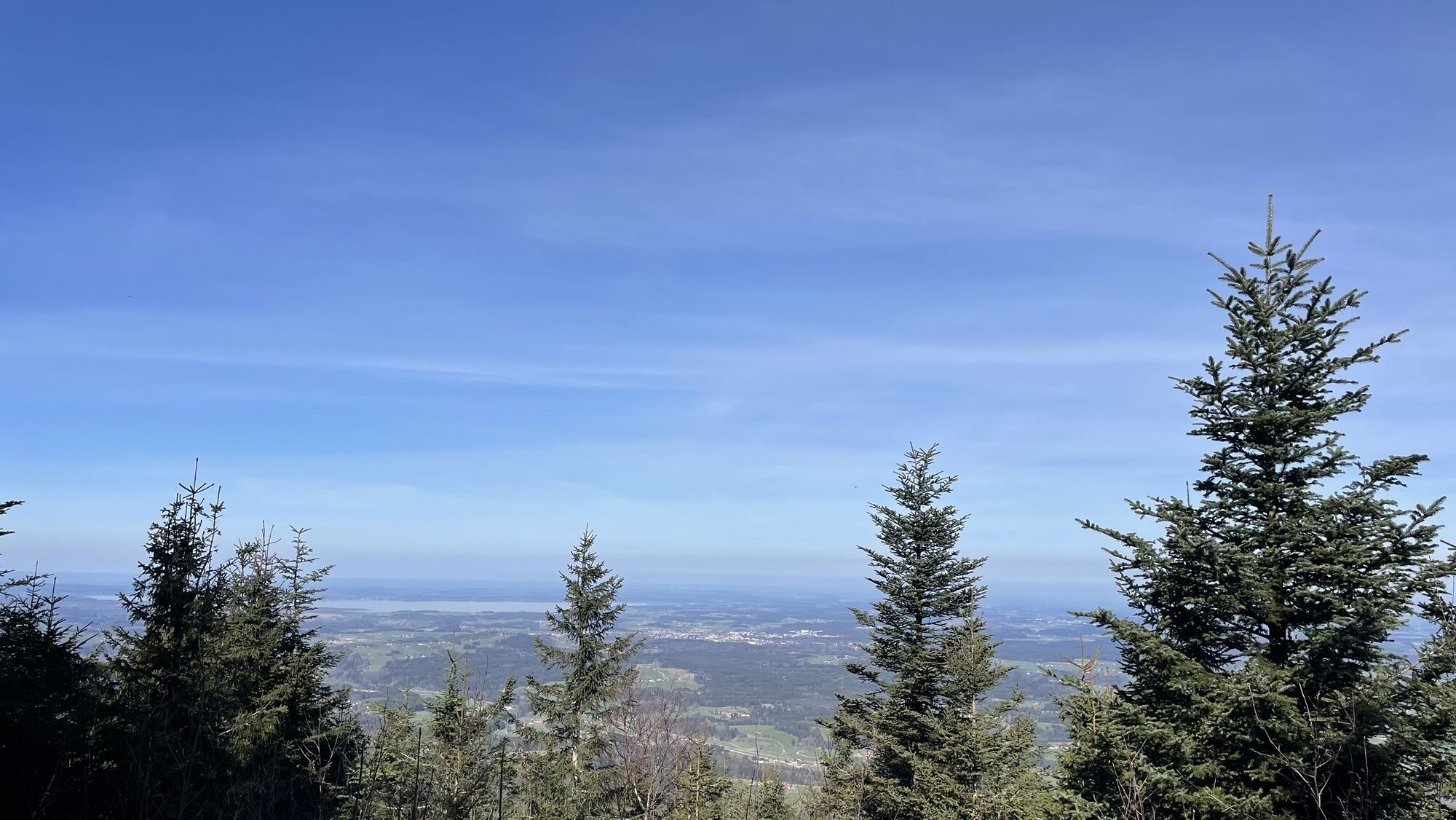
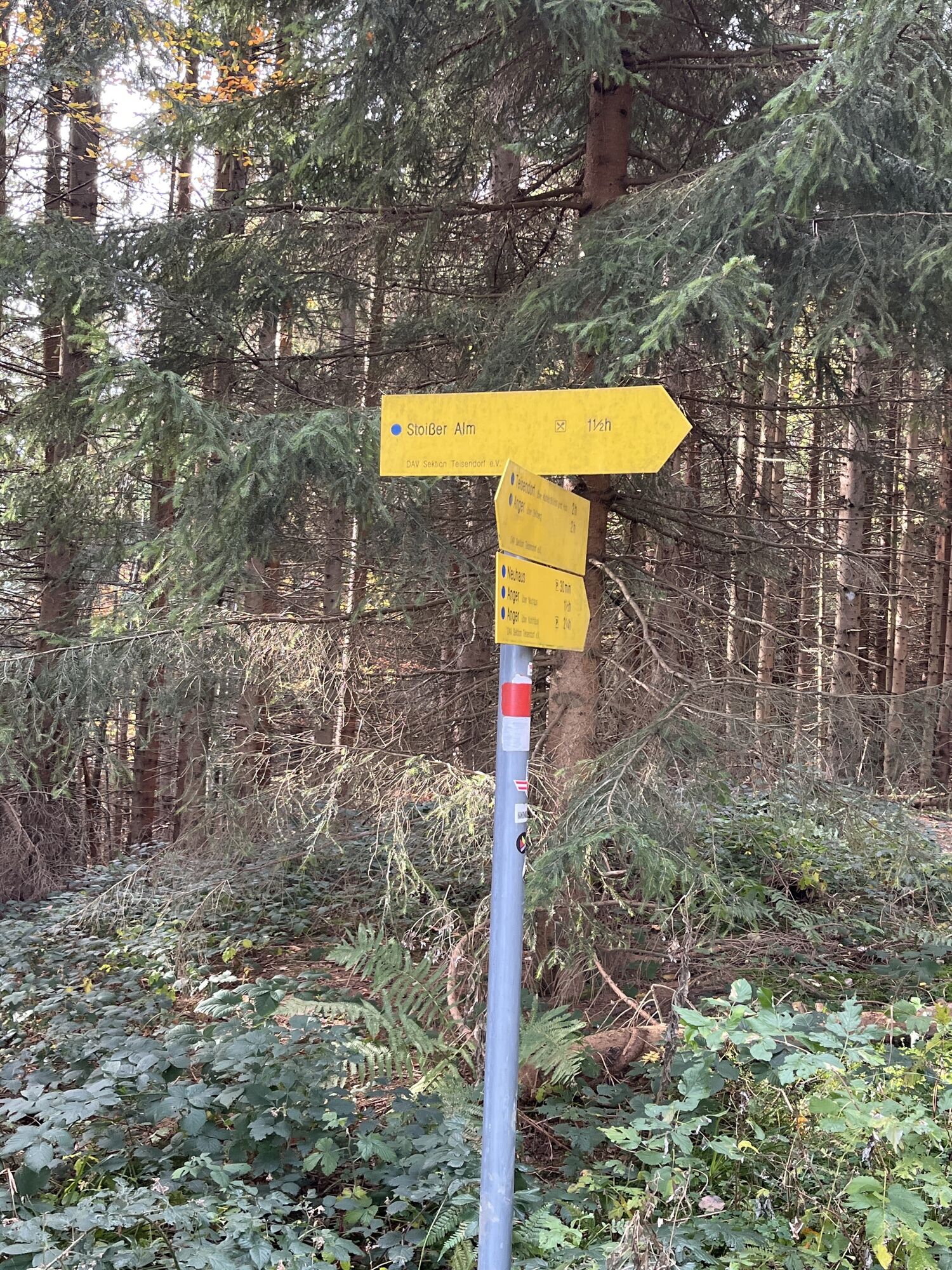
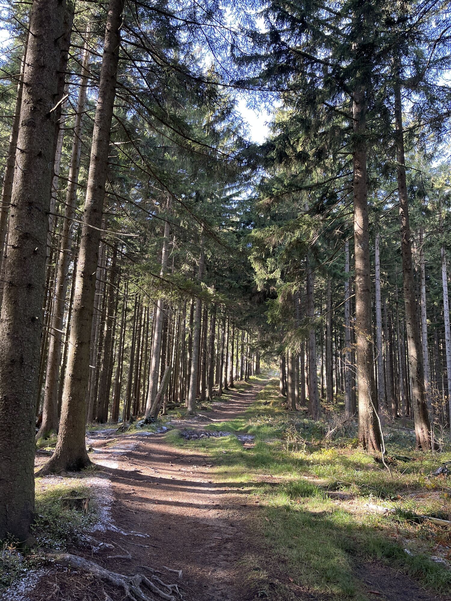
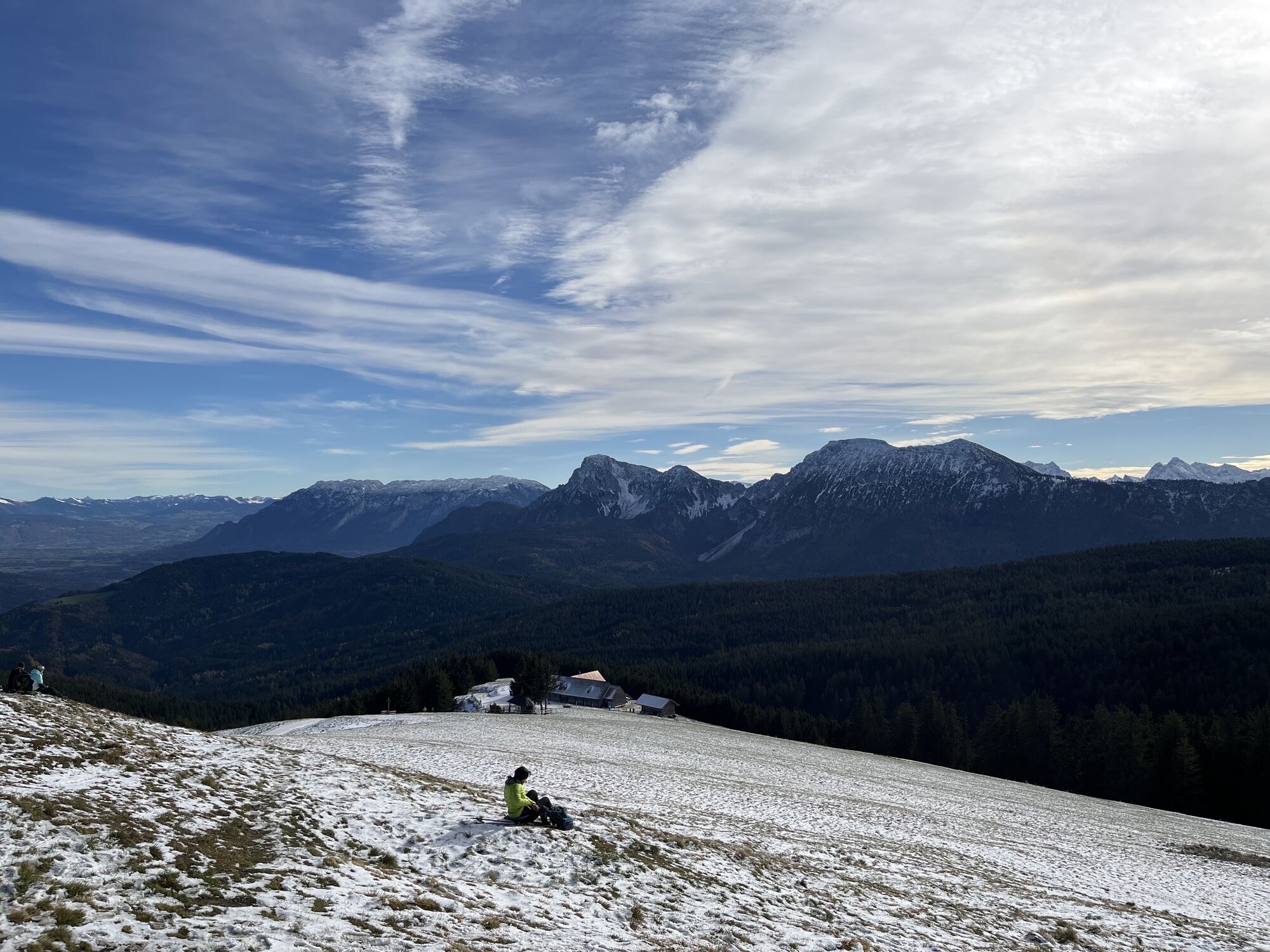
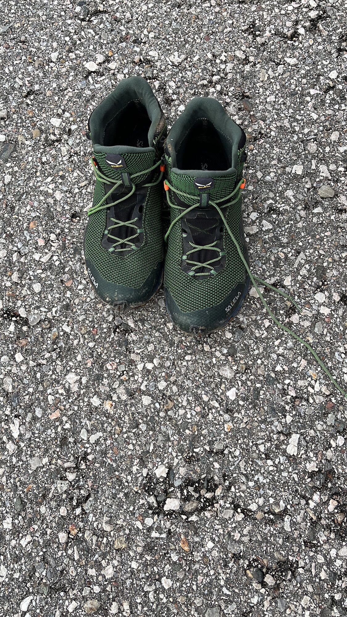
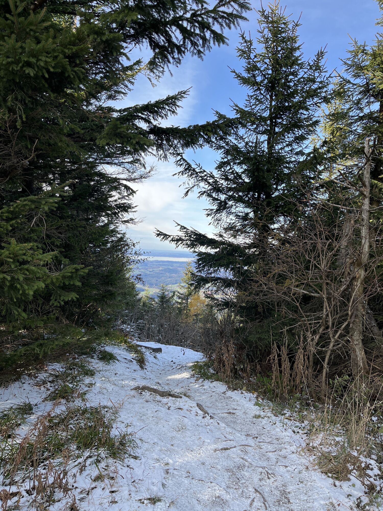
Photos from our users
-
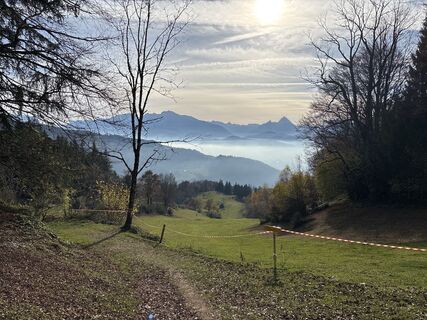
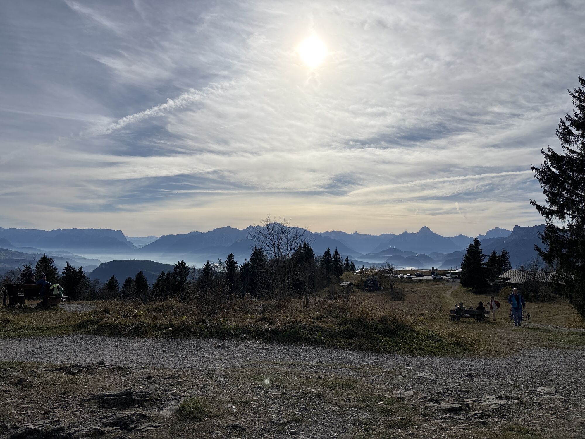
 © Heinz SperlCreated on 09.11.2024
 -
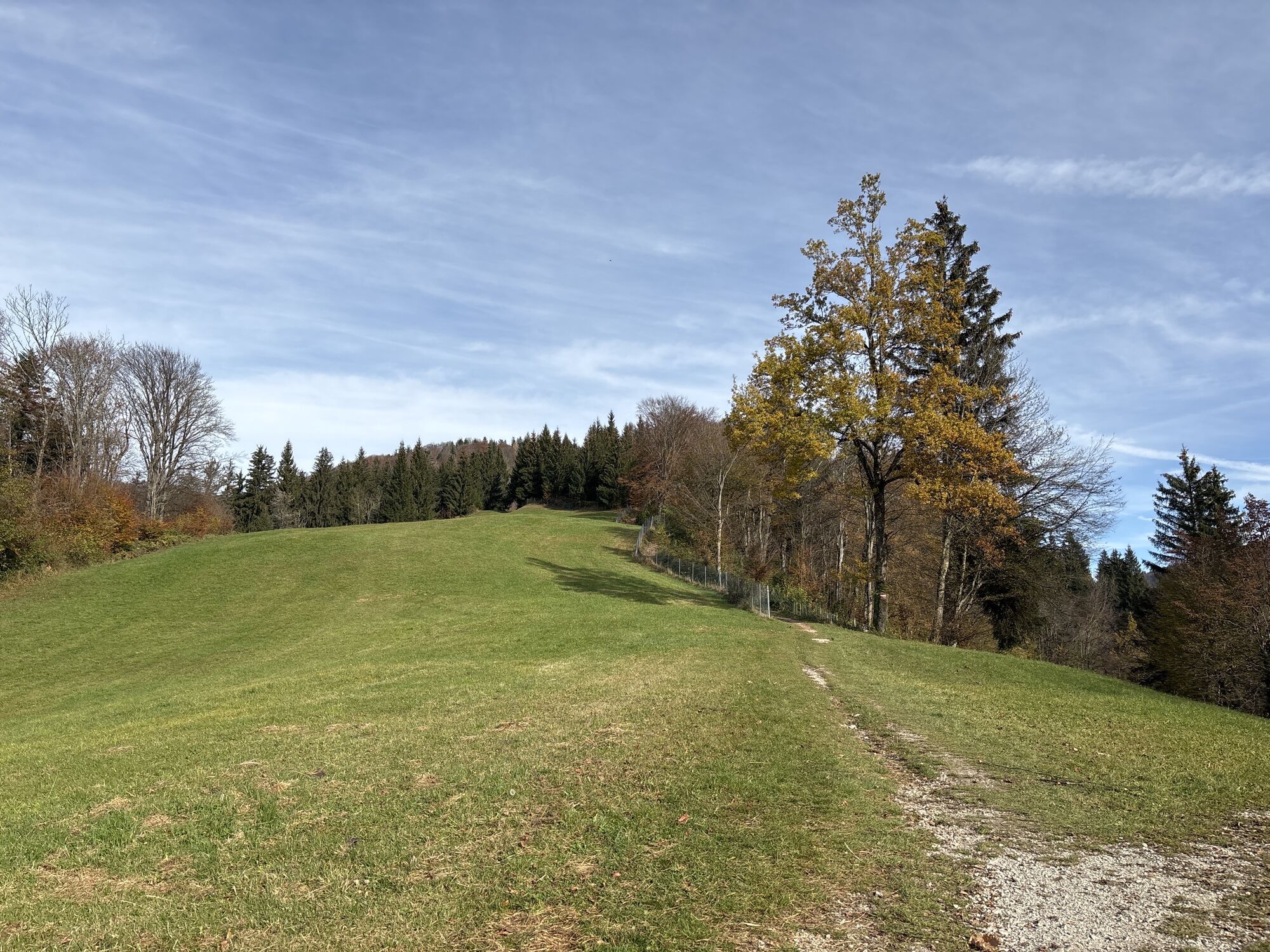
 © Heinz SperlCreated on 09.11.2024
 -
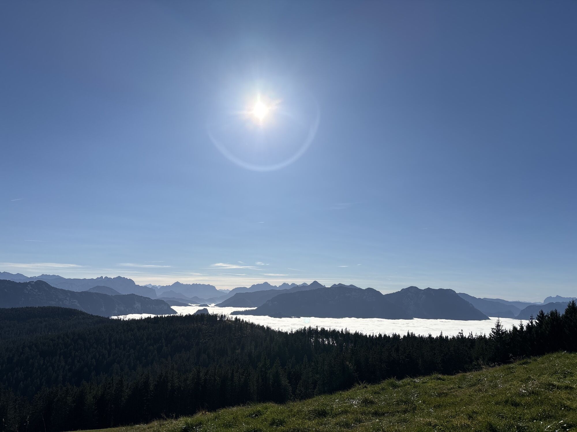
 © Heinz SperlCreated on 09.11.2024
 -
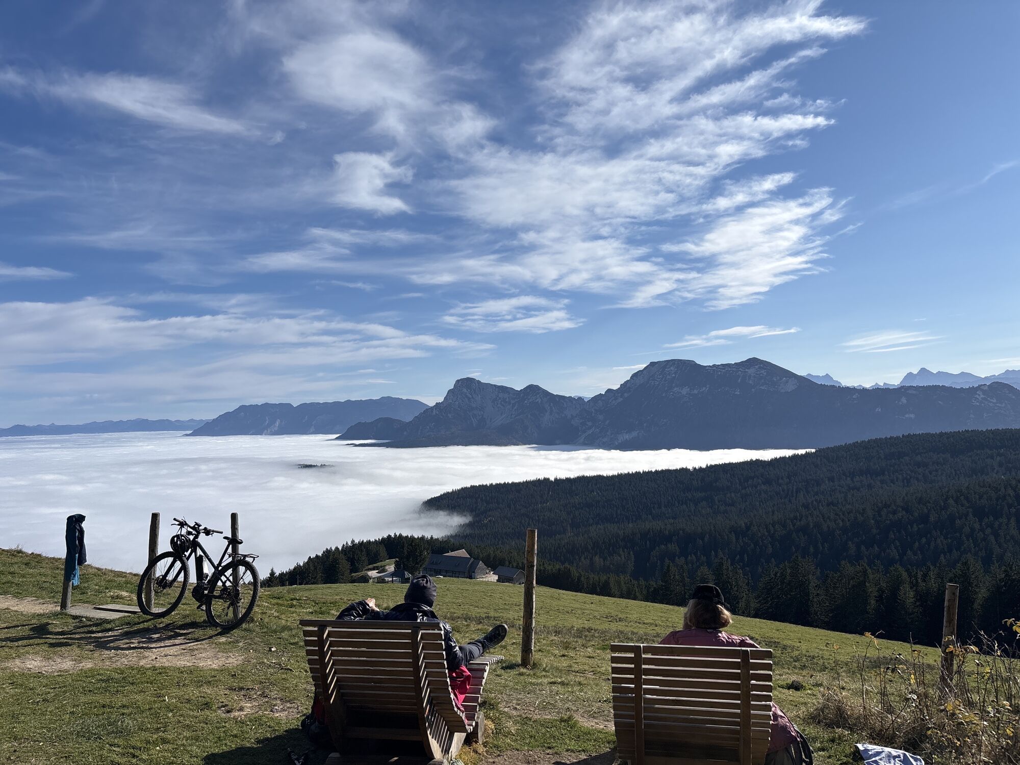
 © Heinz SperlCreated on 09.11.2024
 -
 © Heinz SperlCreated on 09.11.2024
 -
 © Heinz SperlCreated on 09.11.2024
 -
 © Heinz SperlCreated on 08.11.2024
 -
 © Heinz SperlCreated on 08.11.2024
 -
 © Heinz SperlCreated on 08.11.2024
 -
 © Heinz SperlCreated on 08.11.2024
 -
 © Heinz SperlCreated on 12.11.2023
 -
 © Heinz SperlCreated on 12.11.2023
 -
 © Heinz SperlCreated on 12.11.2023
 -
 © Heinz SperlCreated on 12.11.2023
 -
 © Heinz SperlCreated on 12.11.2023
 -

 © SanneHettiCreated on 12.05.2024
 -
 © SanneHettiCreated on 12.05.2024
 -
 © Heinz SperlCreated on 07.05.2023
 -
 © Heinz SperlCreated on 07.05.2023
 -
 © Heinz SperlCreated on 07.05.2023
 -

 © SwayCreated on 22.03.2023
 -
 © SwayCreated on 22.03.2023
 -
 © SwayCreated on 22.03.2023


Route


Last tracked
one week ago
Valuations
5
(1)
4
(0)
3
(0)
2
(0)
1
(0)
Popular tours in the neighbourhood
-
4.0
Vom Latschenwirt über Tannenwinkel nach Wolfschwang
lightHiking 5.55 km -
4.8
Dötzenkopf Rundweg
mediumHiking 6.73 km -
3.4
Rauschberg Rundwanderung über Sackgrabensteig
lightHiking 18 km -
4.2
Stoanara Jaga Hochstaufen Bad Reichenhall, Deutschland
heavyHiking 14.8 km -
5.0
Zum Hochstaufen über Steinerne Jäger
heavyHiking 10.1 km -
4.4
Sonnenaufgang
mediumHiking 3.97 km -
4.0
Dötzenkopf - Spechtenkopf - Dötzenkopf
mediumHiking 7.26 km -
5.0
Rundweg um den Abtsee
Hiking 5.07 km -
4.7
Jochberg - Zwiesel
lightHiking 4.12 km -
4.8
Pidinger Klettersteig mit Umweg im Abstieg
heavyVia ferrata 15.0 km
Hiking & Tracking

Over 550.000 tour suggestions, detailed maps and an intuitive route planner make the app a must-have for all nature enthusiasts.

Don't miss out on offers and inspiration for your next holiday
Subscribe to the newsletter
Error
An error has occurred. Please try again.
Thank you for your registration
Your e-mail address has been added to the mailing list.
Tours throughout Europe
Austria
Switzerland
Germany
Italy
Slovenia
France
Netherlands
Belgium
Poland
Liechtenstein
Czechia
Slovakia
Spain
Croatia
Bosnia and Herzegovina
Luxembourg
Andorra
Portugal
Iceland
United Kingdom
Ireland
Greece
Albania
North Macedonia
Malta
Norway
Montenegro
Moldova
Kosovo
Hungary
San Marino
Romania
Estonia
Latvia
Belarus
Cyprus
Lithuania
Serbia
Bulgaria
Monaco
Denmark
Sweden
Finland