Restaurant am Golfplatz - Mariä Himmelfahrt - St. Jakobus - St. Bartholomäus
heavy
Navigate
Navigate
Get this tour on your mobile
Restaurant am Golfplatz - Mariä Himmelfahrt - St. Jakobus - St. Bartholomäus
heavy
Gravelbike
88.71
km
Scan the QR code and start navigation in the bergfex app

Hiking & Tracking


Distance
88.71
km
Duration
05:06
h
Ascent
239
m
Sea level
318 -
338
m
Track download
Restaurant am Golfplatz - Mariä Himmelfahrt - St. Jakobus - St. Bartholomäus
heavy
Gravelbike
88.71
km


Route
Mariä Himmelfahrt
(328 m)
Place of worship
7.3 km
St. Bartholomäus
(327 m)
Place of worship
23.1 km
Sankt Georg
(333 m)
Place of worship
37.5 km
DÎTÎB Regensburg – islamische Gemeinde e.V
(333 m)
Place of worship
41.3 km
Sankt Georg
(333 m)
Place of worship
46.2 km
St. Bartholomäus
(327 m)
Place of worship
60.5 km
Mariä Himmelfahrt
(328 m)
Place of worship
81.3 km
Route
Restaurant am Golfplatz - Mariä Himmelfahrt - St. Jakobus - St. Bartholomäus
heavy
Gravelbike
88.71
km
Restaurant am Golfplatz
(320 m)
Restaurant
0.0 km
Pondorf
(328 m)
Village
7.3 km
Mariä Himmelfahrt
(328 m)
Place of worship
7.3 km
Hofdorf
(345 m)
Village
12.0 km
Tiefenthal
(350 m)
Village
13.6 km
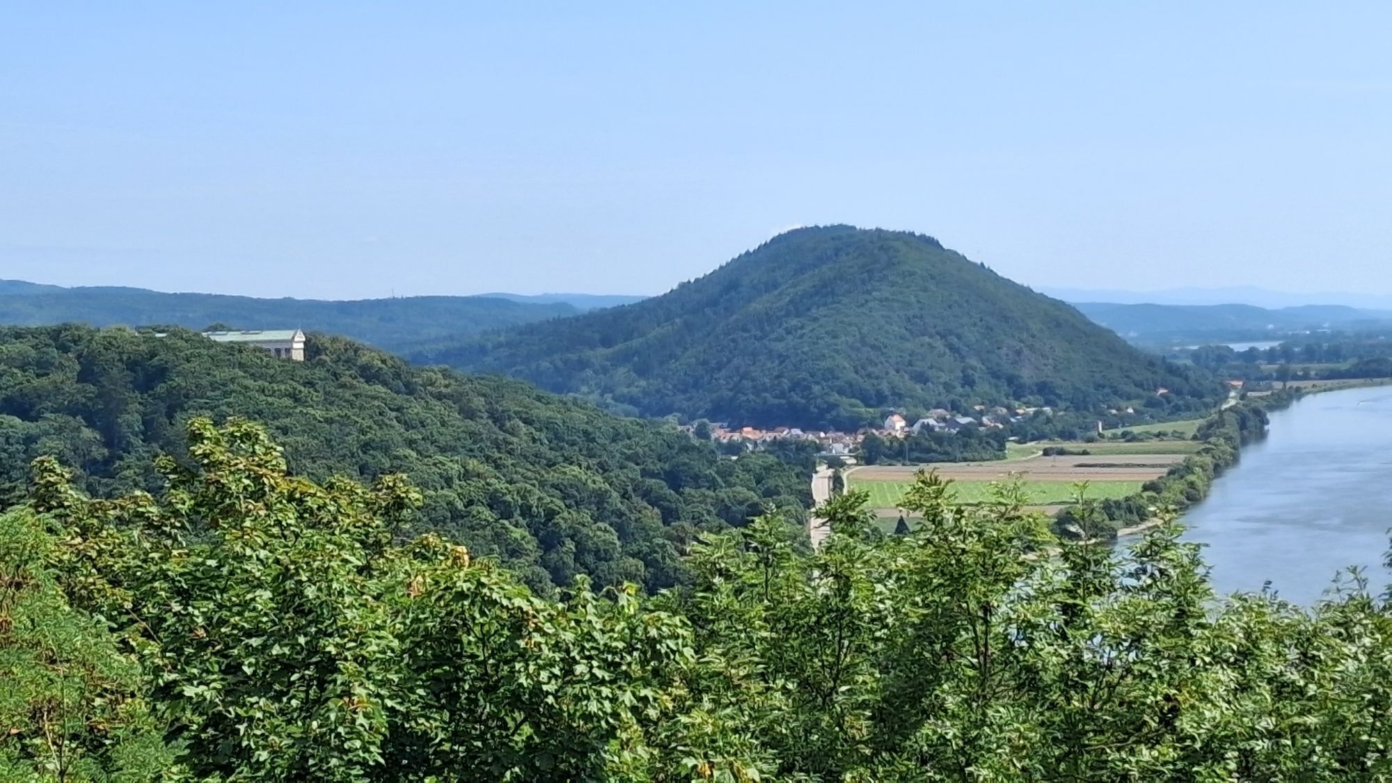
Wörth an der Donau
(334 m)
City
16.0 km
Oberachdorf
(325 m)
Village
17.0 km
Gasthaus Peutl
(326 m)
Restaurant
19.8 km
Kiefenholz
(326 m)
Village
19.9 km
St. Jakobus
(325 m)
Place of worship
19.9 km
St. Bartholomäus
(327 m)
Place of worship
23.1 km
Frengkofen
(327 m)
Village
23.2 km
Bach an der Donau
(329 m)
Village
24.3 km
Friesheim
(329 m)
Village
26.5 km
Demling
(327 m)
Village
26.8 km
Sulzbach an der Donau
(332 m)
Village
30.1 km
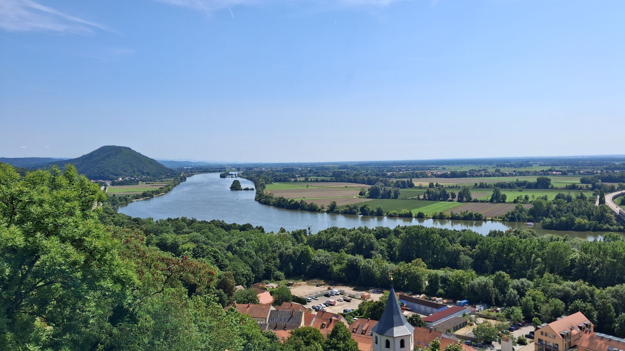
Donaustauf
(390 m)
Village
32.3 km
Schwabelweis
(332 m)
Neighbourhood
37.2 km
Sankt Georg
(333 m)
Place of worship
37.5 km
Ostermayer-Viertel
(332 m)
Neighbourhood
41.2 km
DÎTÎB Regensburg – islamische Gemeinde e.V
(333 m)
Place of worship
41.3 km
Anlegestelle Donauschifffahrt
(329 m)
Ferry landing stage
41.4 km
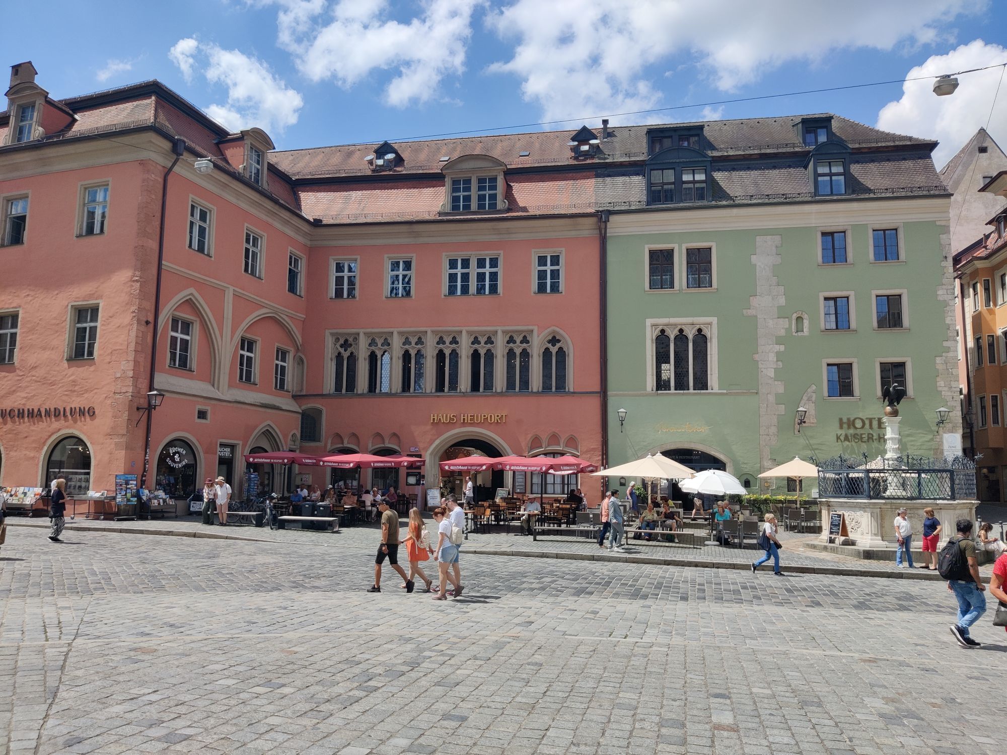
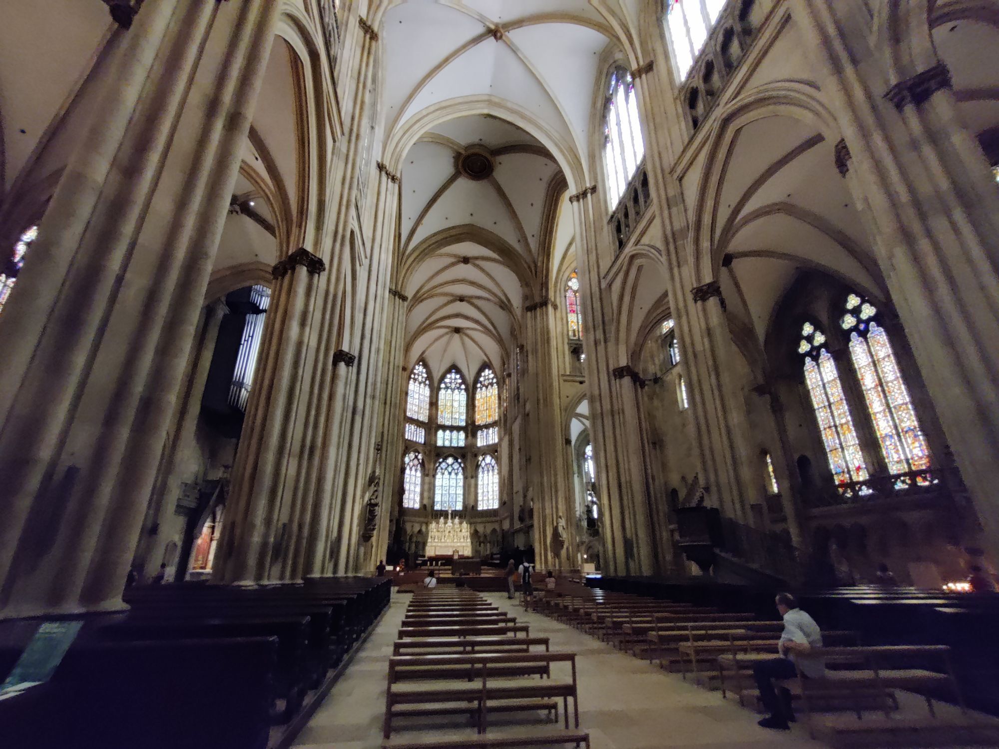
Regensburg
(338 m)
City
41.5 km
Stadtamhof
(333 m)
Neighbourhood
42.1 km
Steinweg
(332 m)
Neighbourhood
42.5 km
Reinhausen
(333 m)
Neighbourhood
43.0 km
Weichs
(333 m)
Neighbourhood
43.6 km
Sankt Georg
(333 m)
Place of worship
46.2 km
Schwabelweis
(332 m)
Neighbourhood
46.5 km
Donaustauf
(390 m)
Village
51.4 km
Sulzbach an der Donau
(332 m)
Village
53.5 km
Demling
(327 m)
Village
56.8 km
Friesheim
(329 m)
Village
57.2 km
Bach an der Donau
(329 m)
Village
59.3 km
Frengkofen
(327 m)
Village
60.5 km
St. Bartholomäus
(327 m)
Place of worship
60.5 km
Kiefenholz
(326 m)
Village
63.7 km
Oberachdorf
(325 m)
Village
71.8 km
Wörth an der Donau
(334 m)
City
72.6 km
Tiefenthal
(350 m)
Village
75.0 km
Hofdorf
(345 m)
Village
76.5 km
Pondorf
(328 m)
Village
81.1 km
Mariä Himmelfahrt
(328 m)
Place of worship
81.3 km
Restaurant am Golfplatz
(320 m)
Restaurant
88.7 km
No reviews yet
Popular tours in the neighbourhood
-
Donaustauf, Hoher Markstein, Silberweiher, Hammermühle
lightWalking 13.2 km -
Straubing
heavyInline-Skating 42.3 km -
5.0
Koreawirtrunde
mediumHiking 11.1 km -
Große Höllbachtalrunde
mediumHiking 10.4 km -
Tegernheim
lightWalking 3.61 km -
4.0
Fürstlicher Thiergarten
lightHiking 7.21 km -
5.0
Silberweiher, Walhalla
lightWalking 8.68 km -
4.0
Straubing - Mariä Himmelfahrt - St. Bartholomäus - Regensburg Hauptbahnhof
lightLong distance cycling 57.9 km -
Regensburg Hauptbahnhof - St. Bartholomäus - Mariä Himmelfahrt - Straubing
lightLong distance cycling 58.1 km -
An der schönen blauen Donau
Hiking 57.3 km
Hiking & Tracking

Over 550.000 tour suggestions, detailed maps and an intuitive route planner make the app a must-have for all nature enthusiasts.

Don't miss out on offers and inspiration for your next holiday
Subscribe to the newsletter
Error
An error has occurred. Please try again.
Thank you for your registration
Your e-mail address has been added to the mailing list.
Tours throughout Europe
Austria
Switzerland
Germany
Italy
Slovenia
France
Netherlands
Belgium
Poland
Liechtenstein
Czechia
Slovakia
Spain
Croatia
Bosnia and Herzegovina
Luxembourg
Andorra
Portugal
Iceland
United Kingdom
Ireland
Greece
Albania
North Macedonia
Malta
Norway
Montenegro
Moldova
Kosovo
Hungary
San Marino
Romania
Estonia
Latvia
Belarus
Cyprus
Lithuania
Serbia
Bulgaria
Monaco
Denmark
Sweden
Finland