Offenburg - Weingarten Kirche St. Philippus und Jakobus - Brandeckkopf - St. Andreas
heavy
Navigate
Navigate
Get this tour on your mobile
Offenburg - Weingarten Kirche St. Philippus und Jakobus - Brandeckkopf - St. Andreas
heavy
Hiking
21,67
km
Scan the QR code and start navigation in the bergfex app

Hiking & Tracking


Distance
21,67
km
Duration
05:38
h
Ascent
465
m
Sea level
162 -
685
m
Track download
Offenburg - Weingarten Kirche St. Philippus und Jakobus - Brandeckkopf - St. Andreas
heavy
Hiking
21,67
km


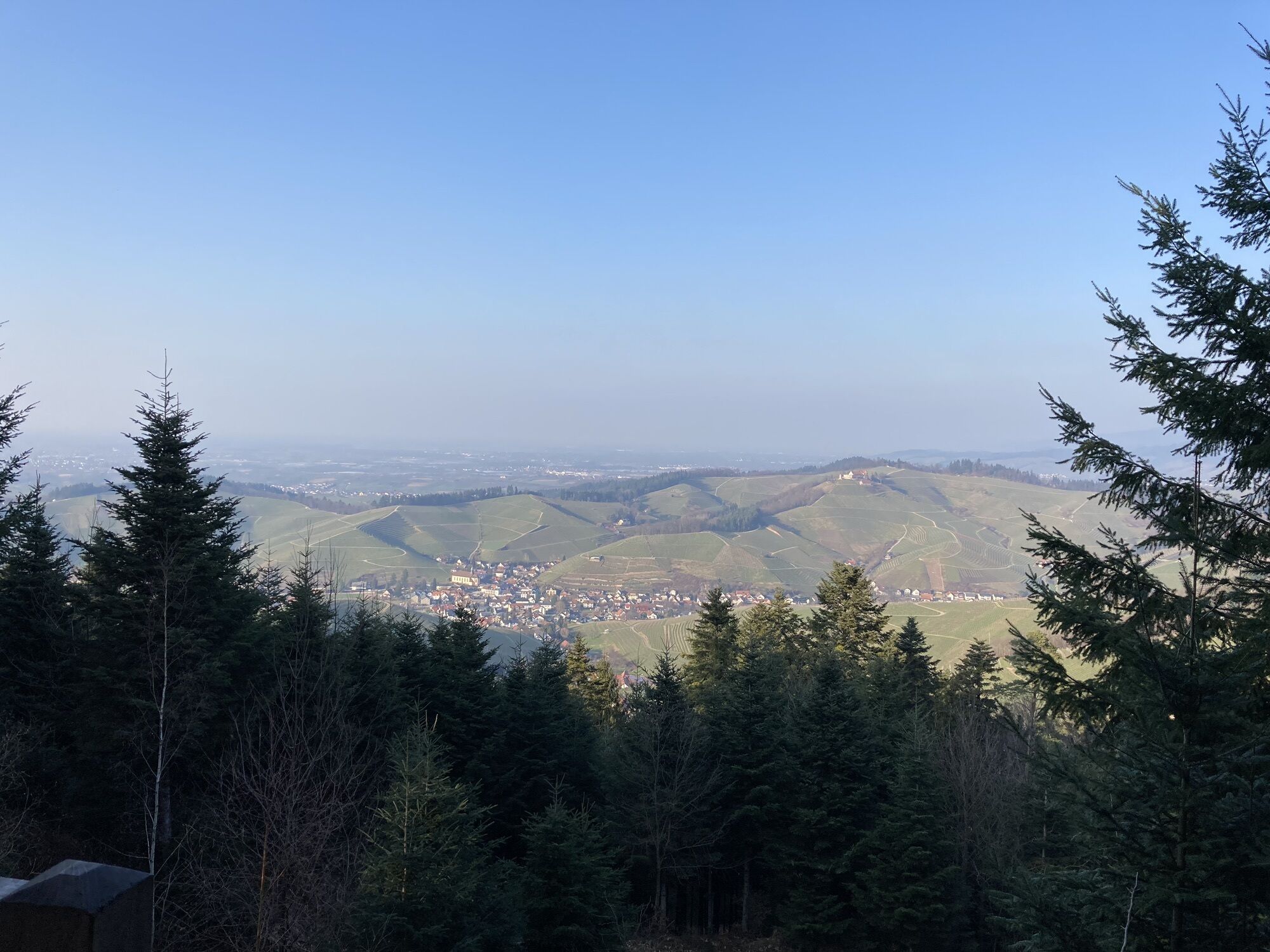
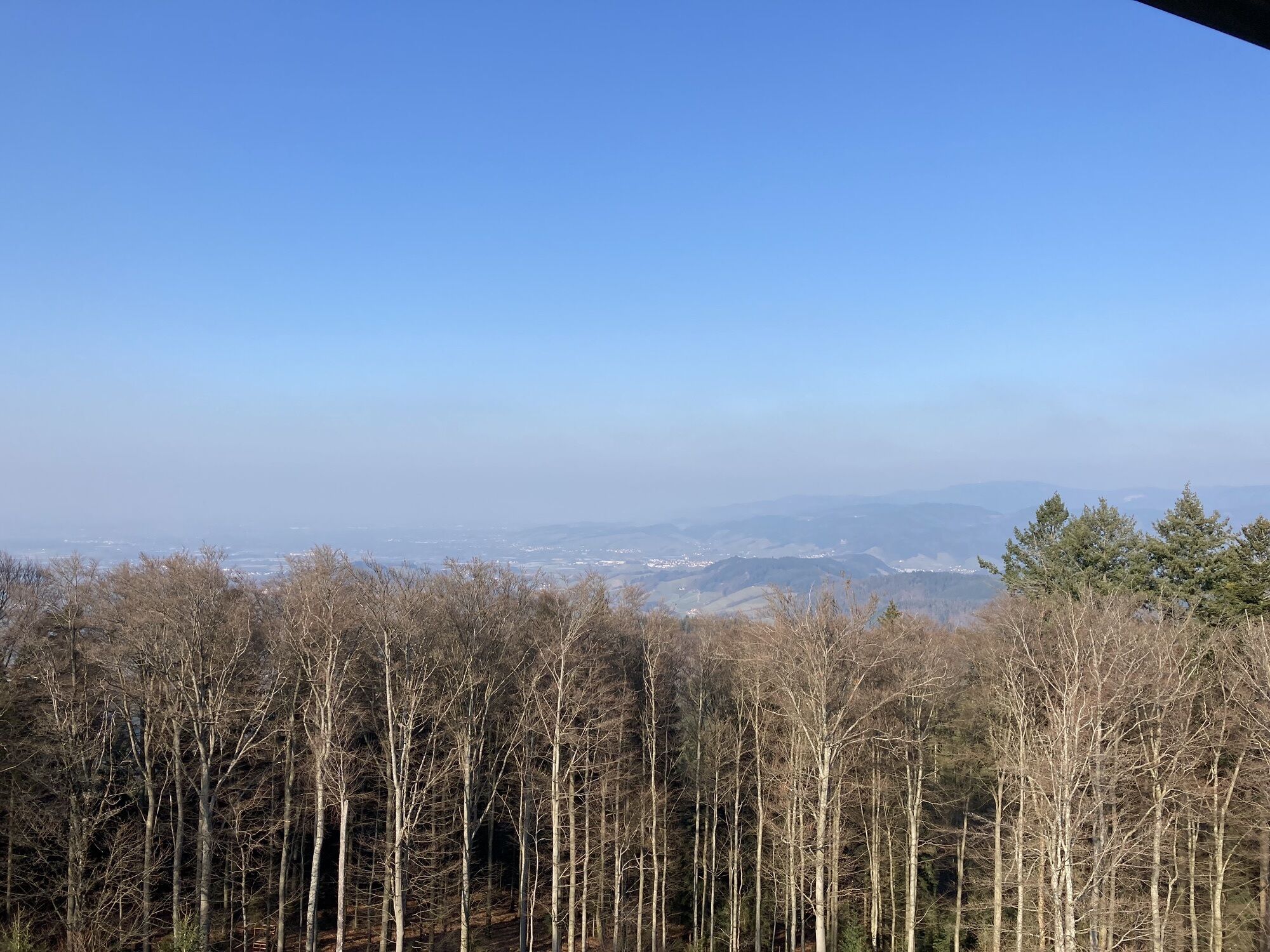
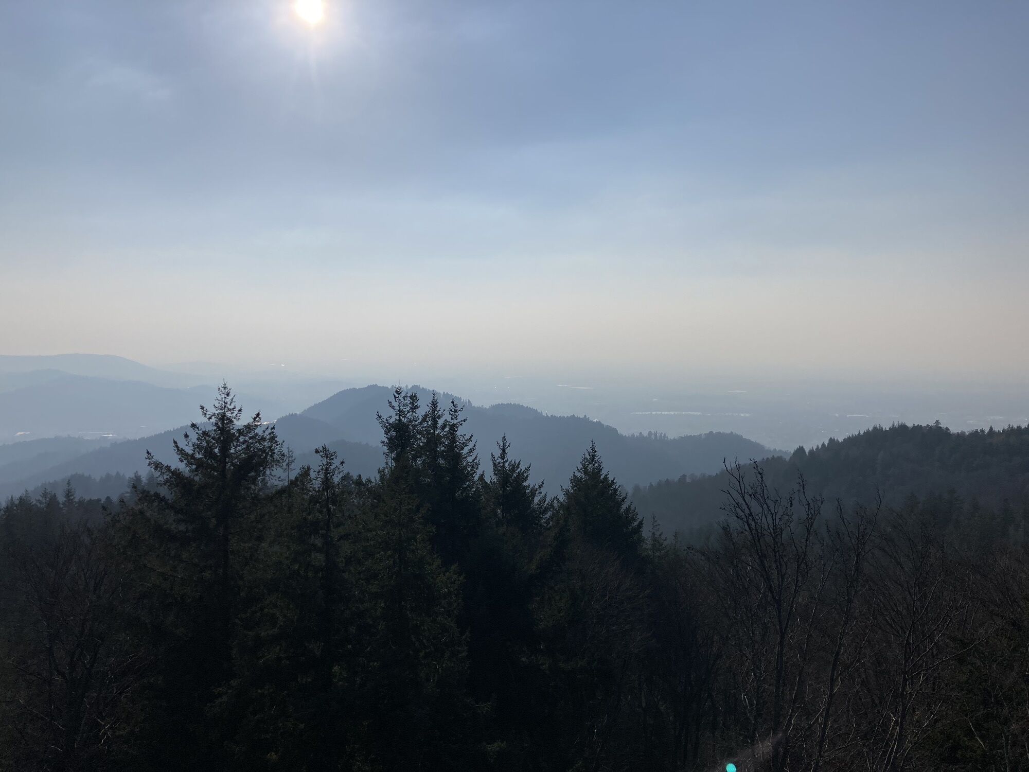
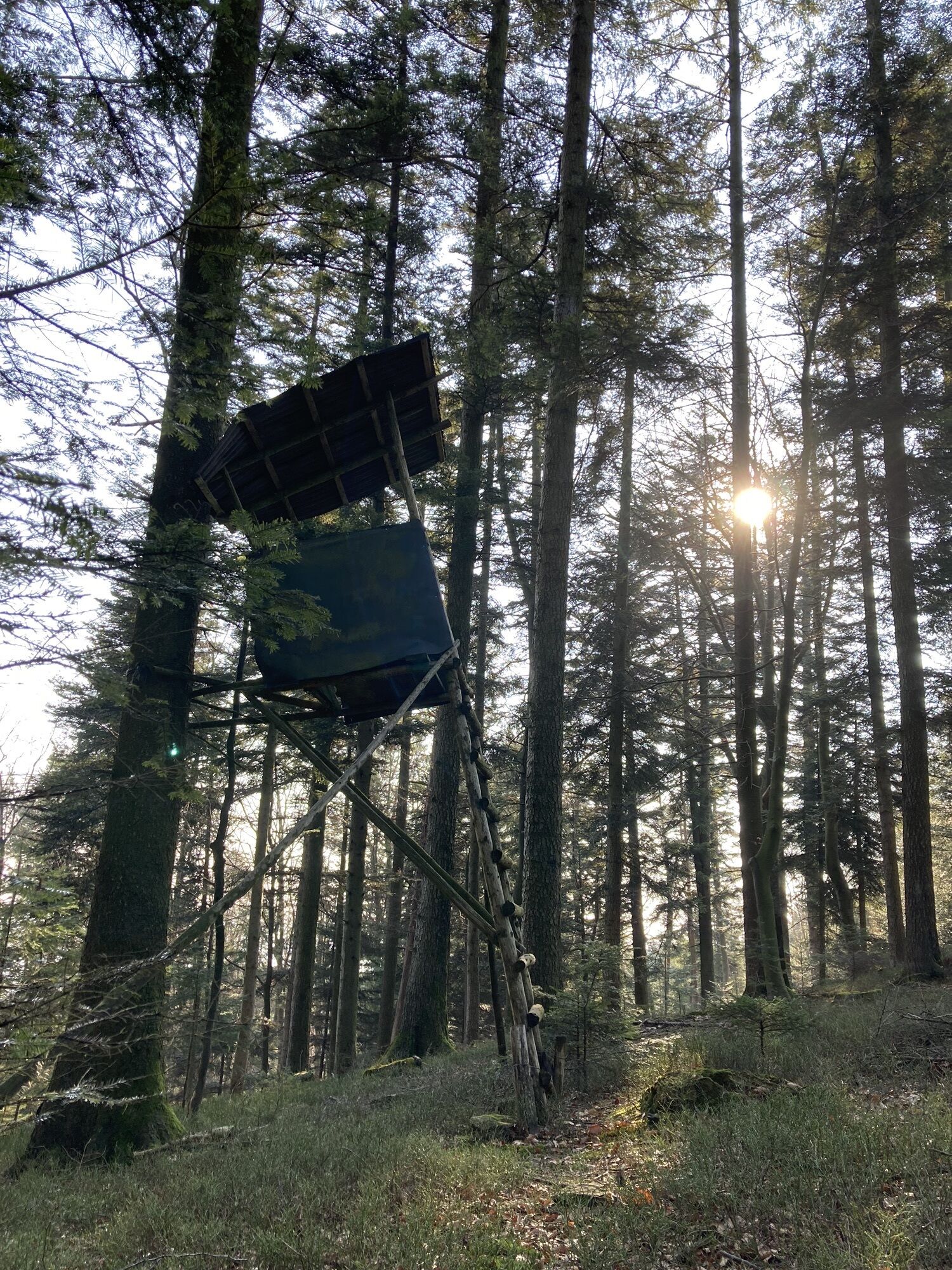
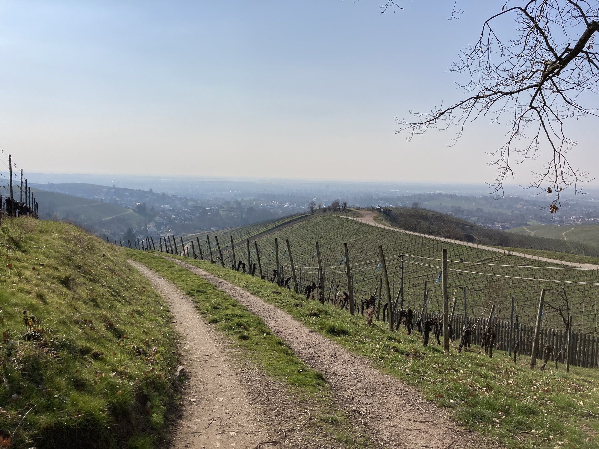
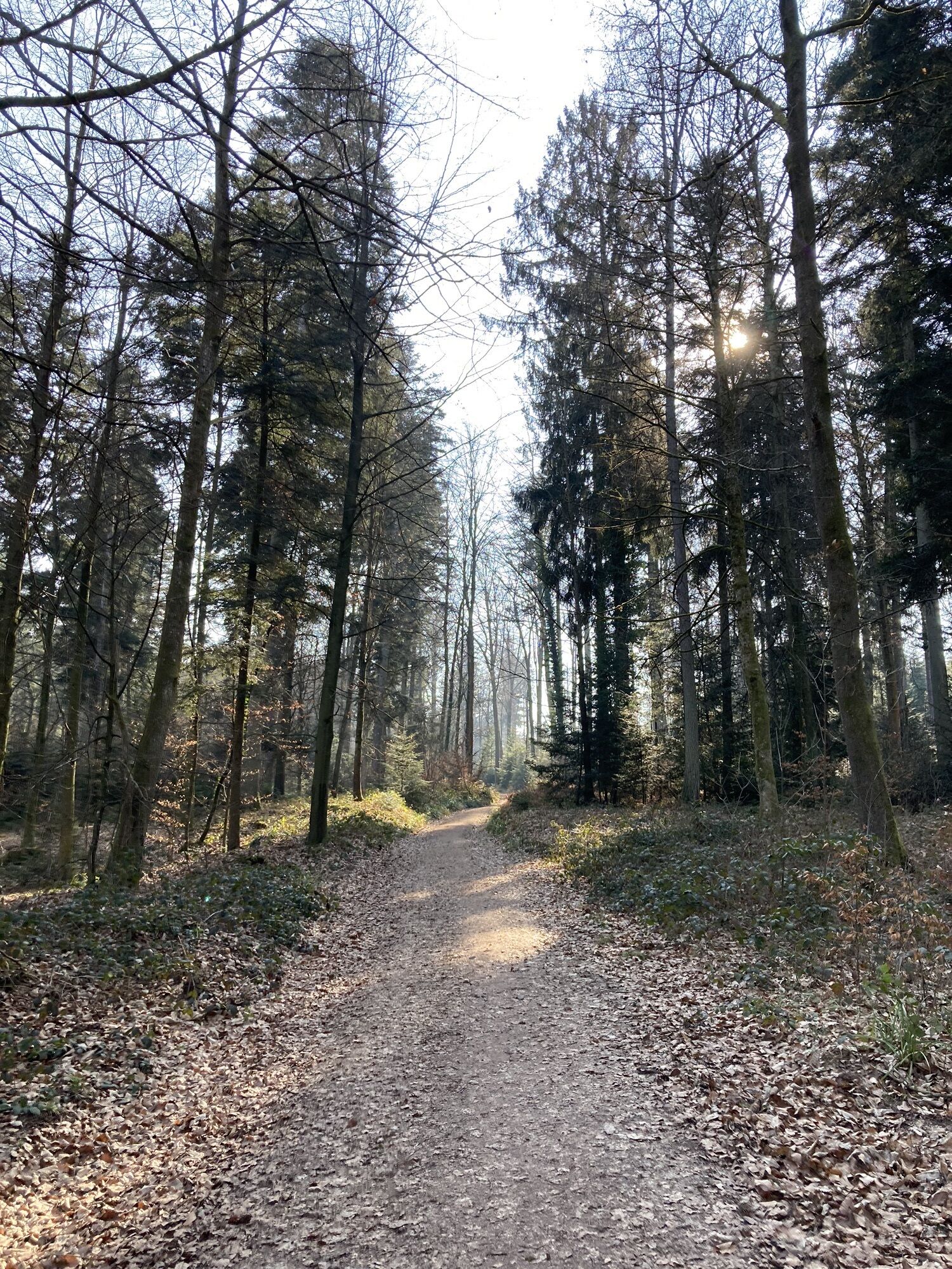
Photos from our users
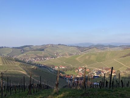
 © Björn GramppCreated on 01.03.2023
 © Björn GramppCreated on 01.03.2023
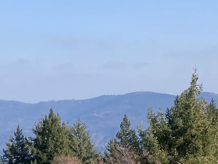 © Björn GramppCreated on 01.03.2023
 © Björn GramppCreated on 01.03.2023
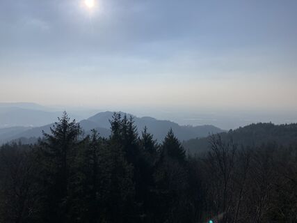 © Björn GramppCreated on 01.03.2023
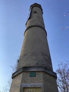 © Björn GramppCreated on 01.03.2023
 © Björn GramppCreated on 01.03.2023
 © Björn GramppCreated on 01.03.2023
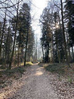 © Björn GramppCreated on 01.03.2023
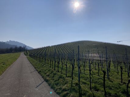 © Björn GramppCreated on 01.03.2023


Route
Weingarten Kirche St. Philippus und Jakobus
(187 m)
Place of worship
2,8 km
Zell-Weierbach
(218 m)
Neighbourhood
5,2 km
Kapelle an der Schleif
(241 m)
Place of worship
5,3 km
Brandeckkopf
(686 m)
Summit
10,1 km
Schönstatt Kapelle
(260 m)
Place of worship
15,2 km
Urbanskapelle
(222 m)
Place of worship
16,4 km
Evangelische Stadtkirche
(166 m)
Place of worship
21,2 km
Route
Offenburg - Weingarten Kirche St. Philippus und Jakobus - Brandeckkopf - St. Andreas
heavy
Hiking
21,67
km
Offenburg
(163 m)
City
0,1 km
St. Andreas
(169 m)
Place of worship
0,1 km
Weingarten Kirche St. Philippus und Jakobus
(187 m)
Place of worship
2,8 km
Toter Otto
(226 m)
Picnic table
4,0 km
Zeller Brugg
(201 m)
Restaurant
4,4 km
Donna Selvatica
(201 m)
Restaurant
4,4 km
Erhardt's Orchidee
(202 m)
Restaurant
4,4 km
Zell-Weierbach
(218 m)
Neighbourhood
5,2 km
Kapelle an der Schleif
(241 m)
Place of worship
5,3 km
Hasengrund
(235 m)
Neighbourhood
5,5 km
Bergwachtbrunnen
(555 m)
Source
8,8 km
Fritscheneck
(565 m)
Corridor/terrain
9,0 km
Wurzelwegbrunnen
(566 m)
Source
9,1 km
Rohrweiherbrunnen
(625 m)
Source
9,6 km
Brandeckkopf
(686 m)
Summit
10,1 km
Absaloms Grab
(638 m)
Corridor/terrain
10,5 km
Zeller Brunnen
(538 m)
Source
11,9 km
Schützenhaus Wolfsgrube
(316 m)
Restaurant
13,8 km
Wolfsgrube
(314 m)
Corridor/terrain
13,9 km
Schönstatt Kapelle
(260 m)
Place of worship
15,2 km
Urbanskapelle
(222 m)
Place of worship
16,4 km
Rammersweier
(177 m)
Neighbourhood
17,5 km
Lindenhöhe
(223 m)
Viewpoint
18,6 km
Evangelische Stadtkirche
(166 m)
Place of worship
21,2 km
Offenburg
(163 m)
City
21,3 km
St. Andreas
(169 m)
Place of worship
21,6 km
No reviews yet
Popular tours in the neighbourhood
- 4,7
Hahn und Henne Tour
mediumHiking15,0 km - 4,3
Lautenbacher Hexensteig
heavyHiking15,3 km - 4,8
Genießerpfad - Hahn-und-Henne-Runde in Zell am Harmersbach (Premiumweg)
mediumThematic route14,0 km - 5,0
Lautenbacher Teufelsteig
mediumThematic route11,5 km German Timber-Frame Road: Haslach im Kinzigtal – Sasbachwalden
mediumCycling66,8 km- 4,5
Oberkircher Brennersteig
mediumHiking13,8 km Renchtal Radtour 3 - Genußtour durch das Renchtal
heavyCycling35,6 kmRenchen - Zur Schauenburg nach Oberkirch
mediumMountainbike27,8 kmHistorischer Stadtbummel in Oberkirch
lightHiking5,74 kmRenchtal - Literarischer Radweg Grimmelshausen
mediumCycling47,4 km
Hiking & Tracking

Over 550.000 tour suggestions, detailed maps and an intuitive route planner make the app a must-have for all nature enthusiasts.

Don't miss out on offers and inspiration for your next holiday
Subscribe to the newsletter
Error
An error has occurred. Please try again.Thank you for your registration
Your e-mail address has been added to the mailing list.
Tours throughout Europe
Austria Switzerland Germany Italy Slovenia France Netherlands Belgium Poland Liechtenstein Czechia Slovakia Spain Croatia Bosnia and Herzegovina Luxembourg Andorra Portugal Iceland United Kingdom Ireland Greece Albania North Macedonia Malta Norway Montenegro Moldova Kosovo Hungary San Marino Romania Estonia Latvia Belarus Cyprus Lithuania Serbia Bulgaria Monaco Denmark Sweden Finland