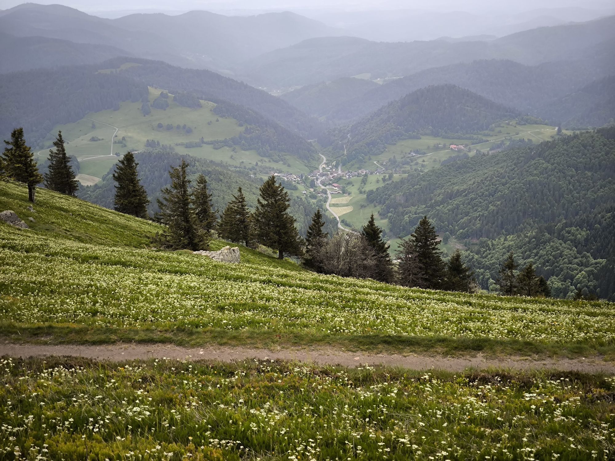
Wanderung Zell im Wiesental zum Belchen
heavy
Navigate
Navigate
Get this tour on your mobile
Wanderung Zell im Wiesental zum Belchen
heavy
Hiking
17,58
km
Scan the QR code and start navigation in the bergfex app

Hiking & Tracking


Distance
17,58
km
Duration
06:00
h
Ascent
1.240
m
Sea level
432 -
1.412
m
Track download
Wanderung Zell im Wiesental zum Belchen
heavy
Hiking
17,58
km


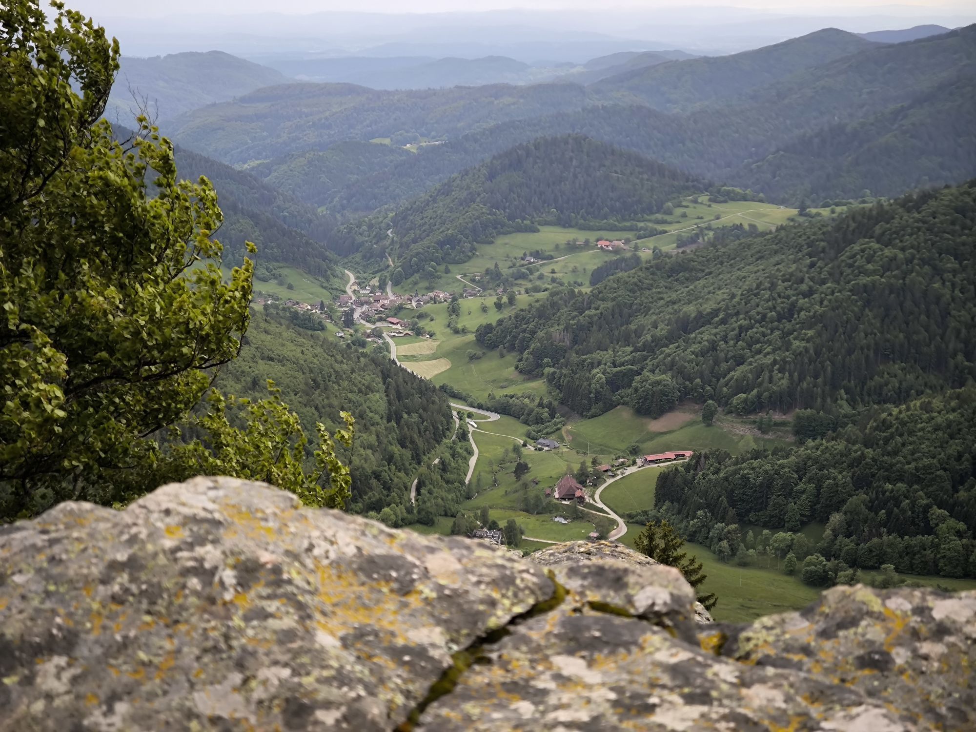
Photos from our users
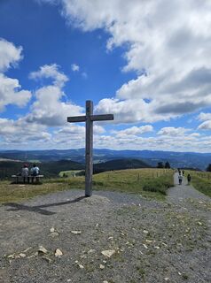
 © Andreas Schneider 7Created on 28.06.2025
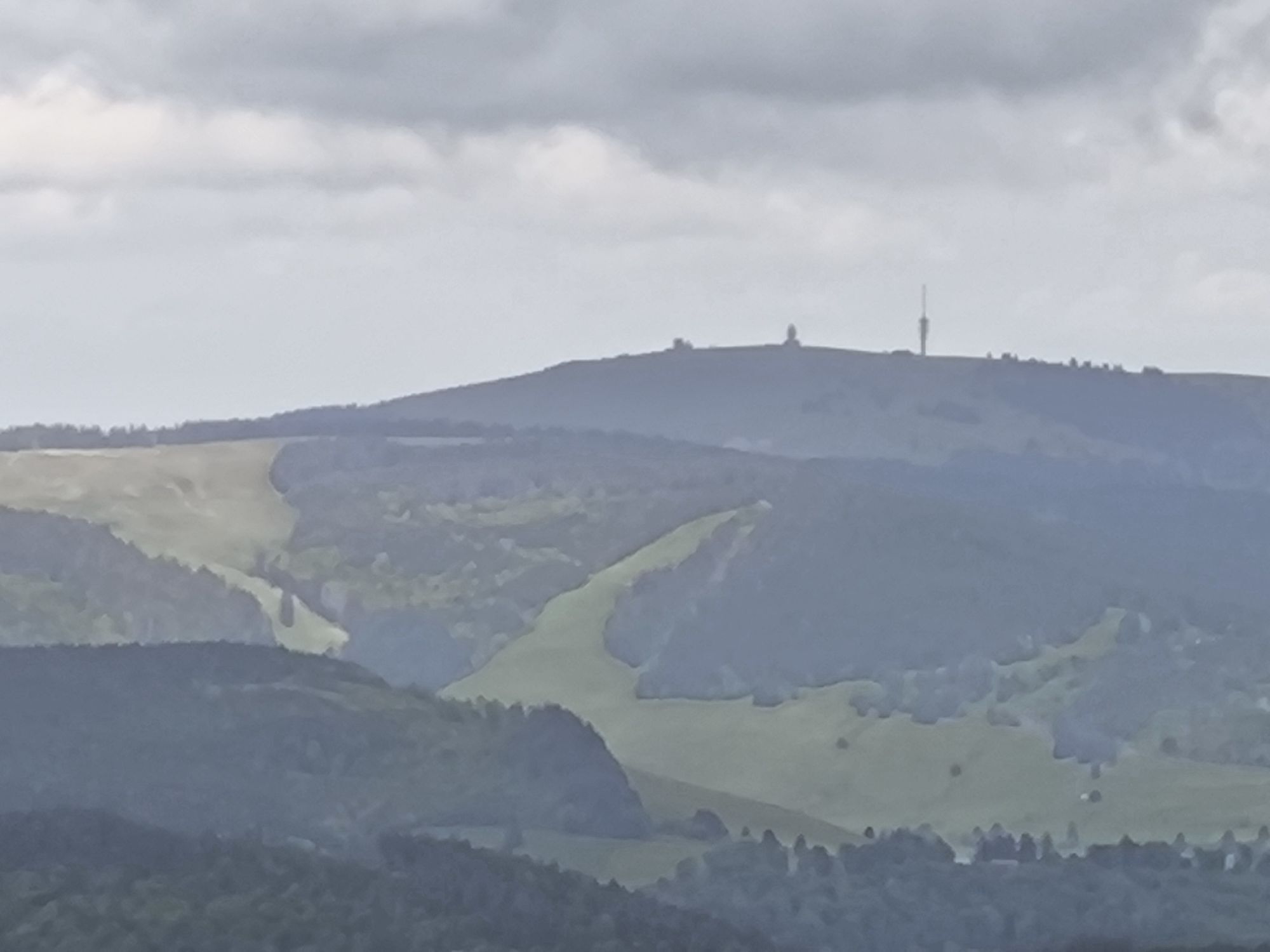
 © Dietmar Lüdenscheid ?Created on 05.06.2025
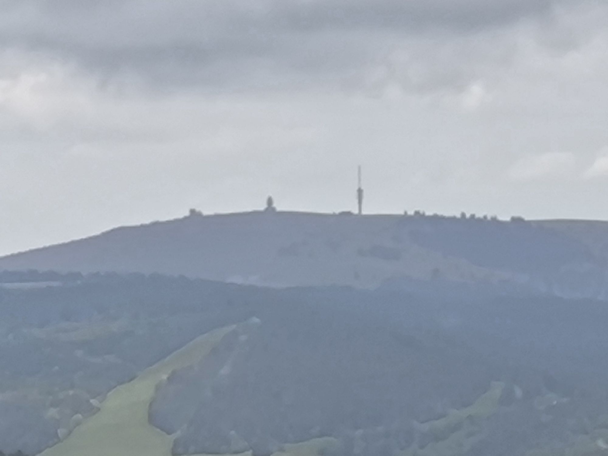
 © Dietmar Lüdenscheid ?Created on 25.05.2025
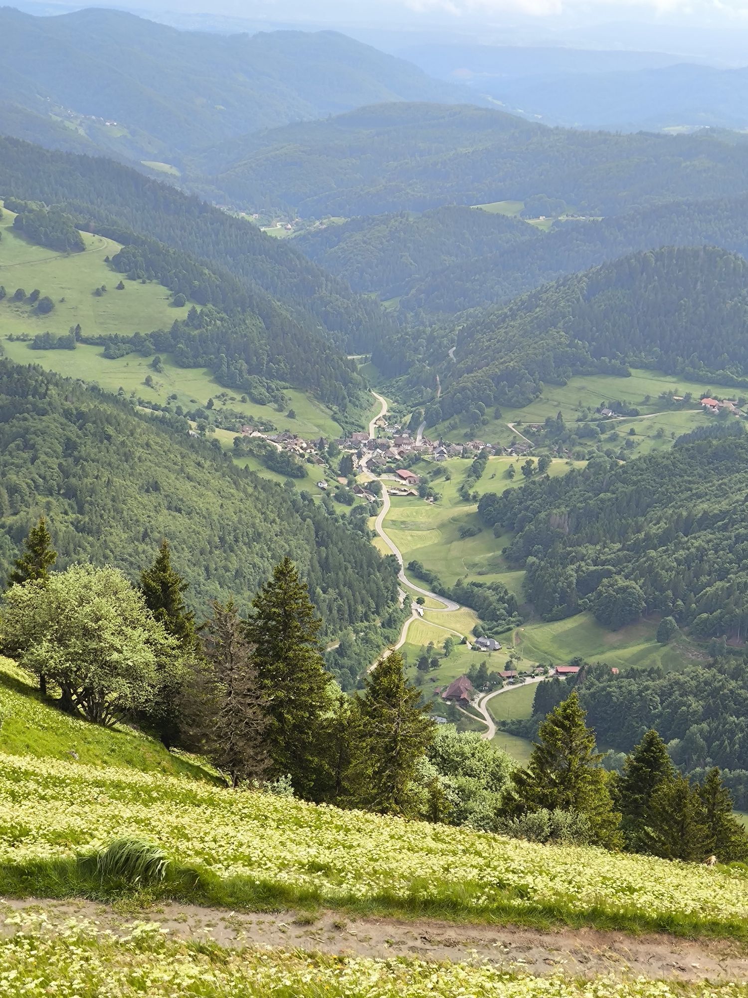
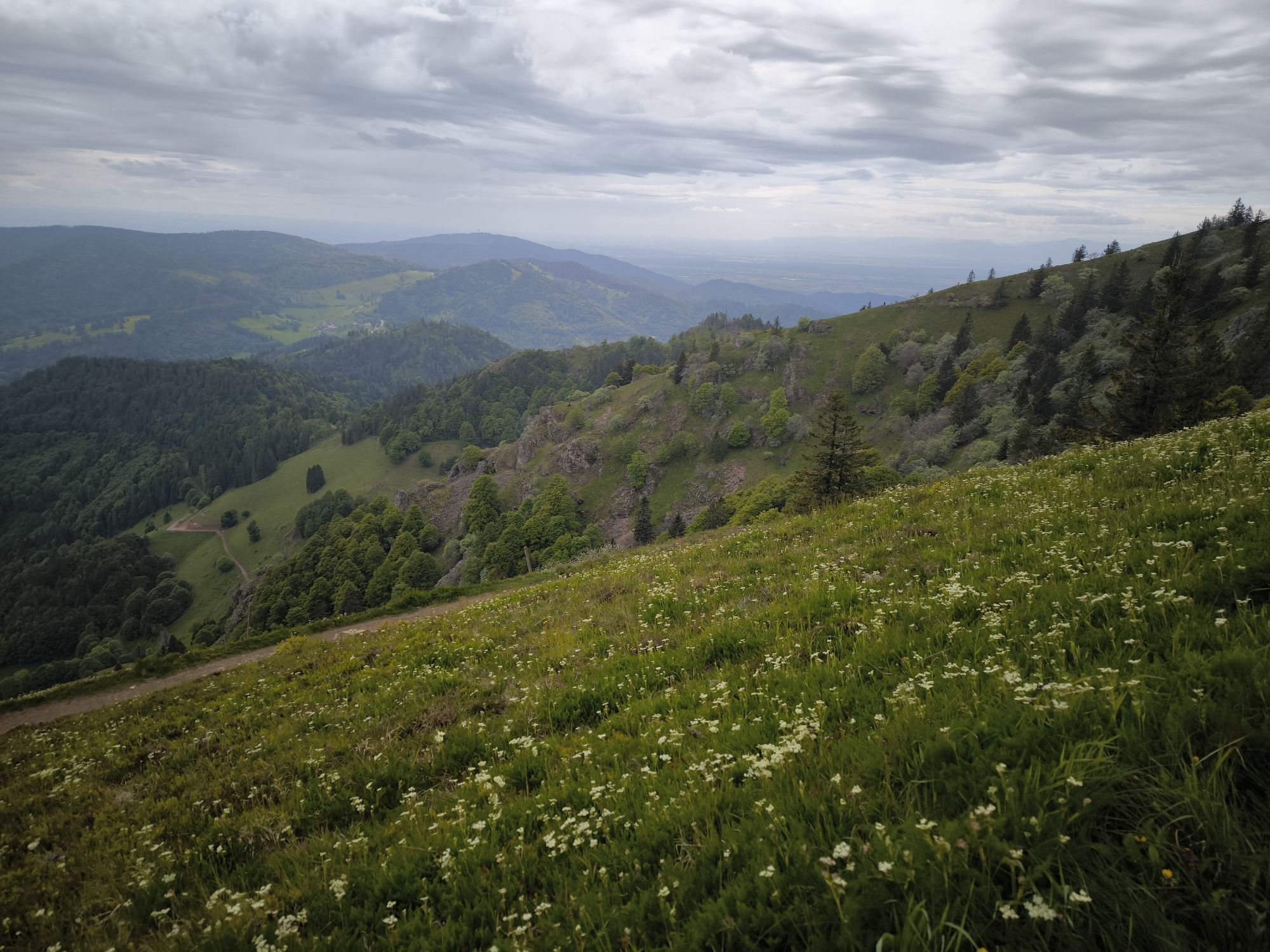
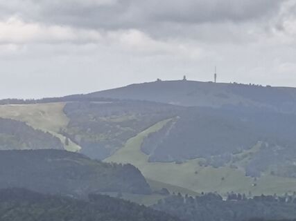 © Dietmar Lüdenscheid ?Created on 25.05.2025
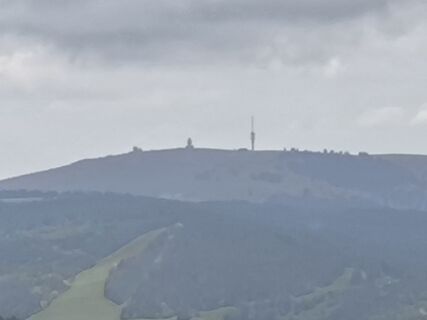 © Dietmar Lüdenscheid ?Created on 25.05.2025
 © Dietmar Lüdenscheid ?Created on 25.05.2025
 © Dietmar Lüdenscheid ?Created on 25.05.2025

Route
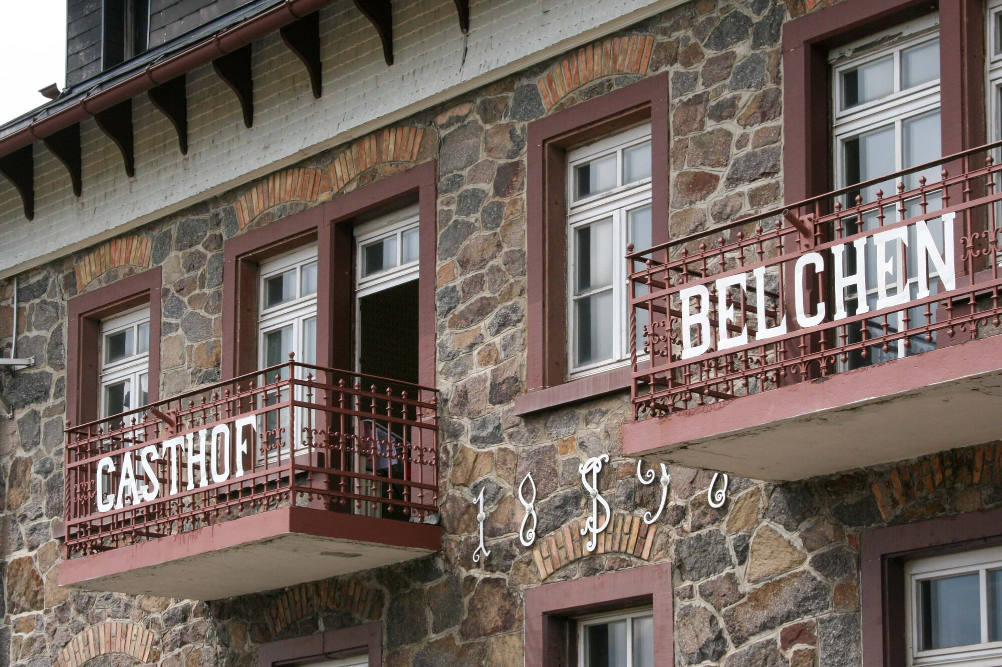
Evangelische Kirche Zell
(434 m)
Place of worship
0,0 km
Pizzeria Escopazzo
(438 m)
Restaurant
0,1 km
Katholische Kirche St. Fridolin
(446 m)
Place of worship
0,4 km
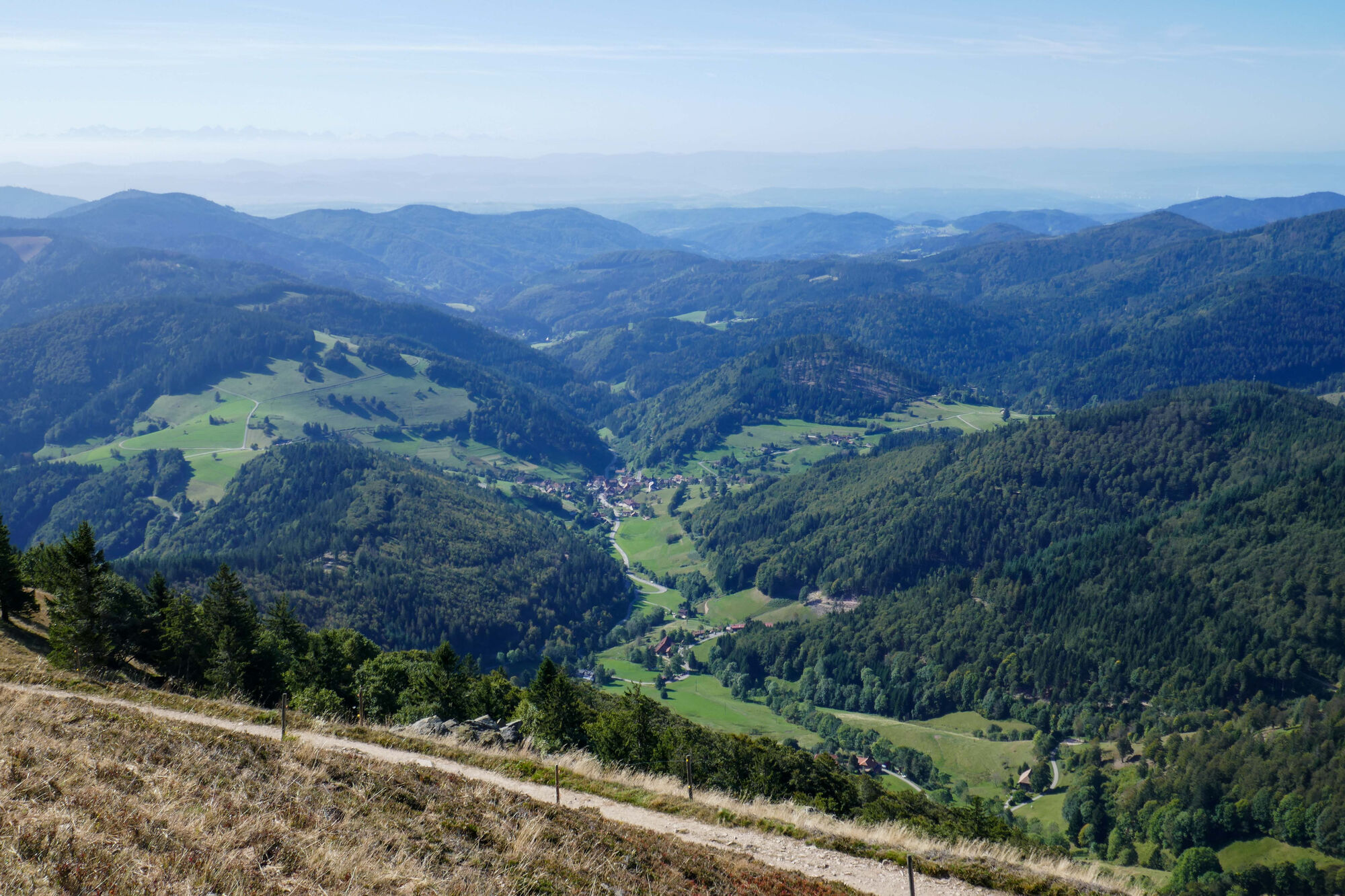
Entrenchments
(874 m)
Viewpoint
11,9 km
Böllener Eck
(1.012 m)
Corridor/terrain
14,3 km
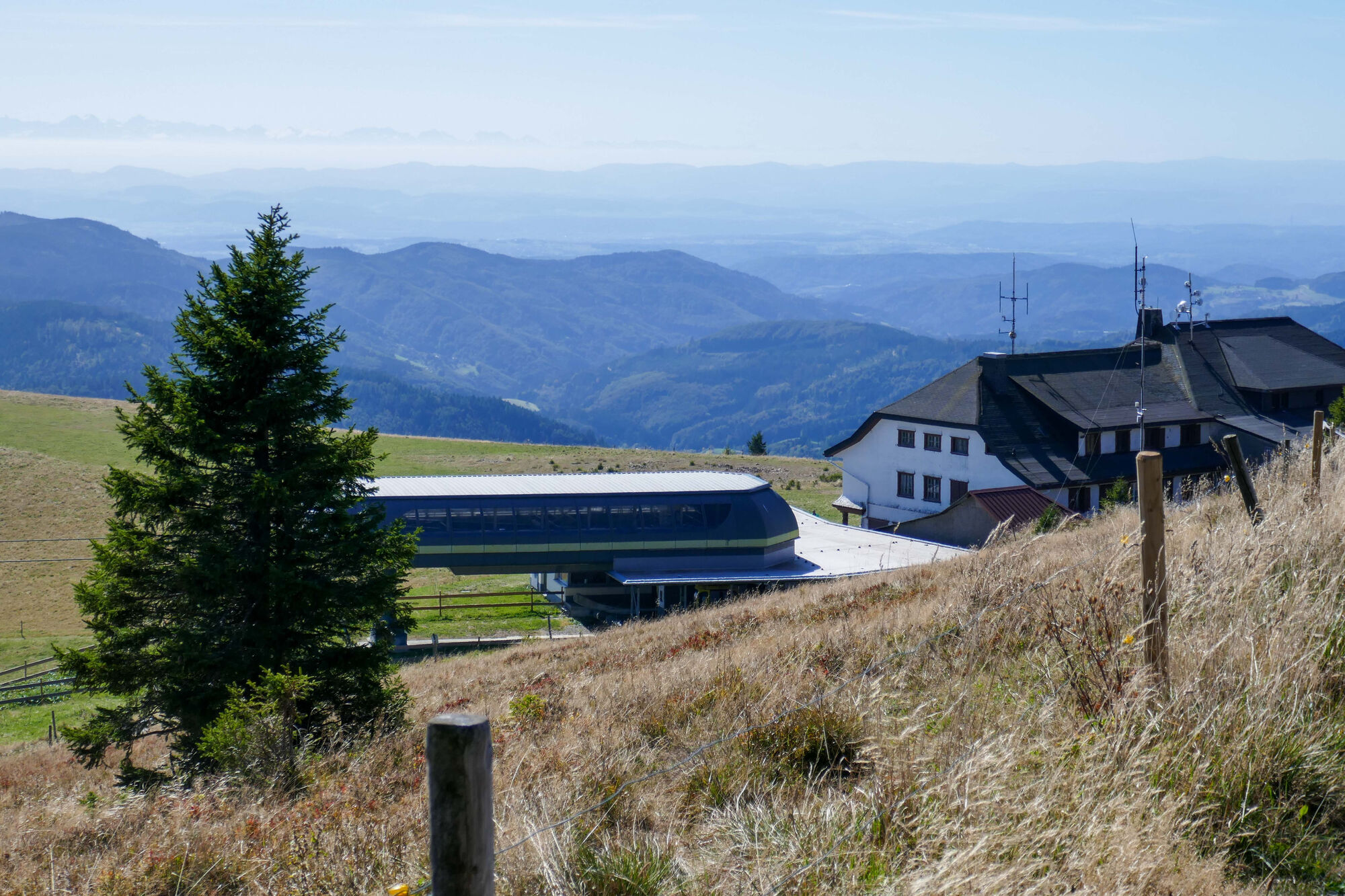
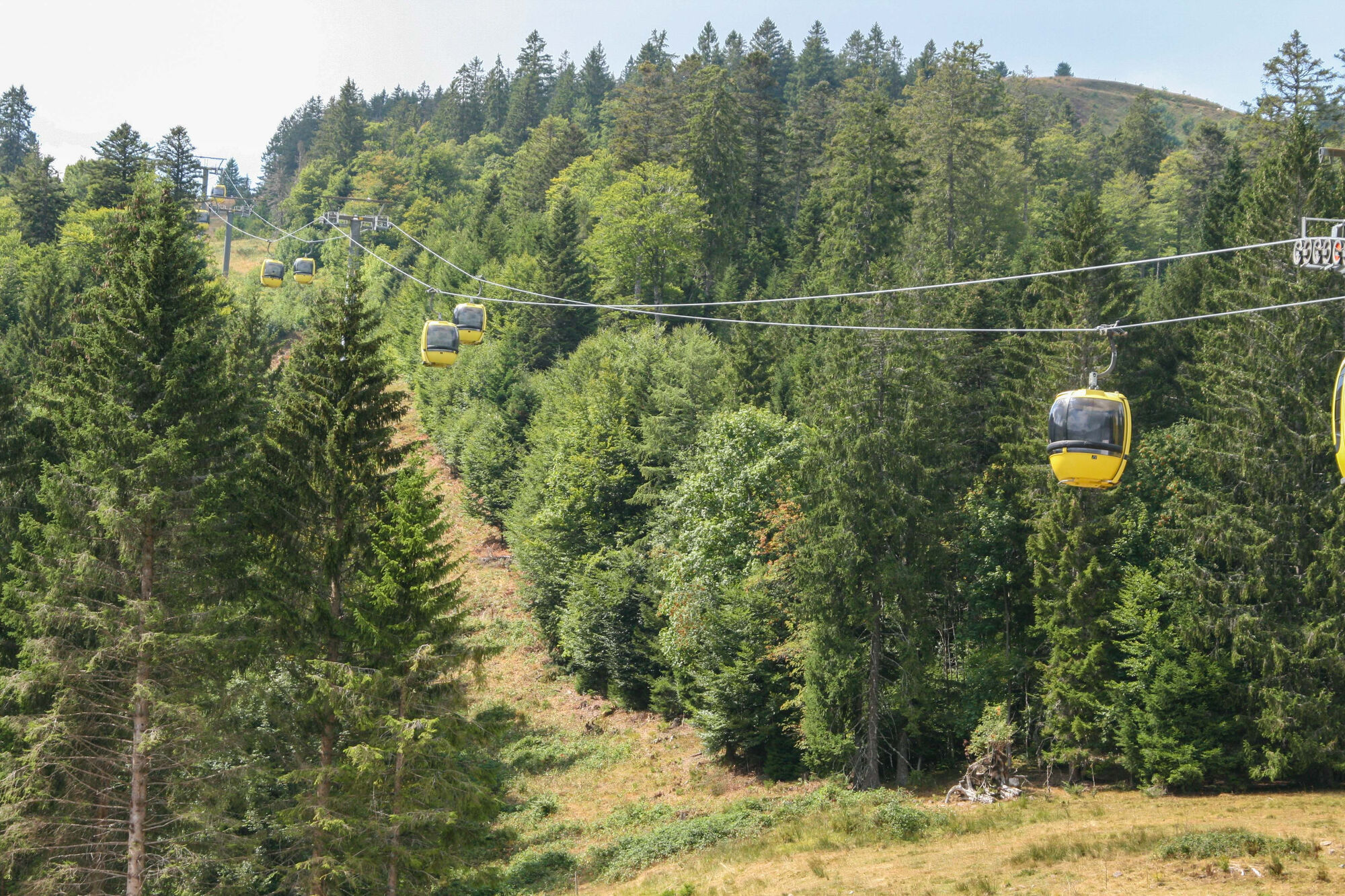
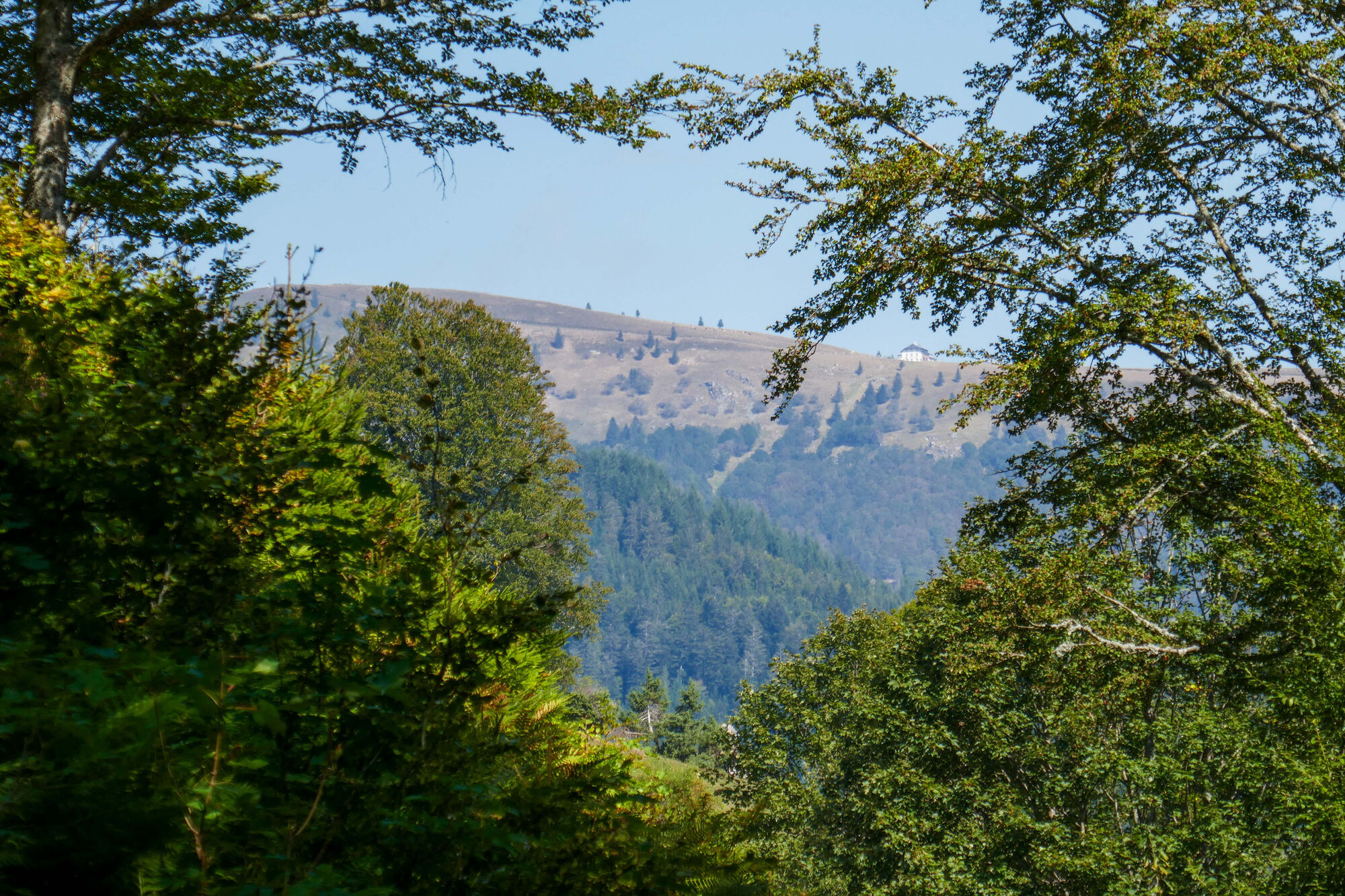
Belchenhaus
(1.358 m)
Restaurant
17,0 km
Belchen
(1.414 m)
Summit
17,5 km
Route
Wanderung Zell im Wiesental zum Belchen
heavy
Hiking
17,58
km
Evangelische Kirche Zell
(434 m)
Place of worship
0,0 km
Zell im Wiesental
(431 m)
City
0,0 km
Hotel Löwen
(438 m)
Restaurant
0,1 km
Pizzeria Escopazzo
(438 m)
Restaurant
0,1 km
Katholische Kirche St. Fridolin
(446 m)
Place of worship
0,4 km
Käsern
(845 m)
Settlement
5,3 km
Entrenchments
(874 m)
Viewpoint
11,9 km
View on the entrenchments
(874 m)
Viewpoint
11,9 km
Böllener Eck
(1.012 m)
Corridor/terrain
14,3 km
Hohfelsen
(1.268 m)
Viewpoint
15,8 km
Belchenhaus
(1.358 m)
Restaurant
17,0 km
Belchen
(1.414 m)
Summit
17,5 km
Arrival information
Arrival
Mit der Bahn:
Bahnhof Zell im Wiesental
Linie S 6 der Regio-S-Bahn (Betreiber SBB) fährt täglich von Basel (SBB über Badischer Bahnhof) nach Zell im Wiesental und zurück.
www.efa-bw.de
Mit dem Bus:
Bahnhof Zell im Wiesental
Buslinie 7300 von Titisee/Feldberg/Todtnau kommend.
No reviews yet
Popular tours in the neighbourhood
- 4,2
Belchensteig
mediumHiking14,8 km - 4,5
Genießerpfad Belchensteig (Deutschlands schönster Wanderweg 2020)
heavyHiking15,2 km - 5,0
Belchen Talstation hin und zurück
lightHiking5,91 km - 4,7
Todtmoos – Wanderung: Genießerpfad Lebküchlerweg
mediumHiking12,8 km - 4,7
Bernau im Schwarzwald: Zauberwald-Pfad
lightThematic route2,41 km - 4,5
Wieden - Hotel-Restaurant "Belchen-Multen" - Belchen - Untermünstertal
heavyHiking15,4 km - 4,5
Heissbachklamm
mediumHiking6,50 km Martin Heidegger Rundweg
lightHiking6,09 km- 4,0
Belchen für Geniesser
mediumHiking13,3 km - 5,0
Nonnenmatt
mediumHiking9,80 km
Hiking & Tracking

Over 550.000 tour suggestions, detailed maps and an intuitive route planner make the app a must-have for all nature enthusiasts.

Don't miss out on offers and inspiration for your next holiday
Subscribe to the newsletter
Error
An error has occurred. Please try again.Thank you for your registration
Your e-mail address has been added to the mailing list.
Tours throughout Europe
Austria Switzerland Germany Italy Slovenia France Netherlands Belgium Poland Liechtenstein Czechia Slovakia Spain Croatia Bosnia and Herzegovina Luxembourg Andorra Portugal Iceland United Kingdom Ireland Greece Albania North Macedonia Malta Norway Montenegro Moldova Kosovo Hungary San Marino Romania Estonia Latvia Belarus Cyprus Lithuania Serbia Bulgaria Monaco Denmark Sweden Finland