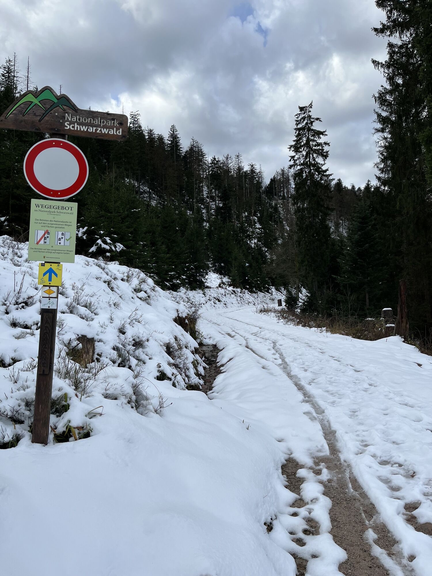
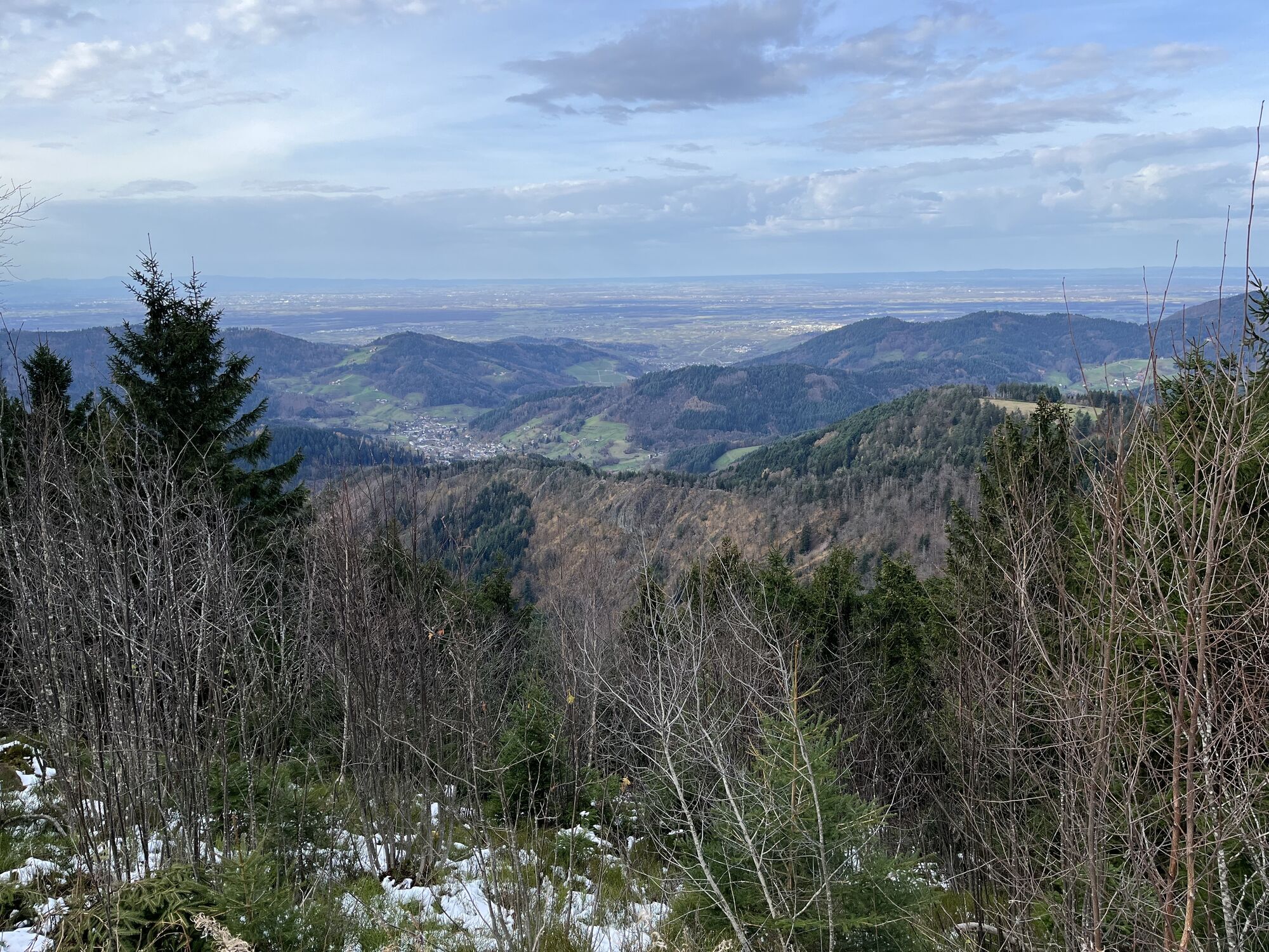
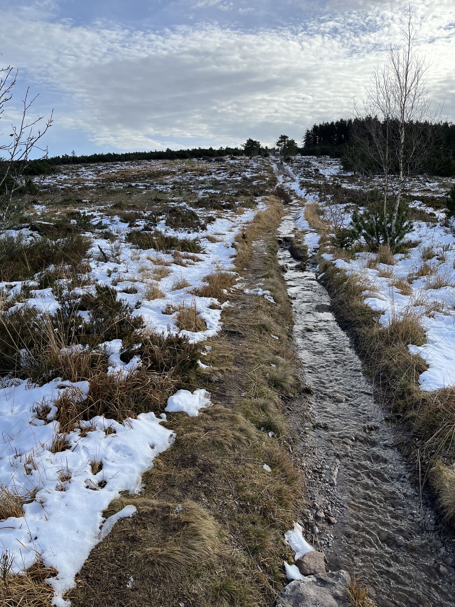
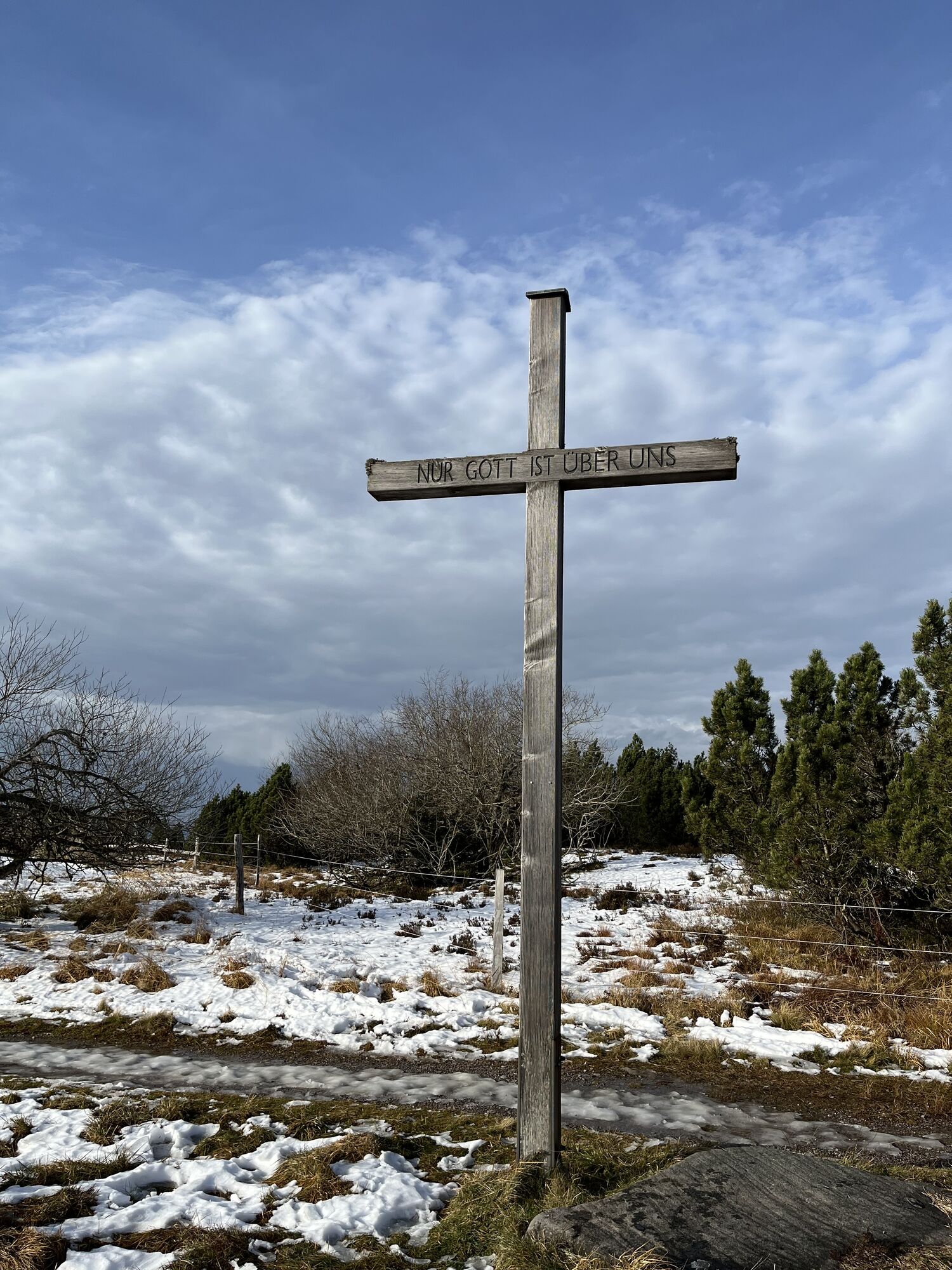
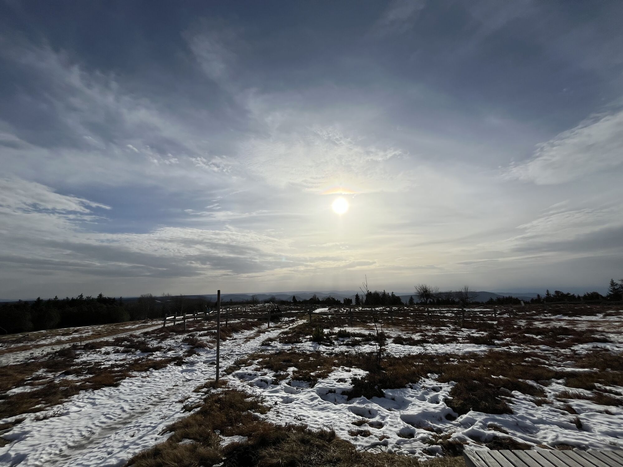
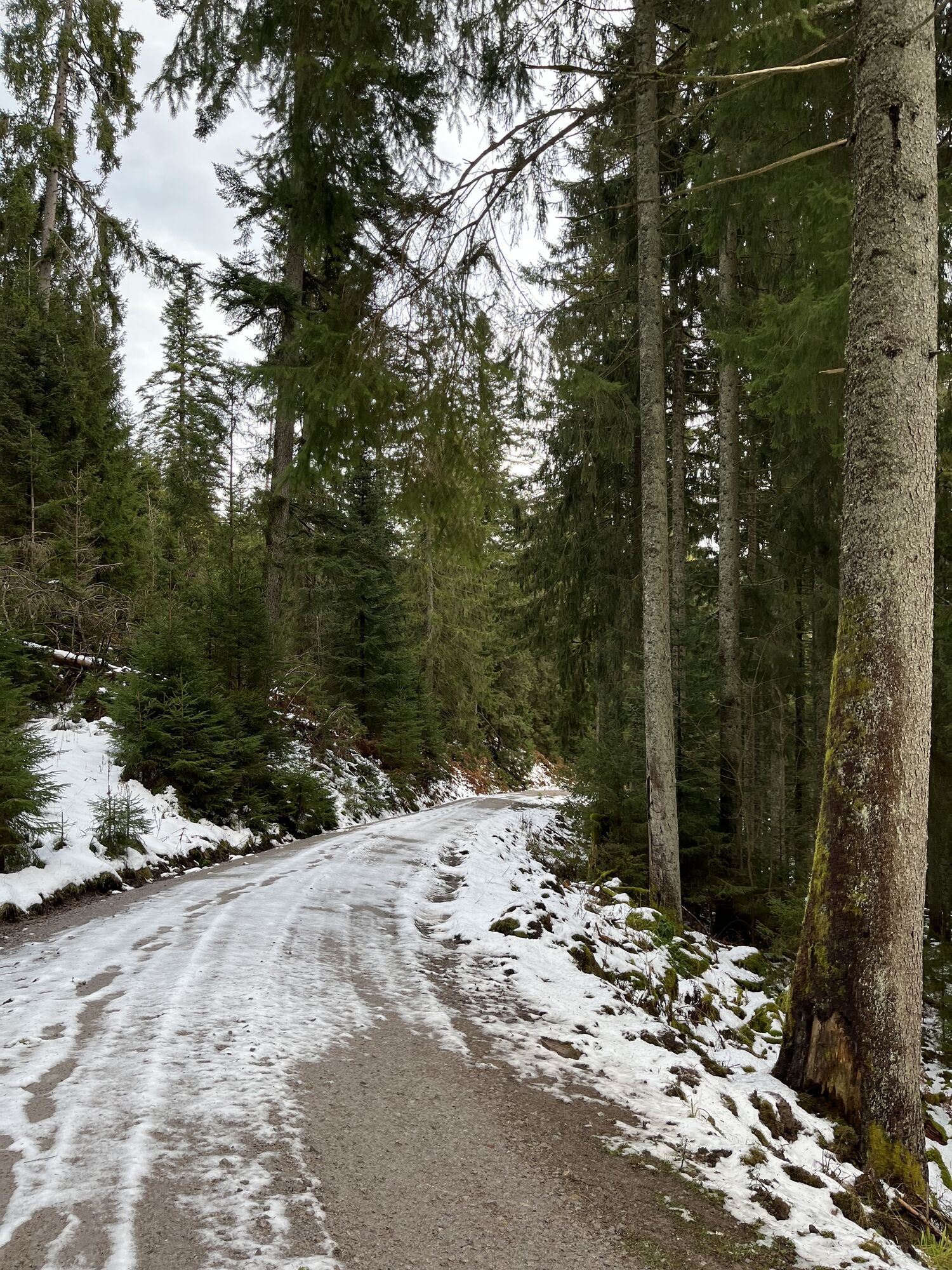
Ruhestein - Schliffkopf
medium
Navigate
Navigate
Get this tour on your mobile
Ruhestein - Schliffkopf
medium
Hiking
16.67
km
Scan the QR code and start navigation in the bergfex app

Hiking & Tracking


Distance
16.67
km
Duration
03:28
h
Ascent
427
m
Sea level
803 -
1,053
m
Track download
Ruhestein - Schliffkopf
medium
Hiking
16.67
km


Route
Sohlberg-Blick
(1,002 m)
Viewpoint
2.8 km
Melkereikopf
(1,016 m)
Summit
3.0 km
Schliffkopf
(1,055 m)
Summit
6.7 km
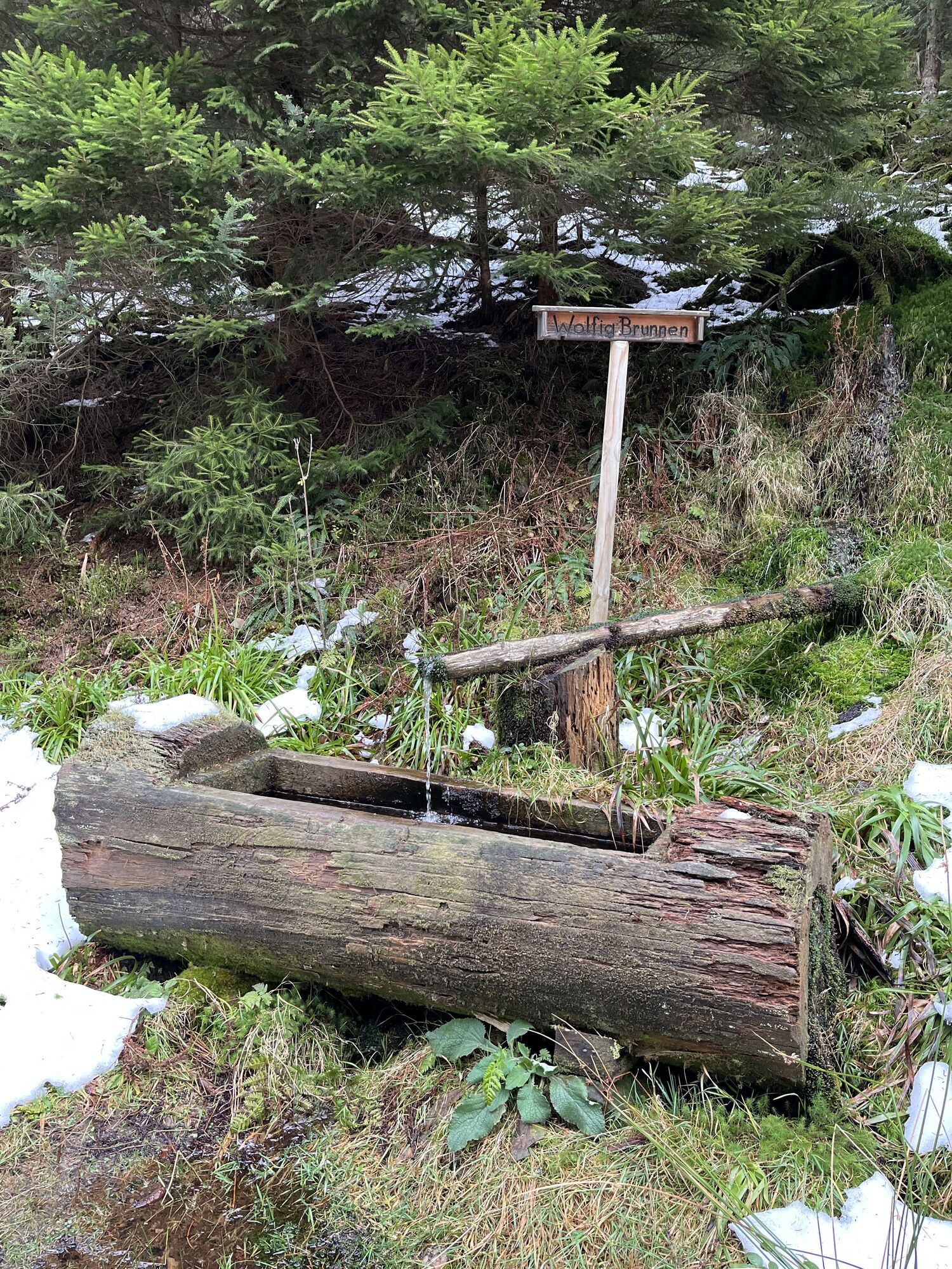
Wolfig-Brunnen
(894 m)
Source
11.7 km
Rotmurg-Brunnen
(896 m)
Source
16.0 km
Route
Ruhestein - Schliffkopf
medium
Hiking
16.67
km
Sohlberg-Blick
(1,002 m)
Viewpoint
2.8 km
Melkereikopf
(1,016 m)
Summit
3.0 km
Schliffkopf
(1,055 m)
Summit
6.7 km
Wolfig-Brunnen
(894 m)
Source
11.7 km
Rotmurg-Brunnen
(896 m)
Source
16.0 km

No reviews yet
Popular tours in the neighbourhood
- 4.0
Kniebiser Heimatpfad - Wandern mit Genuss
lightHiking9.07 km - 5.0
Naturgewalten-Tour
Hiking15.6 km - 4.0
Gertelbacher Wasserfälle
heavyHiking18 km - 5.0
Bannwald-Tour
Hiking13.3 km Kniebis-Sankenbachwasserfälle-Sankenbachsee
mediumHiking7.98 km- 4.5
Baiersbronn Sky Route: Bannwald Tour
heavyHiking13.2 km - 5.0
Schnapsbrunnenweg 1
lightHiking7.45 km - 4.2
Schnapsbrunnenweg 2
mediumHiking12.8 km Baiersbronn Sky Route: 2-Lake Route
heavyHiking19.9 km- 4.0
Seibelseckle Wildsee
mediumHiking13.0 km
Hiking & Tracking

Over 550.000 tour suggestions, detailed maps and an intuitive route planner make the app a must-have for all nature enthusiasts.

Don't miss out on offers and inspiration for your next holiday
Subscribe to the newsletter
Error
An error has occurred. Please try again.Thank you for your registration
Your e-mail address has been added to the mailing list.
Tours throughout Europe
Austria Switzerland Germany Italy Slovenia France Netherlands Belgium Poland Liechtenstein Czechia Slovakia Spain Croatia Bosnia and Herzegovina Luxembourg Andorra Portugal Iceland United Kingdom Ireland Greece Albania North Macedonia Malta Norway Montenegro Moldova Kosovo Hungary San Marino Romania Estonia Latvia Belarus Cyprus Lithuania Serbia Bulgaria Monaco Denmark Sweden Finland