


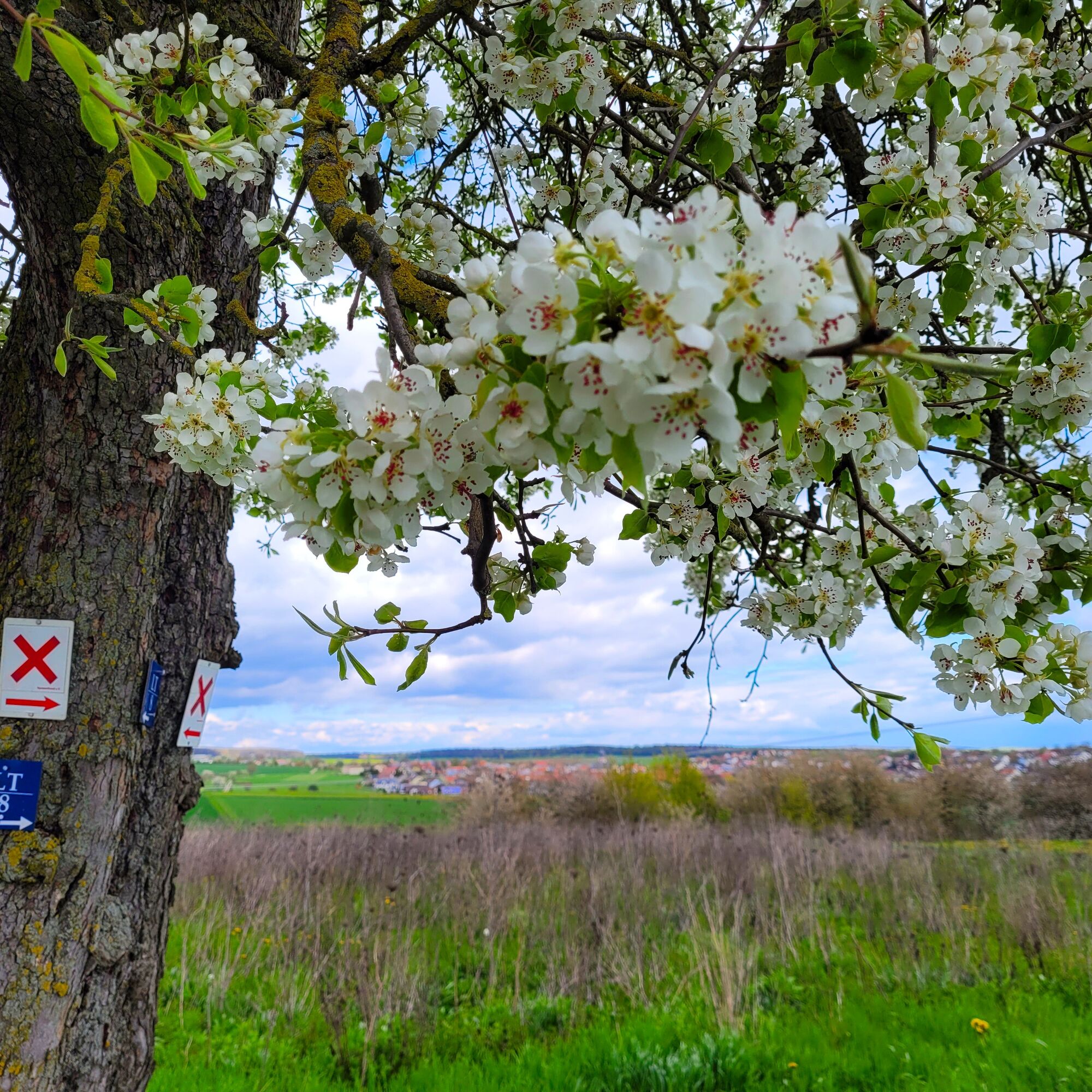
A hike filled with great views of the Tauber valley! Starting from Werbach, the varied hiking trail "LT 8" not only offers great views of some towns in the Main-Tauber district. On partly natural paths,...
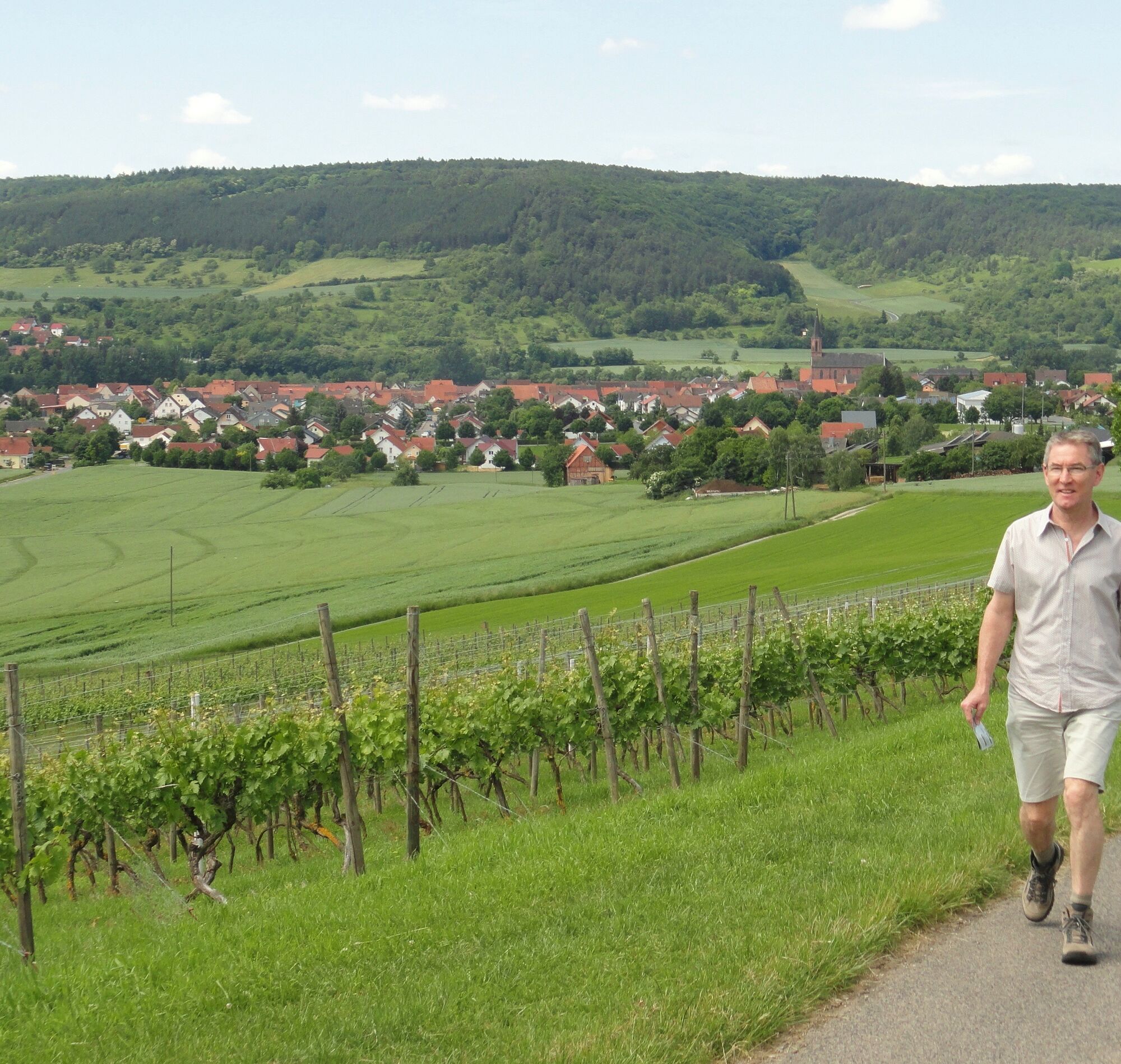
A hike filled with great views of the Tauber valley! Starting from Werbach, the varied hiking trail "LT 8" not only offers great views of some towns in the Main-Tauber district. On partly natural paths, you walk through the Lindenberg nature reserve - home to several orchid species - and cross the vineyards of Großrinderfeld.
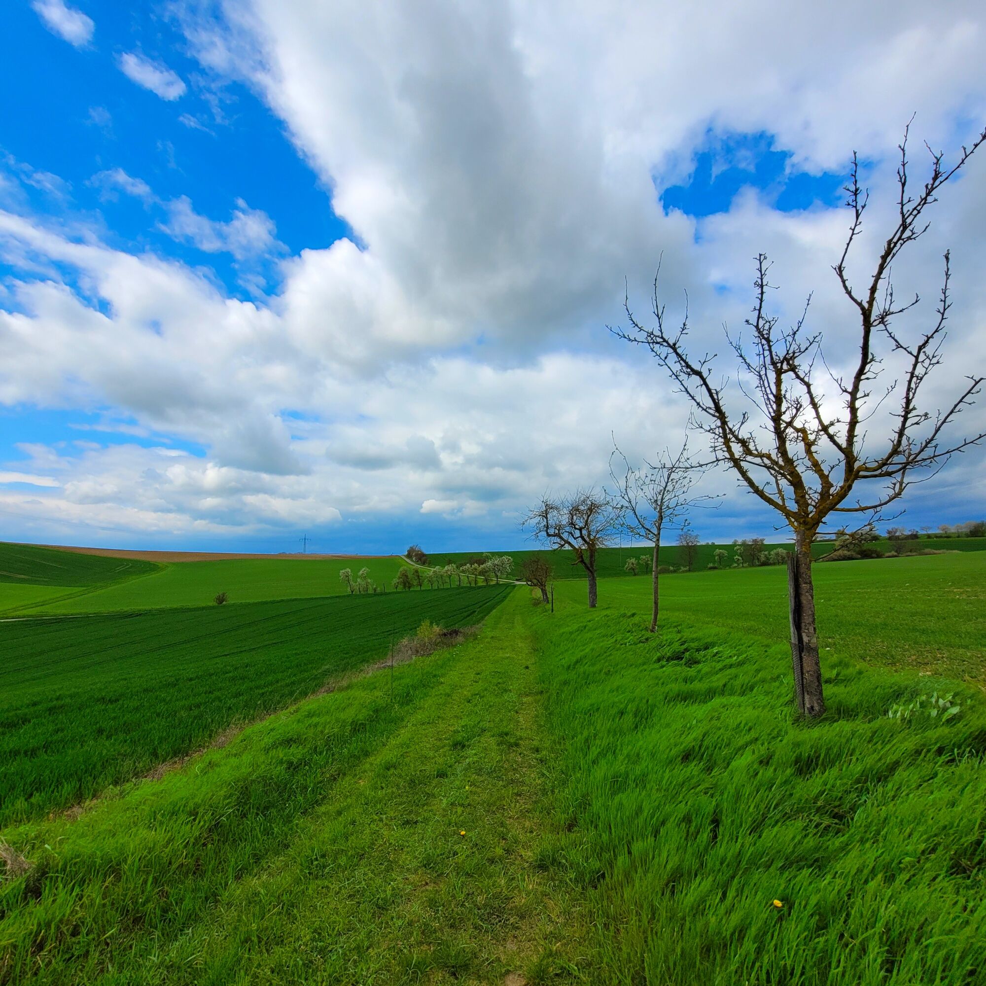
You start in the centre of Großrinderfeld and head straight towards fields, meadows, and forests with a wonderful panoramic view over the lower Tauber valley to the Spessart. It is worthwhile to take a close look at the surroundings. For example, in the forest, you have the idyllic, gently babbling Welzbach stream by your side. In the rest hut of the forest friends, you can refresh yourself with your provisions before you immerse yourself in the wonderful heathland of the Lindenberg nature reserve.
Before the route takes you back to Großrinderfeld, you can stroll up to the vineyards. Here, too, you enjoy top views.
Worth seeing:
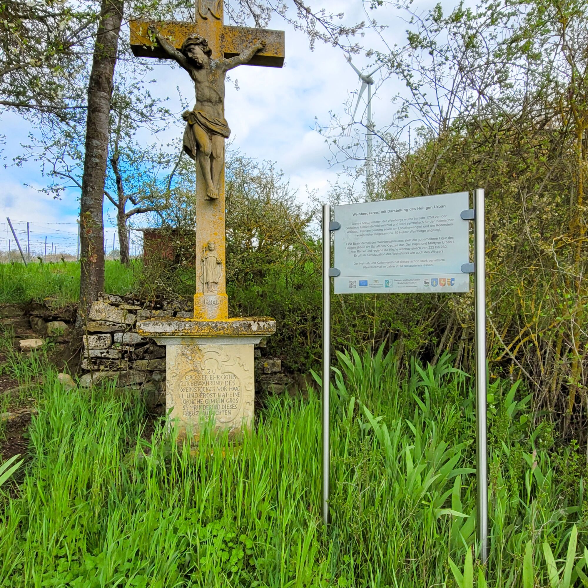
Großrinderfeld: Numerous wayside crosses and monuments; natural monument "Hungerbrunnen"
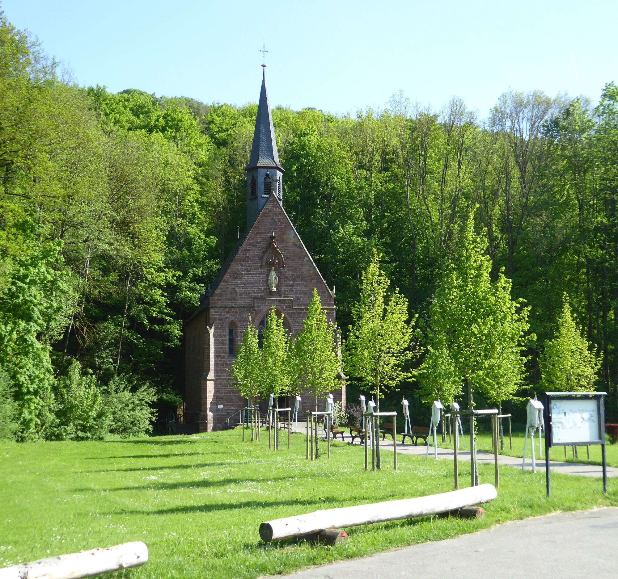
Werbach: Lindenberg nature reserve; church; rural village scene; Liebfrauenbrunn pilgrimage church


Distances LT 8:
Großrinderfeld – “Häusemer Berg”: 1.9 km
“Häusemer Berg” – Liebfrauenbrunn chapel: 4.0 km
Liebfrauenbrunn chapel – “Tauber viewpoint”: 2.0 km
“Tauber viewpoint” – Lindenberg nature reserve: 1.5 km
Lindenberg nature reserve – natural monument “Hungerbrunnen”: 1.1 km
Natural monument “Hungerbrunnen” – Großrinderfeld: 4.9 km
Sturdy footwear, rain protection, and provisions.
Coming via L 578 from the direction of Tauberbischofsheim or Würzburg.
For easy arrival and departure, the circular route starts and ends at the Großrinderfeld, village centre bus stop.
Please follow the local signage.
Yes
Discover this enchanting, quiet path and the Liebfrauenbrunn pilgrimage chapel!
Popular tours in the neighbourhood
- 5,0
LT 6 Water.Wine.Vastness.
mediumHiking10,7 km Main-Tauber-Fränkischer Rad-Achter: Ostring 11th stage
mediumCycling36,9 kmMain-Tauber-Fränkischer Rad-Achter: Westring 4. Etappe
lightCycling36,8 kmEuropean Cultural Trail: From the Castle Hall to the Monastery Shine - At the Holle Tree and Piper Hans
mediumHiking21,6 kmMain-Tauber-Franconian Rad-Achter: Ostring
heavyCycling222,8 km- 4,0
Rund um den Apfelberg
lightHiking8,18 km LT-M1 - On the Trail of the Cistercians
mediumHiking10,4 kmWertheim - Urphar - Wertheim
mediumHiking12,8 kmMain-Tauber cycling route
heavyCycling123,5 kmFour Chapels Route
mediumHiking14,2 km

Hiking & Tracking


Don't miss out on offers and inspiration for your next holiday
Your e-mail address has been added to the mailing list.