


The easy circular route leads past the former Cistercian monastery Herrenalb into the Lower Gaistal. Along the Rotenbächle to the Aschenhütte and via the Predigerweg back to the center of Bad Herrenalb.


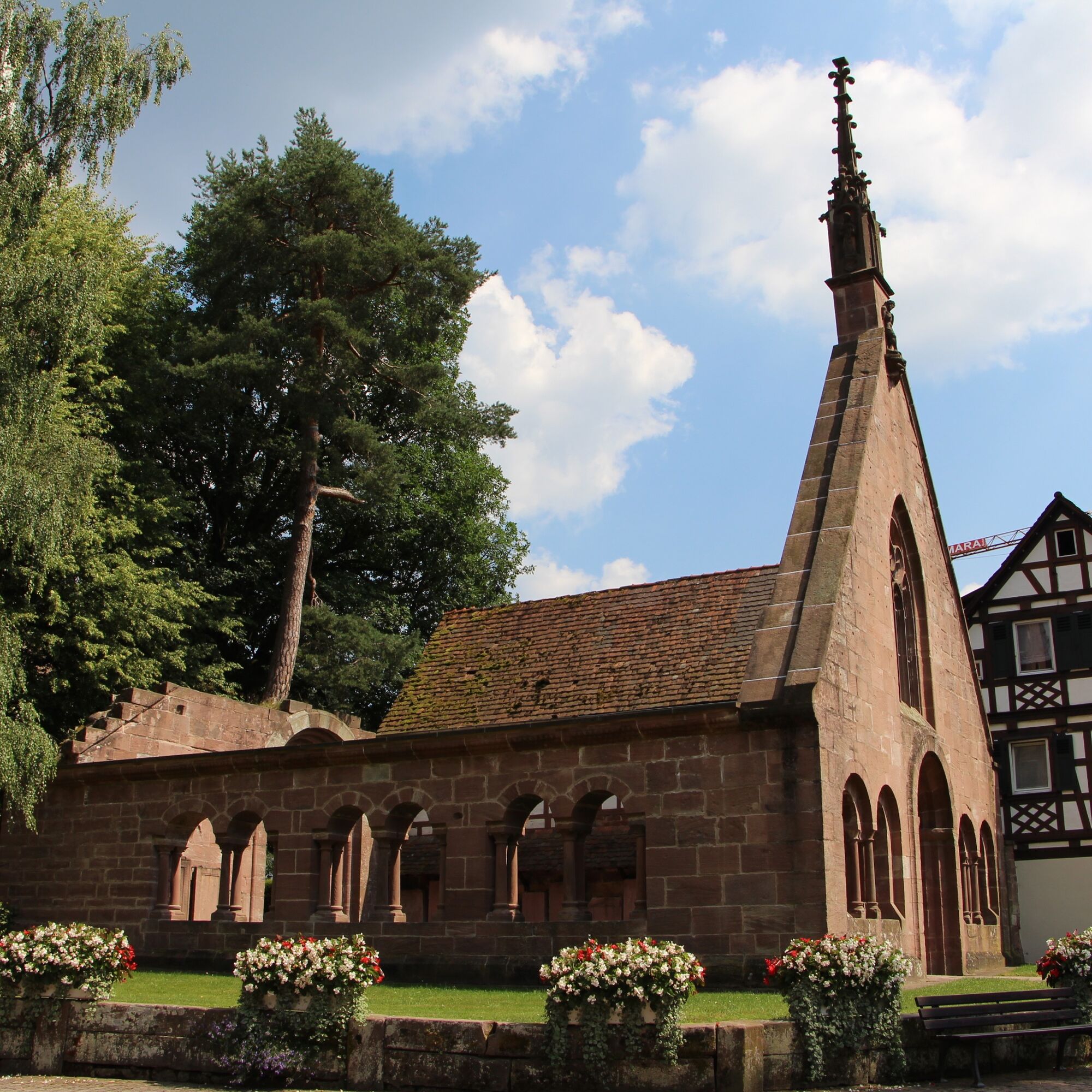
From the Tourist-Info, we go through the archway into Klosterstraße, passing the monastery church with the paradise towards the Klosterscheuer, then turn left to the Sägwasenplatz.
Across the square, we turn right into Gaistalstraße. We follow it until on the left side the "Path to Rotenbächle" branches off.
We initially follow this on the road. Then we follow the forest road into the Rotenbach valley.
After about 3 km, we turn right, a stone bridge leads us over the Rotenbach. At the next opportunity, we turn left onto the road towards the Aschenhütte holiday home.
On the road, we walk down into the Lower Gaistal. We follow the road to the turnoff into the Upper Gaistal. Here we make a sharp left turn and follow the road a short distance uphill until we turn right onto the Eselsweg. We follow this until it joins the Schanzenweg. The Schanzenweg leads us back into the residential area of Bad Herrenalb. We follow the street "Am Wurstberg" until we turn right onto the street "Path to the Schanz". Passing Villa Lina to the Herrenalb Gockel and ice cream café La Vita, we turn left again into Klosterstraße, which takes us back to the Tourist-Info.
By car:
Coming from Frankfurt or Basel, take the A5 motorway, exit Ettlingen, then follow the signs. Coming from Stuttgart, take the A8 motorway, exit Karlsbad/Bad Herrenalb, then follow the signs.
By S1 from Karlsruhe via Ettlingen to Bad Herrenalb station. By bus (X44) to Bad Herrenalb Rathausplatz By bus (116/X63) to Bad Herrenalb Hotel Post
Please note the current bus and train schedules.
P+R at Bad Herrenalb station
Paid parking lot at the town entrance (coming from Ettlingen, turn right at the roundabout)
Paid parking at the spa
Paid parking at the town hall
Paid parking at Sägwasenplatz
Free forest parking lot above the cemetery
Tourism and City Marketing Bad Herrenalb
Rathausplatz 11
76332 Bad Herrenalb
Tel: 07083/5005 55
E-mail: info@badherrenalb.de
www.badherrenalb.de
The Kneipp facility to the left of the monastery church offers a welcome refreshment for tired feet after the hike.
Popular tours in the neighbourhood
- 5,0
Circular route via spring nature trail and Wurstberg
lightHiking8,08 km - 4,0
Eyach-Runde
mediumHiking7,84 km - 5,0
Kaltenbronn Rundweg N° 1 - Wildseemoor-Runde
lightHiking8,30 km - 5,0
Rundwanderweg Sulzkar
mediumHiking12,4 km AugenBlick route Bad Herrenalb Schweizerkopf
mediumHiking15,5 kmWanderung durchs idyllische Kälbertal
mediumHiking8,01 km- 4,0
Renn, Walter Speer, renn!
mediumHiking10,9 km Loffenau - Große Loffenauer Runde (Premiumwanderweg)
heavyHiking13,0 km- 5,0
Aichelberger Traumtour
mediumHiking18,5 km Ein Hauch Westweg
mediumHiking20,5 km
Hiking & Tracking


Don't miss out on offers and inspiration for your next holiday
Your e-mail address has been added to the mailing list.