


The varied route over heights and through valleys offers nature lovers a wide spectrum. The route can be started from different car parks: kindergarten (sports field) Aichelberg, Hünerberg, or Meistern car park.
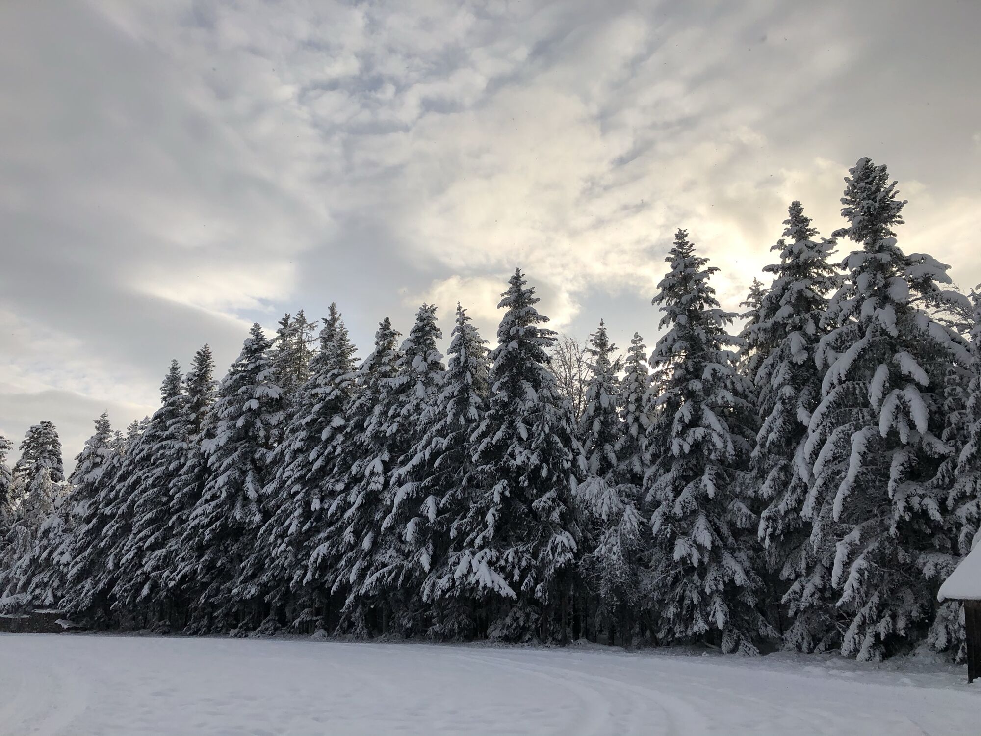
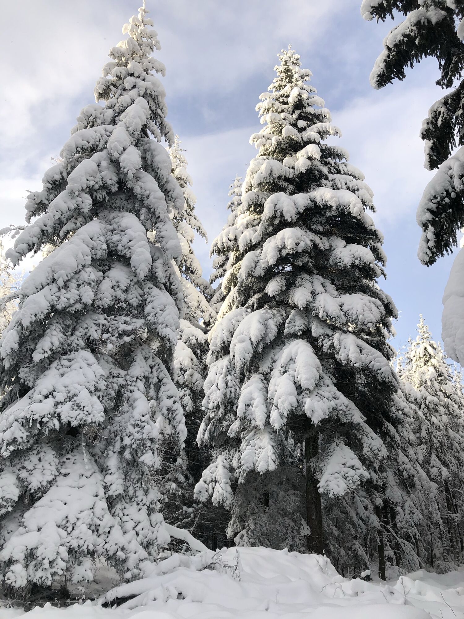
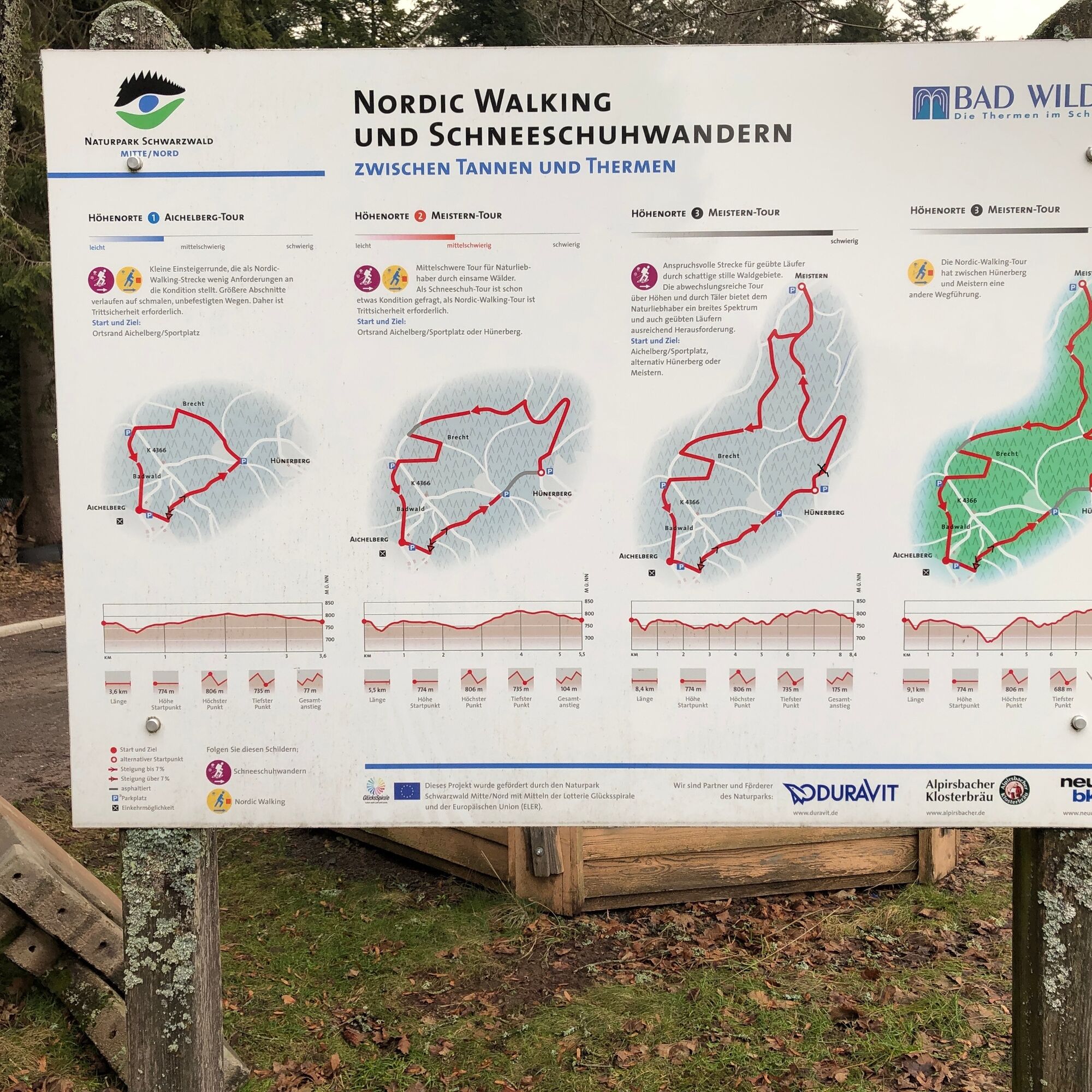

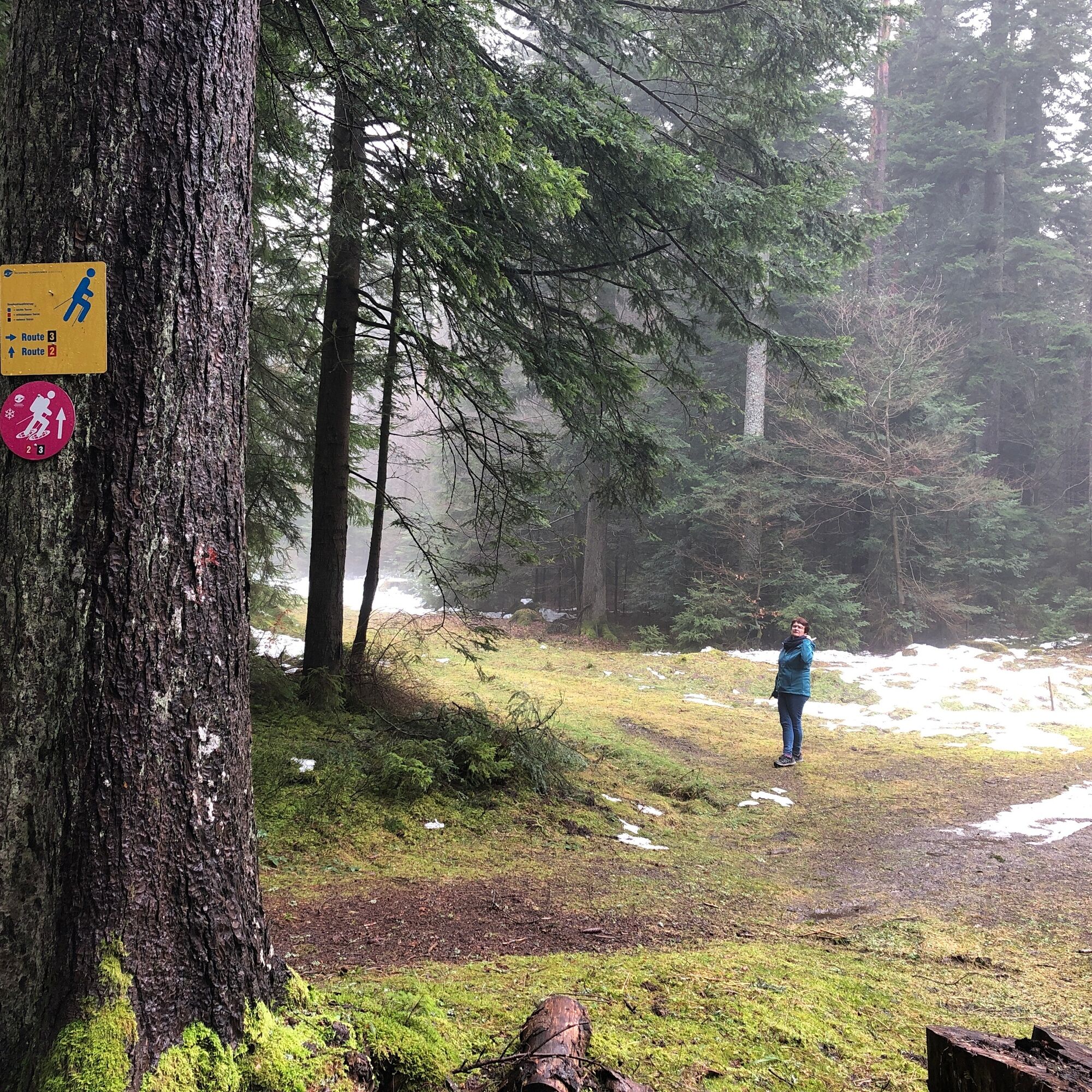
The route leads from the kindergarten (sports field) Aichelberg a short distance along the forest edge. Then you turn left into the forest. Always follow the pink snowshoe route signs with the small black number three on them. You cross the road K4366 before it goes briefly uphill towards Hünerberg. After the Hünerberg town sign, turn left into the forest. On beautiful forest paths, you head towards Meistern. Shortly before Meistern, the route turns left. Follow the pink signs and experience pure nature. Through the forest, you return to the starting point on Aichelberg.
Snowshoes and poles.
Challenging route for experienced snowshoers. Please check the snow conditions on site beforehand.
Via the B294, you reach the high-altitude village of Aichelberg via Freudenstädterstraße. Coming from Bad Wildbad, you reach Aichelberg, Meistern, or Hünerberg via the K4366.
You can reach Aichelberg by bus from Bad Wildbad station.
You can park at the starting point at the kindergarten (sports field) on Aichelberg, at Meistern, or at Hünerberg.
www.bad-wildbad.de
After the route, the Grüne Baum on Aichelberg invites you to stop for a break. There are also shorter routes (No. 1 & 2). These routes also start at the kindergarten (sports field) Aichelberg.
Popular tours in the neighbourhood
- 5.0
Circular route via spring nature trail and Wurstberg
lightHiking8.08 km - 4.5
Eyach round
mediumHiking7.84 km - 5.0
Kaltenbronn Circular Route No. 1 - Wildsee Moor Loop
lightHiking8.30 km - 3.0
Dobel High-Altitude Route
mediumHiking11.8 km - 4.8
premium hiking trail Enzquellenpfad
mediumHiking19.9 km - 5.0
Water, Woods and Meadowtrail / Zavelstein > Calw (Premium trail & Genussweg)
heavyHiking14.4 km - 4.7
Through the wild romantic Schweinbachtal to the Bruderhöhle cave
mediumHiking13.8 km - 5.0
Nature park hiking round tour Zettelberg in Bad-Teinach
heavyHiking15.5 km - 5.0
Rundwanderweg Sulzkar
mediumHiking12.4 km From nature experience to active experience
lightHiking10.5 km
Hiking & Tracking


Don't miss out on offers and inspiration for your next holiday
Your e-mail address has been added to the mailing list.