Uhingen - Cäcilienkirche - Stiftskirche St. Cyriakus
heavy
Navigate
Navigate
Get this tour on your mobile
Uhingen - Cäcilienkirche - Stiftskirche St. Cyriakus
heavy
Cycling
43,57
km
Scan the QR code and start navigation in the bergfex app

Hiking & Tracking


Distance
43,57
km
Duration
03:02
h
Ascent
605
m
Sea level
294 -
458
m
Track download
Uhingen - Cäcilienkirche - Stiftskirche St. Cyriakus
heavy
Cycling
43,57
km


Route
Cäcilienkirche
(301 m)
Place of worship
1,1 km
Göppingen
(323 m)
City
4,4 km
Stiftskirche St. Cyriakus
(430 m)
Place of worship
13,2 km
Dürnau
(425 m)
Village
14,4 km
Schlat
(426 m)
Village
21,7 km
Andreaskirche
(426 m)
Place of worship
21,8 km
Eislingen/Fils
(336 m)
City
32,6 km
Route
Uhingen - Cäcilienkirche - Stiftskirche St. Cyriakus
heavy
Cycling
43,57
km
Uhingen
(297 m)
Railway station
0,0 km
Uhingen
(295 m)
City
0,7 km
Cäcilienkirche
(301 m)
Place of worship
1,1 km
Göppingen
(323 m)
City
4,4 km
Schopflenberg
(370 m)
Neighbourhood
7,3 km
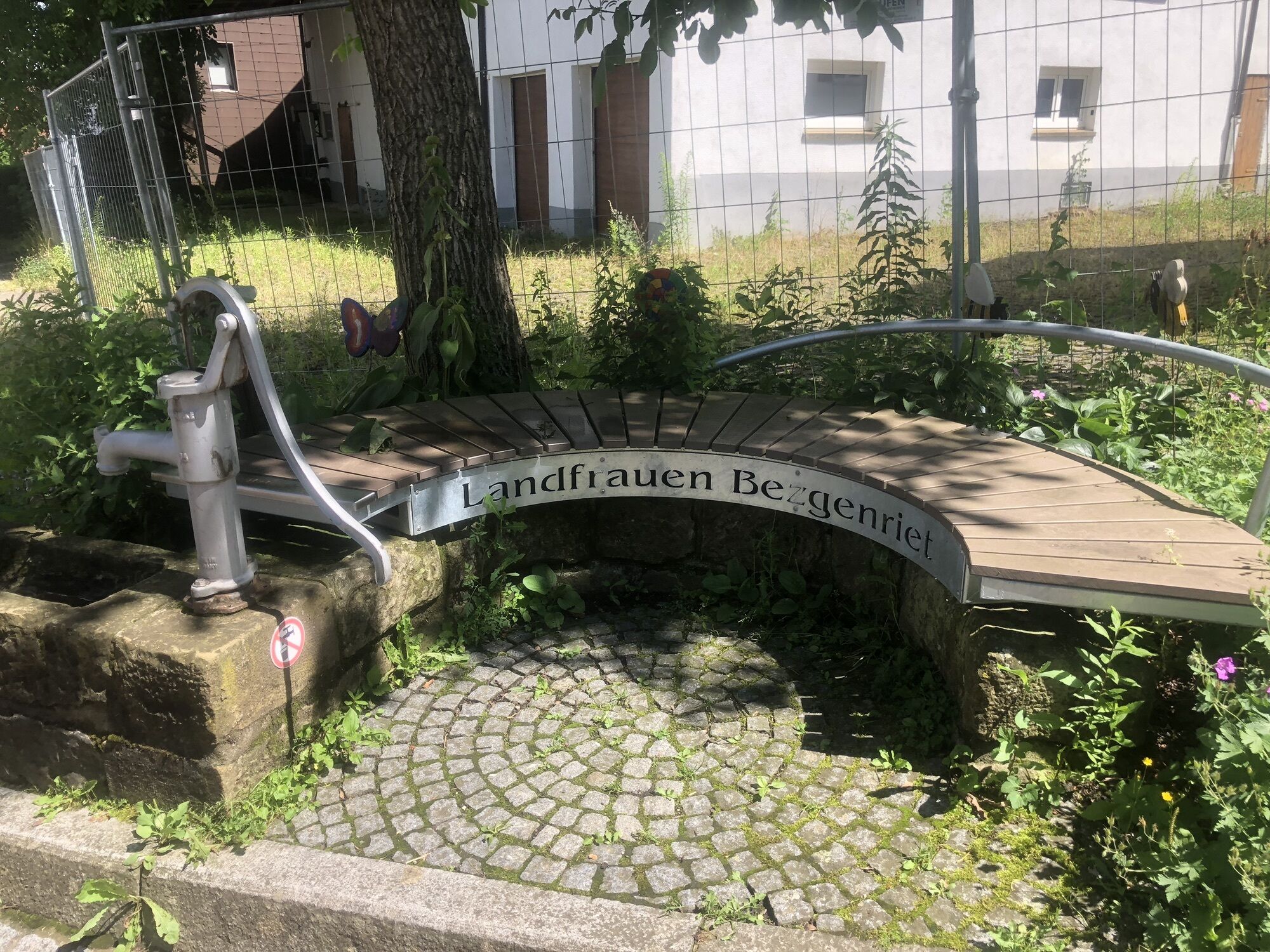
Bezgenriet
(364 m)
Village
8,1 km
TV Bezgenriet - Cafe-Restaurant am See
(381 m)
Restaurant
8,6 km
Schützenhaus
(393 m)
Restaurant
8,8 km
Bad Boll
(433 m)
Village
13,1 km
Stiftskirche St. Cyriakus
(430 m)
Place of worship
13,2 km
Wilhelmshöhe Restaurant vegan
(442 m)
Restaurant
13,8 km
Dürnau
(425 m)
Village
14,4 km
Gammelshausen
(436 m)
Village
15,8 km
Gaststätte Krone
(410 m)
Restaurant
18,6 km
Eschenbach
(406 m)
Village
18,6 km
Die Wiese
(404 m)
Restaurant
19,2 km
Gasthof Lamm
(415 m)
Restaurant
21,6 km
Schlat
(426 m)
Village
21,7 km
Pizzeria Altdeutsche Stube
(428 m)
Restaurant
21,8 km
Andreaskirche
(426 m)
Place of worship
21,8 km
Süßen
(369 m)
City
27,3 km
Salach
(357 m)
Village
29,3 km
Glashaus
(355 m)
Restaurant
29,3 km
La Quercia
(346 m)
Restaurant
31,2 km
Eislingen/Fils
(336 m)
City
32,6 km
Eislingen (Fils)
(337 m)
Railway station
33,1 km
Landschaftspark Fils: Aufenthaltsplatz Krumm-Mündung
(330 m)
Viewpoint
34,0 km
Südstadt
(319 m)
Neighbourhood
37,0 km
Göppingen
(323 m)
City
37,3 km
Faurndau
(322 m)
Neighbourhood
40,8 km
Uhingen
(297 m)
Railway station
43,6 km
No reviews yet
Popular tours in the neighbourhood
- 4,9
Löwenpfad "Staufer-Runde" - Barbarossa's traces before a dreamlike backdrop
mediumHiking11,3 km - 4,5
Löwenpfad "Weitblick-Tour" - High up and far-reaching view
heavyHiking12,0 km - 5,0
Löwenpfad "Berta-Hörnle-Tour" - Castle stories in a dreamlike setting
mediumHiking14,5 km - 5,0
Löwenpfad "Filsursprung-Runde" - pure nature around Reußenstein
mediumHiking14,0 km - 4,6
Löwenpfad "Orchideenpfad" - Herbs, pasqueflower and juniper heather
mediumHiking9,33 km - 5,0
Löwenpfad "Filstalgucker" – Views from the heart of the Filstal
mediumHiking13,1 km - 1,0
Nordalbrunde
mediumHiking4,76 km - 3,8
Löwenpfad "Ave-Weg" - a touch of pilgrimage on the Albtrauf
mediumHiking8,58 km - 3,0
Circular route Drei-Kaiserberge
heavyHiking25,7 km Löwenpfad "Spielburg-Runde" - Around the mountain Hohenstaufen
lightHiking3,53 km

Hiking & Tracking

Over 550.000 tour suggestions, detailed maps and an intuitive route planner make the app a must-have for all nature enthusiasts.

Don't miss out on offers and inspiration for your next holiday
Subscribe to the newsletter
Error
An error has occurred. Please try again.Thank you for your registration
Your e-mail address has been added to the mailing list.
Tours throughout Europe
Austria Switzerland Germany Italy Slovenia France Netherlands Belgium Poland Liechtenstein Czechia Slovakia Spain Croatia Bosnia and Herzegovina Luxembourg Andorra Portugal Iceland United Kingdom Ireland Greece Albania North Macedonia Malta Norway Montenegro Moldova Kosovo Hungary San Marino Romania Estonia Latvia Belarus Cyprus Lithuania Serbia Bulgaria Monaco Denmark Sweden Finland