Kressbronn am Bodensee - St. Peter und Paul - Pfarrkirche St. Andreas - Peterskirche
medium
Navigate
Navigate
Get this tour on your mobile
Kressbronn am Bodensee - St. Peter und Paul - Pfarrkirche St. Andreas - Peterskirche
medium
Cycling
67.47
km
Scan the QR code and start navigation in the bergfex app

Hiking & Tracking


Distance
67.47
km
Duration
04:56
h
Ascent
432
m
Sea level
396 -
593
m
Track download
Kressbronn am Bodensee - St. Peter und Paul - Pfarrkirche St. Andreas - Peterskirche
medium
Cycling
67.47
km


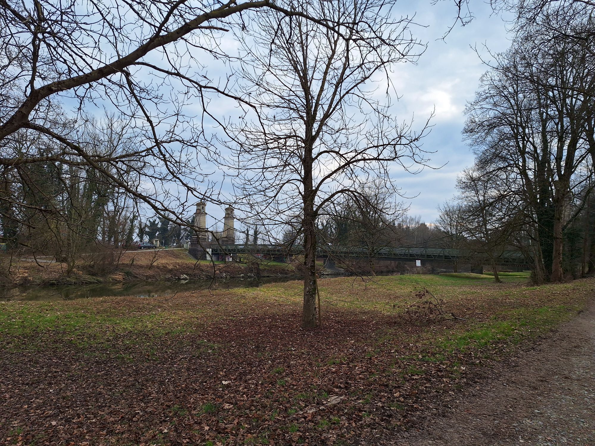
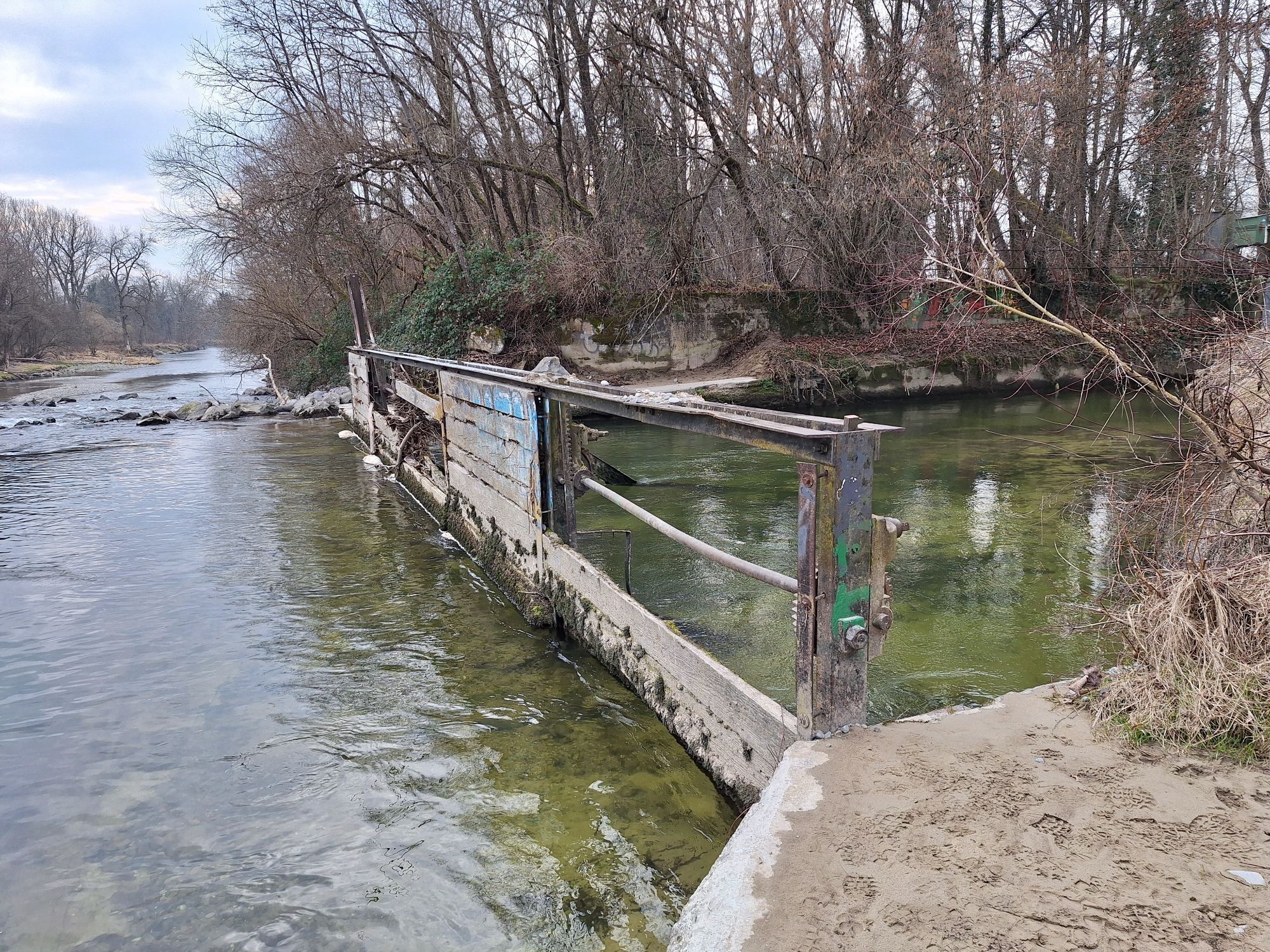
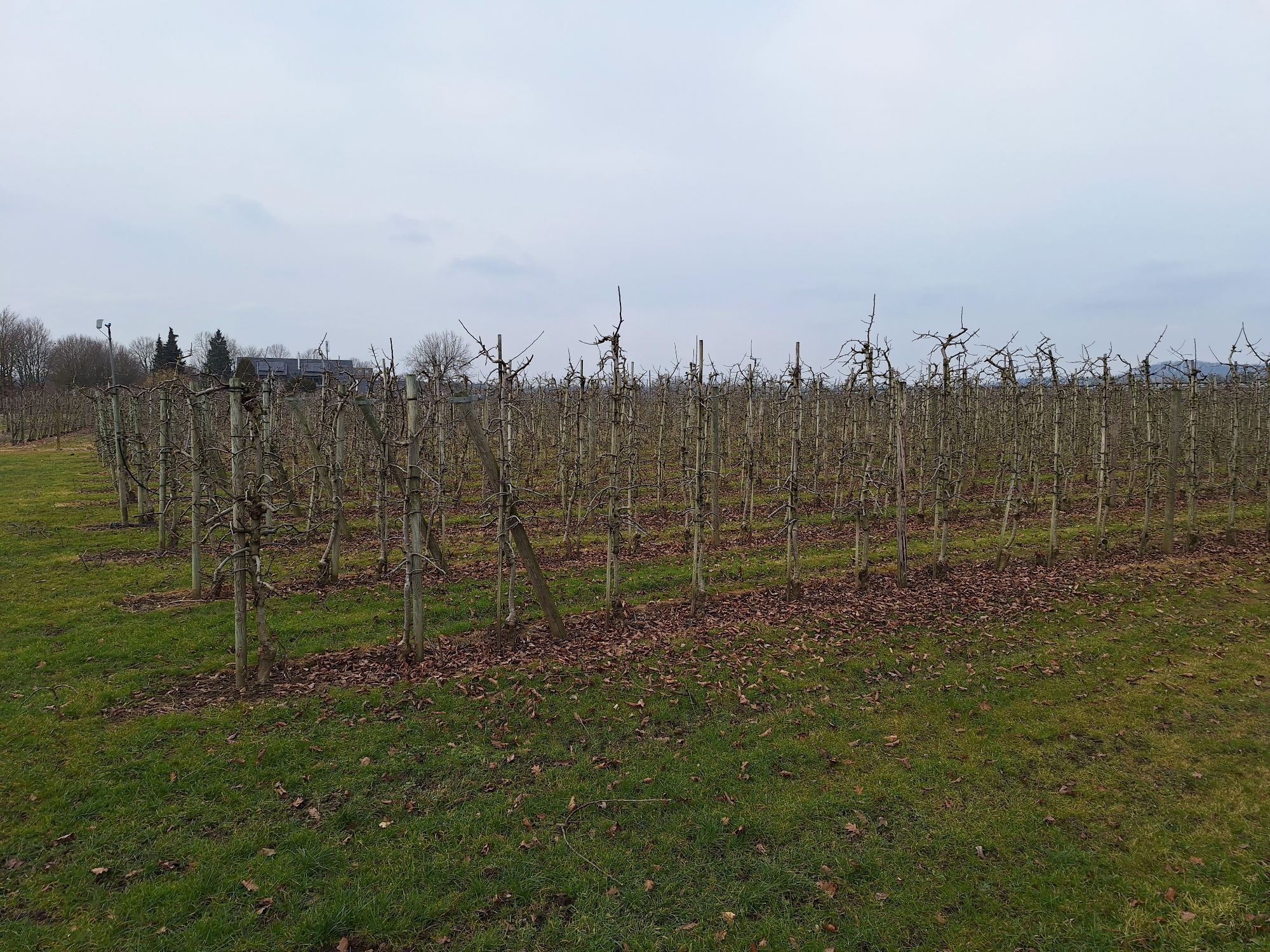
Photos from our users
 © Th.Lo.Created on 09.06.2025
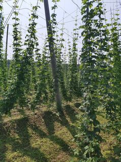 © Th.Lo.Created on 09.06.2025
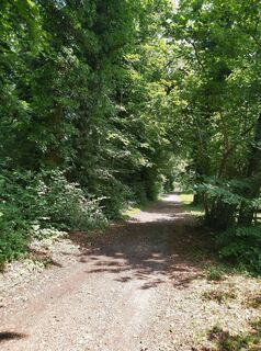 © Th.Lo.Created on 09.06.2025
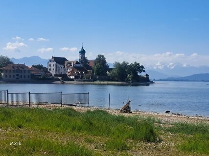
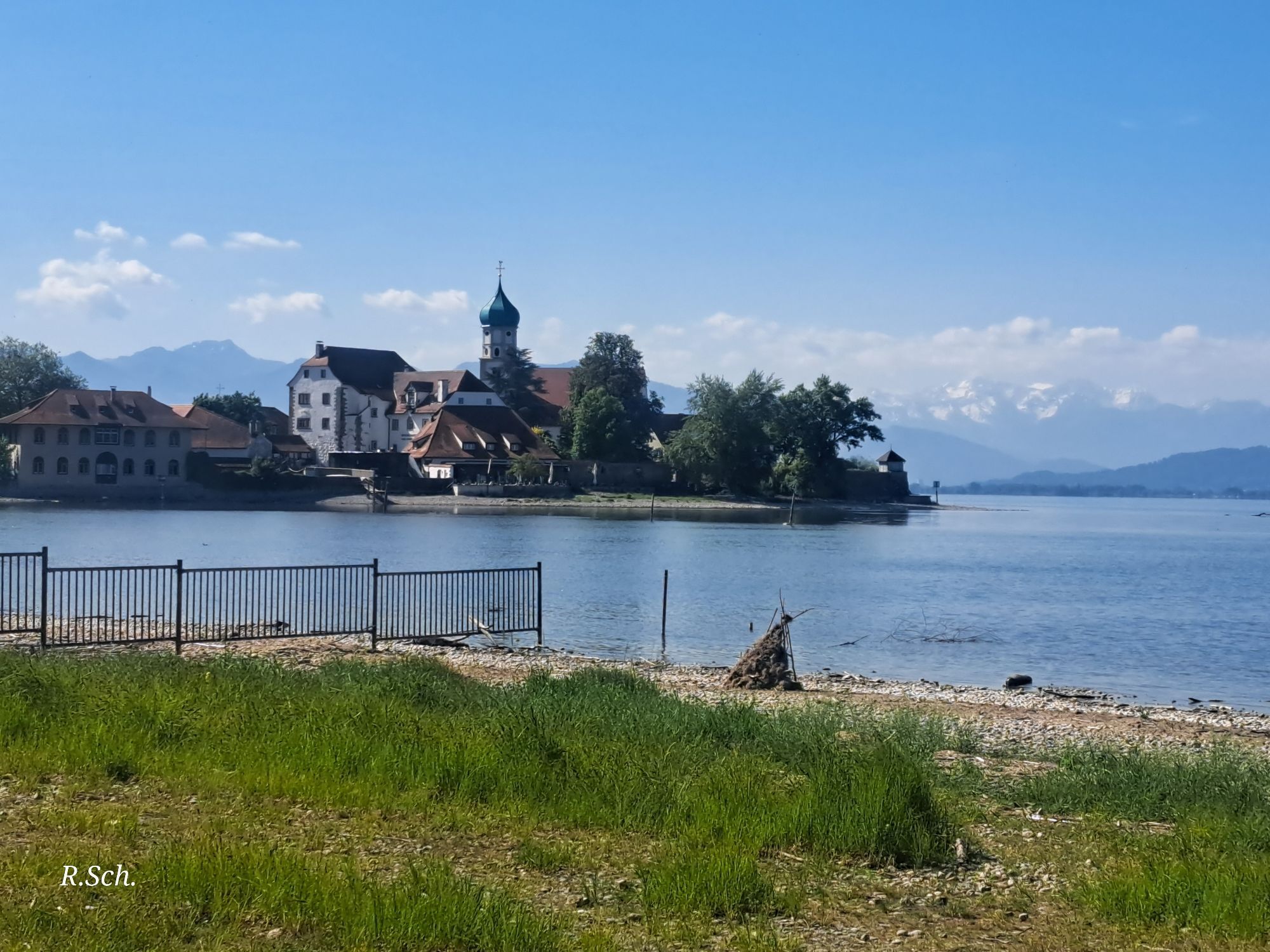
 © Roswitha SchmidtCreated on 19.05.2025
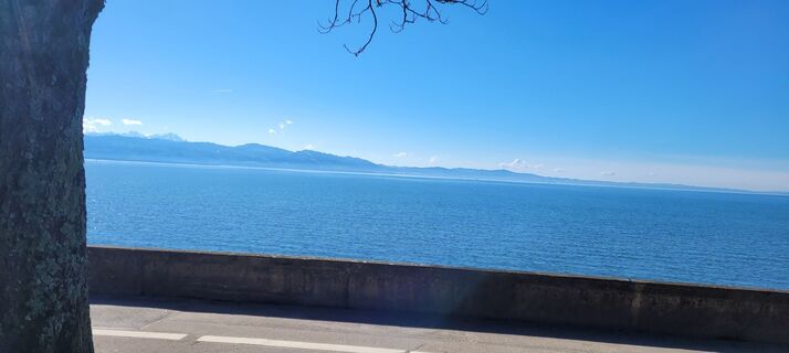
 © Berni BenediktCreated on 25.02.2024
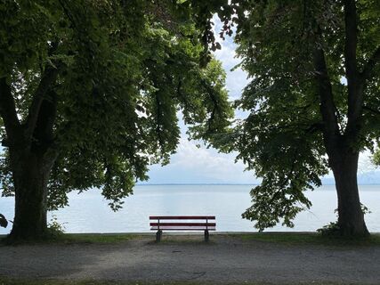
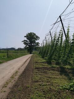
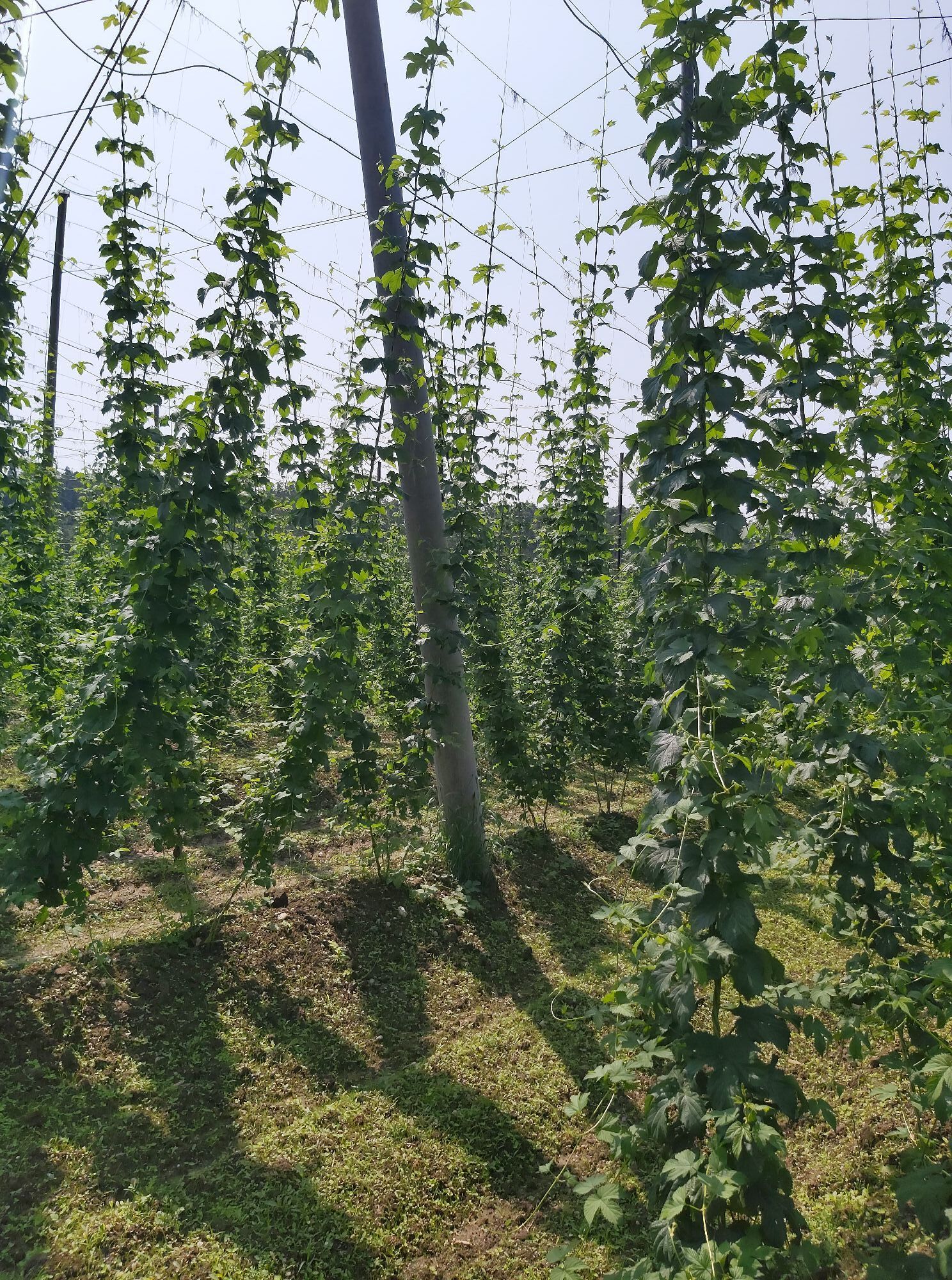
 © Cord SchillCreated on 16.06.2025
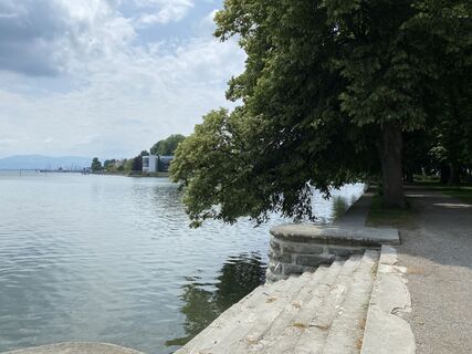 © Cord SchillCreated on 16.06.2025
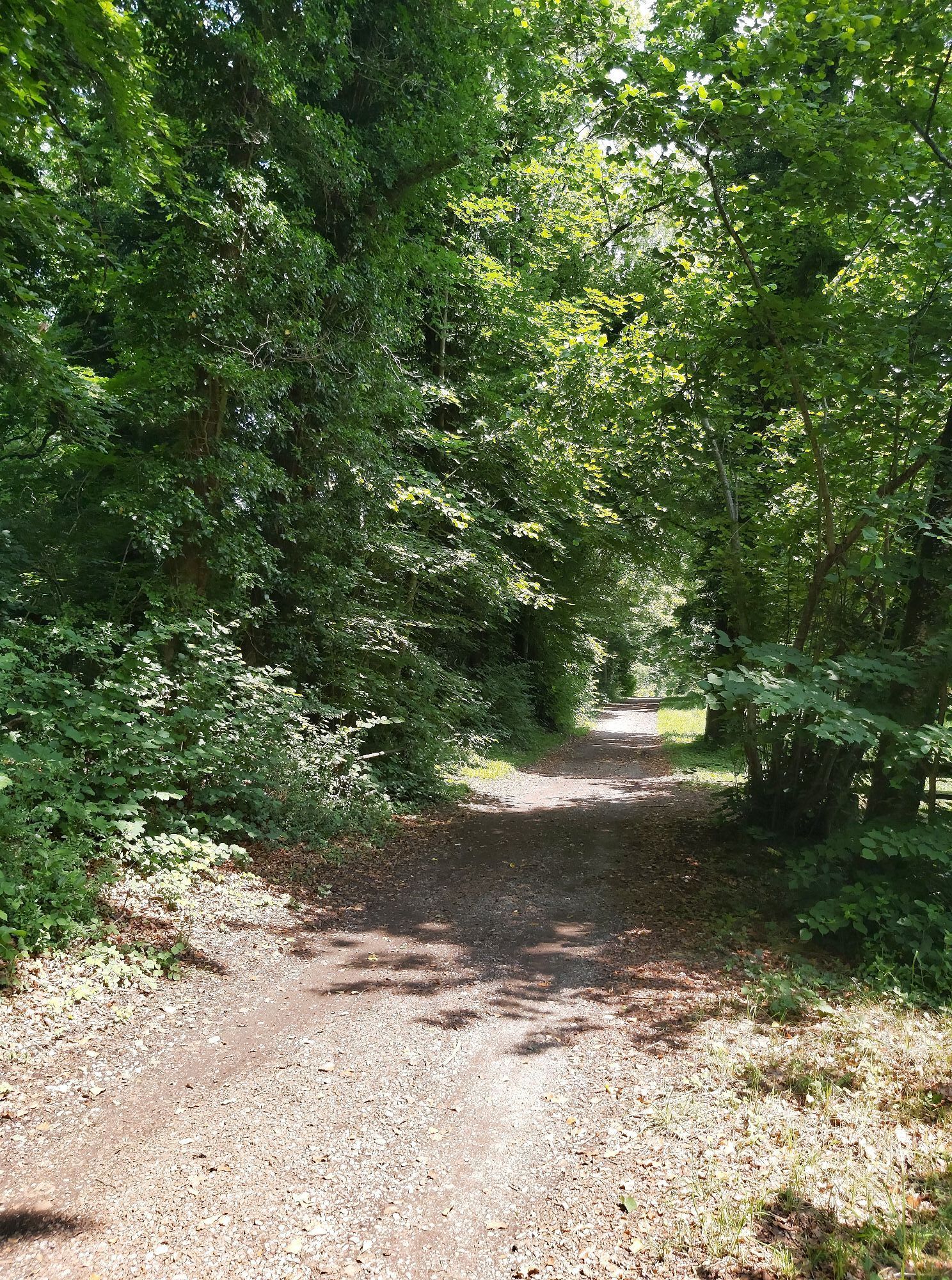
 © Lars KleinCreated on 15.04.2025
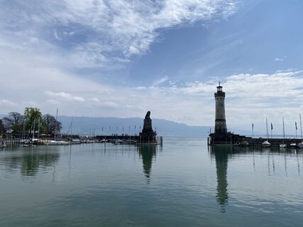 © Lars KleinCreated on 15.04.2025
 © Lars KleinCreated on 15.04.2025
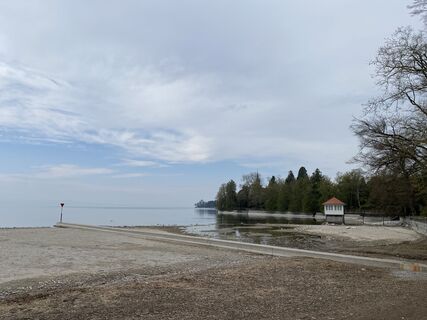 © Lars KleinCreated on 15.04.2025
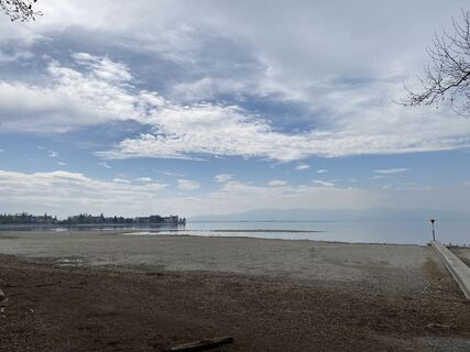 © Lars KleinCreated on 15.04.2025
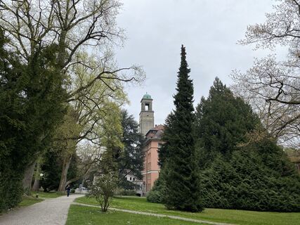 © Lars KleinCreated on 15.04.2025
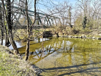
 © Herbert FitschCreated on 08.04.2025
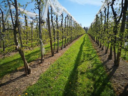 © Herbert FitschCreated on 08.04.2025
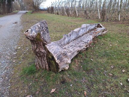
 © Josef ÖsterleCreated on 09.02.2025
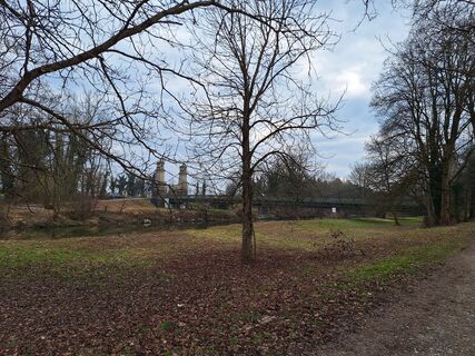 © Josef ÖsterleCreated on 09.02.2025
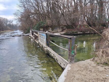 © Josef ÖsterleCreated on 09.02.2025
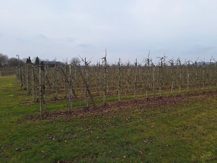 © Josef ÖsterleCreated on 09.02.2025


Route
St. Josef`s Kapelle Tunau
(401 m)
Place of worship
2.5 km
St. Peter und Paul
(444 m)
Place of worship
12.9 km
Pfarrkirche St. Andreas
(545 m)
Place of worship
28.9 km
St. Nikolaus-Kapelle am Sattel
(552 m)
Place of worship
30.8 km
Pfarrkirche Sankt Gallus
(537 m)
Place of worship
43.9 km
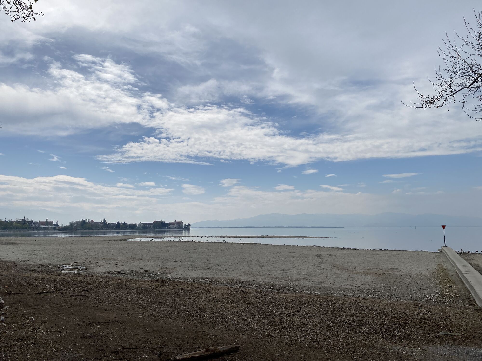
Lindau (Bodensee)
(401 m)
City
54.8 km
Peterskirche
(400 m)
Place of worship
55.9 km
Route
Kressbronn am Bodensee - St. Peter und Paul - Pfarrkirche St. Andreas - Peterskirche
medium
Cycling
67.47
km
Kressbronn am Bodensee
(415 m)
Village
0.0 km
Kressbronn
(409 m)
Railway station
0.0 km
St. Josef`s Kapelle Tunau
(401 m)
Place of worship
2.5 km
Tunau
(402 m)
Settlement
2.6 km
Schnaidt
(403 m)
Settlement
3.2 km
Schnaidter Hof
(401 m)
Restaurant
3.2 km
Gohren
(404 m)
Neighbourhood
3.9 km
Gießenbrücke
(428 m)
Settlement
9.6 km
Apflau
(435 m)
Settlement
10.9 km
Moscht-Stüble
(436 m)
Restaurant
11.0 km
Laimnau
(440 m)
Village
12.8 km
St. Peter und Paul
(444 m)
Place of worship
12.9 km
Zum Landwirt
(443 m)
Restaurant
13.0 km
Ritter
(446 m)
Restaurant
13.1 km
Ristorante Pizzeria Vesuvio
(445 m)
Restaurant
13.1 km
Wellmutsweiler
(463 m)
Settlement
14.6 km
Rappertsweiler
(493 m)
Settlement
15.4 km
Wildpoltsweiler
(532 m)
Village
17.4 km
Unterlangensee
(558 m)
Settlement
18.2 km
Oberlangensee
(549 m)
Settlement
20.3 km
Aberlingsbühl
(562 m)
Settlement
21.0 km
Goppertsweiler
(528 m)
Settlement
22.6 km
Hirsch
(523 m)
Restaurant
22.8 km
Gasthof Löwen
(501 m)
Restaurant
23.9 km
Pflegelberg
(502 m)
Settlement
23.9 km
Pfarrkirche Sankt Clemens Primisweiler
(546 m)
Place of worship
25.7 km
Primisweiler
(547 m)
Village
25.7 km
Rheinödhof
(554 m)
Settlement
26.8 km
Mittenweiler
(556 m)
Settlement
27.0 km
Feld
(548 m)
Settlement
28.1 km
Pfarrkirche St. Andreas
(545 m)
Place of worship
28.9 km
Niederwangen
(544 m)
Village
29.0 km
Sattel
(559 m)
Settlement
30.8 km
St. Nikolaus-Kapelle am Sattel
(552 m)
Place of worship
30.8 km
Altstadt
(560 m)
Neighbourhood
32.3 km
Wangen im Allgäu
(556 m)
City
32.4 km
Auwiesen
(550 m)
Neighbourhood
33.3 km
Lottenmühle
(542 m)
Settlement
34.5 km
Elitz
(550 m)
Settlement
34.9 km
Welbrechts
(541 m)
Settlement
35.5 km
Gasthaus "Zum Hirsch"
(540 m)
Restaurant
35.8 km
Löwenhorn
(545 m)
Settlement
36.9 km
Schuppenberg
(552 m)
Settlement
37.9 km
Untermooweiler
(549 m)
Settlement
39.0 km
Kiesgrub
(525 m)
Settlement
40.6 km
Schwarzenbach
(521 m)
Village
41.1 km
Fässle
(521 m)
Restaurant
42.0 km
Pizzeria Adriatica
(532 m)
Restaurant
42.2 km
Neuravensburg
(526 m)
Village
42.2 km
Roggenzell
(536 m)
Village
43.8 km
Gasthaus Adler
(535 m)
Restaurant
43.9 km
Pfarrkirche Sankt Gallus
(537 m)
Place of worship
43.9 km
Loch
(544 m)
Settlement
44.5 km
Schwatzen
(517 m)
Settlement
46.6 km
Mosträdle Schwatzenmühle
(516 m)
Restaurant
46.7 km
Lampertsweiler
(505 m)
Settlement
47.5 km
Thai House
(497 m)
Restaurant
48.6 km
Grübels
(515 m)
Neighbourhood
48.8 km
Rothkreuz
(505 m)
Village
49.0 km
Weißensberg
(495 m)
Village
49.3 km
Bayerischer Hof
(484 m)
Restaurant
50.1 km
Rehlings
(489 m)
Neighbourhood
50.1 km
Niederhaus
(482 m)
Neighbourhood
50.2 km
Schönbühl
(462 m)
Settlement
51.1 km
Motzach
(450 m)
Village
51.8 km
Lindau (Bodensee)
(401 m)
City
54.8 km
Insel
(401 m)
Neighbourhood
55.7 km
Peterskirche
(400 m)
Place of worship
55.9 km
3
(395 m)
Ferry landing stage
56.3 km
2
(395 m)
Ferry landing stage
56.3 km
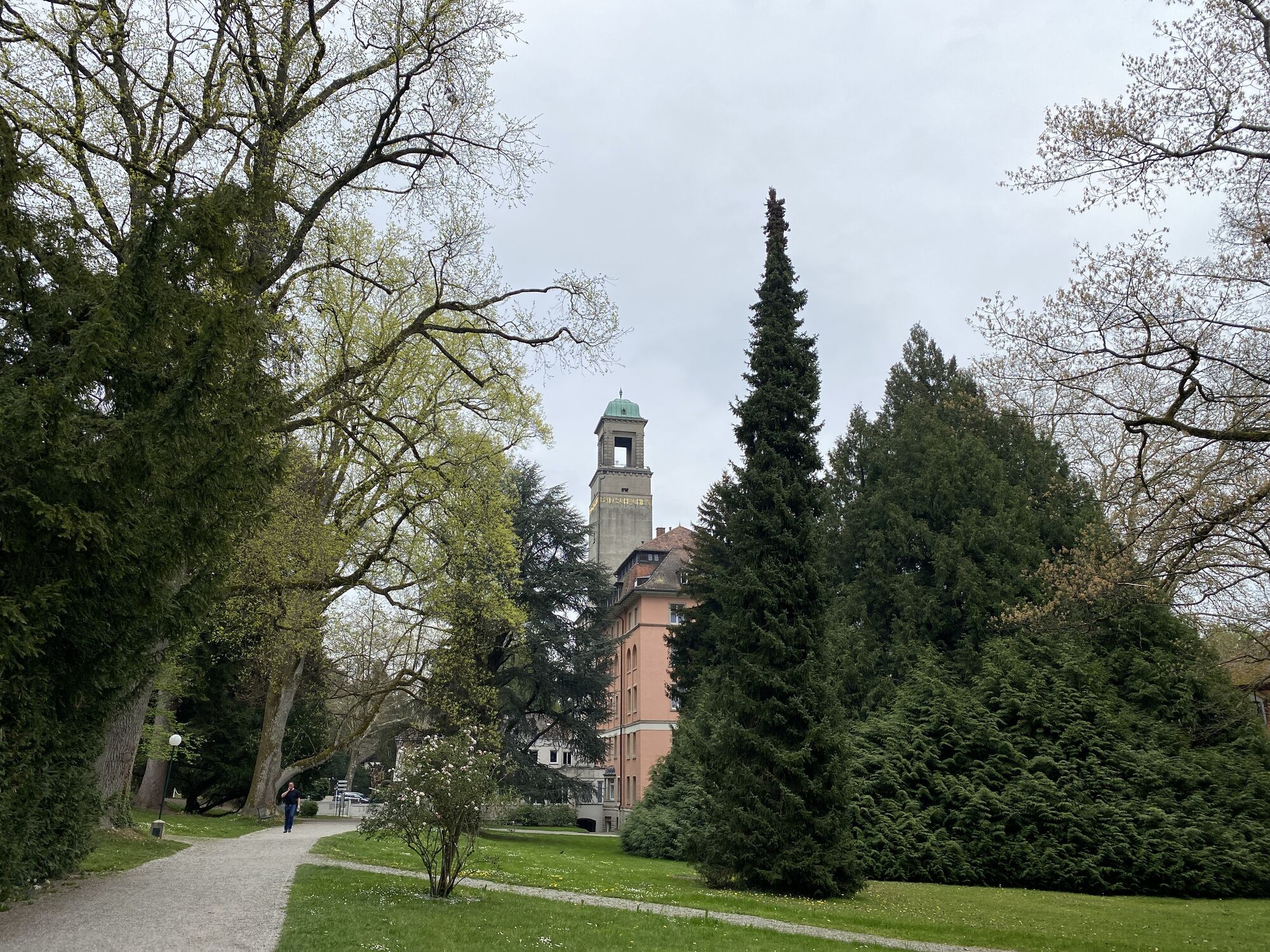
Bad Schachen
(411 m)
Village
58.8 km
Restaurant – LEOPOLD am SEE
(419 m)
Restaurant
60.2 km
Reutenen
(416 m)
Settlement
60.7 km
Wasserburg - Bodensee
(400 m)
Village
61.9 km
Nonnenhorn
(405 m)
Village
64.3 km
Kressbronn
(409 m)
Railway station
67.3 km
Kressbronn am Bodensee
(415 m)
Village
67.4 km
No reviews yet
Popular tours in the neighbourhood
- 4.4
Bregenz, Austria - Pfänder
lightHiking8.57 km - 4.2
Sonntagsrunde
mediumHiking7 km - 5.0
Hiltensweiler - Rengersweiler - Degersee
lightHiking10.8 km - 4.0
Landschaftlich sehr schöner Rundweg
lightHiking10.2 km - 2.8
Eichenberg auf Pfänder
lightHiking7.76 km Vom Landeshauptschießstand zum Pfändergipfel (Bregenz, Vorarlberg/Österreich)
mediumHiking9.97 kmNeuravensburger Argenweg
mediumHiking10.7 km- 4.2
Hirschbergrunde
lightHiking8.88 km - 5.0
Möggers Rundwanderweg
lightHiking8.36 km Bregenz, Vorarlberg/Österreich, Pfänder Taltour
Hiking6.13 km
Hiking & Tracking

Over 550.000 tour suggestions, detailed maps and an intuitive route planner make the app a must-have for all nature enthusiasts.

Don't miss out on offers and inspiration for your next holiday
Subscribe to the newsletter
Error
An error has occurred. Please try again.Thank you for your registration
Your e-mail address has been added to the mailing list.
Tours throughout Europe
Austria Switzerland Germany Italy Slovenia France Netherlands Belgium Poland Liechtenstein Czechia Slovakia Spain Croatia Bosnia and Herzegovina Luxembourg Andorra Portugal Iceland United Kingdom Ireland Greece Albania North Macedonia Malta Norway Montenegro Moldova Kosovo Hungary San Marino Romania Estonia Latvia Belarus Cyprus Lithuania Serbia Bulgaria Monaco Denmark Sweden Finland