Cycling tour: Bugey's vineyards
light
Racing
Navigate
Navigate
Get this tour on your mobile
Map
Cycling tour: Bugey's vineyards
light
Racing
29,00 km
Scan the QR code and start navigation in the bergfex app
QR Code
Hiking & Tracking
Hiking & Tracking
Download for iOS
Download for Android

Cycling tour: Bugey's vineyards

Distance
29,00 km
Duration
01:40 h
Ascent
340 m
Sea level
229 - 373 m
Track download
Map
Cycling tour: Bugey's vineyards
light
Racing
29,00 km

The loop follows the Rhône river on the ViaRhôna cycle path at first. It then crosses the Rhône to cross Cressin-Rochefort. It is possible to make a round trip along the path along the north coast of Lake...


Description of the

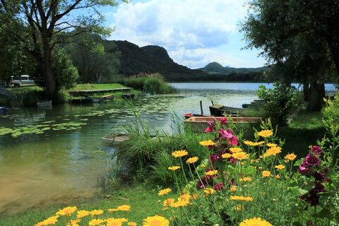
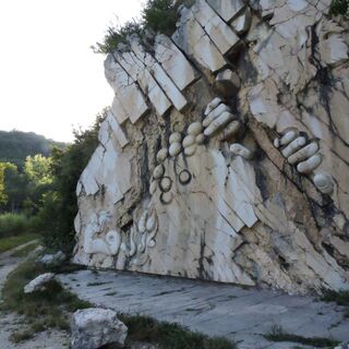
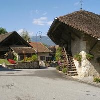
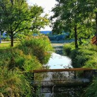
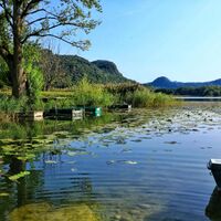
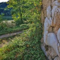
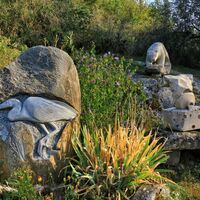
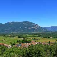
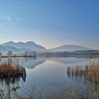
The loop follows the Rhône river on the ViaRhôna cycle path at first. It then crosses the Rhône to cross Cressin-Rochefort. It is possible to make a round trip along the path along the north coast of Lake Barterand to admire Gargantua and the Wyvern, legends of Bugey carved in the rock

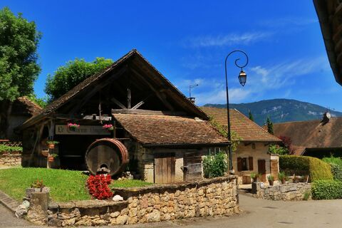
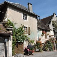
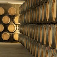
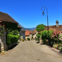
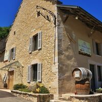
The circuit then goes around Vongnes, an atypical village with several vaults including the Caveau Bugiste, a real local institution. Le Caveau bugiste includes a museum of wine-growing traditions and a museum of tools for the stone trades, an exhibition hall and offers tours and tastings of its cellar every day of the year.

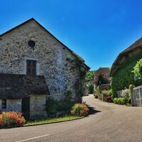
The return is then made by the beautiful village of Ceyzérieu, under the castle of Grammont (cannot be visited) and the lake of Chavoley before returning by Marignieu and St Champ, then to find the ViaRhôna a little further.

If the circuit includes a low drop and remains very accessible, the course is a little hilly.

Route
Route
Map
Cycling tour: Bugey's vineyards
light
Racing
29,00 km
La Tuilerie
(241 m)
Settlement
0,8 km
Île Béard
(230 m)
Settlement
1,4 km
Cressin-Rochefort
(244 m)
Village
3,6 km
La Pérouze
(261 m)
Neighbourhood
3,6 km
Sur les Croix
(278 m)
Neighbourhood
4,0 km
En Pommier
(276 m)
Neighbourhood
4,1 km
En Tricotte
(275 m)
Neighbourhood
4,3 km
Parissieu
(270 m)
Settlement
5,1 km
Vers Le Bochet
(272 m)
Corridor/terrain
5,5 km
La Groseliere
(284 m)
Corridor/terrain
5,5 km
Le Levay
(293 m)
Corridor/terrain
5,7 km
Marderat
(288 m)
Corridor/terrain
6,1 km
Leyzieu
(289 m)
Settlement
6,2 km
Vers Le Moulin
(269 m)
Corridor/terrain
7,1 km
La Chataigneraie
(283 m)
Corridor/terrain
7,1 km
Pollieu
(278 m)
Village
7,8 km
Le Mortier
(270 m)
Corridor/terrain
8,0 km
Teppe Dody
(294 m)
Corridor/terrain
8,3 km
En Rampot
(308 m)
Corridor/terrain
8,5 km
Petit Pontet
(297 m)
Corridor/terrain
8,6 km
L'Étrat
(284 m)
Corridor/terrain
9,0 km
Flaxieu
(287 m)
Village
9,1 km
Sous l'Église
(307 m)
Corridor/terrain
10,1 km
Église Saint-Oyen
(317 m)
Place of worship
10,3 km
Aux Champs
(331 m)
Corridor/terrain
10,3 km
Vongnes
(308 m)
Village
10,5 km
Ceyzérieu
(271 m)
Village
13,0 km
Fontaine
(269 m)
Source
13,1 km
Senoy
(305 m)
Settlement
13,5 km
À la Cornelle
(322 m)
Corridor/terrain
13,8 km
Le Carré
(357 m)
Settlement
14,8 km
Grammont
(369 m)
Settlement
15,2 km
Catton
(355 m)
Settlement
15,5 km
La Couille
(343 m)
Corridor/terrain
16,6 km
Morgnieu
(360 m)
Settlement
16,6 km
Chavoley
(340 m)
Settlement
16,9 km
Noumardoux
(337 m)
Corridor/terrain
17,1 km
Poirin
(359 m)
Settlement
19,7 km
Marignieu
(374 m)
Village
20,7 km
Chatonod
(360 m)
Settlement
21,7 km
Église Saint-Martin
(344 m)
Place of worship
23,7 km
Saint-Champ
(344 m)
Village
23,8 km
Grevey
(256 m)
Settlement
25,6 km
Le Lac de Bart
(243 m)
Restaurant
26,1 km
Description of the

This cycling circuit departing from the port of Massignieu de Rives along the ViaRhôna, crosses the small atypical wine-growing villages of southern Bugey.

Technology
2 / 6
Condition
1 / 6
Landscape
5 / 6
Experience
6 / 6
Best time of year
Jan
Feb
Mar
Apr
May
Jun
Jul
Aug
Sep
Oct
Nov
Dec
Share tour
Map
Cycling tour: Bugey's vineyards
light
Racing
29,00 km
Error
An error has occurred. Please try again.
Route information
Route

Suivre La ViaRhôna en direction de Genève pendant quelques centaines de mètres avant de traverser le Rhône direction Cressin-Rochefort.

Suitable for families

Yes

Equipment

Equipement recommandé : gourdes, casques, téléphone, matériel de rechange.

Safety instructions

Si le circuit passe principalement par une voie verte et des petites routes, veuillez respecter le code de la route.

Le circuit longe une départementale fréquentée pendant une petite centaine de mètres vers la fin du parcours, nous vous recomandons d'être prudent lors de la traversée de celle-ci en fin de parcours.

Arrival information
Arrival

Autoroutes depuis Lyon :

A40, sortie 8 Saint-Martin-du-Fresne et Hauteville pour Les Plans d’Hotonnes et Plateau de Retord

A42, sortie 8 : Ambérieu-en-Bugey

A43, sortie 10 les Abrets

Départementales

D 1504 depuis Ambérieu-en-Bugey

D 992 depuis Chambéry

Public transport

Le départ n'est pas accessible en transports en commun.

Parking

Des places de parking sont disponibles au port de Massignieu.

Additional information & tips
Additional information

APIDAE tourism data updated on 25/10/2022 by "Office de Tourisme Bugey Sud Grand Colombier".
Spotted an error? Write to the owner with the following information:
File name: Circuit vélo : Vignobles du Bugey | Record identifier: 6098296 | URL (link) for this Outdooractive page.

Tips

Ce circuit vélo permet de découvrir une partie du Bugey Sud loin des grands axes, on enchaîne les traversées de petits villages entre Rhône et Grand Colombier.

Hiking & Tracking

Hiking & Tracking

download for iOSdownload for Android
Hiking & Tracking
Over 550.000 tour suggestions, detailed maps and an intuitive route planner make the app a must-have for all nature enthusiasts.
Hiking & Tracking