


In 1689, the Waldensians exiled to Switzerland and led by the shepherd and commander Arnaud Henri, took 13 days to cover the 250 km that separated them from their lands of origin. The memorable enterprise...
In 1689, the Waldensians exiled to Switzerland and led by the shepherd and commander Arnaud Henri, took 13 days to cover the 250 km that separated them from their lands of origin. The memorable enterprise towards the return to freedom has gone down in history with the name of "Glorieuse Rentrée". The hiking route crosses environments of high naturalistic value, including natural parks and sites of the Natura 2000 ecological network.
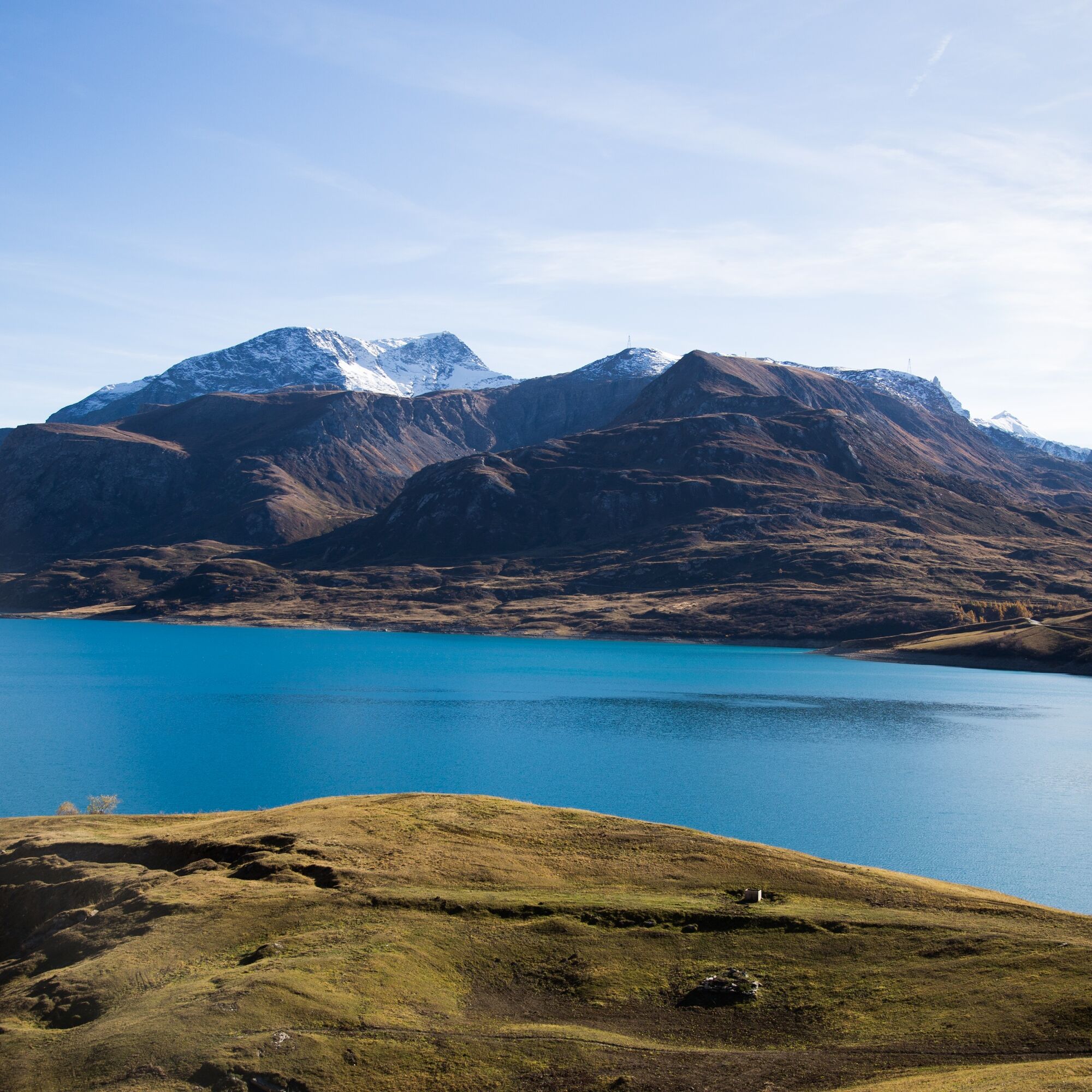
In the first stage, you pass from the beautiful pastures of the Colle del Piccolo Moncenisio, to the high-altitude environments of Col Clapier (2477 asl) with the background of the Ambin massif, up to the Val Clarea area, to the valley floor with broad-leaved woods and the hamlets of Giaglione. The alternative route that from Col Clapier continues towards the recently renovated and expanded Vaccarone refuge, to end at the Levi Molinari refuge (cuisine and hospitality to try) is also spectacular: here you cross the second stage towards Salbertrand.

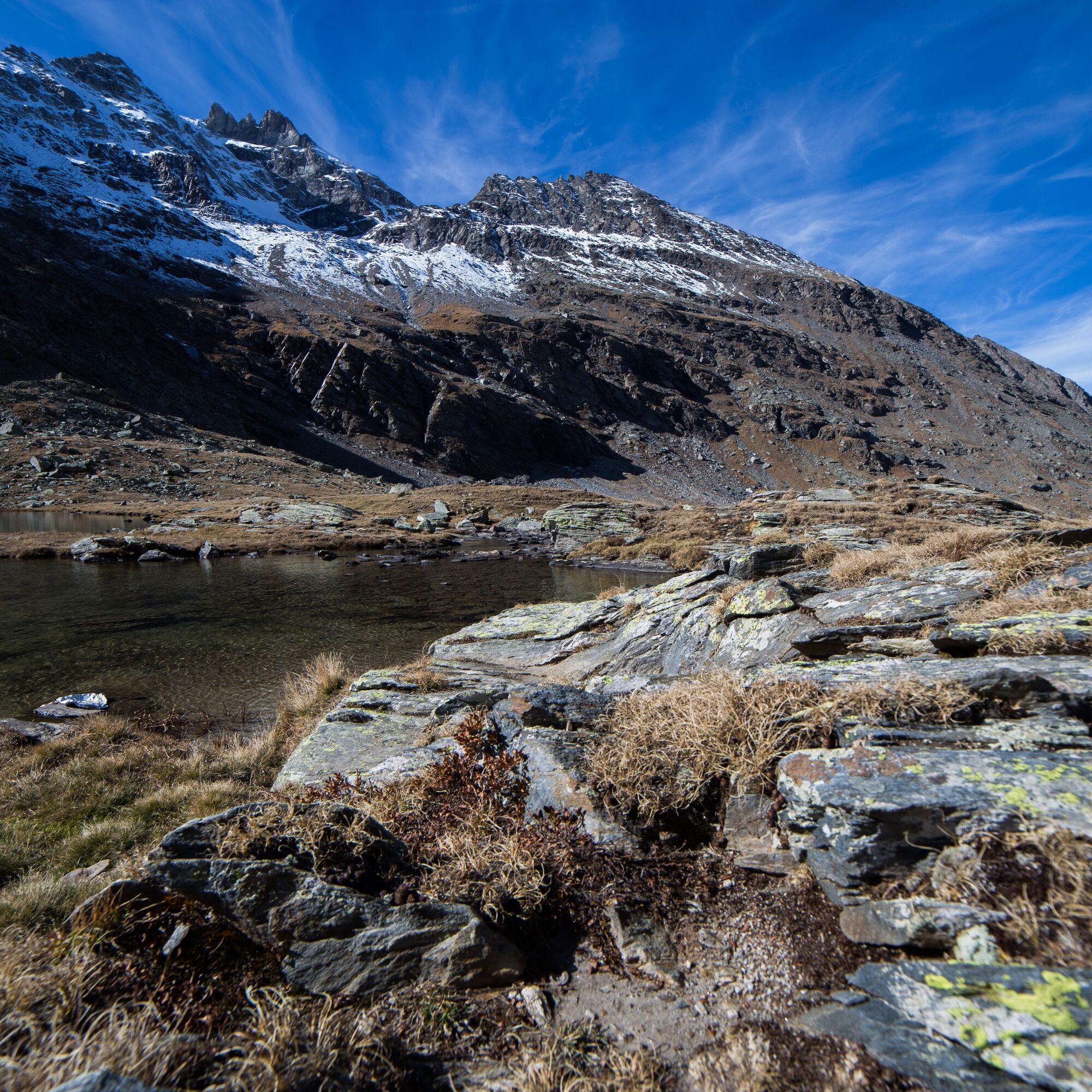
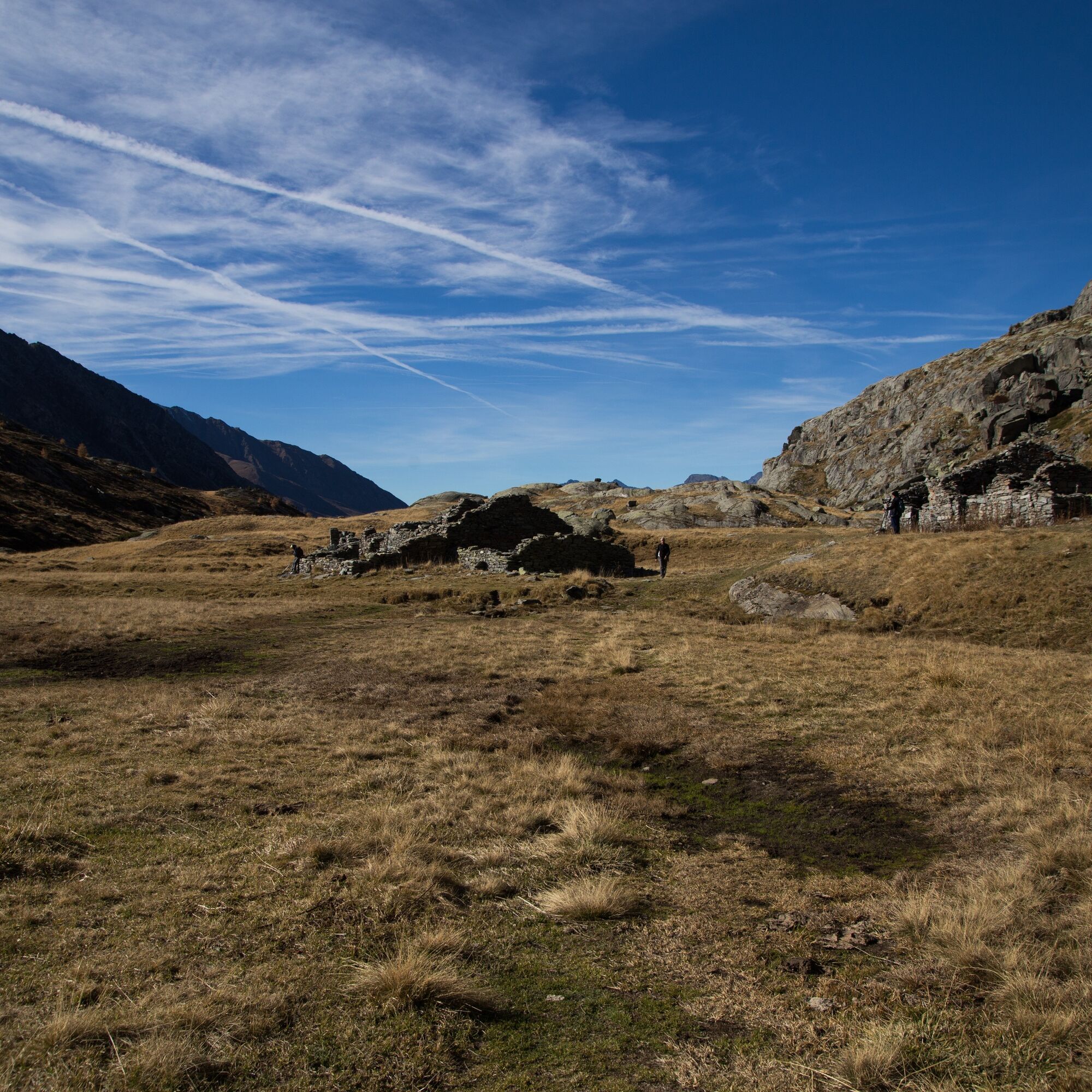
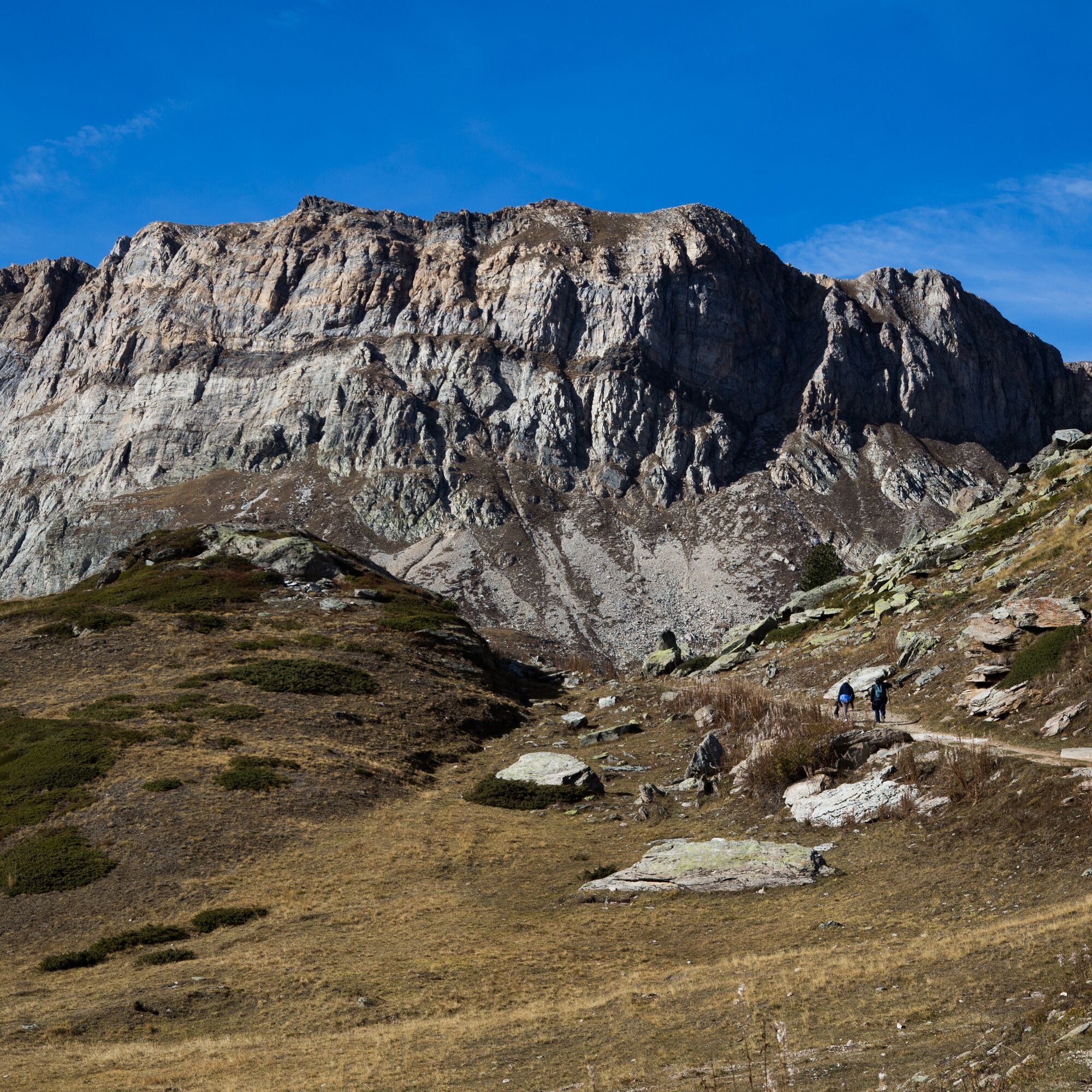
From the Colle del Piccolo Moncenisio, near the refuge of the same name in French territory, you reach Col Clapier (2477 asl) in about 2 hours of walking in terrain dominated on the right by the Denti d'Ambin massif, passing Lake Sevine. Then, having reached Col Clapier, descend along the Sentiero Balcone, ignoring the crossroads for Bivacco Vaccarone on the right. Leave a concrete shelter on the right and going down the paved path after a few hairpin bends you come across a small barracks. Soon you are on the dirt road of Val Clarea (Sentiero Balcone) which you follow down to the bottom of the valley where, in a deciduous forest environment, you reach the hamlet of San Giacomo di Giaglione. Alternatively, it is possible from Col Clapier to continue towards the Vaccarone refuge and then take the hiking variant that ends at the Levi Molinari refuge from which you cross the second stage towards Salbertrand.
Yes
Abbigliamento e calzature adeguate, anche impermeabile: eventuali bastoncini da trekking. Borraccia dell'acqua.
Popular tours in the neighbourhood
BARDONECCHIA Colle Sommeiller
mediumMountainbike25,4 kmCol du Mont Cenis from Lanslebourg
mediumRacing9,84 kmSentier pédestre des Sculptures - Land Art Montagne
heavyThematic route5,16 kmBARDONECCHIA Forte Foens - Galleria dei Saraceni - Forte Pramand
mediumMountainbike34,3 kmCol du Mont Cenis from Modane
mediumRacing34,8 kmBARDONECCHIA Bacini Frejusia - Decauville - Diga di Rochemolles
lightMountainbike7,54 km- 4,0
Rocciamelone partedjo dalla Riposa. Mompantero, Piemont/Italien
mediumHiking10,6 km - 3,0
Colle Sommellier Bardonecchia, Piemonte/Italia
mediumHiking14,0 km Goldtoni - Alpenbogen A117 Susa-Lago di Malciaussia
mediumLong-distance walking trail24,7 kmGoldtoni - Alpenbogen A116 Lago di Laux-Susa
lightLong-distance walking trail23,9 km
Hiking & Tracking


Don't miss out on offers and inspiration for your next holiday
Your e-mail address has been added to the mailing list.