Winter
Summer
Weather
Webcams
Accommodations
Tours
Search history
Search suggestions
No results found
Search
Tours
Home
Summer Österreich
Styria
Tours
Traboch, Steiermark
Ski resorts
Snow parks
Cross-country skiing
Weather
Webcams
Snow reports
Accommodations
Offers
Sports provider
Events
Summer
Tours
Traboch, Steiermark
Hiking
Bookmark
Map
show
hide
Print
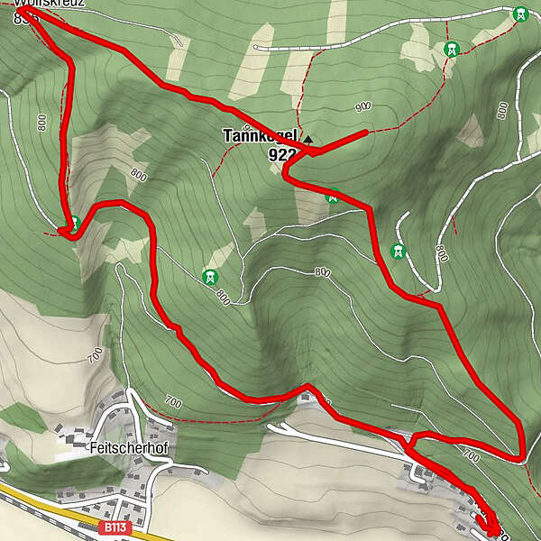
Tour data
5
km
703 - 967
m
Distance
288
hm
284
hm
Ascent
01:16
h
Duration
Len
created am 19.07.2019
12
Views
(Status: unofficial)
Highest point
967 m
Report tour
GPS Downloads
GPX
GPS Exchange Format (XML)
KML
Google Earth, Google Maps
QR Download Codes for Mobile Phones
Traboch, Steiermark
QR Codes - tour download for cell phones
GPX
KML
Other tours in the regions
Erzberg Leoben
2528
Bruckmur-Kapfenberg
1499
Traboch
195
Popular tours in the area
Eisenerzer Reichenstein
medium
Hiking
8.94
km |
919
hm |
03:26
h
Kaiserschild 2.084m, Kaiserwart 2.033m & Hochkogel 2.105m
medium
Hiking
12.6
km |
1363
hm |
06:30
h
Hochalm - Maria Schnee from "Kühberger"
medium
Hiking
10.38
km |
776
hm |
04:00
h
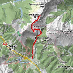
TAC Spitze - Vordernberger Grießmauer
medium
Hiking
4.55
km |
874
hm |
04:30
h
No entries found.
The search is currently not available.
Please refine your search.
Local search results
(<= 25km)
More results
(> 25km)
%count% Search results
%name%
%type%
%elevation%
%population%
%lpButton%


 & Kaiserschild (rechts)")