Winter
Summer
Weather
Webcams
Accommodations
Tours
Search history
Search suggestions
No results found
Search
Tours
Home
Summer Österreich
Styria
Tours
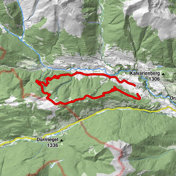
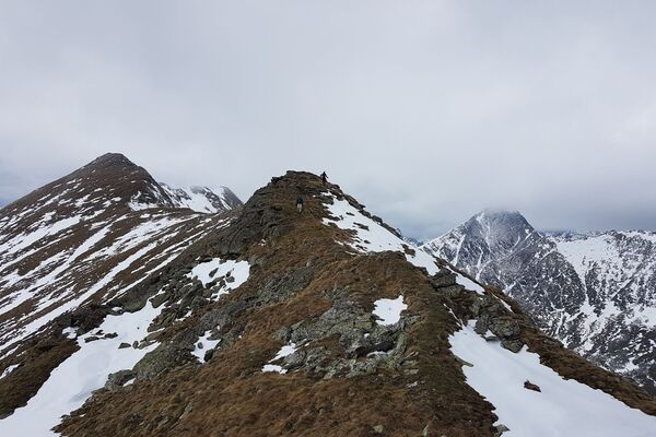
Jagawirt-Holzerhütte-Weidschober-Schattensee-Jagawirt
Ski resorts
Snow parks
Cross-country skiing
Weather
Webcams
Snow reports
Accommodations
Offers
Sports provider
Events
Summer
Tours
Jagawirt-Holzerhütte-Weidschober-Schattensee-Jagawirt
Hiking
Bookmark
Map
show
hide
Print
Tour data
18
km
1,142 - 1,692
m
Distance
601
hm
624
hm
Ascent
06:19
h
Duration
Nagy Zsuzsanna
created am 24.07.2019
1
Views
(Status: unofficial)
Highest point
1,692 m
Report tour
GPS Downloads
GPX
GPS Exchange Format (XML)
KML
Google Earth, Google Maps
QR Download Codes for Mobile Phones
Jagawirt-Holzerhütte-Weidschober-Schattensee-Jagawirt
QR Codes - tour download for cell phones
GPX
KML
Other tours in the regions
TourismusRegion Murau
1743
Naturpark Sölktäler
927
Krakau in der Steiermark
170
Popular tours in the area
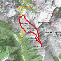
4-Gipfeltour Sölkpass Hornfeldspitz, Aarfeldspitz, Narrenspitze, Am...
medium
Hiking
8.43
km |
644
hm |
02:49
h
Schoberspitze
difficult
Hiking
3.67
km |
858
hm |
02:15
h
3-lakes-hike to the Kaltenbachseen
medium
Hiking
4.2
km |
493
hm |
03:00
h
Zwiefler lakes- Sölkpass
medium
Hiking
4.16
km |
570
hm |
01:49
h
No entries found.
The search is currently not available.
Please refine your search.
Local search results
(<= 25km)
More results
(> 25km)
%count% Search results
%name%
%type%
%elevation%
%population%
%lpButton%