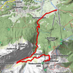
Rund um den Wannig

Logo Rund um den Wannig
Tour data
45.1km
1,001 - 1,867m
Distance
2,631hm
2,631hm
Ascent
07:00h
 
Duration
Difficulty
difficult
Rating
Technique
Fitness
Landscape
Experience
Best season
Jan
Feb
Mar
Apr
May
Jun
Jul
Aug
Sep
Oct
Nov
Dec
Highest point
1,867 m

Overall rating

5

0

%

4

0

%

3

0

%

2

0

%

1

0

%

Error
An error has occurred. Please try again.
Thank you for your review

Rating has been deleted

GPS Downloads
  • GPX GPS Exchange Format (XML)
  • KML Google Earth, Google Maps
QR Download Codes for Mobile Phones
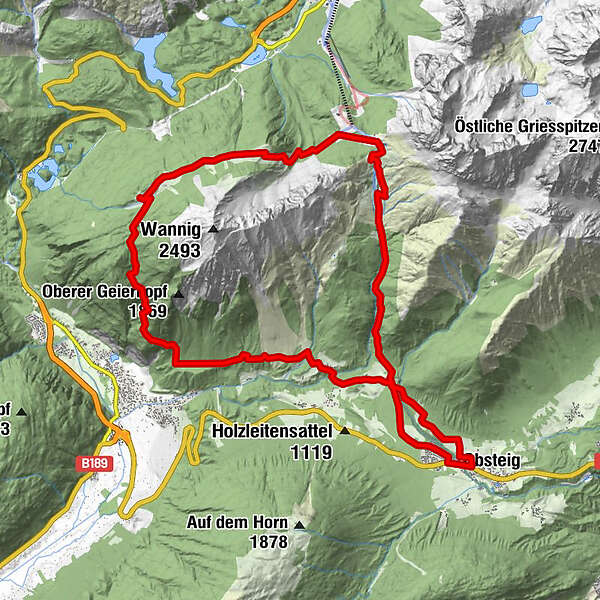
Other tours in the regions

Popular tours in the area

Zur Kohlbergspitze

medium Hiking
4.9km | 1127hm | 05:00h

Obsteig - Simmering Alm

medium Hiking
13.94km | 937hm | 06:30h

Höllentalklamm & Höllentorkopf - ein Rundweg

difficult Hiking
16.9km | 1336hm | 08:00h